Elevation of Camas County, ID, USA
Location: United States > Idaho >
Longitude: -114.82436
Latitude: 43.5093688
Elevation: 1974m / 6476feet
Barometric Pressure: 80KPa
Elevation Map:
Satellite Map:
Related Photos:
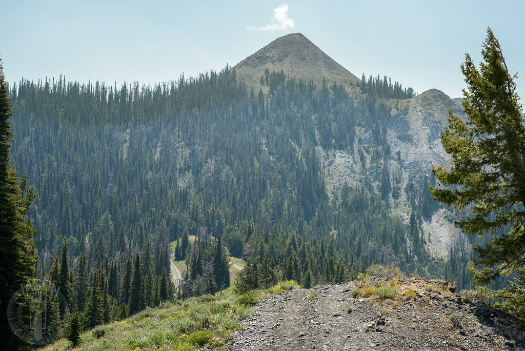
Atop Dollarhide
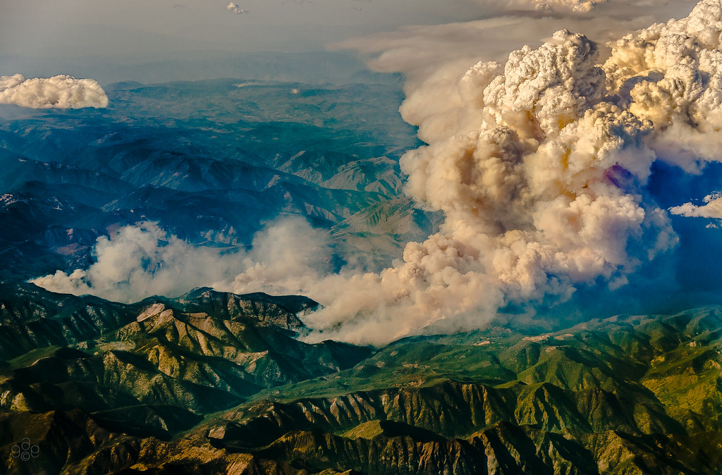
Idaho burns: a closer approach

Idaho burns
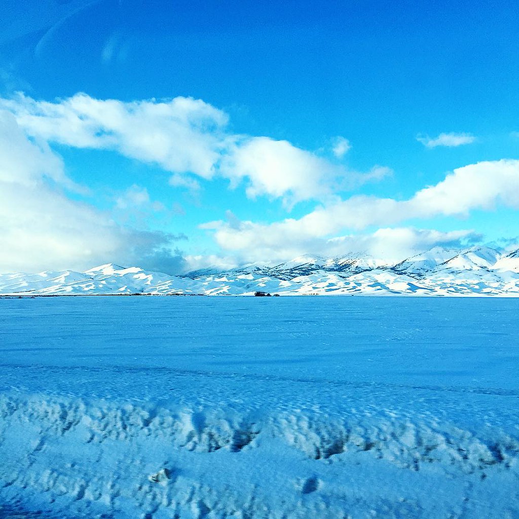
Huge snow plain in front of snow mountains. What a beauty to behold...
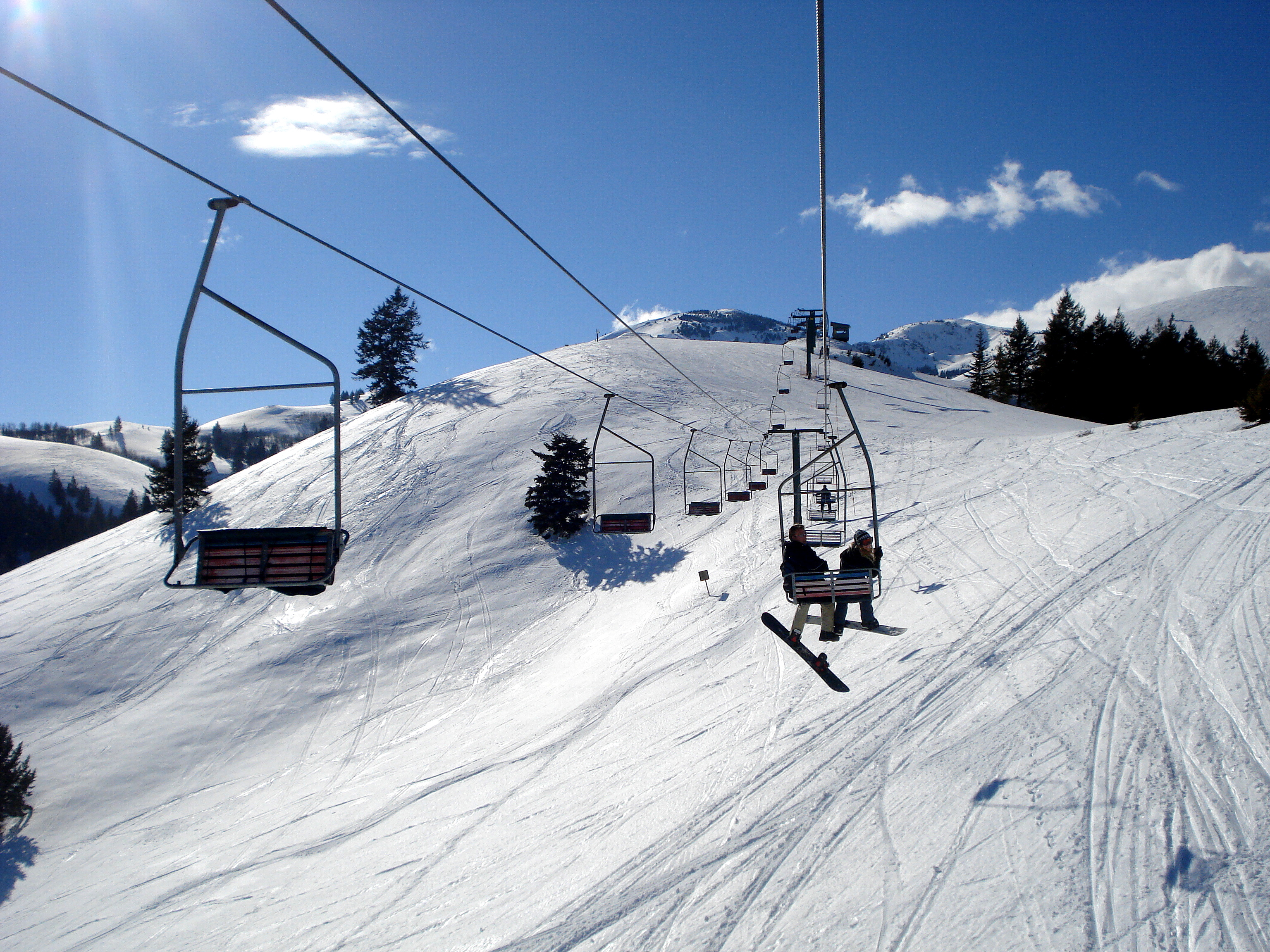
Chair Lift
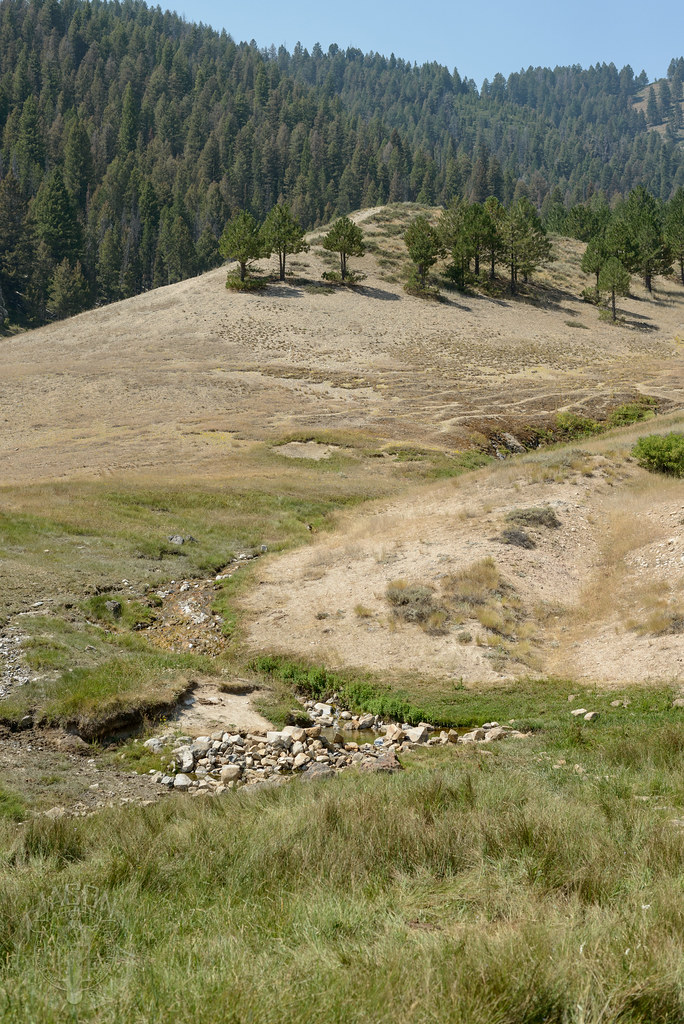
Worsick Hot Springs

You may fall, but picking yourself up after the fall will make you stronger... Ski away!

Jump right in

South Fork valley
Topographic Map of Camas County, ID, USA
Find elevation by address:

Places in Camas County, ID, USA:
Places near Camas County, ID, USA:
Indian Head Rock
Silver Brush Road
Homestead Road
Soldier
Base Line Rd, Fairfield, ID, USA
Base Line Road
Fairfield
Rancho Cielo Road
3748 N Phil Pl
E Paradise Dr, Mountain Home, ID, USA
Paradise Hot Springs
Croy Creek Rd, Hailey, ID, USA
1063 N Pine-featherville Rd
12 N Pine-Featherville Rd, Mountain Home, ID, USA
Pine
Magic Resort
Valley Club Dr & Stone Bridges Rd
11 Hidden Lake Dr
1550 2nd Ave N
1440 2nd Ave N
Recent Searches:
- Elevation of Corso Fratelli Cairoli, 35, Macerata MC, Italy
- Elevation of Tallevast Rd, Sarasota, FL, USA
- Elevation of 4th St E, Sonoma, CA, USA
- Elevation of Black Hollow Rd, Pennsdale, PA, USA
- Elevation of Oakland Ave, Williamsport, PA, USA
- Elevation of Pedrógão Grande, Portugal
- Elevation of Klee Dr, Martinsburg, WV, USA
- Elevation of Via Roma, Pieranica CR, Italy
- Elevation of Tavkvetili Mountain, Georgia
- Elevation of Hartfords Bluff Cir, Mt Pleasant, SC, USA