Elevation of Silver Brush Road, Silver Brush Rd, Idaho, USA
Location: United States > Idaho > Camas County > Fairfield >
Longitude: -114.79868
Latitude: 43.4496451
Elevation: 1722m / 5650feet
Barometric Pressure: 82KPa
Elevation Map:
Satellite Map:
Related Photos:

Fires near Fairfield Id

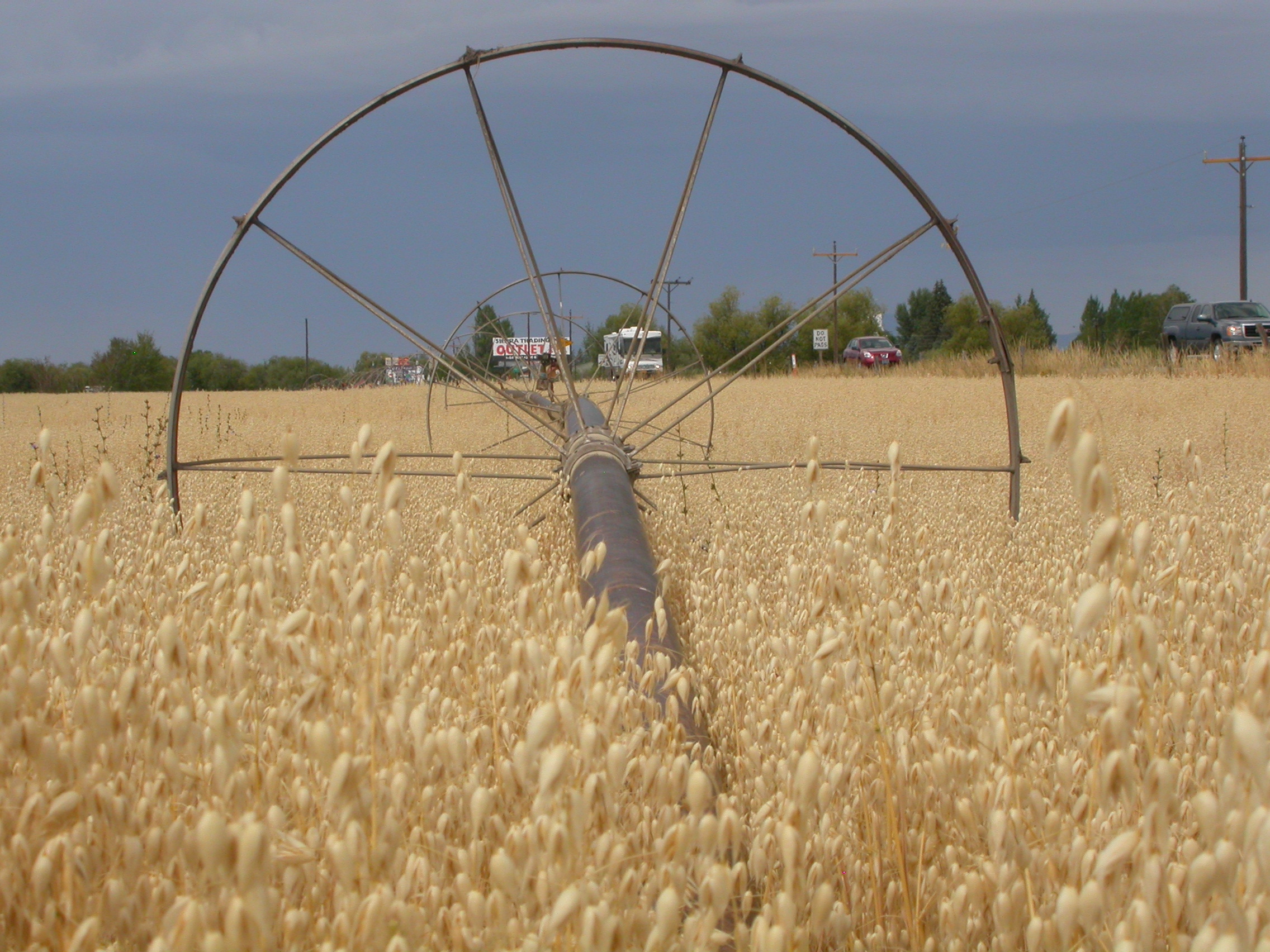
Avena sativa

Avena sativa

Avena sativa

Avena sativa
Avena sativa

Avena sativa

Near Carey Idaho

Jump right in

Idaho teen camp

Chair Lift

2014 Bible Camp, ID

2014 Bible Camp, ID

Worsick Hot Springs

2014 Bible Camp, ID

Teen Camp, Idaho

Wildfire Smoke Rising

Idaho teen camp

Idaho teen camp

Idaho teen camp

Idaho teen camp

For Sale
Topographic Map of Silver Brush Road, Silver Brush Rd, Idaho, USA
Find elevation by address:

Places near Silver Brush Road, Silver Brush Rd, Idaho, USA:
Camas County
Soldier
Base Line Rd, Fairfield, ID, USA
Base Line Road
Homestead Road
Fairfield
Indian Head Rock
Rancho Cielo Road
Croy Creek Rd, Hailey, ID, USA
Magic Resort
Valley Club Dr & Stone Bridges Rd
E Paradise Dr, Mountain Home, ID, USA
1550 2nd Ave N
1440 2nd Ave N
3748 N Phil Pl
Paradise Hot Springs
11 Hidden Lake Dr
Hailey
16 Bullion St, Hailey, ID, USA
Pine Street
Recent Searches:
- Elevation of Doe Cir, Clinton, OH, USA
- Elevation of Narhe, Pune, Maharashtra, India
- Elevation of Martins Mill Ct, Eagle Rock, NC, USA
- Elevation of Kippen, Stirling FK8, UK
- Elevation of Sieveringer Straße, Sieveringer Str., Wien, Austria
- Elevation of Bratskaya Ulitsa, 24, Kurgan, Kurganskaya oblast', Russia
- Elevation of Paradisvegen, Biri, Norway
- Elevation of Crystal Cir, Birmingham, AL, USA
- Elevation of N Railroad Ave, West Palm Beach, FL, USA
- Elevation of 55 Cassick Valley Rd, Wellfleet, MA, USA