Elevation of Zagubica, Serbia
Location: Serbia > Braničevo District >
Longitude: 21.8619211
Latitude: 44.1674075
Elevation: 679m / 2228feet
Barometric Pressure: 93KPa
Elevation Map:
Satellite Map:
Related Photos:

Metrowagonmash RA-2 in Krivelj
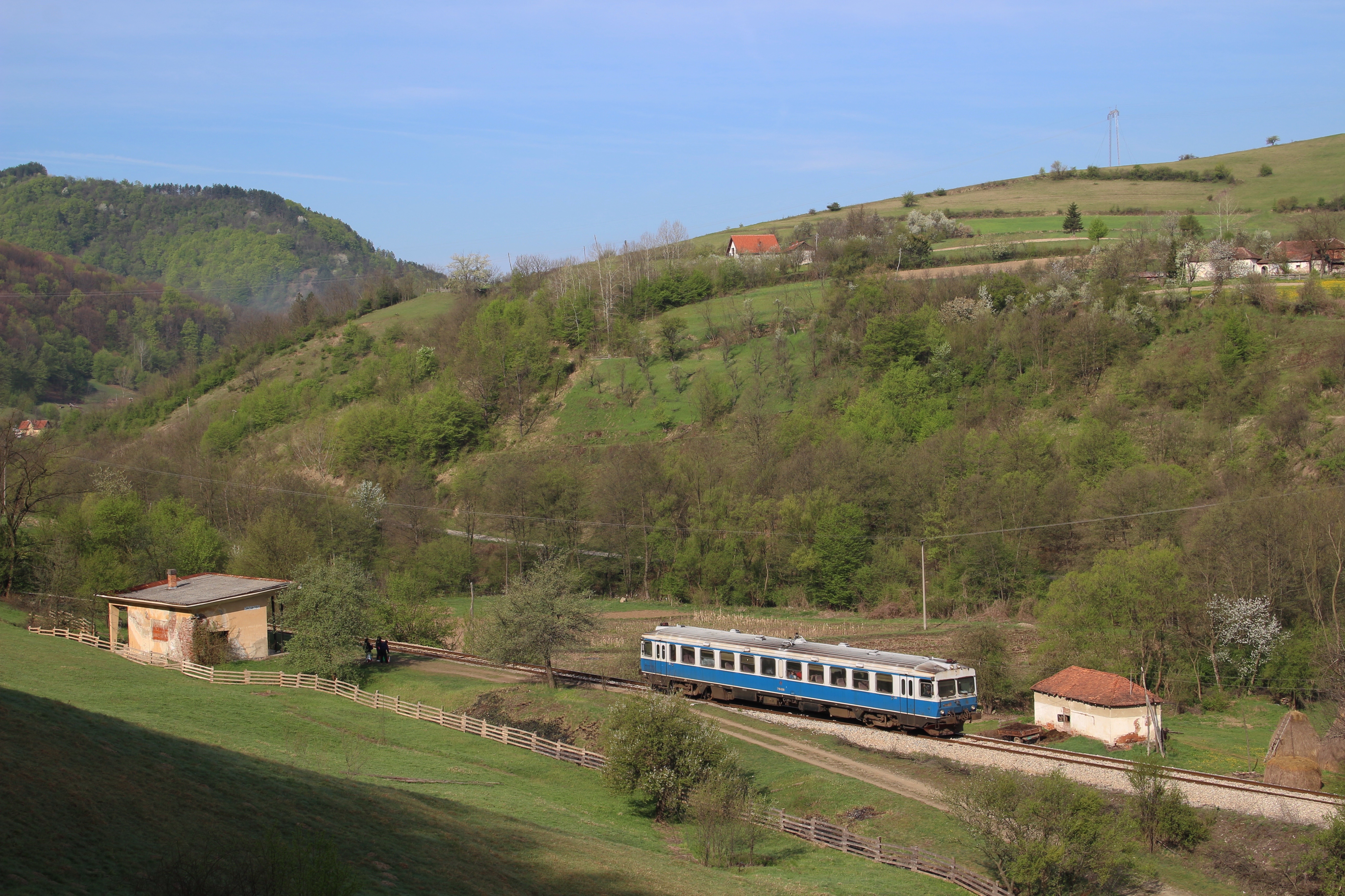
710 008 Jasikovo 26 04 2015
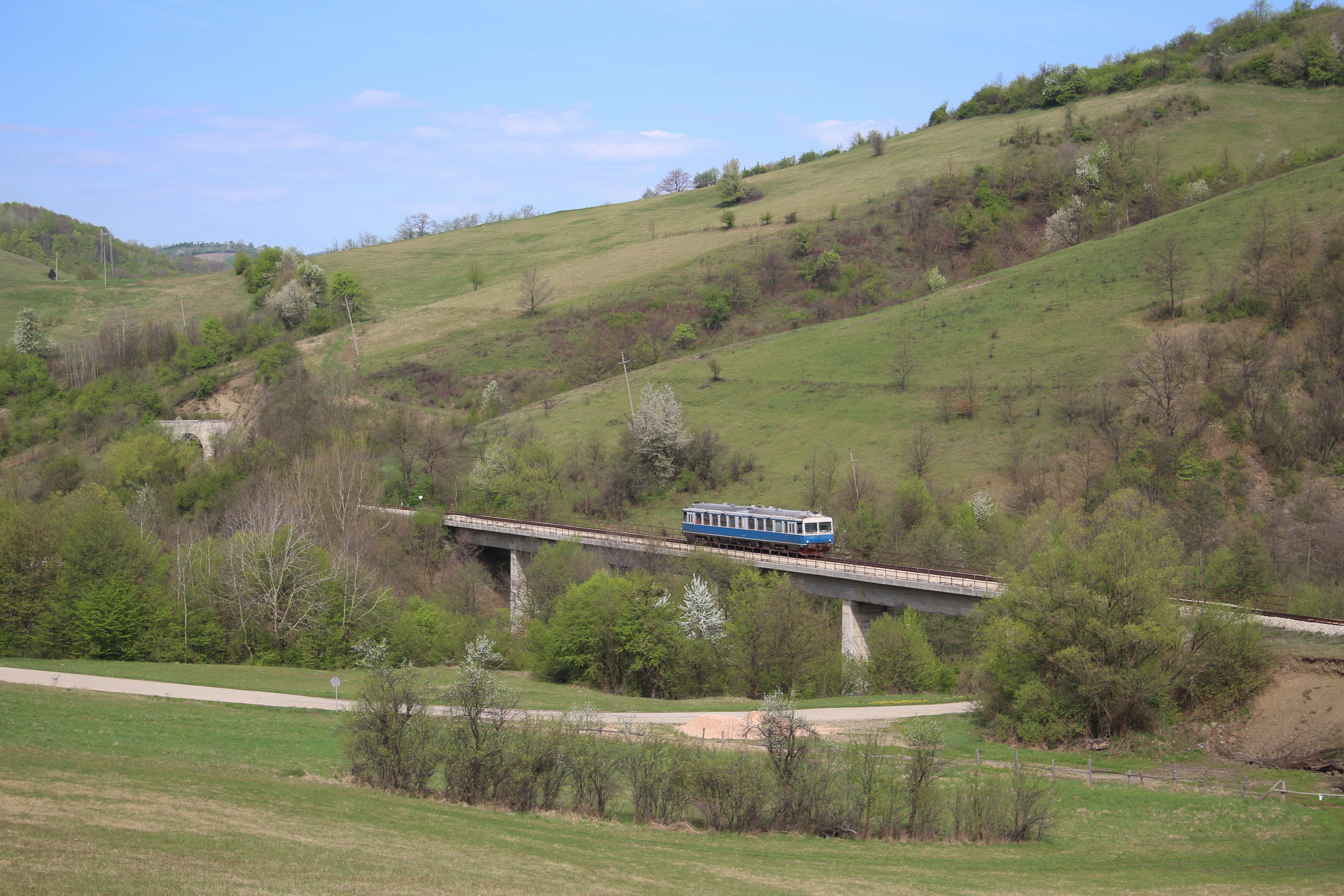
710 008 Vlaole 26 04 2015

Bor, RS

EMD JT22CW with freight train on Krivelj bridge
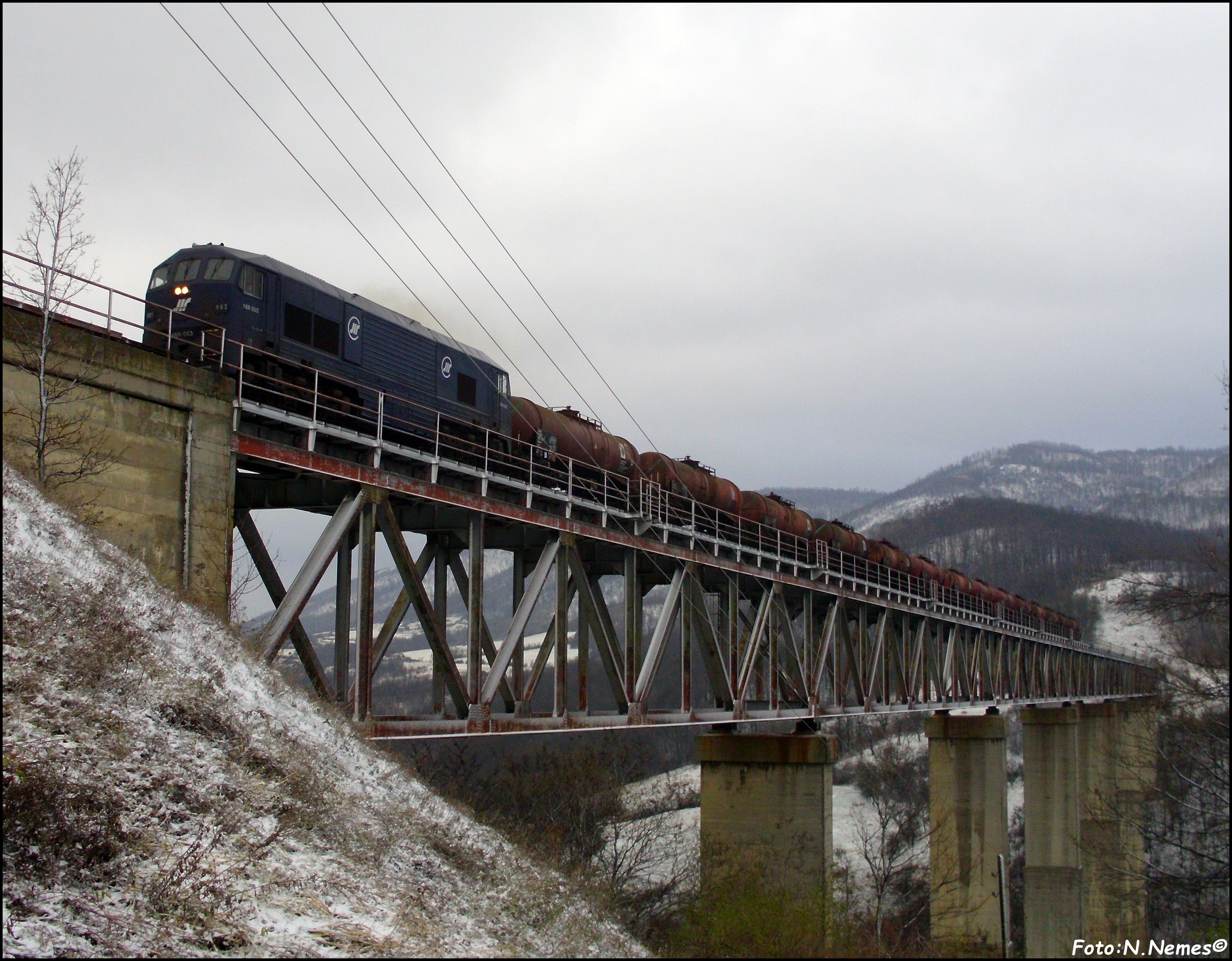
666-003 at Krivelj bridge
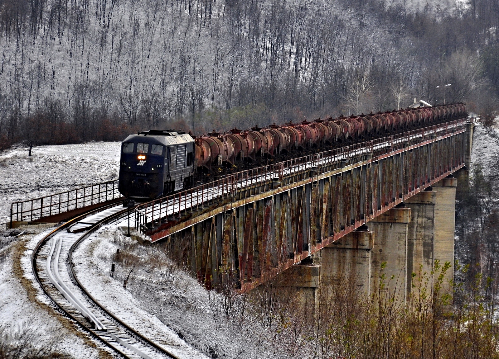
666-003 with freight for Bor
When you wait trains in very cold day :)
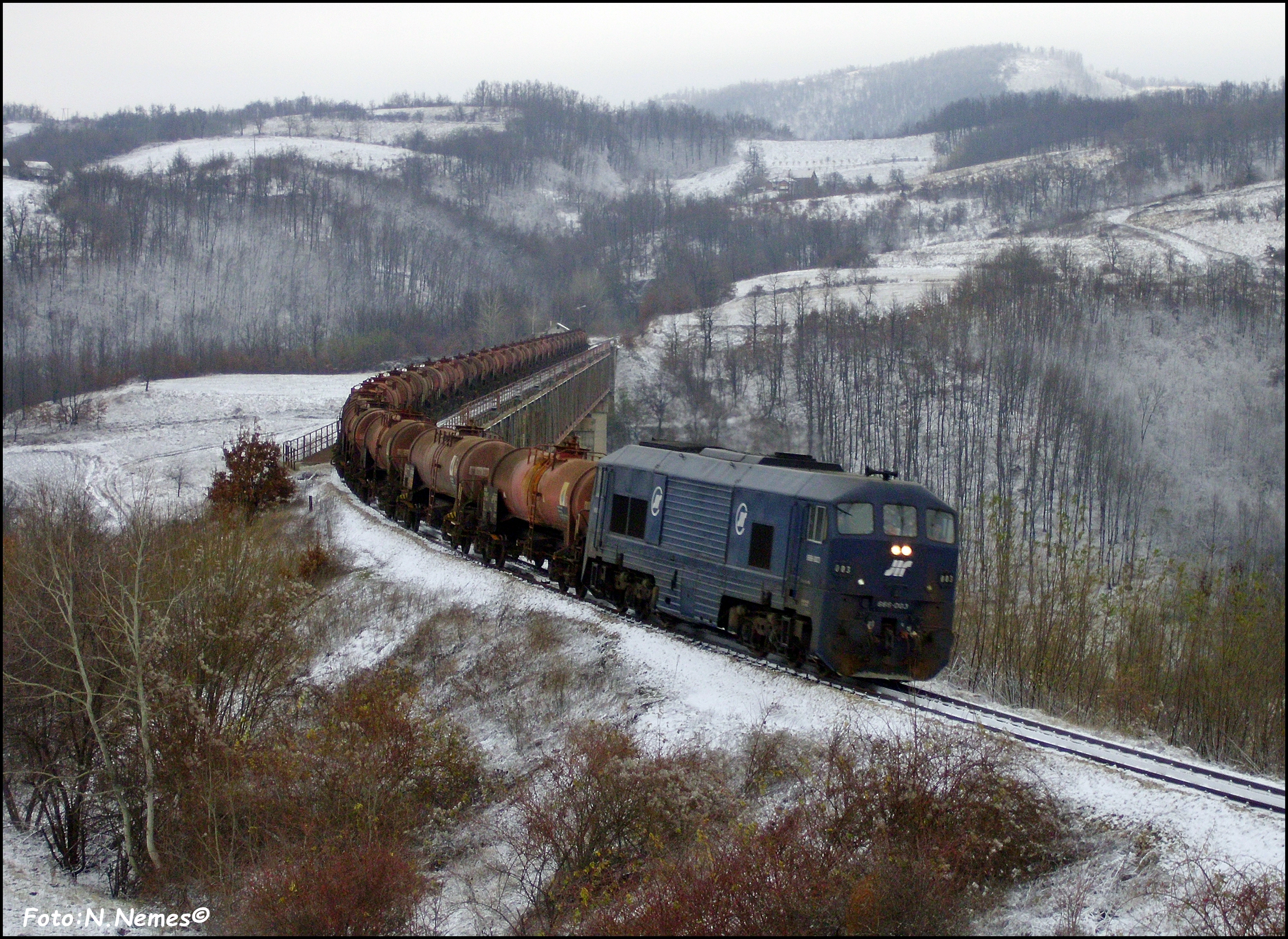
666-003 with freight in Krivelj, east Serbia
2014-06-08 08.01.04

2014-06-08 17.52.01

2014-06-08 17.39.42

2014-06-08 17.39.49

2014-06-08 17.52.08

2014-06-08 22.53.32

2014-06-08 22.54.12

2014-06-08 22.54.42

2014-06-08 22.54.26
2014-06-09 10.17.06
2014-06-09 10.24.42

Letnja izmaglica
Topographic Map of Zagubica, Serbia
Find elevation by address:

Places near Zagubica, Serbia:
Brestovac
Bor
Bor Airport
National Park Djerdap
Boljetin
Rtanj
Krivača
Bor District
Petrovac
Mirilovac
Braničevo District
Dr Jovanovića
Coronini
Coronini
Đerdap
Paraćin
Veliki Popovac
Moldova Veche
Pomoravlje District
Shishentsi
Recent Searches:
- Elevation of Corso Fratelli Cairoli, 35, Macerata MC, Italy
- Elevation of Tallevast Rd, Sarasota, FL, USA
- Elevation of 4th St E, Sonoma, CA, USA
- Elevation of Black Hollow Rd, Pennsdale, PA, USA
- Elevation of Oakland Ave, Williamsport, PA, USA
- Elevation of Pedrógão Grande, Portugal
- Elevation of Klee Dr, Martinsburg, WV, USA
- Elevation of Via Roma, Pieranica CR, Italy
- Elevation of Tavkvetili Mountain, Georgia
- Elevation of Hartfords Bluff Cir, Mt Pleasant, SC, USA