Elevation of Dr Jovanovića, Sokobanja, Serbia
Location: Serbia >
Longitude: 21.8814114
Latitude: 43.6384232
Elevation: 359m / 1178feet
Barometric Pressure: 97KPa
Elevation Map:
Satellite Map:
Related Photos:

The hills
Collecting...

View from Rtanj
Vrmdza lake

Fields of Serbia. Tanjica Perovic Photography.

Beautiful reflection

Let the sunshine in

Soko Banja Fortress
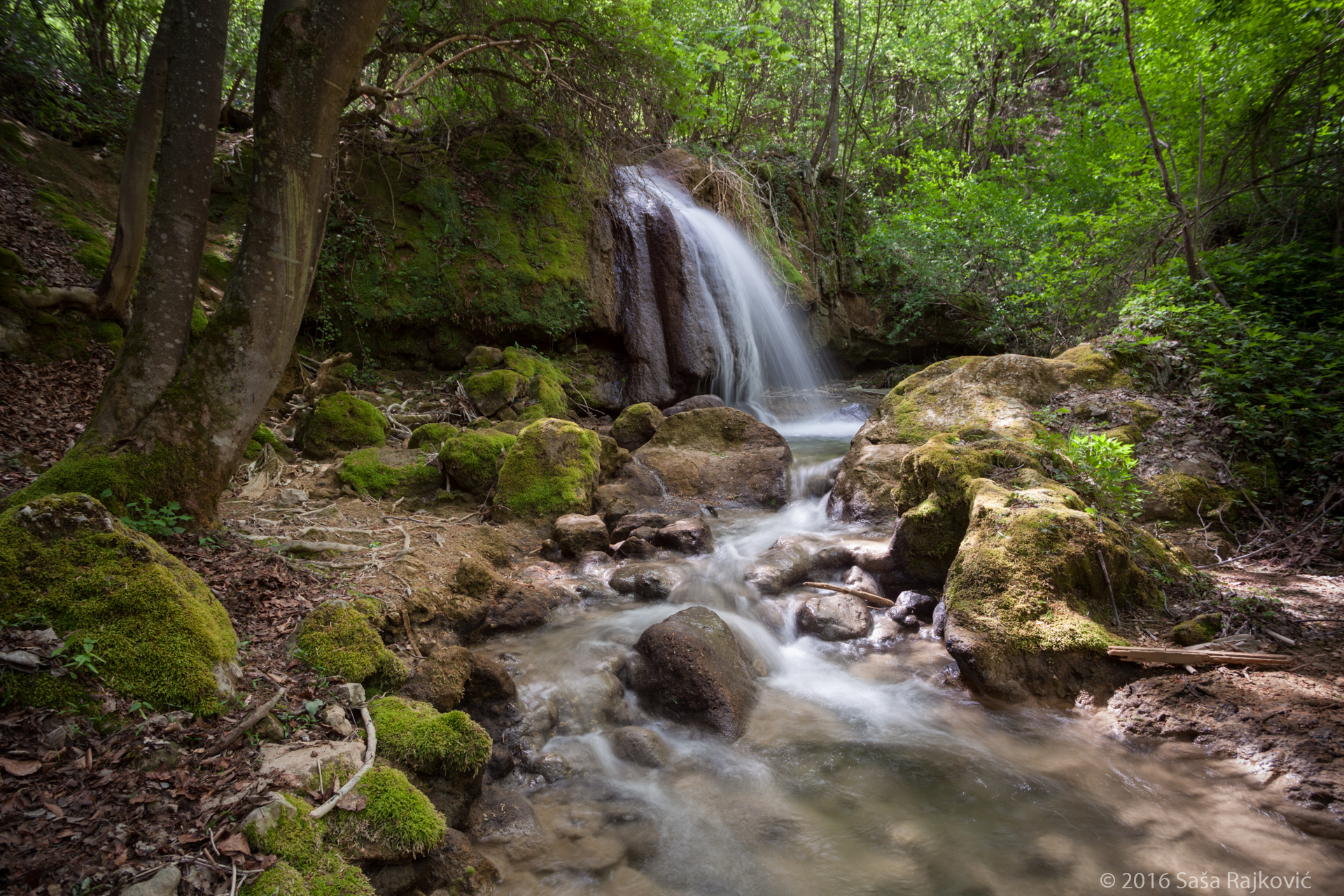
Мала Рипаљка / "Ripaljkа" Waterfall

"6 kace"

Close to nature

Sokobanja 2012

Sokobanja 2012

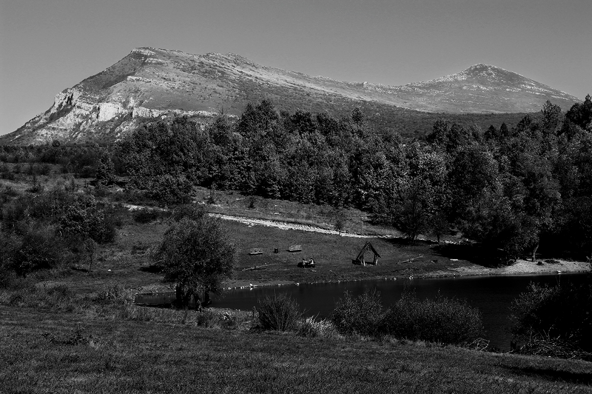
Vrmdža

Vrmdža

Vrmdža

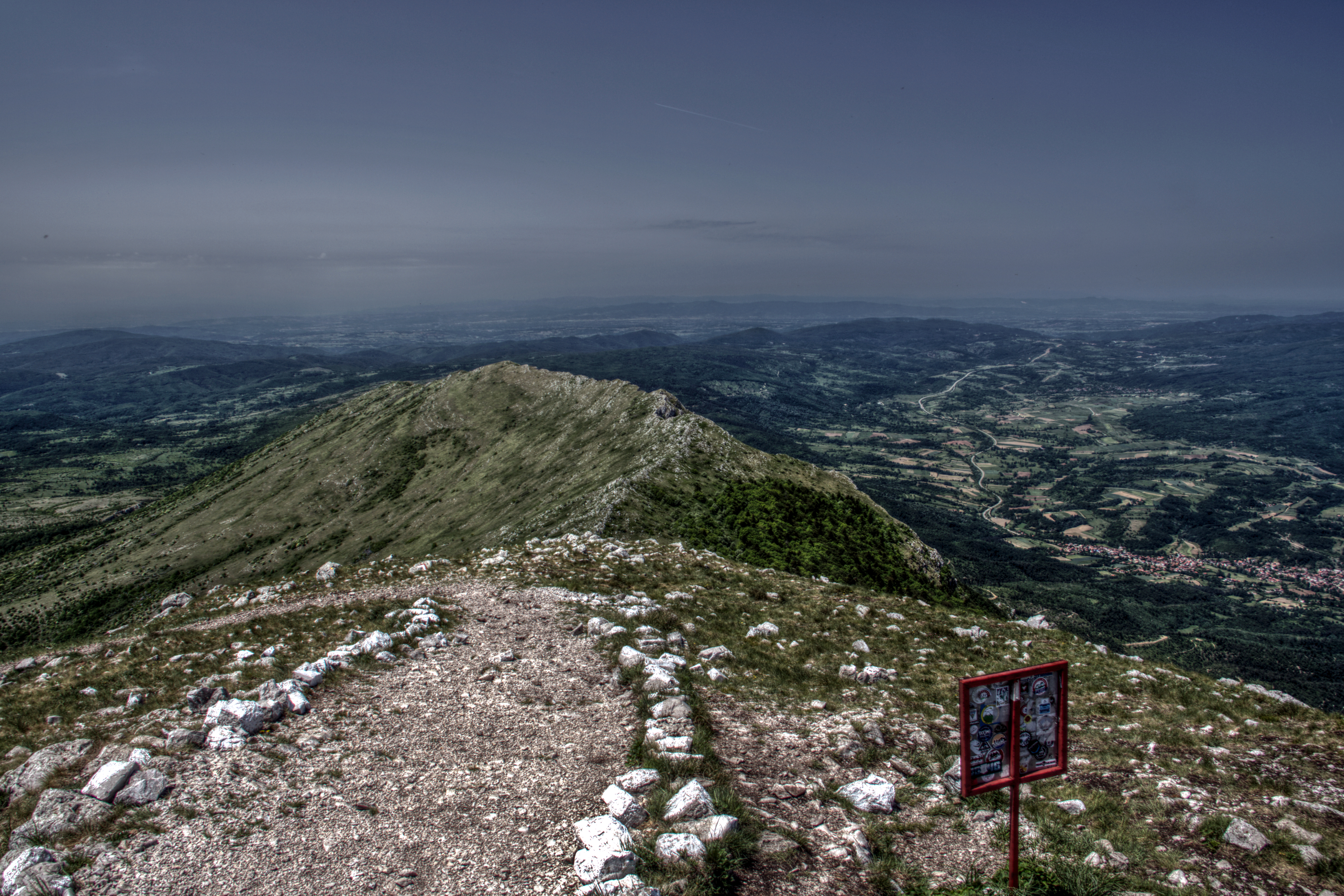
Peak of Mt. Rtanj
Path Down from Mt. Rtanj

Slopes of Mt. Rtanj

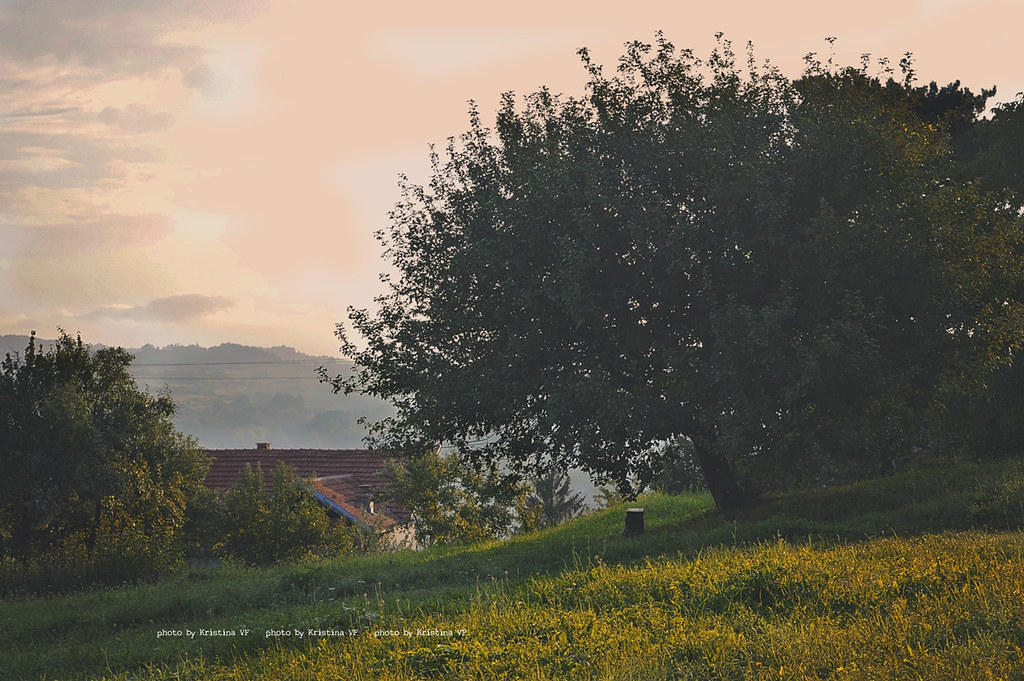
Serbian Countryside

Guesthouse from Above

XL600LM-1
Topographic Map of Dr Jovanovića, Sokobanja, Serbia
Find elevation by address:

Places near Dr Jovanovića, Sokobanja, Serbia:
Rtanj
Brestovac
Mirilovac
Bor Airport
Bor
Paraćin
Zagubica
Shishentsi
Pomoravlje District
Bor District
Petrovac
National Park Djerdap
Boljetin
Veliki Popovac
Braničevo District
Krivača
Coronini
Đerdap
Coronini
Moldova Veche
Recent Searches:
- Elevation of Corso Fratelli Cairoli, 35, Macerata MC, Italy
- Elevation of Tallevast Rd, Sarasota, FL, USA
- Elevation of 4th St E, Sonoma, CA, USA
- Elevation of Black Hollow Rd, Pennsdale, PA, USA
- Elevation of Oakland Ave, Williamsport, PA, USA
- Elevation of Pedrógão Grande, Portugal
- Elevation of Klee Dr, Martinsburg, WV, USA
- Elevation of Via Roma, Pieranica CR, Italy
- Elevation of Tavkvetili Mountain, Georgia
- Elevation of Hartfords Bluff Cir, Mt Pleasant, SC, USA