Elevation of Yetta Rd, Quesnel, BC V2J 7G5, Canada
Location: Canada > British Columbia > Cariboo > Cariboo B > Quesnel Forks >
Longitude: -122.84977
Latitude: 52.9603575
Elevation: 835m / 2739feet
Barometric Pressure: 92KPa
Elevation Map:
Satellite Map:
Related Photos:
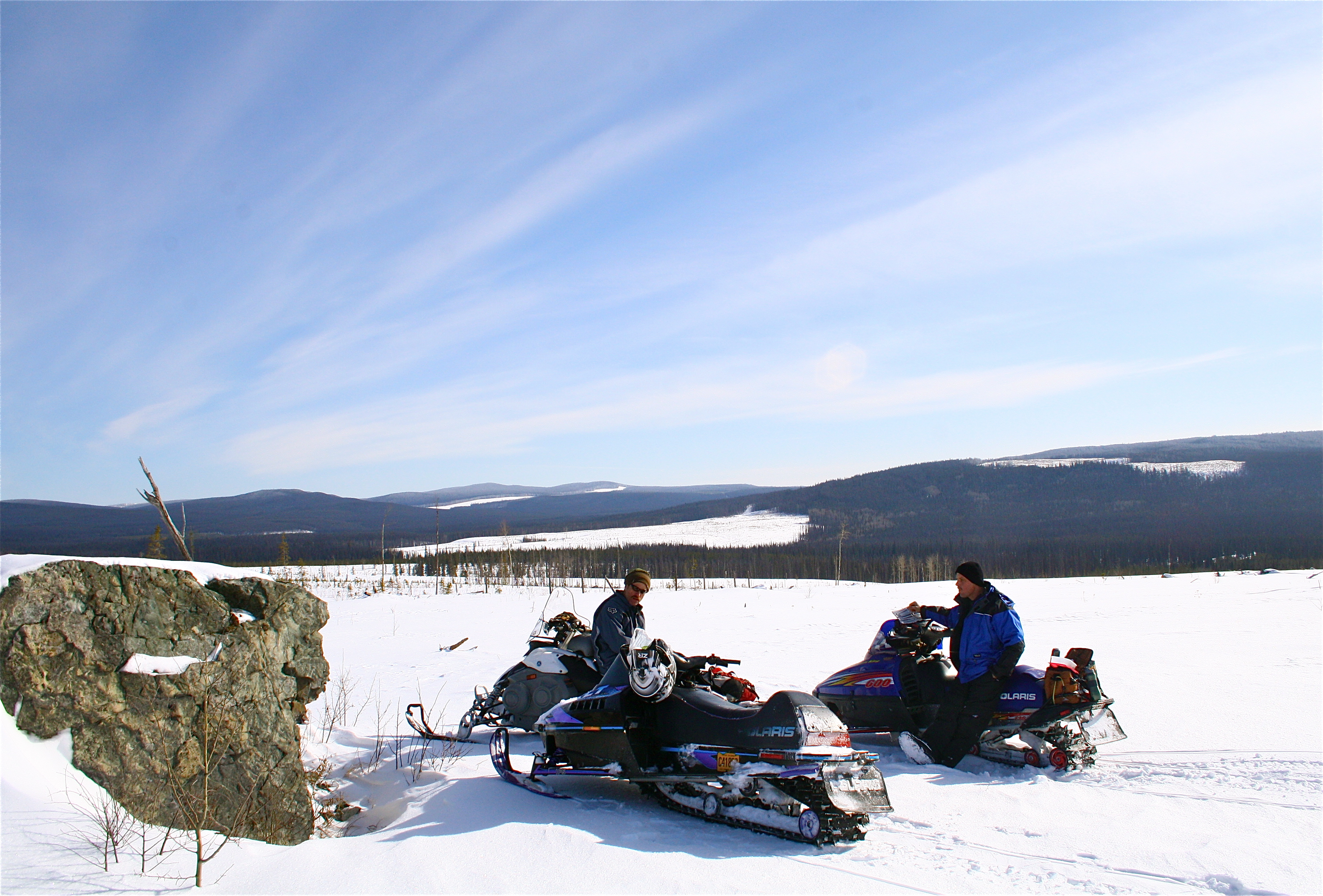
Lunch at the Rock
Topographic Map of Yetta Rd, Quesnel, BC V2J 7G5, Canada
Find elevation by address:

Places near Yetta Rd, Quesnel, BC V2J 7G5, Canada:
Bluestone Road
Lavington Road
Lavington Road
Marshall Rd, Quesnel, BC V2J 7J2, Canada
Bouchie Lake
1149 Marsh Rd
938 Stubbington Rd
580 Dixon St
Healy Street
Purmal St, Quesnel, BC V2J 4T3, Canada
Quesnel View
1702 Dyke Rd
1702 Dyke Rd Unit 114
1471 W Fraser Rd
Quesnel
Cariboo B
721 Destiny Dr
Red Bluff
Maple Dr, Quesnel, BC V2J 4A2, Canada
1785 Birch Ave
Recent Searches:
- Elevation of Corso Fratelli Cairoli, 35, Macerata MC, Italy
- Elevation of Tallevast Rd, Sarasota, FL, USA
- Elevation of 4th St E, Sonoma, CA, USA
- Elevation of Black Hollow Rd, Pennsdale, PA, USA
- Elevation of Oakland Ave, Williamsport, PA, USA
- Elevation of Pedrógão Grande, Portugal
- Elevation of Klee Dr, Martinsburg, WV, USA
- Elevation of Via Roma, Pieranica CR, Italy
- Elevation of Tavkvetili Mountain, Georgia
- Elevation of Hartfords Bluff Cir, Mt Pleasant, SC, USA