Elevation of Quesnel Forks, BC V0K, Canada
Location: Canada > British Columbia > Cariboo > Cariboo B >
Longitude: -121.66666
Latitude: 52.6666669
Elevation: 764m / 2507feet
Barometric Pressure: 92KPa
Elevation Map:
Satellite Map:
Related Photos:
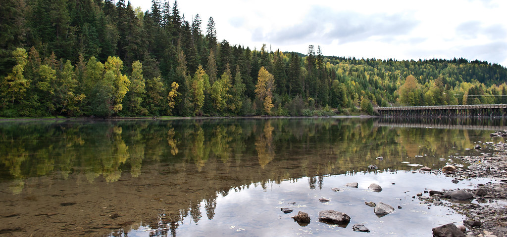
Likely Reflections
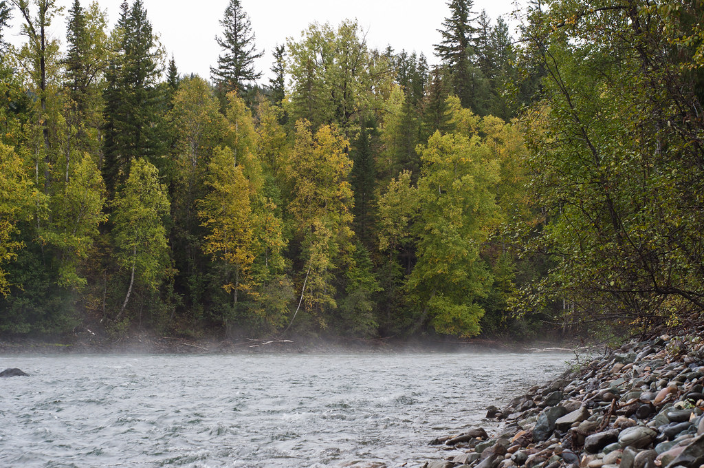
Caribou River Mist
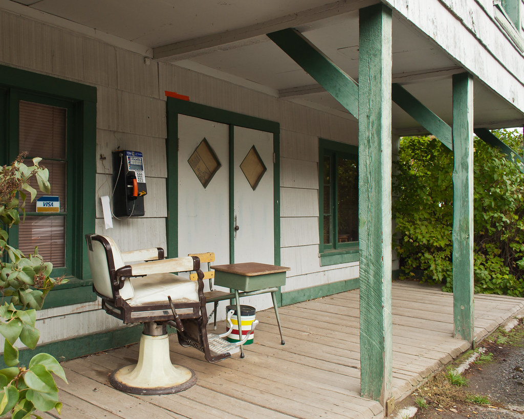
Likely BC City Hall
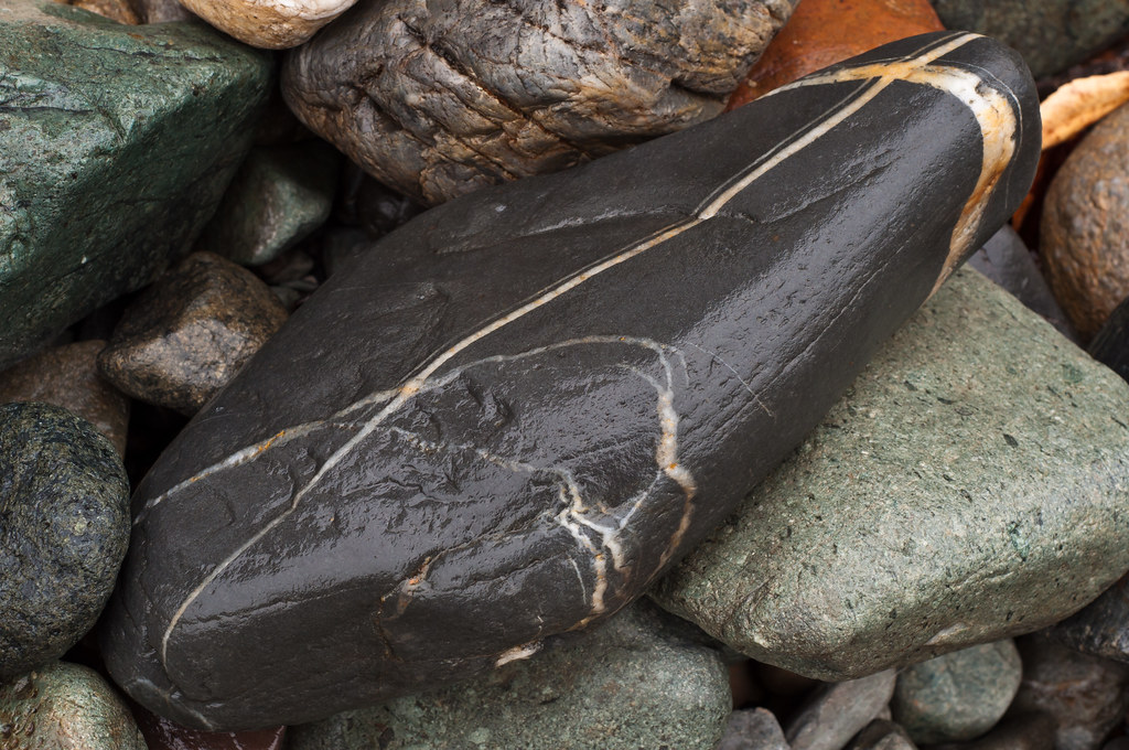
River Rocks
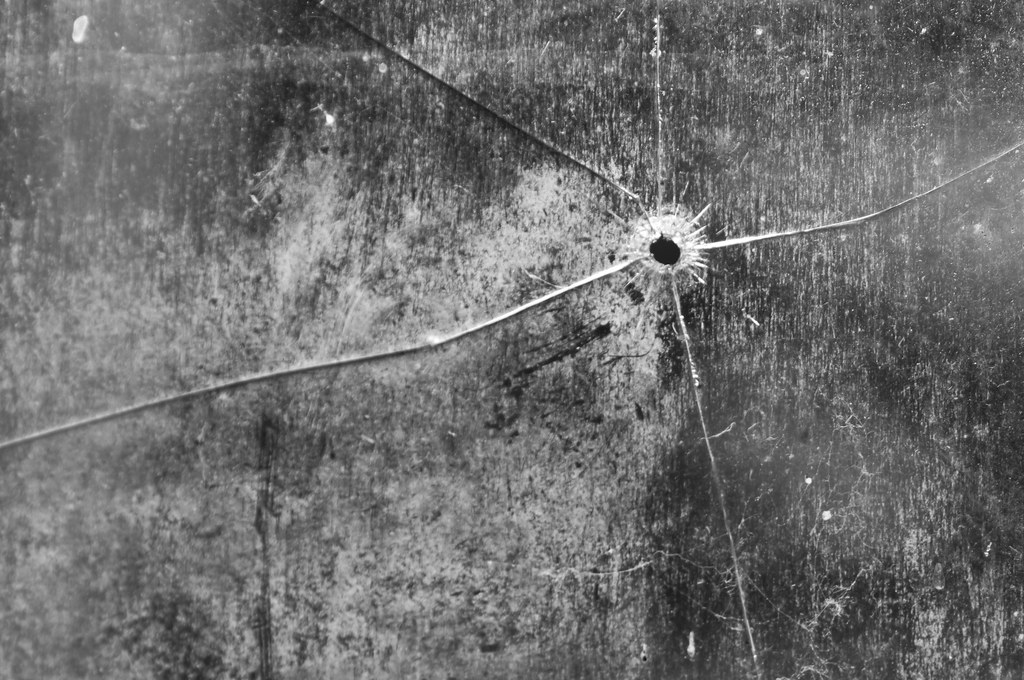
Glass pain
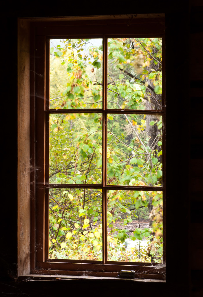
Window to the past
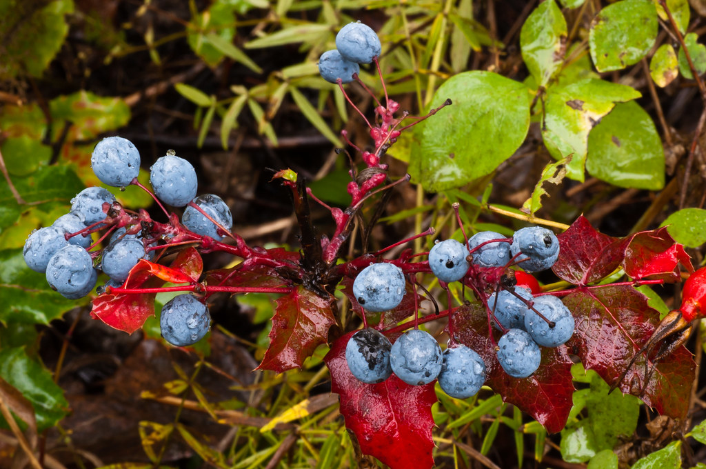
Blue Berry Red Leaf
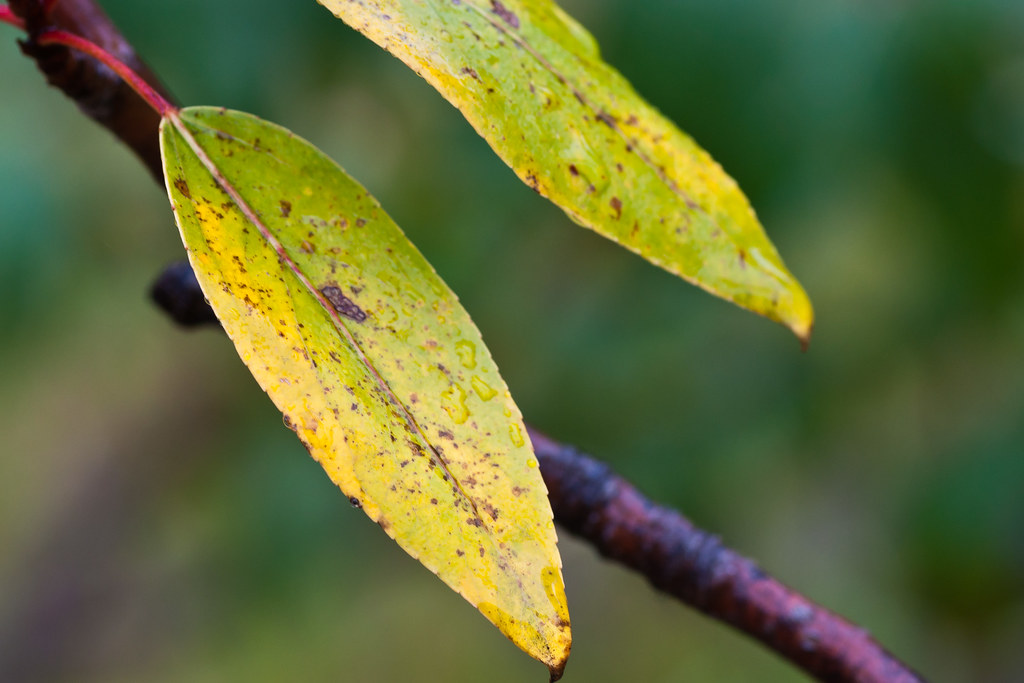
Autumn Leaf
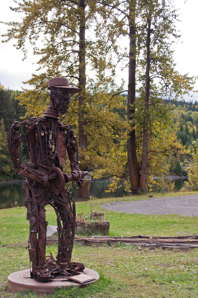
Steel Man

Mount Polley Mine_Panorama3t
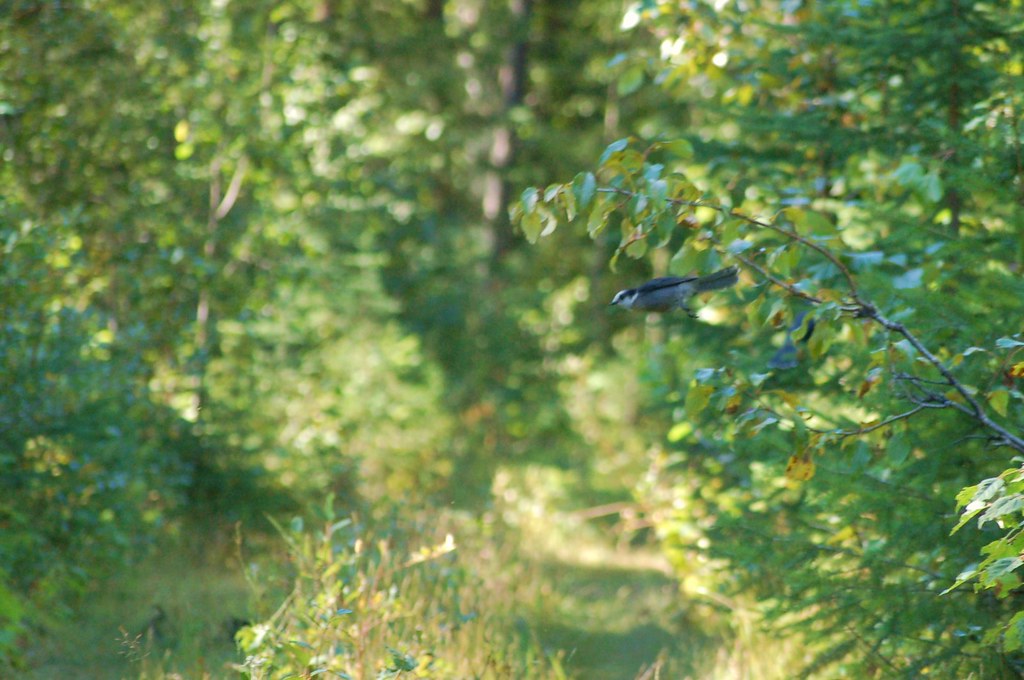
Gray Jay

Ghost Town of Quesnelle Forks

Miss the Museum? Not Likely!!
Topographic Map of Quesnel Forks, BC V0K, Canada
Find elevation by address:

Places near Quesnel Forks, BC V0K, Canada:
Quesnel River Road
Valley General Store
Rosette Lake Road
Likely
Keithley Creek
Big Lake Ranch
Big Lake
Cave Road
Likely Road
Bells Lake Road
Horsefly
Wells
Front St, Cariboo C, BC V0K, Canada
Barkerville
Roundtop Mountain
Reduction Rd, Barkerville, BC V0K 1B0, Canada
Wells
Lowhee Dr, Wells, BC V0K 2R0, Canada
Beaver Pass House
1245 Scheffler Rd
Recent Searches:
- Elevation of Corso Fratelli Cairoli, 35, Macerata MC, Italy
- Elevation of Tallevast Rd, Sarasota, FL, USA
- Elevation of 4th St E, Sonoma, CA, USA
- Elevation of Black Hollow Rd, Pennsdale, PA, USA
- Elevation of Oakland Ave, Williamsport, PA, USA
- Elevation of Pedrógão Grande, Portugal
- Elevation of Klee Dr, Martinsburg, WV, USA
- Elevation of Via Roma, Pieranica CR, Italy
- Elevation of Tavkvetili Mountain, Georgia
- Elevation of Hartfords Bluff Cir, Mt Pleasant, SC, USA