Elevation of Front St, Cariboo C, BC V0K, Canada
Location: Canada > British Columbia > Cariboo > Cariboo C > Barkerville >
Longitude: -121.51415
Latitude: 53.0694973
Elevation: 1278m / 4193feet
Barometric Pressure: 87KPa
Elevation Map:
Satellite Map:
Related Photos:

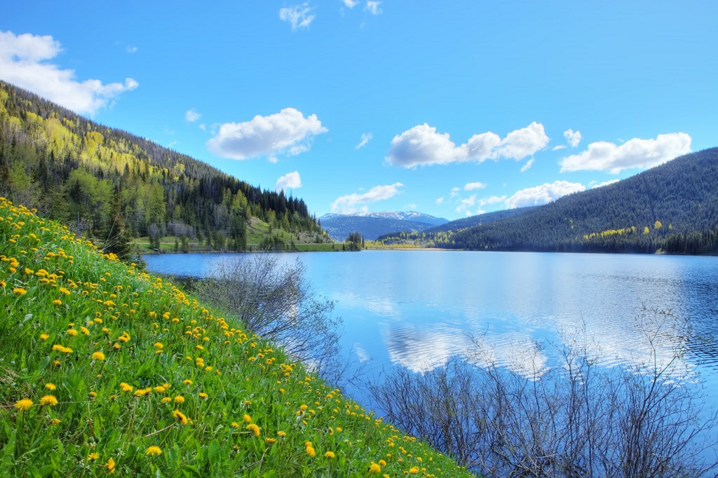
Bowron Lake

An exciting time in Historic Barkerville

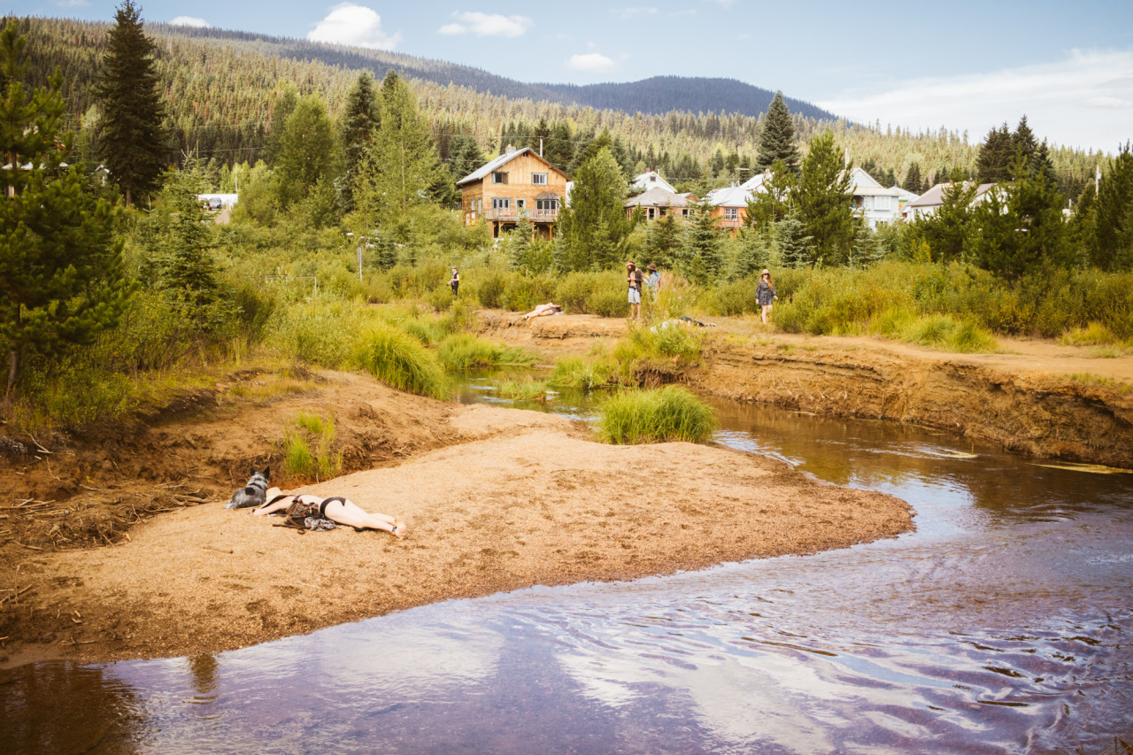
A Brisk Awakening at Bowron Lake Provincial Park
Jack of Clubs Lake

3100 Road_20130814_175

nelsonmouellic.tumblr.com / @nelsonmouellic

A Brisk Awakening at Bowron Lake Provincial Park

3100 Road_20130814_164

Island Mountain Arts Welcomes Us to Wells
nelsonmouellic.tumblr.com / @nelsonmouellic

20150816-074
20150816-055
Topographic Map of Front St, Cariboo C, BC V0K, Canada
Find elevation by address:

Places near Front St, Cariboo C, BC V0K, Canada:
Barkerville
Reduction Rd, Barkerville, BC V0K 1B0, Canada
Lowhee Dr, Wells, BC V0K 2R0, Canada
Wells
Wells
Two Sisters Mountain
Roundtop Mountain
Mount Tinsdale
Keithley Creek
Beaver Pass House
Cariboo C
Quesnel Forks
Likely
Rosette Lake Road
Quesnel River Road
Valley General Store
Kaza Mountain
Mount Faulkner
Mount Cochran
Bowron Lake Provincial Park
Recent Searches:
- Elevation of Corso Fratelli Cairoli, 35, Macerata MC, Italy
- Elevation of Tallevast Rd, Sarasota, FL, USA
- Elevation of 4th St E, Sonoma, CA, USA
- Elevation of Black Hollow Rd, Pennsdale, PA, USA
- Elevation of Oakland Ave, Williamsport, PA, USA
- Elevation of Pedrógão Grande, Portugal
- Elevation of Klee Dr, Martinsburg, WV, USA
- Elevation of Via Roma, Pieranica CR, Italy
- Elevation of Tavkvetili Mountain, Georgia
- Elevation of Hartfords Bluff Cir, Mt Pleasant, SC, USA