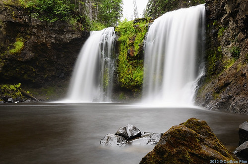
Elevation of Horsefly, BC V0K, Canada
Location: Canada > British Columbia > Cariboo > Cariboo F >
Longitude: -121.41720
Latitude: 52.33273
Elevation: 781m / 2562feet
Barometric Pressure: 92KPa
Related Photos:
Topographic Map of Horsefly, BC V0K, Canada
Find elevation by address:

Places in Horsefly, BC V0K, Canada:
Places near Horsefly, BC V0K, Canada:
Cave Road
Bells Lake Road
Cariboo F
Likely
Rosette Lake Road
Valley General Store
Quesnel River Road
3750 Paradise Dr
1245 Scheffler Rd
Black Creek Road
Quesnel Forks
Big Lake
Keithley Creek
Likely Road
Big Lake Ranch
Horsefly Road
3283 Brouse Rd
3222 Horsefly Rd
3220 Evergreen Pl
150 Mile House
Recent Searches:
- Elevation of Corso Fratelli Cairoli, 35, Macerata MC, Italy
- Elevation of Tallevast Rd, Sarasota, FL, USA
- Elevation of 4th St E, Sonoma, CA, USA
- Elevation of Black Hollow Rd, Pennsdale, PA, USA
- Elevation of Oakland Ave, Williamsport, PA, USA
- Elevation of Pedrógão Grande, Portugal
- Elevation of Klee Dr, Martinsburg, WV, USA
- Elevation of Via Roma, Pieranica CR, Italy
- Elevation of Tavkvetili Mountain, Georgia
- Elevation of Hartfords Bluff Cir, Mt Pleasant, SC, USA


