Elevation of Bouchie Lake, BC V2J 7G6, Canada
Location: Canada > British Columbia > Cariboo > Cariboo B >
Longitude: -122.60488
Latitude: 53.021917
Elevation: 715m / 2346feet
Barometric Pressure: 93KPa
Elevation Map:
Satellite Map:
Related Photos:

Hiking to the Hoodoos in Quesnel’s Pinnacles Provincial Park

Northern Lights Lodge
So Composed
Dragon Lake, BC
North To Alaska set001 20060801_028.jpg
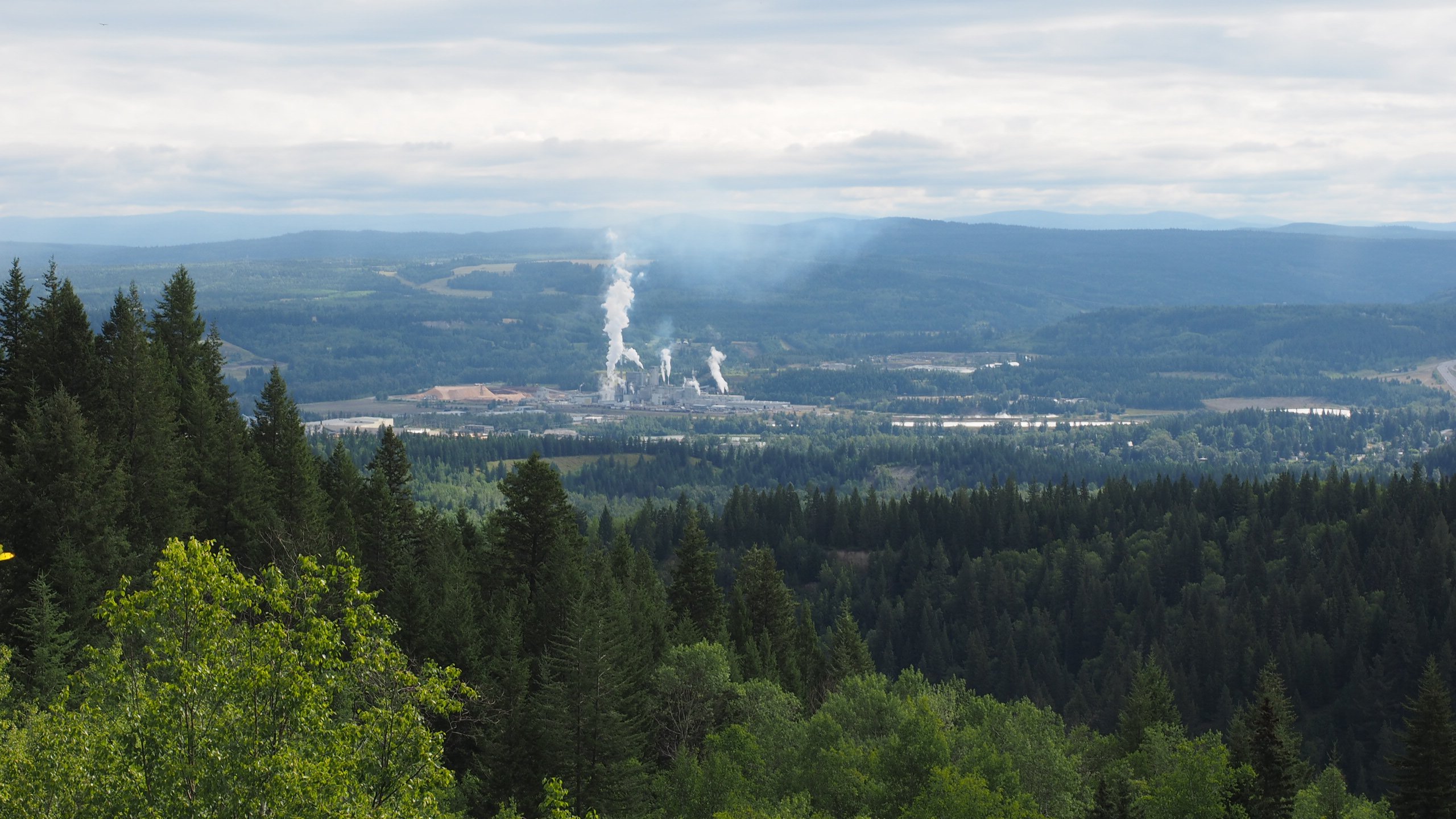
Quesnel - 229/365
Lensflare!
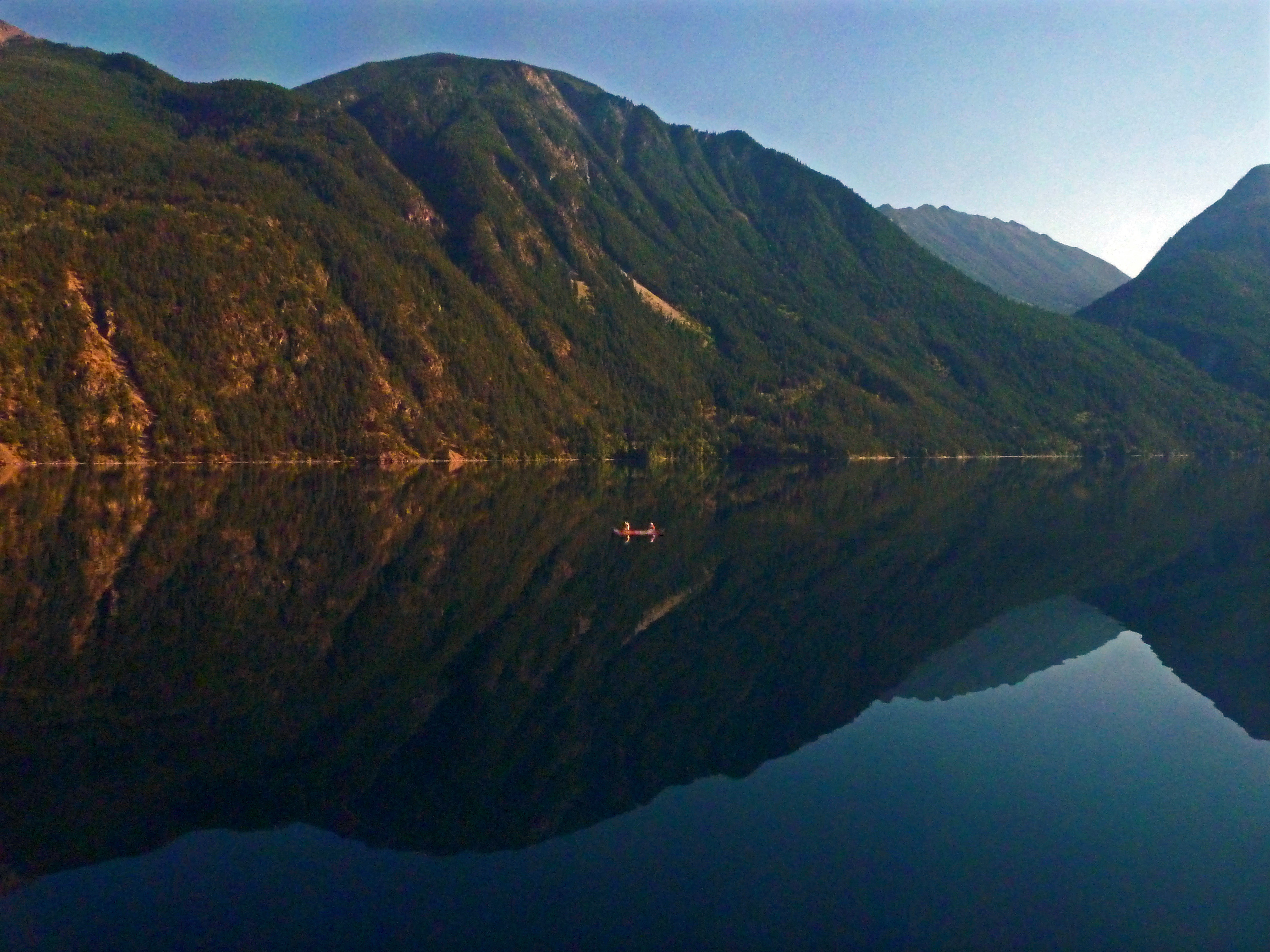
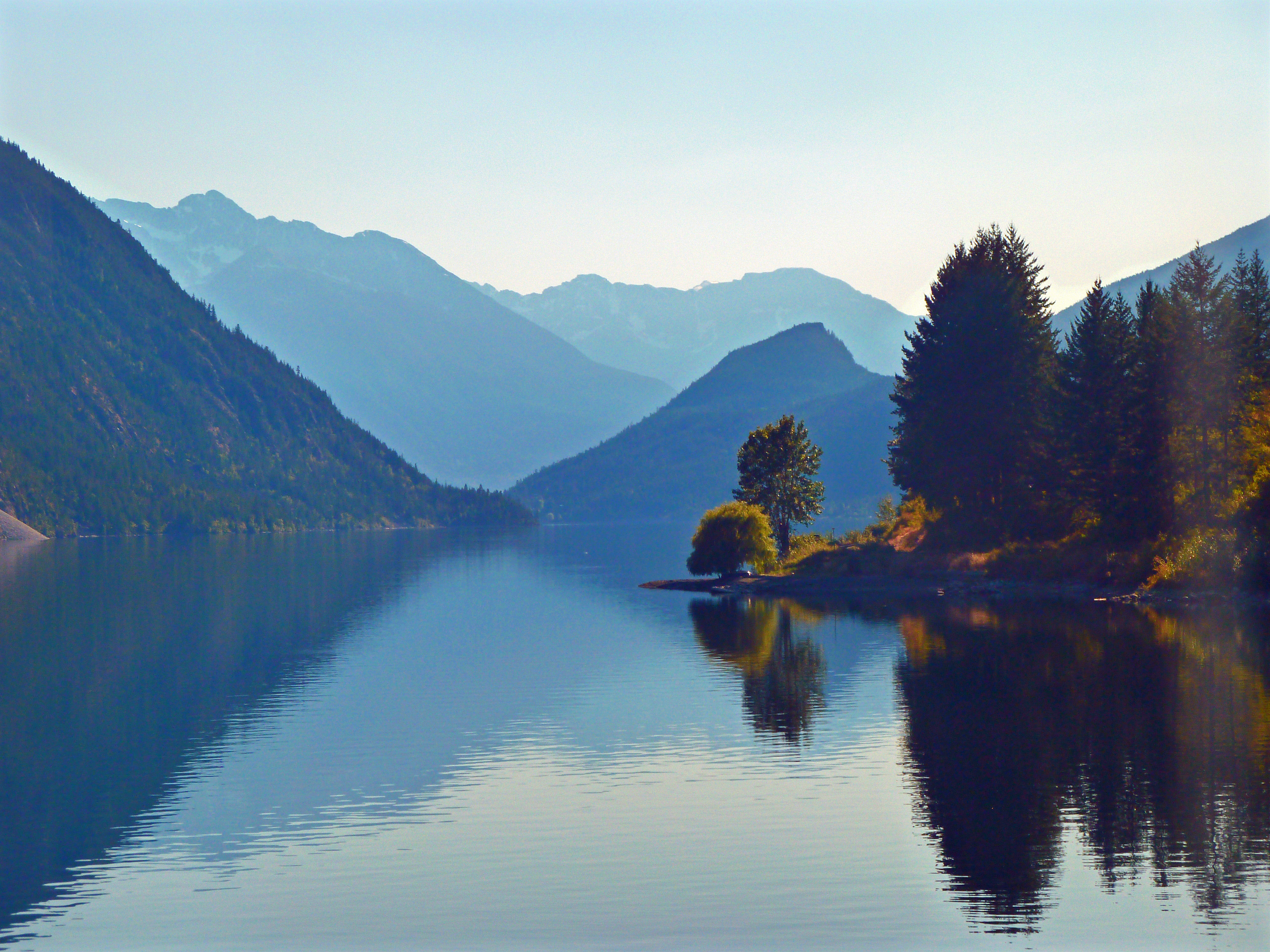
Canoe on the Lake
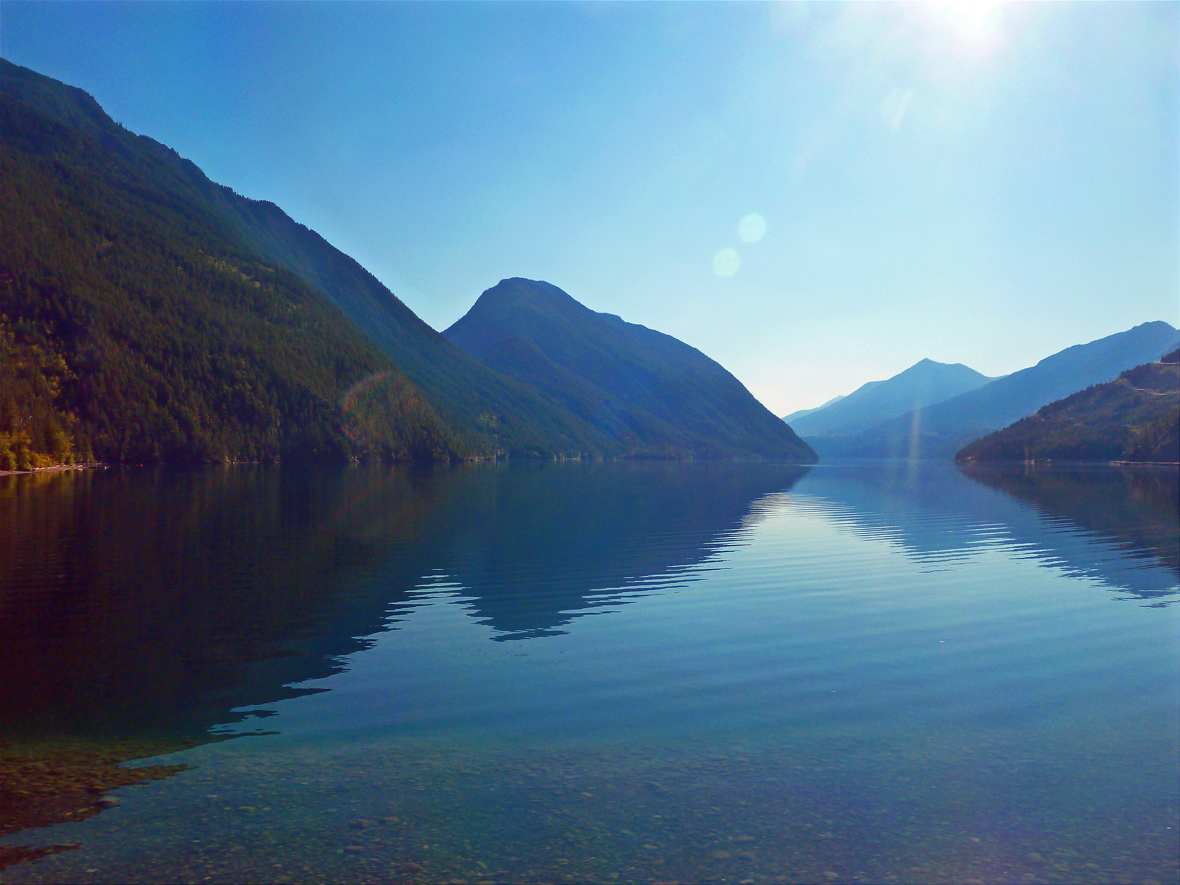
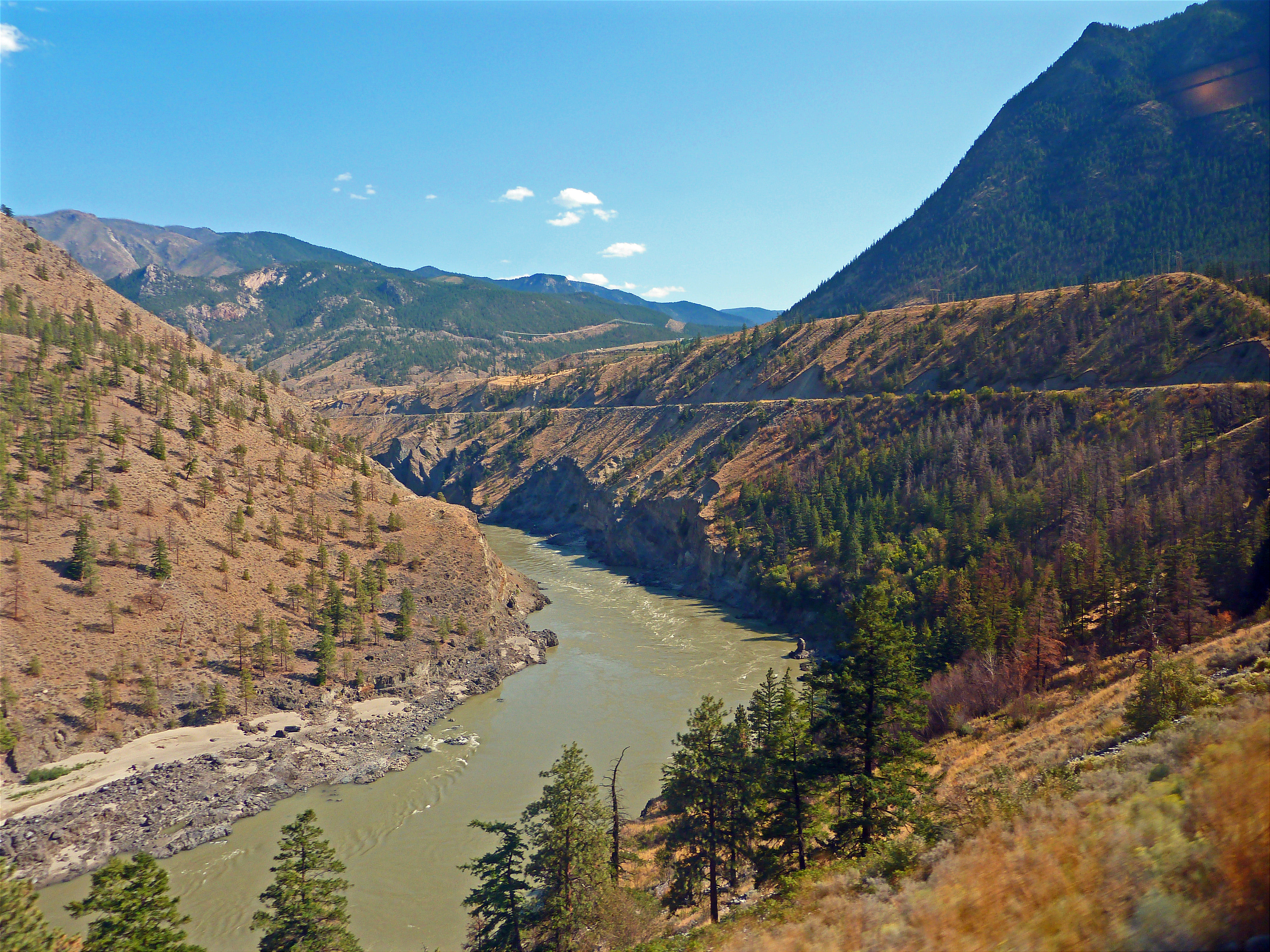
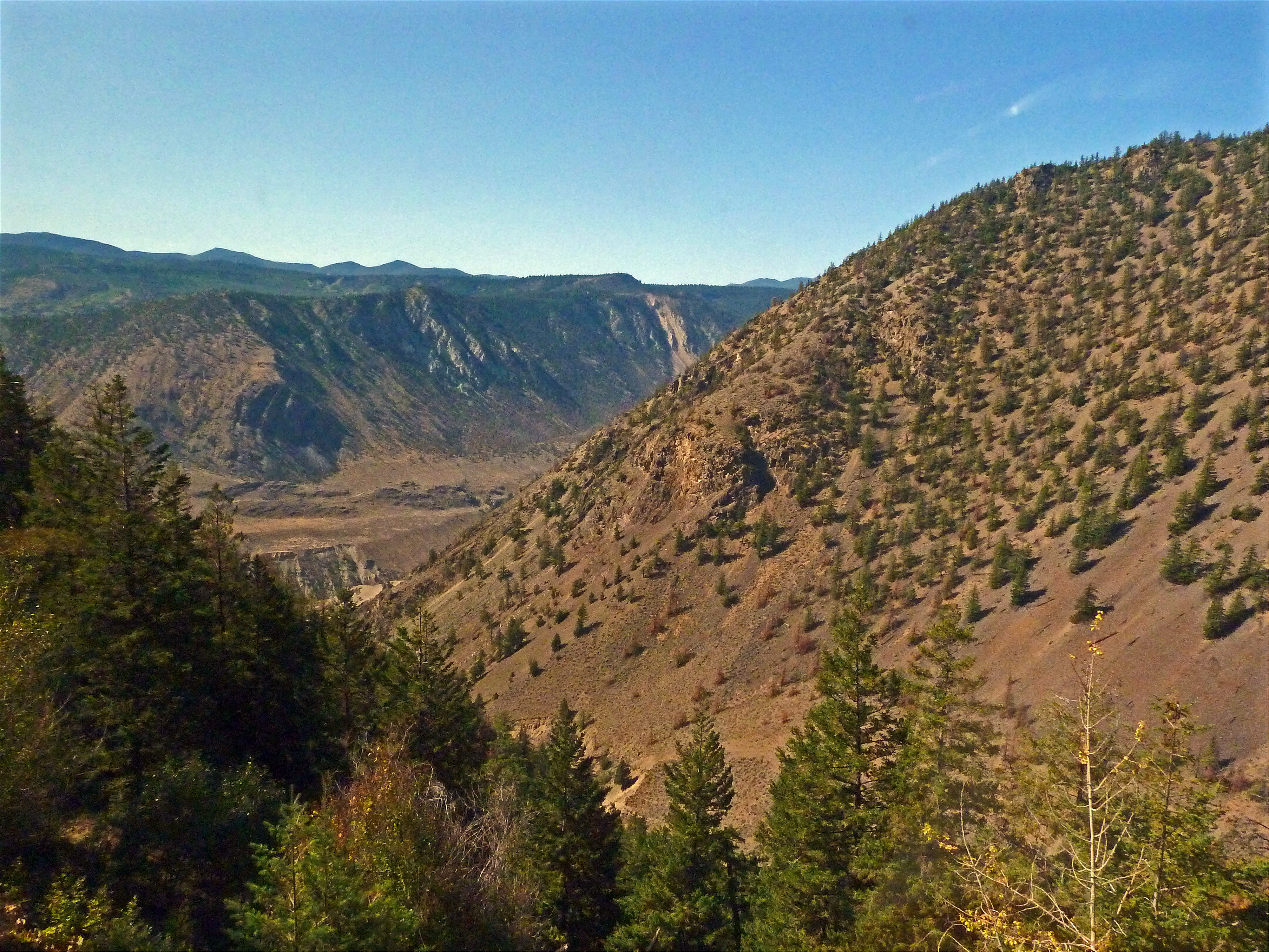
Looking down between the hills.
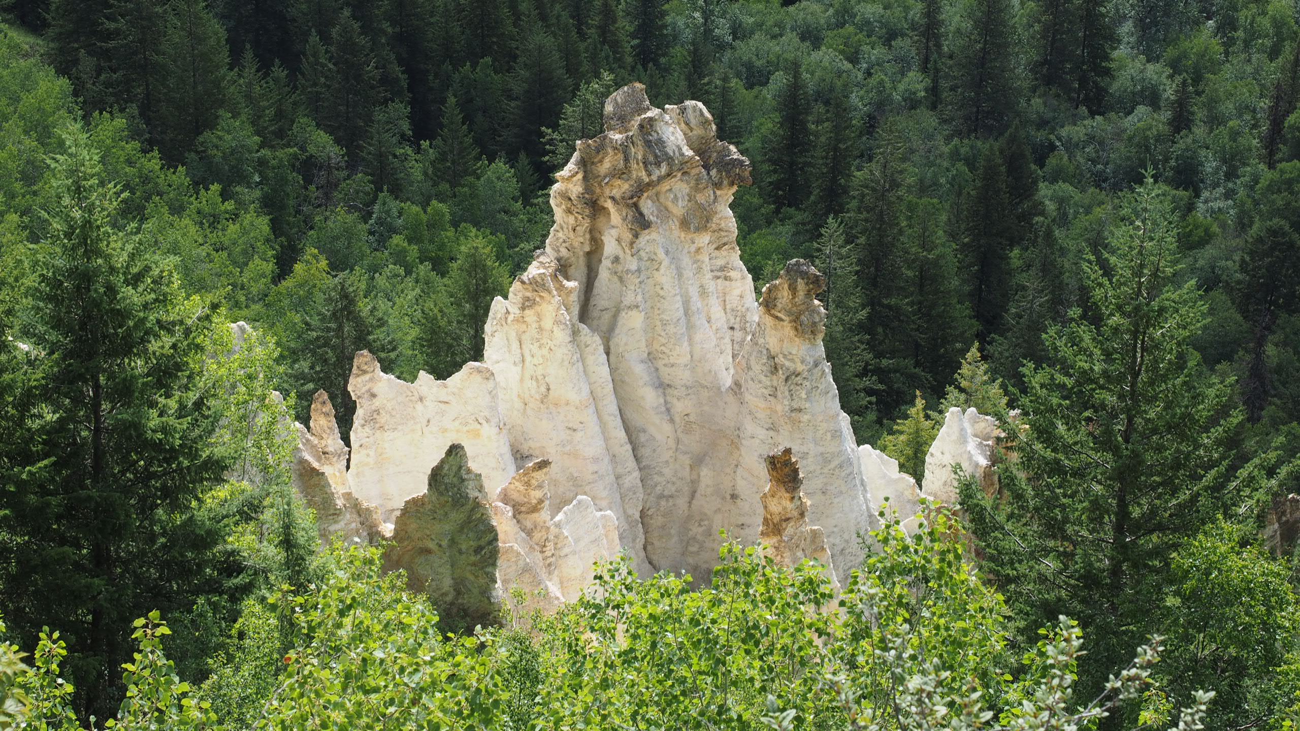
Pinnacle Provincial Park
Approaching the bend
Long curve

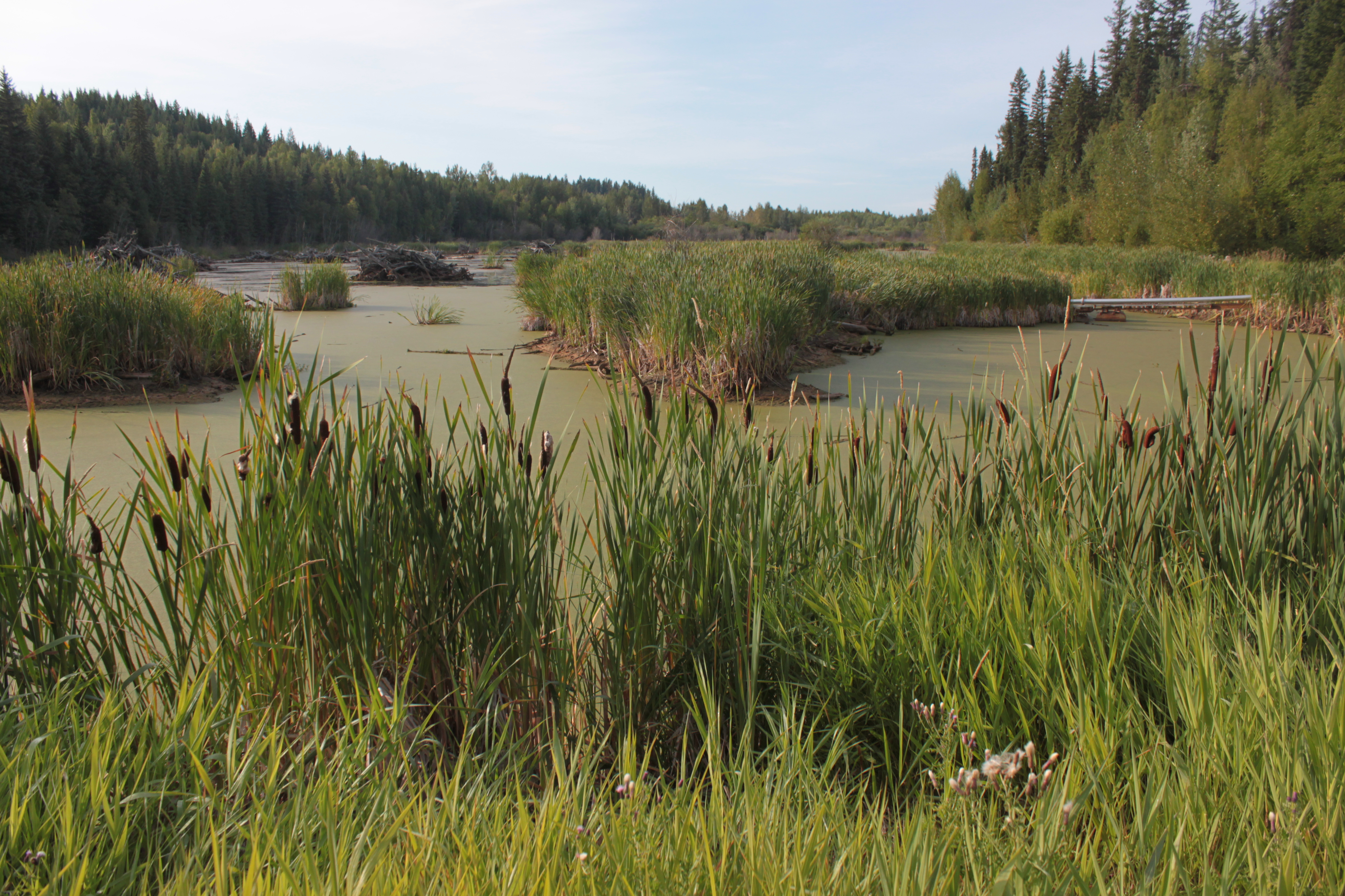
Ten Mile Lake
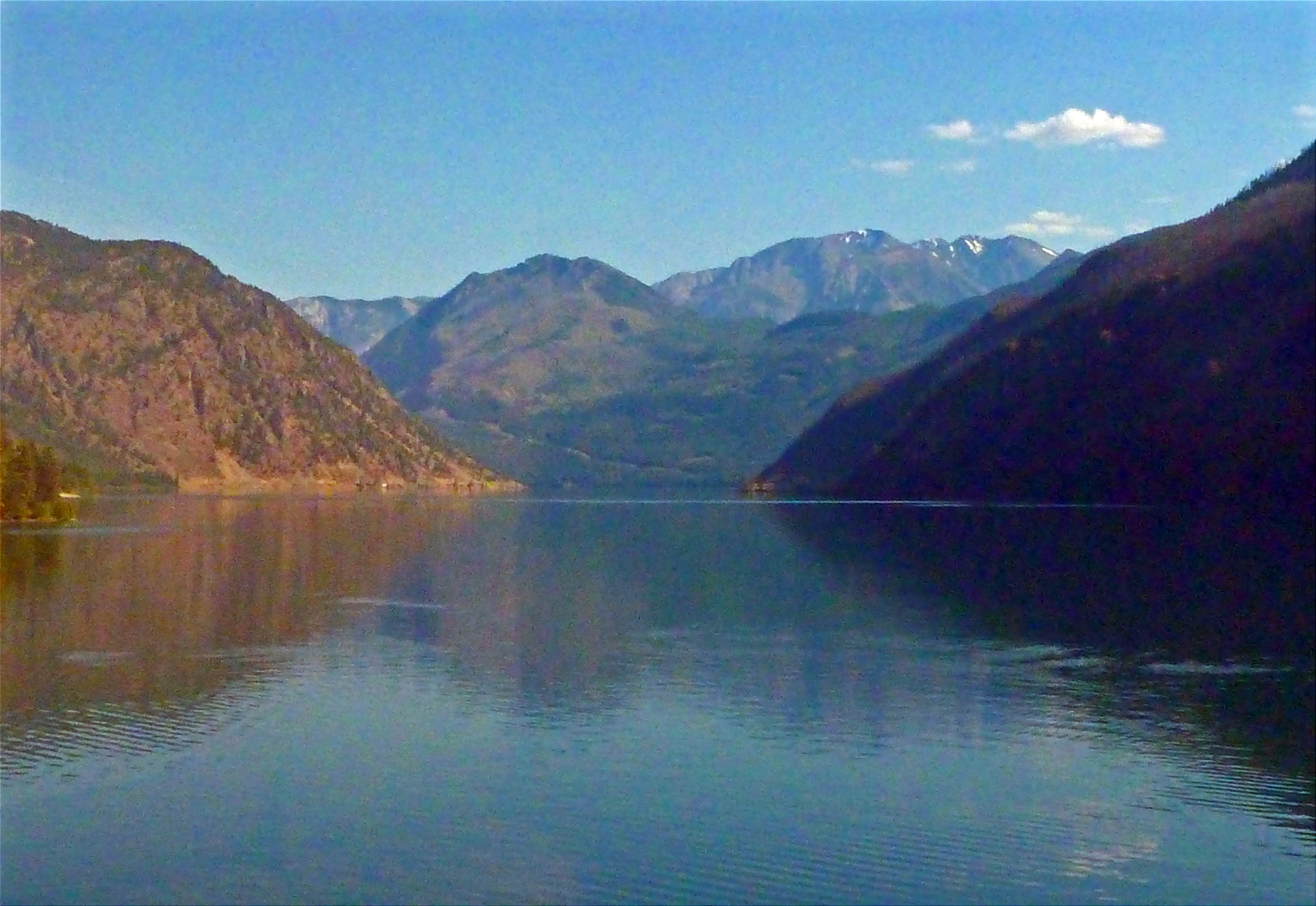
Big lake..
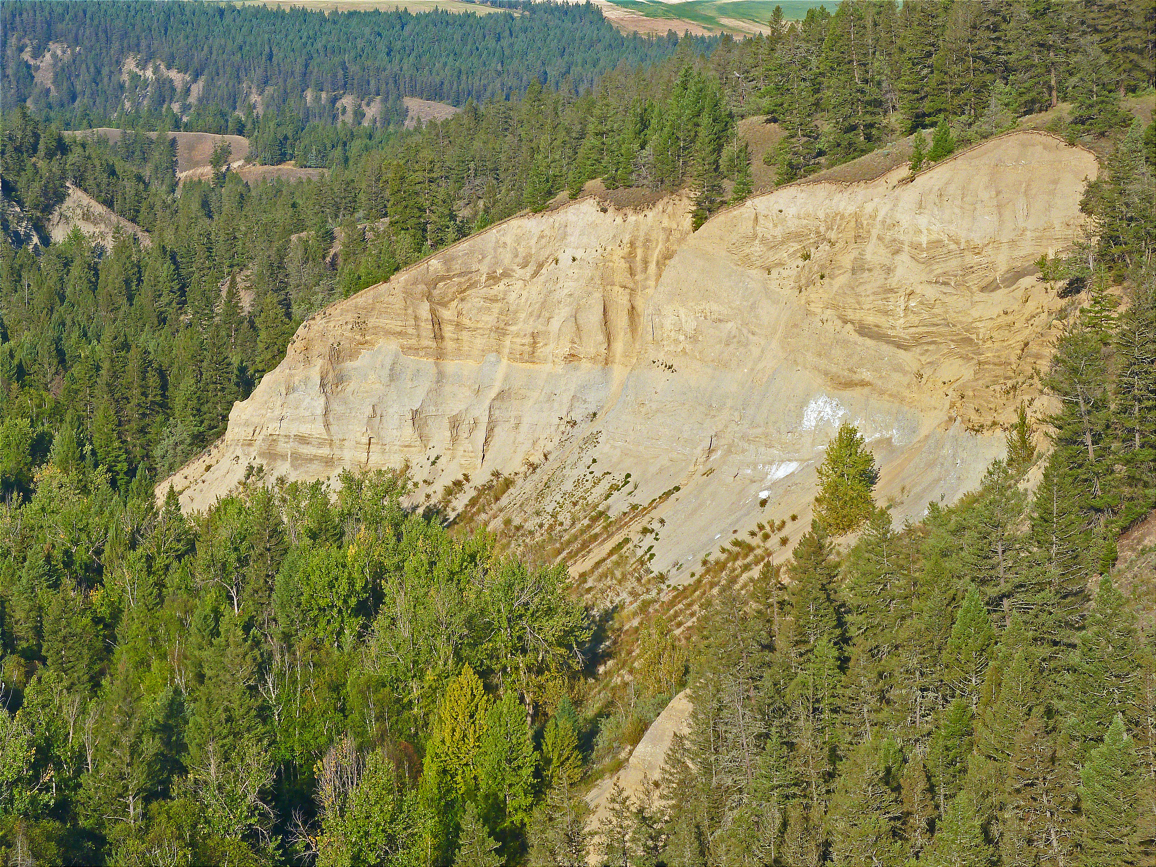
Stripey Rockface
Trees on the spur..
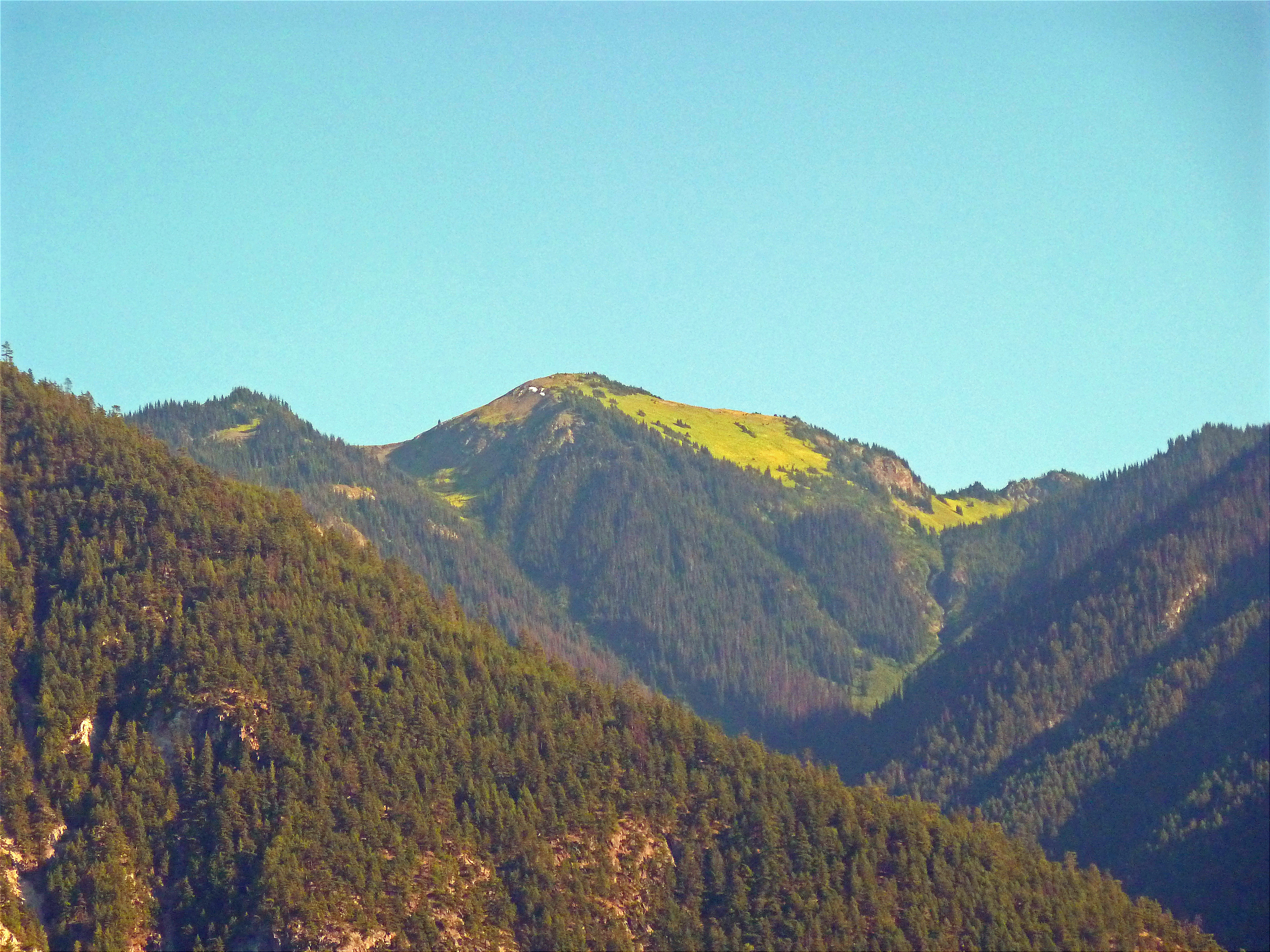
Green top of the mountain
Long Curve
Pinnacle Provincial Park
Looking back down the long curve
20150817-009
20150817-008
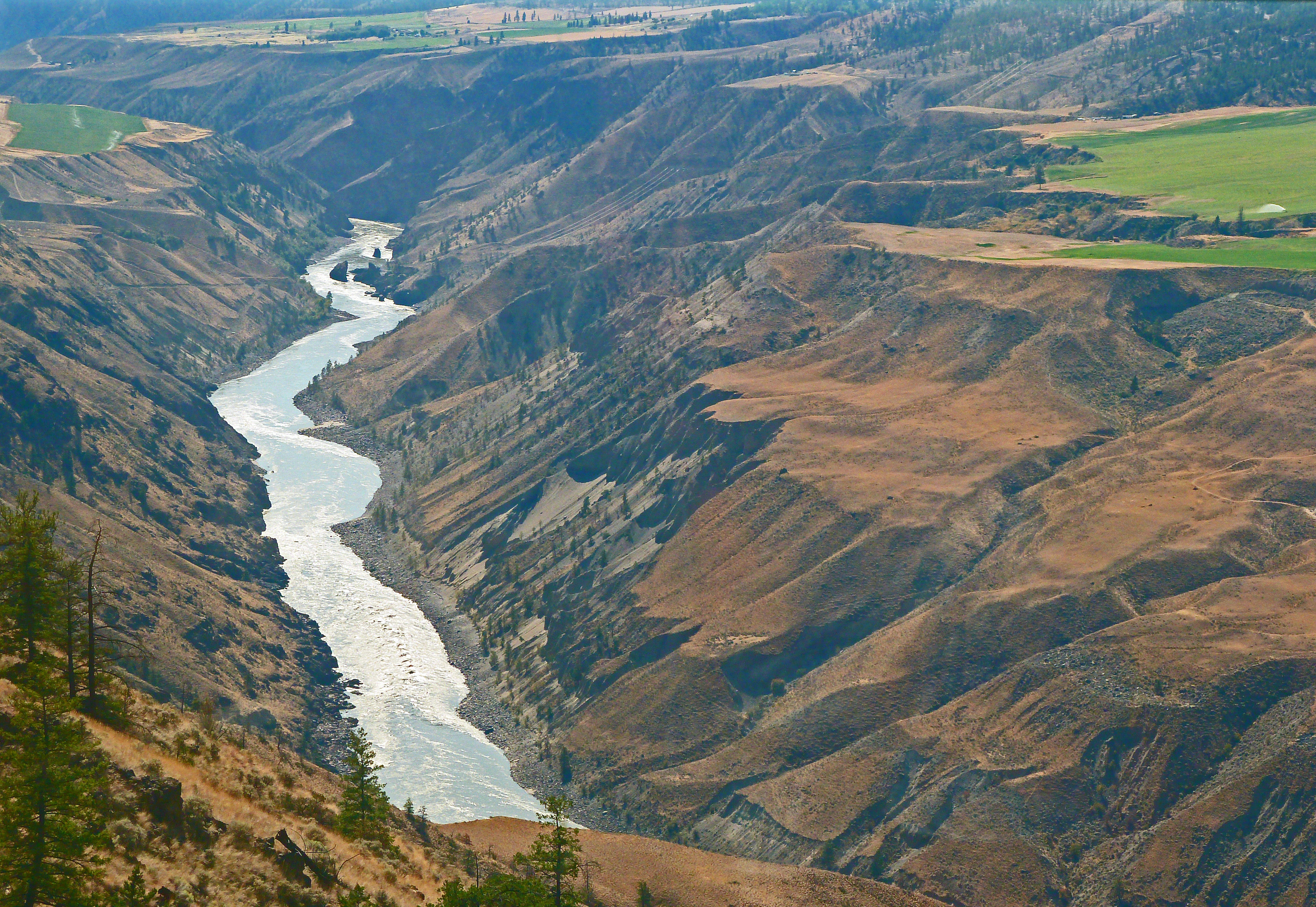
River with crops..
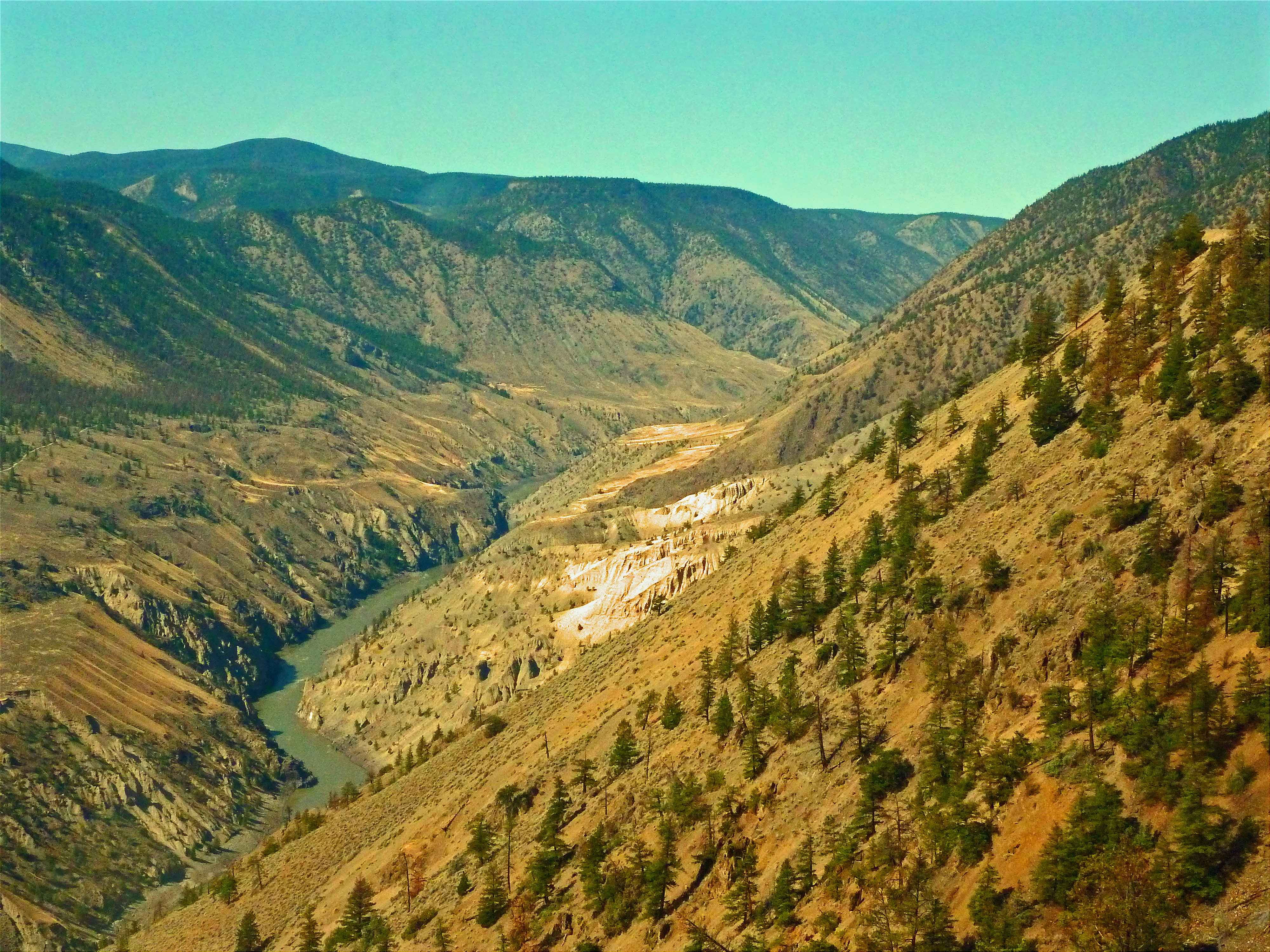
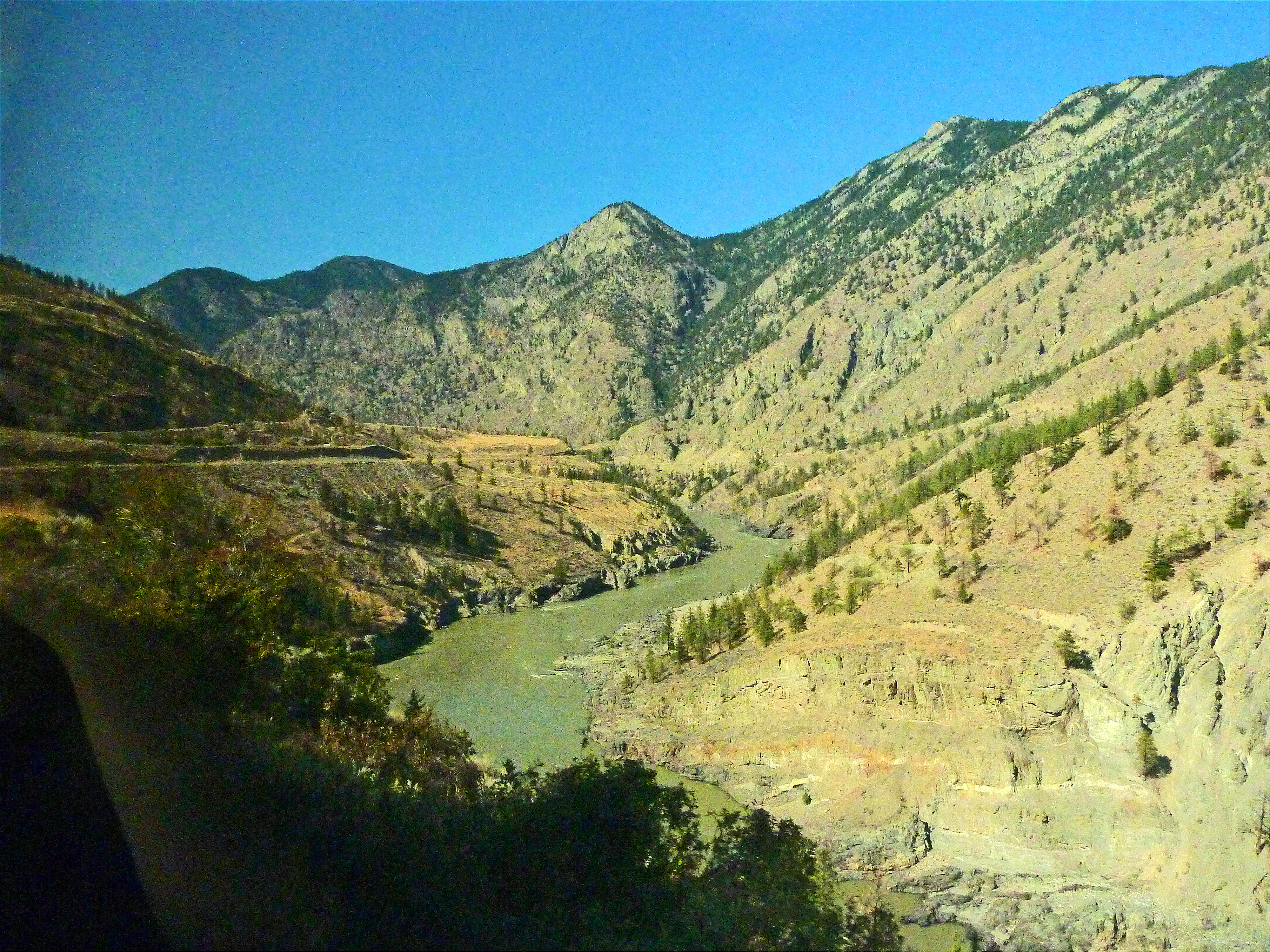
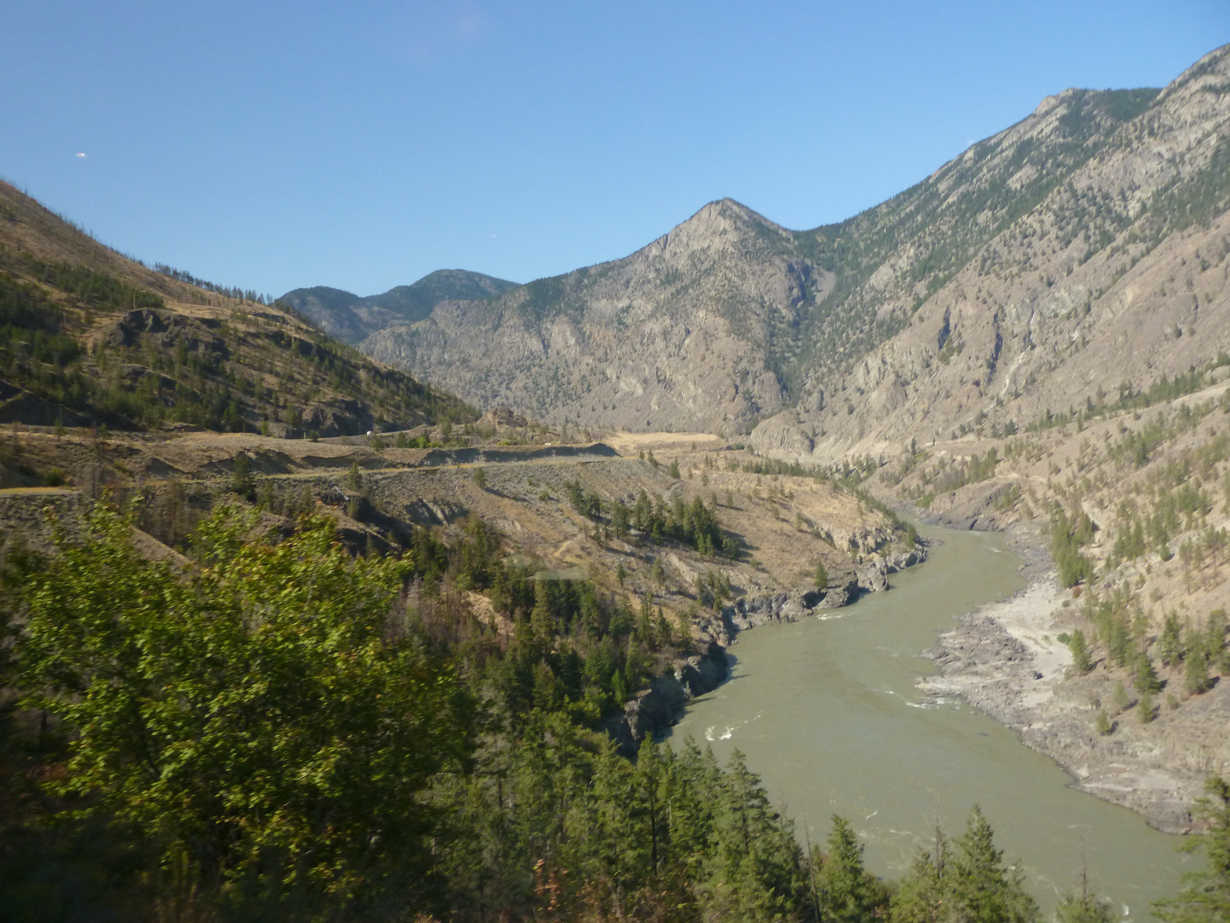
Entering the canyon
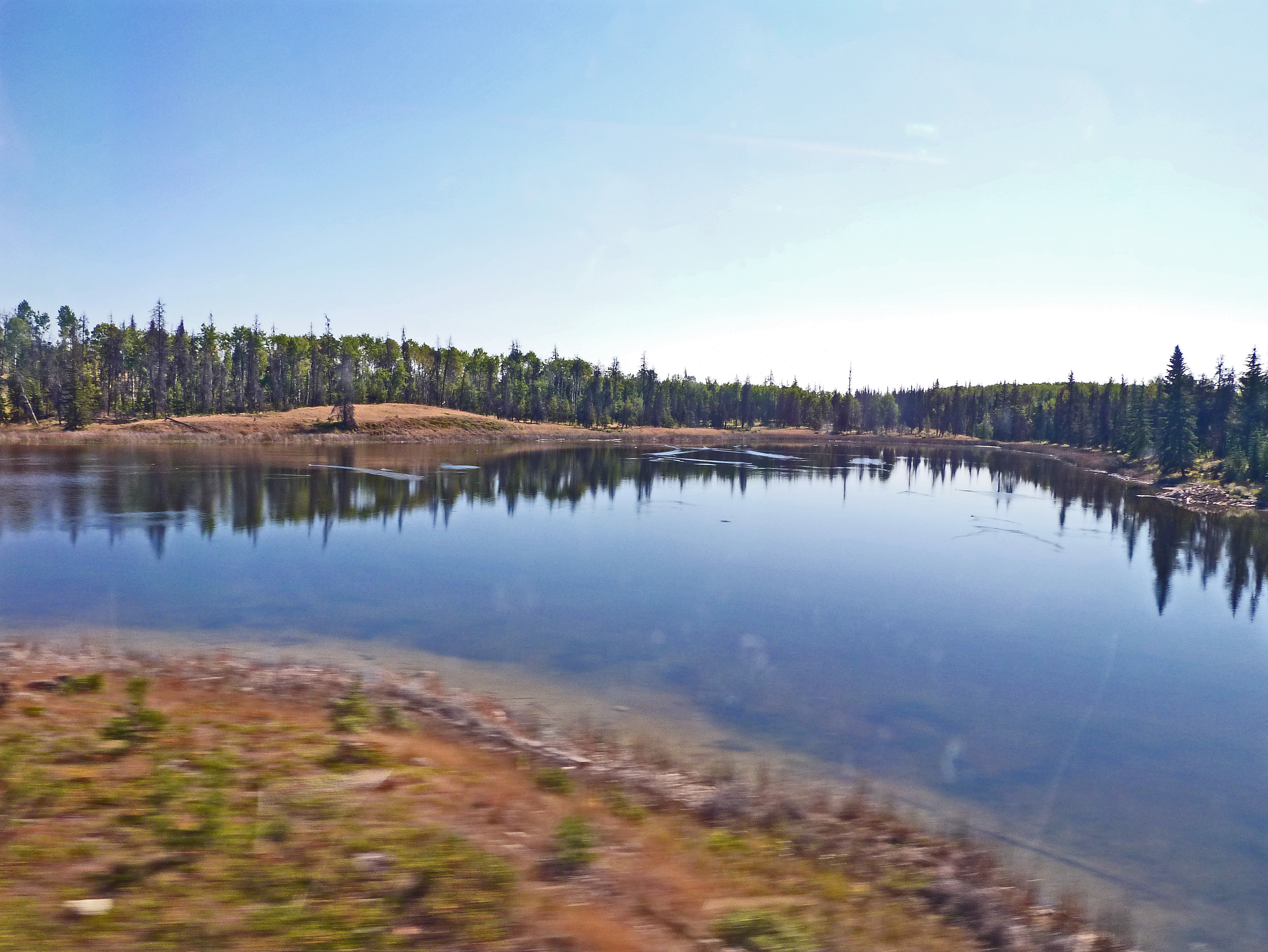
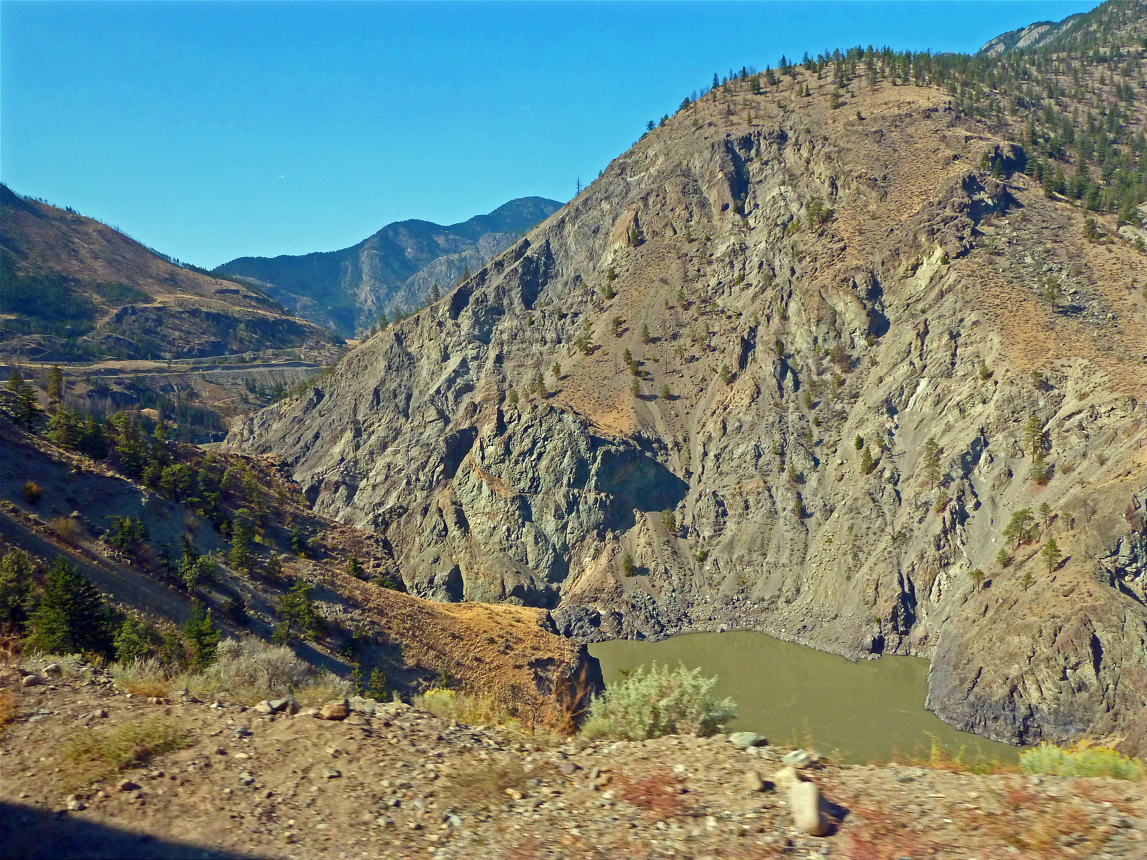
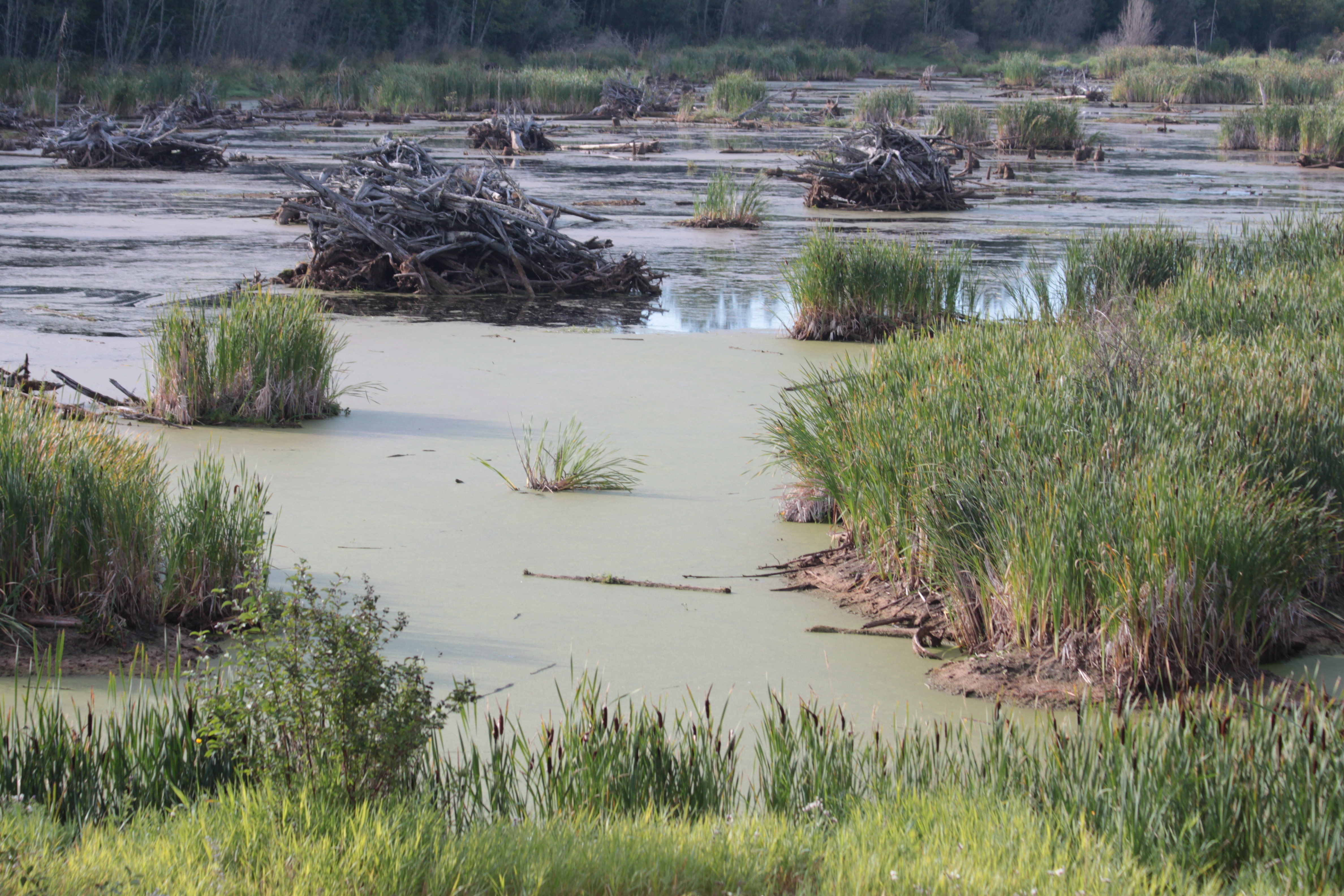
Rainwater lake
Topographic Map of Bouchie Lake, BC V2J 7G6, Canada
Find elevation by address:

Places near Bouchie Lake, BC V2J 7G6, Canada:
938 Stubbington Rd
1149 Marsh Rd
580 Dixon St
1702 Dyke Rd
1702 Dyke Rd Unit 114
Healy Street
Purmal St, Quesnel, BC V2J 4T3, Canada
Quesnel View
Quesnel
721 Destiny Dr
1471 W Fraser Rd
Red Bluff
Maple Dr, Quesnel, BC V2J 4A2, Canada
1785 Birch Ave
2001 Feldspar Ave
2437 Dragon View Pl
Big Ben Road
Big Ben Road
Matthews Rd, Quesnel, BC V2J 6V4, Canada
Recent Searches:
- Elevation of Corso Fratelli Cairoli, 35, Macerata MC, Italy
- Elevation of Tallevast Rd, Sarasota, FL, USA
- Elevation of 4th St E, Sonoma, CA, USA
- Elevation of Black Hollow Rd, Pennsdale, PA, USA
- Elevation of Oakland Ave, Williamsport, PA, USA
- Elevation of Pedrógão Grande, Portugal
- Elevation of Klee Dr, Martinsburg, WV, USA
- Elevation of Via Roma, Pieranica CR, Italy
- Elevation of Tavkvetili Mountain, Georgia
- Elevation of Hartfords Bluff Cir, Mt Pleasant, SC, USA