Elevation of Yakima Valley Hwy, Zillah, WA, USA
Location: United States > Washington > Yakima County > Zillah >
Longitude: -120.26651
Latitude: 46.418691
Elevation: 265m / 869feet
Barometric Pressure: 98KPa
Elevation Map:
Satellite Map:
Related Photos:
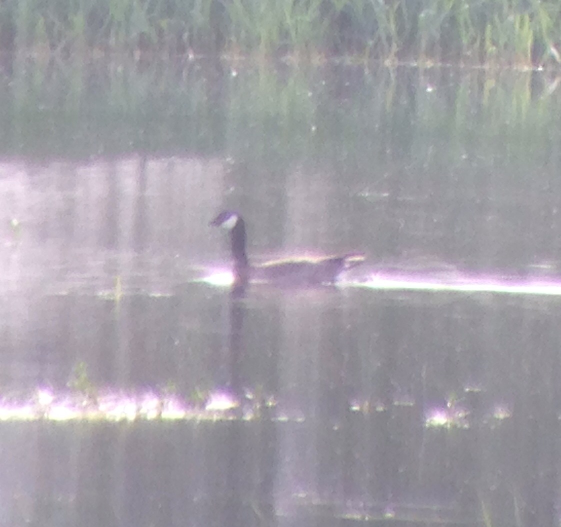
Cackling Goose
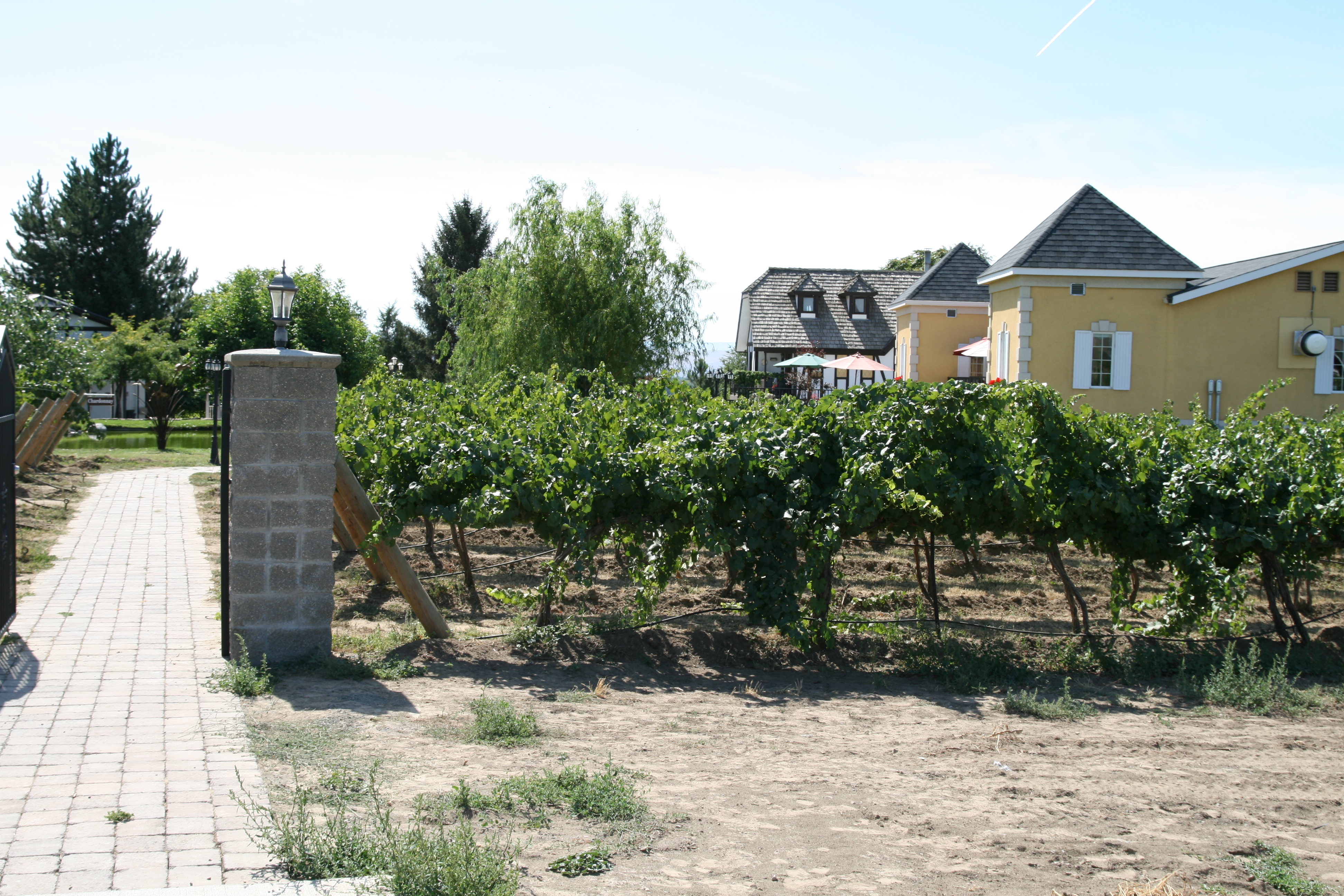
Bonair Winery

Planet :b

Western Tanager
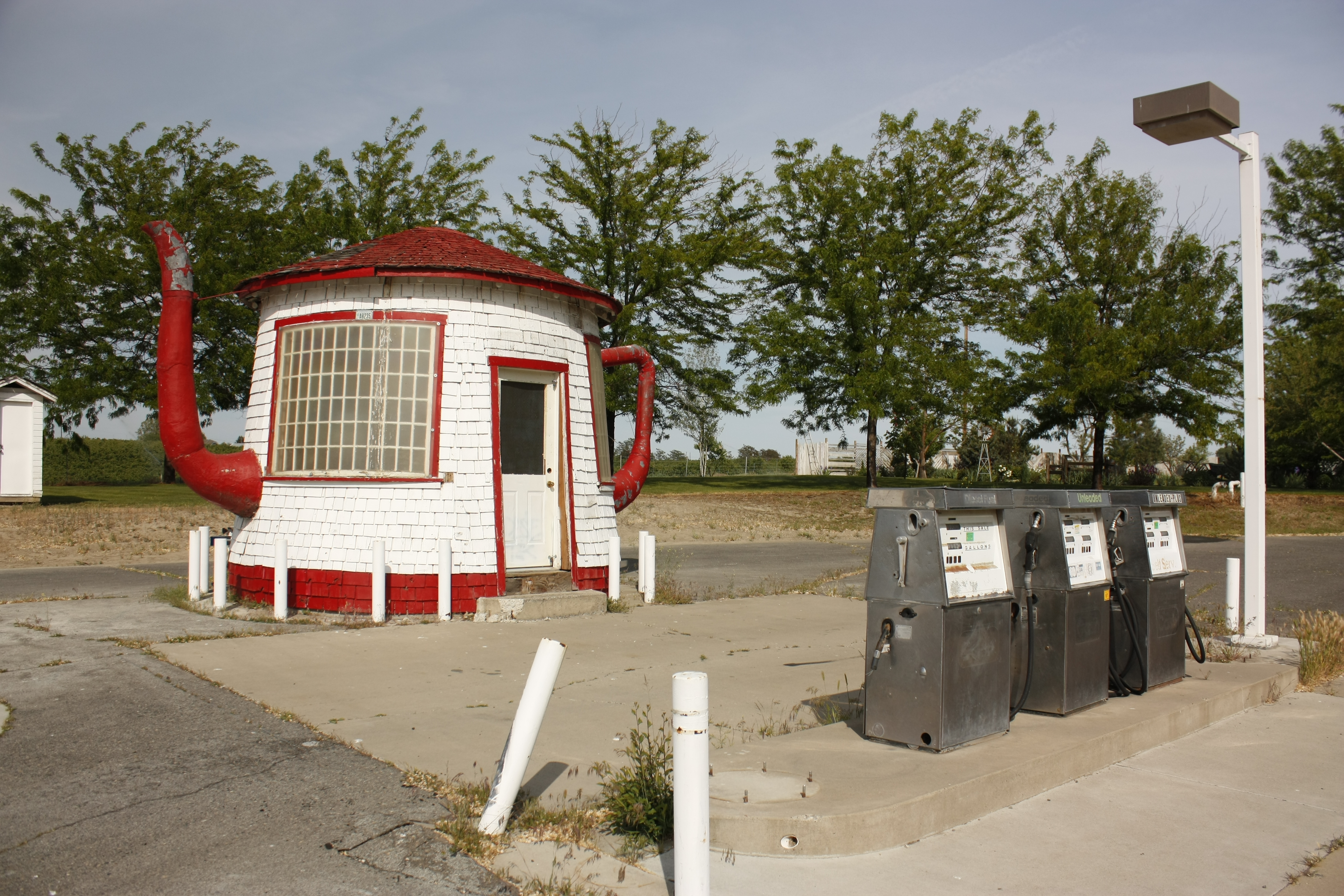
The Teapot Dome Gas Station

Toppenish Ridge

"Minima" Cackling Goose
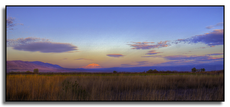
Pohto at Sunrise

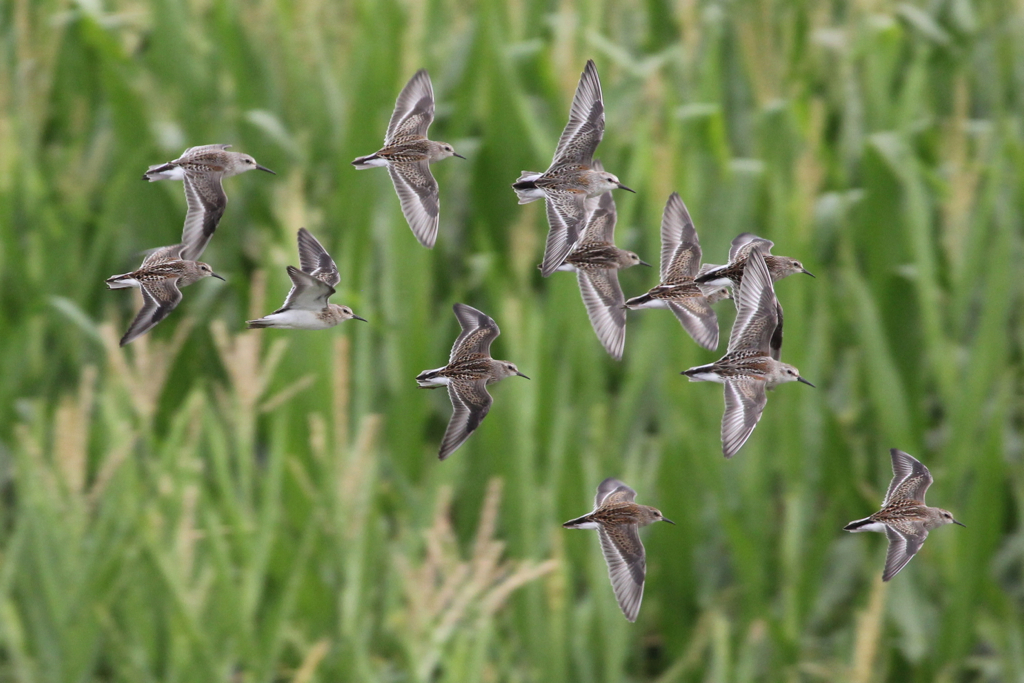
Two Least Sandpipers
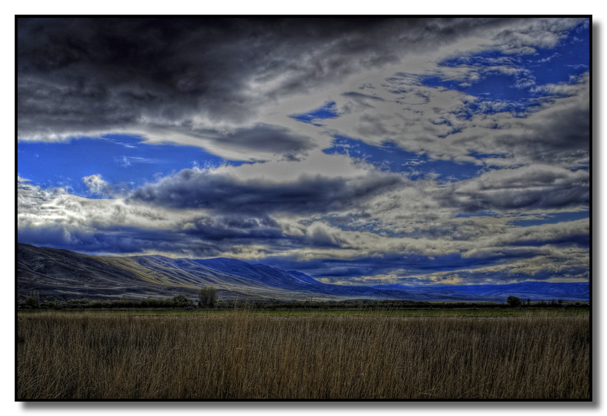
Toppenish Ridge

Snow Goose
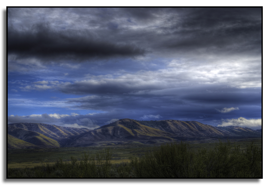
Toppenish Ridge

Four Greater Yellowlegs and a Killdeer for size comparison

Least Sandpiper and Greater Yellowlegs

Least Sandpiper

Least Sandpiper

Yakima Moonrise

Greater Yellowlegs

Yakima Valley Split Screen

House Wren
New view
Eastern Washington

Pond reflections

One of a kind

CBRW 2184 West
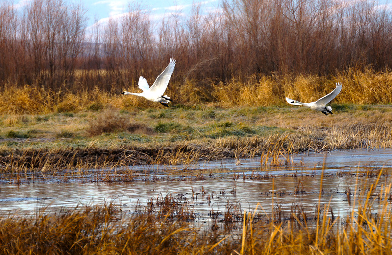
Double Swan

Portteus Vineyard and Winery Sunnyside WA

Hole in the ice
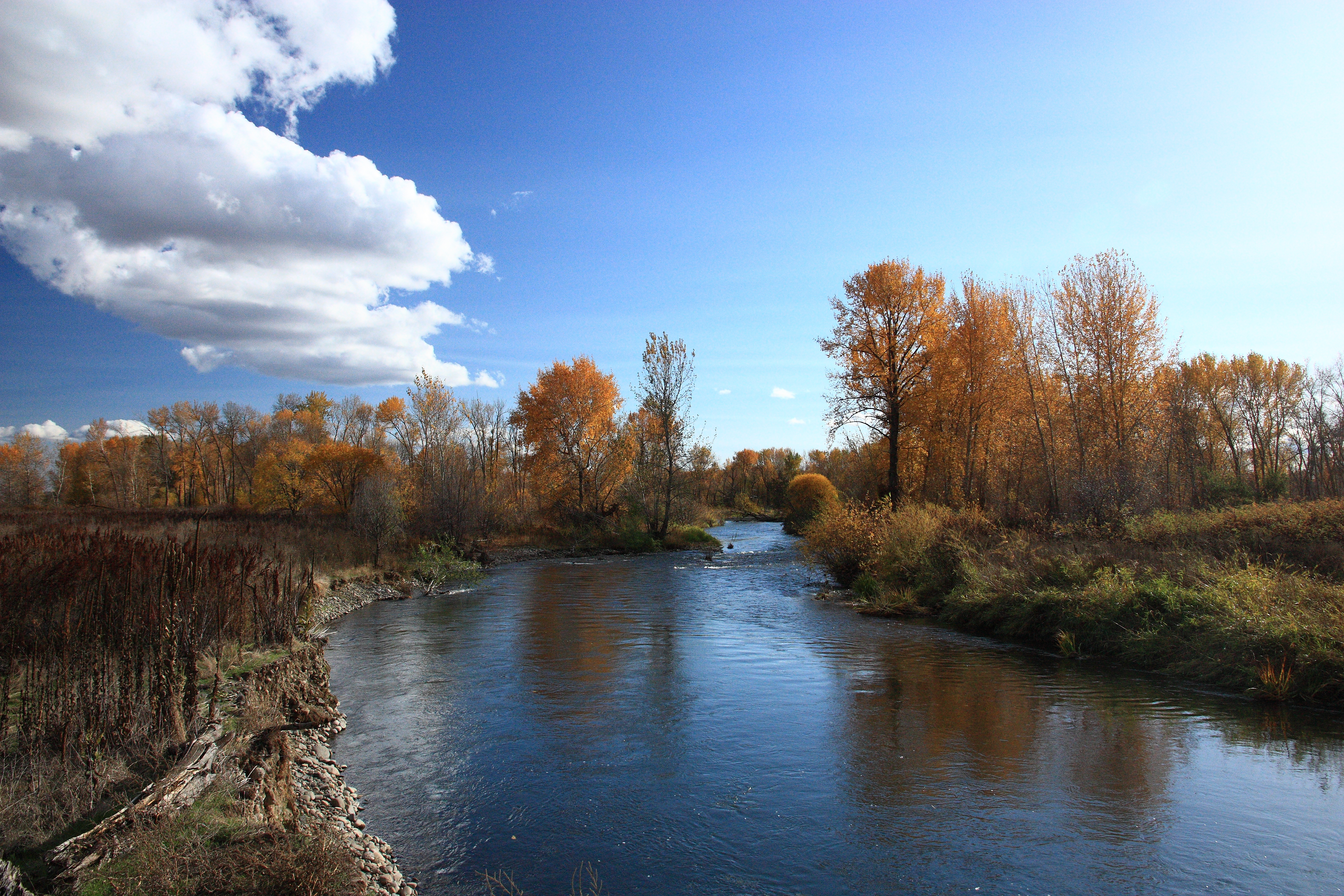
Yakima River

A Granger sunset
Yakima - 2
Silver Lake Vineyards

Many-Layered Dinosaur
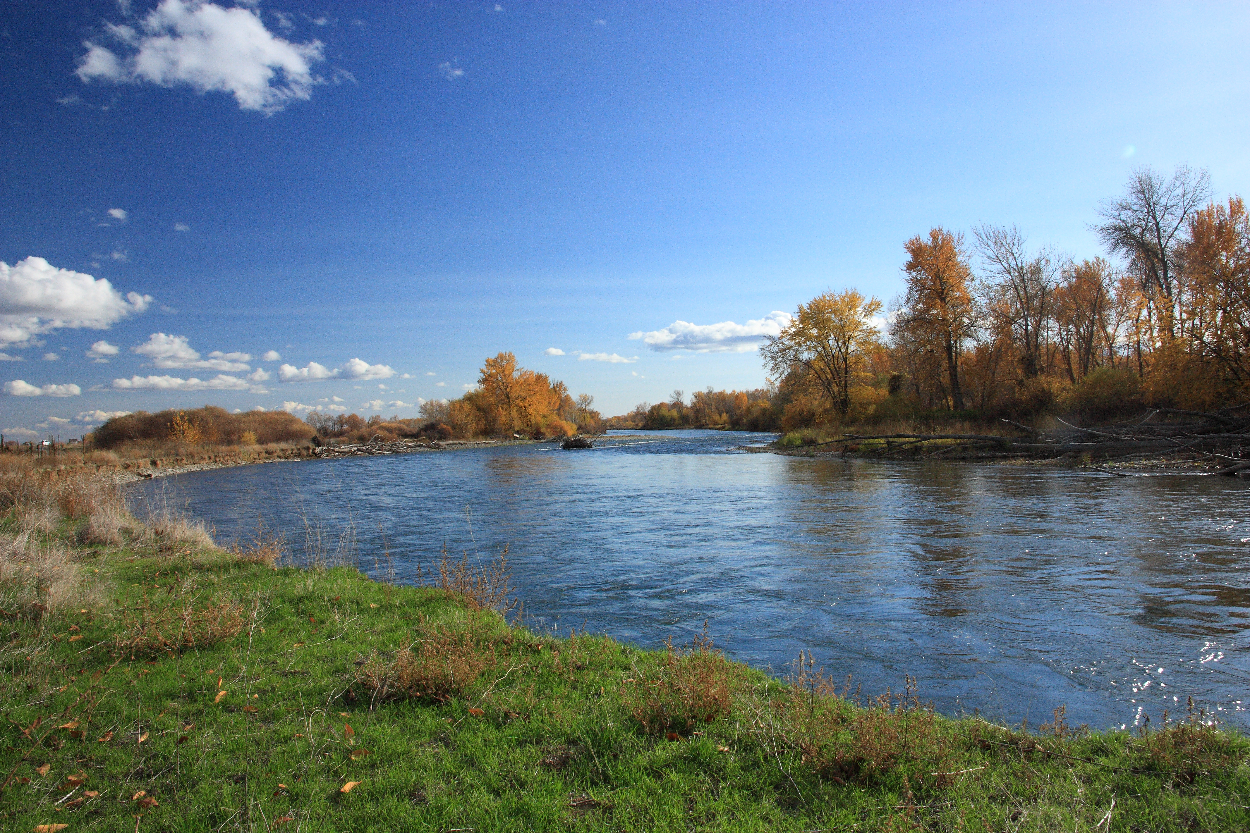
Yakima River
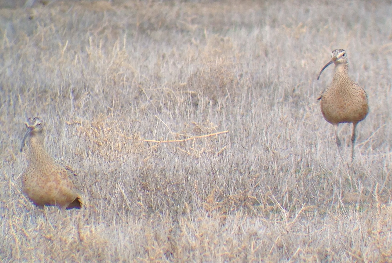
Long-billed Curlews
Peep Photo Quiz #1
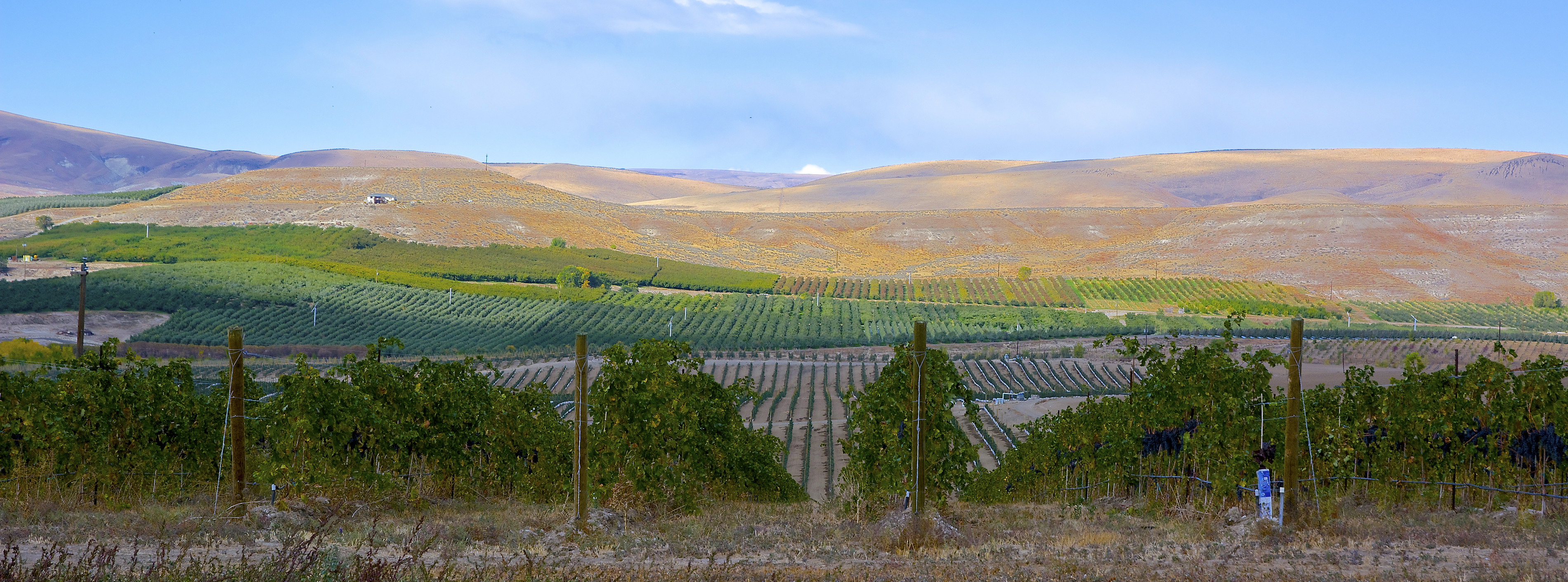
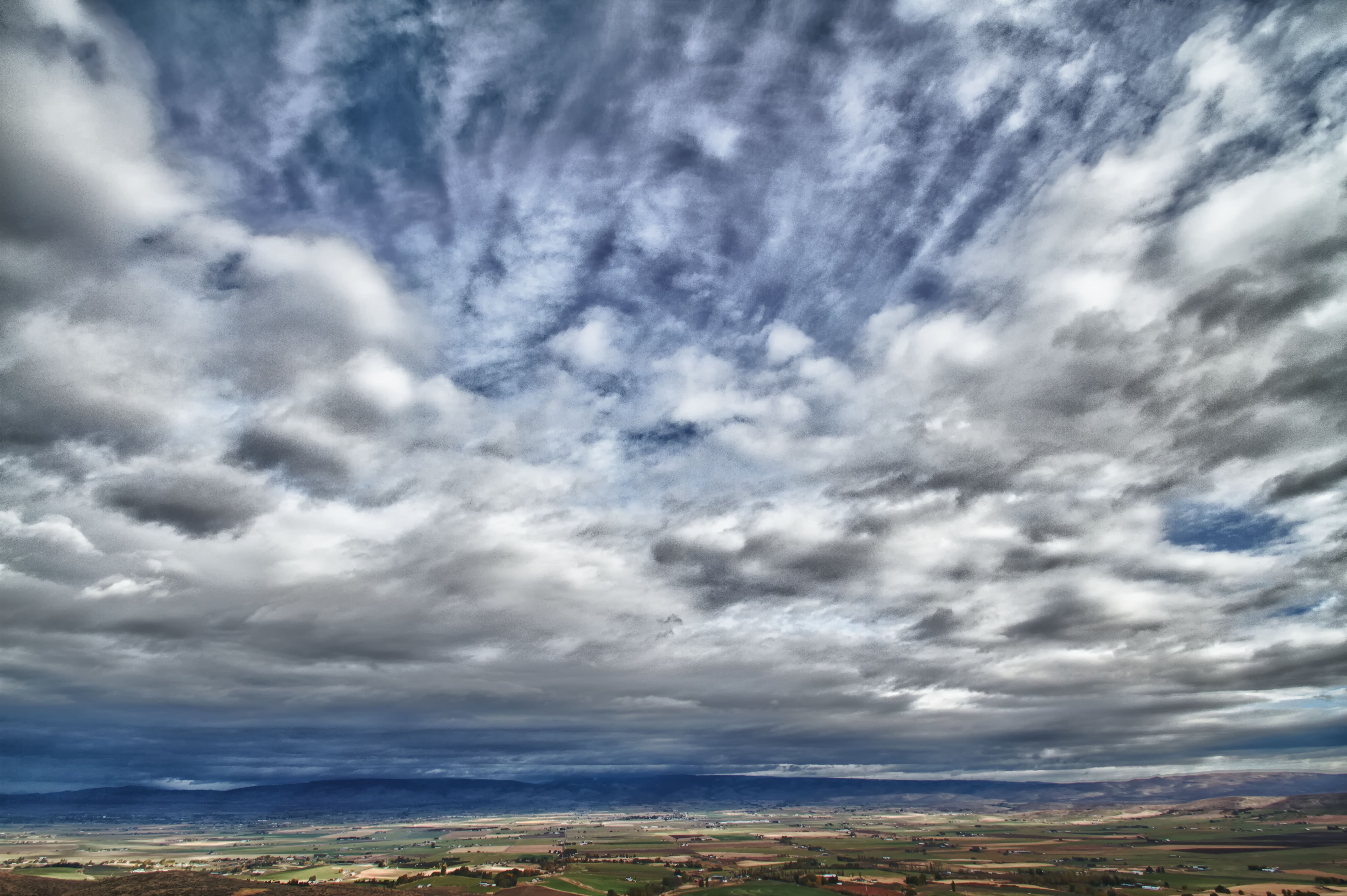
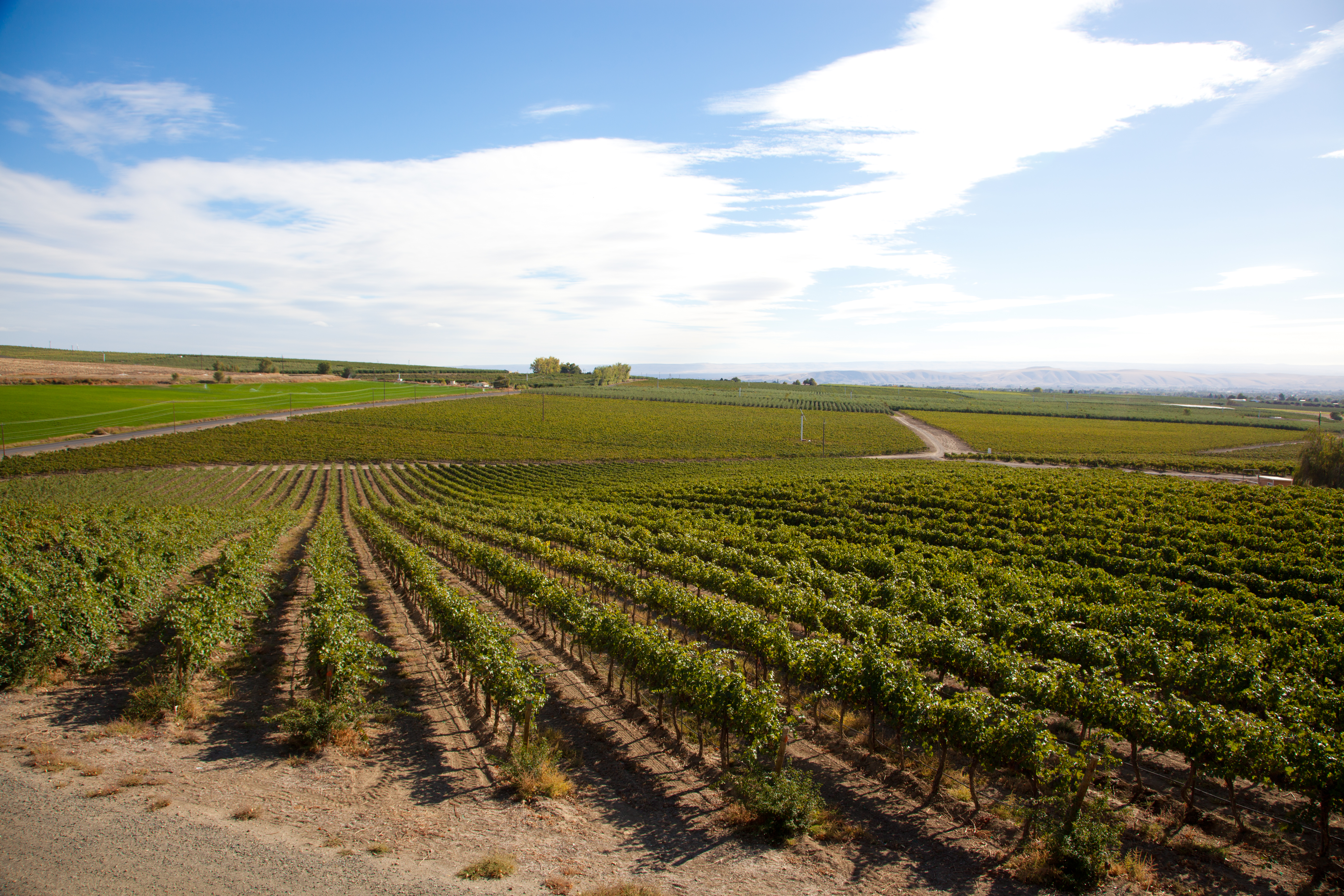
Yakima Valley wine country

Bonair Winery
Topographic Map of Yakima Valley Hwy, Zillah, WA, USA
Find elevation by address:

Places near Yakima Valley Hwy, Zillah, WA, USA:
106 Northstone Pkwy
751 Sun Acres Rd
Donald
Wapato
South Ahtanum Avenue
Moxee
9 Gangl Rd
4th
400 Lundberg Rd
Union Gap
3115 5th St
402 Alder St
2529 Main St
1908 S 17th St
Ahtanum Ridge Drive
1236 Ahtanum Ridge Dr
2400 Ahtanum Ridge Dr
2881 Harrah Rd
Wapato, WA, USA
Yakima Air Terminal – Mcallister Field
Recent Searches:
- Elevation of Corso Fratelli Cairoli, 35, Macerata MC, Italy
- Elevation of Tallevast Rd, Sarasota, FL, USA
- Elevation of 4th St E, Sonoma, CA, USA
- Elevation of Black Hollow Rd, Pennsdale, PA, USA
- Elevation of Oakland Ave, Williamsport, PA, USA
- Elevation of Pedrógão Grande, Portugal
- Elevation of Klee Dr, Martinsburg, WV, USA
- Elevation of Via Roma, Pieranica CR, Italy
- Elevation of Tavkvetili Mountain, Georgia
- Elevation of Hartfords Bluff Cir, Mt Pleasant, SC, USA