Elevation of Wright St, Batavia, OH, USA

Location: United States > Ohio > Clermont County > Wayne Township >

Longitude: -84.086280

Latitude: 39.1818102

Elevation: 276m / 906feet

Barometric Pressure: 98KPa

Elevation Map:

elevation map of Wright St, Batavia, OH, USA

Satellite Map:

Satellite map of Wright St, Batavia, OH, USA

Related Photos:

blue trees ohio chimney sky green beautiful grass stone clouds fence landscape log cabin path cincinnati peaceful fav20 boulder dirt porch cumulus serene tall rockingchair curve solitary idyllic hdr highdynamicrange msm 1000v fav10 tonemapping juici abnerhollow elmofoto lorenzomontezemolo
she said she knew the path like the back of her hand
bridge winter snow creek d50 nikon antique coveredbridge hdr relic 3xp
Covered Bridge
county school ohio house brick abandoned rural one mt decay room forgotten zion schoolhouse clermont craver
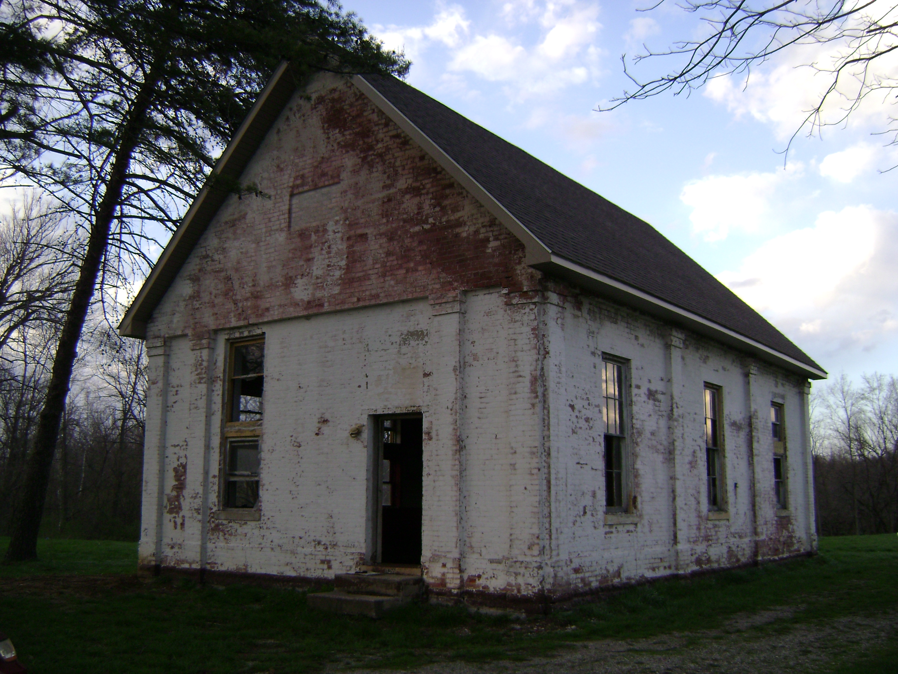
Craver, Ohio- Mt. Zion Schoolhouse
county ohio house abandoned farmhouse rural wooden decay farm forgotten clermont clertoma
Clertoma, Ohio
ohio milford cincinnatinaturecenter rowewoods
Cincinnati Nature Center, 2009-09-13 - 15
ohio owl barredowl strixvaria clermontcounty eastforkstatepark elklick
BARRED OWL
river williamsburg littlemiamiriver clermontcounty eastfork eastforklittlemiamiriver
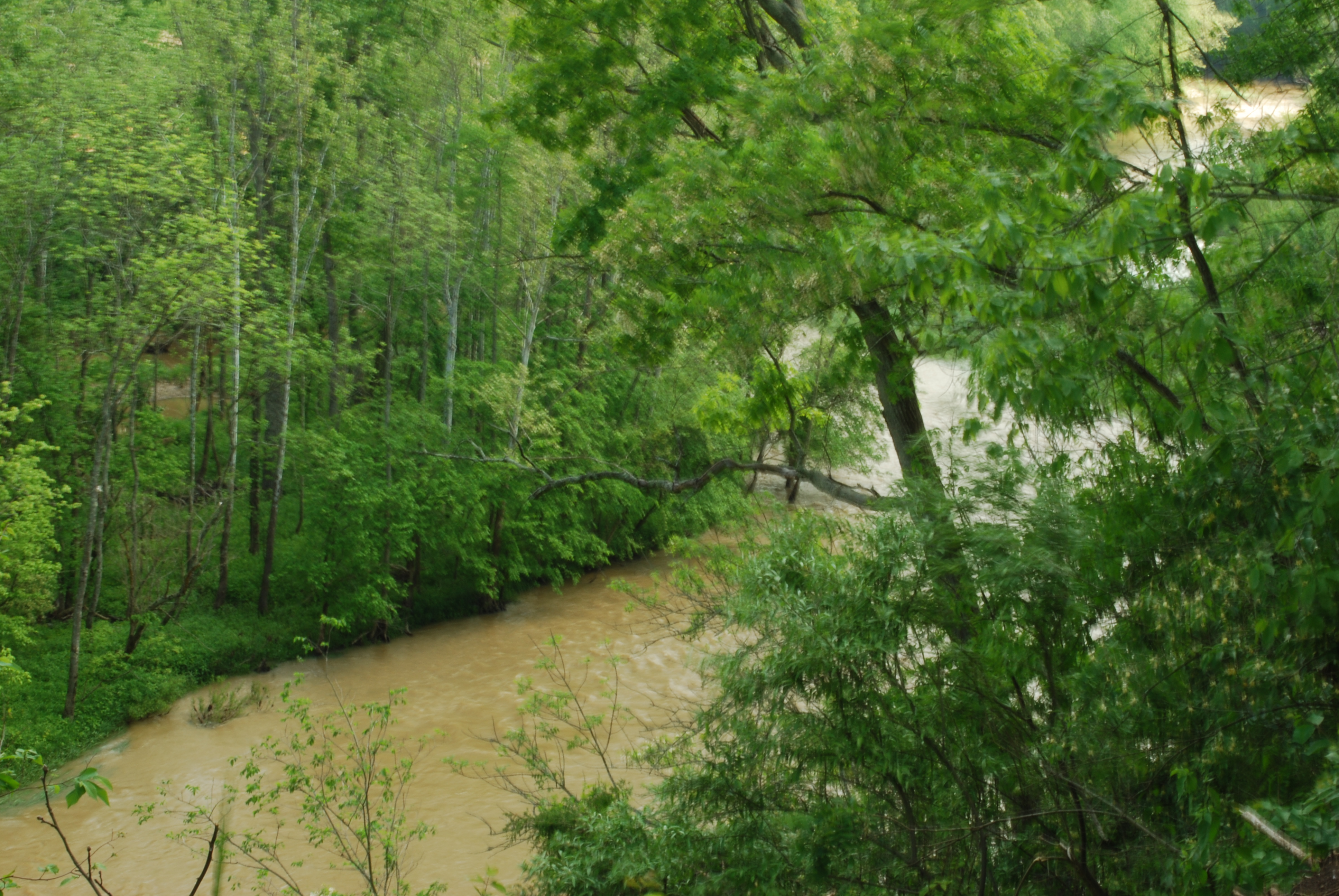
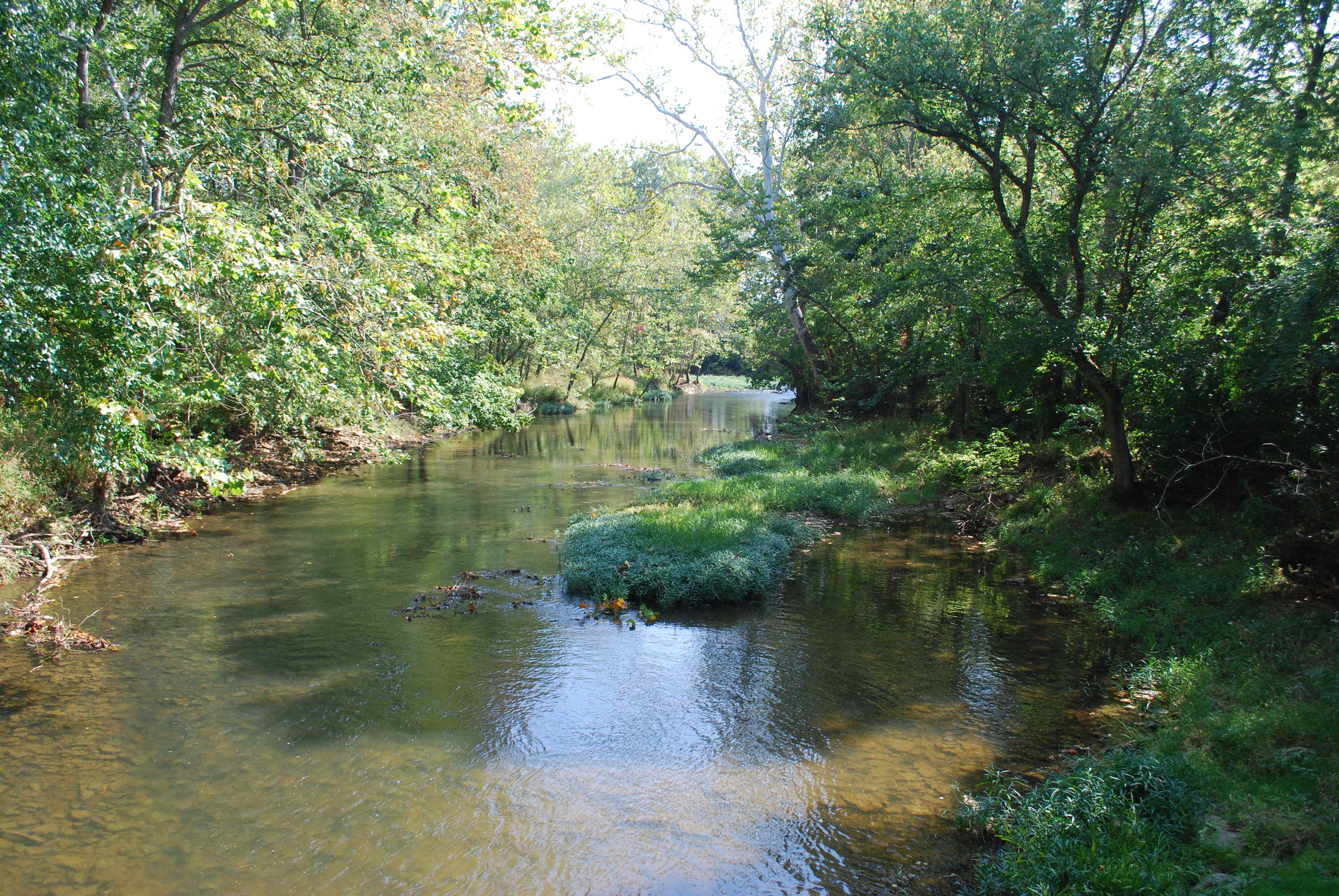
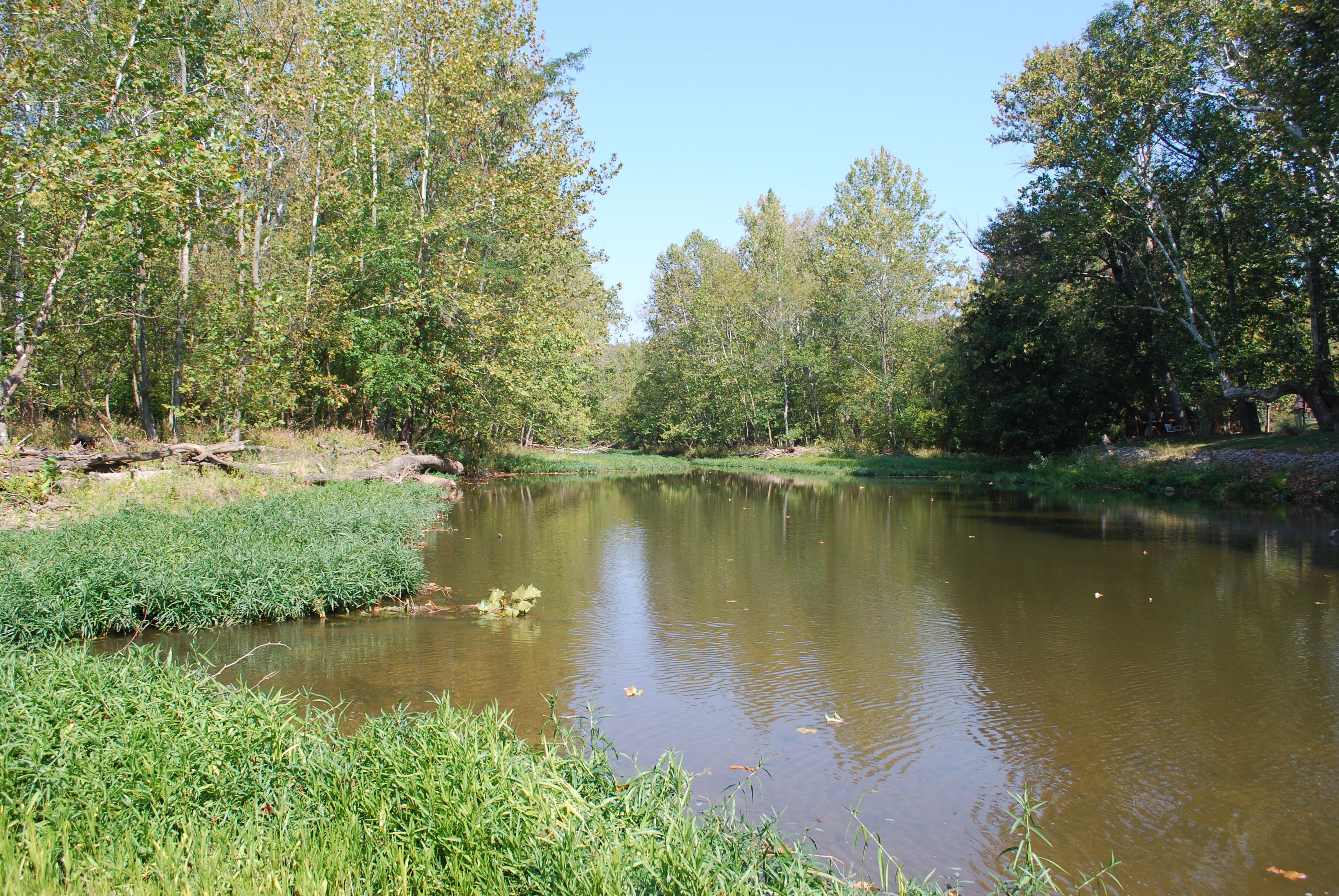
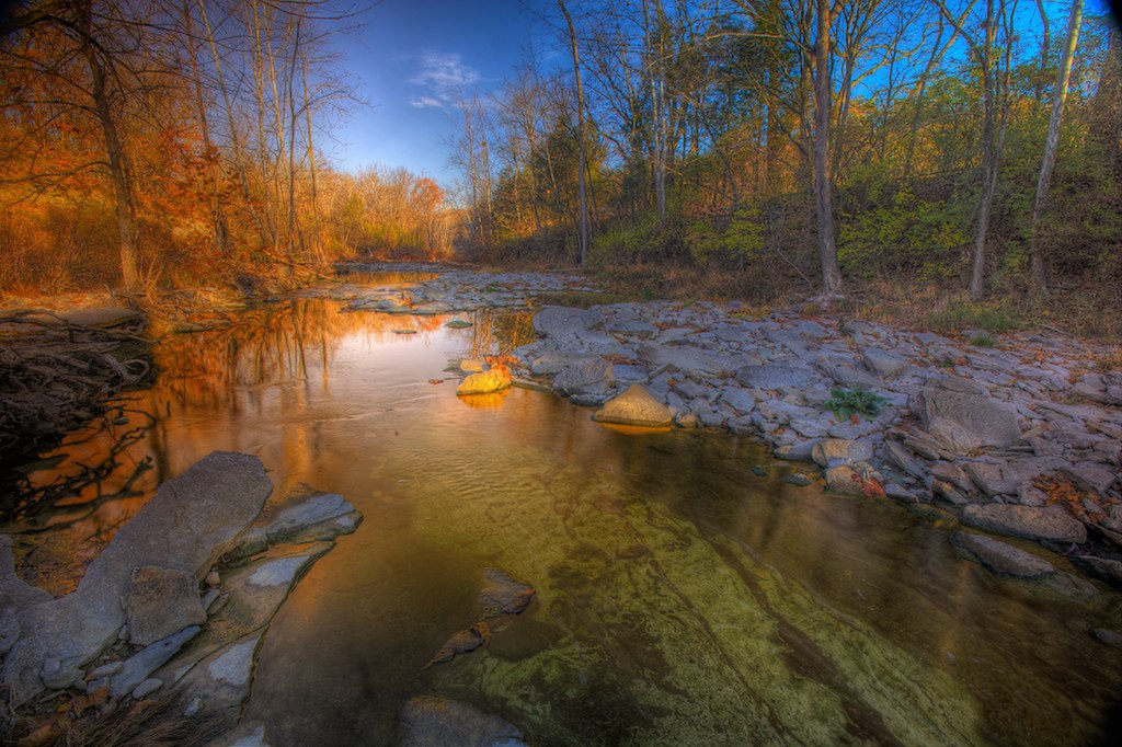
East Fork Little Miami River
blind cincinnati handheld rowewoods 70400gssmsony 704000gssmsony a77mk2 raphaelkopanphotography
Northern Cardinal.
ohio marker williamsburg clermontco clermontcountyfreedomtrail
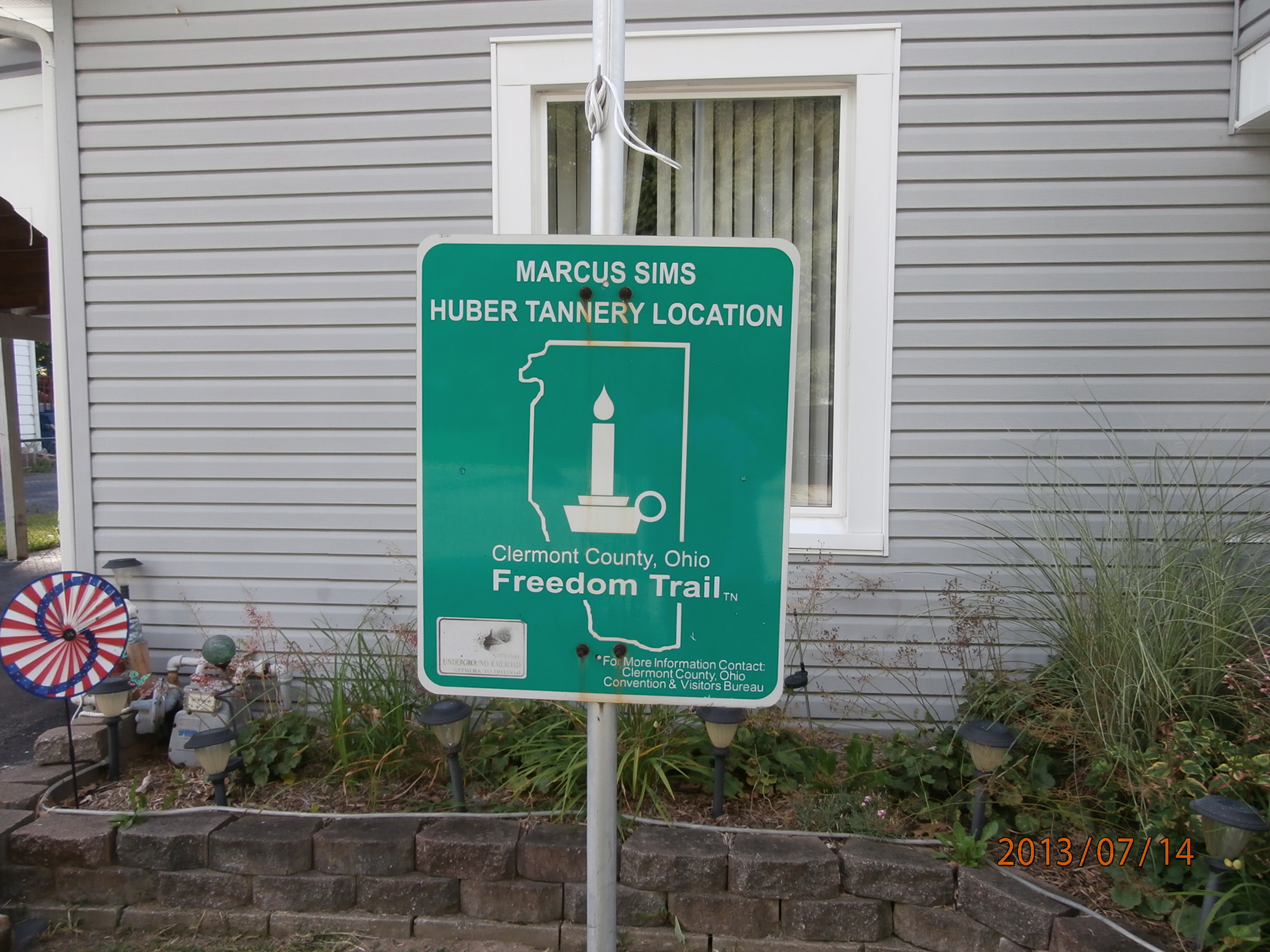
Marcus Sims Huber Tannery Location
iphoneedit handyphoto jamiesmed app snapseed vibrant road vintage iphone5s vignette iphoneography vsco thunderstorm view 2015 vscocam beauty geotag fauxvintage beautiful storm blue mobileography geotagged fayetteville phoneography sky skies iphonephoto storms rural browncounty ohio landscape midwest iphoneonly photography clouds spring facebook mobilography
IMG_1880.JPG
nature interesting bokeh eating insects bee eat gross prayingmantis foodchain delitefulimage
Want a bite, buddy ?
autumn fall leaves yellow delitefulimage
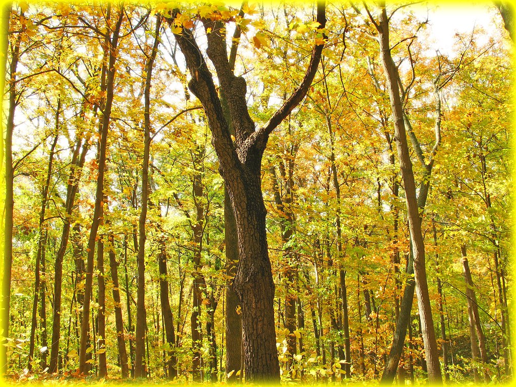
Mellow Yellow...view Large
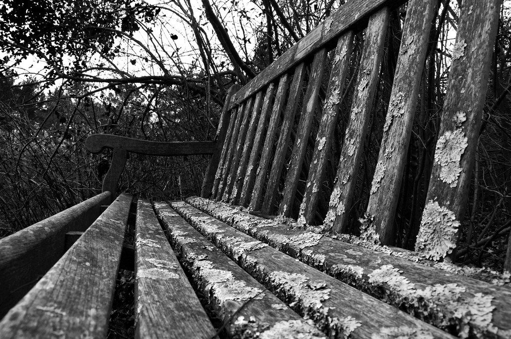
bench lichen cincinnatinaturecenter hollumsphotographynikond90 bwhollumsphotographynikond90
Lichen Bench
woods magic gone tribute magical soe wavygravy supershot anawesomeshot delitefulimage mayorspick
Return to innocence ..view large
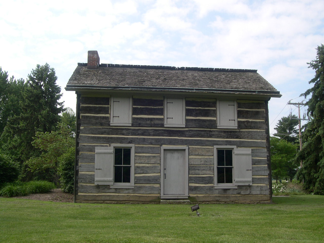
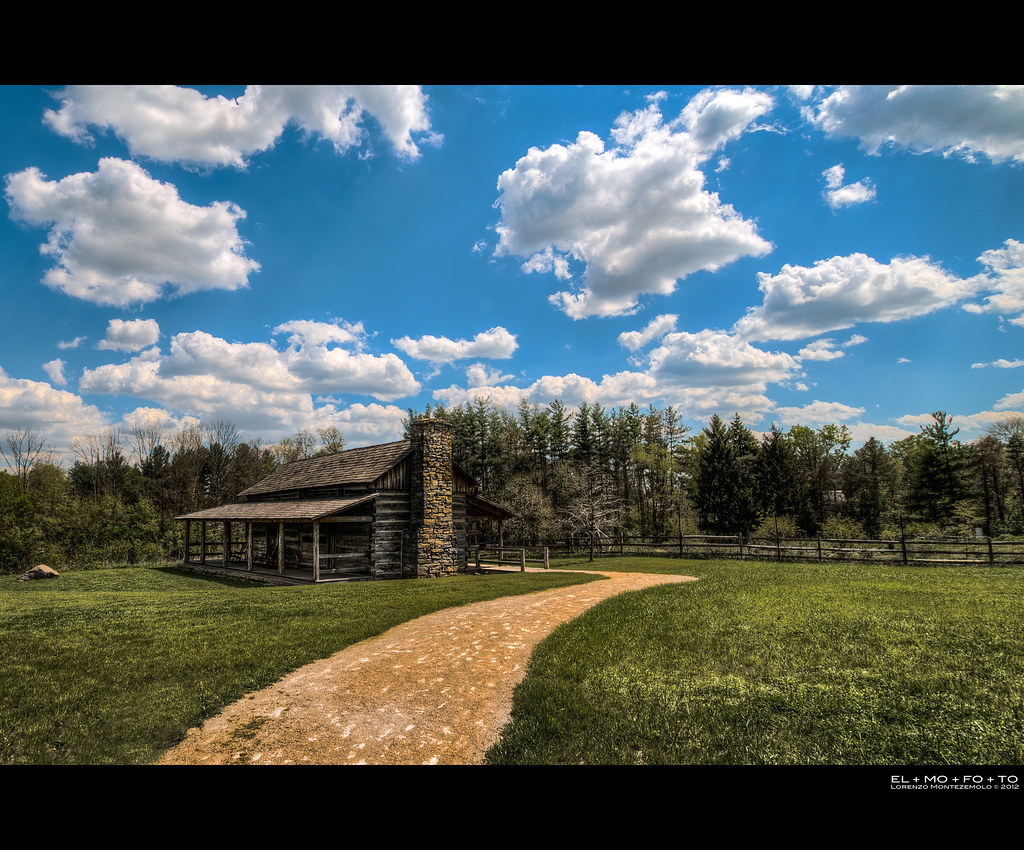
cabin logcabin clermontcounty clermontcountyparkdistrict
Hartman Log Cabin
clermontcounty sycamorepark bataviaohio clermontcountyparkdistrict wilsonnaturepreserve eastforklittlemiamiriver
Wilson Nature Preserve 3
clermontcounty sycamorepark bataviaohio clermontcountyparkdistrict wilsonnaturepreserve eastforklittlemiamiriver
Wilson Nature Preserve
county school ohio house abandoned rural one view decay room forgotten warren schoolhouse murdock pleasant
Murdock, Ohio- Pleasant View Schoolhouse
clermontcounty sycamorepark bataviaohio clermontcountyparkdistrict wilsonnaturepreserve eastforklittlemiamiriver
Wilson Nature Preserve 4
clermontcounty sycamorepark bataviaohio clermontcountyparkdistrict wilsonnaturepreserve eastforklittlemiamiriver
Wilson Nature Preserve 5
ohio owl barredowl strixvaria clermontcounty eastforkstatepark elklick
BARRED OWL
2012 fisheye app blue 500d beautiful green road beauty iphoneedit snapseed dslr t1i rebel jamiesmed teamcanon sky skies rokinon prime lens handyphoto rural geotagged roads geotag manual facebook wide angle browncounty ohio landscape fixed focus may midwest canon eos photography clouds spring
IMG_7647.JPG
glow orange 2012 a200 geotagged geotag jamiesmed sony dslr alpha app fall iphoneedit snapseed handyphoto hdr sky skies sunrise sun rural trees smalltown usa farm light facebook browncounty ohio midwest october autumn clouds
IMG_2268.JPG
2011 iphoneography phoneography mobileography sky app snapseed iphoneedit handyphoto blue skies iphone3gs geotagged geotag facebook iphonephoto mextures browncounty ohio landscape rural jamiesmed may midwest iphoneonly photography clouds spring mobilography
IMG_1739.JPG
2012 geotagged geotag jamiesmed fisheye canon eos dslr 500d t1i app rebel iphoneedit teamcanon prime lens fixed snapseed handyphoto hdr sky skies blue manual focus twitter facebook wide angle rokinon browncounty ohio landscape rural may midwest tumblr photography clouds spring
IMG_2330.JPG
2011 canon eos dslr 500d t1i app iphoneedit sky snapseed rural hdr blue skies clouds handyphoto geotagged geotag facebook barn browncounty ohio landscape jamiesmed may midwest rebel photography spring
IMG_6053.JPG
Something new
2012 app cute handyphoto hdr beautiful blue jamiesmed golden barn farm alpha glow cozy gold beauty iphoneedit nature skies vignette rust rustic snapseed trees sky geotagged geotag facebook browncounty ohio sony rural a200 dslr midwest february winter
IMG_2926.JPG
a200 2012 geotagged geotag jamiesmed sony alpha app fall iphoneedit snapseed handyphoto sky skies sunrise sun silhouette rural farm light facebook dslr browncounty ohio landscape midwest october autumn photography
IMG_2742.JPG
2012 beauty beautiful blue 500d app handyphoto emotion fisheye concrete dslr jamiesmed light rokinon snapseed iphoneedit skies t1i teamcanon rebel sky lens prime geotagged road roads geotag hdr manual facebook wide angle browncounty ohio landscape fixed focus rural may midwest canon eos photography clouds spring
IMG_5178.JPG
2011 barn rural farm hdr iphoneedit dslr app handyphoto snapseed sky eos t1i geotagged geotag antique vintage skies software facebook browncounty ohio landscape blackwhite bw blackandwhite jamiesmed may midwest canon 500d rebel photography clouds tumblr spring
IMG_6054.JPG
canon eos dslr 500d t1i app rebel fisheye rokinon jamiesmed prime lens snapseed iphoneedit handyphoto geotagged blue skies sky geotag trees 2012 teamcanon fixed manual focus facebook wide angle browncounty ohio landscape rural may midwest photography clouds spring
IMG_0005.JPG
2011 iphoneography phoneography mobileography app snapseed iphoneedit blue skies handyphoto sky iphone3gs geotagged geotag iphonephoto browncounty ohio landscape rural jamiesmed may midwest iphoneonly photography clouds spring tumblr facebook mobilography
IMG_5683.JPG
landscapes book1
2010-11-13 at 09-28-31
mobileography iphoneography iphoneedit snapseed 2012 sky jamiesmed handyphoto iphone4s skies app geotagged geotag farm iphonephoto clermontcounty rural ohio midwest october autumn fall phoneography iphoneonly clouds mobilography
IMG_2713.JPG
2012 app beautiful emotion farm beauty barn hdr golden gold grass glow handyphoto jamiesmed love nature rust iphoneedit vignette trees snapseed rustic geotagged geotag facebook browncounty ohio a200 sony rural dslr alpha midwest february winter
IMG_2928.JPG
landscapes book1
2010-11-13 at 08-58-28
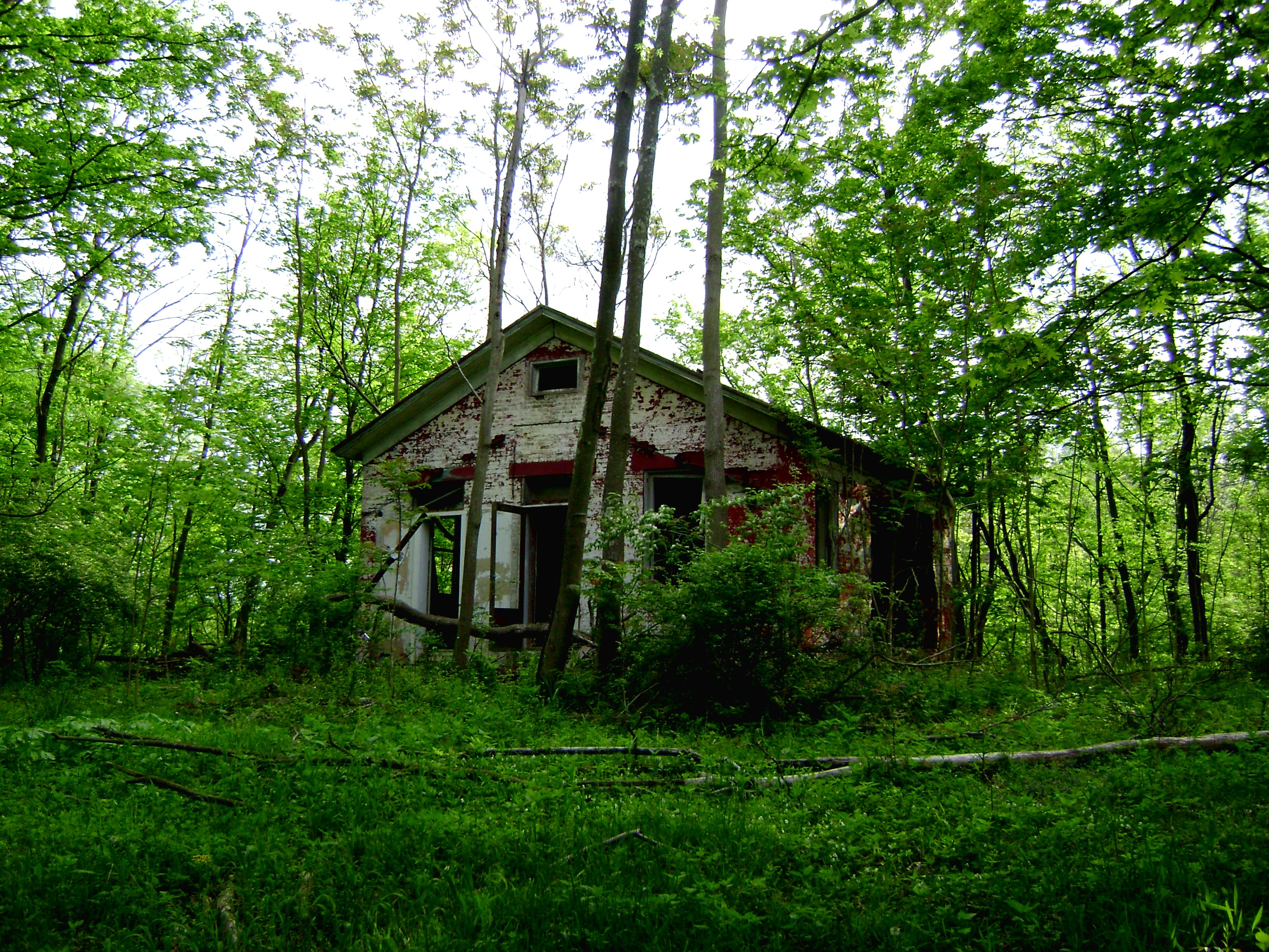
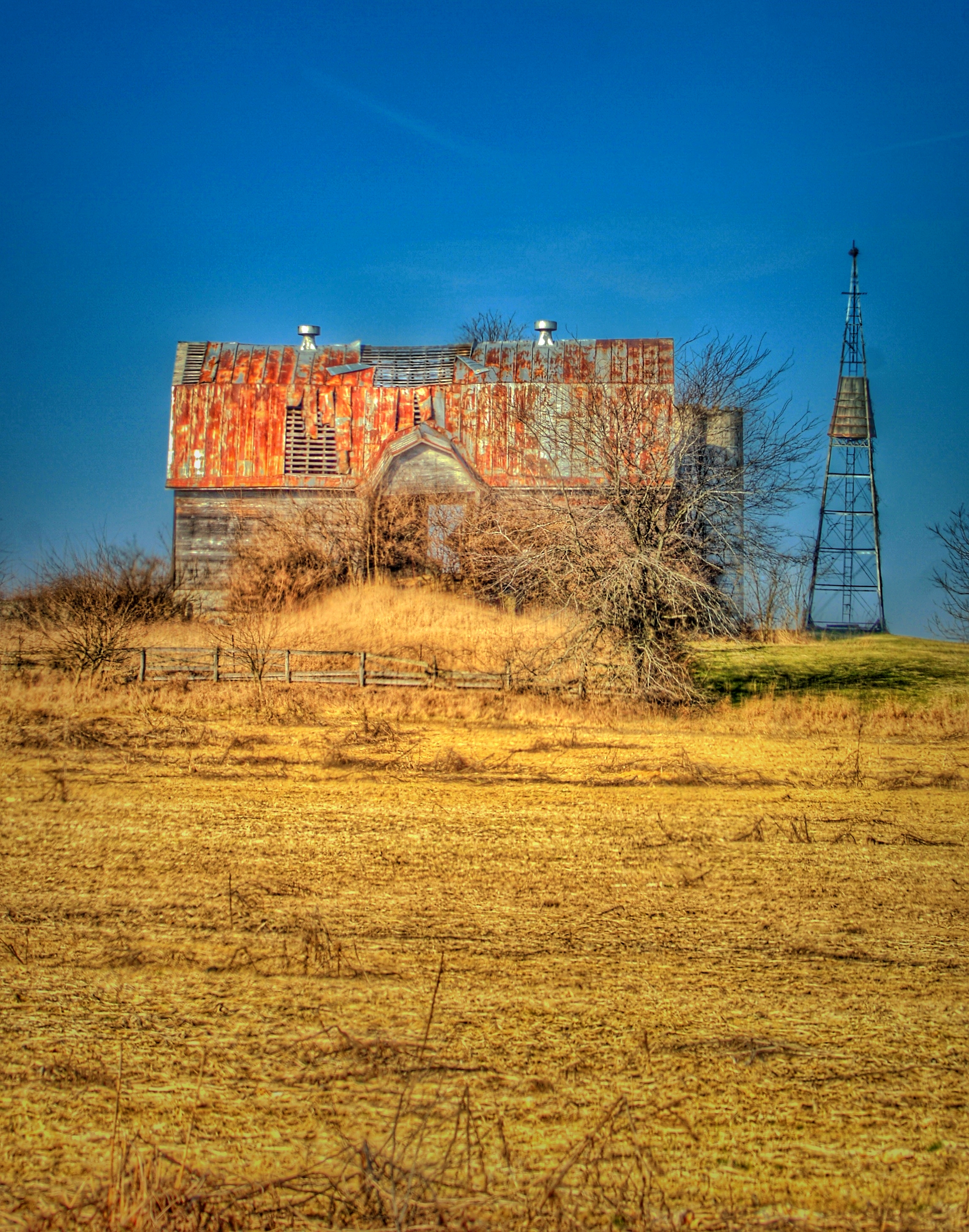
2011 homes houses mobileography phoneography iphoneography iphone3gs square iphoneedit dslr app sky snapseed geotagged geotag skies farm house home handyphoto iphonephoto browncounty ohio landscape rural blackwhite bw blackandwhite jamiesmed midwest iphoneonly photography clouds mobilography
Old Farm House
jamiesmed iphoneedit sony 2009 dslr snapseed skies clouds sky orange app autostitch alpha geotagged geotag rides handyphoto pumpkinrun people facebook clermontcounty landscape rural ohio a200 midwest october autumn fall photography panorama pano
IMG_1937.JPG
2014 green app jamiesmed iphoneedit snapseed sony a200 alpha dslr mextures handyphoto sky hdr rural barn geotagged geotag skies farm facebook landscape ohio may midwest photography tumblr spring
IMG_1848.JPG
2012 a200 beauty iphoneedit nature handyphoto tree skies golden beautiful app glow alpha skyline rural peaceful sunrise vignette emotion jamiesmed orange trees snapseed light gold sky yellow sony hdr geotagged geotag farm facebook dslr browncounty ohio midwest october autumn fall
IMG_4761.JPG
landscapes book1
2010-11-13 at 09-26-52