Elevation of Broadway St, Batavia, OH, USA
Location: United States > Ohio > Clermont County >
Longitude: -84.13579
Latitude: 39.122786
Elevation: 263m / 863feet
Barometric Pressure: 98KPa
Elevation Map:
Satellite Map:
Related Photos:

TrackHead Studios - New Flooring

TrackHead Studio - Twins

TrackHead Studios - Pink Health

Red-Necked Grebe
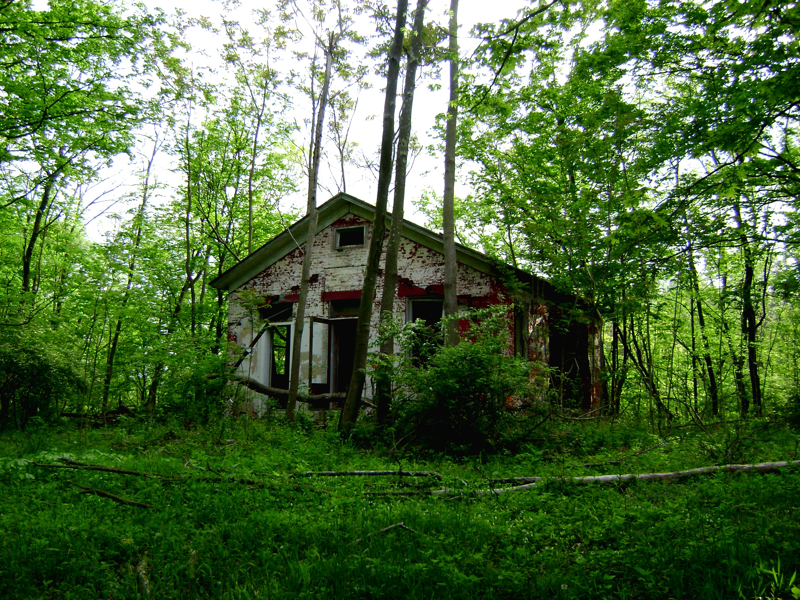
Craver, Ohio- Mt. Zion Schoolhouse

Snow Bunting
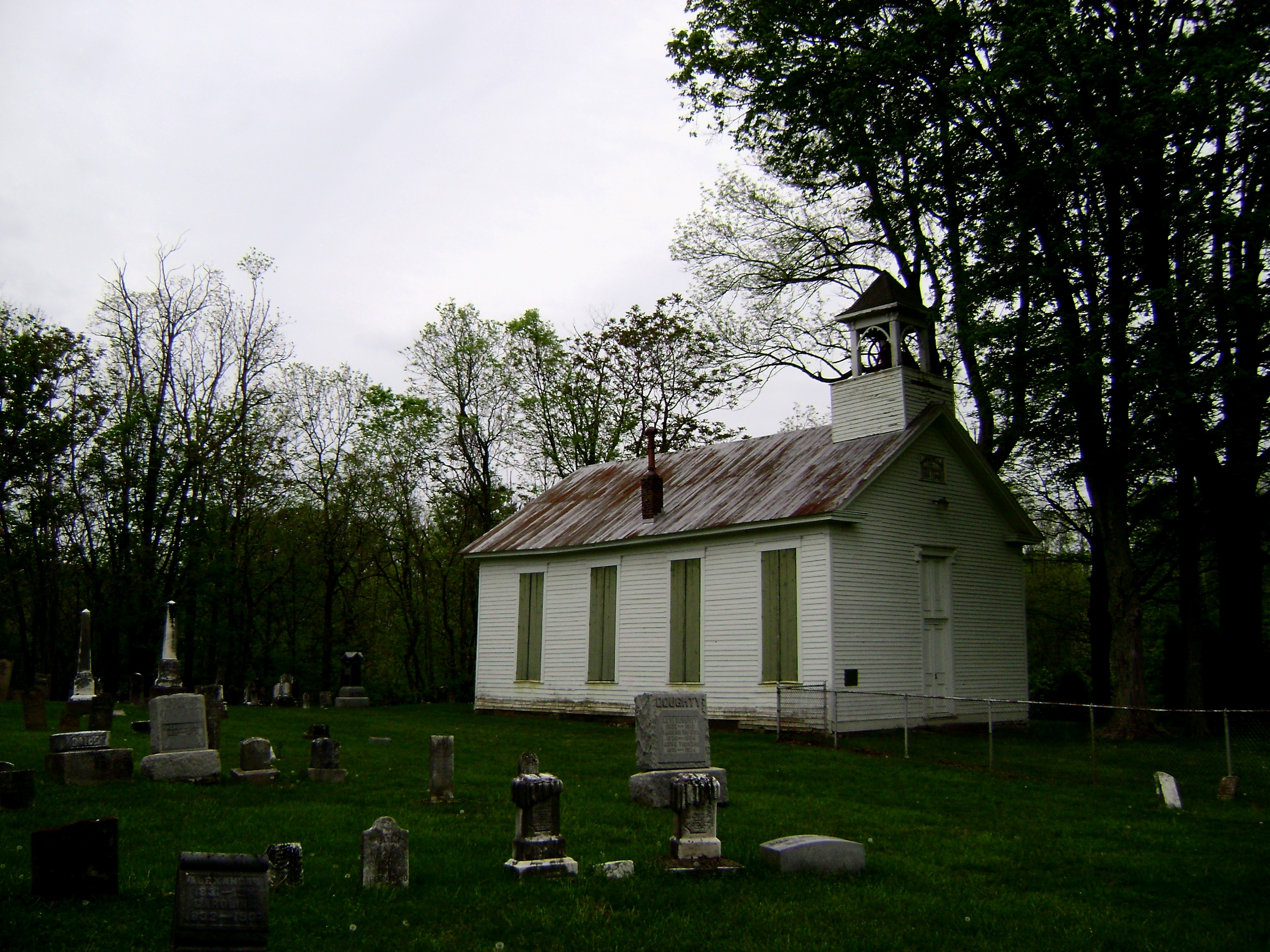
Bantam, Ohio
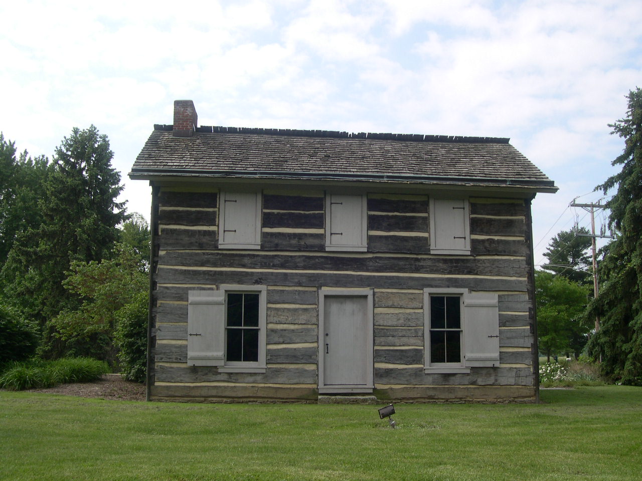
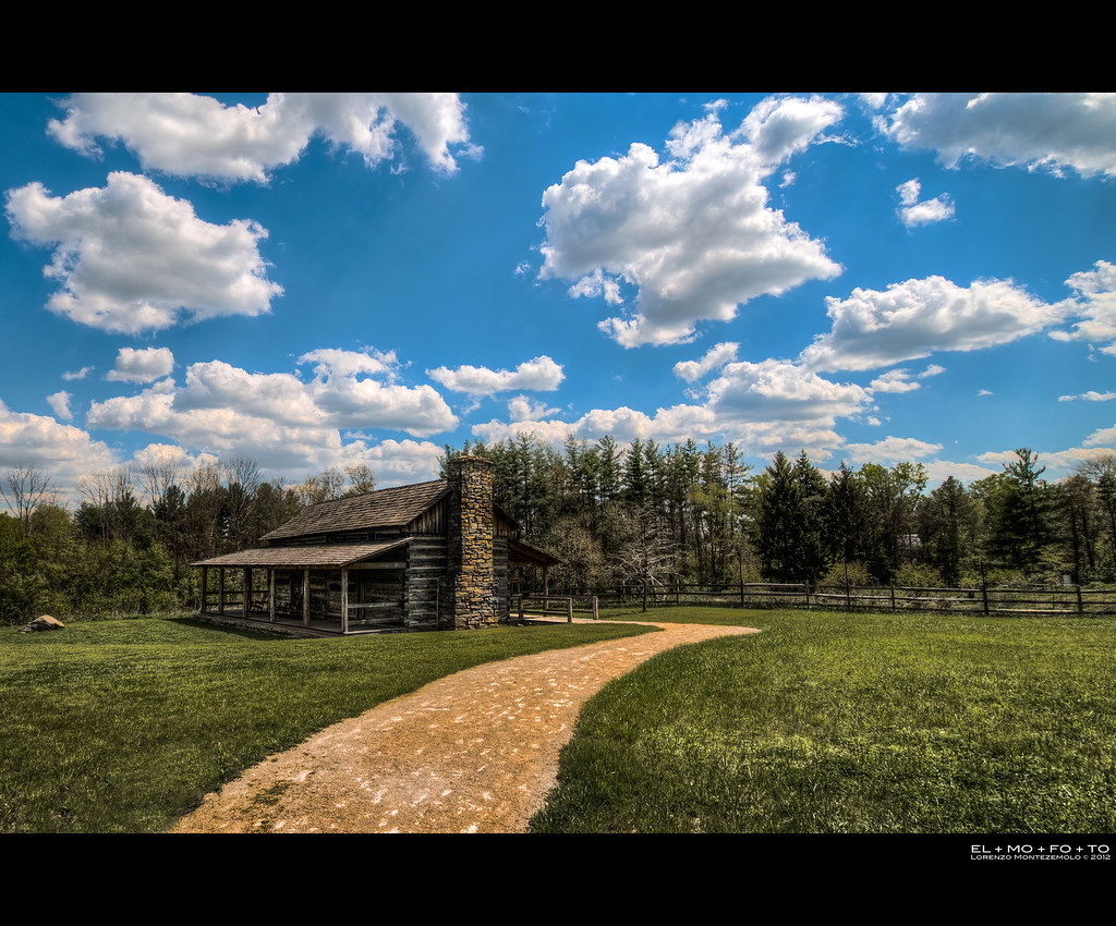
Hartman Log Cabin

Want a bite, buddy ?

TrackHead Studios - Hunger

TrackHead Studios - Selfie
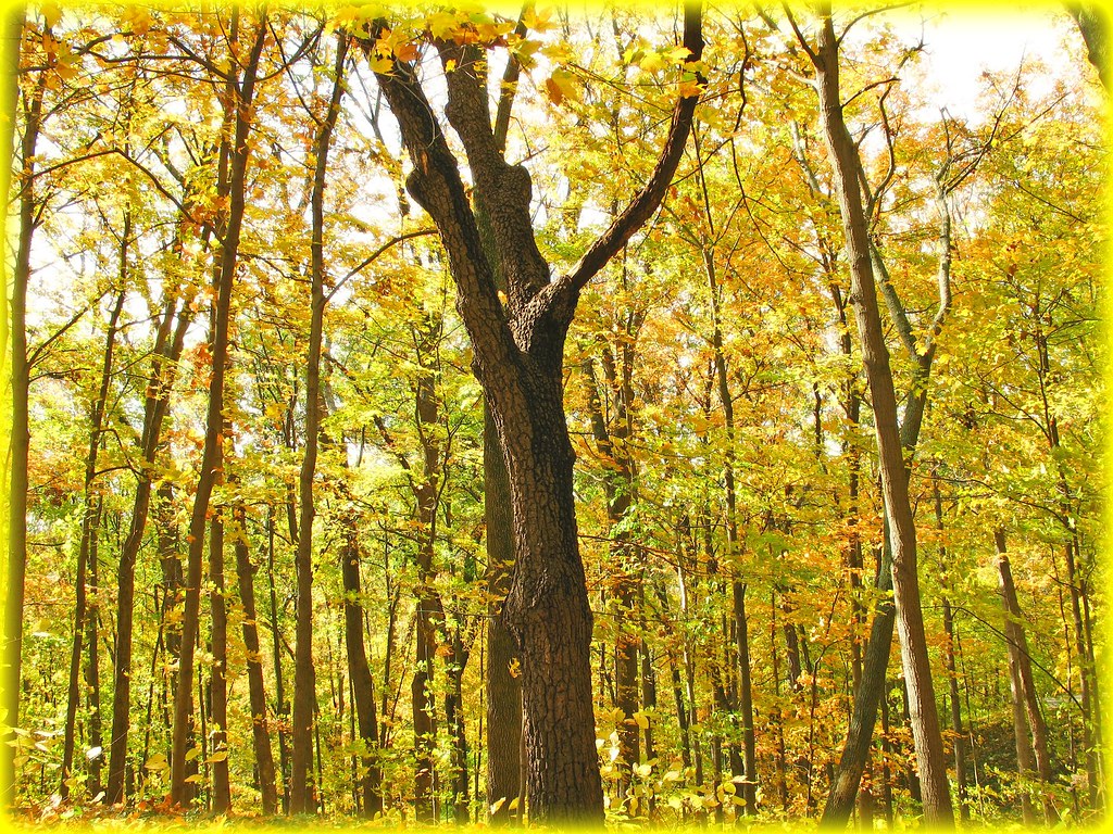
Mellow Yellow...view Large

TrackHead Studios - Bear Blowing Kisses

TrackHead Studios - Oops! She did it.

Raccoon GIF
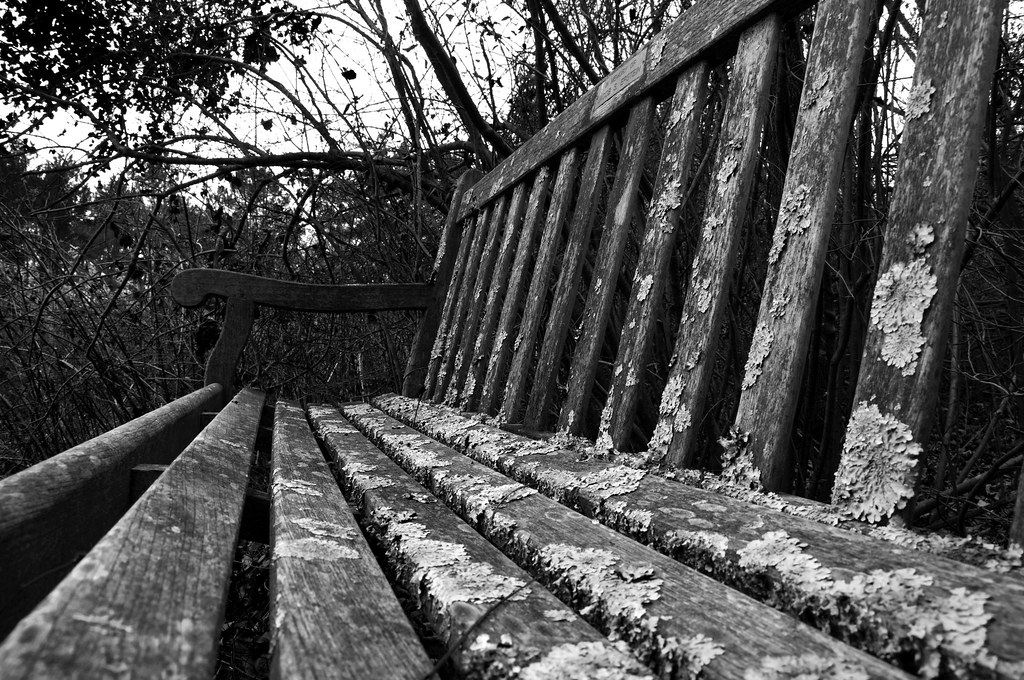
Lichen Bench

Return to innocence ..view large

TrackHead Studios - Brown Smoke

TrackHead Studios - One Big Bowl

Red-Necked Grebe
she said she knew the path like the back of her hand

Fog Mirror

A pretty evening at #cincynature - #beautiful day in #Cincinnati! #landscape #lamdscapeporn #nature #igerscincinnati #cincygram #instamood #naturegram #beauty #igdaily #natgeoyourshot #naturehippys #trees #milfordohio #hiking #outdoors #lifeisgood

Morning Reflections
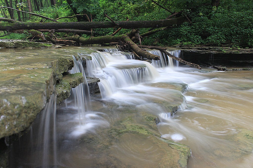
8-22-14, Ulrey Run. EXPLORE 11-16-2014
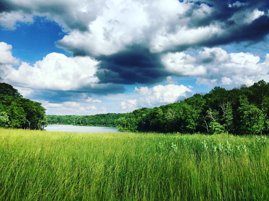
#nature #ohio #lake
IMG_1739.JPG

IMG_2713.JPG
East Fork

Something new
East Fork State Park
Avey’s Run · Detail

you've propelled yourself into the arms of god and christ and all the saints

IMG_1937.JPG

deck above stream by labyrinth

First official RAW photos.
IMG_2802.JPG

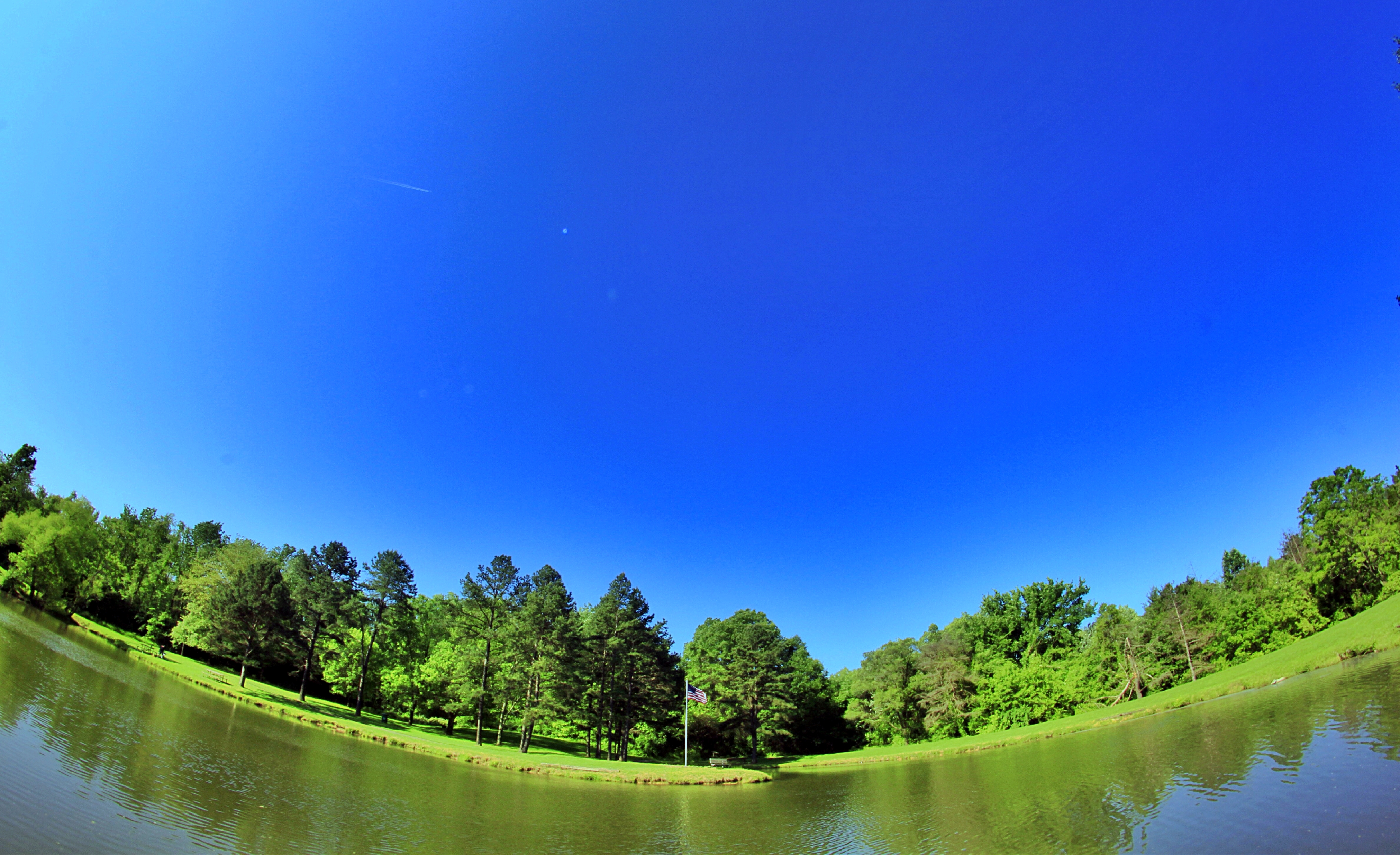
Shoreline of Stonelick Lake

IMG_5835.JPG

IMG_3101.JPG
Topographic Map of Broadway St, Batavia, OH, USA
Find elevation by address:

Places near Broadway St, Batavia, OH, USA:
2556 Autumn Ridge
Stonelick Township
2782 Jackson Pike
Clermont County Engineers Office
Commons Circle Drive
Batavia Road
1799 Craver Rd
Goshen Rd, Goshen, OH, USA
Clermont County
Batavia Township
Batavia
101 E Main St
West Main Street
Mount Zion Road
5653 Wittmer Meadows Dr
5653 Wittmer Meadows Dr
Clermont County
OH-, Goshen, OH, USA
Wright St, Batavia, OH, USA
1813 Parker Rd
Recent Searches:
- Elevation of Corso Fratelli Cairoli, 35, Macerata MC, Italy
- Elevation of Tallevast Rd, Sarasota, FL, USA
- Elevation of 4th St E, Sonoma, CA, USA
- Elevation of Black Hollow Rd, Pennsdale, PA, USA
- Elevation of Oakland Ave, Williamsport, PA, USA
- Elevation of Pedrógão Grande, Portugal
- Elevation of Klee Dr, Martinsburg, WV, USA
- Elevation of Via Roma, Pieranica CR, Italy
- Elevation of Tavkvetili Mountain, Georgia
- Elevation of Hartfords Bluff Cir, Mt Pleasant, SC, USA