Elevation of S 3rd St, Williamsburg, OH, USA
Location: United States > Ohio > Clermont County > Williamsburg Township >
Longitude: -84.057802
Latitude: 39.0503515
Elevation: 265m / 869feet
Barometric Pressure: 98KPa
Elevation Map:
Satellite Map:
Related Photos:

TrackHead Studios - Selfie

TrackHead Studios - Bear Blowing Kisses

Red-Necked Grebe

Covered Bridge

Who Knew: the Easter Bunny can weld?

TrackHead Studios - Frozen Landscape 5

Snow Bunting

PURPLE SANDPIPER at EAST FORK STATE PARK, BANTAM, OHIO OCTOBER 26, 2013

PRAIRIE WARBLER
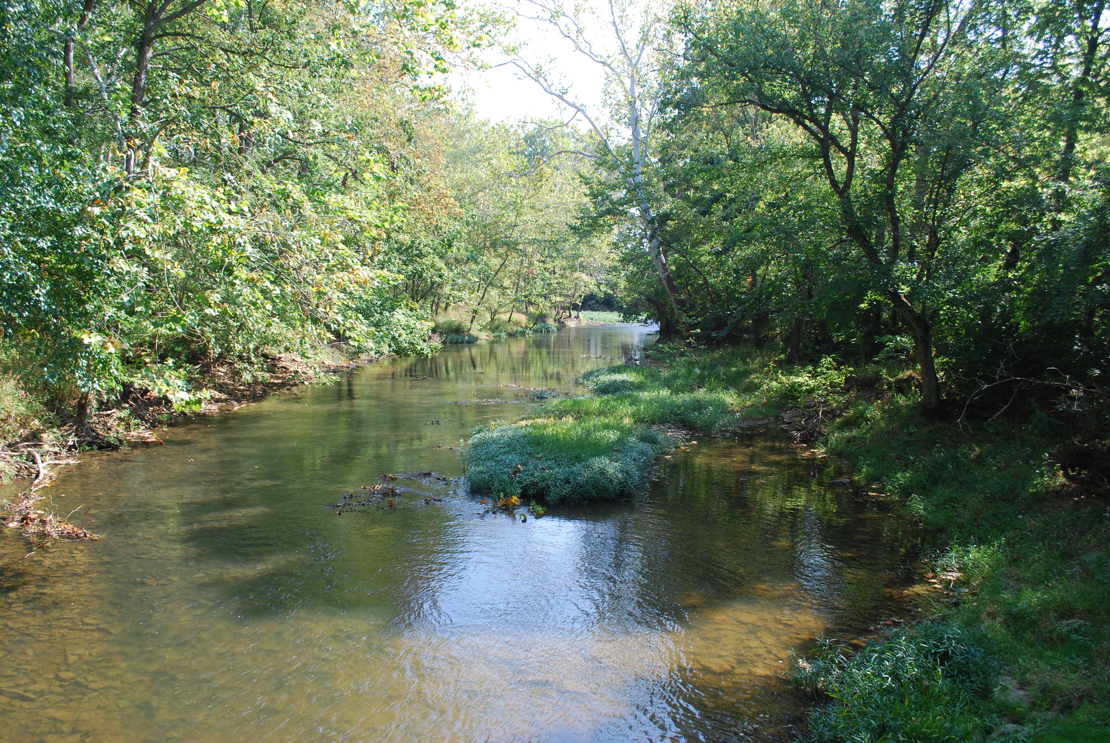
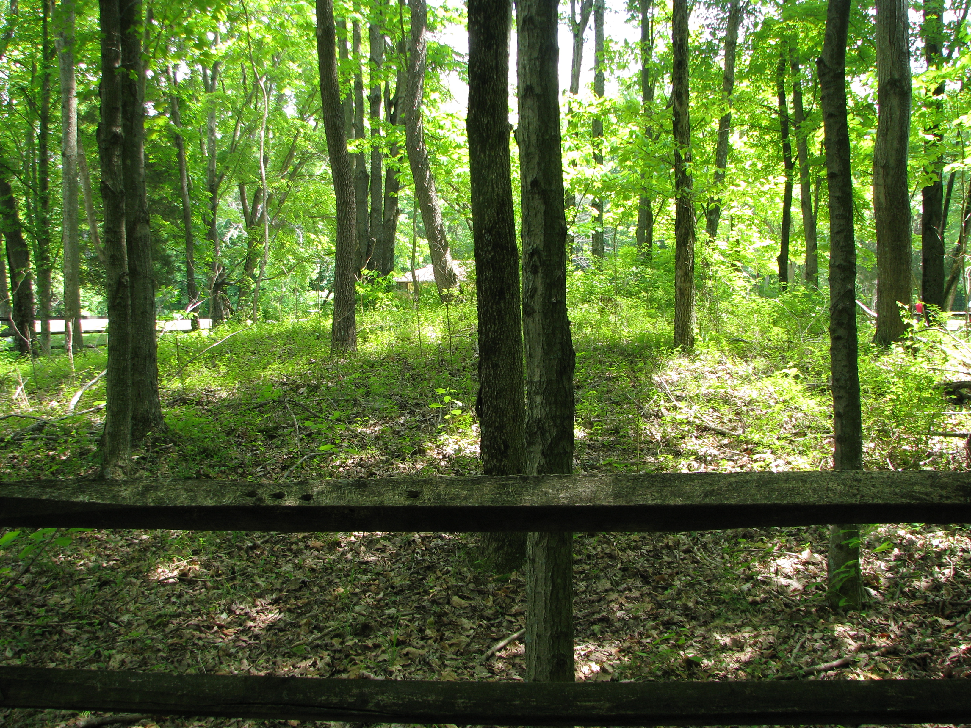
Wilson Nature Preserve 3
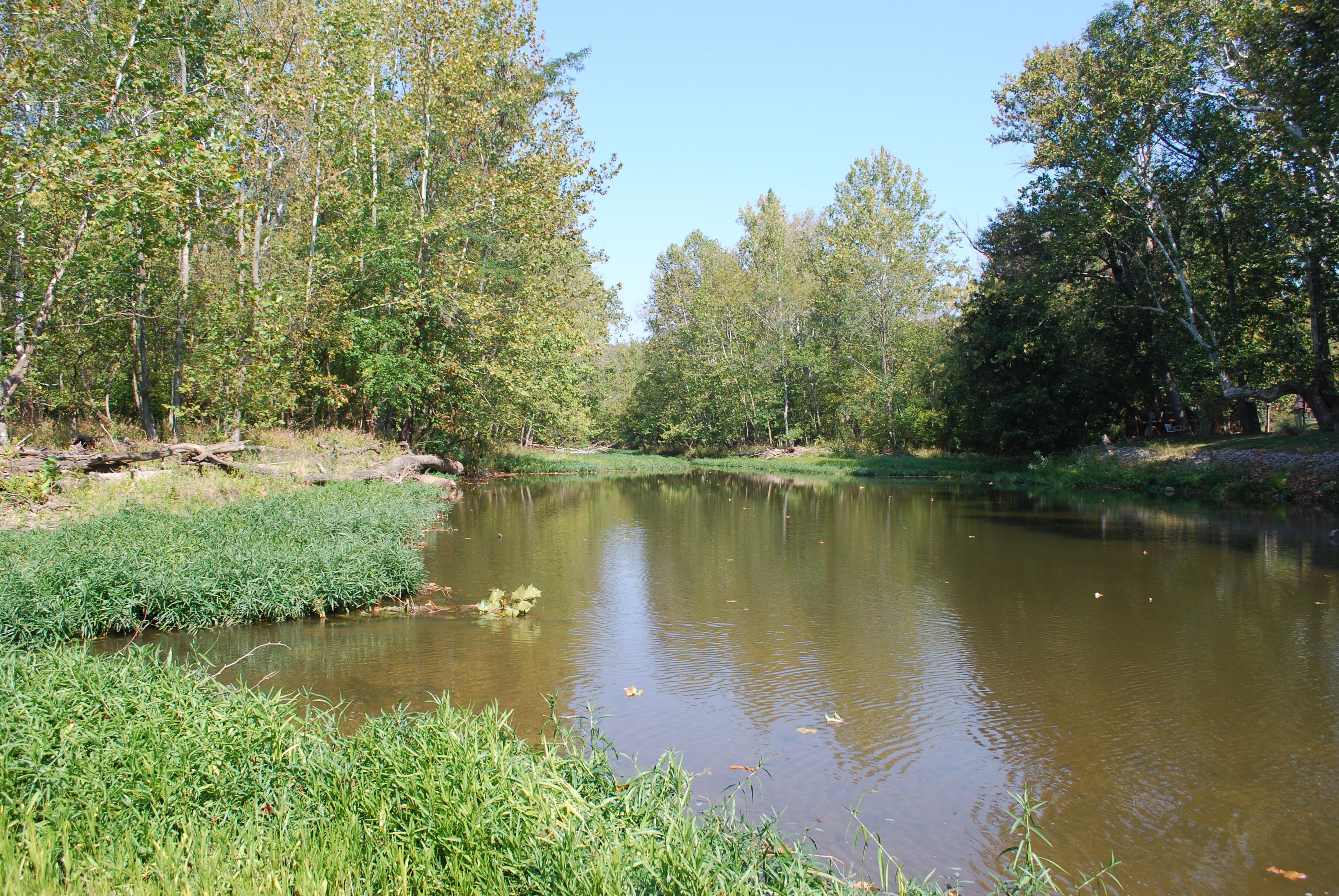
Wilson Nature Preserve

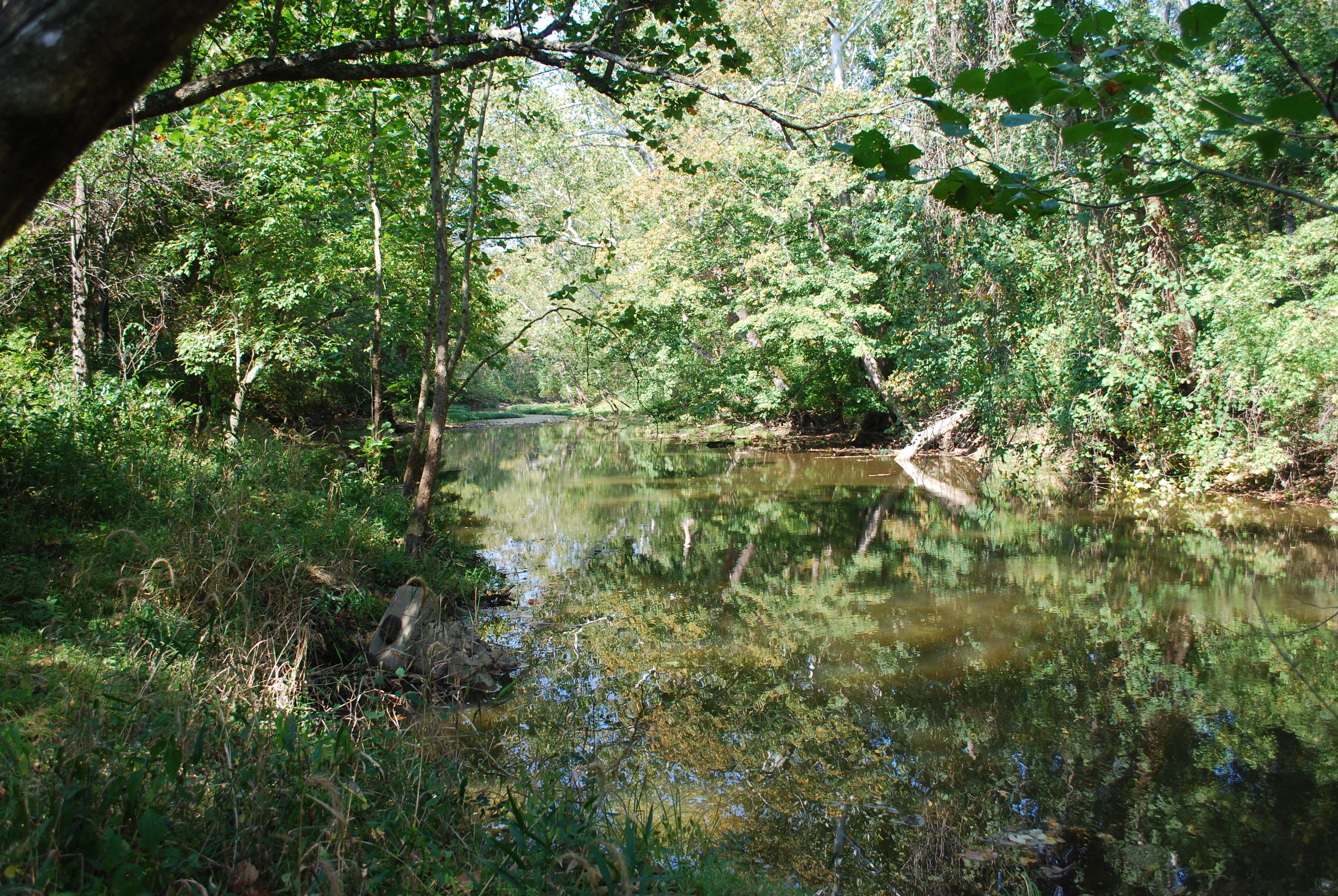
Wilson Nature Preserve 4
Wilson Nature Preserve 5
TrackHead Studios - The Bird Whisperer crawls
TrackHead Studios - New Flooring

TrackHead Studios - Oops! She did it.

Raccoon GIF

TrackHead Studios - Brown Smoke

TrackHead Studios - One Big Bowl

Red-Necked Grebe
Craver, Ohio- Mt. Zion Schoolhouse

IMG_6244.JPG

IMG_2742.JPG

IMG_2268.JPG

IMG_6669.JPG

IMG_1834.JPG

IMG_4761.JPG

IMG_4763.JPG

IMG_6671.JPG

Morning Reflections
IMG_6053.JPG

Fog Mirror

IMG_6054.JPG

Explored (10.06.2014)
8-22-14, Ulrey Run. EXPLORE 11-16-2014
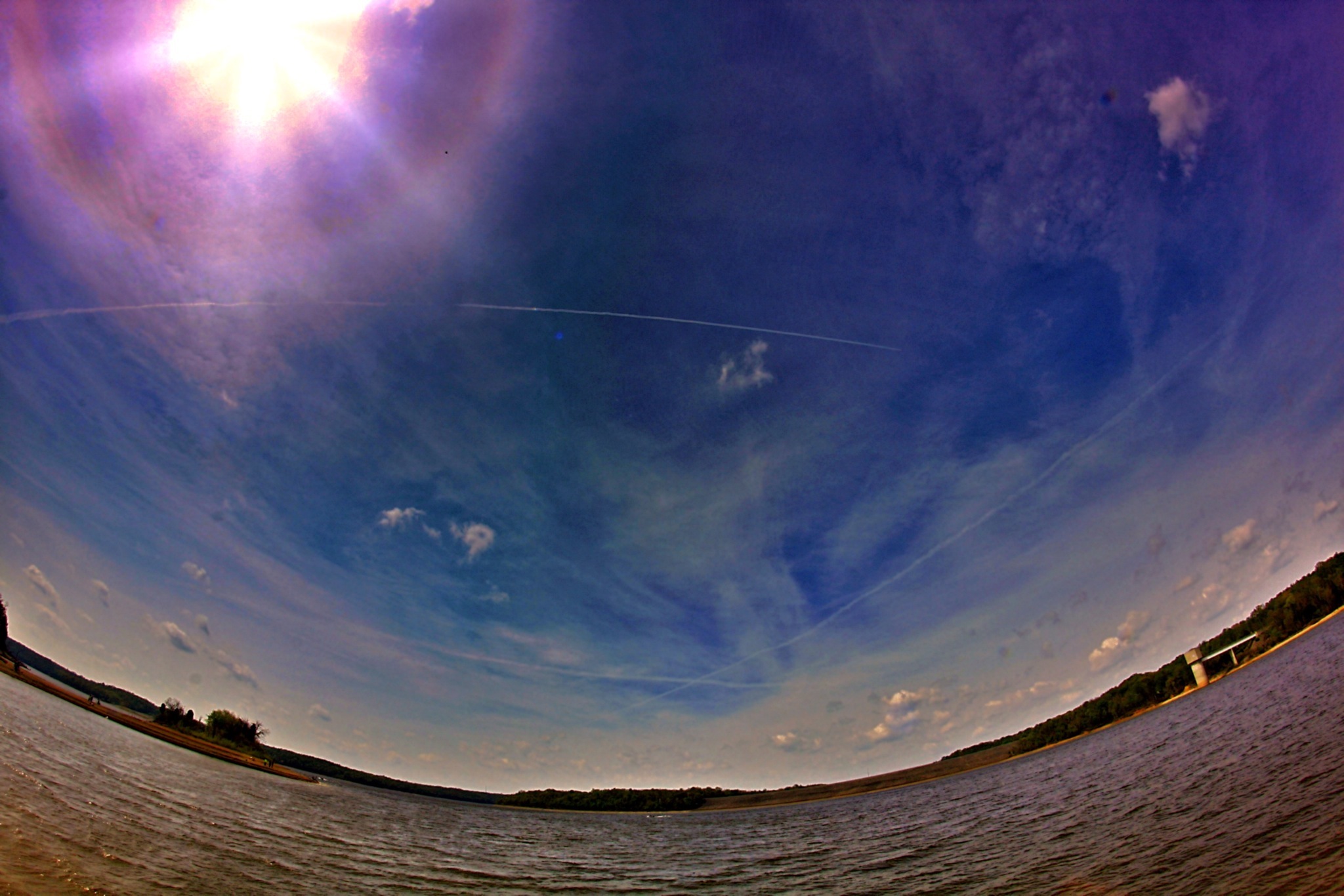
#nature #ohio #lake

IMG_5683.JPG
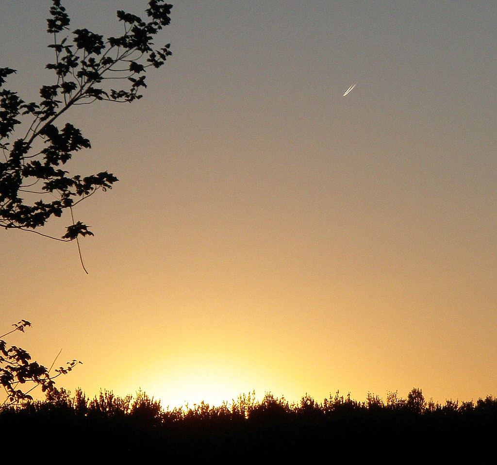
Sunset Flight.
IMG_1739.JPG
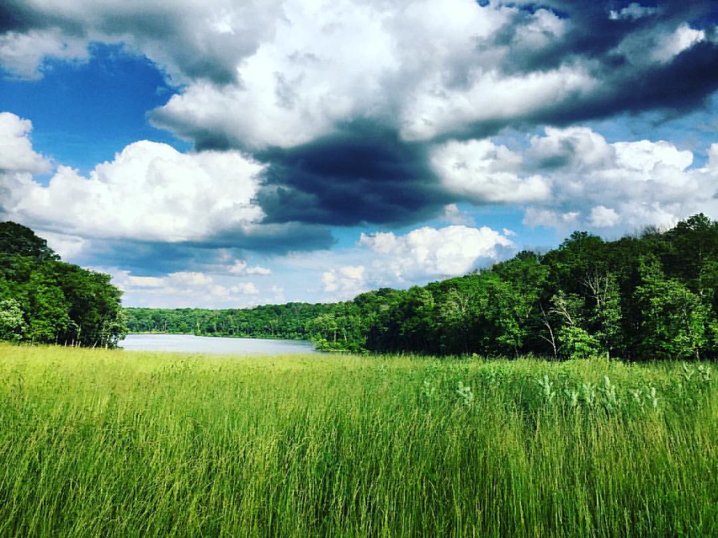
East Fork
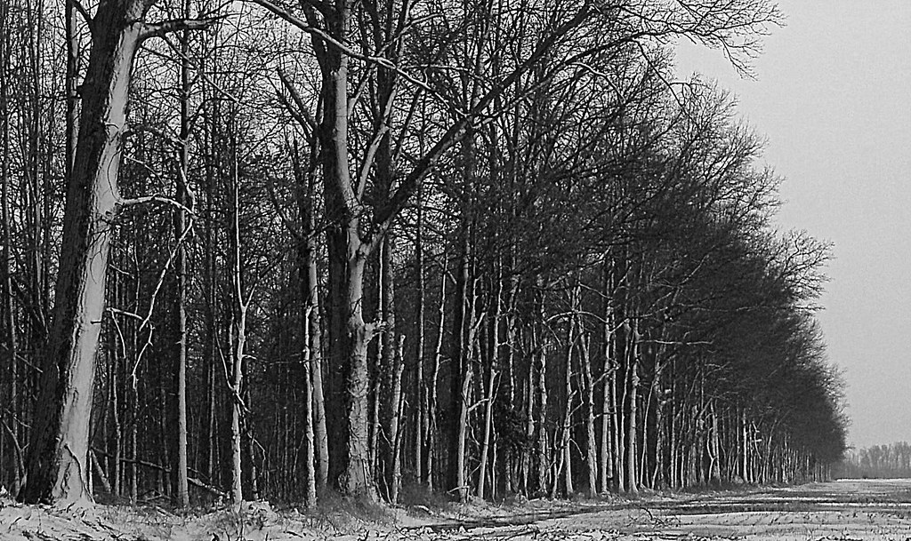
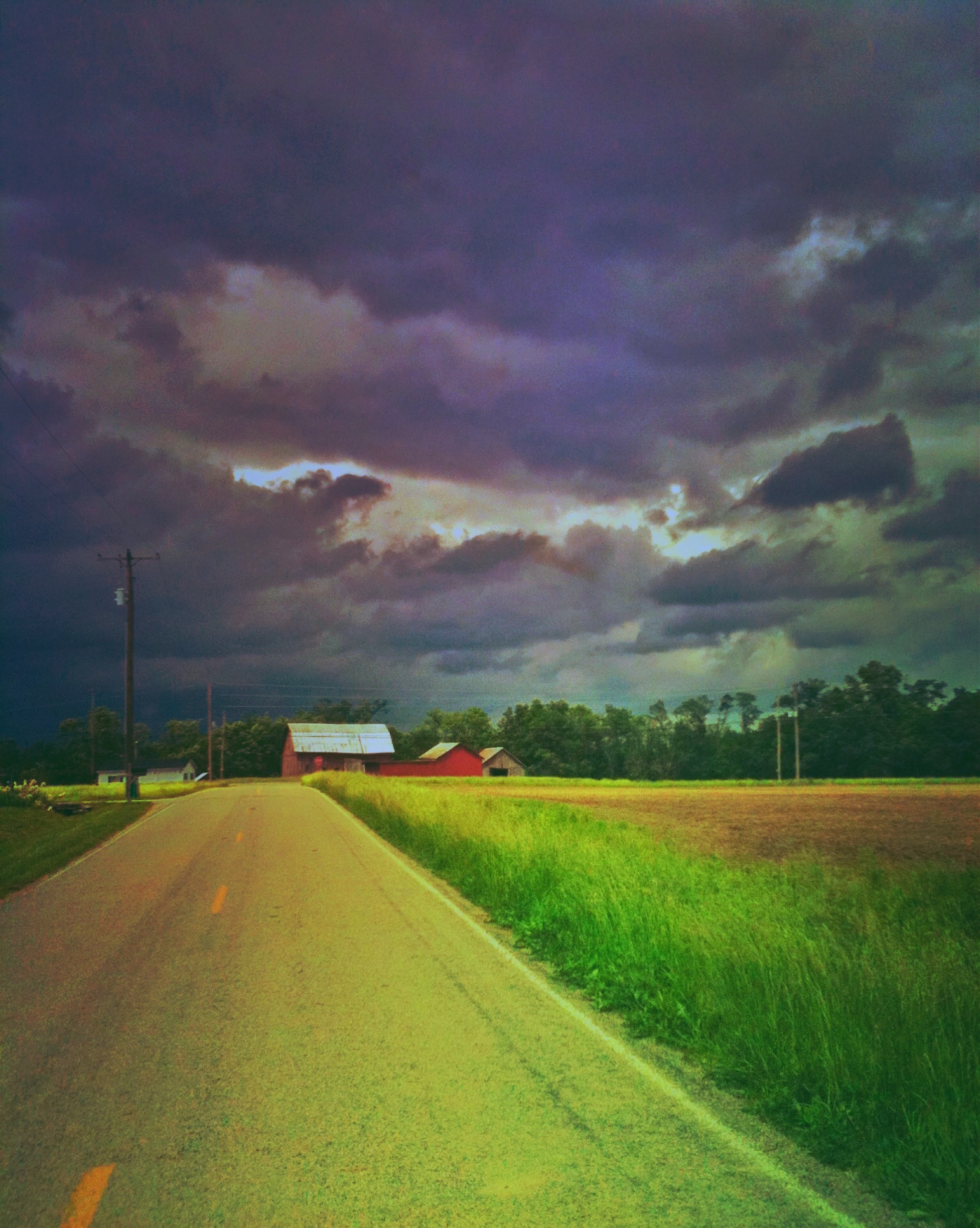
Tree Line, 3-7-2013
East Fork State Park
Topographic Map of S 3rd St, Williamsburg, OH, USA
Find elevation by address:

Places near S 3rd St, Williamsburg, OH, USA:
Williamsburg
Williamsburg Township
Batavia Road
2782 Jackson Pike
Clermont County
Clermont County Engineers Office
Commons Circle Drive
Broadway St, Batavia, OH, USA
Batavia Township
2556 Autumn Ridge
Batavia
2018 St Nicholas Ct
101 E Main St
West Main Street
Stonelick Township
Wright St, Batavia, OH, USA
Clermont County
3961 Oh-132
Goshen Rd, Goshen, OH, USA
OH-, Goshen, OH, USA
Recent Searches:
- Elevation of Corso Fratelli Cairoli, 35, Macerata MC, Italy
- Elevation of Tallevast Rd, Sarasota, FL, USA
- Elevation of 4th St E, Sonoma, CA, USA
- Elevation of Black Hollow Rd, Pennsdale, PA, USA
- Elevation of Oakland Ave, Williamsport, PA, USA
- Elevation of Pedrógão Grande, Portugal
- Elevation of Klee Dr, Martinsburg, WV, USA
- Elevation of Via Roma, Pieranica CR, Italy
- Elevation of Tavkvetili Mountain, Georgia
- Elevation of Hartfords Bluff Cir, Mt Pleasant, SC, USA