Elevation of Woody Rd, Laurel, DE, USA
Location: United States > Delaware > Sussex County > Laurel >
Longitude: -75.485099
Latitude: 38.506501
Elevation: 13m / 43feet
Barometric Pressure: 101KPa
Elevation Map:
Satellite Map:
Related Photos:
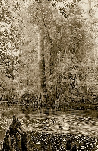
Trees of Trussum - Taken near Trussom Pond and Trap Pond State Park in Laurel, DE

Smith Mining
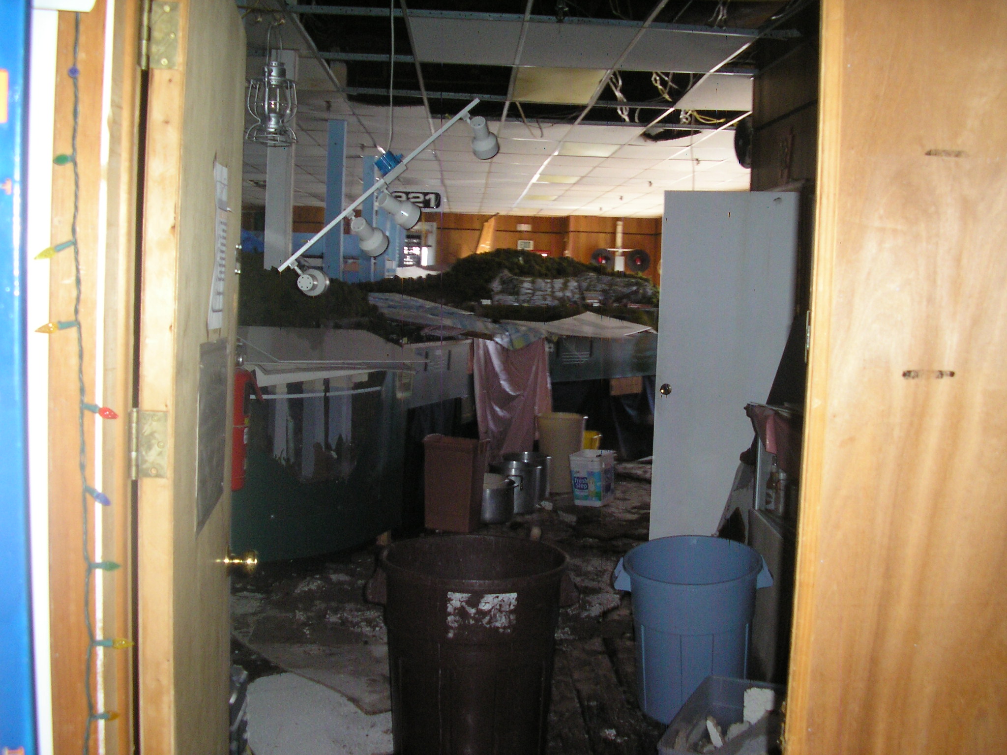
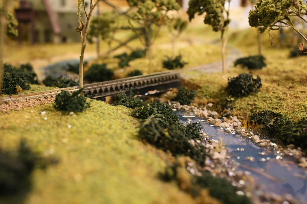
The HO Layout
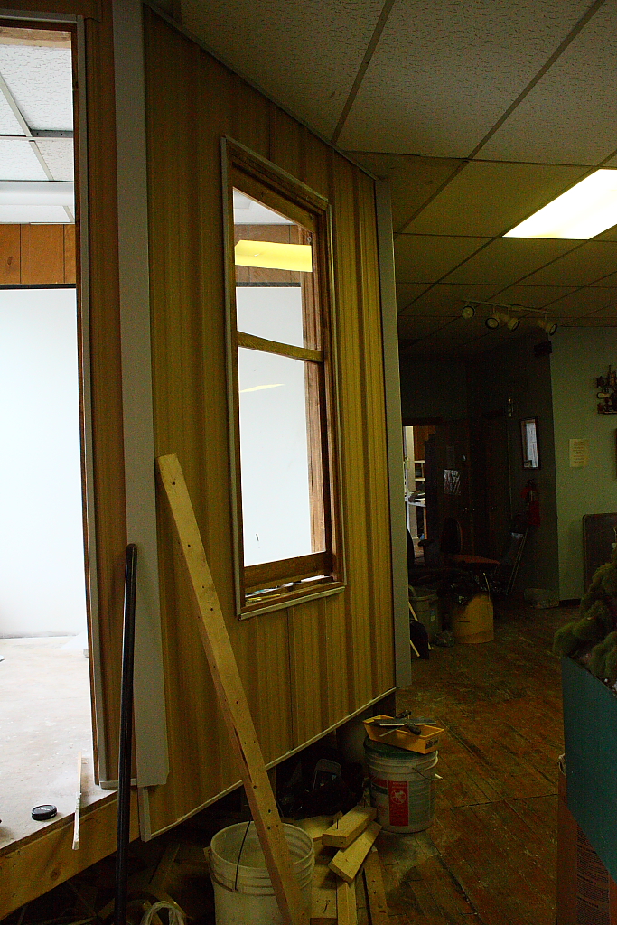
New Dispatcher Tower

Only God can make a tree
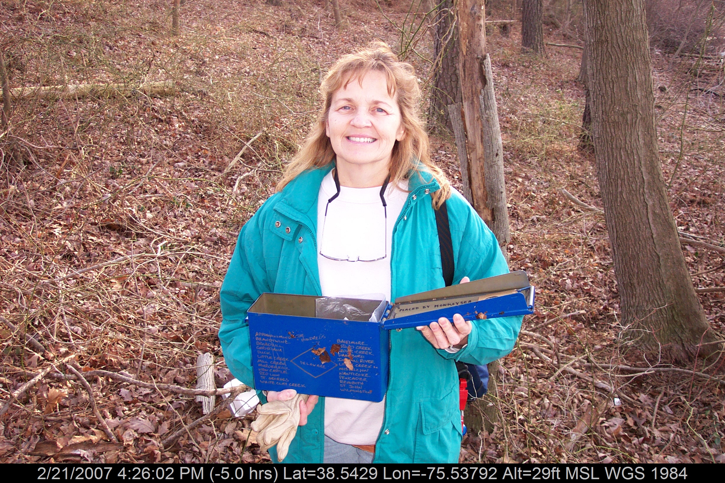
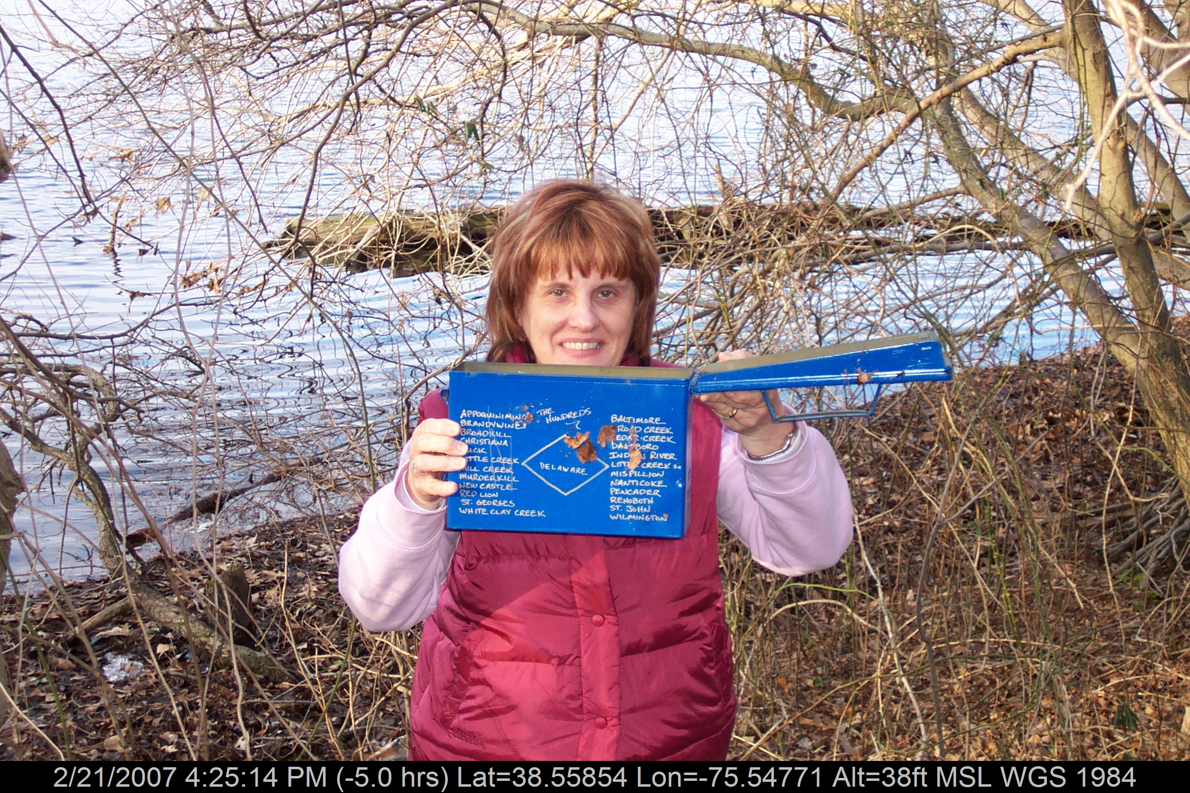
Mrs dinobalz with Broadcreek Hundred Cache

Delaware State Police Tahoe
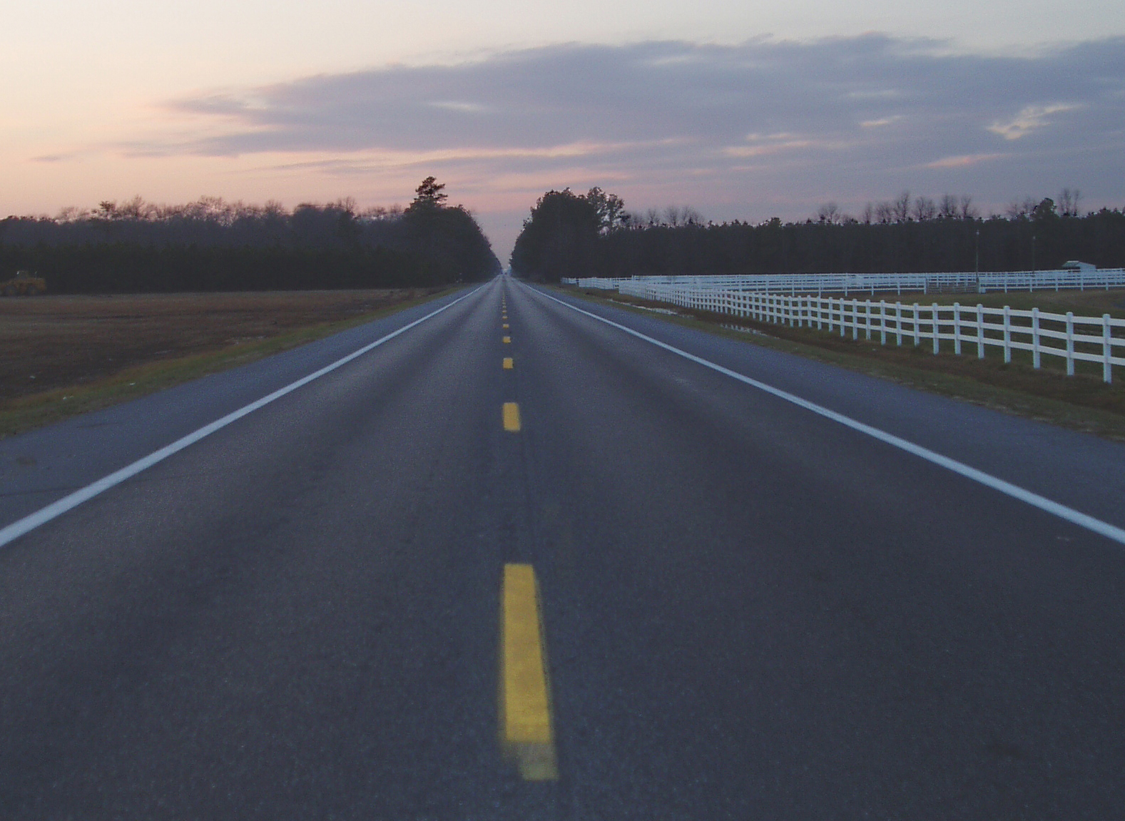
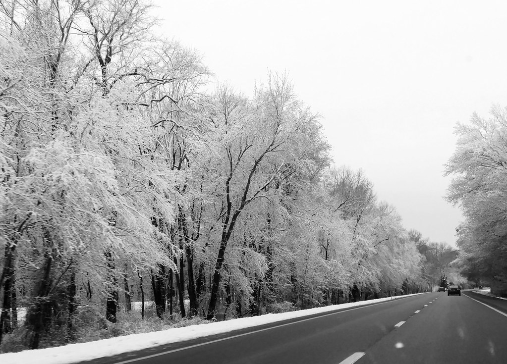
Highway 54, the Line Road

Historic Marker at Broadcreek Hundred

Red Dragon

Messages from Pungoteague
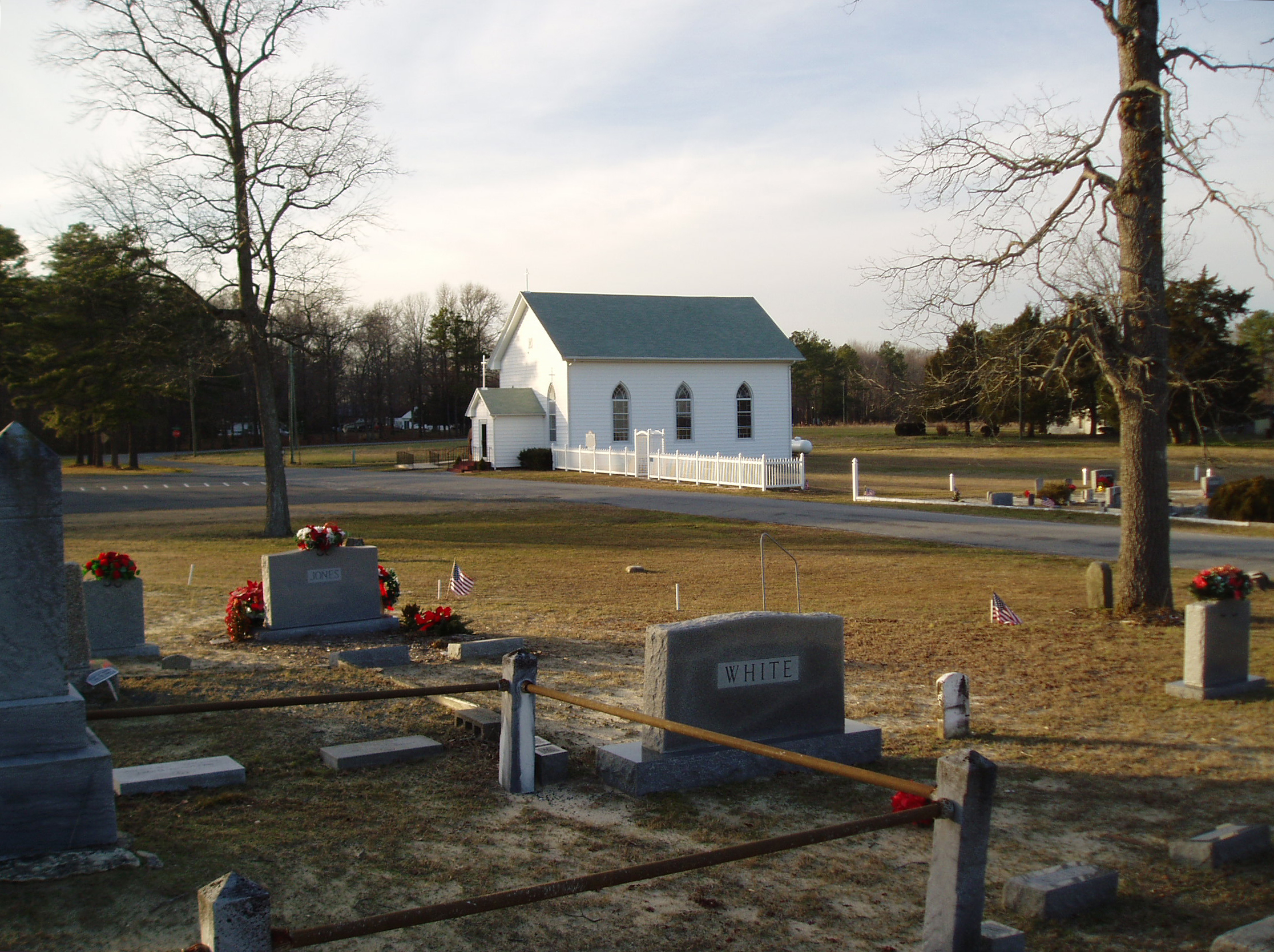
Line U.M. Church
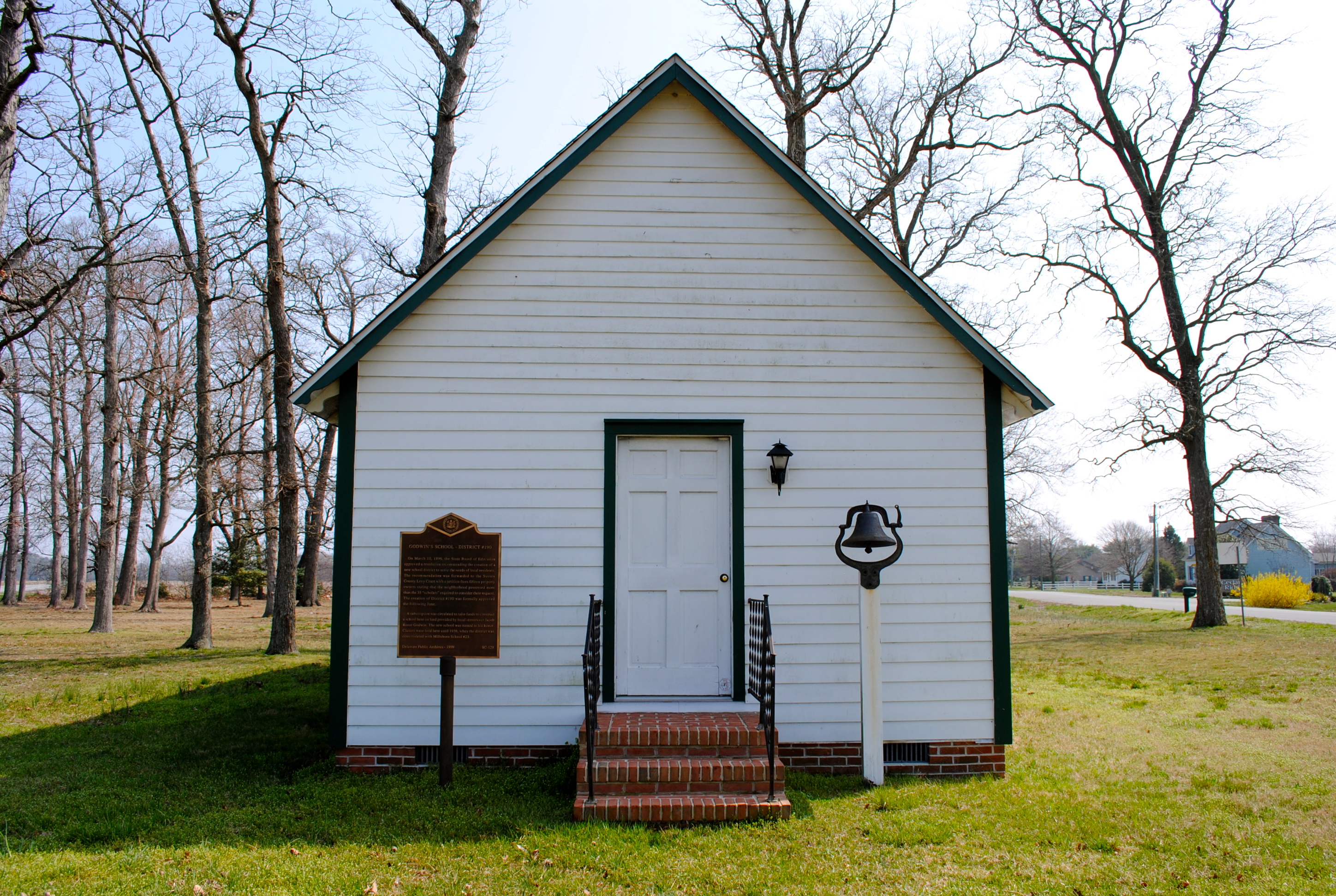
Godwin's School - District #190
Mrs P64 with Broadcreek Hundred Cache

Red-Tailed Hawk
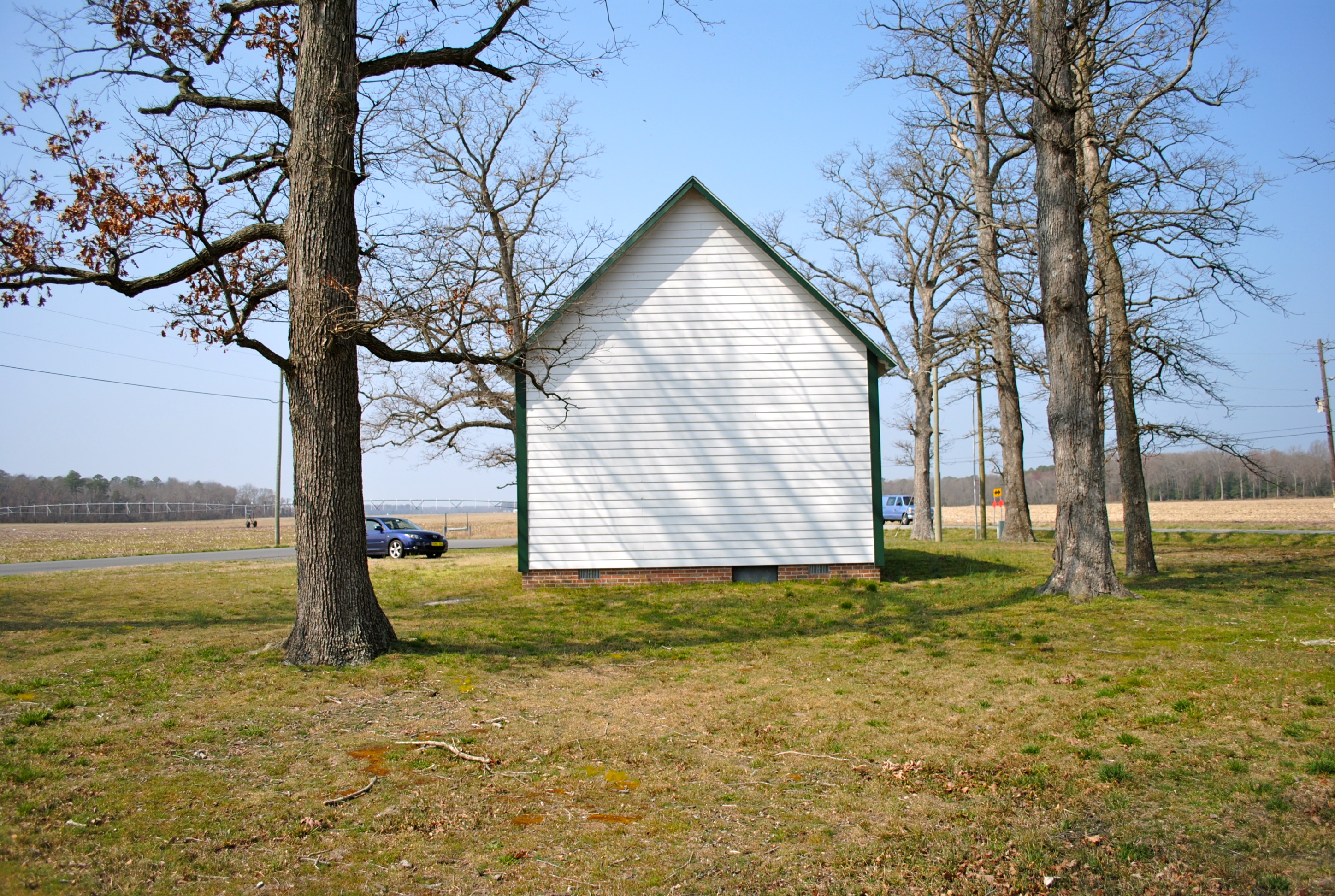
Godwin's School - District #190

Playground...You Know, for Kids!
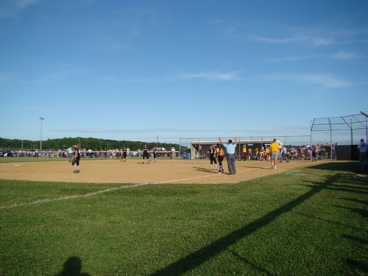
Beyond Right Field at Arthur W. Perdue Stadium -- Salisbury, MD, May 25, 2014
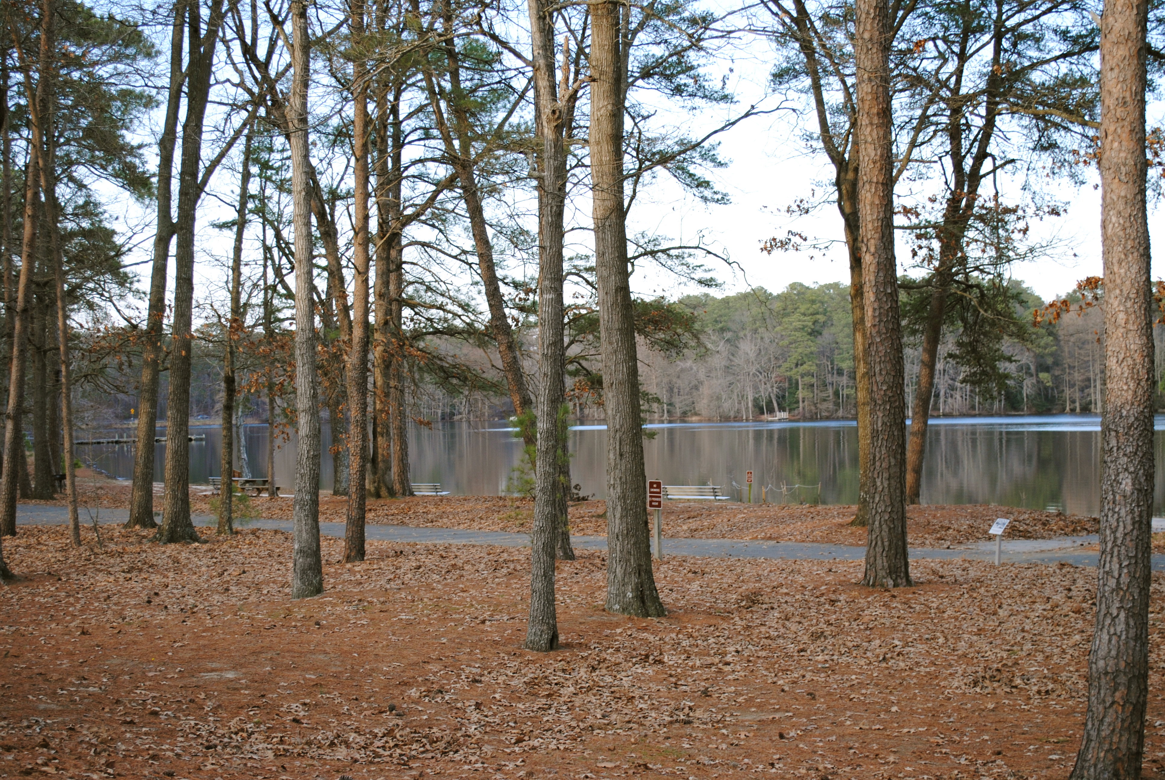
Trap Pond State Park
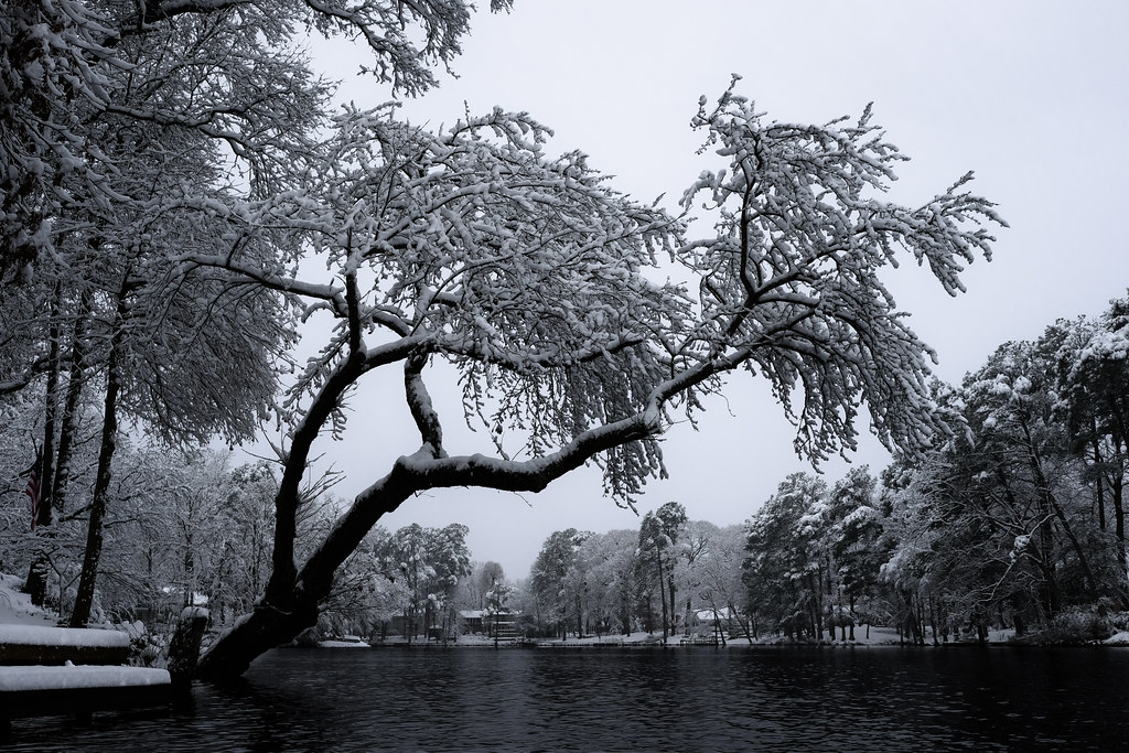
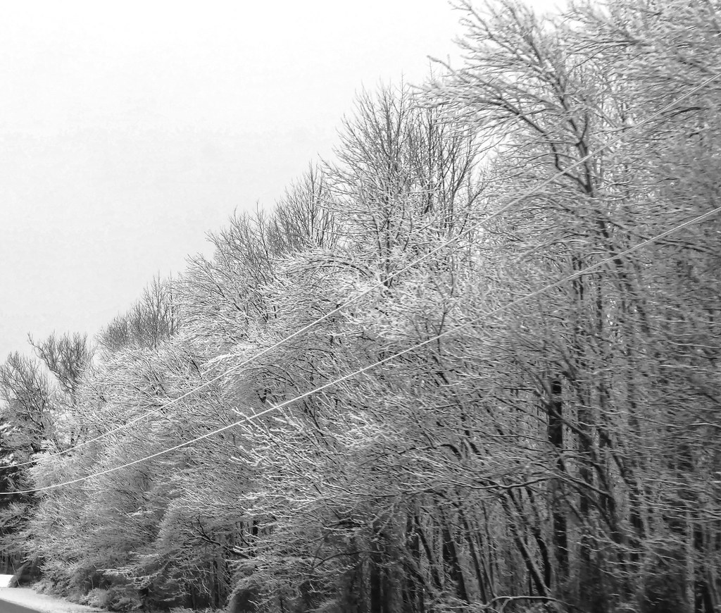
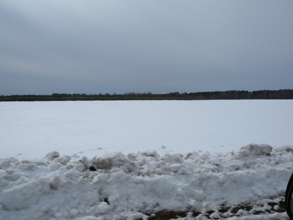
Snow carefully laid on
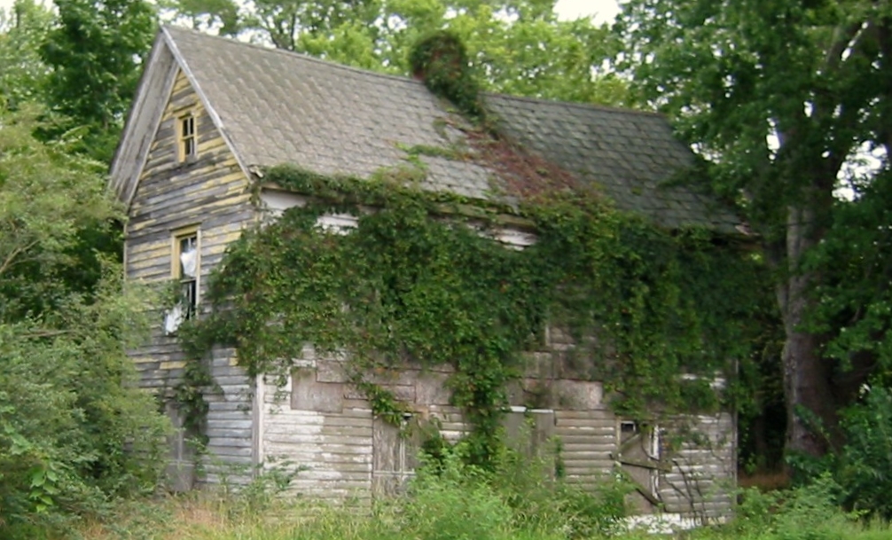
Abandoned home next to RT 346 in Parsonburg, MD - 8/24/2010

Misty Morning Heron
Snowstorm on Delmarva | March 22nd, 2018
That Maple Tree
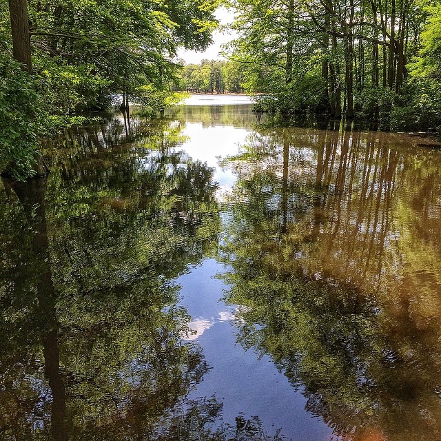
Week 5 of my river
Salisbury, Maryland "Snow in Springtime"

Soda Can Baseball: Round 2
#trappond#delaware #pond
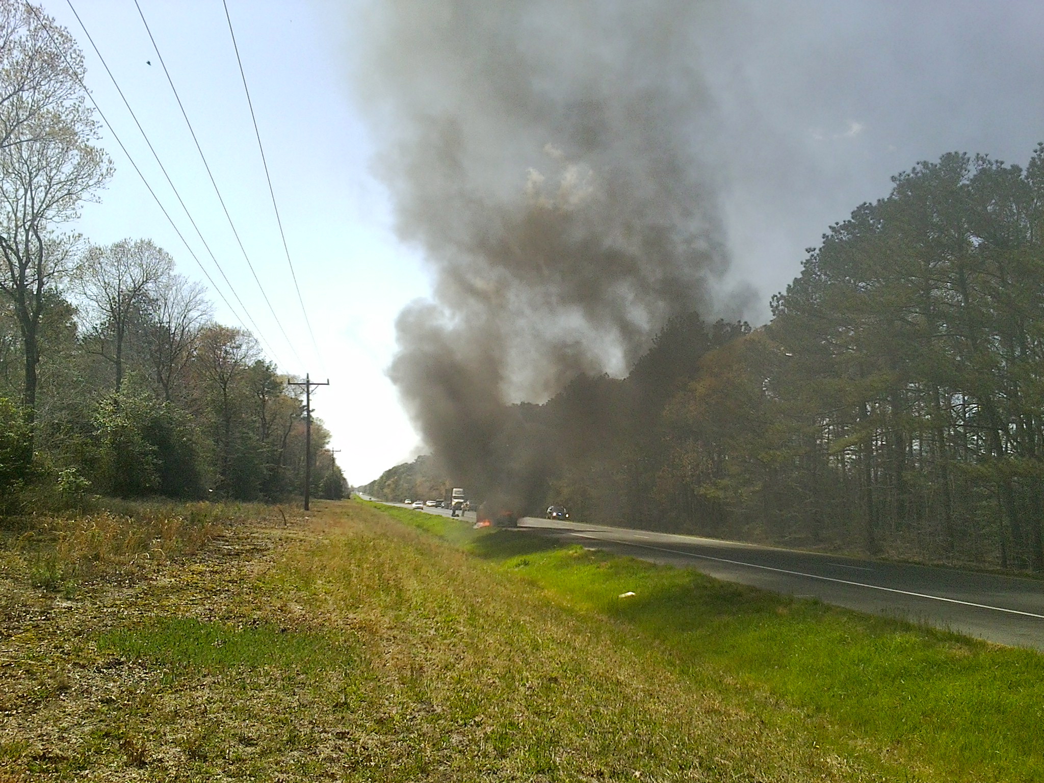
MD Route 50 Truck Fire
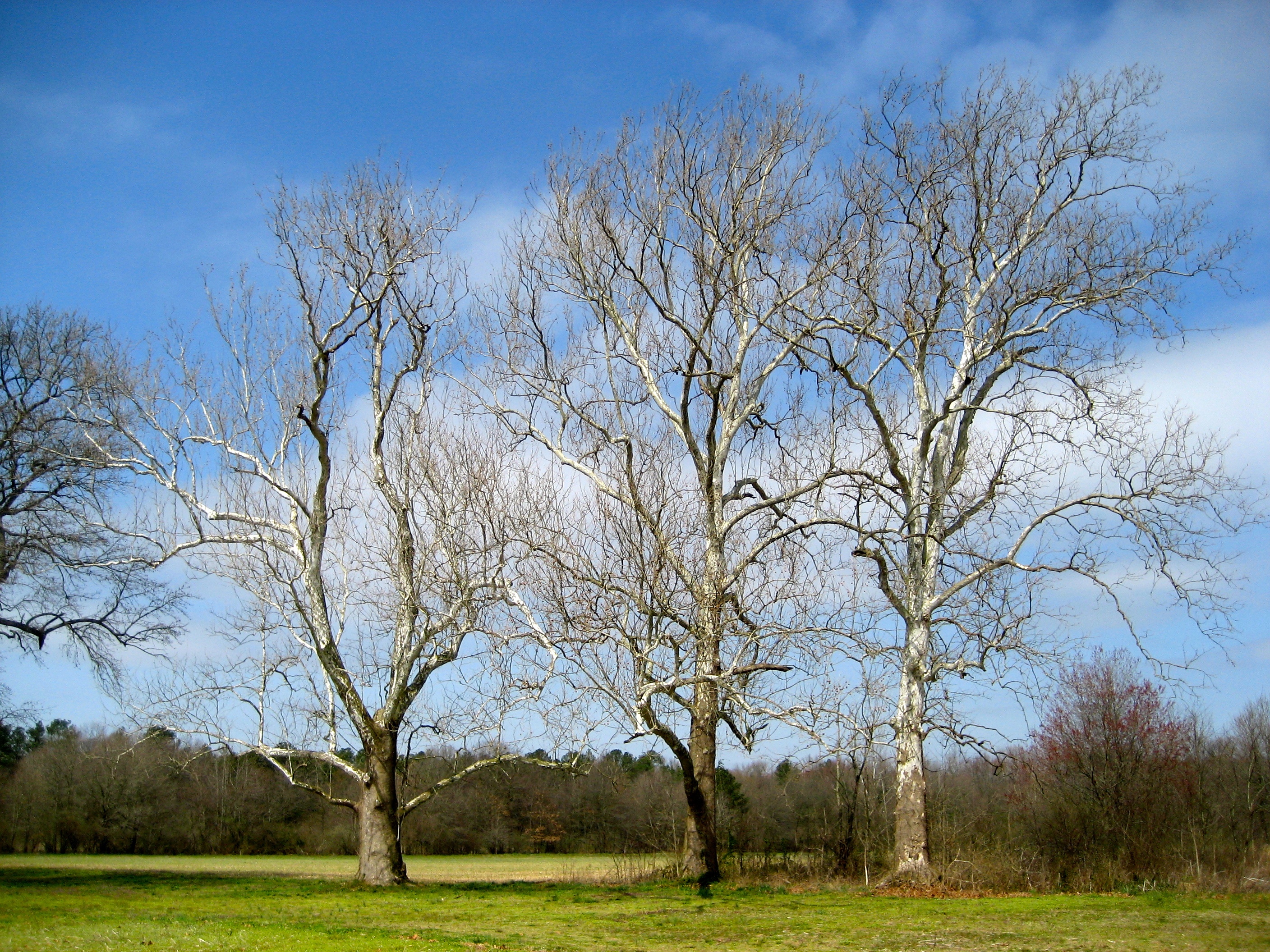
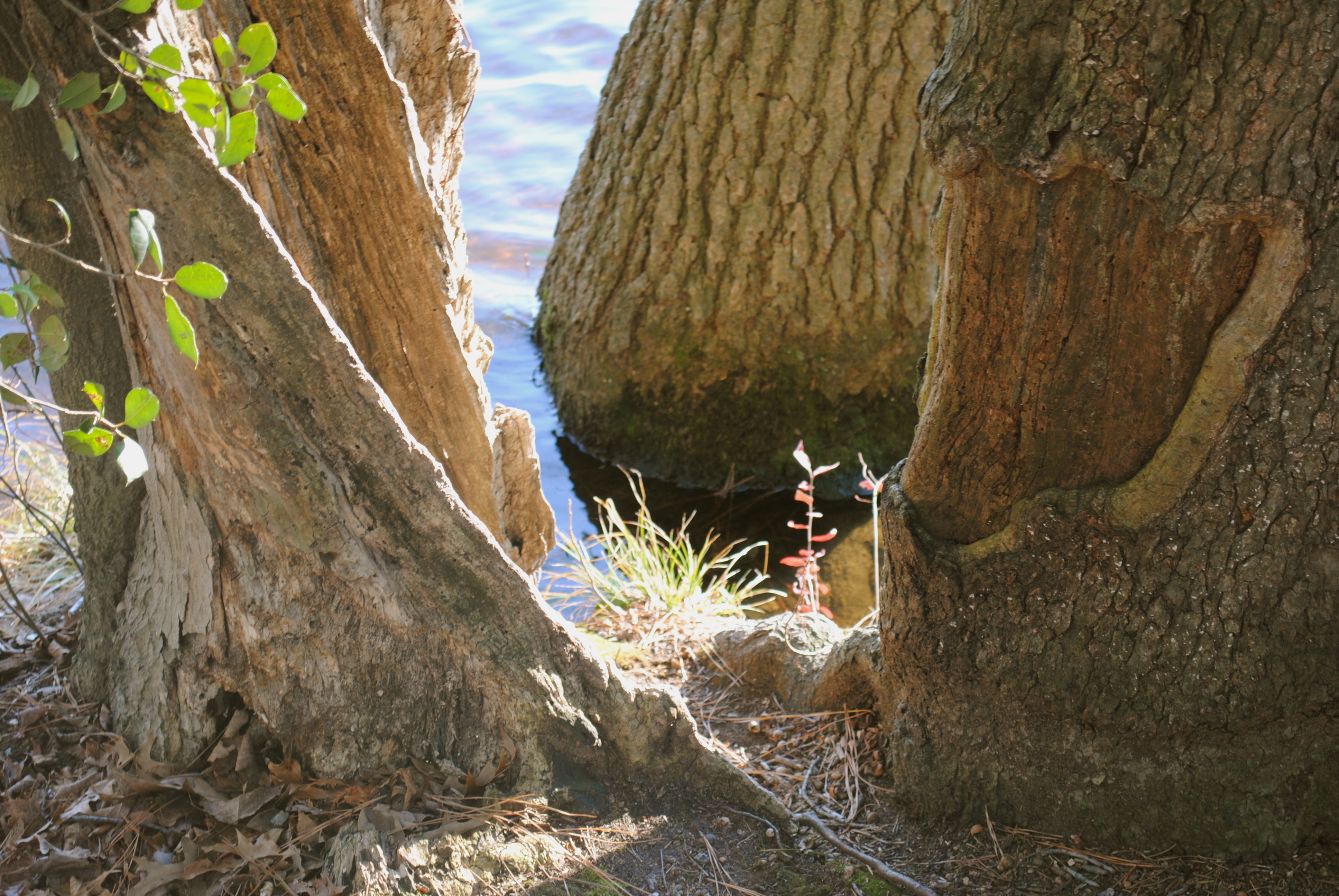
Sycamore trees near Nanticoke River in southwestern Delaware

Records Pond
Trap Pond State Park
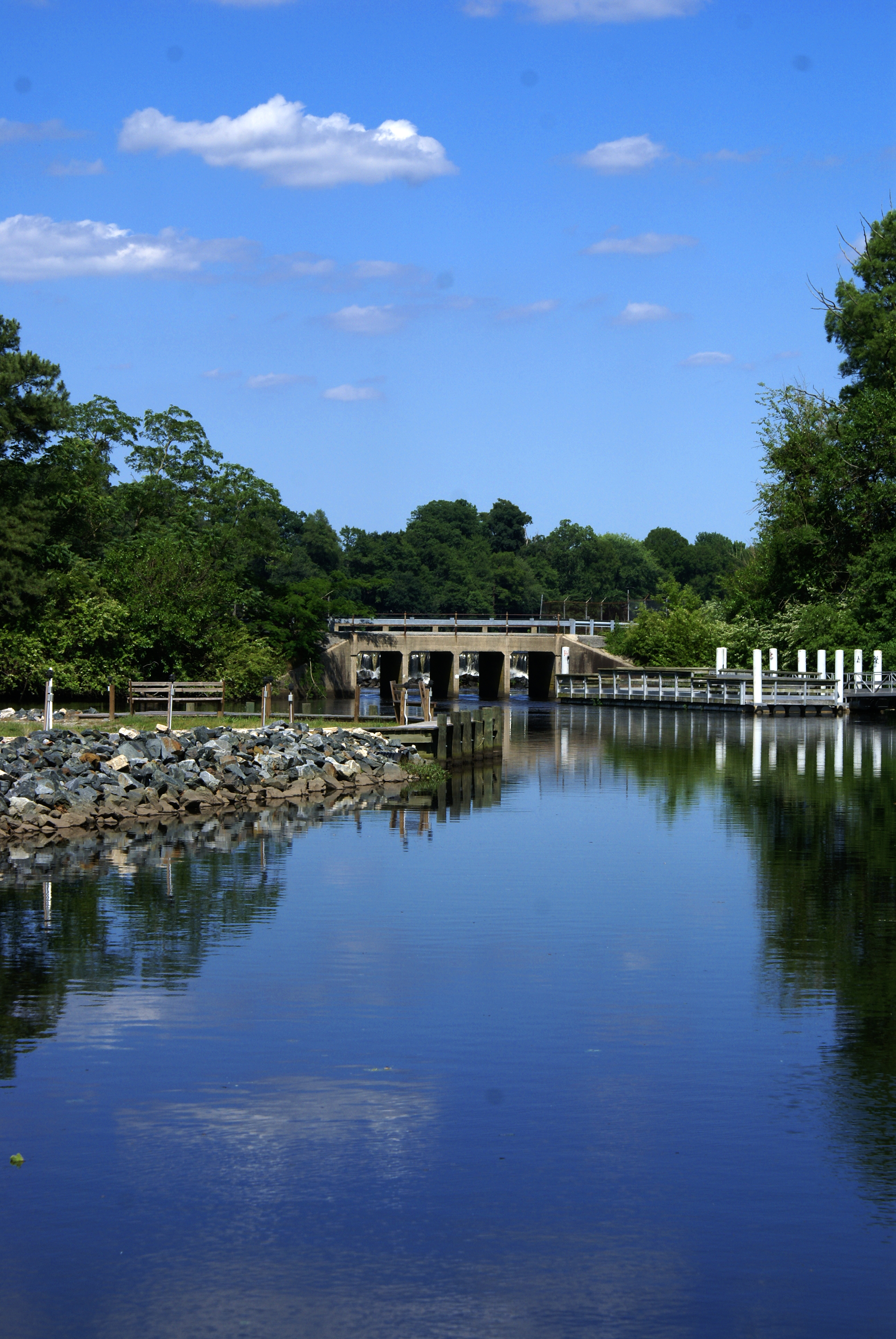
Records Pond Laurel Delaware

Trap Pond State Park
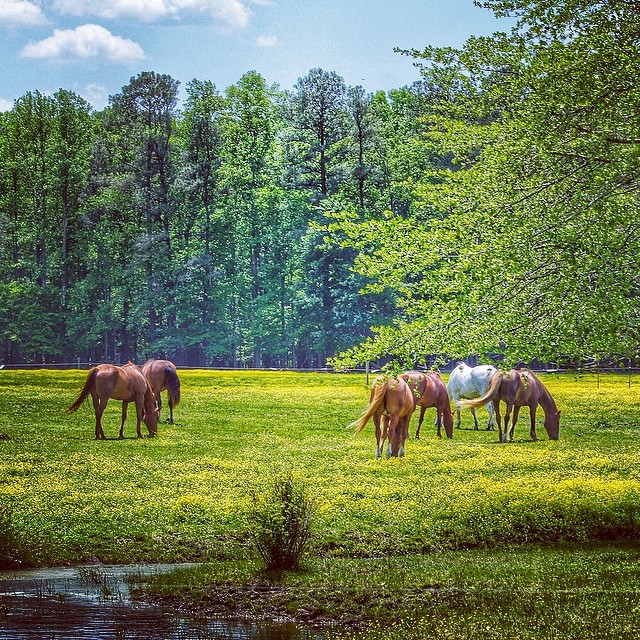
#horse#laurel #delaware

Catch and Release
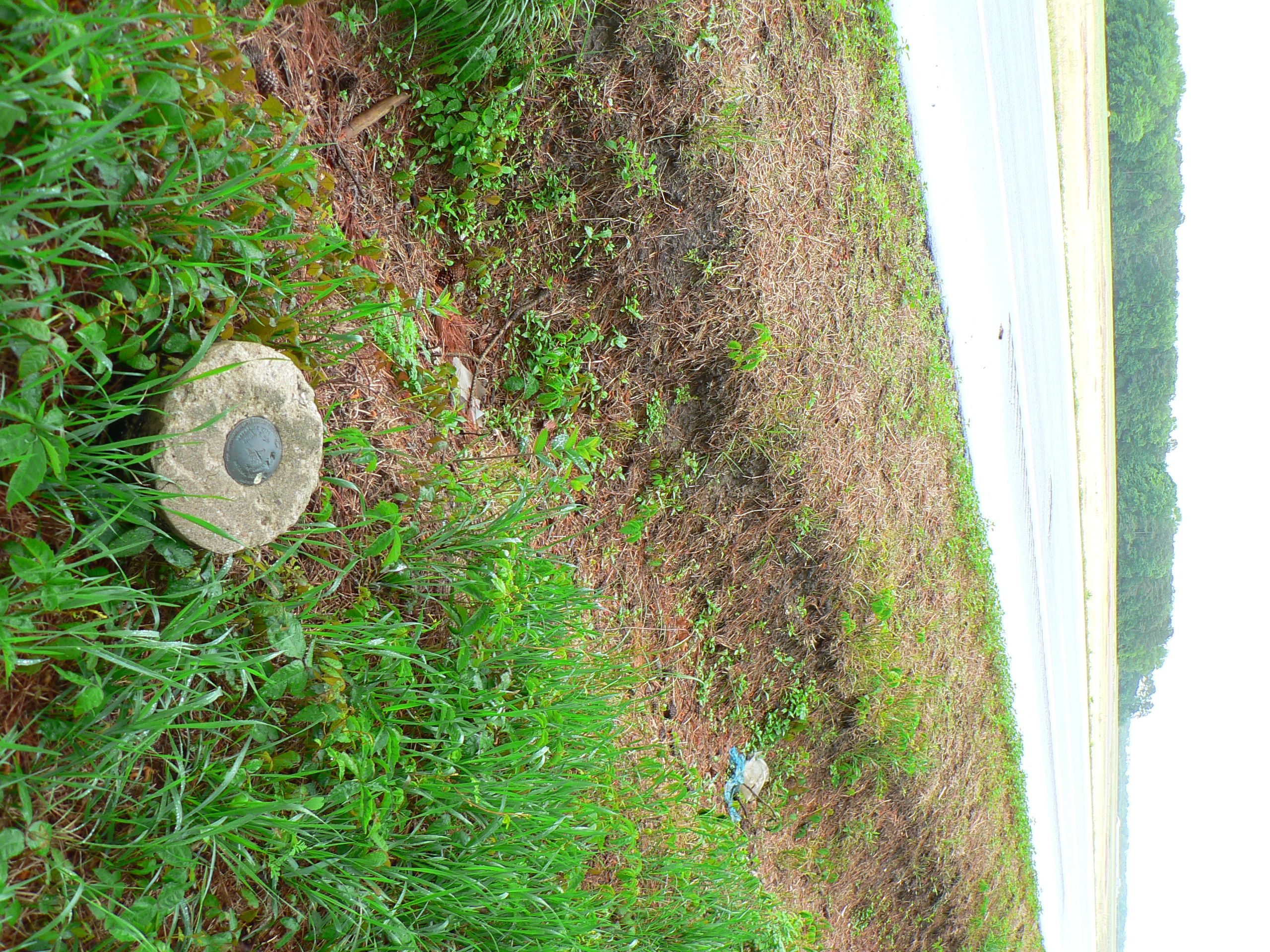
Reference Mark and Boundary Monument
USA_2009-235
DSCN3236.JPG

al's farm
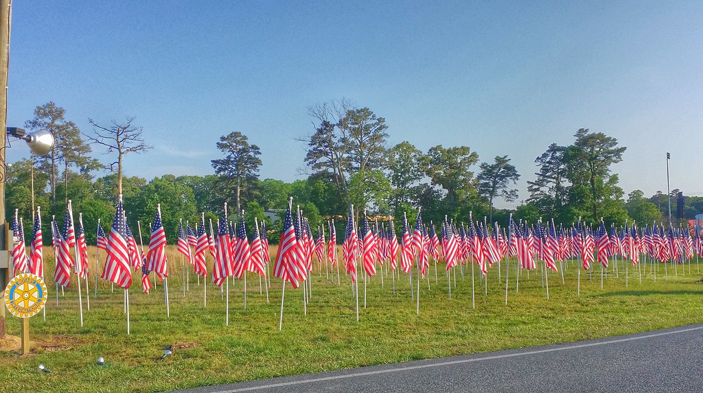
Field of Flags placed in Wicomico County, Maryland
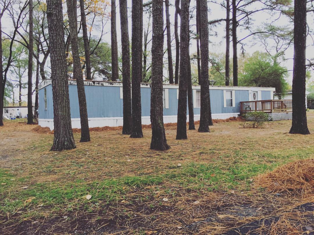
Took a second today to ride by my old neighborhood. I never want to forget where I came from and how hard my grandmother worked to give me the life I have. We may not of had much but we had each other.
Topographic Map of Woody Rd, Laurel, DE, USA
Find elevation by address:

Places near Woody Rd, Laurel, DE, USA:
Wootten Rd, Laurel, DE, USA
Whaleys Rd, Laurel, DE, USA
Careys Camp Rd, Laurel, DE, USA
Laurel Rd, Laurel, DE, USA
Trussum Pond Rd, Laurel, DE, USA
Old Stage Rd, Laurel, DE, USA
Shiloh Church Rd, Laurel, DE, USA
Traci Dr, Laurel, DE, USA
Bi State Blvd, Laurel, DE, USA
33110 Bi State Blvd
Sycamore Rd, Laurel, DE, USA
Curley Dr, Laurel, DE, USA
Beaver Dam Branch Rd, Laurel, DE, USA
Lakeside Dr, Laurel, DE, USA
Carroll Taylor Dr, Laurel, DE, USA
Laurel
Chris Ave, Laurel, DE, USA
109 Dewey St
Jimtown Rd, Laurel, DE, USA
1013 Rd 492
Recent Searches:
- Elevation of Corso Fratelli Cairoli, 35, Macerata MC, Italy
- Elevation of Tallevast Rd, Sarasota, FL, USA
- Elevation of 4th St E, Sonoma, CA, USA
- Elevation of Black Hollow Rd, Pennsdale, PA, USA
- Elevation of Oakland Ave, Williamsport, PA, USA
- Elevation of Pedrógão Grande, Portugal
- Elevation of Klee Dr, Martinsburg, WV, USA
- Elevation of Via Roma, Pieranica CR, Italy
- Elevation of Tavkvetili Mountain, Georgia
- Elevation of Hartfords Bluff Cir, Mt Pleasant, SC, USA