Elevation of Old Stage Rd, Laurel, DE, USA

Location: United States > Delaware > Sussex County > Laurel >

Longitude: -75.550907

Latitude: 38.53277

Elevation: 10m / 33feet

Barometric Pressure: 101KPa

Elevation Map:

elevation map of Old Stage Rd, Laurel, DE, USA

Satellite Map:

Satellite map of Old Stage Rd, Laurel, DE, USA
Related Photos:

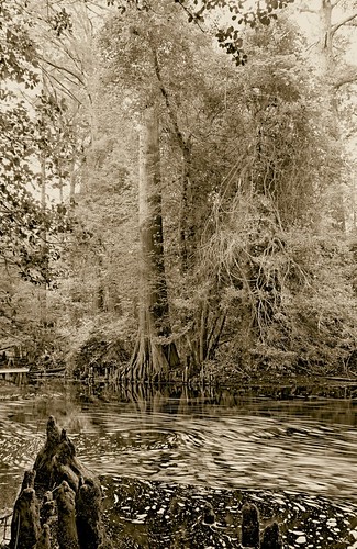
longexposure trees blackandwhite bw water beautiful sepia wow de blackwhite moving pentax patterns bald scenic cypress swirls delaware knees laurel smallwonder pentaxpz1p trappond pz1p delawareonline wowiekazowie trussumpond rockymtns99 laurelde slowerdelaware trussom stjamesbranch lowerdelaware hastingsfamilyreunion jamesbranch
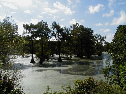
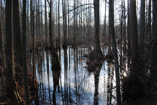
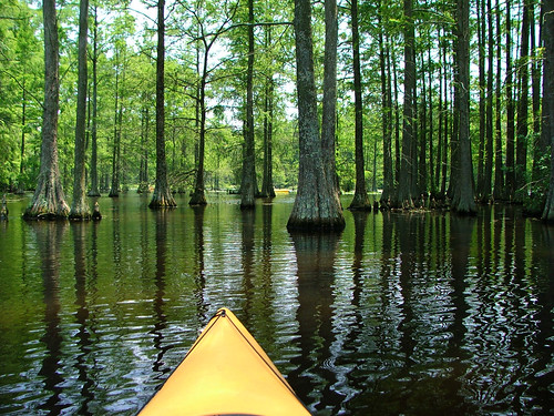
Trees of Trussum - Taken near Trussom Pond and Trap Pond State Park in Laurel, DE
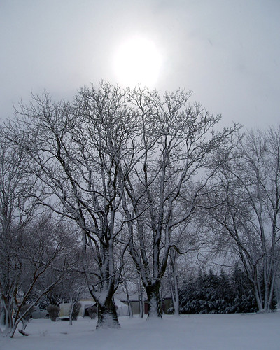
winter snow tree geotagged maryland delmarva
Only God can make a tree
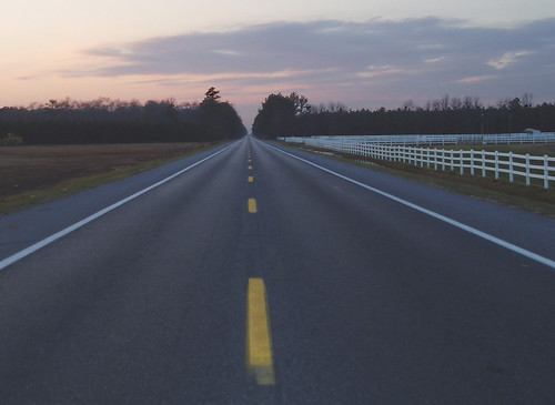
15fav usa topv111 geotagged interestingness highway border maryland scene easternshore explore delaware parallax boundary stateline delmarva transpeninsular
Highway 54, the Line Road
red insect dragonfly reddragonfly trappond autumnmeadowhawk
Red Dragon
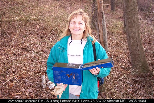
geotagged geo:lat=385330853333333 geo:lon=75529854
Mrs dinobalz with Broadcreek Hundred Cache
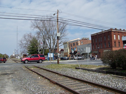
railroad track maryland easternshore delaware delmar
State Line
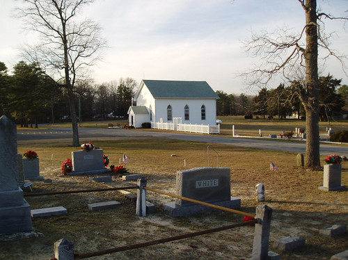
usa church cemetery topv111 geotagged border maryland scene easternshore delaware methodist boundary stateline delmarva transpeninsular
Line U.M. Church
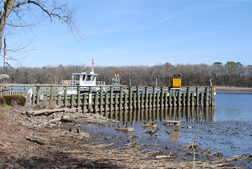
water ferry river pier boat dock shoreline delaware nanticoke cableferry nanticokeriver sussexcountyde tinafallon woodlandferry
Woodland Ferry
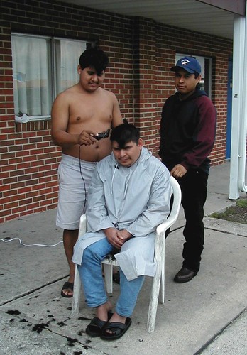
haircut topv111 geotagged mexican barber migrant
Improvised Barber Shop
geotagged 400 delaware chesapeake delmarva johnsmith shallop
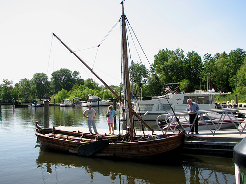
Replica of Captain John Smith's shallop
Playground...You Know, for Kids!
geotagged geo:lat=385595273333333 geo:lon=755537703333333
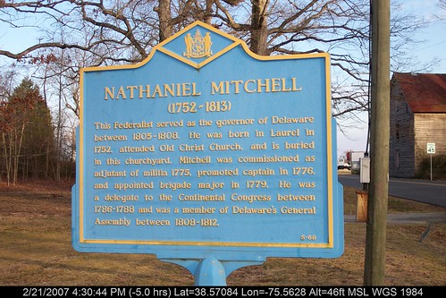
Historic Marker at Broadcreek Hundred
old red church historic marker delaware nationalregisterhistoricplaces laurelde sussexcountyde oldchristchurchlaureldelaware
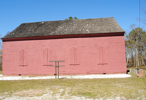
Old Christ Church - Laurel, Delaware
statepark park camping nature forest de outside outdoors pond woods hiking trails trail cypress delaware delawarestatepark baldcypresstrees laurelde trappondstatepark sussexcountyde
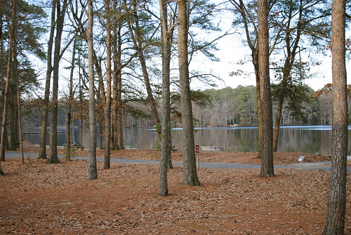
Trap Pond State Park
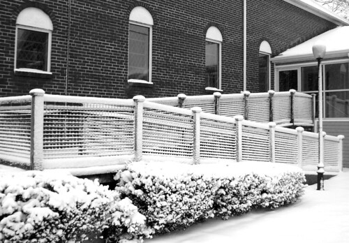
winter bw snow geotagged maryland delmarva
Snow carefully laid on
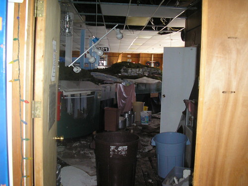
railroad storm rain club model flood wind damage delmarva dmrc dmrrc
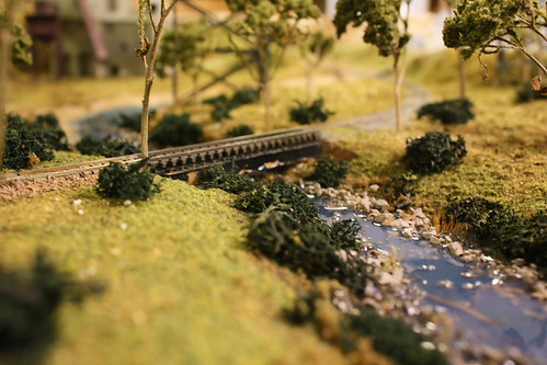
The HO Layout
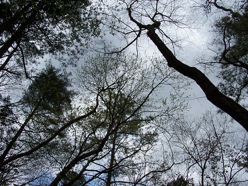
sky tree forest woodland woods
Our backyard-- worm's eye view
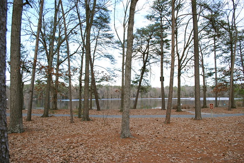
statepark park camping nature forest de outside outdoors woods hiking trails trail cypress delaware delawarestatepark baldcypresstrees laurelde trappondstatepark sussexcountyde
Trap Pond State Park
geotagged delaware delmarva
Trussum Pond
red orange black yellow turtle reptile trappond
Ahhhhhhh Sunning
tree water ferry river pier boat dock delaware nanticoke cableferry nanticokeriver sussexcountyde tinafallon woodlandferry
Woodland Ferry
square squareformat hudson iphoneography instagramapp uploaded:by=instagram
Hiking with Max today.
square squareformat hudson iphoneography instagramapp uploaded:by=instagram
#delaware #field#spring #wildflower #yellow #laurel
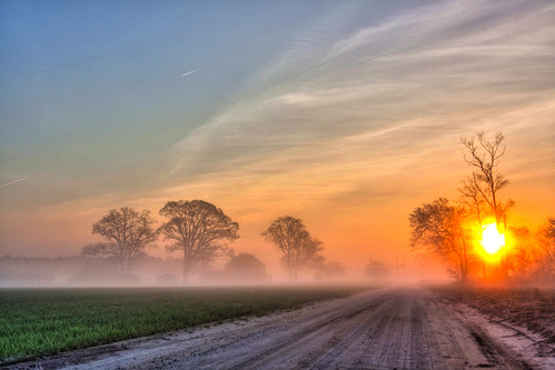
road morning blue trees sun mist tree field misty fog clouds sunrise canon early spring md lowlight cloudy country foggy maryland easternshore shore salisbury dirtroad eastern backroad hdr highdynamicrange atmospheric countryroad sunray eastcoast delmarva easternshoreofmaryland earlymorningmist wicomico canon50d countryrd shoredelmarvaeastern
Country Road
unitedstates conservation science environment restoration delaware monitoring partnership hatchery restocking nanticokeriver americanshad geocity geo:country=unitedstates otherkeywords camera:make=canon exif:make=canon camera:model=canoneos5dmarkii geostate exif:model=canoneos5dmarkii chesapeakebayprogram exif:lens=ef24105mmf4lisusm exif:focallength=24mm exif:aperture=ƒ40 exif:isospeed=100
Upper Nanticoke River in Delaware looking north
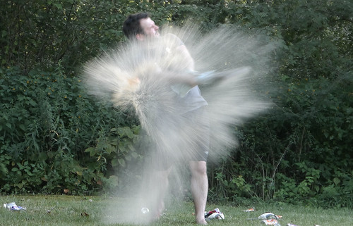
Soda Can Baseball: Round 2
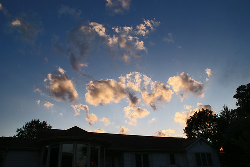
Backlit Clouds
square squareformat hudson iphoneography instagramapp uploaded:by=instagram
#laurel#delaware #clouds
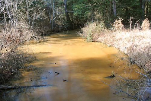
statepark park stream delaware laurel dirtywater laurelde trappondstatepark sussexcountyde
Trap Pond State Park
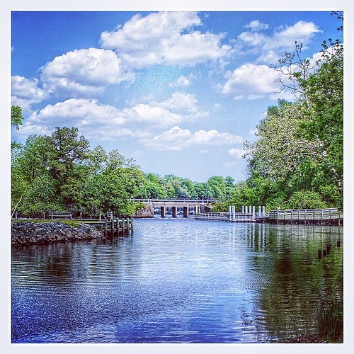
square squareformat iphoneography instagramapp uploaded:by=instagram
#trappond#delaware #pond
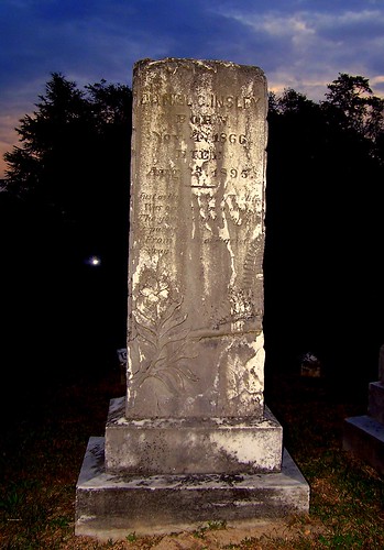
Ornate headstone
statepark park tree forest woods delaware baldcypresstrees laurelde trappondstatepark sussexcountyde
Trap Pond State Park
Sharptown Planting After
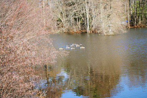
statepark park bird water geese pond goose delaware laurel laurelde trappondstatepark sussexcountyde
Trap Pond State Park
Sharptown Planting After
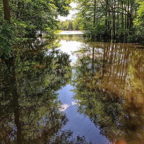
statepark park trees tree water pond cypress delaware baldcypresstrees watertrail treeinwater laurelde trappondstatepark sussexcountyde
Trap Pond State Park
may delaware 2008 sussexcounty baldcypress taxodiumdistichum trappondstatepark familycupressaceae
Cypress Trees at Trap Pond
train de delaware delmar dmrc delmarvamodelrailroadclub dmrrc
Week 5 of my river
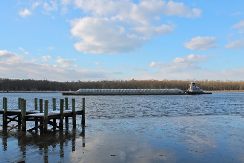
winter river pier boat dock maryland easternshore tow barge nanticoke sharptown
Passing By
statepark park trees tree forest pond woods ramp delaware boatramp laurelde trappondstatepark sussexcountyde
Trap Pond State Park
statepark park bird birds geese delaware laurel laurelde trappondstatepark sussexcountyde
Trap Pond State Park
old church historic delaware laurel sussexcountyde bethesdamethodistepiscopalchurch
Bethesda Methodist Episcopal Church, Laurel, Delaware