Elevation of Bi State Blvd, Laurel, DE, USA
Location: United States > Delaware > Sussex County > Laurel >
Longitude: -75.570407
Latitude: 38.5249809
Elevation: 11m / 36feet
Barometric Pressure: 101KPa
Elevation Map:
Satellite Map:
Related Photos:
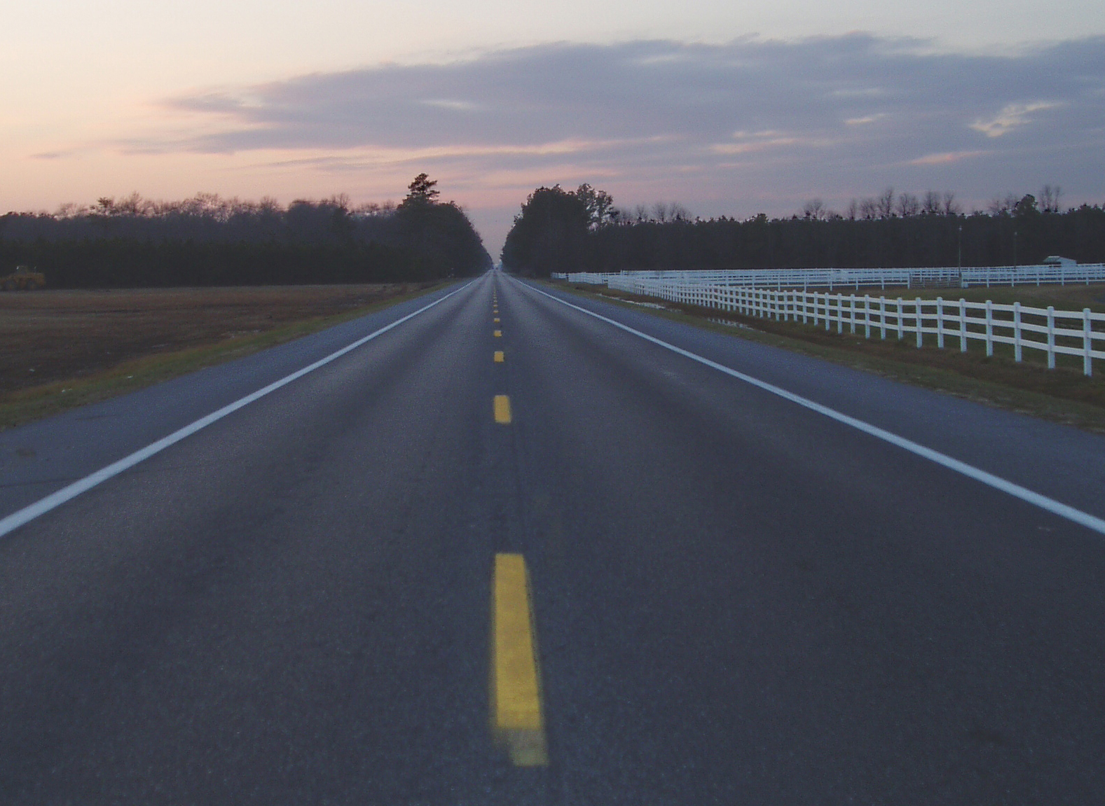
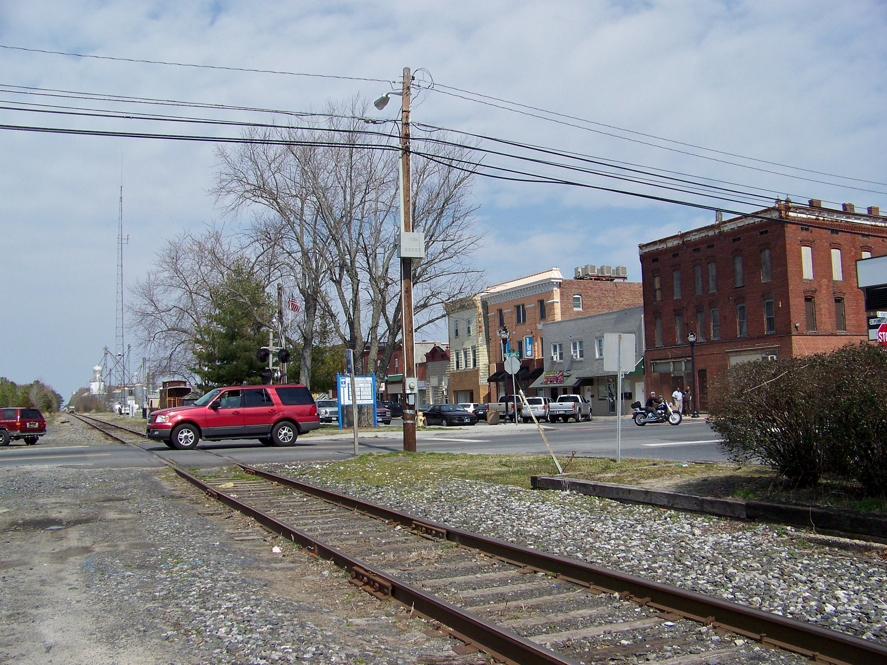
Highway 54, the Line Road
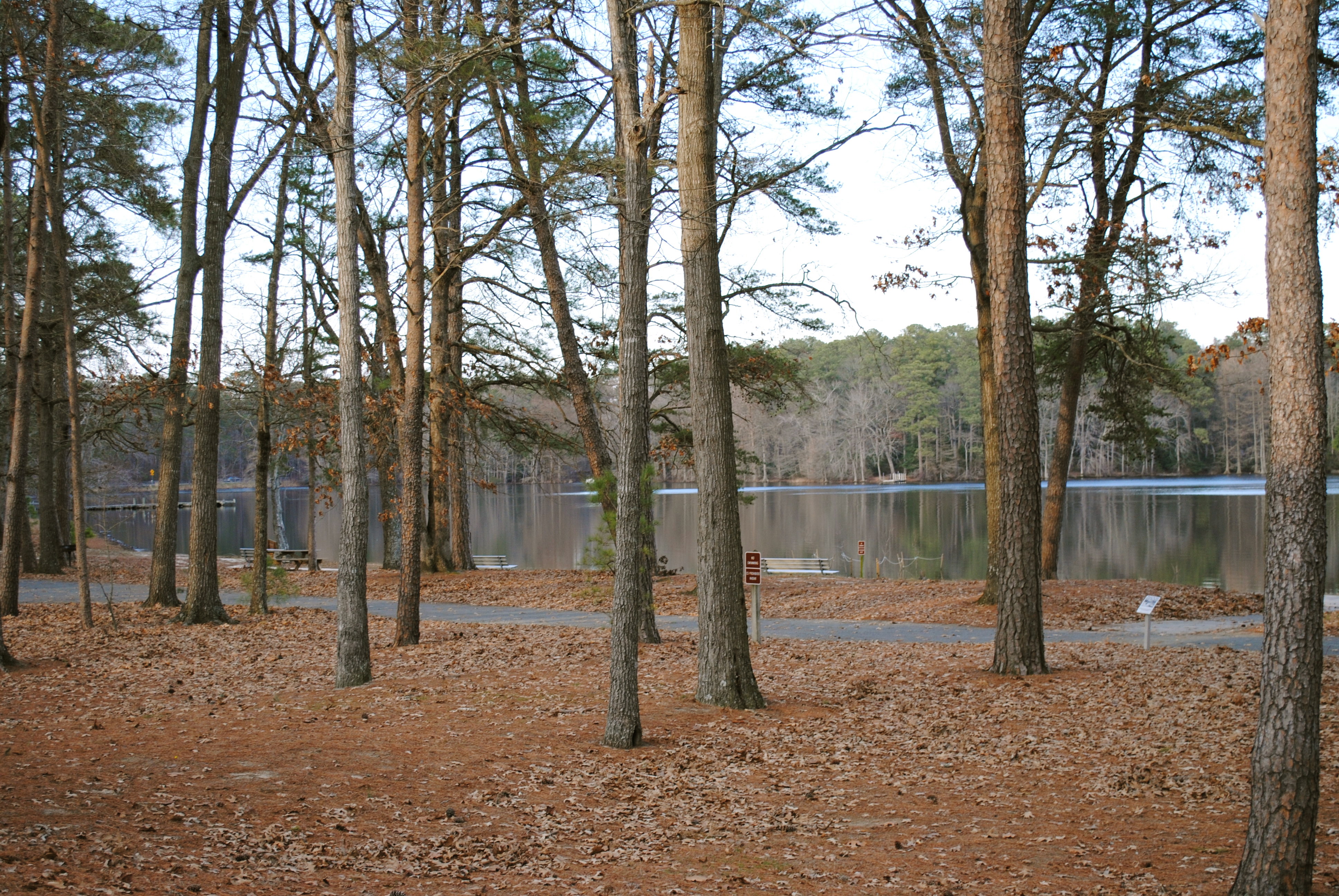
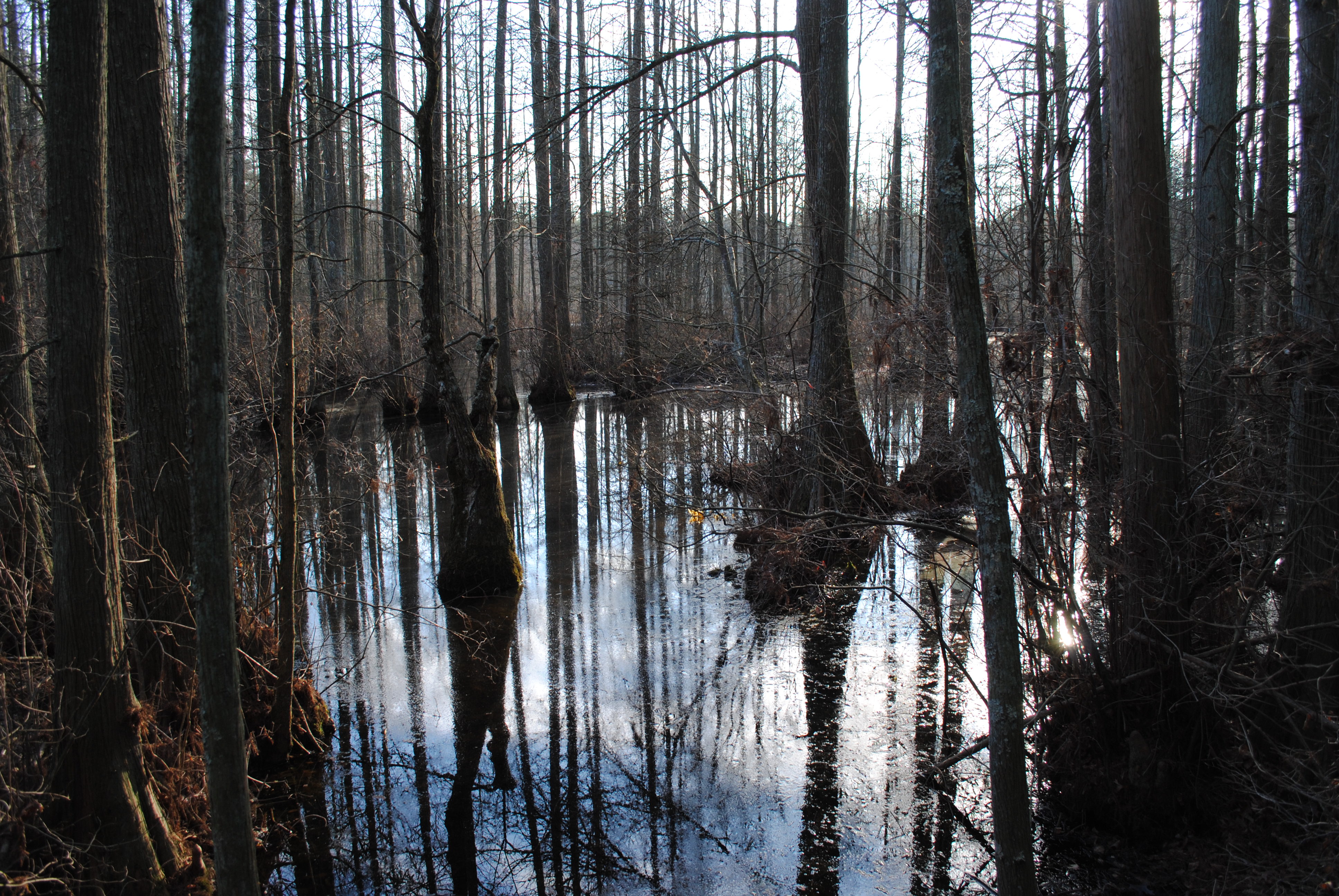
Trap Pond State Park
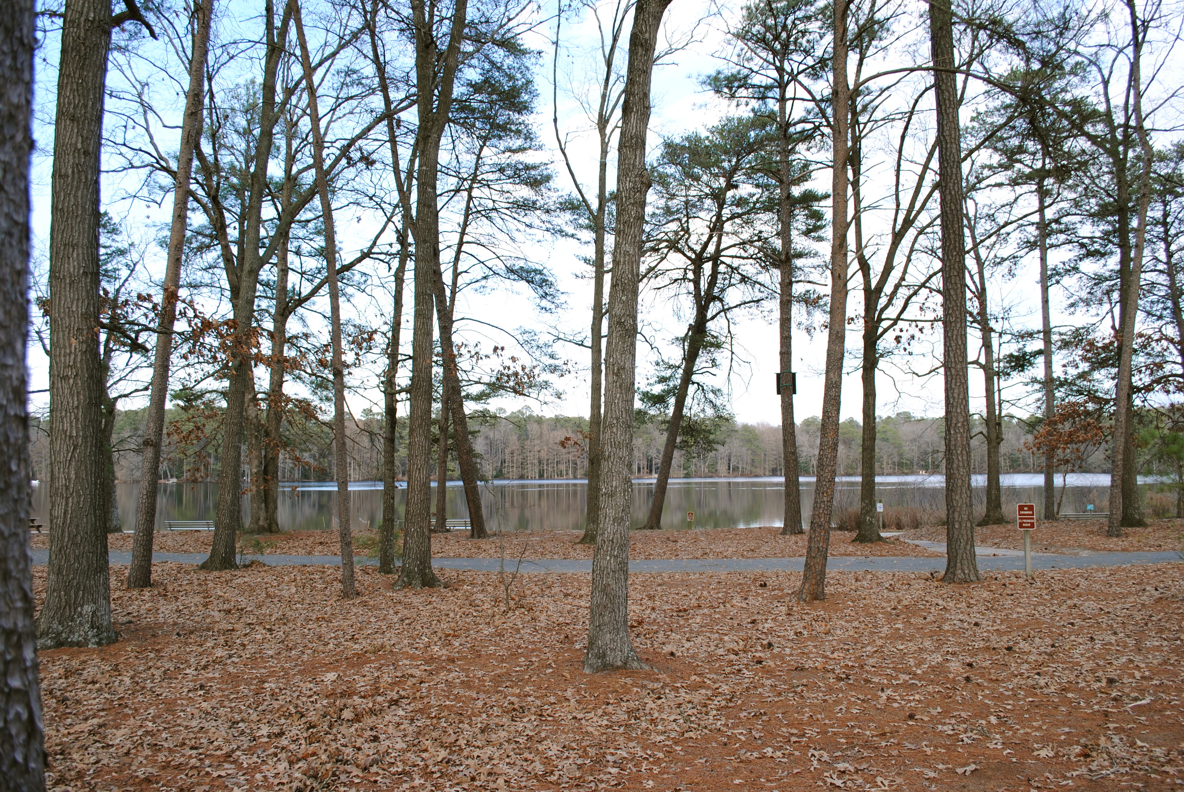
Trap Pond State Park

2012-09-01 Tricolored Heron 7812

Smith Mining
Trees of Trussum - Taken near Trussom Pond and Trap Pond State Park in Laurel, DE

Only God can make a tree
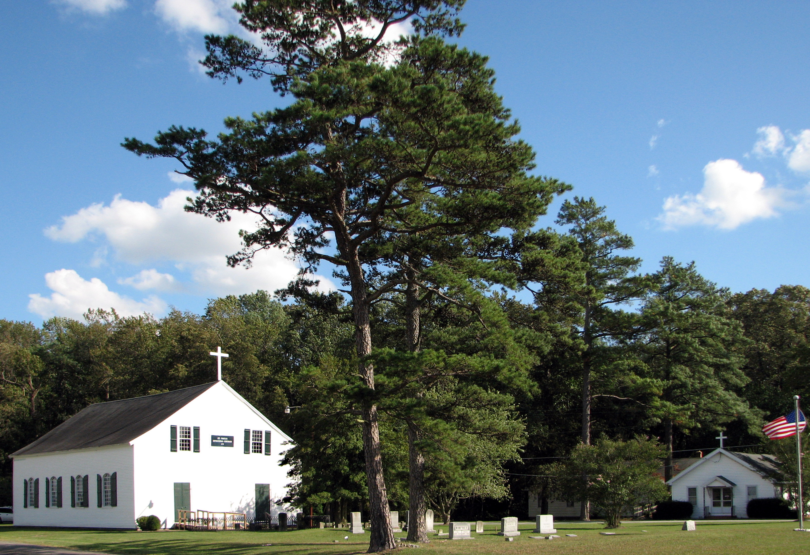
St. Paul's Episcopal Church, "Old Spring Hill"
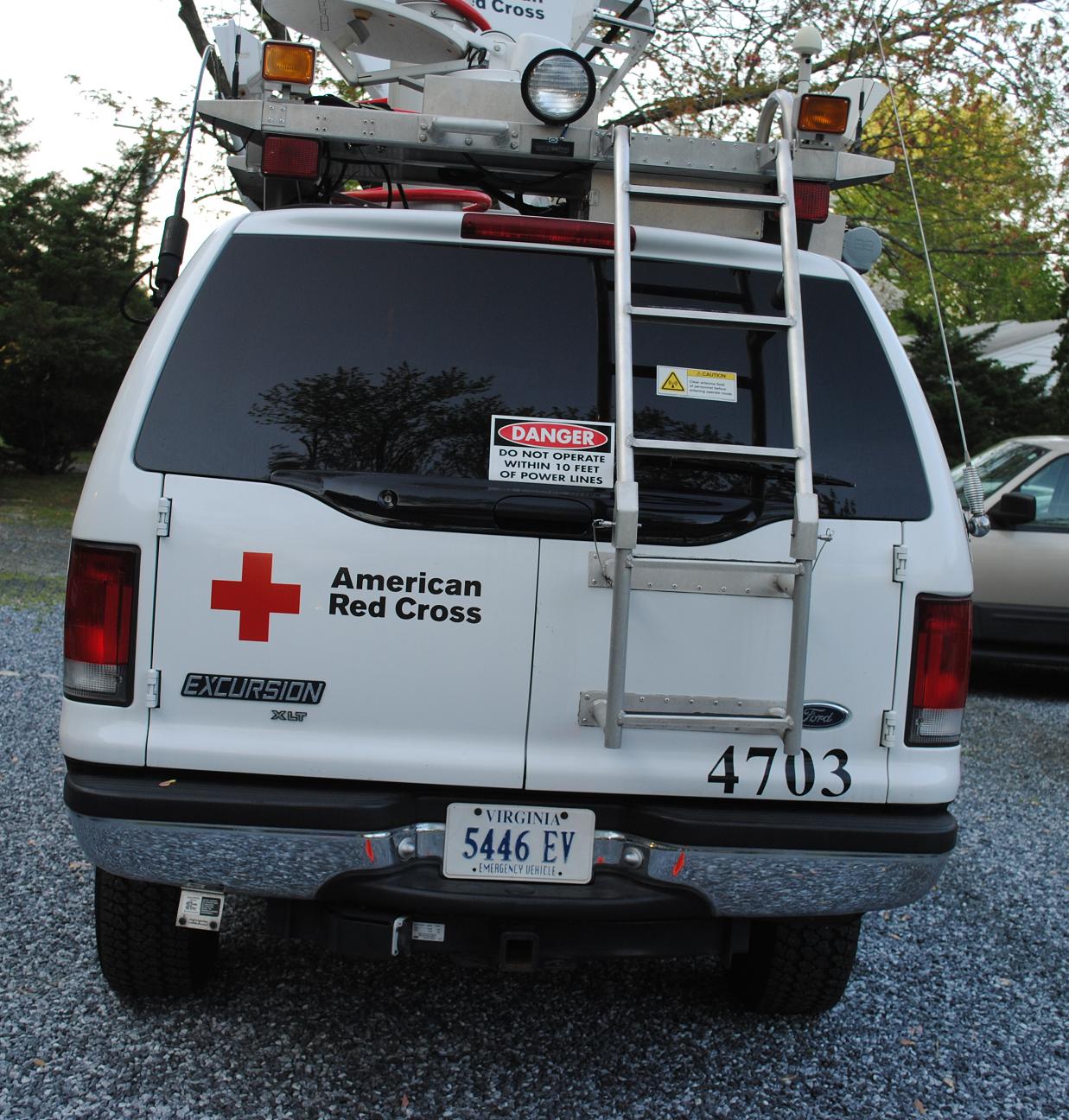
Emergency Communications Response Vehicle (ECRV) 4703
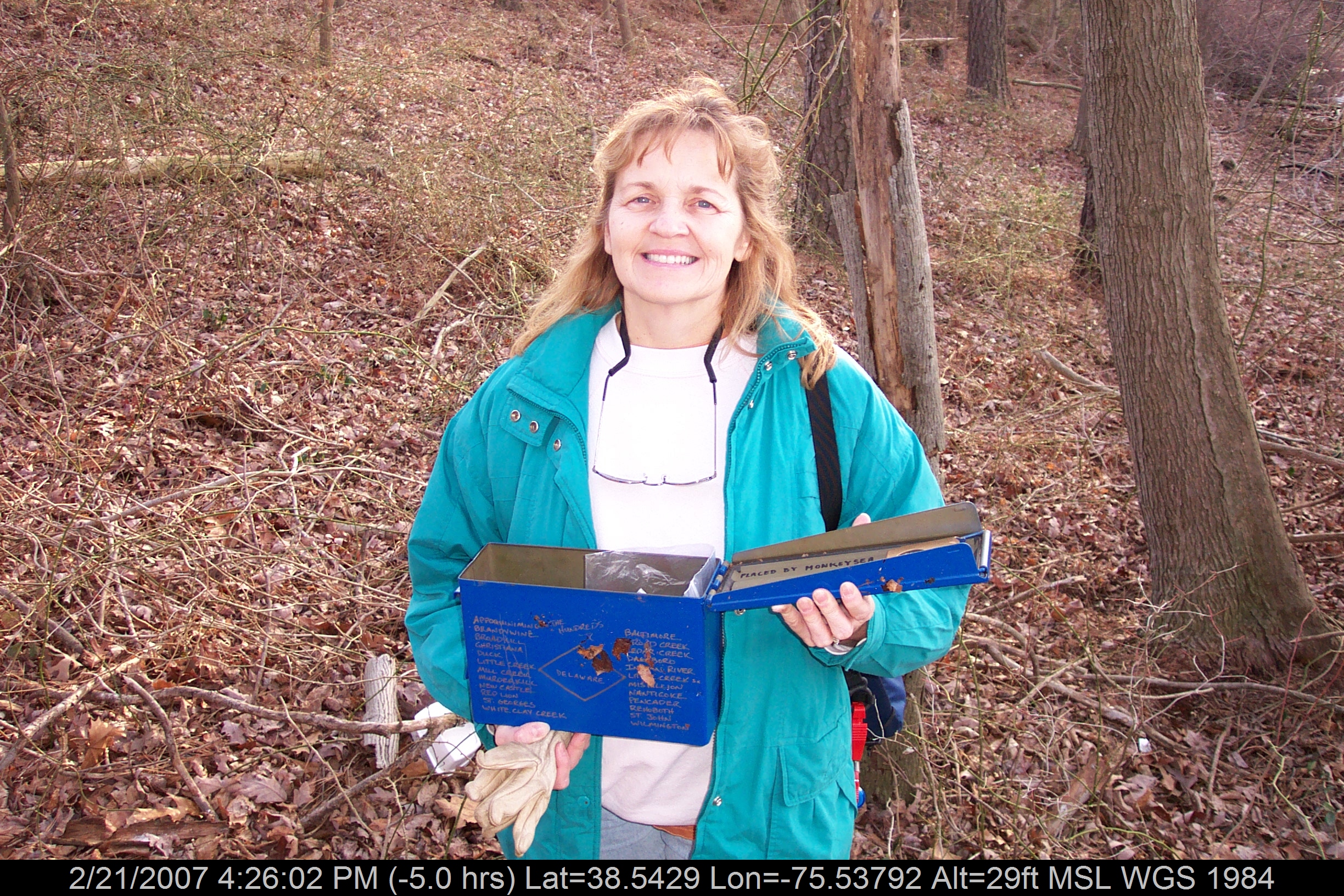
Mrs dinobalz with Broadcreek Hundred Cache
State Line
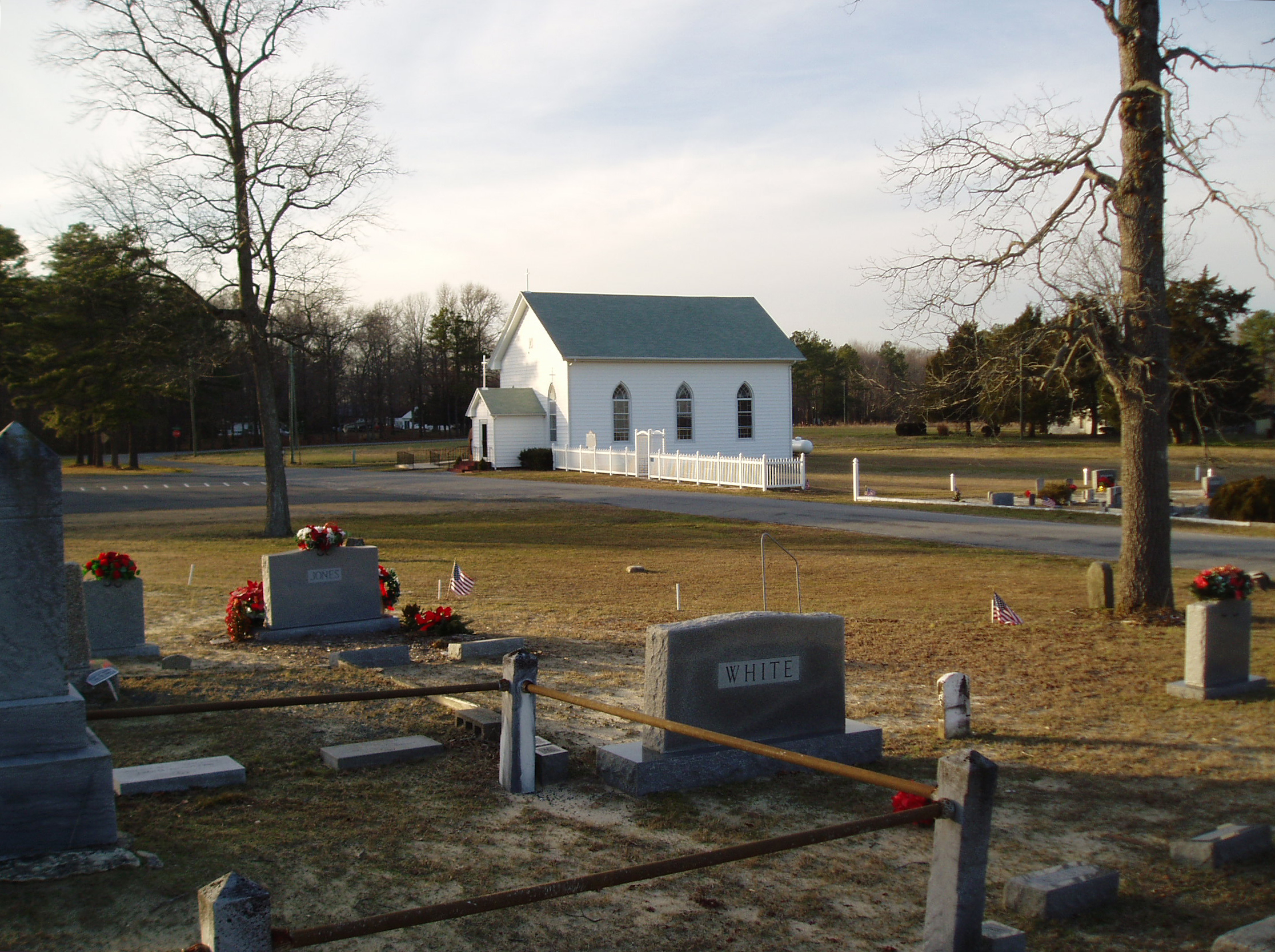
Line U.M. Church
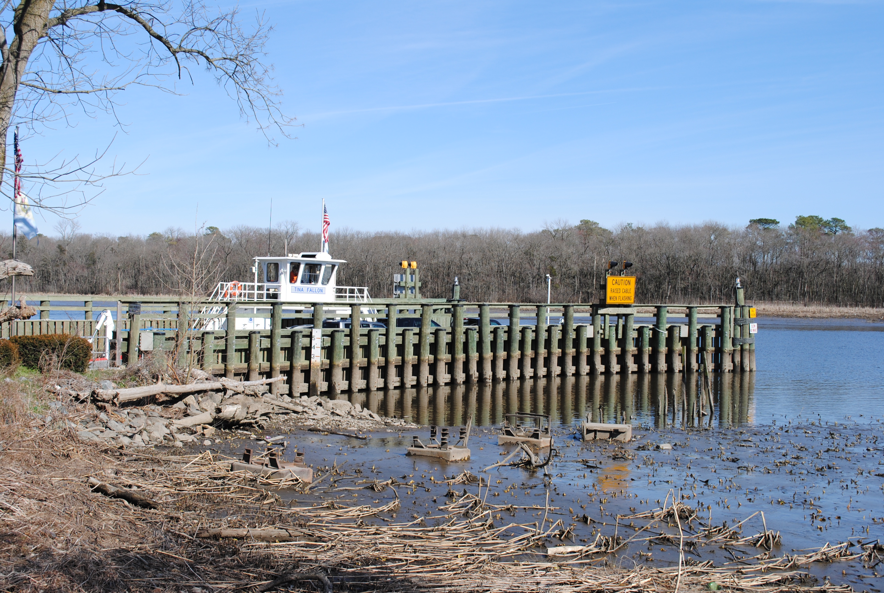
Woodland Ferry

Improvised Barber Shop
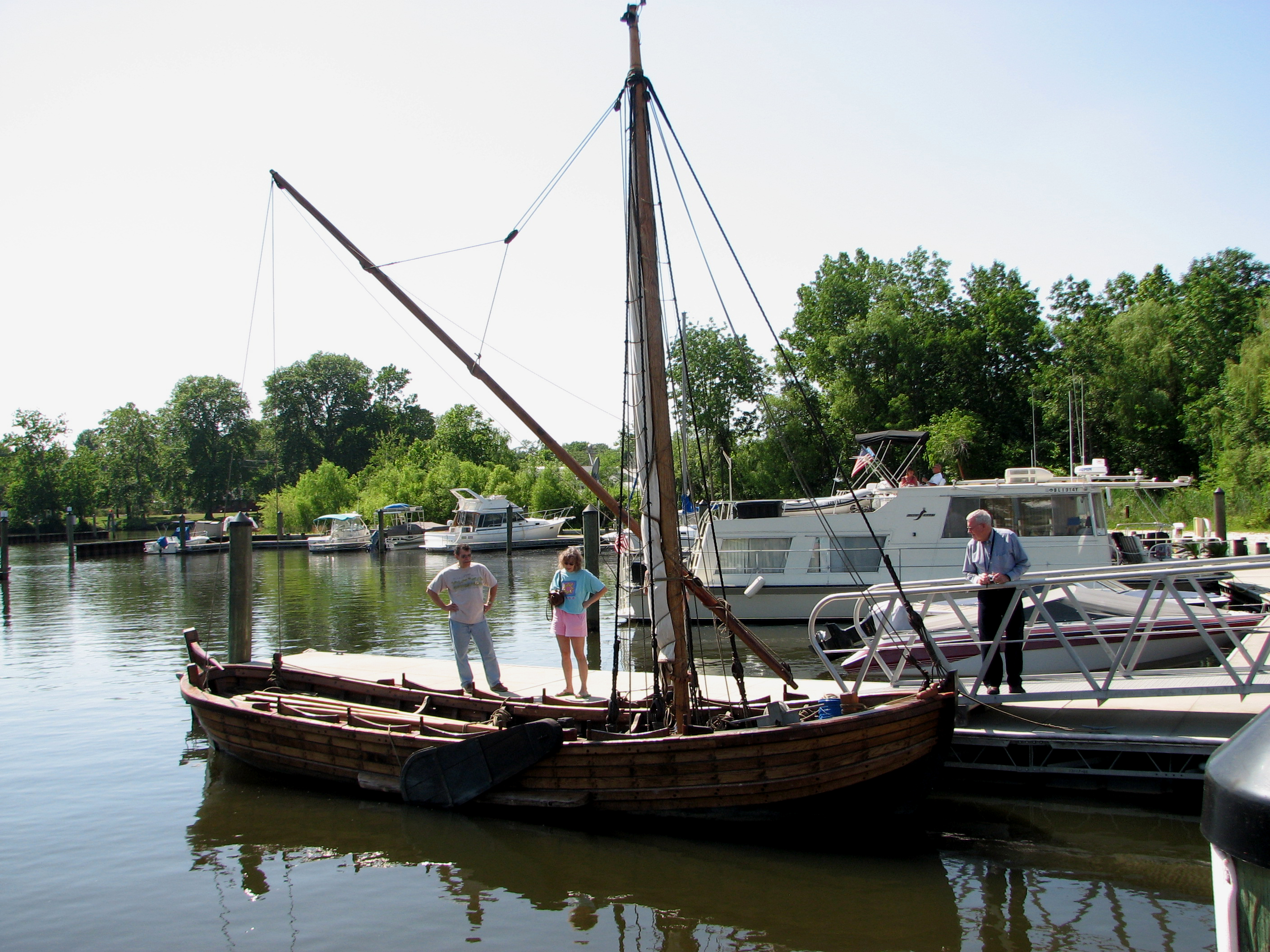
Replica of Captain John Smith's shallop
New Dispatcher Tower
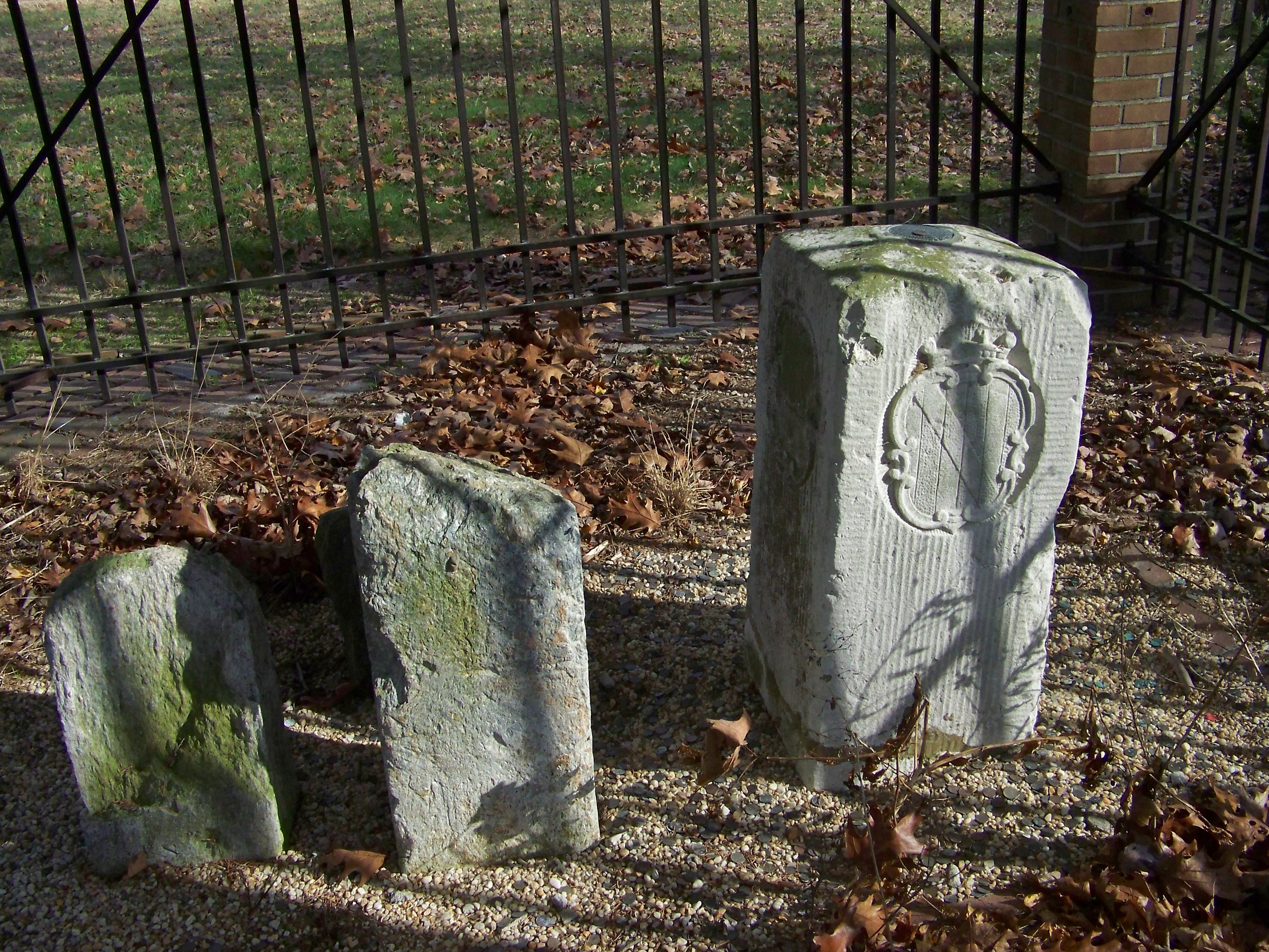
Corner Stone

Playground...You Know, for Kids!

Historic Marker at Broadcreek Hundred

Hard Right
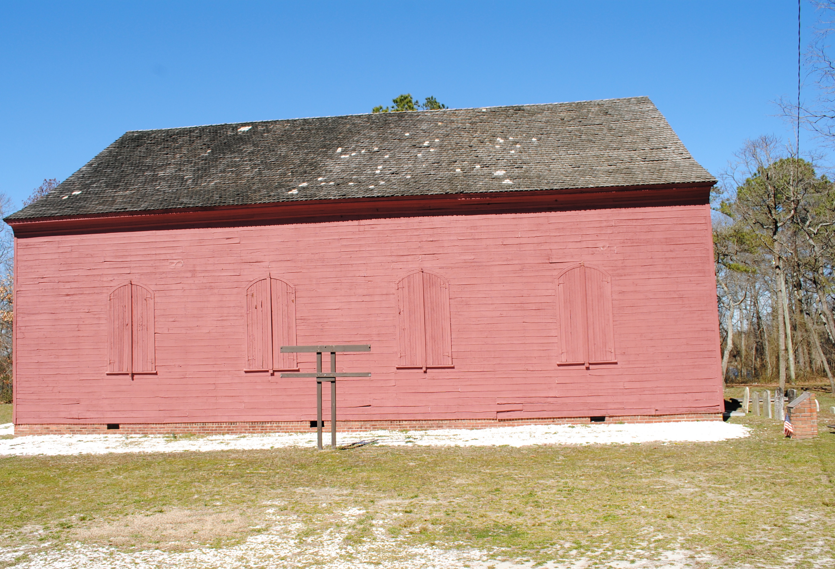
Old Christ Church - Laurel, Delaware

Country Road
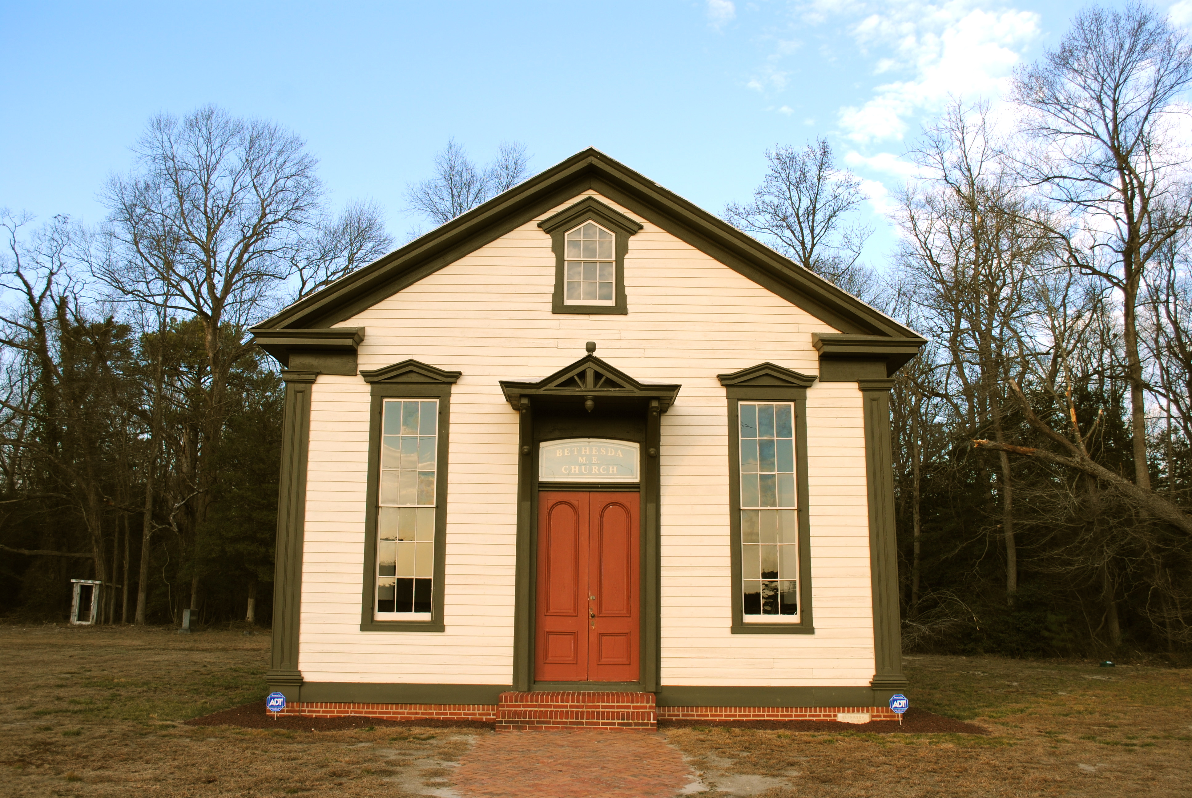
Bethesda Methodist Episcopal Church, Laurel, Delaware
Hiking with Max today.
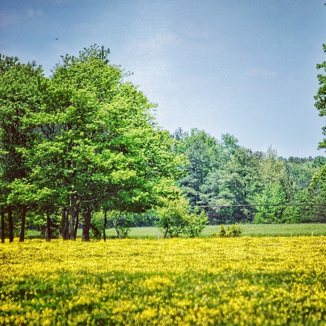
#delaware #field#spring #wildflower #yellow #laurel
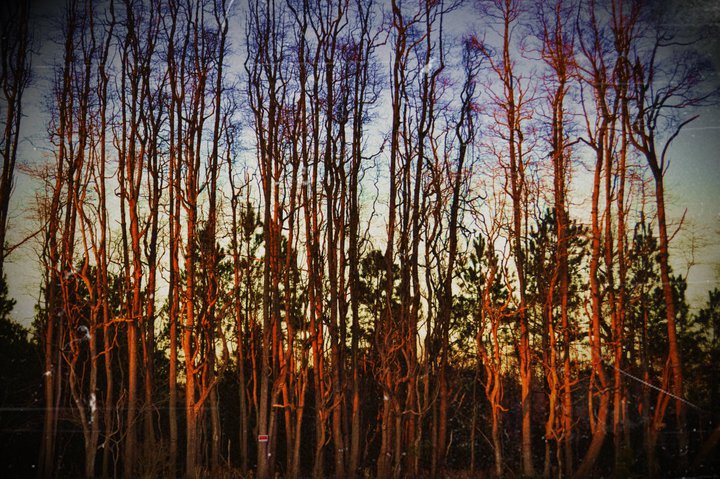
Stand of Trees

Salisbury Maryland

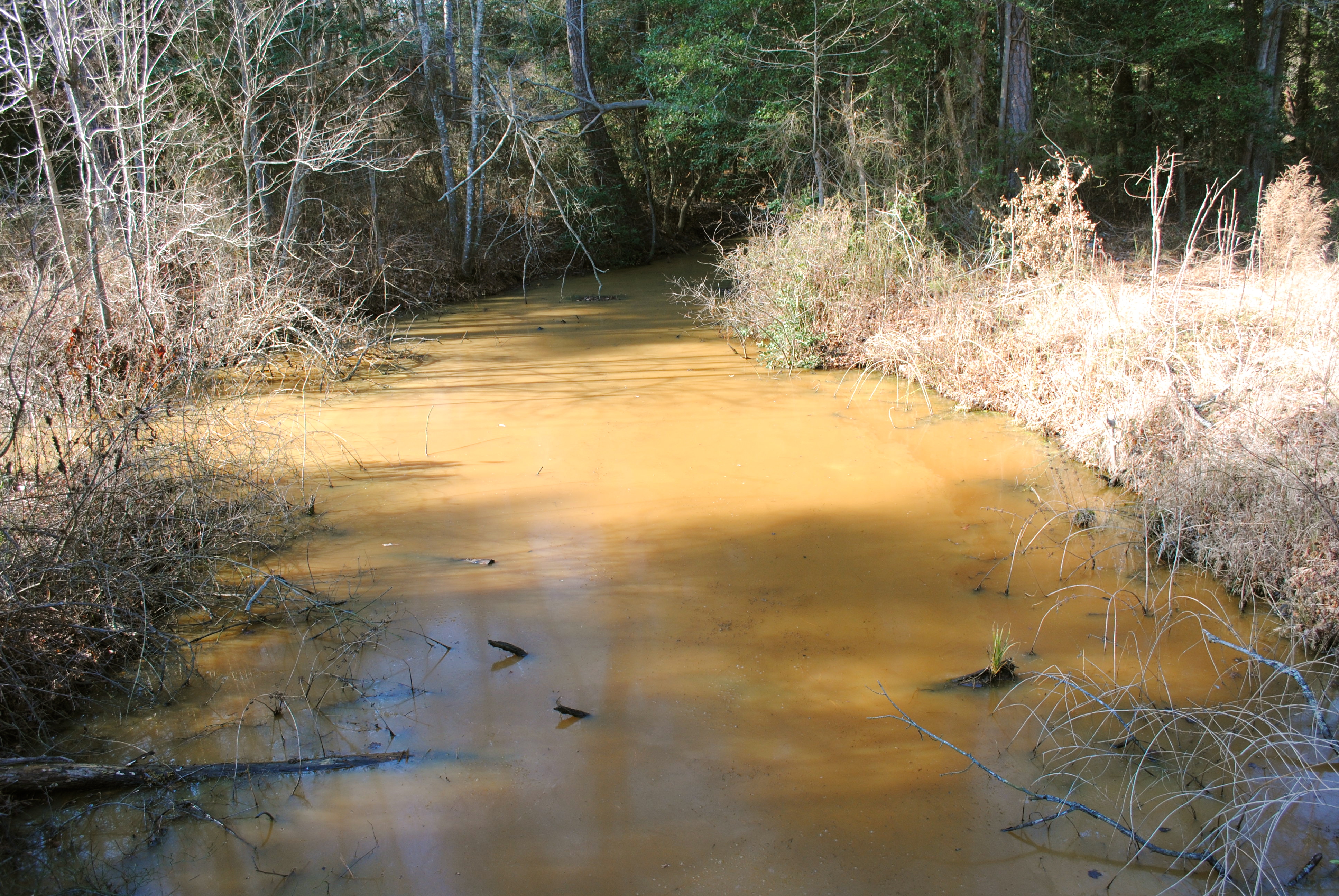
Upper Nanticoke River in Delaware looking north

Soda Can Baseball: Round 2

Ornate headstone
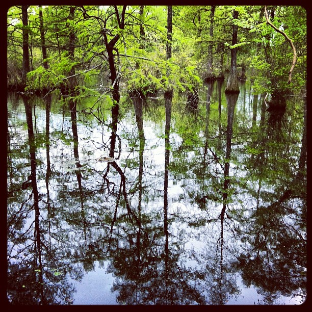
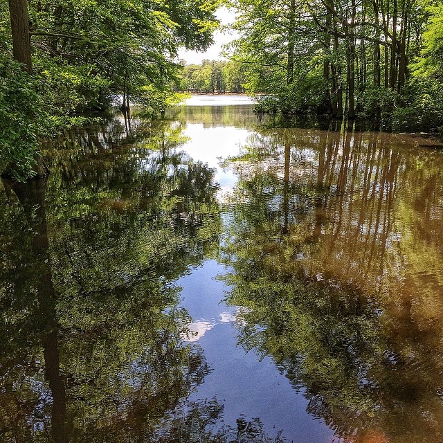
Trap Pond State Park

Backlit Clouds
#laurel#delaware #clouds
#trappond#delaware #pond

Tonights sunset was awesome! Capturing it from a moving car on a cell hardly does it justice.
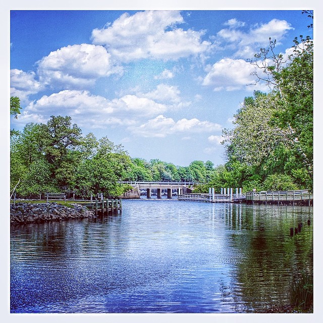
Trap Pond State Park

Sharptown Planting After
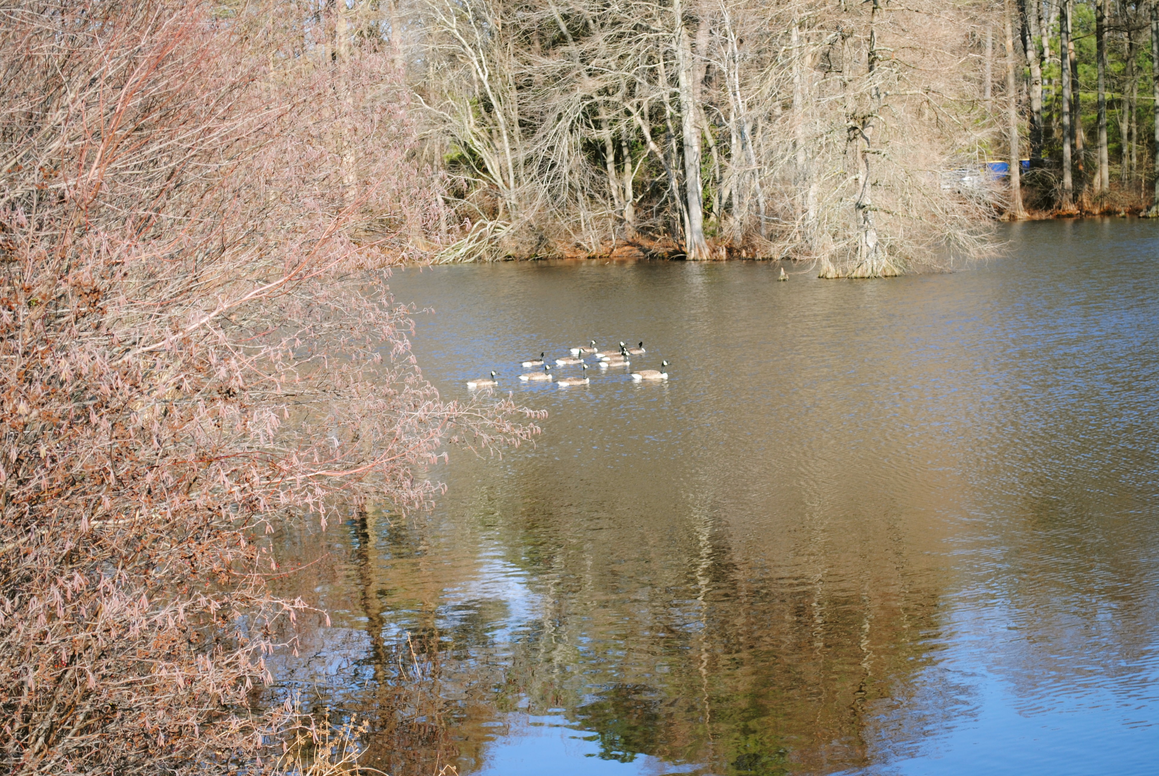
Trap Pond State Park
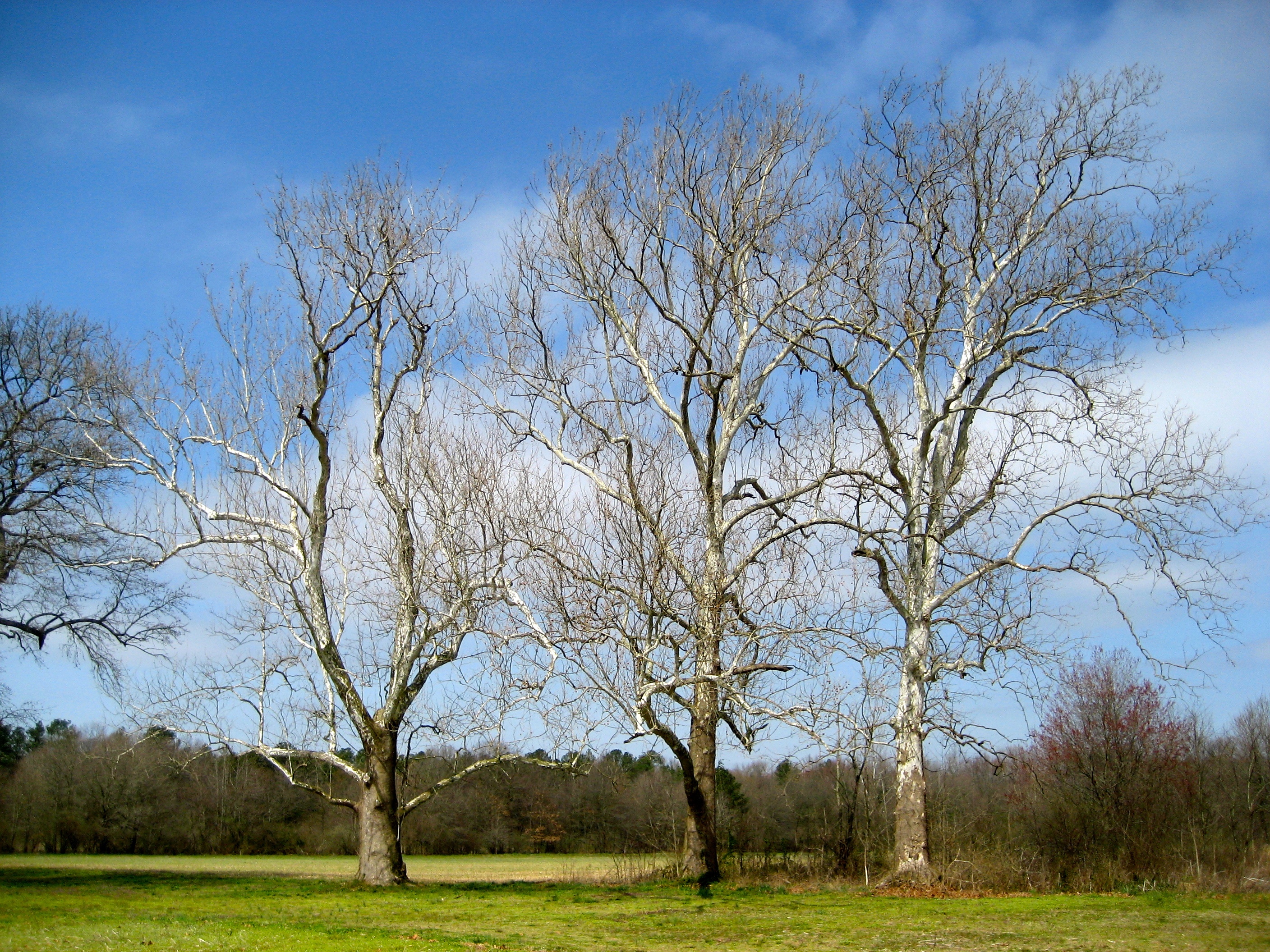
Sycamore trees near Nanticoke River in southwestern Delaware

Trap Pond State Park
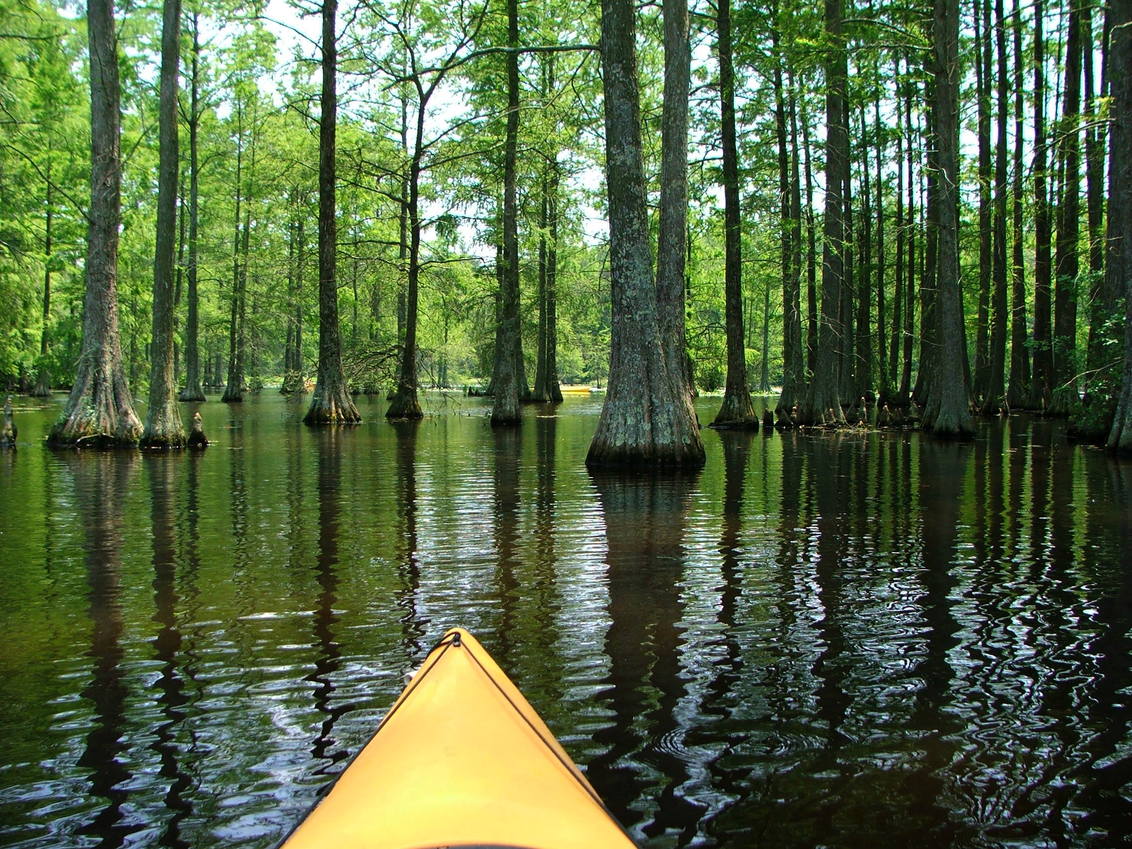
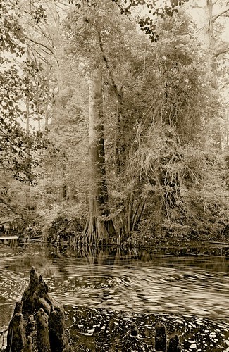
Cypress Trees at Trap Pond
Week 5 of my river
Topographic Map of Bi State Blvd, Laurel, DE, USA
Find elevation by address:

Places near Bi State Blvd, Laurel, DE, USA:
Bi State Blvd, Laurel, DE, USA
Chris Ave, Laurel, DE, USA
Old Stage Rd, Laurel, DE, USA
Sharptown Rd, Laurel, DE, USA
109 Dewey St
Traci Dr, Laurel, DE, USA
1013 Rd 492
Laurel
Trussum Pond Rd, Laurel, DE, USA
Lakeside Dr, Laurel, DE, USA
Holly Brook Apartments, Laurel, DE, USA
Laurel Rd, Laurel, DE, USA
Sycamore Rd, Laurel, DE, USA
Wootten Rd, Laurel, DE, USA
Bethel Rd, Seaford, DE, USA
15042 Woody Rd
Carroll Taylor Dr, Laurel, DE, USA
Airport Rd, Seaford, DE, USA
Beaver Dam Branch Rd, Laurel, DE, USA
Concord Rd, Seaford, DE, USA
Recent Searches:
- Elevation of Corso Fratelli Cairoli, 35, Macerata MC, Italy
- Elevation of Tallevast Rd, Sarasota, FL, USA
- Elevation of 4th St E, Sonoma, CA, USA
- Elevation of Black Hollow Rd, Pennsdale, PA, USA
- Elevation of Oakland Ave, Williamsport, PA, USA
- Elevation of Pedrógão Grande, Portugal
- Elevation of Klee Dr, Martinsburg, WV, USA
- Elevation of Via Roma, Pieranica CR, Italy
- Elevation of Tavkvetili Mountain, Georgia
- Elevation of Hartfords Bluff Cir, Mt Pleasant, SC, USA