Elevation of Woods Rd, Atmore, AL, USA
Location: United States > Alabama > Escambia County > Atmore >
Longitude: -87.530685
Latitude: 31.0614086
Elevation: 90m / 295feet
Barometric Pressure: 0KPa
Related Photos:
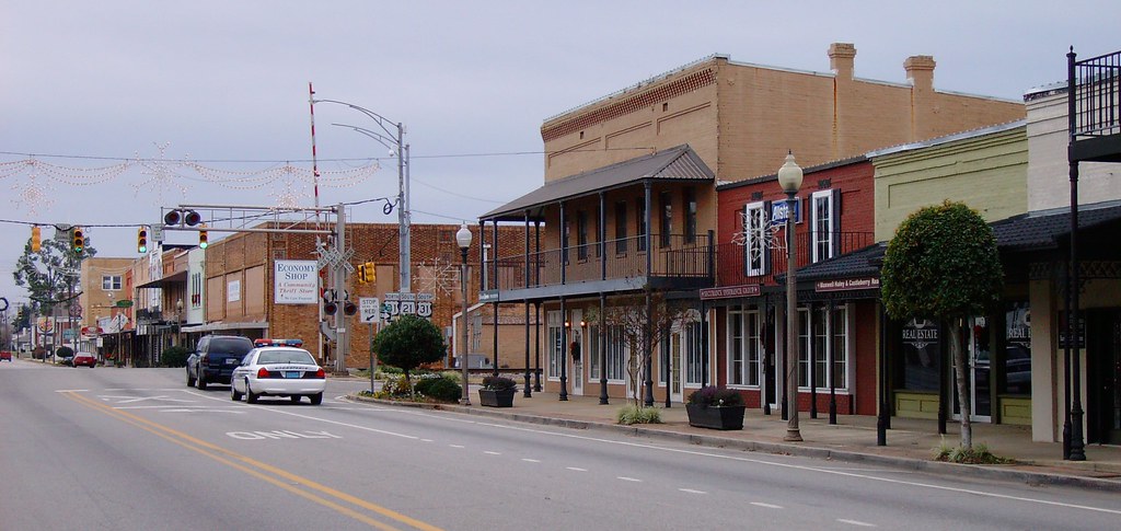
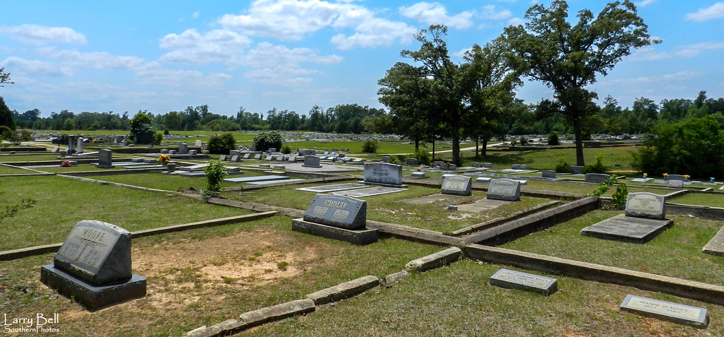
Downtown Atmore, Alabama

Spicebush Swallowtail
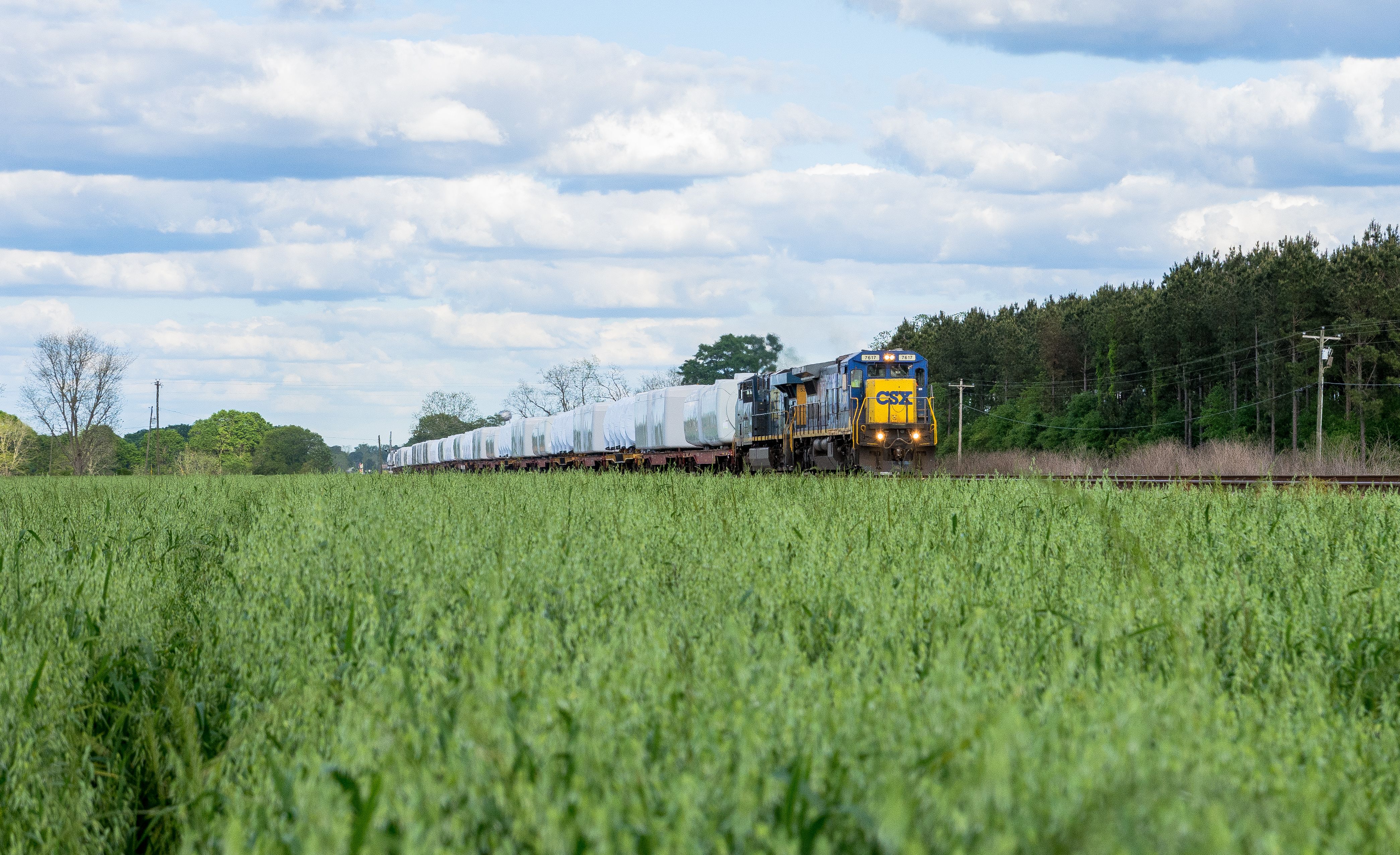
K231 Canoe, Alabama. Farewell to the C40-8
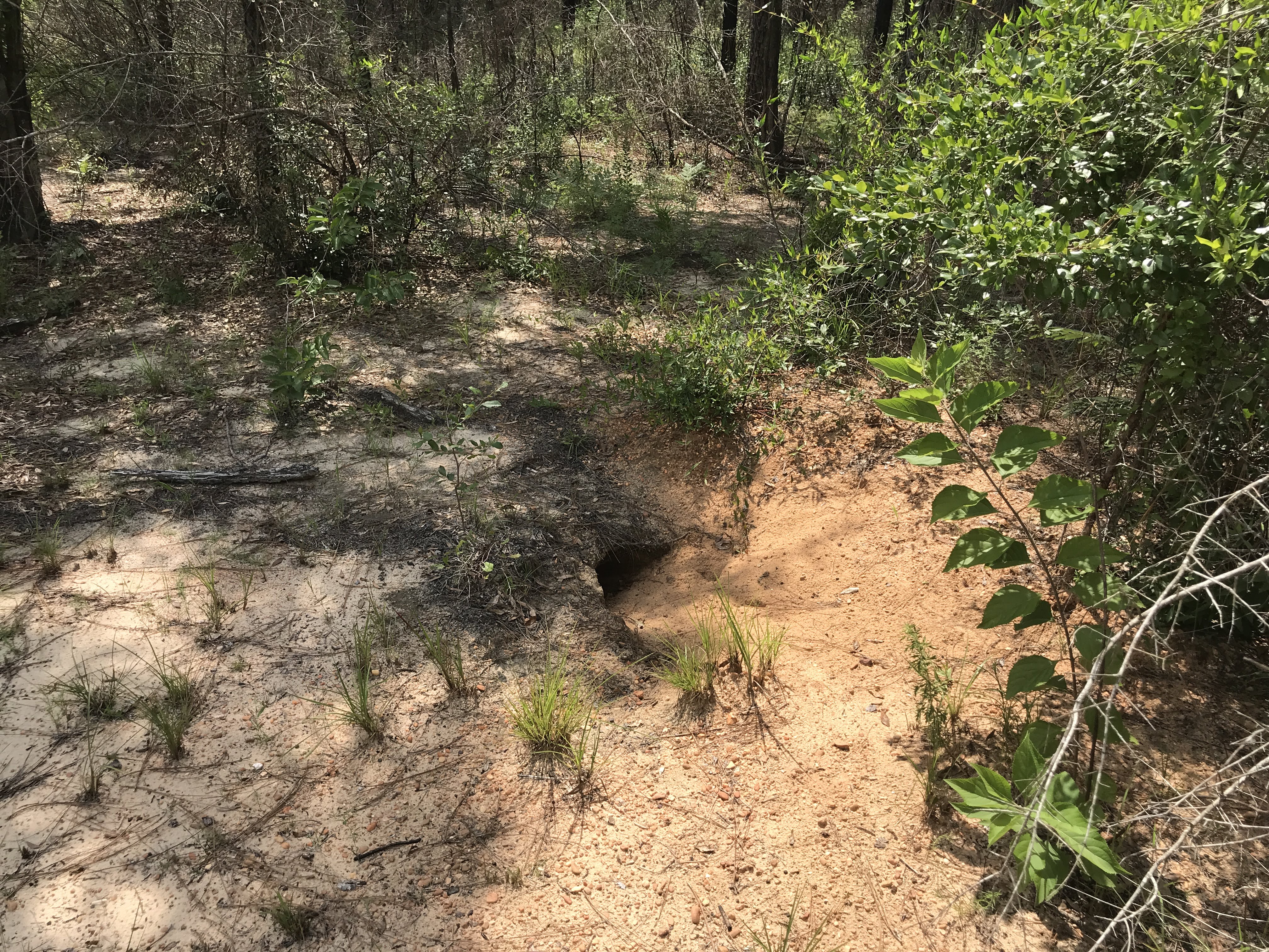
Gopher Tortoise burrow
DSC_0483-Edit
DSC_0468-Edit
Portrait of an Old Faithful Steed.
Wide and Golden SD40-2's
Golden Ponies
DSCN1156.jpg
DSCN1307.jpg
Pure Gold
Golden Hour
DSCN1176.jpg
DSCN1172.jpg
DSCN1171.jpg
DSCN1170.jpg

DSCN1169.jpg
DSCN1168.jpg
DSCN1167.jpg
DSCN1164.jpg

DSCN1163.jpg
DSCN1162.jpg
DSCN1161.jpg
DSCN1157.jpg
DSCN1333.jpg
DSCN1332.jpg
Topographic Map of Woods Rd, Atmore, AL, USA
Find elevation by address:

Places near Woods Rd, Atmore, AL, USA:
92 Middleton Ln, Atmore, AL, USA
Freemanville Dr, Atmore, AL, USA
Cool Creek Lane
Atmore
Grubbs St, Atmore, AL, USA
AL-21, Atmore, AL, USA
Medical Park Dr, Atmore, AL, USA
1587 Airport Rd
Robinsonville Rd, Atmore, AL, USA
2211 Old Bratt Rd
Old Bratt Rd, Atmore, AL, USA
4121 Rockaway Creek Rd
US-31, Atmore, AL, USA
County Rd 99, Century, FL, USA
7599 N Pine Barren Rd
48 Sam Jones Rd, Atmore, AL, USA
345 Bridlepath Ln
241 Bridlepath Ln
1002 Palafox St
Flomaton
Recent Searches:
- Elevation of 10370, West 107th Circle, Westminster, Jefferson County, Colorado, 80021, USA
- Elevation of 611, Roman Road, Old Ford, Bow, London, England, E3 2RW, United Kingdom
- Elevation of 116, Beartown Road, Underhill, Chittenden County, Vermont, 05489, USA
- Elevation of Window Rock, Colfax County, New Mexico, 87714, USA
- Elevation of 4807, Rosecroft Street, Kempsville Gardens, Virginia Beach, Virginia, 23464, USA
- Elevation map of Matawinie, Quebec, Canada
- Elevation of Sainte-Émélie-de-l'Énergie, Matawinie, Quebec, Canada
- Elevation of Rue du Pont, Sainte-Émélie-de-l'Énergie, Matawinie, Quebec, J0K2K0, Canada
- Elevation of 8, Rue de Bécancour, Blainville, Thérèse-De Blainville, Quebec, J7B1N2, Canada
- Elevation of Wilmot Court North, 163, University Avenue West, Northdale, Waterloo, Region of Waterloo, Ontario, N2L6B6, Canada
- Elevation map of Panamá Province, Panama
- Elevation of Balboa, Panamá Province, Panama
- Elevation of San Miguel, Balboa, Panamá Province, Panama
- Elevation of Isla Gibraleón, San Miguel, Balboa, Panamá Province, Panama
- Elevation of 4655, Krischke Road, Schulenburg, Fayette County, Texas, 78956, USA
- Elevation of Carnegie Avenue, Downtown Cleveland, Cleveland, Cuyahoga County, Ohio, 44115, USA
- Elevation of Walhonding, Coshocton County, Ohio, USA
- Elevation of Clifton Down, Clifton, Bristol, City of Bristol, England, BS8 3HU, United Kingdom
- Elevation map of Auvergne-Rhône-Alpes, France
- Elevation map of Upper Savoy, Auvergne-Rhône-Alpes, France