Elevation of Medical Park Dr, Atmore, AL, USA
Location: United States > Alabama > Escambia County > Atmore >
Longitude: -87.480078
Latitude: 31.000505
Elevation: 81m / 266feet
Barometric Pressure: 100KPa
Elevation Map:
Satellite Map:
Related Photos:

L180 Wawbeek Alabama
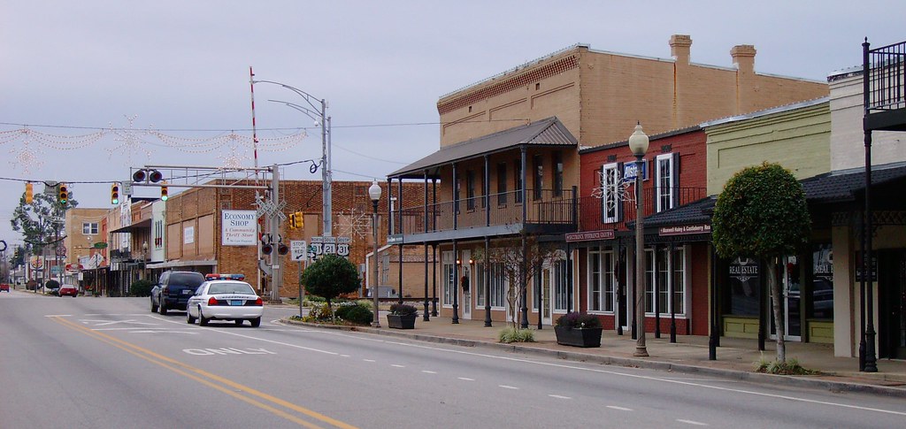
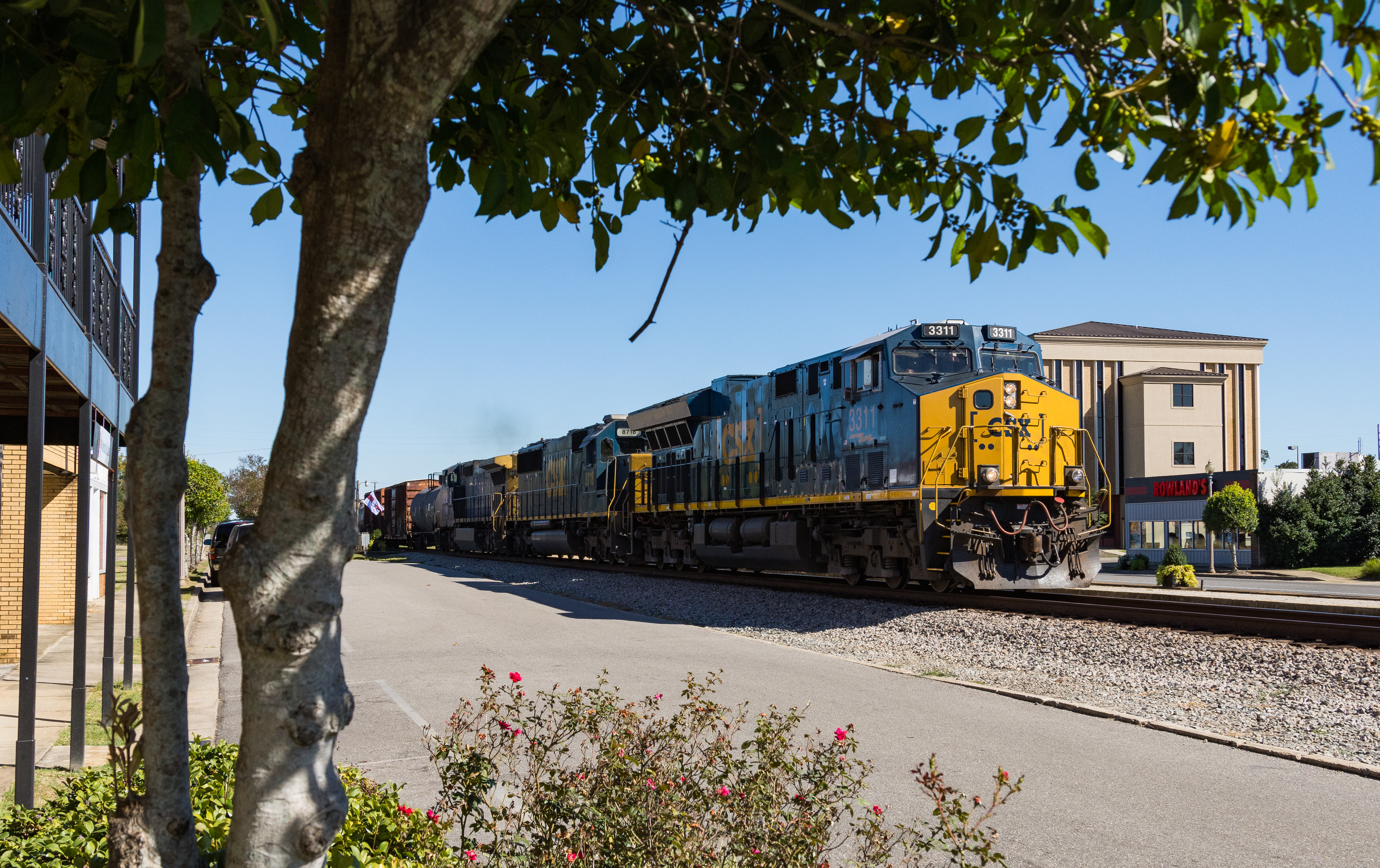
Downtown Atmore, Alabama

Wawbeek Al, Pusher, 5mph
K231 Canoe, Alabama. Farewell to the C40-8
DSC_0483-Edit
DSC_0468-Edit
I609 Atmore Alabama
P1110551-Pano
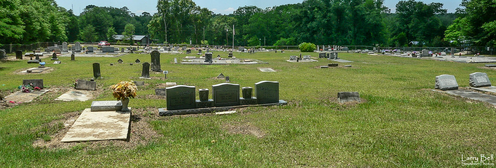
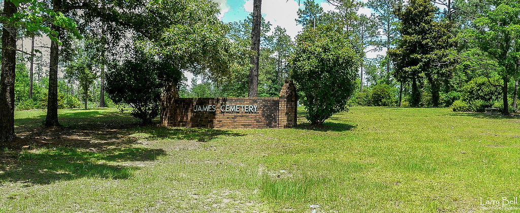
Sullivan Cemetery 1
Topographic Map of Medical Park Dr, Atmore, AL, USA
Find elevation by address:

Places near Medical Park Dr, Atmore, AL, USA:
2211 Old Bratt Rd
Old Bratt Rd, Atmore, AL, USA
1587 Airport Rd
Atmore
Grubbs St, Atmore, AL, USA
Cool Creek Lane
4121 Rockaway Creek Rd
County Rd 99, Century, FL, USA
US-31, Atmore, AL, USA
Robinsonville Rd, Atmore, AL, USA
2897 Woods Rd
92 Middleton Ln, Atmore, AL, USA
7599 N Pine Barren Rd
AL-21, Atmore, AL, USA
Freemanville Dr, Atmore, AL, USA
48 Sam Jones Rd, Atmore, AL, USA
345 Bridlepath Ln
241 Bridlepath Ln
121 2nd St
1002 Palafox St
Recent Searches:
- Elevation of Corso Fratelli Cairoli, 35, Macerata MC, Italy
- Elevation of Tallevast Rd, Sarasota, FL, USA
- Elevation of 4th St E, Sonoma, CA, USA
- Elevation of Black Hollow Rd, Pennsdale, PA, USA
- Elevation of Oakland Ave, Williamsport, PA, USA
- Elevation of Pedrógão Grande, Portugal
- Elevation of Klee Dr, Martinsburg, WV, USA
- Elevation of Via Roma, Pieranica CR, Italy
- Elevation of Tavkvetili Mountain, Georgia
- Elevation of Hartfords Bluff Cir, Mt Pleasant, SC, USA