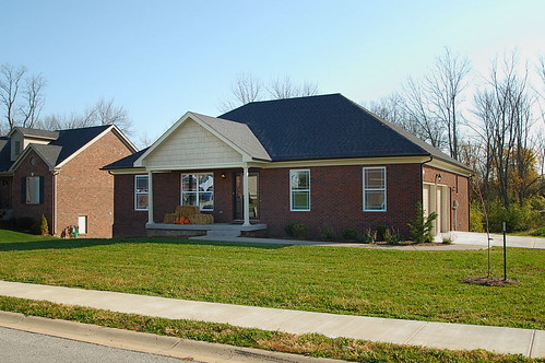
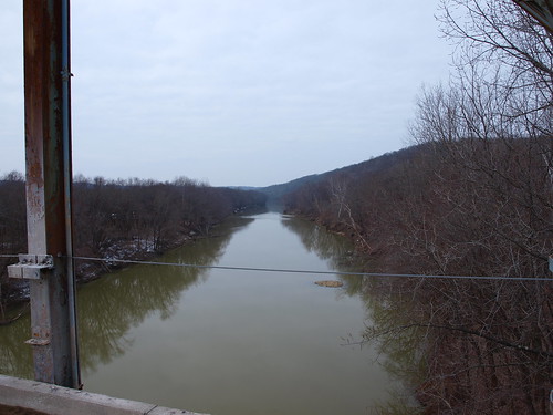
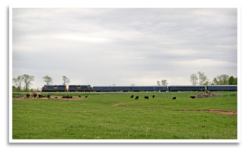
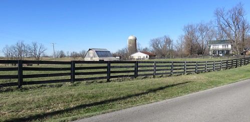
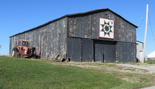
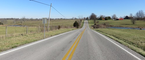
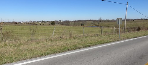
Elevation of Woods Pike Rd, Pleasureville, KY, USA
Location: United States > Kentucky > Shelby County > Pleasureville >
Longitude: -85.066353
Latitude: 38.3970372
Elevation: 269m / 883feet
Barometric Pressure: 98KPa
Related Photos:
Topographic Map of Woods Pike Rd, Pleasureville, KY, USA
Find elevation by address:

Places near Woods Pike Rd, Pleasureville, KY, USA:
Pleasureville
Elmburg Rd, Pleasureville, KY, USA
Henry County
Drennon Rd, Campbellsburg, KY, USA
Lockport
New Castle
16 S Main St, New Castle, KY, USA
Eminence
17 Depot Ave, Eminence, KY, USA
Troutman Hill Rd, Campbellsburg, KY, USA
Lockport-Fallis Rd, Lockport, KY, USA
Green Meadows Drive
Bagdad
Gratz
Vigo Rd, Bagdad, KY, USA
Port Royal
Port Royal Rd, Port Royal, KY, USA
Gest Rd, Pleasureville, KY, USA
Fallis-Gest Rd, Pleasureville, KY, USA
Squiresville Rd, Owenton, KY, USA
Recent Searches:
- Elevation of Corso Fratelli Cairoli, 35, Macerata MC, Italy
- Elevation of Tallevast Rd, Sarasota, FL, USA
- Elevation of 4th St E, Sonoma, CA, USA
- Elevation of Black Hollow Rd, Pennsdale, PA, USA
- Elevation of Oakland Ave, Williamsport, PA, USA
- Elevation of Pedrógão Grande, Portugal
- Elevation of Klee Dr, Martinsburg, WV, USA
- Elevation of Via Roma, Pieranica CR, Italy
- Elevation of Tavkvetili Mountain, Georgia
- Elevation of Hartfords Bluff Cir, Mt Pleasant, SC, USA
