Elevation of Pleasureville, KY, USA
Location: United States > Kentucky > Shelby County >
Longitude: -85.115231
Latitude: 38.3459022
Elevation: 272m / 892feet
Barometric Pressure: 98KPa
Elevation Map:
Satellite Map:
Related Photos:

Dutch Tract Cemetery, Pleasureville
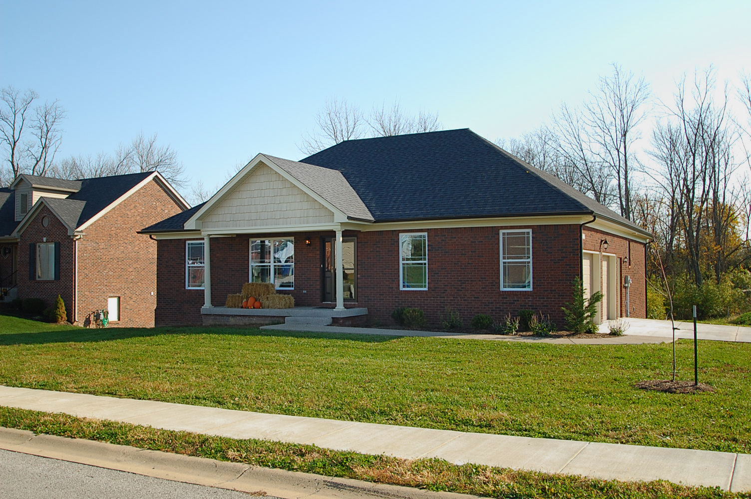
Front View
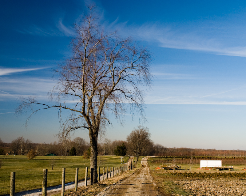
Winter Landscape

20110807-14

Bagdad Train

20110807-17
20110807-13
Northern Kentucky Landscape (Henry County, Kentucky)
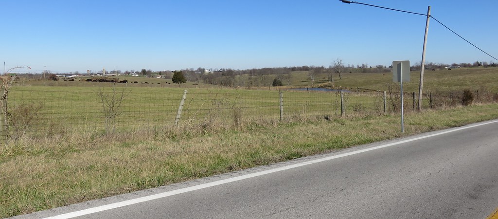
Northern Kentucky Landscape (Henry County, Kentucky)

20140815-IMG_3623.jpg

20140815-IMG_3622.jpg

20140815-IMG_3621.jpg
20140815-IMG_3616.jpg

20140815-IMG_3607.jpg

Hike with the kids
Hike with the kids

Hike with the kids
Topographic Map of Pleasureville, KY, USA
Find elevation by address:

Places in Pleasureville, KY, USA:
Elmburg Rd, Pleasureville, KY, USA
Woods Pike Rd, Pleasureville, KY, USA
Fallis-Gest Rd, Pleasureville, KY, USA
Gest Rd, Pleasureville, KY, USA
Places near Pleasureville, KY, USA:
Eminence
17 Depot Ave, Eminence, KY, USA
Henry County
16 S Main St, New Castle, KY, USA
New Castle
Drennon Rd, Campbellsburg, KY, USA
Smithfield
St Estes Rd, Smithfield, KY, USA
428 Old Jericho Rd
Old Jericho Rd, La Grange, KY, USA
Vista Way
Pendleton Rd, Pendleton, KY, USA
Pendleton
3403 Dusty Star Dr
1796 Zachary Dr
1794 Zachary Dr
2613 Singleton Ln
1126 Cherry Hollow Rd
205 E Main St
La Grange
Recent Searches:
- Elevation of Corso Fratelli Cairoli, 35, Macerata MC, Italy
- Elevation of Tallevast Rd, Sarasota, FL, USA
- Elevation of 4th St E, Sonoma, CA, USA
- Elevation of Black Hollow Rd, Pennsdale, PA, USA
- Elevation of Oakland Ave, Williamsport, PA, USA
- Elevation of Pedrógão Grande, Portugal
- Elevation of Klee Dr, Martinsburg, WV, USA
- Elevation of Via Roma, Pieranica CR, Italy
- Elevation of Tavkvetili Mountain, Georgia
- Elevation of Hartfords Bluff Cir, Mt Pleasant, SC, USA