Elevation of Old Jericho Rd, Smithfield, KY, USA

Location: United States > Kentucky > Henry County > Smithfield >

Longitude: -85.296021

Latitude: 38.4111478

Elevation: 273m / 896feet

Barometric Pressure: 98KPa

Elevation Map:

elevation map of Old Jericho Rd, Smithfield, KY, USA

Satellite Map:

Satellite map of Old Jericho Rd, Smithfield, KY, USA

Related Photos:

square squareformat iphoneography instagramapp uploaded:by=instagram foursquare:venue=4c4355483735be9a754d1ba4
6/23 ~ View #fmsphotoaday
Morning View
summer vacation amusement kentucky ferriswheel rides countyfair odc project365 oldhamcounty cmesker christymesker
Oldham County Fair from the Ferris Wheel - 10/365
street running csx lagrangeky summerail2010
Just A Street that has BIG THINGS that go down the street
tree place newhome newhouse elm 163 newconstruction 163elmtreeplace
Front View
2010 art artist painting virtual oldwest western cowboychurch cowboy scene town picture pictures pic pics image images create creation creativity creative unique capture original crystal crystalwriter christian writer church christiancountrycowboychurch virtualscene lagrange kentucky lagrangekentucky lagrangeky ky friend joy
My Friend Joy Looking Down A Virtual Old West Alley
View From The Observation Tower
sunset tree barn farm silo eminence
The Sun Sets on Eminence, KY
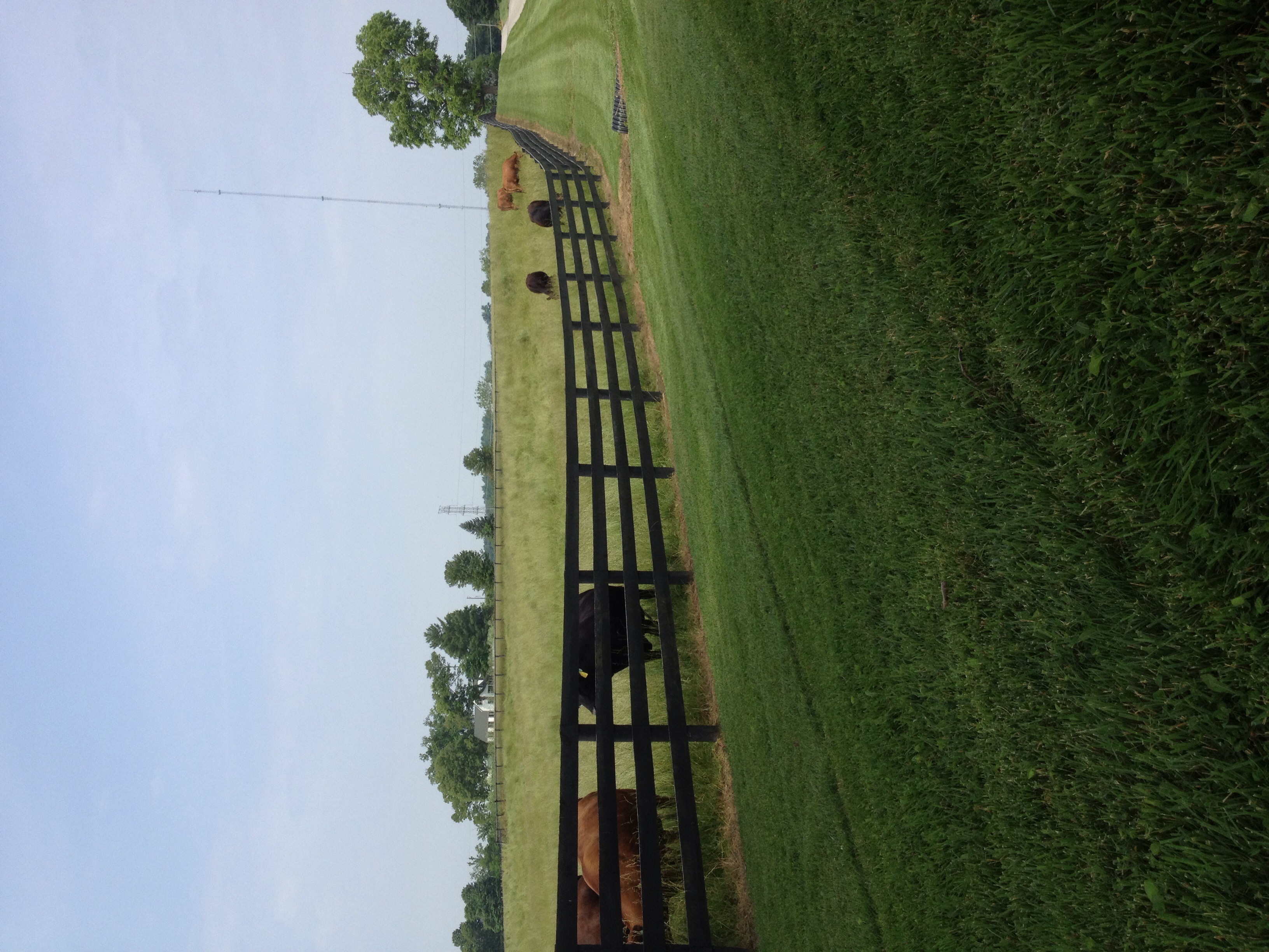
rural landscape farm kentucky country bluesky crestwood glenarmroad
Farm scape
kentucky cattail pleasureville
20110807-14
CSXT Q272, Campbellsburg, KY
swimming kentucky ky louisville quarry lagrange fallingrock
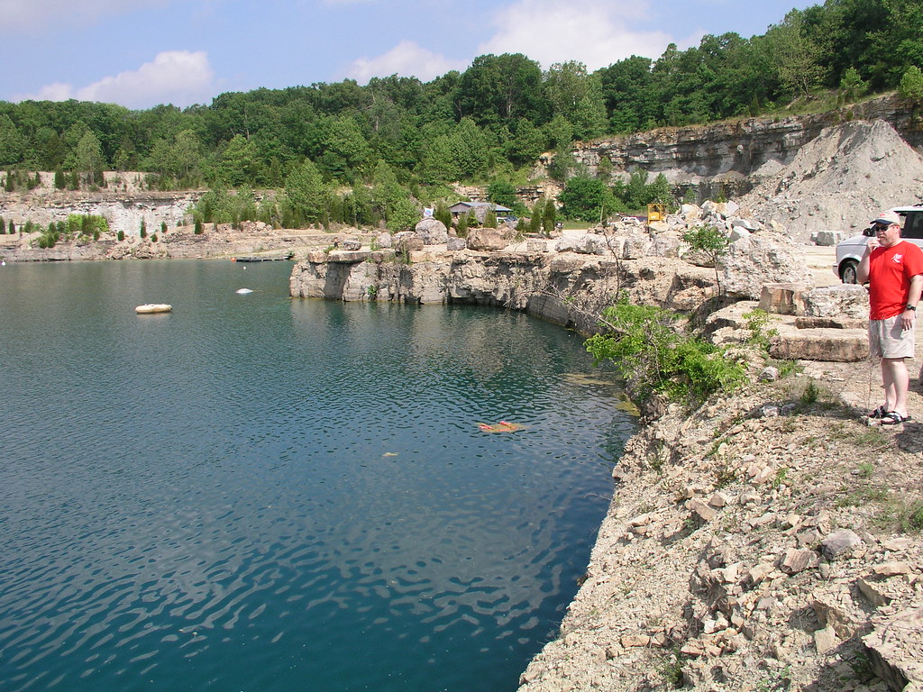
Falling Rock Quarry panoramic
kentucky pleasureville
20110807-17
kentucky pleasureville
20110807-13
usa la underwater unitedstates ky united scuba diving quarry lagrange joesfallingrockquarry
20050604-145020
usa la underwater unitedstates ky united scuba diving quarry lagrange joesfallingrockquarry
20050604-170150
usa la underwater unitedstates ky united scuba diving quarry lagrange joesfallingrockquarry
20050604-093908
trees grass fence cows farm kentucky country
Mooo!
usa la underwater unitedstates ky united scuba diving quarry lagrange joesfallingrockquarry
20050604-093914
usa la underwater unitedstates ky united scuba diving quarry lagrange joesfallingrockquarry
20050604-093902
usa la underwater unitedstates ky united scuba diving quarry lagrange joesfallingrockquarry
20050604-093758
usa la underwater unitedstates ky united scuba diving quarry lagrange joesfallingrockquarry
20050604-093858
usa la underwater unitedstates ky united scuba diving quarry lagrange joesfallingrockquarry
20050604-094038
18270mmf3563 1s 4496x3000x24b fortpickensroad iso280 jpeg kentucky lagrange landscape nikoncorporationnikond5300 northlatitude sealevel us usa westlongitude f8 flashoff didnotfire focallength18mm 1250s gpsspeed orientationupperleft softwarever100 exifversion23 unitedstates all allsyncflickr
20160705 061230 1SL6
usa la underwater unitedstates ky united scuba diving quarry lagrange joesfallingrockquarry
20050604-164958
18270mmf3563 1s 4496x3000x24b fortpickensroad iso400 jpeg kentucky lagrange landscape nikoncorporationnikond5300 northlatitude sealevel us usa westlongitude f8 flashoff didnotfire focallength18mm 1250s gpsspeed orientationupperleft softwarever100 exifversion23 unitedstates all allsyncflickr
20160705 061405 1SL6
18270mmf3563 1s 4496x3000x24b fortpickensroad iso280 jpeg kentucky lagrange landscape nikoncorporationnikond5300 northlatitude sealevel us usa westlongitude f8 flashoff didnotfire focallength18mm 1250s gpsspeed orientationupperleft softwarever100 exifversion23 unitedstates all allsyncflickr
20160705 061427 1SL6
18270mmf3563 1s 4496x3000x24b fortpickensroad iso200 jpeg kentucky lagrange landscape nikoncorporationnikond5300 northlatitude sealevel us usa westlongitude f9 flashoff didnotfire focallength65mm 1320s gpsspeed orientationupperleft softwarever100 exifversion23 unitedstates all allsyncflickr
20160705 061449 1SL6