Elevation of N 5th Ave, La Grange, KY, USA
Location: United States > Kentucky > Oldham County > La Grange >
Longitude: -85.386418
Latitude: 38.4125319
Elevation: 261m / 856feet
Barometric Pressure: 98KPa
Elevation Map:
Satellite Map:
Related Photos:
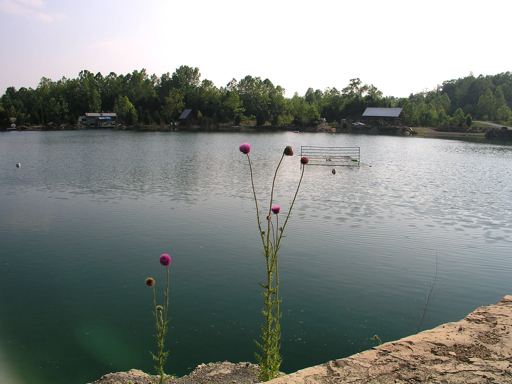
Morning View

The view from my rocking chair || #sunset #beautiful #sky

Pewee Valley Presbyterian Church
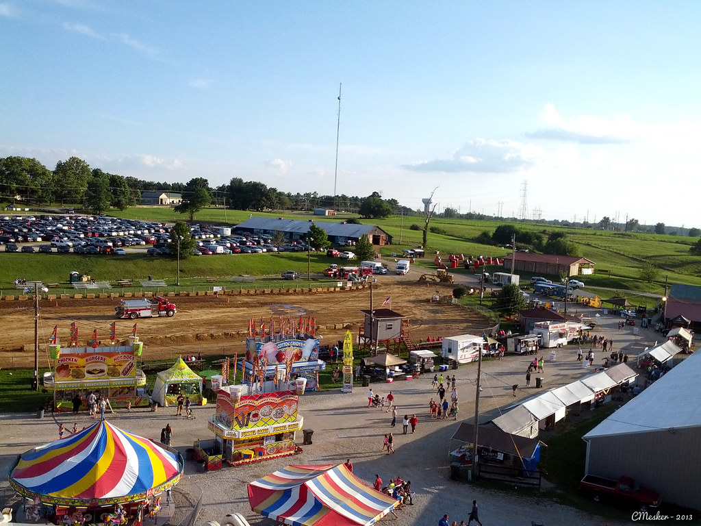
Oldham County Fair from the Ferris Wheel - 10/365
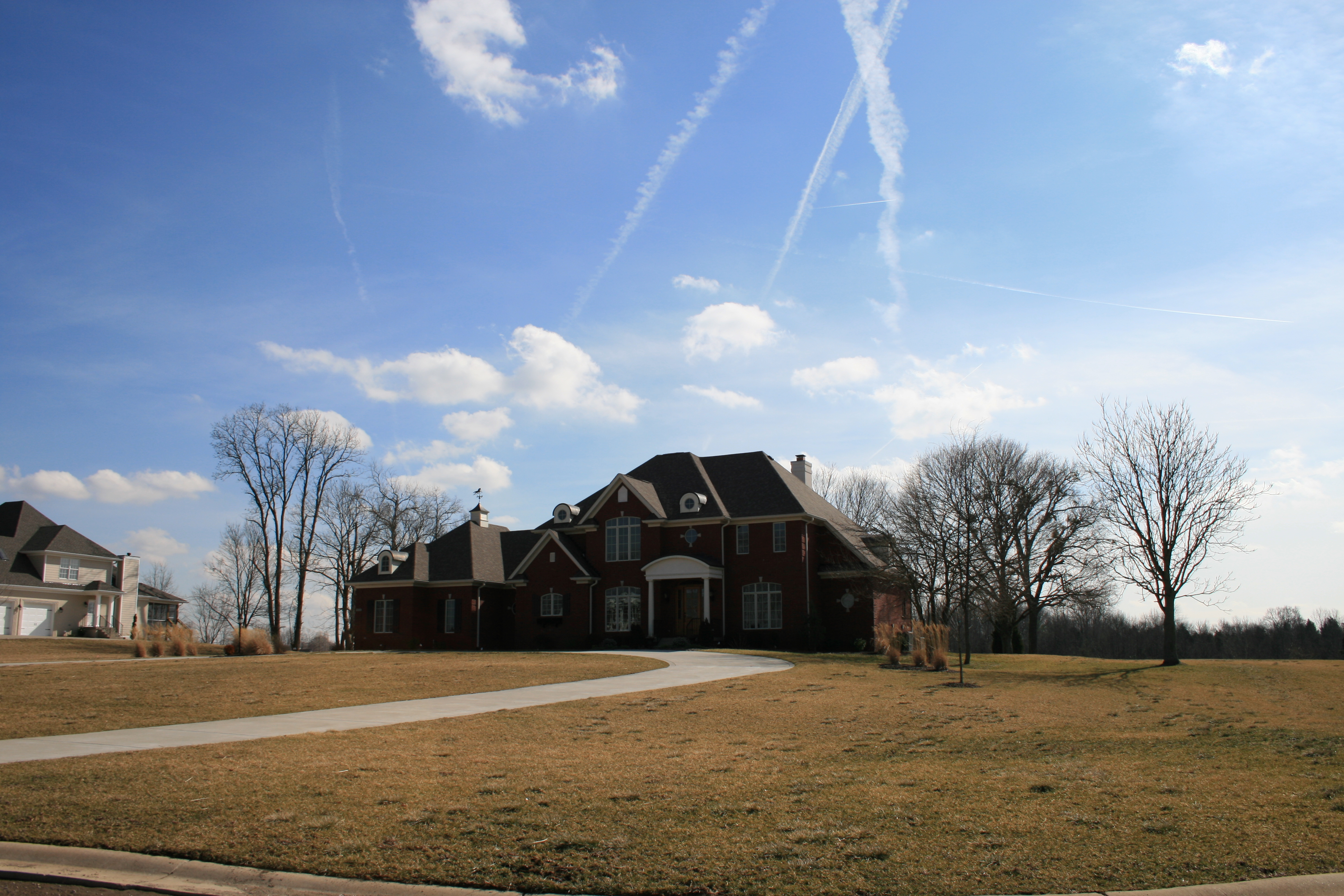
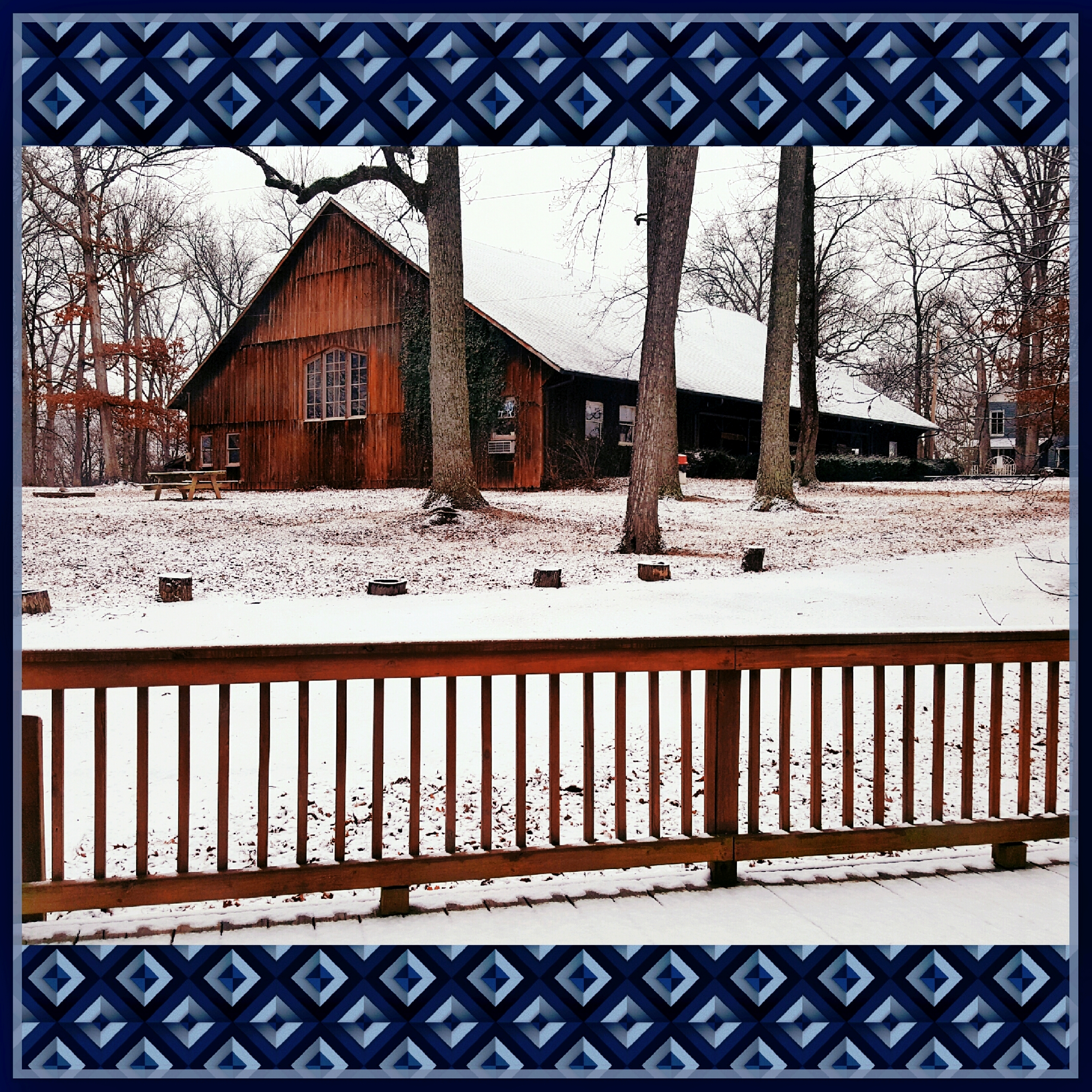
House that Popaw Built

Street View

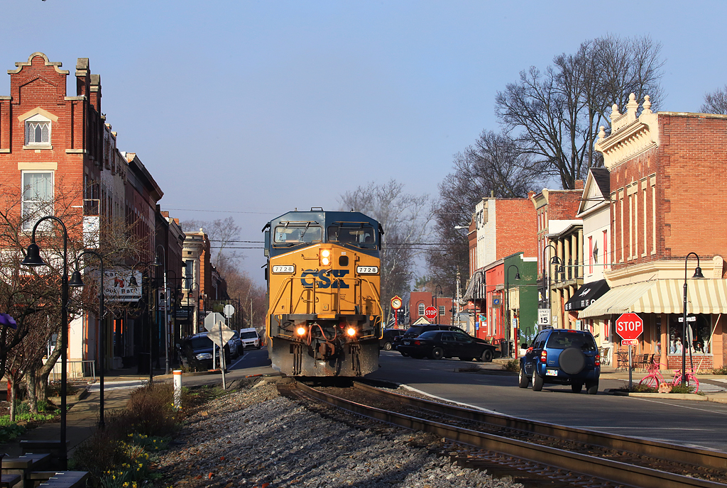
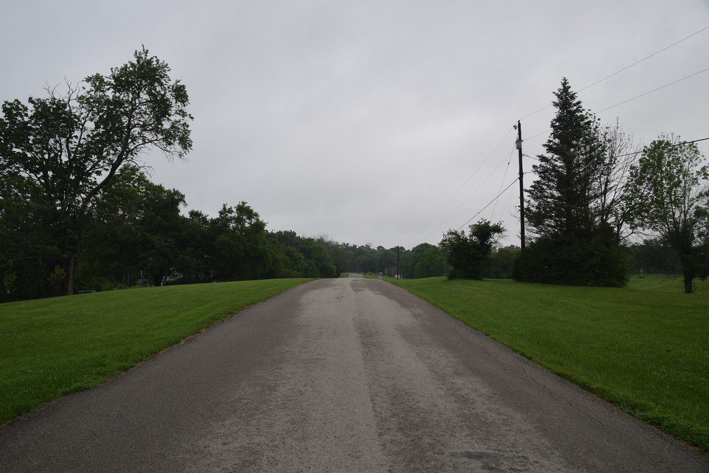
Just A Street that has BIG THINGS that go down the street
View from 3302 Hidden Springs Ln is Lot 39 The Overlook on Covered Bridge
View From The Observation Tower
View of the Ohio river
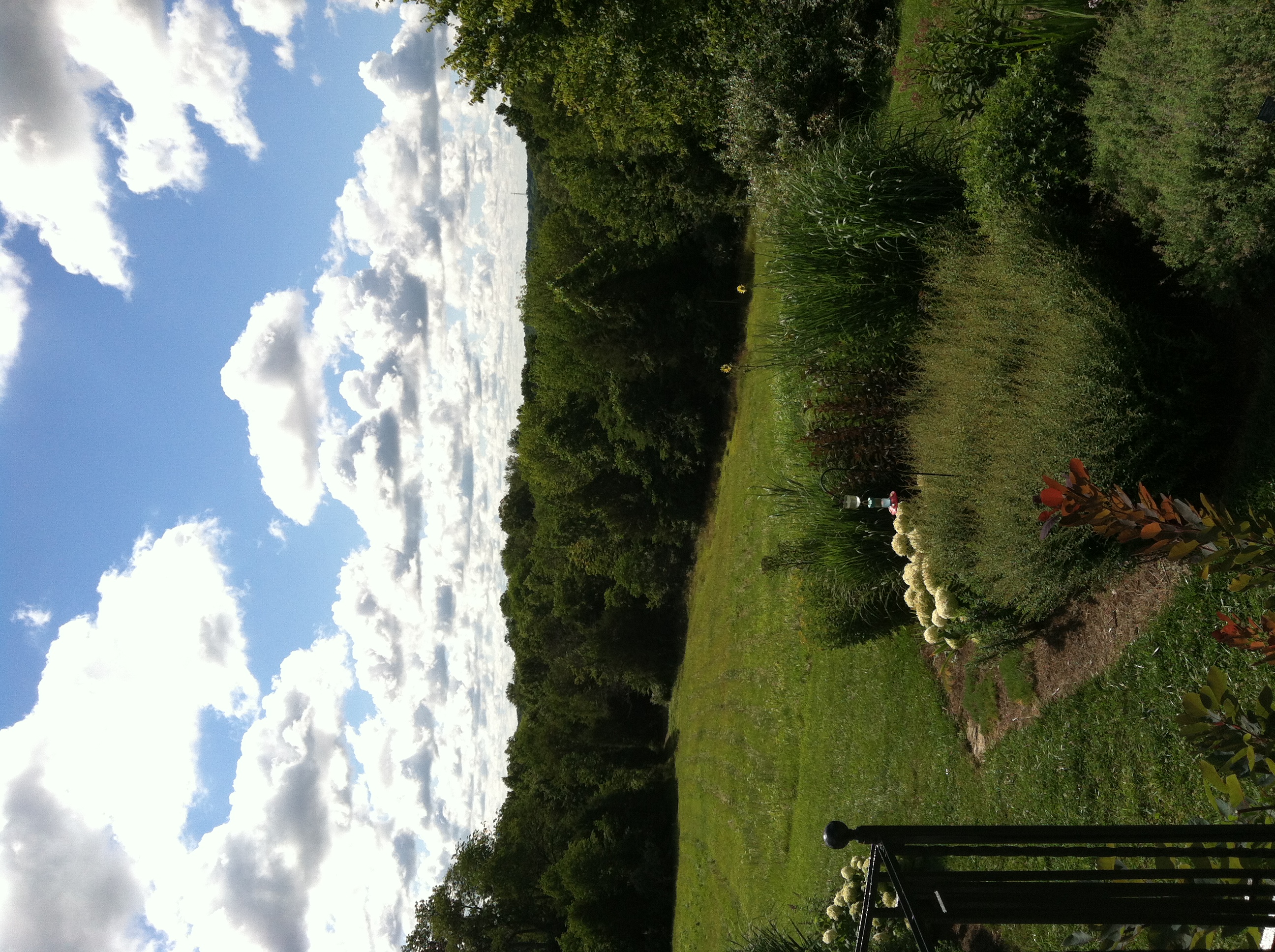
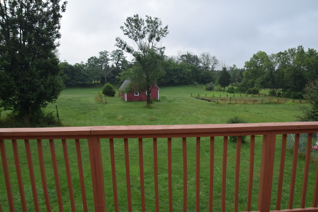
So, we just moved into our new house and I would say that the view off of my back deck doesn't suck very much || #dontbehating

6/23 ~ View #fmsphotoaday
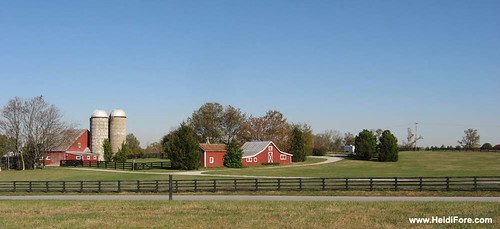
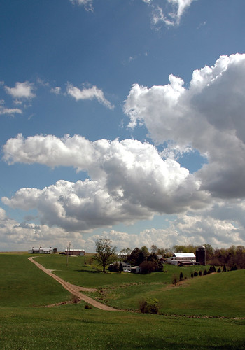
Heritage Farm
Day 35 of 365--Morning Show Scene at Retreat Center--Cellphone Project 2018

Just remembered what day it is.

Yew Dell Botanical Gardens. Crestwood Kentucky. Image Aspect Ratio 16: 9 widescreen
Yew Dell Botanical Gardens. Crestwood Kentucky
I <3 KY

I <3 KY
Farm scape

20050604-145020
20050604-170150
20050604-093908
20050604-093914
Mooo!

State of the Union
20050604-164958
20160705 061405 1SL6
20160705 060919 1SL6

20160705 061449 1SL6
20160705 061433 1SL6
20160705 061227 1SL6
20160705 060935 1SL6
Topographic Map of N 5th Ave, La Grange, KY, USA
Find elevation by address:

Places near N 5th Ave, La Grange, KY, USA:
W Main St, La Grange, KY, USA
La Grange
205 E Main St
1126 Cherry Hollow Rd
1794 Zachary Dr
1796 Zachary Dr
2613 Singleton Ln
3403 Dusty Star Dr
State Hwy 22, Crestwood, KY, USA
1450 W Hwy 42
Vista Way
Old Jericho Rd, La Grange, KY, USA
3826 N Camden Ln
428 Old Jericho Rd
3109 Heritage Ct
Pendleton Rd, Pendleton, KY, USA
Pendleton
St Estes Rd, Smithfield, KY, USA
Smithfield
17 Depot Ave, Eminence, KY, USA
Recent Searches:
- Elevation of Corso Fratelli Cairoli, 35, Macerata MC, Italy
- Elevation of Tallevast Rd, Sarasota, FL, USA
- Elevation of 4th St E, Sonoma, CA, USA
- Elevation of Black Hollow Rd, Pennsdale, PA, USA
- Elevation of Oakland Ave, Williamsport, PA, USA
- Elevation of Pedrógão Grande, Portugal
- Elevation of Klee Dr, Martinsburg, WV, USA
- Elevation of Via Roma, Pieranica CR, Italy
- Elevation of Tavkvetili Mountain, Georgia
- Elevation of Hartfords Bluff Cir, Mt Pleasant, SC, USA