Elevation of Lockport, KY, USA
Location: United States > Kentucky > Henry County >
Longitude: -84.967173
Latitude: 38.435901
Elevation: 144m / 472feet
Barometric Pressure: 100KPa
Elevation Map:
Satellite Map:
Related Photos:

Dutch Tract Cemetery, Pleasureville
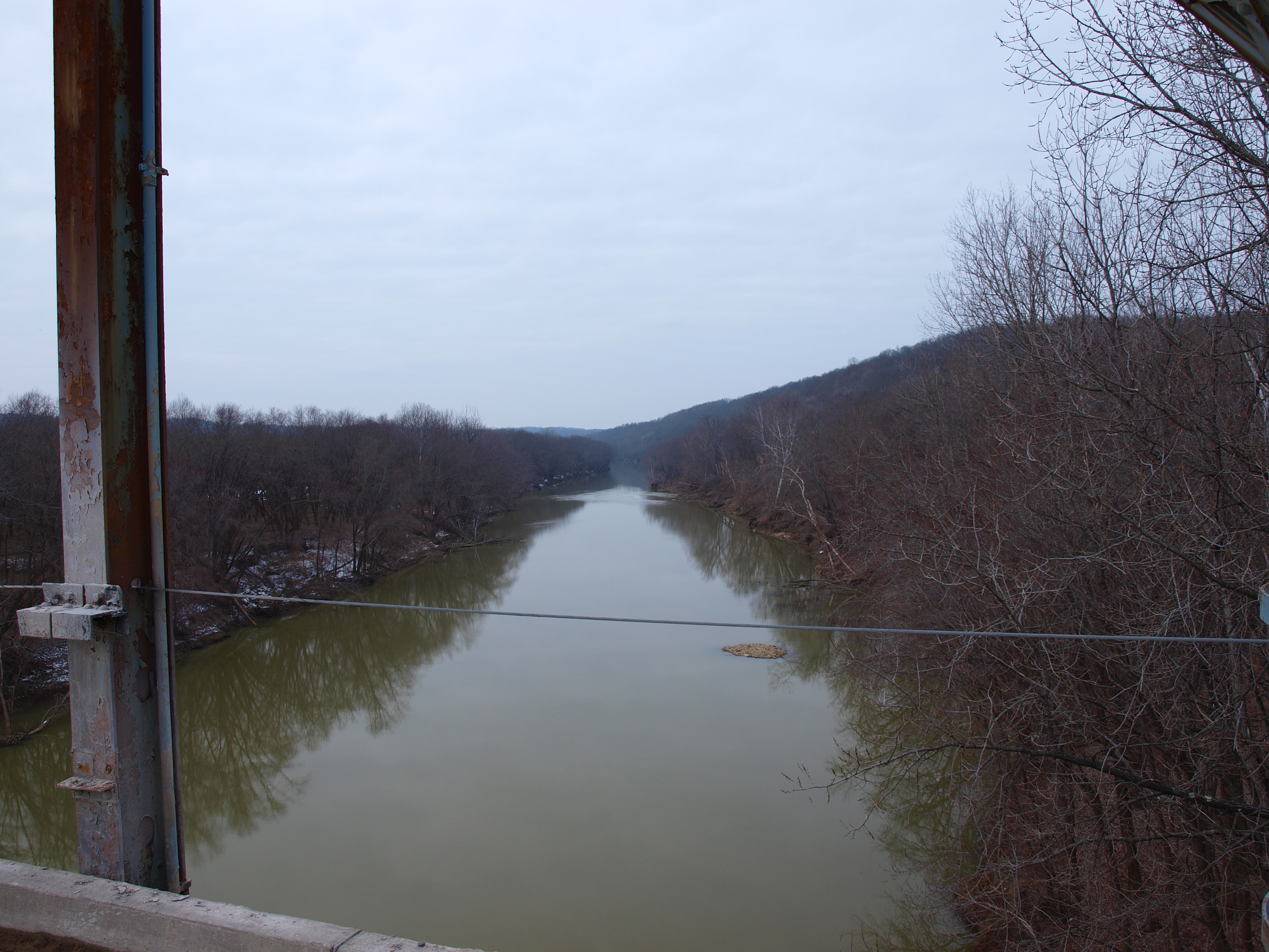
View to north? from Gratz Bridge, Gratz, KY

2013 Project 365 - 253

Kentucky River in flood, covering lock and dam

20110807-14

20110807-17
20110807-13

Kayaking on elkhorn creek 10

Elkhorn creek 4

2013 Project 365 - 197

Kayaking on elkhorn creek 11

Barn with Quilt Square (Owen County, Kentucky)
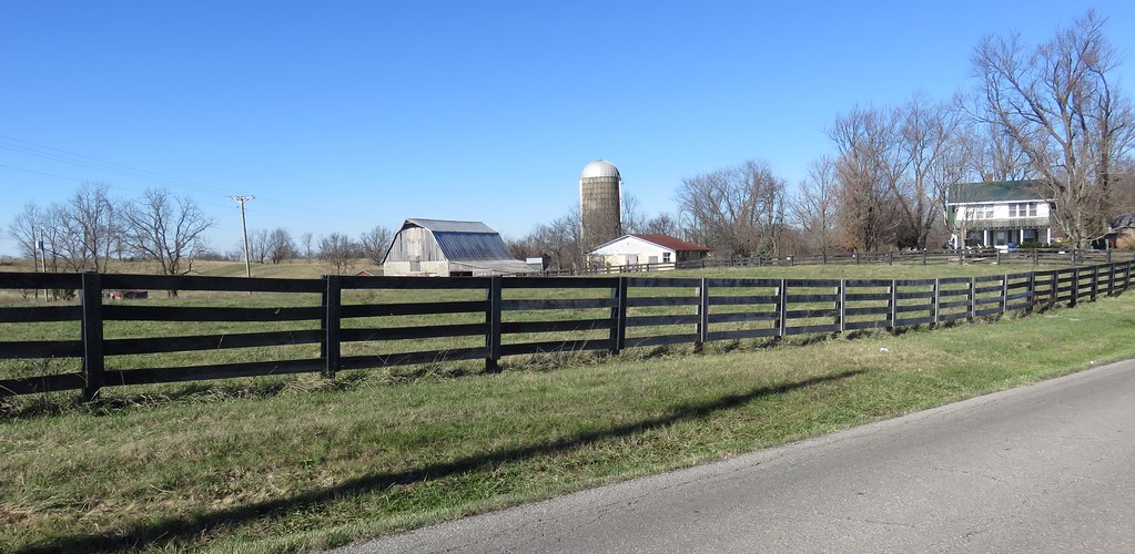
Northern Kentucky Farm (Owen County, Kentucky)
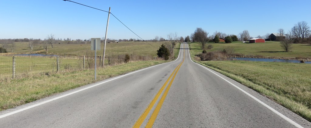
Northern Kentucky Landscape (Henry County, Kentucky)
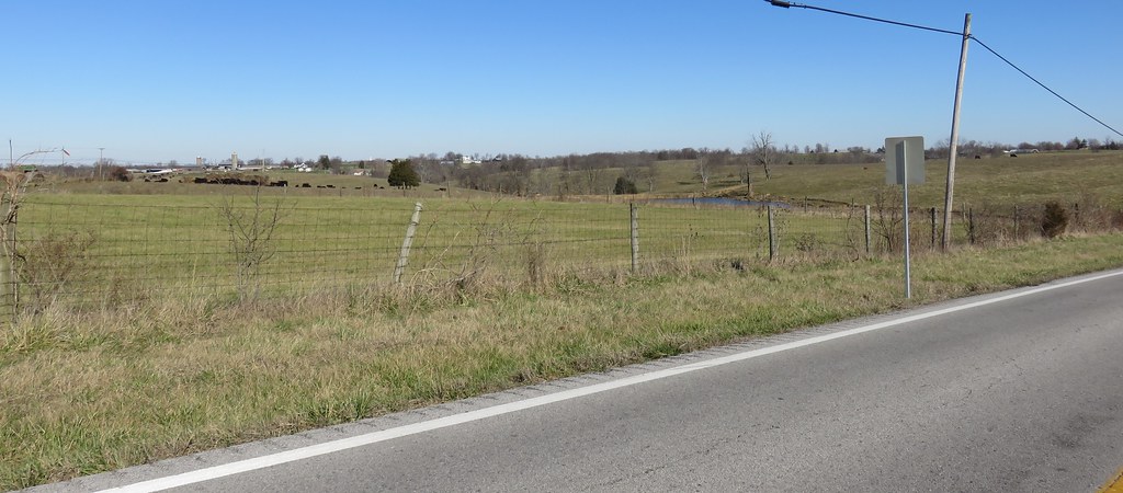
Northern Kentucky Landscape (Henry County, Kentucky)
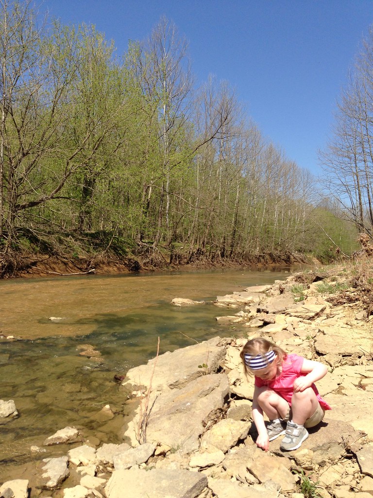
Hike with the kids
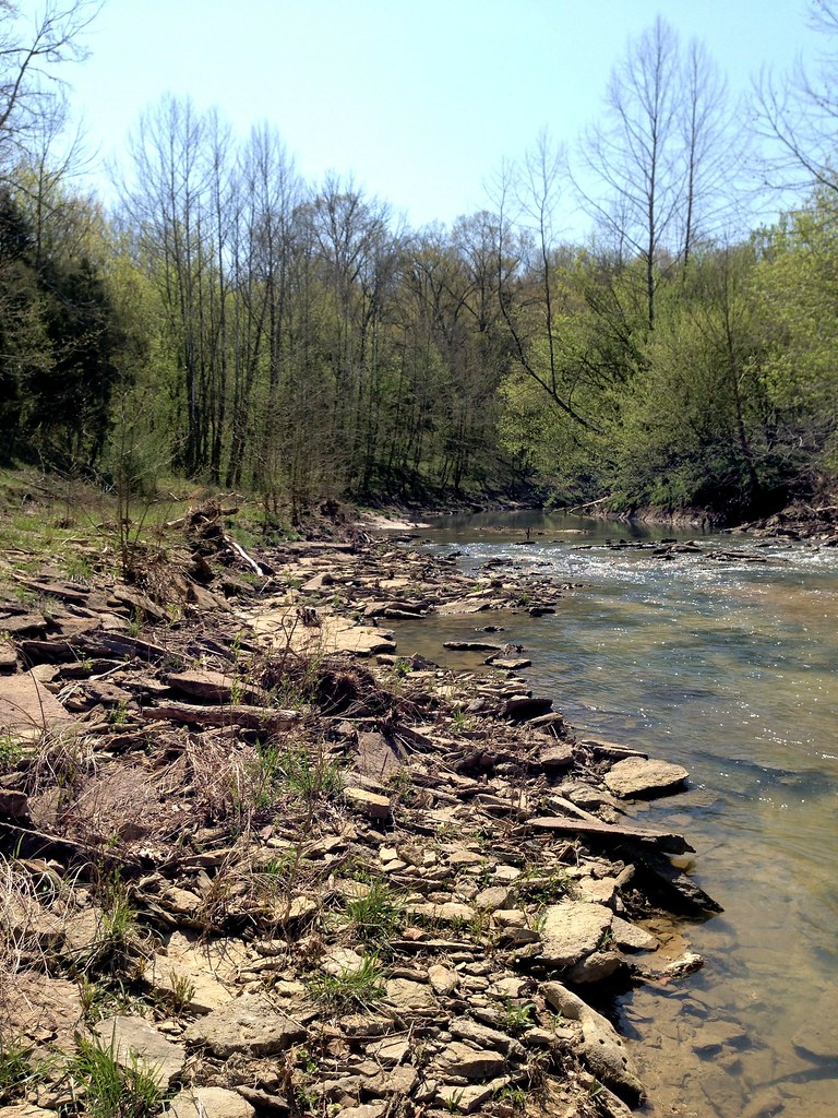
Hike with the kids

Hike with the kids
Topographic Map of Lockport, KY, USA
Find elevation by address:

Places in Lockport, KY, USA:
Places near Lockport, KY, USA:
Lockport-Fallis Rd, Lockport, KY, USA
Gratz
Gest Rd, Pleasureville, KY, USA
State Hwy 22, Owenton, KY, USA
Fallis-Gest Rd, Pleasureville, KY, USA
Green Meadows Drive
High St, Owenton, KY, USA
Squiresville Rd, Owenton, KY, USA
Woods Pike Rd, Pleasureville, KY, USA
Troutman Hill Rd, Campbellsburg, KY, USA
385 Cedar Creek Rd
Drennon Rd, Campbellsburg, KY, USA
Elmburg Rd, Pleasureville, KY, USA
Owenton
Owen County
Port Royal
Port Royal Rd, Port Royal, KY, USA
213 N Main
Pleasureville
Onan Bend Road
Recent Searches:
- Elevation of Corso Fratelli Cairoli, 35, Macerata MC, Italy
- Elevation of Tallevast Rd, Sarasota, FL, USA
- Elevation of 4th St E, Sonoma, CA, USA
- Elevation of Black Hollow Rd, Pennsdale, PA, USA
- Elevation of Oakland Ave, Williamsport, PA, USA
- Elevation of Pedrógão Grande, Portugal
- Elevation of Klee Dr, Martinsburg, WV, USA
- Elevation of Via Roma, Pieranica CR, Italy
- Elevation of Tavkvetili Mountain, Georgia
- Elevation of Hartfords Bluff Cir, Mt Pleasant, SC, USA