Elevation of Woodgate Rd, Lincolnton, NC, USA
Location: United States > North Carolina > Lincoln County > Lincolnton > Lincolnton >
Longitude: -81.259003
Latitude: 35.527868
Elevation: 275m / 902feet
Barometric Pressure: 98KPa
Elevation Map:
Satellite Map:
Related Photos:

God's Light

Cline Farm "Waterfall"

Orange Beauty
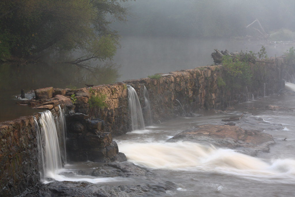
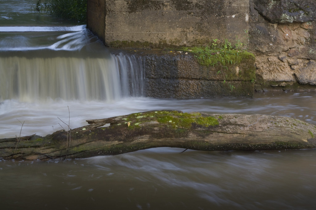
Rhyne Mill Dam
Still Growing...

Grace Union Church

Wildflower at Cline Farm
Lineberger Brothers Cotton from the Backside

Lone Tree in Fog
I had the opportunity and honor of having this view this evening...first time in ~3 yrs. #thankful #audienceofone

Iron Fence (HFF)

CUMC_9-9-2010-019

Indian Summer

Wildflower Bokeh

CUMC_9-9-2010-018
Man vs Nature
Water and Spirit

Toilet Included

My office from a different view. #technology #tech #catawbacounty
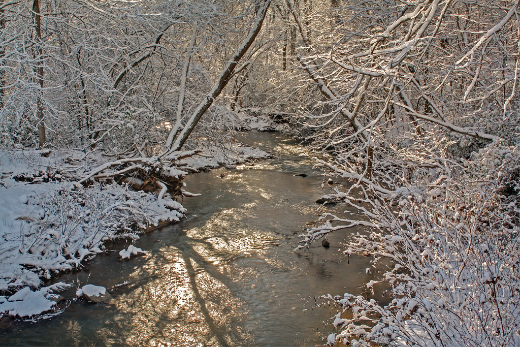
Howard's Creek
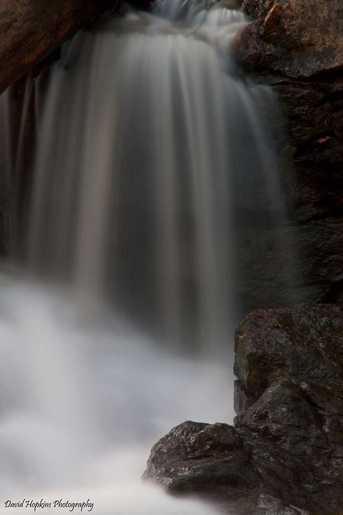
South Fork Cascade

The Perfect Tee Time

American Airlines – Airbus A321-231 N918US
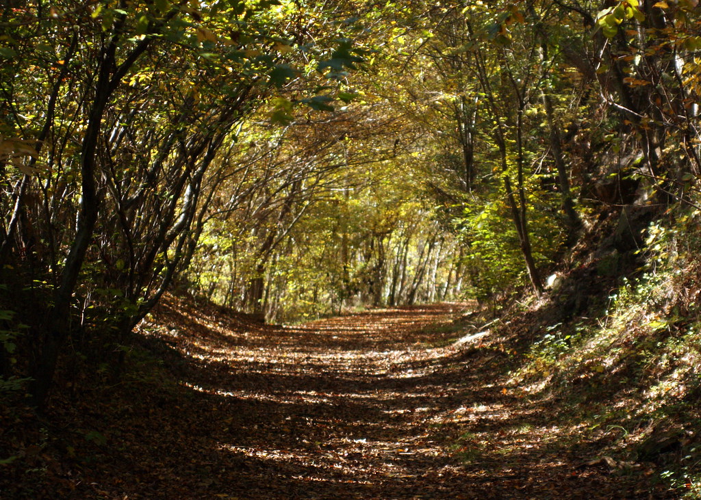
Into the Woods

This morning's sky
Nothing like a freshly cut yard. #itsaguything

Field of Dreams?

Tonight's Sunset 8/12/2010
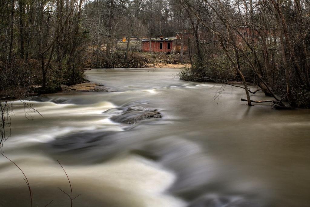
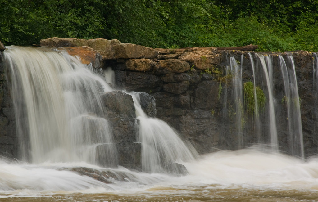
Rhyne Mill on the South Fork River
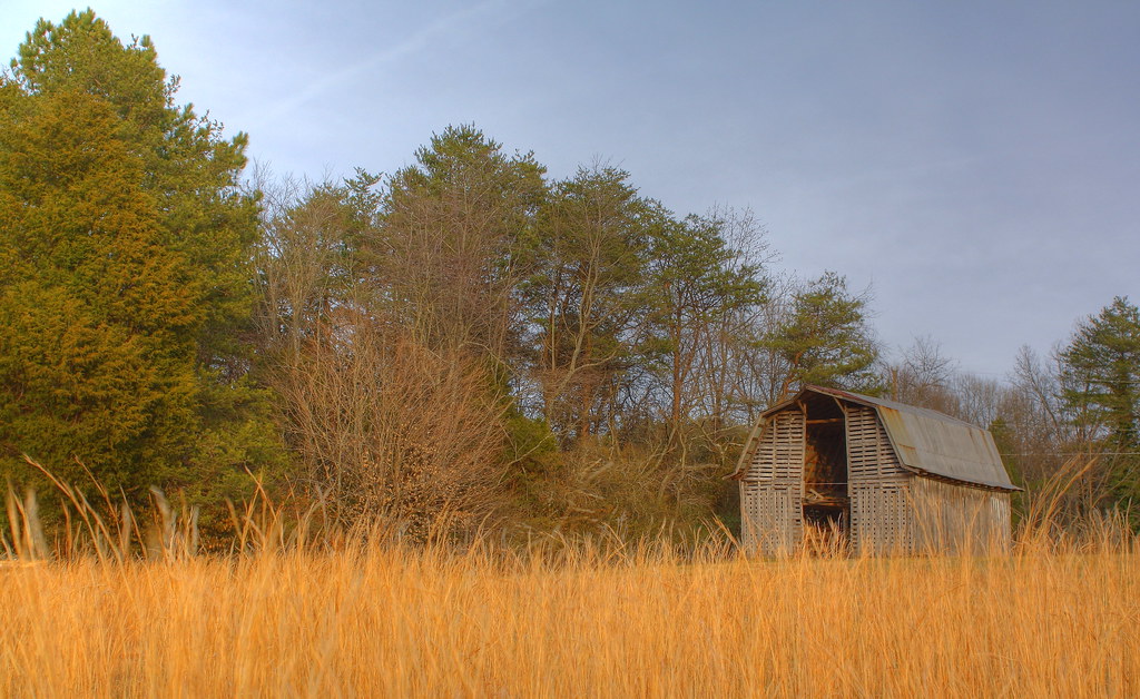
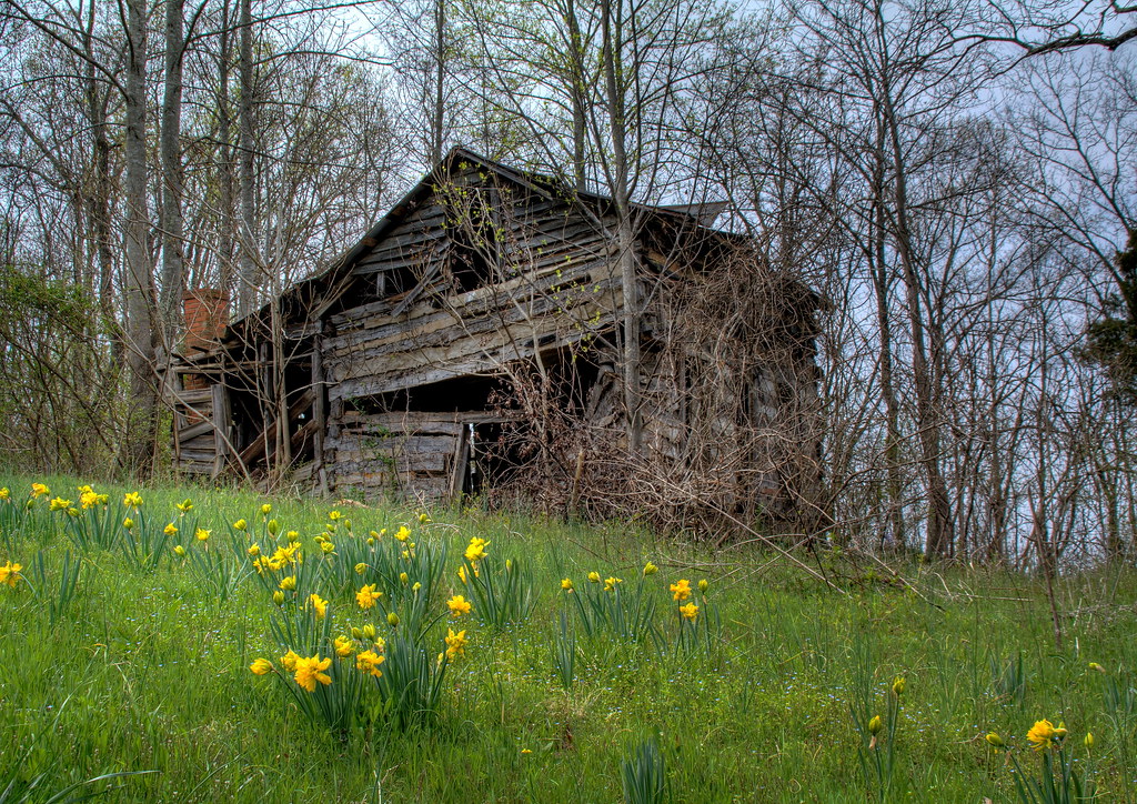
Barn and Broomstraw

Tonight's Sunset in Newton, NC

phone 1
Downpour from a distance #splash
Misty Base

Like mother like daughter...

Tonight's Sunset 8/12/2010

The Morning Show

The Morning Show
Topographic Map of Woodgate Rd, Lincolnton, NC, USA
Find elevation by address:

Places near Woodgate Rd, Lincolnton, NC, USA:
2077 Eva Ct
Highland Bluff Court
4085 Biggerstaff Rd
Maiden
Tonys Way
2601 N Brushwood Cir
Prison Camp Rd, Newton, NC, USA
W North Carolina 10, Newton, NC, USA
Blackburn
1330 Southwest Blvd
2417 Ben Yount Ln
Hardwood Circle
Eastern Catawba Cooperative Christian Ministry, Inc.
East N Street
East N Street
East N Street
1839 Old Latter Rd
1154 Country Club Rd
5005 Brickfield St
Newton
Recent Searches:
- Elevation of Corso Fratelli Cairoli, 35, Macerata MC, Italy
- Elevation of Tallevast Rd, Sarasota, FL, USA
- Elevation of 4th St E, Sonoma, CA, USA
- Elevation of Black Hollow Rd, Pennsdale, PA, USA
- Elevation of Oakland Ave, Williamsport, PA, USA
- Elevation of Pedrógão Grande, Portugal
- Elevation of Klee Dr, Martinsburg, WV, USA
- Elevation of Via Roma, Pieranica CR, Italy
- Elevation of Tavkvetili Mountain, Georgia
- Elevation of Hartfords Bluff Cir, Mt Pleasant, SC, USA