Elevation of Tonys Way, Vale, NC, USA
Location: United States > North Carolina > Lincoln County > Howards Creek > Vale >
Longitude: -81.333451
Latitude: 35.5586789
Elevation: 290m / 951feet
Barometric Pressure: 98KPa
Elevation Map:
Satellite Map:
Related Photos:

Grace Union Church
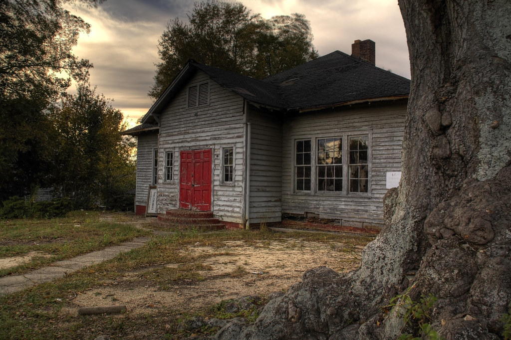
Old Lincolnton Rec Department

Cabin in the Woods

Orange Beauty

God's Light

Rhyne Mill Dam

Cline Farm "Waterfall"

Still Growing...
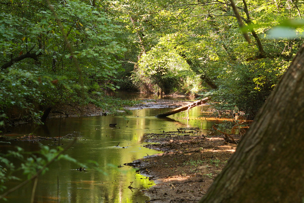
The Creek

Wildflower at Cline Farm

Iron Fence (HFF)

Lone Tree in Fog

Man vs Nature
Small Cascade

Cat Tails at Cline Farm

Good Morning from the Farm!

Christmas Tree

Sunset through the Weeds

Lineberger Brothers Cotton from the Backside
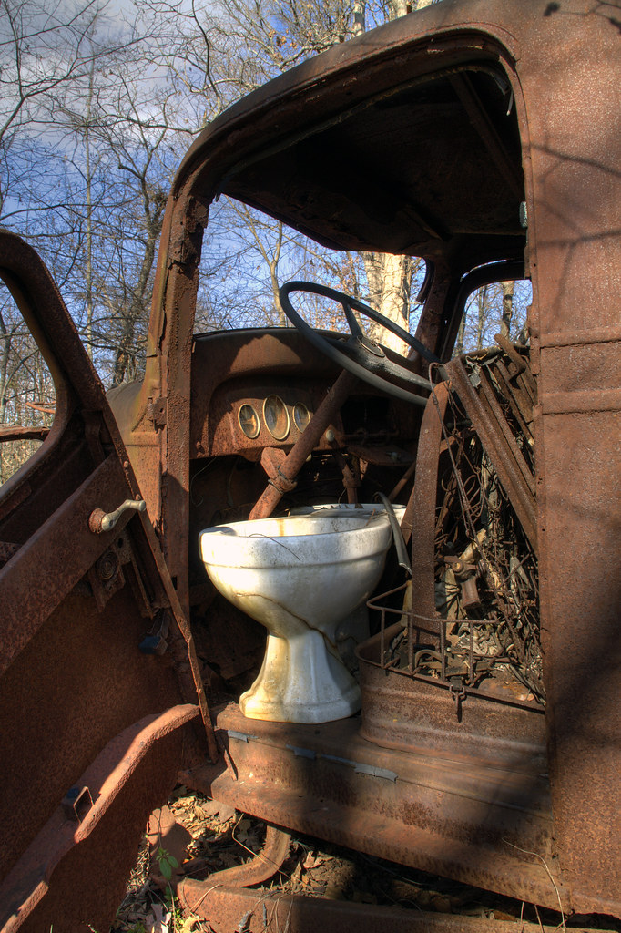
Toilet Included
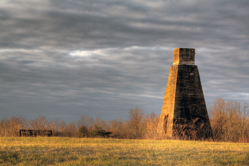
Dr. Foard's "Medicine" Tower

North Carolina Road

Indian Summer

Rhyne Mill on the South Fork River

Clematis April 2018

Barn and Broomstraw

Morning on the farm

Alone #2 151/365

Carolina Morning 275/365

A Bountiful Harvest 295/365

Field of Dreams?
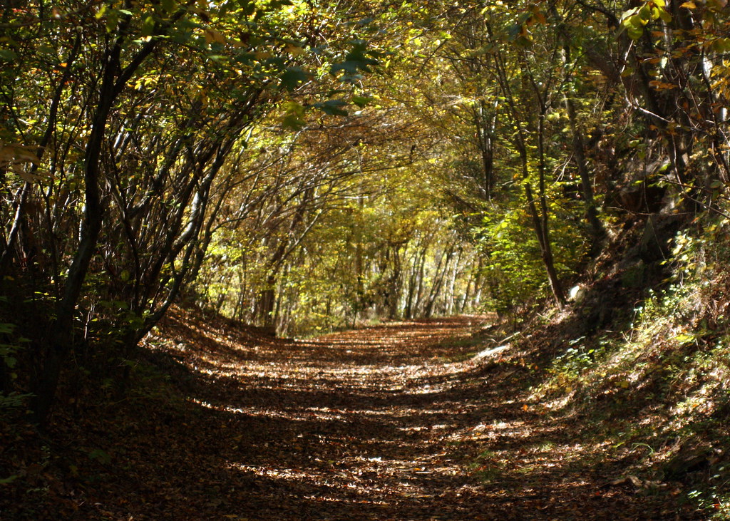
Into the Woods

Catawba County Sunset
Misty Base

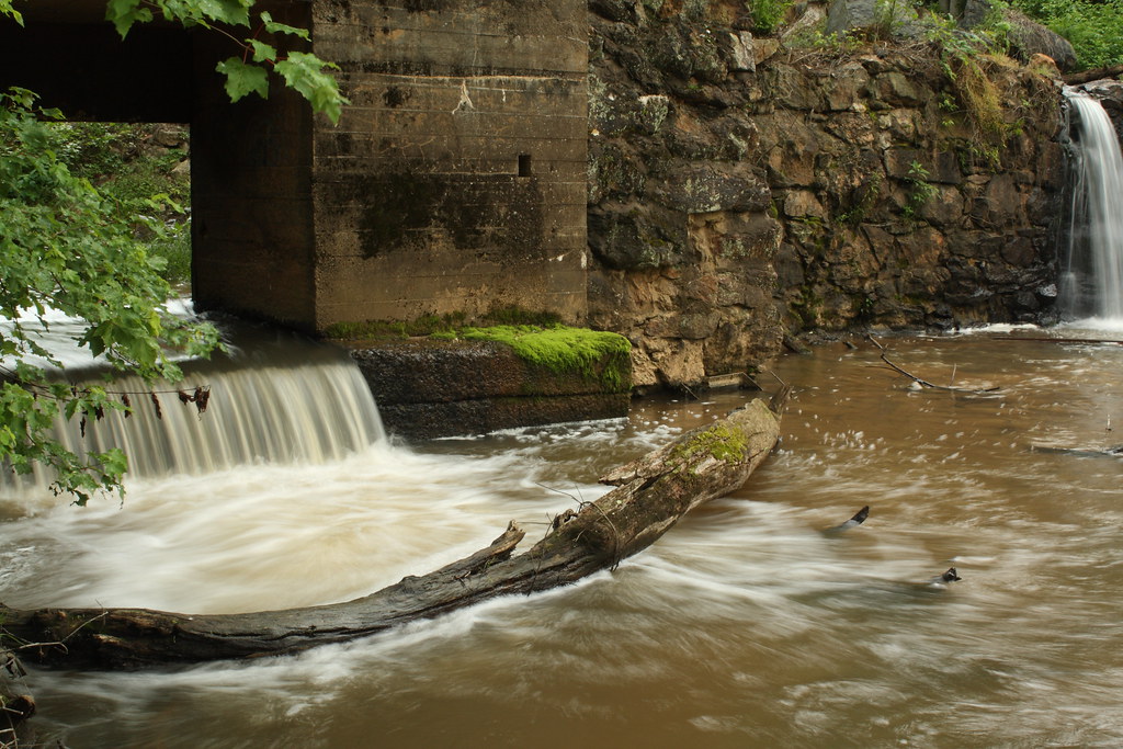
Hole in the Dam

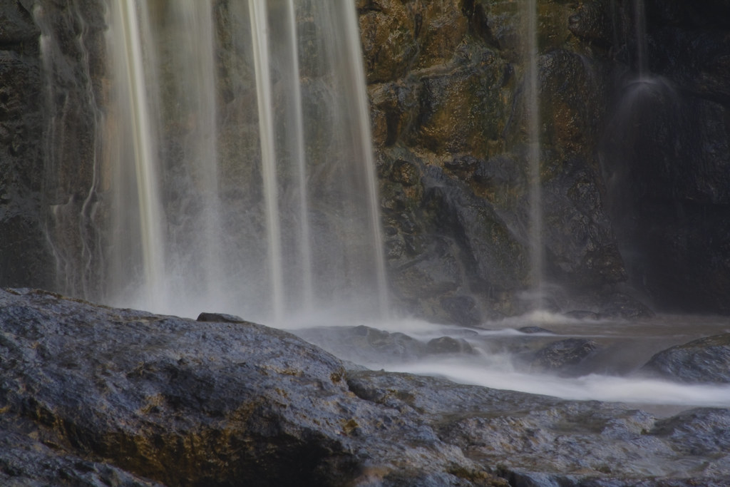
South Fork "Falls" 2

Cline Farm Pond
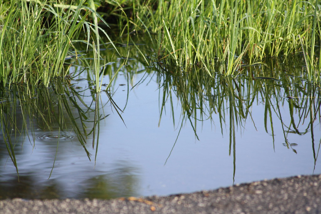
Puddle reflection

Rolling Hills
Topographic Map of Tonys Way, Vale, NC, USA
Find elevation by address:

Places near Tonys Way, Vale, NC, USA:
2417 Ben Yount Ln
W North Carolina 10, Newton, NC, USA
Blackburn
Vale
4085 Biggerstaff Rd
West North Carolina 10
Cat Square Rd, Vale, NC, USA
W North Carolina 10, Vale, NC, USA
2886 Woodgate Rd
2077 Eva Ct
5005 Brickfield St
Cat Square Rd, Vale, NC, USA
Highland Bluff Court
1154 Country Club Rd
1099 Black Walnut Dr
Hardwood Circle
2601 N Brushwood Cir
6076 Thistlebrook Ct
3389 Robinson Rd
Bandy's
Recent Searches:
- Elevation of Corso Fratelli Cairoli, 35, Macerata MC, Italy
- Elevation of Tallevast Rd, Sarasota, FL, USA
- Elevation of 4th St E, Sonoma, CA, USA
- Elevation of Black Hollow Rd, Pennsdale, PA, USA
- Elevation of Oakland Ave, Williamsport, PA, USA
- Elevation of Pedrógão Grande, Portugal
- Elevation of Klee Dr, Martinsburg, WV, USA
- Elevation of Via Roma, Pieranica CR, Italy
- Elevation of Tavkvetili Mountain, Georgia
- Elevation of Hartfords Bluff Cir, Mt Pleasant, SC, USA