Elevation of Lincoln County, NC, USA
Location: United States > North Carolina >
Longitude: -81.207816
Latitude: 35.4637028
Elevation: 289m / 948feet
Barometric Pressure: 98KPa
Elevation Map:
Satellite Map:
Related Photos:

Cabin in the Woods

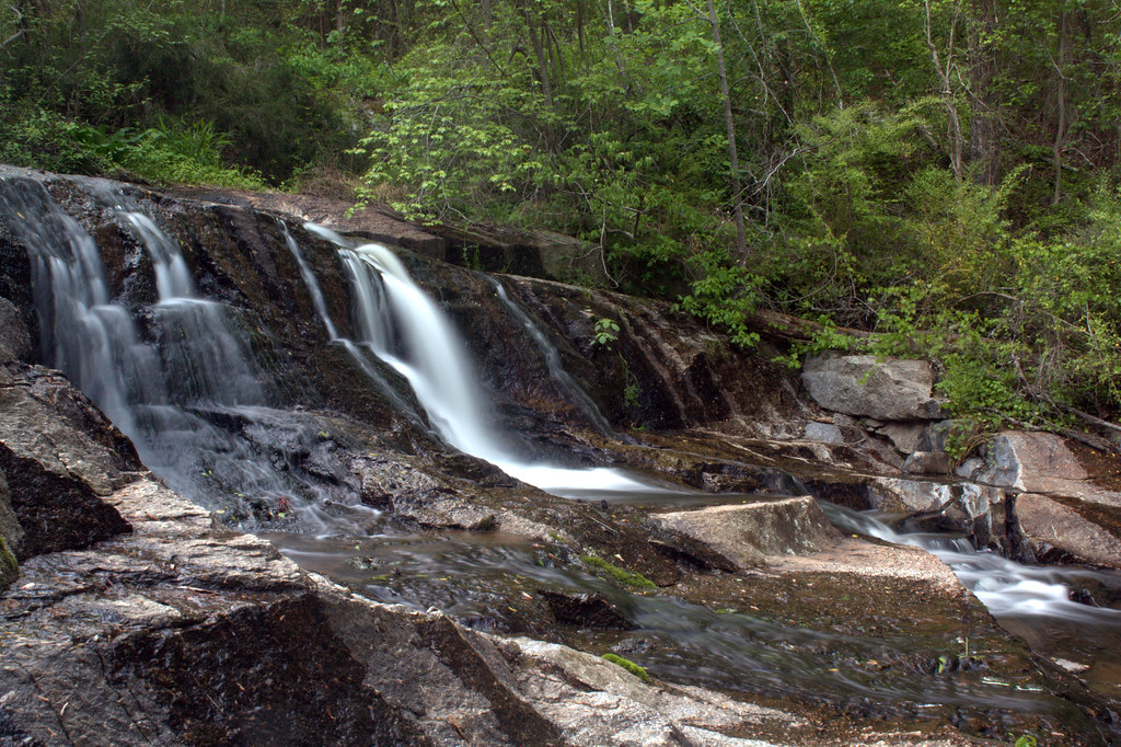
Cline Farm "Waterfall"
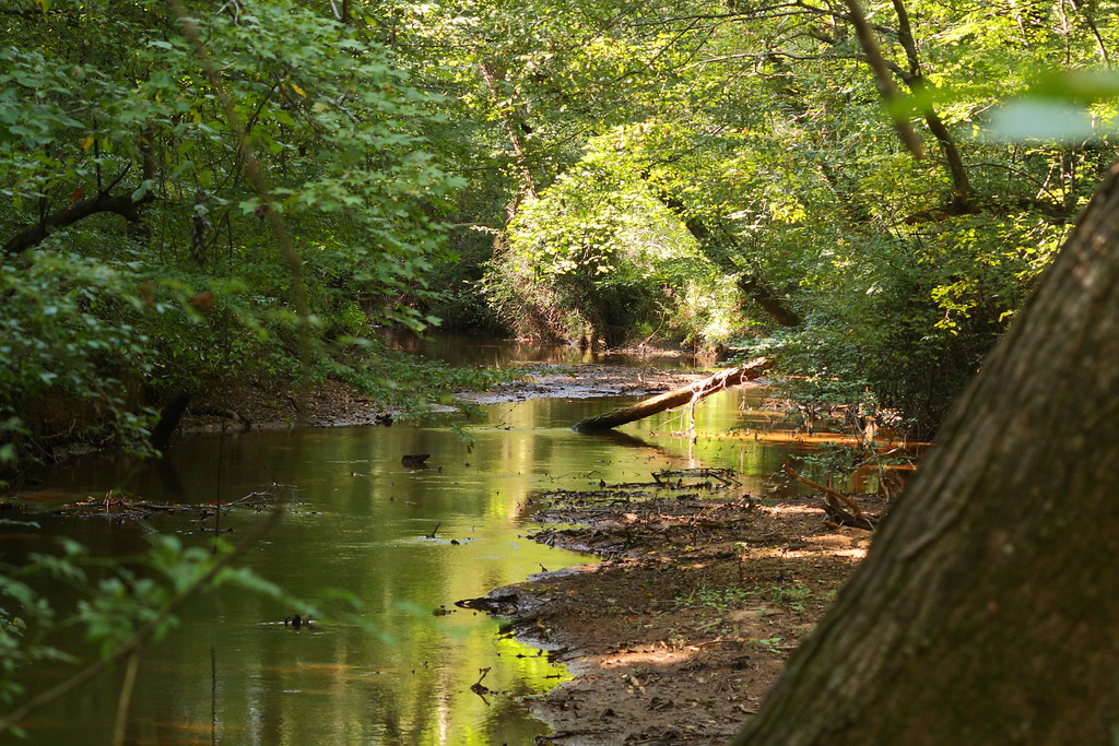
The Creek

Wildflower at Cline Farm

Old Lincolnton Rec Department

10 for 5 Cents

Iron Fence (HFF)
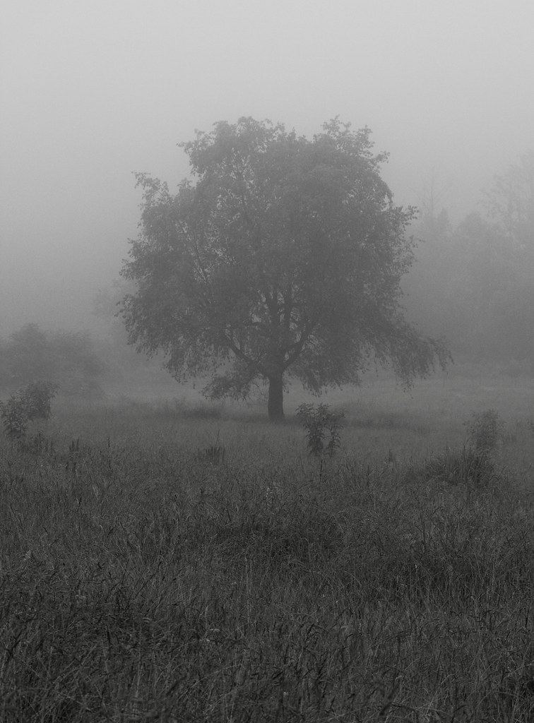
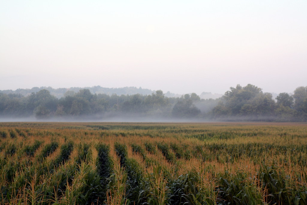
Lone Tree in Fog
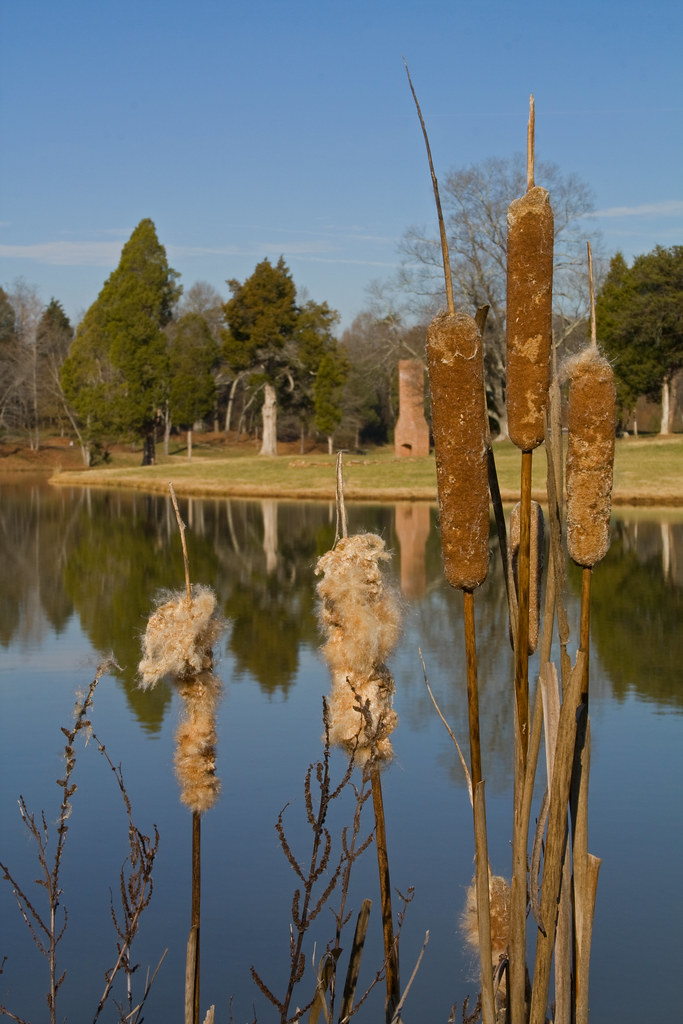
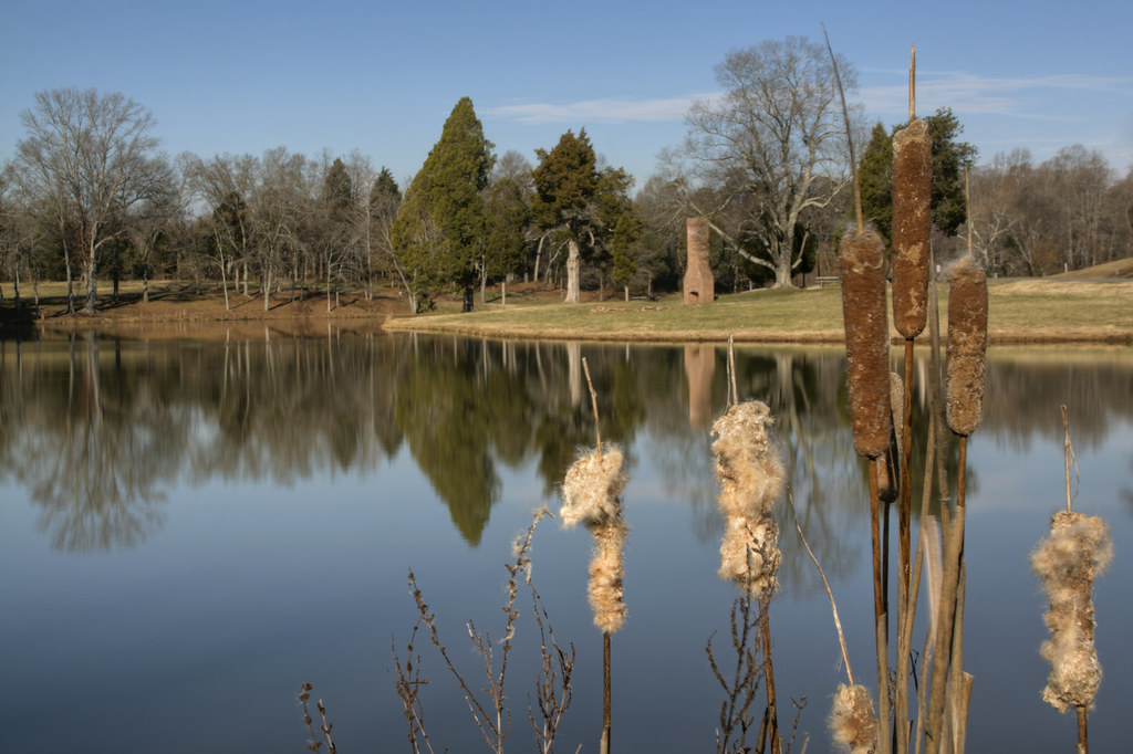
Cat Tails at Cline Farm

Indian Summer
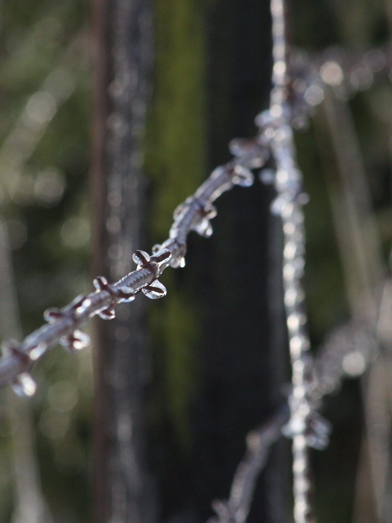
Frozen Barbs
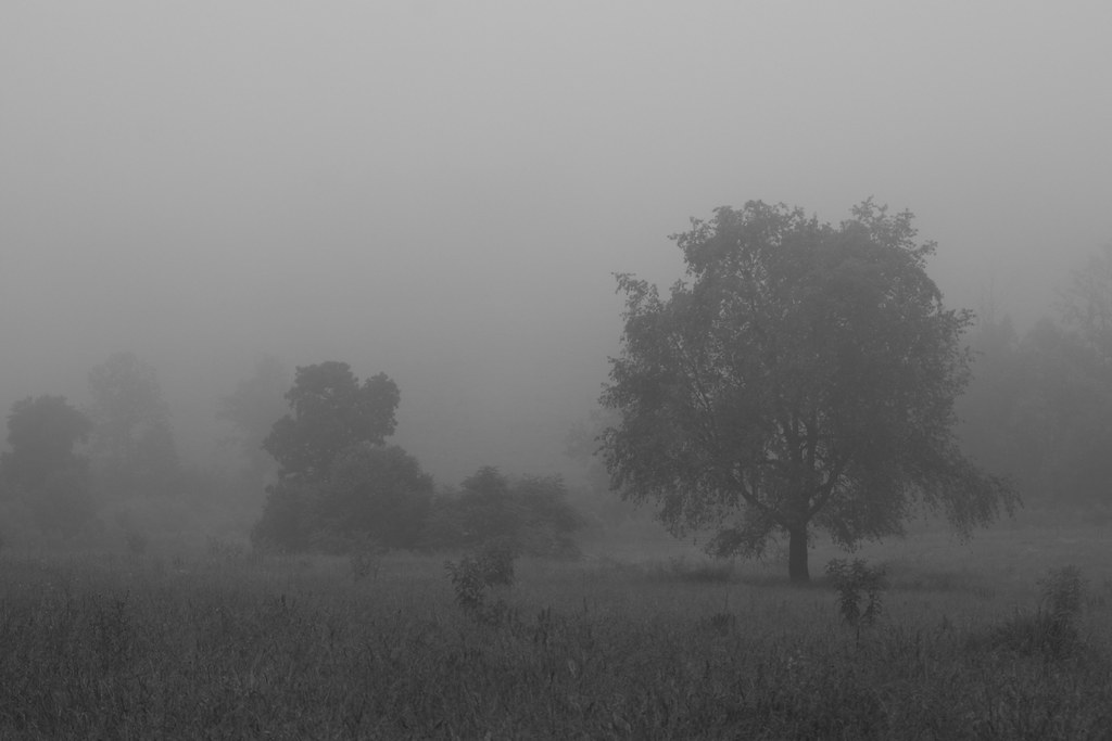
Foggy Pasture

Toilet Included

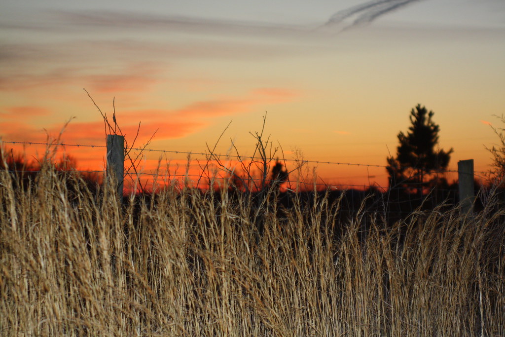
Sunset through the Weeds
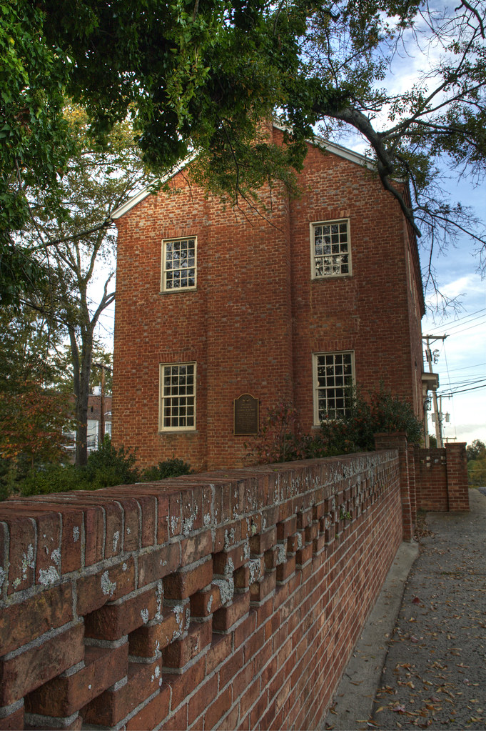
Pleasant Retreat Academy 2
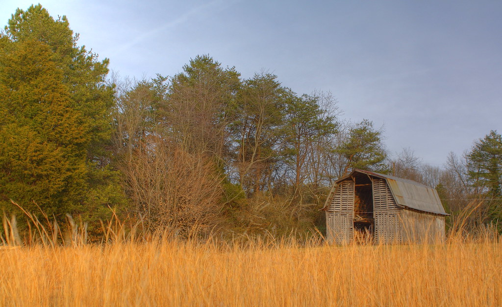
Barn and Broomstraw

Sunset and Silo
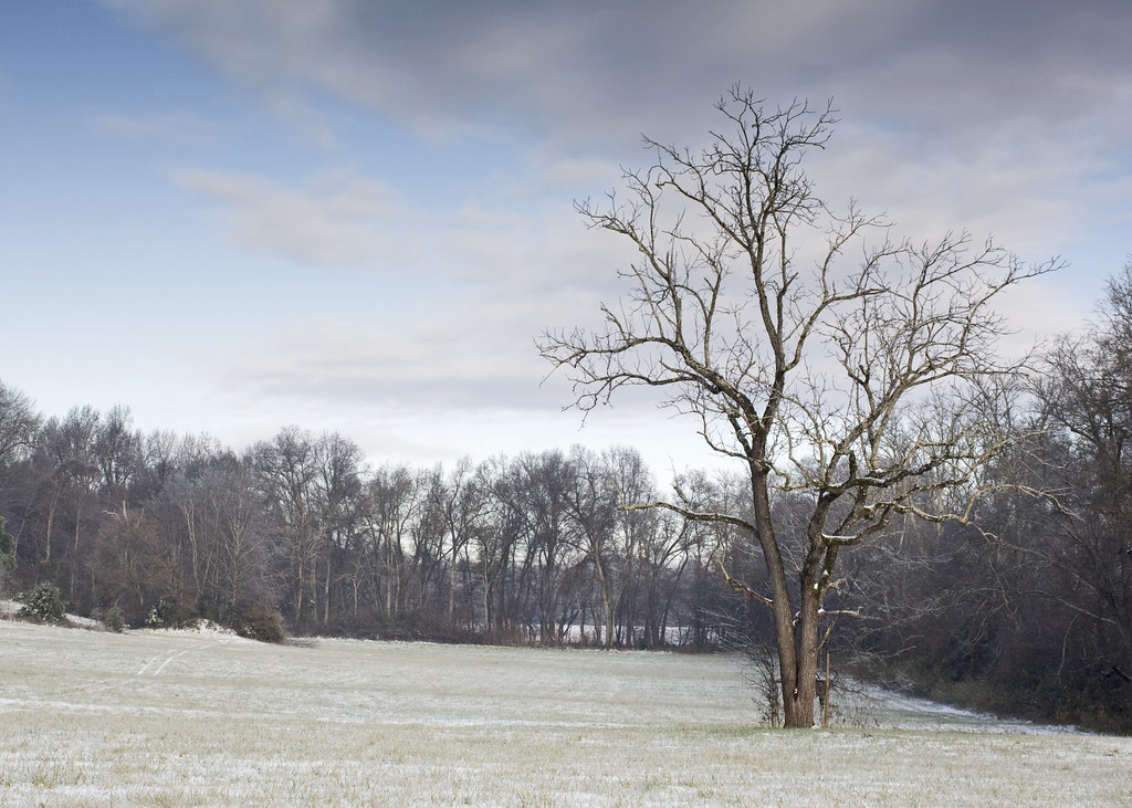
Tree in Field with Snow

Farmall Cub

Saint Luke's Episcopal Church

Howard's Creek
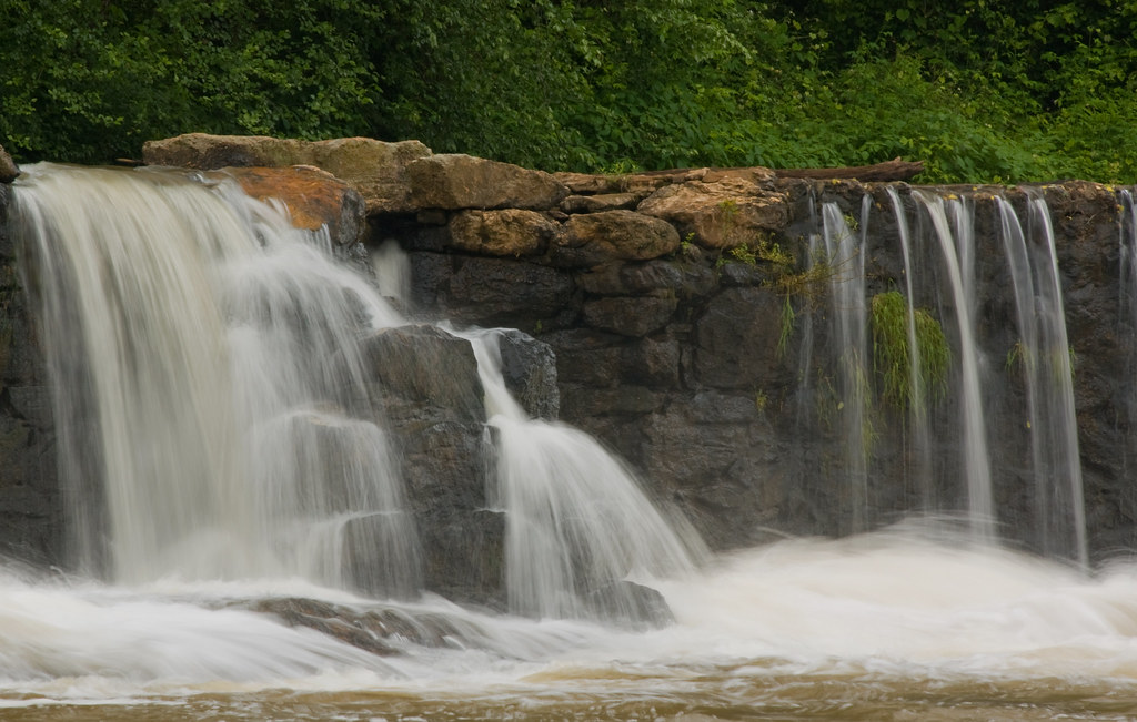
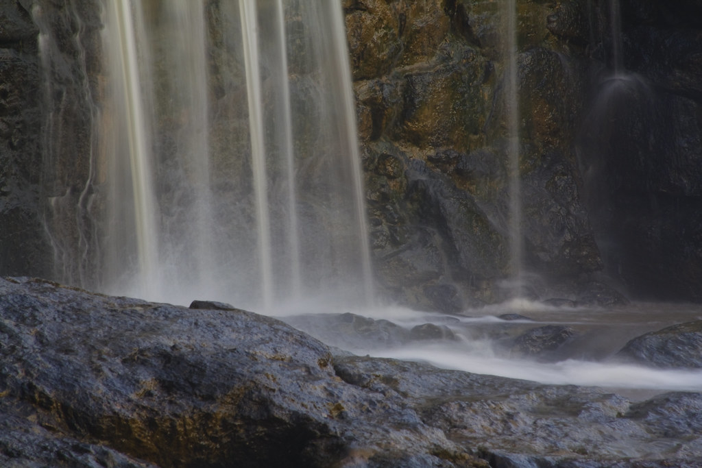
Davis Falls 3
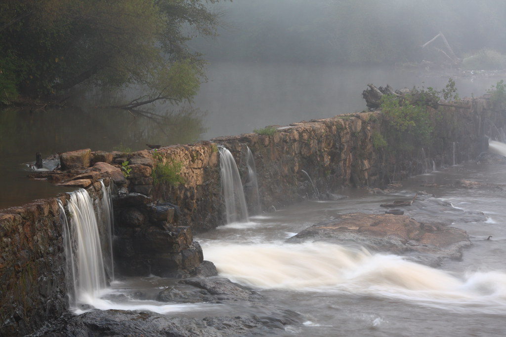
Rhyne Mill Dam

Field of Dreams?
Man vs Nature

Davis Falls
Catawba County Sunset
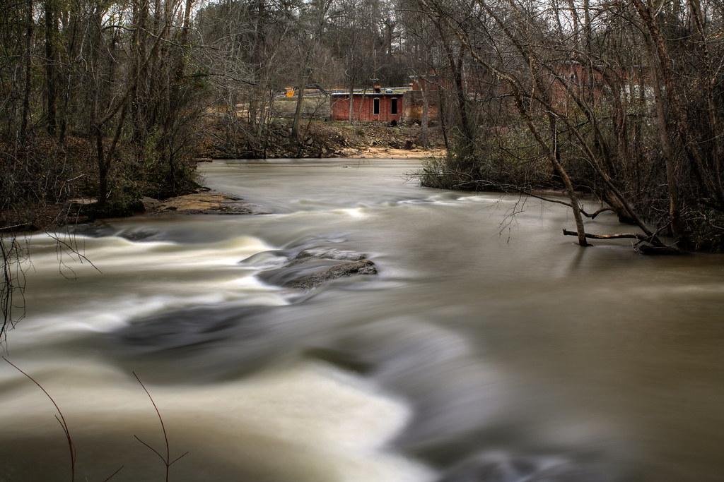
Rhyne Mill on the South Fork River
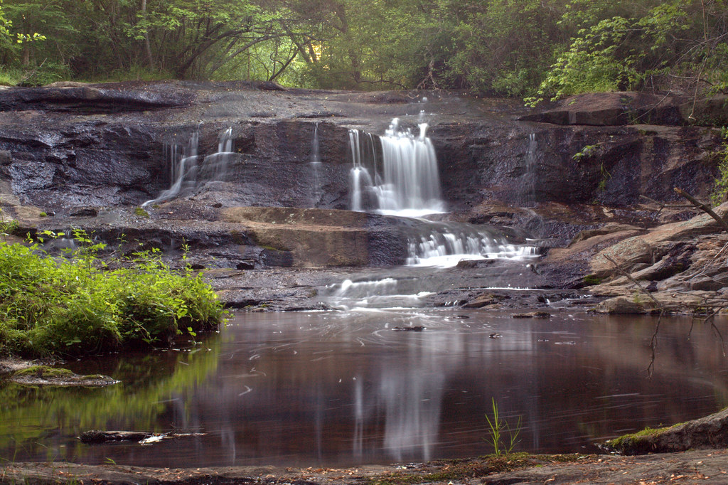
Davis Falls
Misty Base

If the kid's ears were any longer, she'd take flight...

Jupiter Chasing Venus
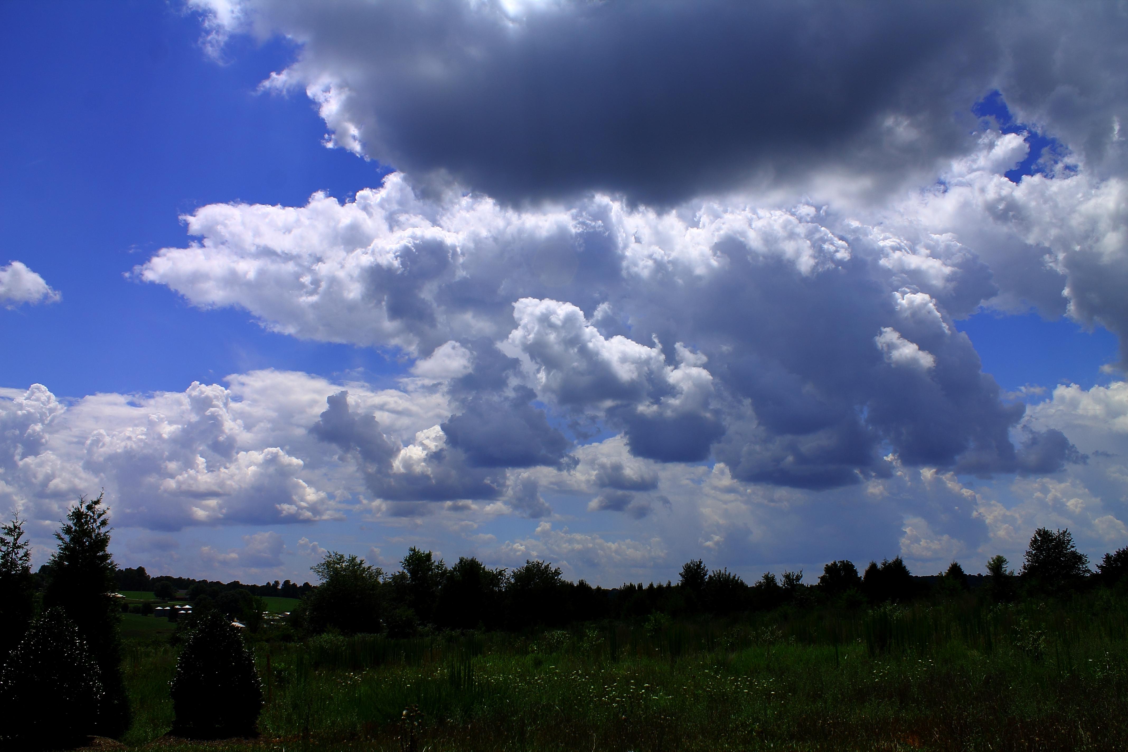
Carolina blue befrore the storm-2

Calm after the storm (2)

Like mother like daughter...

Floppy-eared Friends Flock Together
ToTo are We in Kansas? No! Lincoln County, NC!
Cline Farm Pond
Topographic Map of Lincoln County, NC, USA
Find elevation by address:

Places in Lincoln County, NC, USA:
Places near Lincoln County, NC, USA:
Asbury Church Road
Iron Station
430 Camp Creek Rd
Ironton
Reese Mountain
Charles Raper Jonas Hwy, Alexis, NC, USA
Dallas
Little Mountain Road
Stanley
403 Culloden Rd
214 S Ingleside Farm Rd
Catawba Springs
1100 Nc-27
2072 Lake Vista Drive
1304 Brook Path Trail
Riverbend
Lowesville
Foxlaire Drive
1914 Lark Ln
Bluff Point Lane
Recent Searches:
- Elevation of Corso Fratelli Cairoli, 35, Macerata MC, Italy
- Elevation of Tallevast Rd, Sarasota, FL, USA
- Elevation of 4th St E, Sonoma, CA, USA
- Elevation of Black Hollow Rd, Pennsdale, PA, USA
- Elevation of Oakland Ave, Williamsport, PA, USA
- Elevation of Pedrógão Grande, Portugal
- Elevation of Klee Dr, Martinsburg, WV, USA
- Elevation of Via Roma, Pieranica CR, Italy
- Elevation of Tavkvetili Mountain, Georgia
- Elevation of Hartfords Bluff Cir, Mt Pleasant, SC, USA