Elevation of Iron Station, NC, USA
Location: United States > North Carolina > Lincoln County > Ironton >
Longitude: -81.156189
Latitude: 35.4415237
Elevation: -10000m / -32808feet
Barometric Pressure: 295KPa
Elevation Map:
Satellite Map:
Related Photos:

God's Light
Small Cascade

A Short View of Long Creek

Davis Falls 3

Orange Beauty

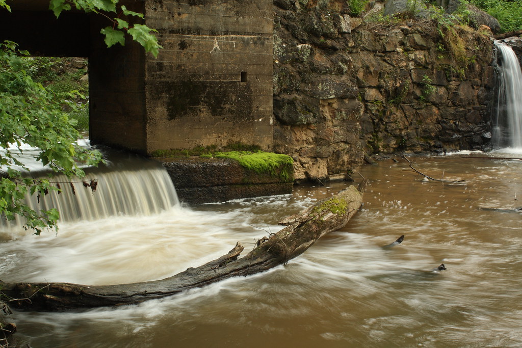
Rhyne Mill Dam

Cline Farm "Waterfall"

Old Lincolnton Rec Department
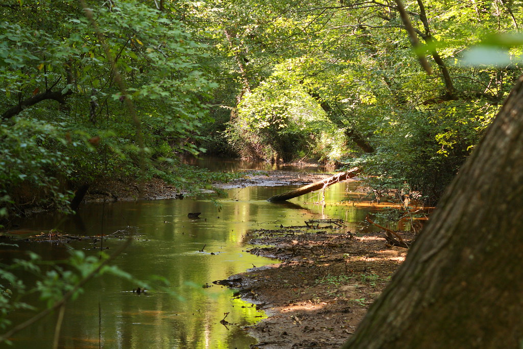
The Creek

Wildflower at Cline Farm

Iron Fence (HFF)

Man vs Nature

Cat Tails at Cline Farm

Just out of the Kiln

Sunset through the Weeds

Lineberger Brothers Cotton from the Backside
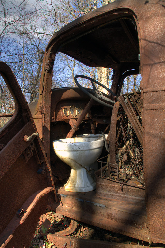
Toilet Included

Indian Summer

Water and Spirit

Rhyne Mill Dam

Frozen Barbs

Rhyne Mill on the South Fork River

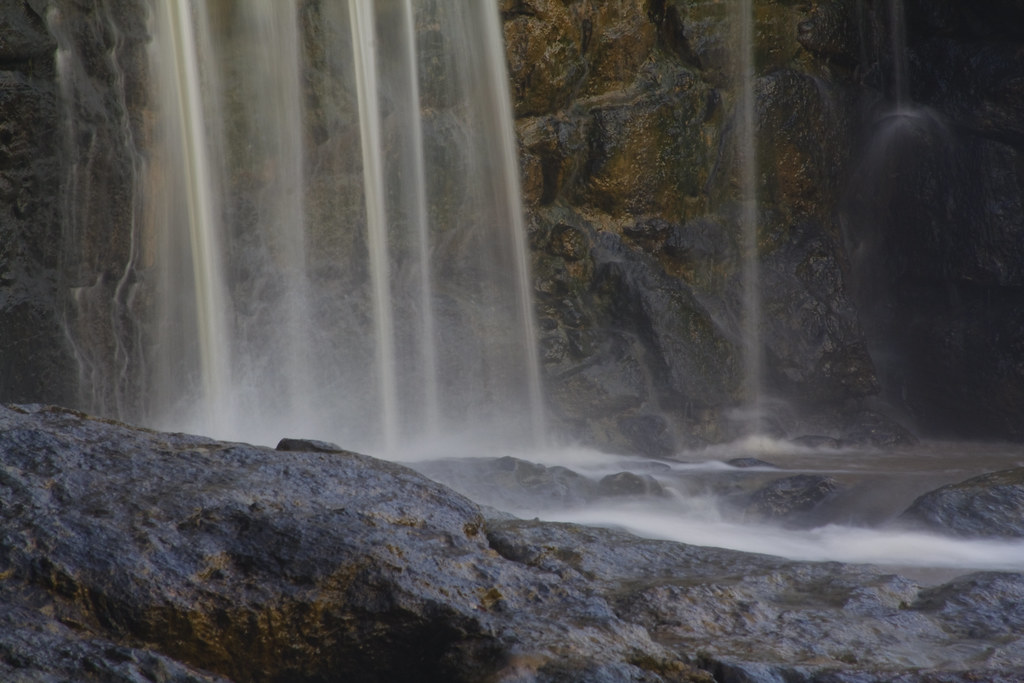
Davis Falls

Davis Falls

Barn and Broomstraw

Clematis April 2018

Tryon Sunrise

Field_Denver-2050

Field of Dreams?
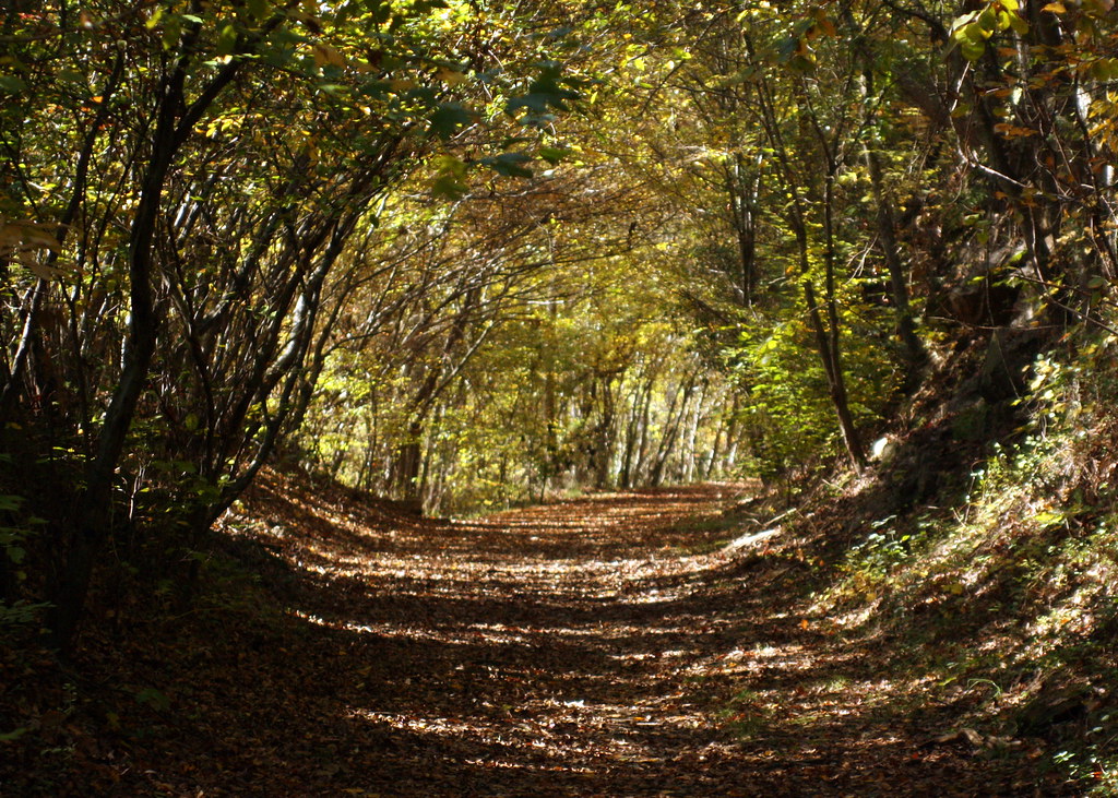
Into the Woods
Misty Base

Hole in the Dam

South Fork "Falls" 2

20160709 114839 1SL6

Cline Farm Pond
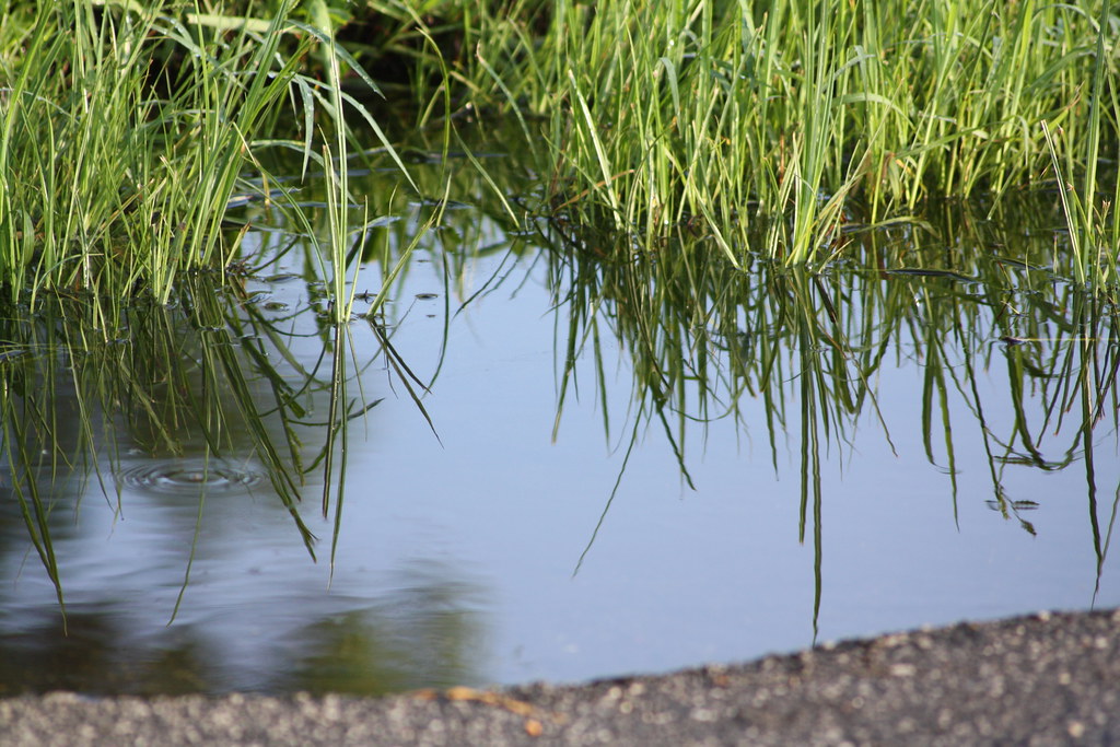
Puddle reflection

South Fork River

Lincoln County Swamp? Frozen
Topographic Map of Iron Station, NC, USA
Find elevation by address:

Places in Iron Station, NC, USA:
Places near Iron Station, NC, USA:
430 Camp Creek Rd
Ironton
Reese Mountain
Asbury Church Road
Lincoln County
Charles Raper Jonas Hwy, Alexis, NC, USA
Little Mountain Road
Dallas
Stanley
403 Culloden Rd
214 S Ingleside Farm Rd
Catawba Springs
1100 Nc-27
2072 Lake Vista Drive
Riverbend
1304 Brook Path Trail
Lowesville
Foxlaire Drive
1914 Lark Ln
Bluff Point Lane
Recent Searches:
- Elevation of Corso Fratelli Cairoli, 35, Macerata MC, Italy
- Elevation of Tallevast Rd, Sarasota, FL, USA
- Elevation of 4th St E, Sonoma, CA, USA
- Elevation of Black Hollow Rd, Pennsdale, PA, USA
- Elevation of Oakland Ave, Williamsport, PA, USA
- Elevation of Pedrógão Grande, Portugal
- Elevation of Klee Dr, Martinsburg, WV, USA
- Elevation of Via Roma, Pieranica CR, Italy
- Elevation of Tavkvetili Mountain, Georgia
- Elevation of Hartfords Bluff Cir, Mt Pleasant, SC, USA