Elevation of Woodbrier Estates Rd, Alderson, WV, USA
Location: United States > West Virginia > Greenbrier County > Eastern > Alderson >
Longitude: -80.591525
Latitude: 37.749817
Elevation: 732m / 2402feet
Barometric Pressure: 0KPa
Related Photos:

Carnegie Hall - Greenbrier Community College

Beyond the Sunset

View from Alderson (WV) Cemetery

Sunset Terrace Motel - Lewisburg, West Virginia

View from Alderson (WV) Cemetery

Snowflake WV: West Virginia: Snowflake Quarry

View from Alderson Cemetery (WV)

Alderson WV

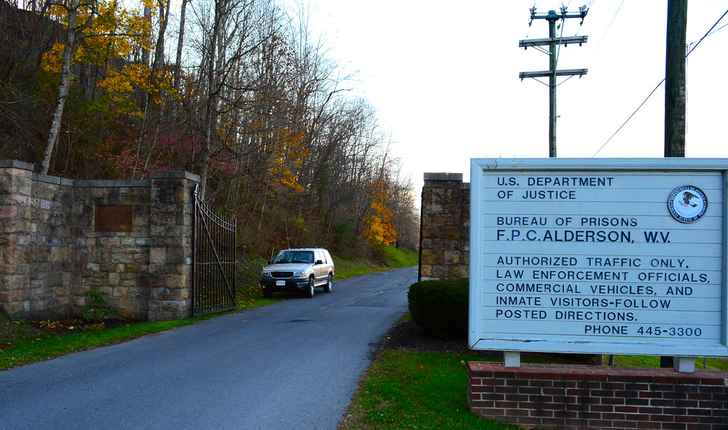
Alderson WV Women's Reformatory
Crossing the Greenbrier in the summer

The Sun is setting on a winter day in the Greenbrier Valley

Across the Tracks
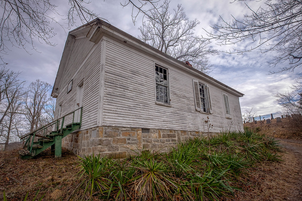
River View Church
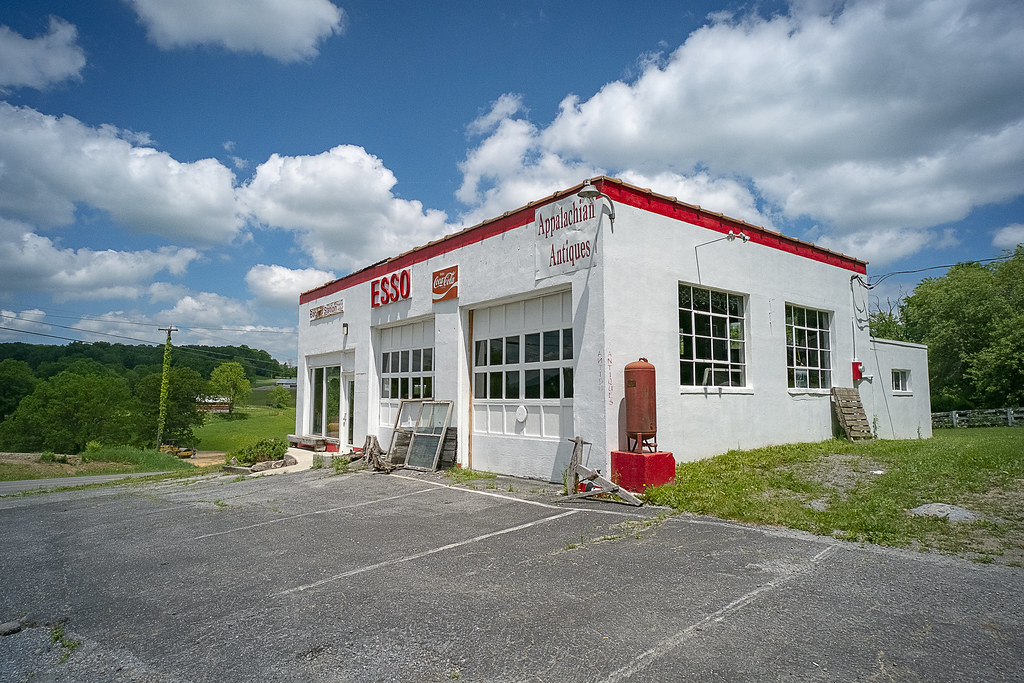
Esso Station

Hokes Mill Bridge 2

Winter along the Greenbrier River

Morlunda Barn

Winter's Afterglow in the Greenbrier Valley: Haiku #16
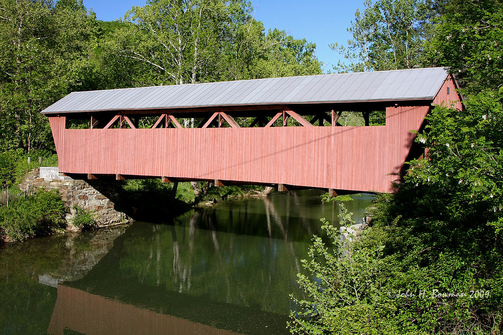
Hokes Mill Bridge

Alderson Cemetery (WV)

Past the point of no return

Wolf Creek Church

Mt. Vernon Church and Cemetery

Farmhouse on Flat Mountain (2 of 2)

Farmhouse on Flat Mountain (1 of 2)

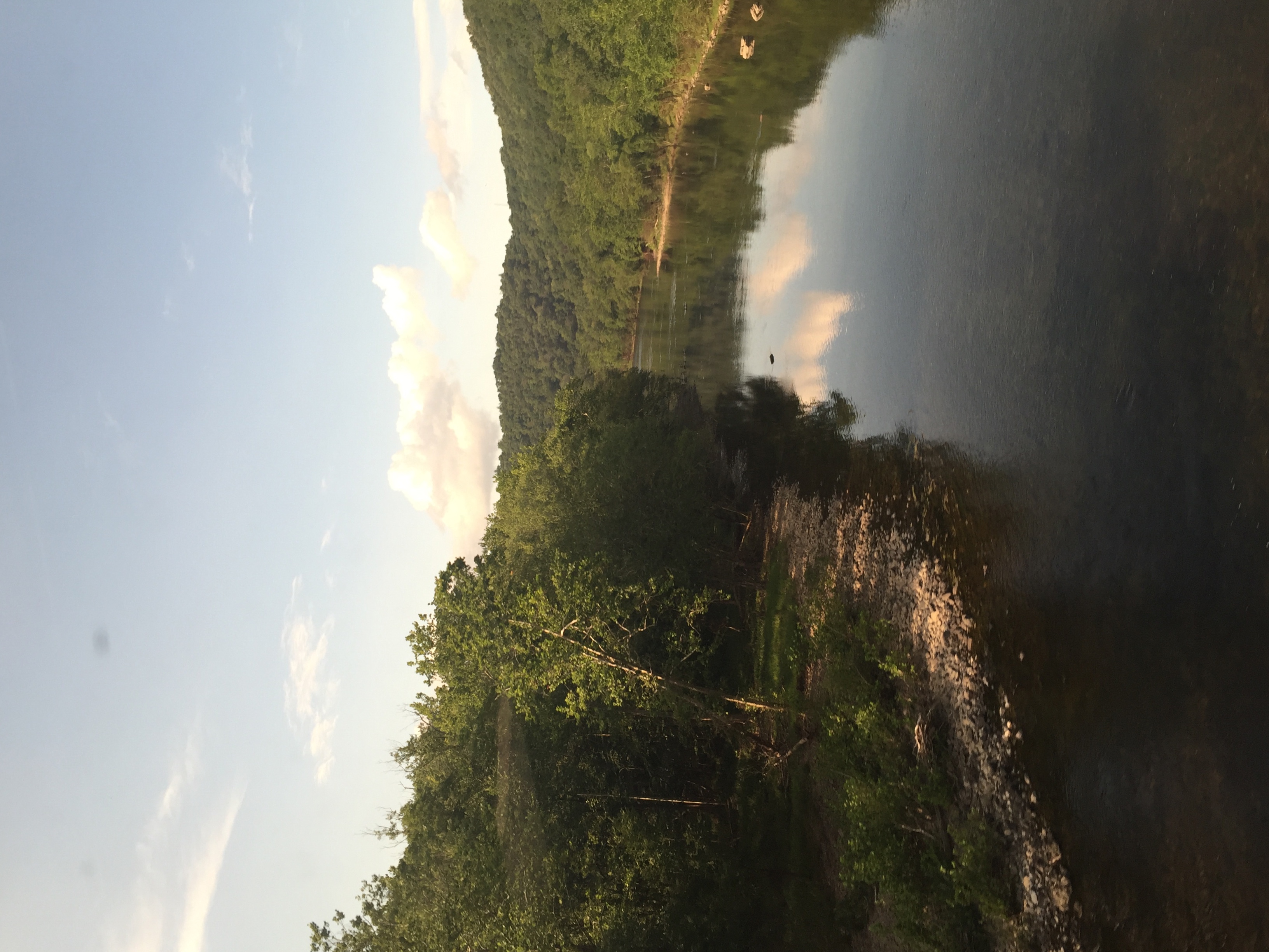
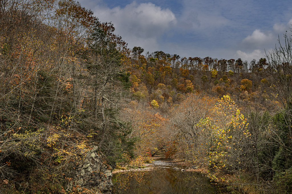
The Greenbrier River in Alderson, WV

West Virginia: Crossing the Greenbrier River at Caldwell

Sylvan Art

Lewisburg Sunset (Week 1)

2013.11.08.08 West Virginia
2013.11.08.05 West Virginia
Fall Colors on Second Creek

Wolf Creek Church_BW

Lost World Caverns - "Ice Cream Wall"

Lost World Caverns

Lost World Caverns
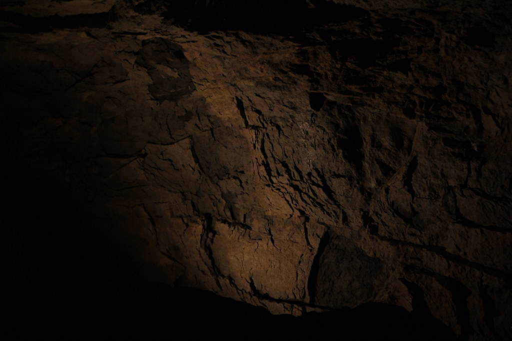
Organ Cave

Lost World Caverns

Lost World Caverns

Blue Sulphur Springs from a distance
Topographic Map of Woodbrier Estates Rd, Alderson, WV, USA
Find elevation by address:

Places near Woodbrier Estates Rd, Alderson, WV, USA:
599 Woodbrier Estates Rd
Muddy Creek Mountain Road
Alderson
Alderson Station
West Maple Avenue
495 Big Branch Rd
Fort Springs Road
Sinks Grove
Wolf Creek Rd, Sinks Grove, WV, USA
Riverside Rest Rd, Alderson, WV, USA
Sinks Grove, WV, USA
Pence Springs
Lowell Rd, Pence Springs, WV, USA
Hungards Creek Road
West Virginia 12
4443 Judson Rd
Red Sulphur Turnpike
Talcott
New River
Avalon Way
Recent Searches:
- Elevation of 107, Big Apple Road, East Palatka, Putnam County, Florida, 32131, USA
- Elevation of Jiezi, Chongzhou City, Sichuan, China
- Elevation of Chongzhou City, Sichuan, China
- Elevation of Huaiyuan, Chongzhou City, Sichuan, China
- Elevation of Qingxia, Chengdu, Sichuan, China
- Elevation of Corso Fratelli Cairoli, 35, Macerata MC, Italy
- Elevation of Tallevast Rd, Sarasota, FL, USA
- Elevation of 4th St E, Sonoma, CA, USA
- Elevation of Black Hollow Rd, Pennsdale, PA, USA
- Elevation of Oakland Ave, Williamsport, PA, USA
- Elevation of Pedrógão Grande, Portugal
- Elevation of Klee Dr, Martinsburg, WV, USA
- Elevation of Via Roma, Pieranica CR, Italy
- Elevation of Tavkvetili Mountain, Georgia
- Elevation of Hartfords Bluff Cir, Mt Pleasant, SC, USA
- Elevation of SW Barberry Dr, Beaverton, OR, USA
- Elevation of Old Ahsahka Grade, Ahsahka, ID, USA
- Elevation of State Hwy F, Pacific, MO, USA
- Elevation of Chemin de Bel air, Chem. de Bel air, Mougins, France
- Elevation of Cloverdale Dr, Bloomingdale, GA, USA