Elevation of Fort Springs Road, Fort Springs Rd, Eastern, WV, USA
Location: United States > West Virginia > Monroe County > Eastern > Sinks Grove >
Longitude: -80.540855
Latitude: 37.6643267
Elevation: 670m / 2198feet
Barometric Pressure: 94KPa
Elevation Map:
Satellite Map:
Related Photos:

Beyond the Sunset

View from Alderson (WV) Cemetery

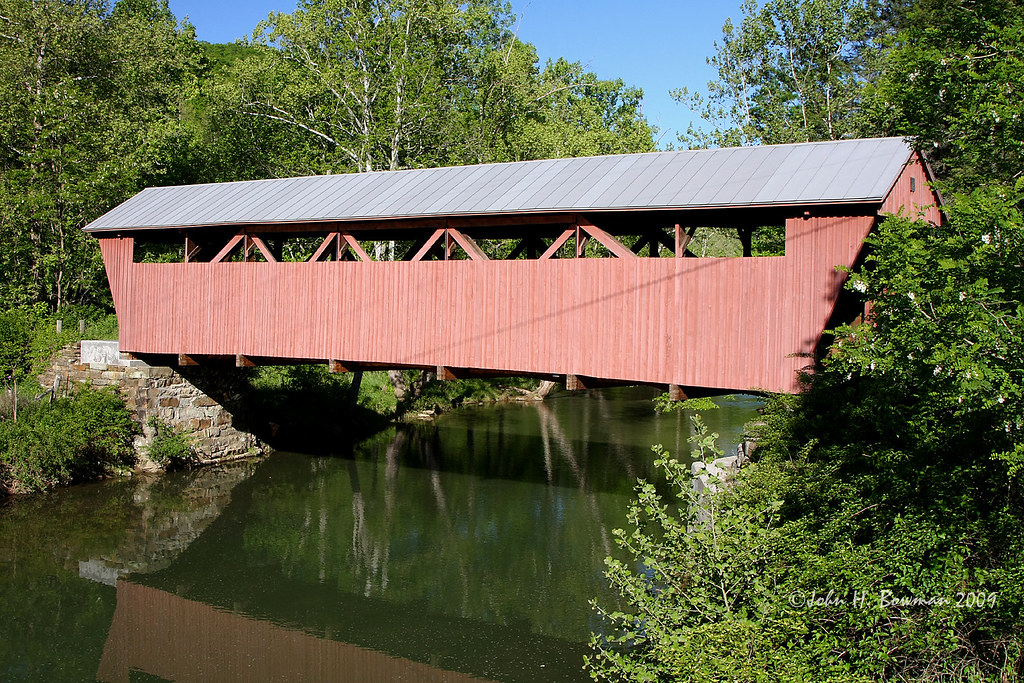
Indian Creek Covered Bridge

Hokes Mill Bridge 2

View from Alderson (WV) Cemetery
Hokes Mill Bridge

Alderson Cemetery (WV)

Out to pasture

Indian Creek Bridge 2 - West Virginia

Laurel Creek Bridge - West Virginia

Across the Tracks
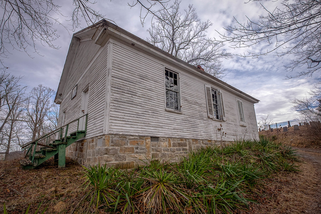
River View Church
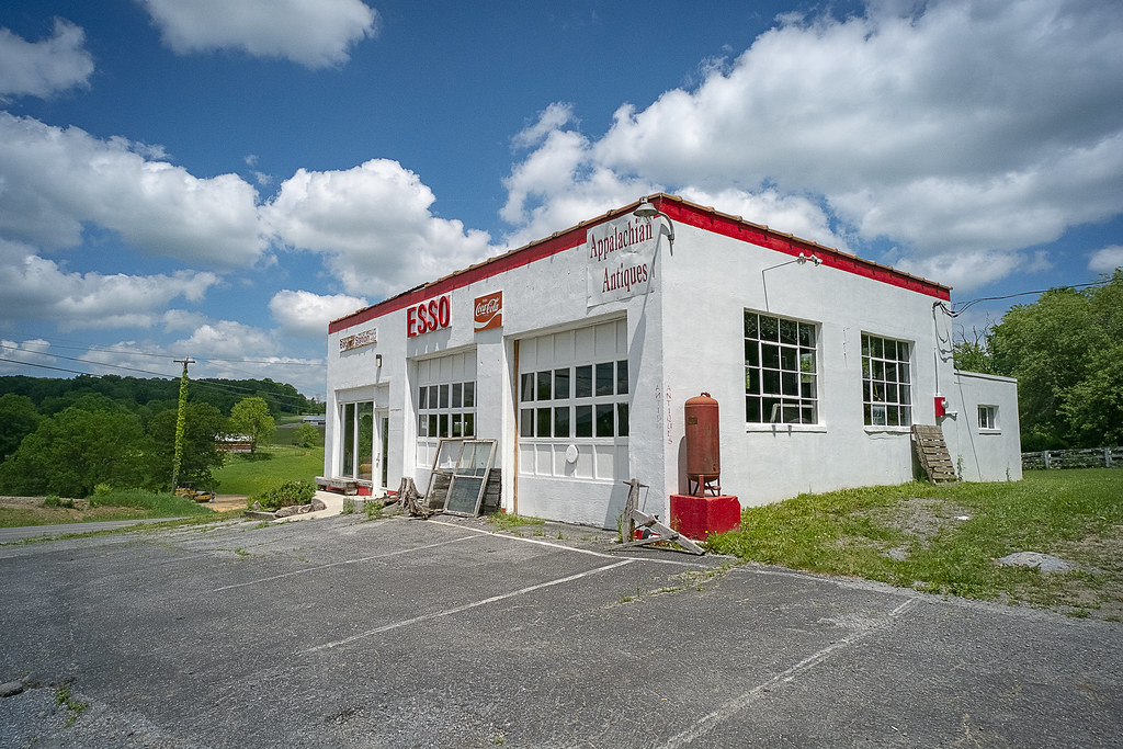
Esso Station

Past the point of no return

Alderson station

Snowflake WV: West Virginia: Snowflake Quarry

Pence Springs

The Grounds

Ronceverte, West Virginia train station & tracks

Fort Spring WV: One of Two Tunnels

View from Alderson Cemetery (WV)

1952 Chevy in Union

Wolf Creek Church
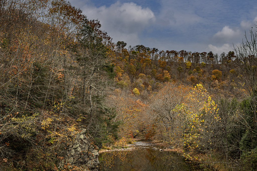
Fall Colors on Second Creek

Mt. Vernon Church and Cemetery

Farmhouse on Flat Mountain (1 of 2)

The Greenbrier River in Alderson, WV

West Virginia: Crossing the Greenbrier River at Caldwell

View from Confederate Monument, Monroe County, WV

Wolf Creek Church_BW

Farmhouse on Flat Mountain (2 of 2)

Old Mansion in Union, WV
Organ Cave

Swings on the Tree

Rehoboth Church Cemetery

Sylvan Art

Upper Hillsdale Limestone

THE GREAT GREENBRIER RIVER WITH A YOUNG LADY FISHING THE RIFFLES BELOW THE WHITCOMB RAILROAD BRIDGE NEAR RONCEVERTE, WEST VIRGINIA, USA

Rehoboth Cemetery
Topographic Map of Fort Springs Road, Fort Springs Rd, Eastern, WV, USA
Find elevation by address:

Places near Fort Springs Road, Fort Springs Rd, Eastern, WV, USA:
Sinks Grove
Wolf Creek Rd, Sinks Grove, WV, USA
Sinks Grove, WV, USA
599 Woodbrier Estates Rd
429 Woodbrier Estates Rd
Muddy Creek Mountain Road
Alderson
Alderson Station
West Maple Avenue
Riverside Rest Rd, Alderson, WV, USA
495 Big Branch Rd
Pence Springs
Lowell Rd, Pence Springs, WV, USA
West Virginia 12
Red Sulphur Turnpike
Hungards Creek Road
Talcott
4443 Judson Rd
Sr 3 And 12, Hinton, WV, USA
Powley Creek Road
Recent Searches:
- Elevation of Corso Fratelli Cairoli, 35, Macerata MC, Italy
- Elevation of Tallevast Rd, Sarasota, FL, USA
- Elevation of 4th St E, Sonoma, CA, USA
- Elevation of Black Hollow Rd, Pennsdale, PA, USA
- Elevation of Oakland Ave, Williamsport, PA, USA
- Elevation of Pedrógão Grande, Portugal
- Elevation of Klee Dr, Martinsburg, WV, USA
- Elevation of Via Roma, Pieranica CR, Italy
- Elevation of Tavkvetili Mountain, Georgia
- Elevation of Hartfords Bluff Cir, Mt Pleasant, SC, USA