Elevation of Wood Township, IN, USA
Location: United States > Indiana > Clark County >
Longitude: -85.950892
Latitude: 38.4362685
Elevation: 263m / 863feet
Barometric Pressure: 98KPa
Elevation Map:
Satellite Map:
Related Photos:

DSC-HX1 Panorama
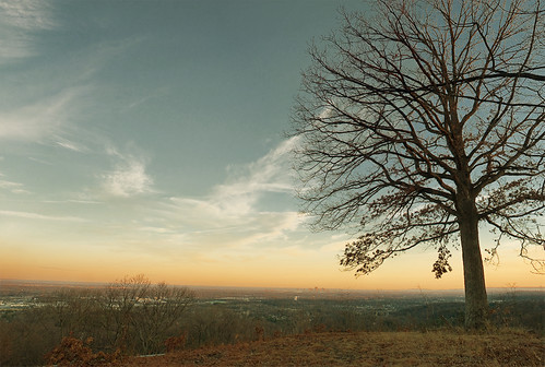
Floyd Knobs, Indiana
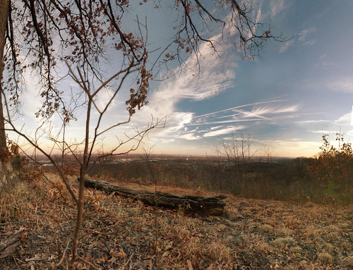
Floyd Knobs, Indiana
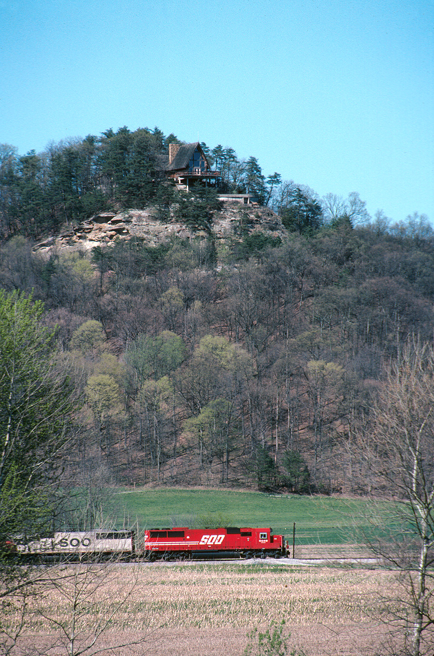
Southbound 240 south of Borden

Overhead view of Salem, Indiana, with Indiana State Road 135 (center, bottom to top) and State Road 60 (middle left to bottom right) as well as Salem Municipal Airport and Salem Speedway (near left middle)
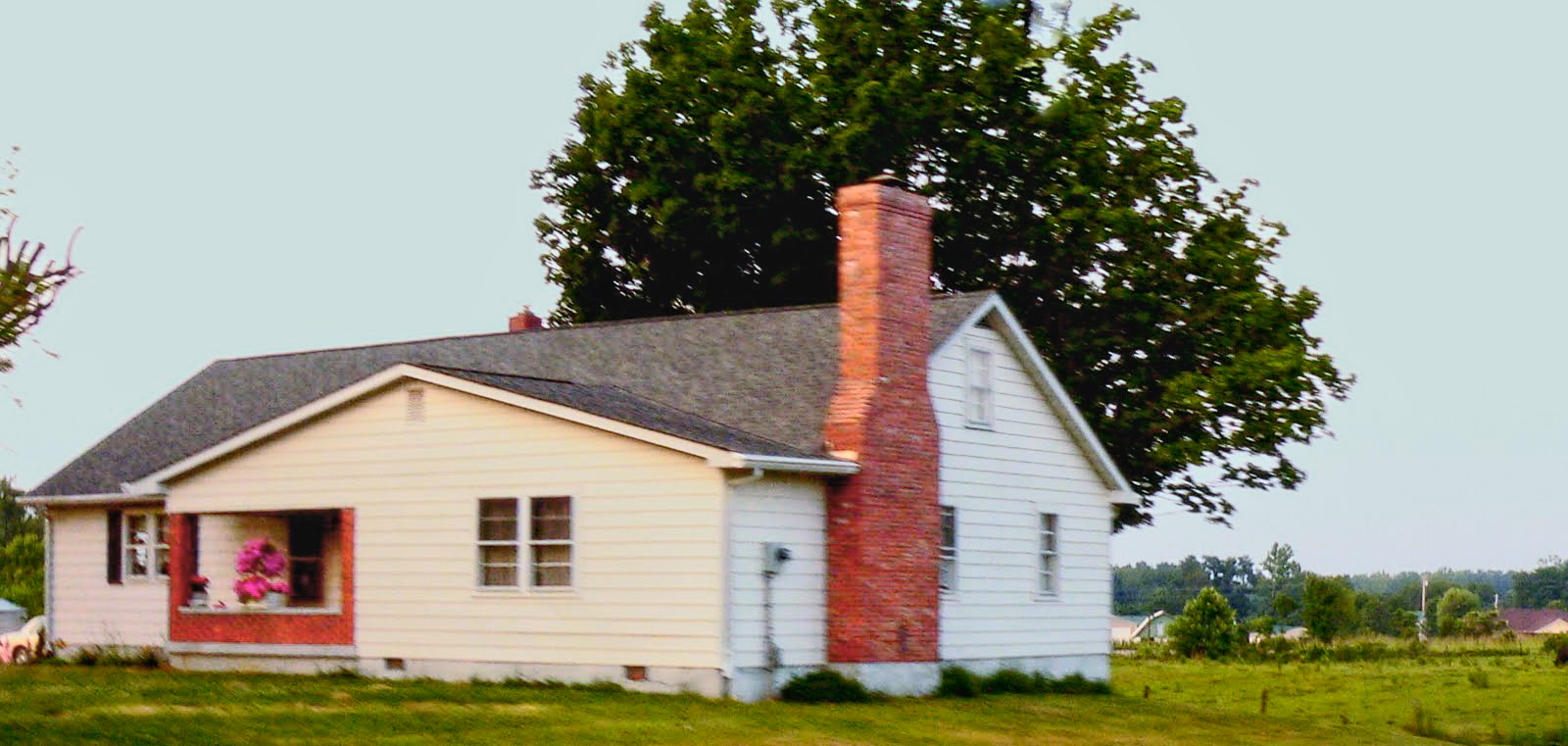
wood township gable front and wing house
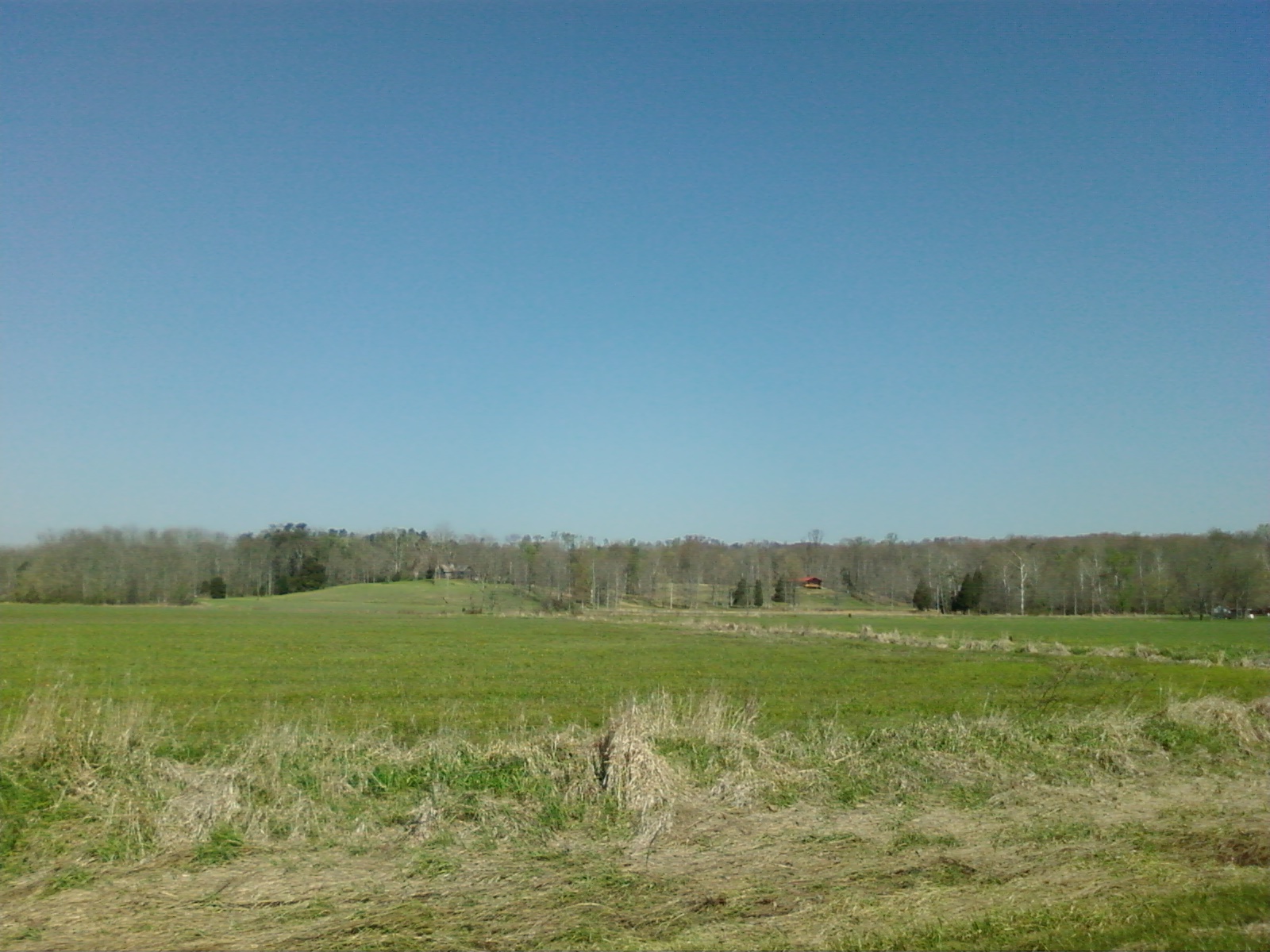
What a View
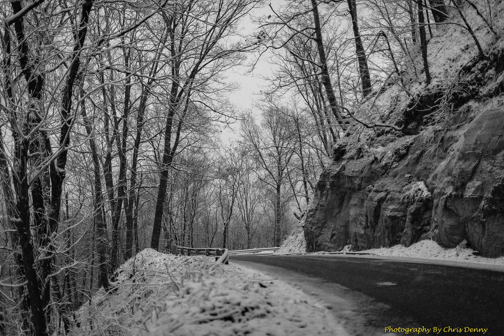
Monochrome Snow
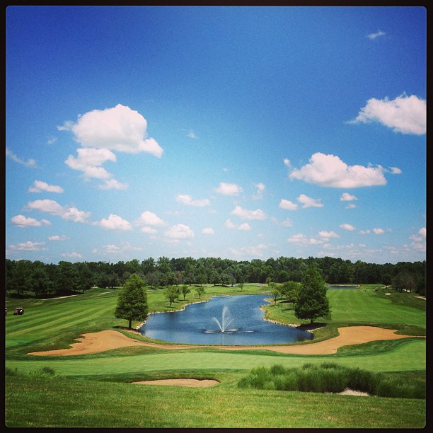
Great day for golf! #latergram @CoveredBridgeGC

The quiet

20160704 165347 1SL6
20160704 154925 1SL6
20160704 154858 1SL6
20160704 154405 1SL6

20160704 214207 1SL6

Morning fog
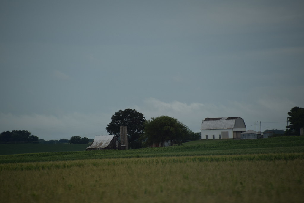
golden barn
Undisturbed.
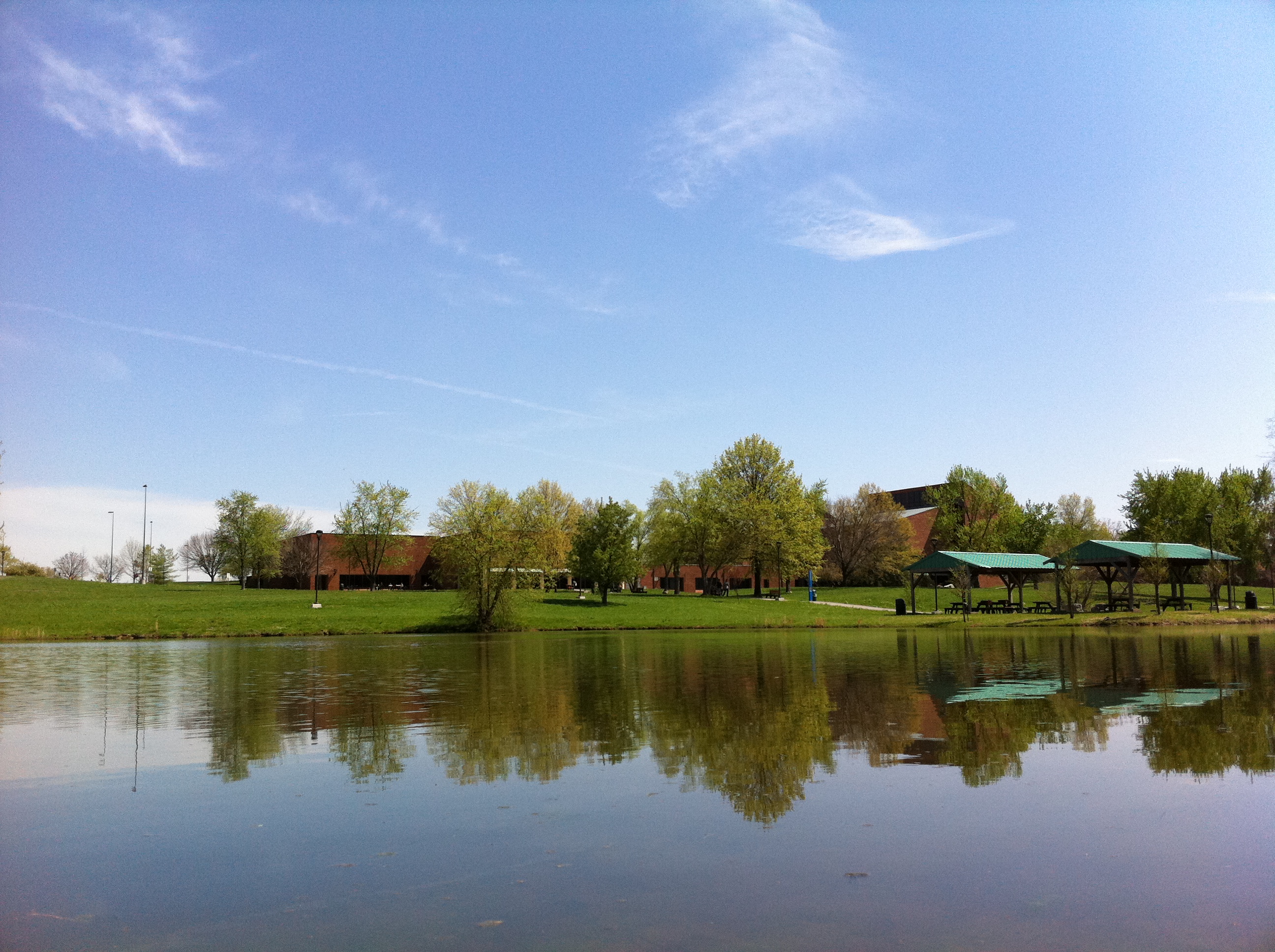
Campus Buildings in Spring

Photographers-in-Louisville-ky-138

Spider Web
Beautiful clouds coming in over the farm

Joe Hurber Corn Field

Deam Lake State Recreation Area, IN

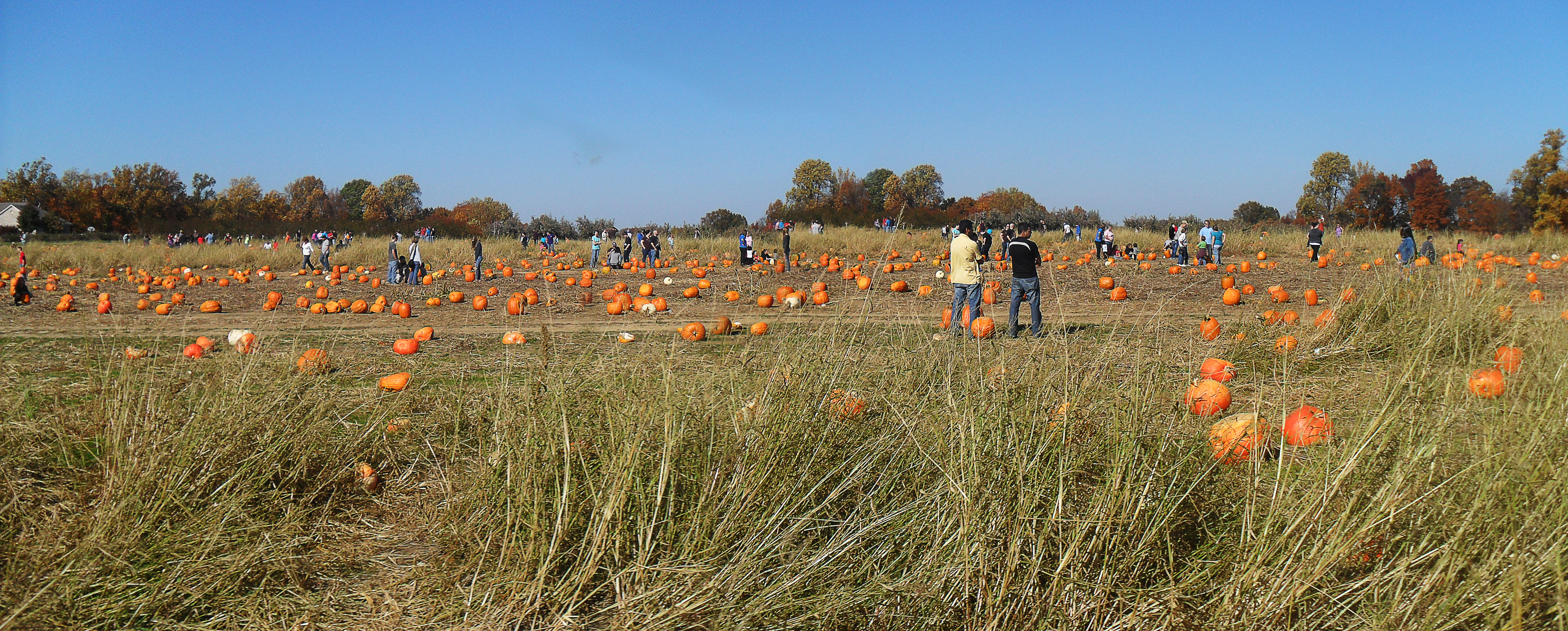
Pumpkin Patch at Joe Hurber Farms
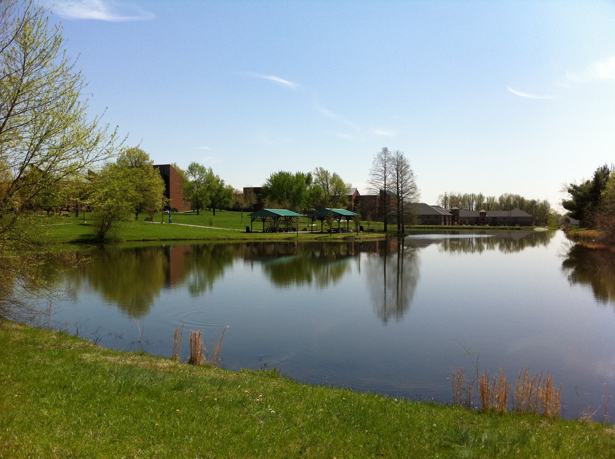
Campus Buildings in Spring
Joe Huber Farm Panorama
Topographic Map of Wood Township, IN, USA
Find elevation by address:

Places in Wood Township, IN, USA:
Places near Wood Township, IN, USA:
Borden
Market St, Borden, IN, USA
1233 E Water St
104 Brewer Dr
18021 In-60
Jackson Rd, Borden, IN, USA
Scottsville Rd, Borden, IN, USA
Navilleton Rd, Floyds Knobs, IN, USA
Starlight
Greenville
Broom Hill Rd, Borden, IN, USA
IN-, New Pekin, IN, USA
25312 Daisy Hill Rd
Indiana's Historic Pathways - South Spur, Greenville, IN, USA
Galena
Carrwood Rd, Borden, IN, USA
Greenville Township
Deam Lake State Recreation Area
Floyds Knobs, IN, USA
5150 Buck Creek Rd
Recent Searches:
- Elevation of Corso Fratelli Cairoli, 35, Macerata MC, Italy
- Elevation of Tallevast Rd, Sarasota, FL, USA
- Elevation of 4th St E, Sonoma, CA, USA
- Elevation of Black Hollow Rd, Pennsdale, PA, USA
- Elevation of Oakland Ave, Williamsport, PA, USA
- Elevation of Pedrógão Grande, Portugal
- Elevation of Klee Dr, Martinsburg, WV, USA
- Elevation of Via Roma, Pieranica CR, Italy
- Elevation of Tavkvetili Mountain, Georgia
- Elevation of Hartfords Bluff Cir, Mt Pleasant, SC, USA