Elevation of Market St, Borden, IN, USA

Location: United States > Indiana > Clark County > Wood Township > Borden >

Longitude: -85.945775

Latitude: 38.466793

Elevation: 171m / 561feet

Barometric Pressure: 99KPa

Elevation Map:

elevation map of Market St, Borden, IN, USA

Satellite Map:

Satellite map of Market St, Borden, IN, USA

Related Photos:

summer panorama color building america frozen midwest sunday indiana stitched stitchedpanorama anawesomeshot dschx1
DSC-HX1 Panorama
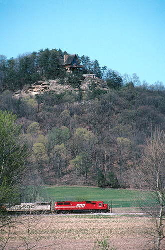
canon indiana f1 line kodachrome sooline soo coolscan pkr latta monon vuescan lattasubdivision
Southbound 240 south of Borden
View from the Fire Tower
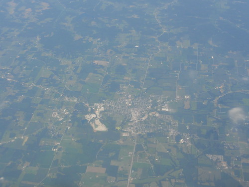
Overhead view of Salem, Indiana, with Indiana State Road 135 (center, bottom to top) and State Road 60 (middle left to bottom right) as well as Salem Municipal Airport and Salem Speedway (near left middle)
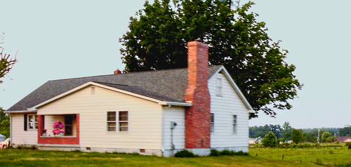
architecture clarkcountyindiana woodtownship gablefrontandwinghouse
wood township gable front and wing house
What a View
sunset sky tower random publicasof11232013 posted2008 madeff03262015
tower to tower
Joe Huber Farm Panorama
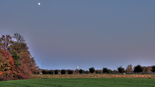
moon fall indiana pumpkinpatch nhm pumpkinfarm ngm npgm joehuberfarmes
Late Afternoon at Joe Hurber Farmes
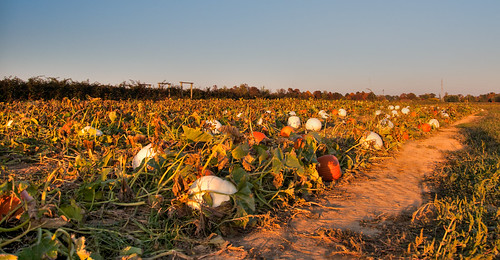
pumpkins indiana pumpkinpatch nhm pumpkinfarm ngm npgm joehuberfarmes
Pumpkin Patch at Joe Hurber Farms
square squareformat mayfair iphoneography instagramapp uploaded:by=instagram foursquare:venue=4b3b80c9f964a520be7425e3
Great day for golf! #latergram @CoveredBridgeGC
square lofi squareformat iphoneography instagramapp uploaded:by=instagram foursquare:venue=4bef0405ea570f47e3c78ed2
Morning fog
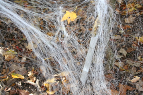
autumn fall halloween 2009 hauntedtrail buffalotracepark
Spider Web
square squareformat hefe iphoneography instagramapp uploaded:by=instagram foursquare:venue=4d84bf8299b78cfab717be1f
Undisturbed.
day pwpartlycloudy
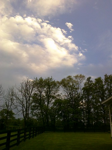
Beautiful clouds coming in over the farm
texture cornfield nhm ngm florabellatextures npgm indianajoehuberfarmes florabellatexturebrushedsky
Joe Hurber Corn Field
night landscape woods publicasof11232013 posted2008 madeff03262015
Night comes to the piney woods
sunset rain 50mm golden pond thunderstorm floydsknobbs
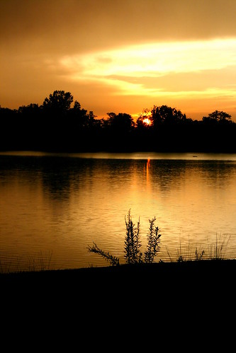
Thunderstorm Sunset
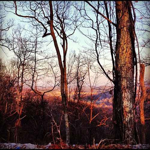
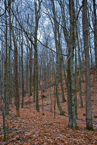
festival maple indiana syrup salem 2009 sugarbush
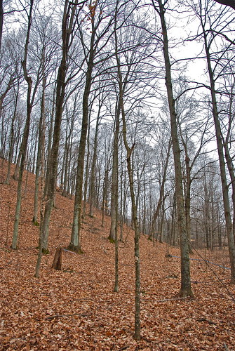
late winter maple forest
usa field rural farm country indiana farmland northamerica agriculture starlight
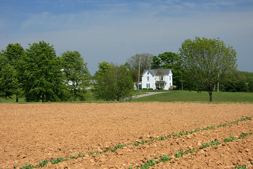
Rural America
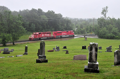
railroad train indiana rail transportation hoosier
Bring Out Your Dead
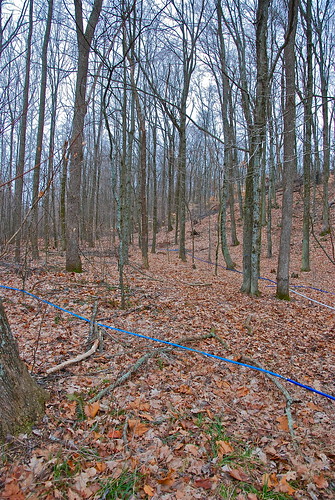
festival maple indiana syrup salem 2009 sugarbush
sap lines and maple trees
festival maple indiana syrup salem 2009 sugarbush
bringing sap from the trees
18270mmf3563 1s 4496x3000x24b all allsyncacdsee crestwooddrive floydsknobs iso400 indiana jpeg landscape nikoncorporationnikond5300 northlatitude sealevel us usa westlongitude f8 allsyncacdseepro10 flashoff didnotfire focallength38mm 1250s gpsspeed orientationupperleft softwarever100 exifversion23 allsyncflickr unitedstates
20160704 165347 1SL6
18270mmf3563 1s 4496x3000x24b all allsyncacdsee crestwooddrive floydsknobs iso200 indiana jpeg landscape nikoncorporationnikond5300 northlatitude sealevel us usa westlongitude f63 allsyncacdseepro10 flashoff didnotfire focallength270mm 1500s gpsspeed orientationupperleft softwarever100 exifversion23 allsyncflickr unitedstates
20160704 154925 1SL6
18270mmf3563 1s 4496x3000x24b all allsyncacdsee crestwooddrive floydsknobs iso200 indiana jpeg landscape nikoncorporationnikond5300 northlatitude sealevel us usa westlongitude f6 allsyncacdseepro10 flashoff didnotfire focallength155mm 1640s gpsspeed orientationupperleft softwarever100 exifversion23 allsyncflickr unitedstates
20160704 154858 1SL6
18270mmf3563 1s 4496x3000x24b all allsyncacdsee crestwooddrive floydsknobs iso220 indiana jpeg landscape nikoncorporationnikond5300 northlatitude sealevel us usa westlongitude f8 allsyncacdseepro10 flashoff didnotfire focallength92mm 1250s gpsspeed orientationupperleft softwarever100 exifversion23 allsyncflickr unitedstates
20160704 154405 1SL6
1s 2576x1932x24b all allsyncacdsee appleiphone6splus appleiphone6splusfrontcamera265mmf22 crestwooddrive floydsknobs iso500 indiana jpeg landscape northlatitude sealevel254761m us usa westlongitude f22 allsyncacdseepro10 flashoff didnotfire focallength265mm 115s gpsspeed0kilometersperhour orientationlowerright software932 exifversion221 allsyncflickr unitedstates
20160704 214207 1SL6