Elevation of Greenville Township, IN, USA

Location: United States > Indiana > Floyd County >

Longitude: -85.991743

Latitude: 38.3535865

Elevation: 243m / 797feet

Barometric Pressure: 98KPa

Elevation Map:

elevation map of Greenville Township, IN, USA

Satellite Map:

Satellite map of Greenville Township, IN, USA

Related Photos:

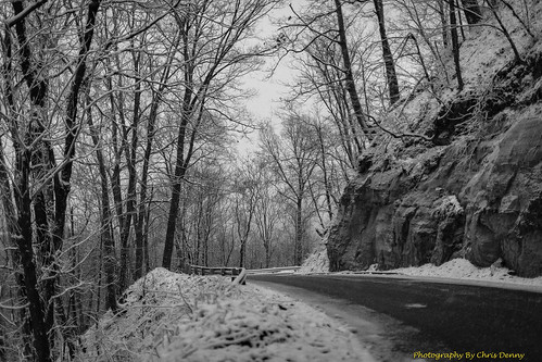
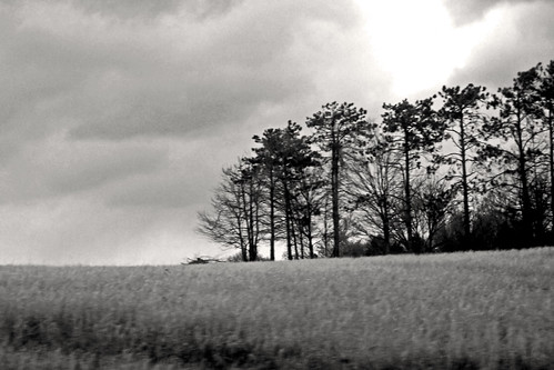
winter blackandwhite snow monochrome seasons
Monochrome Snow
dice whatsinyourbag whatsinmybag fieldnotes ipad macbook
What's in my Bag 2013
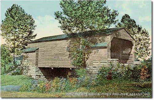
usa color history bridges indiana transportation streams roads newalbany floydcounty hoosierrecollections
Paoli Pike Mooresville Covered Bridge, New Albany, Indiana
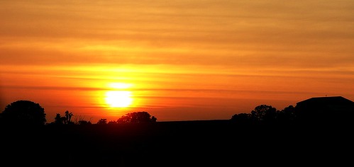
sunset red summer sky orange black yellow clouds geotagged sundown indiana cloudysky lateafternoon earlyevening summersunset thesettingsun corydonindiana southcenralindiana geo:lat=38252673 geo:lon=86058183
summer sunset
trees sunset red orange sun yellow clouds barn geotagged sundown indiana setting silouhette lateafternoon earlyevening summersunset thesettingsun edgeoftown southcentralindiana corydonindiana geo:lat=38254392 geo:lon=86047325
Sunset Outside Corydon
trees sunset red orange sun black yellow geotagged sundown indiana settingsun edgeoftown southcentralindiana corydonindiana geo:lat=38250246 geo:lon=86069555
sun down
summer panorama color building america frozen midwest sunday indiana stitched stitchedpanorama anawesomeshot dschx1
DSC-HX1 Panorama
summer david nikki indiana grandchildren granddaughter grandson grandkids lugo newalbany newalbanyin davidlugo nikkilugo
Our Grandchildren David and Nikki - circa 1981 - Over 500 Views
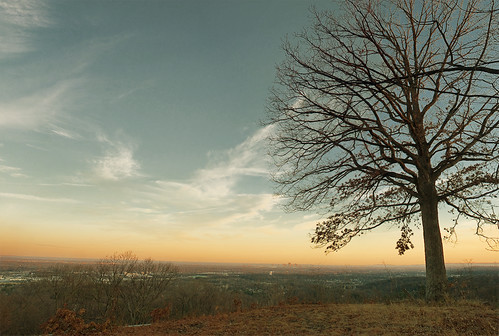
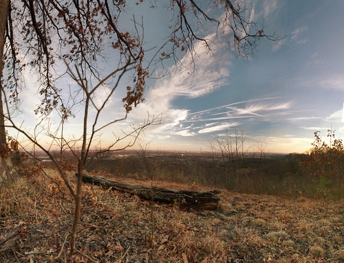
skyline landscape indiana louisville knobs skylinedrive floydknobs
Floyd Knobs, Indiana
skyline landscape louisville floyd knobs skylinedrive
Floyd Knobs, Indiana
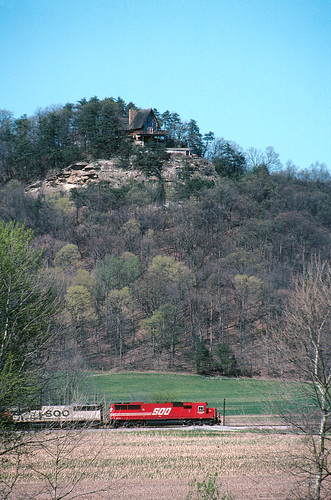
canon indiana f1 line kodachrome sooline soo coolscan pkr latta monon vuescan lattasubdivision
Southbound 240 south of Borden
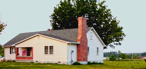
architecture clarkcountyindiana woodtownship gablefrontandwinghouse
wood township gable front and wing house
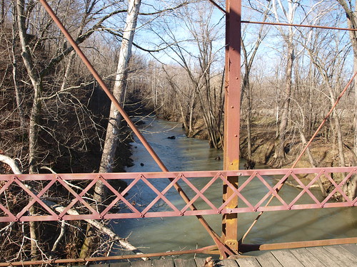
indiana southern indianabridgeandbarnrun
Circle Road Bridge rail and creek view, Harrison County, IN
What a View
View from the Car
View from Tunnel Vision Cache
The quiet
hwy111 hwy60 bordenindianawoodtownshipclarkcounty
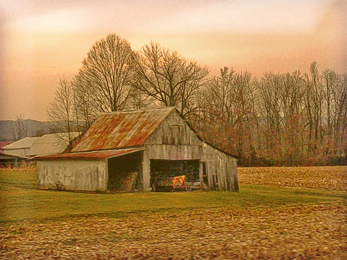
golden barn
27 inch shagbark hickory facing east north east
26 inch Q Red oak Facing WNW through 39 Inch White oak atop hill
square squareformat hefe iphoneography instagramapp uploaded:by=instagram foursquare:venue=4d84bf8299b78cfab717be1f
Undisturbed.
indiana ohioriver riverroad hwy111 floydcounty
the ohio through the trees
trains5132014
NS 975, Crandall,IN 5/13/2014
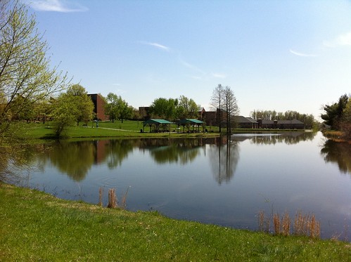
Campus Buildings in Spring
wedding photographer louisville louisvilleweddingphotographer
Photographers-in-Louisville-ky-138
autumn fall halloween 2009 hauntedtrail buffalotracepark
Spider Web
day pwpartlycloudy
Beautiful clouds coming in over the farm
texture cornfield nhm ngm florabellatextures npgm indianajoehuberfarmes florabellatexturebrushedsky
Joe Hurber Corn Field
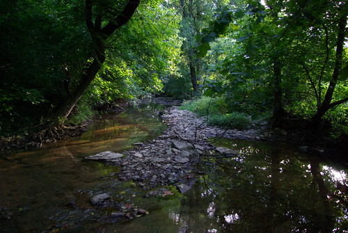
Crandall creek
Scarlet oak facing south
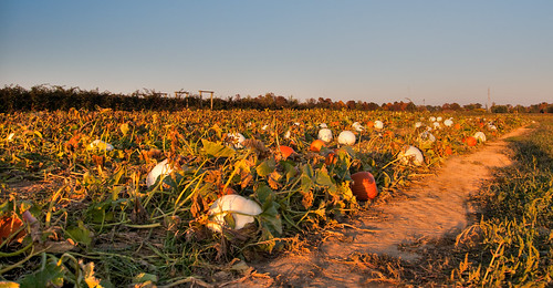
pumpkins indiana pumpkinpatch nhm pumpkinfarm ngm npgm joehuberfarmes
Pumpkin Patch at Joe Hurber Farms
Campus Buildings in Spring
Chuck.Heeke09.04.21
Joe Huber Farm Panorama