Elevation of Wood Dr, Magalia, CA, USA
Location: United States > California > Butte County > Magalia >
Longitude: -121.59262
Latitude: 39.8485924
Elevation: 796m / 2612feet
Barometric Pressure: 92KPa
Elevation Map:
Satellite Map:
Related Photos:

diet coke and mentos

Changed View

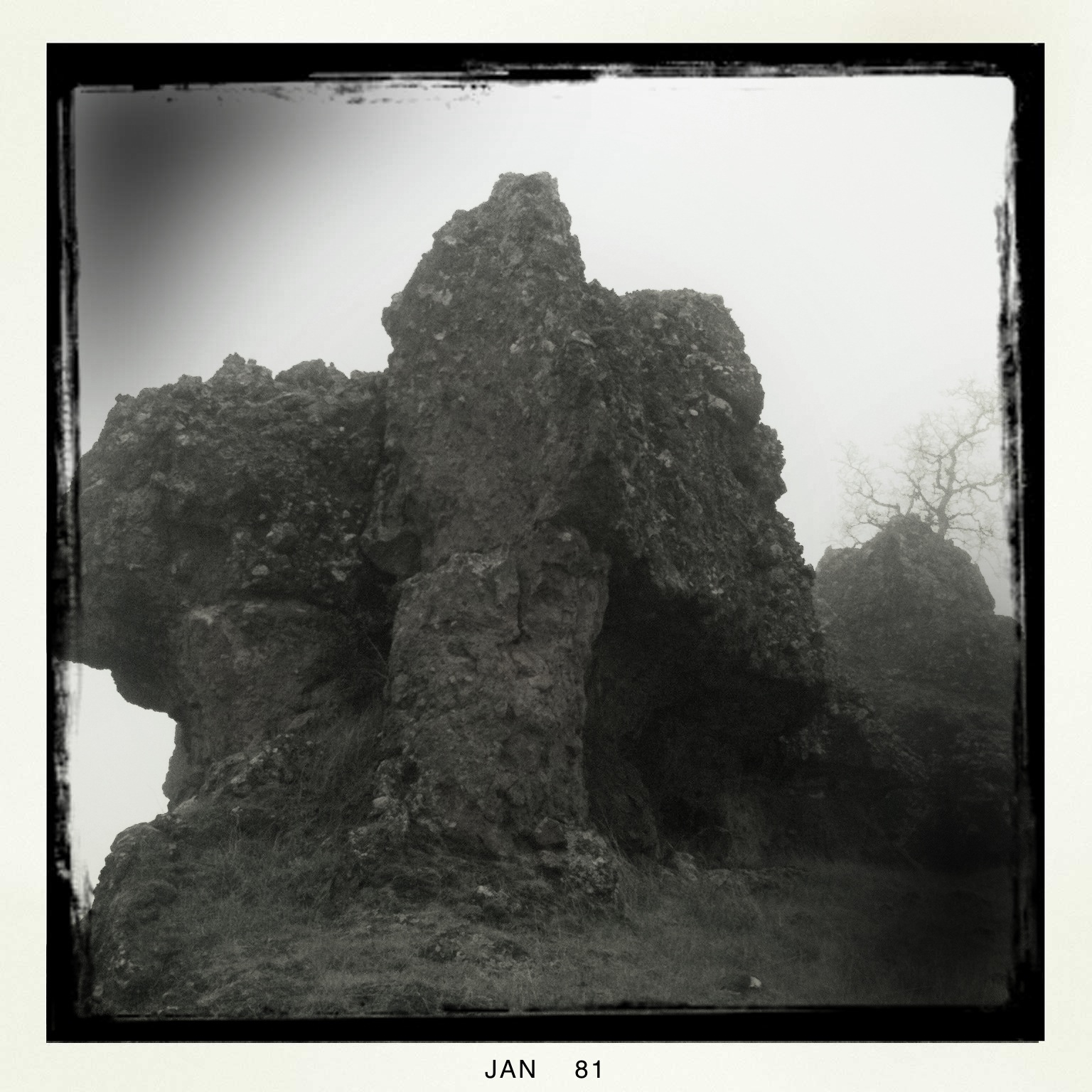
obey the earth

02•52 • dog nose

Christmas Nova Explosion in D Major
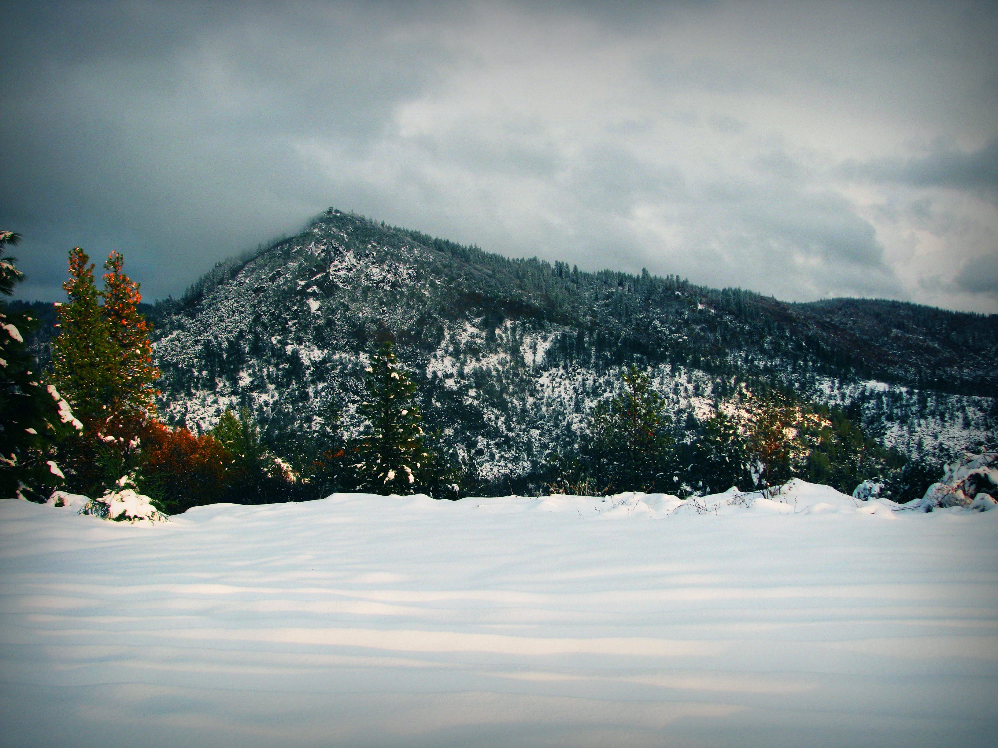
View from Old Magalia
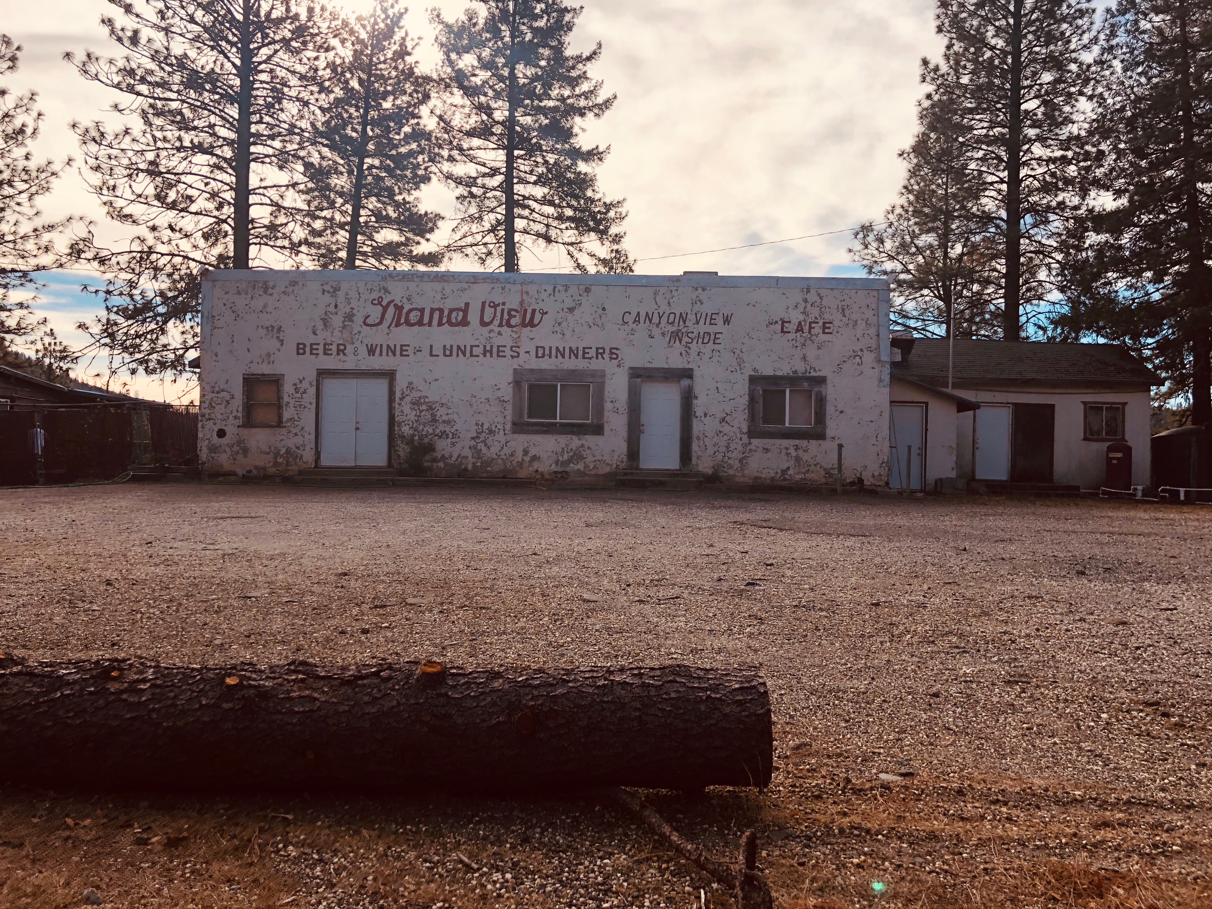
Grand view inside cafe

fungus among us... {Explore #62}

O'B (6)
Feather River

Her Spirit
June 12, 2008

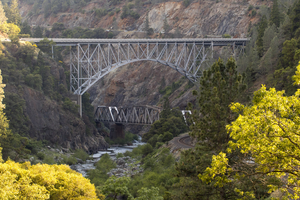
Bridge Over the Feather River
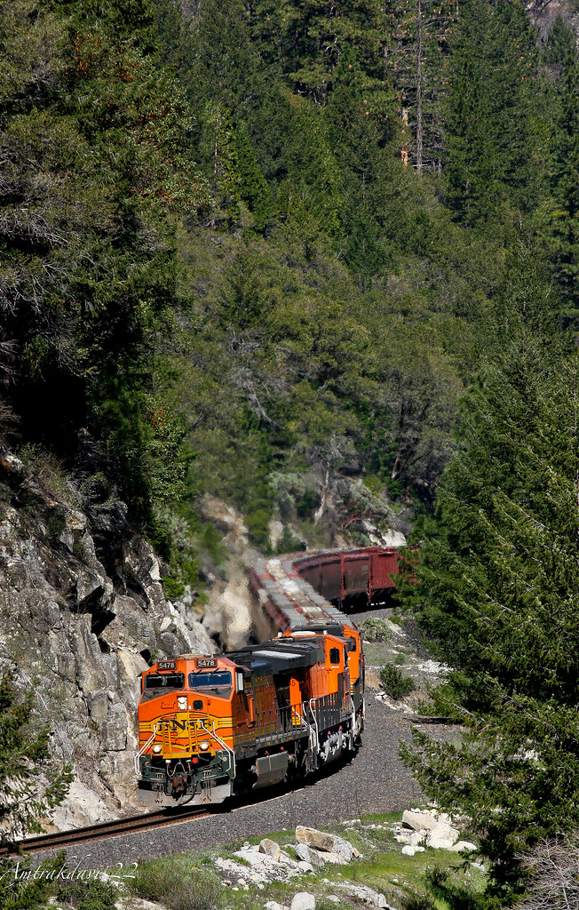
BNSF Grain Train at Cresta S-Curve

No Man Will Ever Be Fool Enough
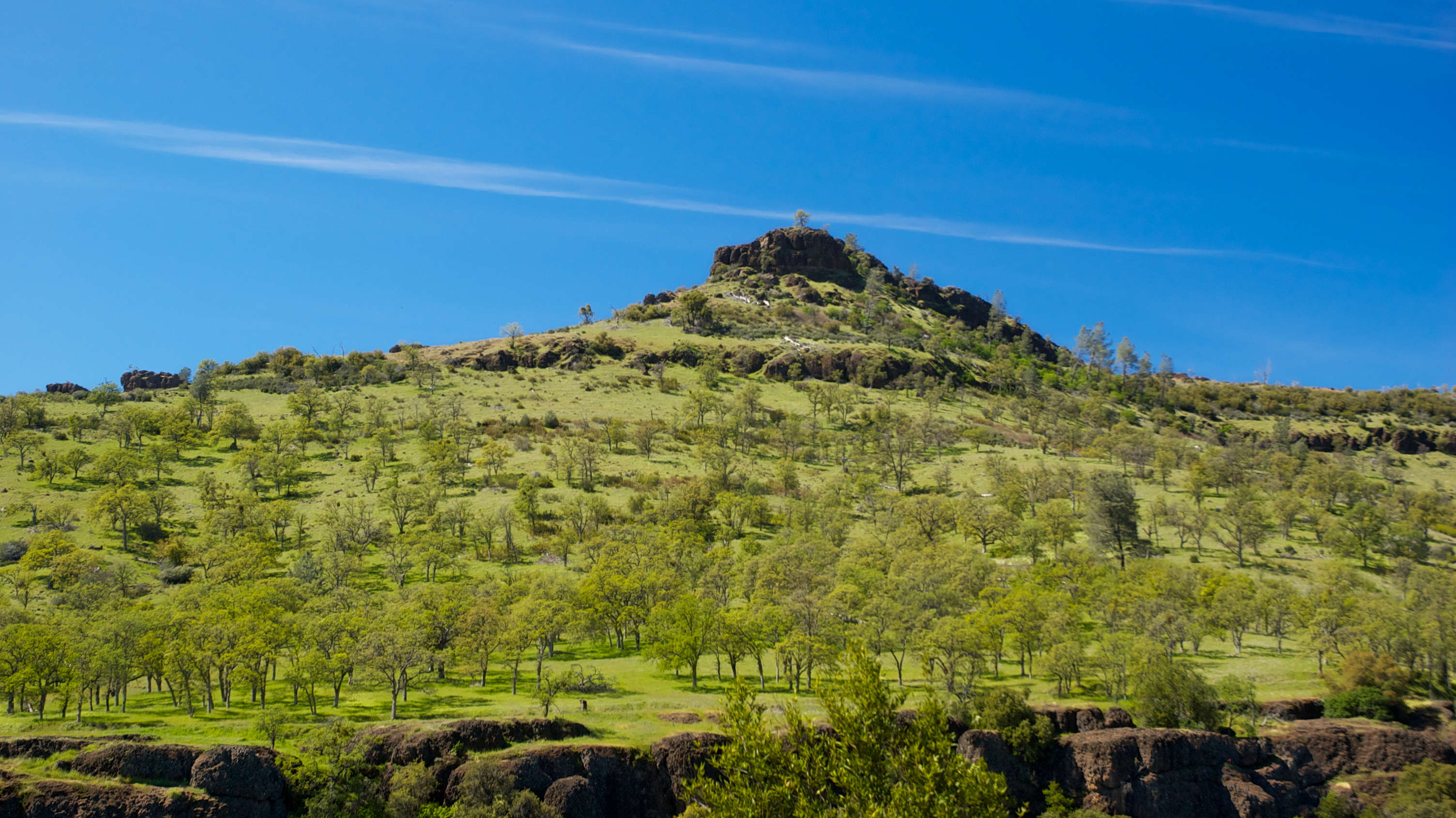
Peregrine Point
Living on the edge
Hwy 70 North Fork Feather River Bridge (Built 1932), Pulga, CA
Bidwell Park
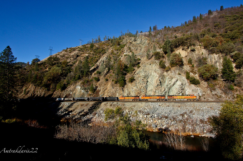
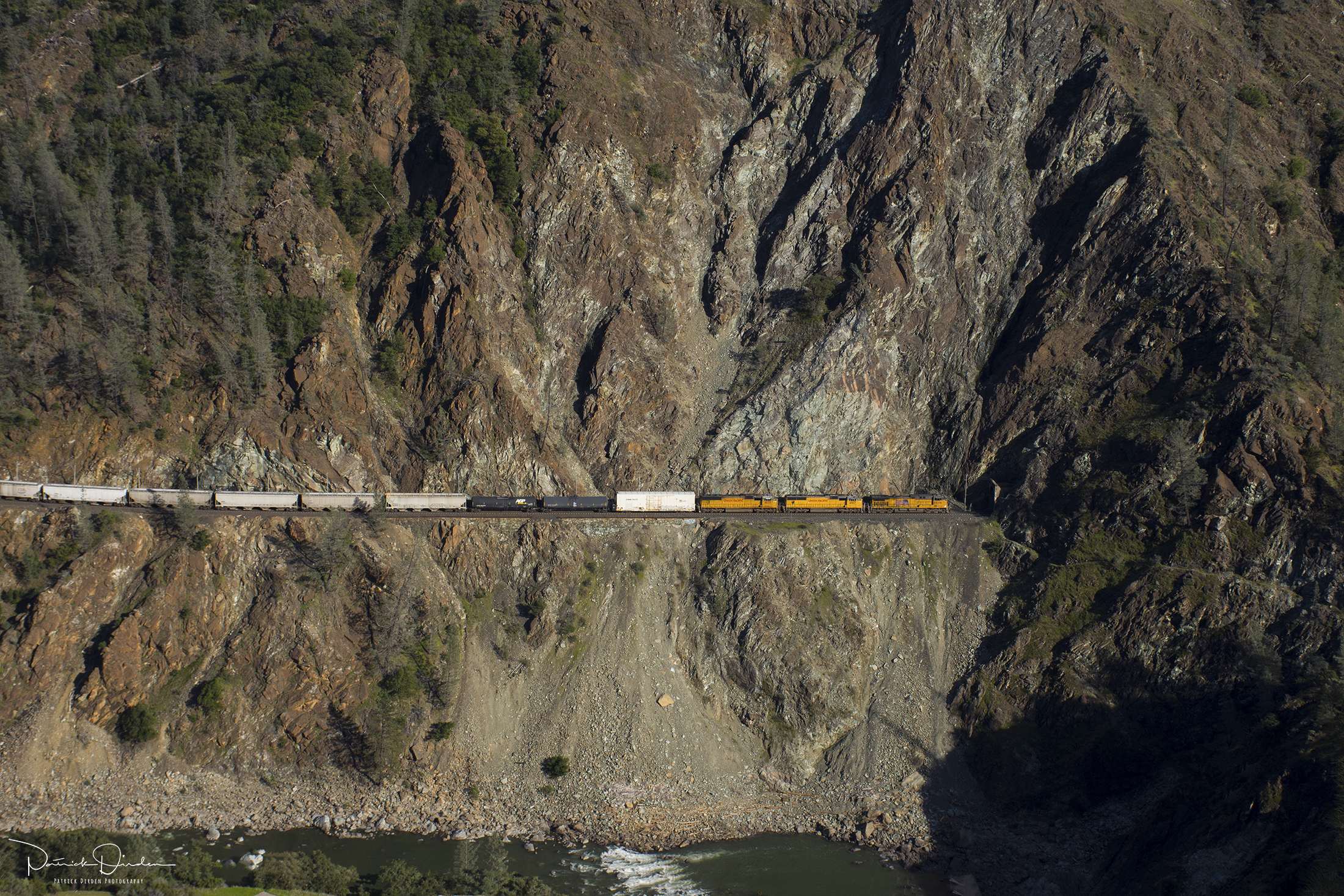
BNSF Railway Tackles the Feather River Canyon
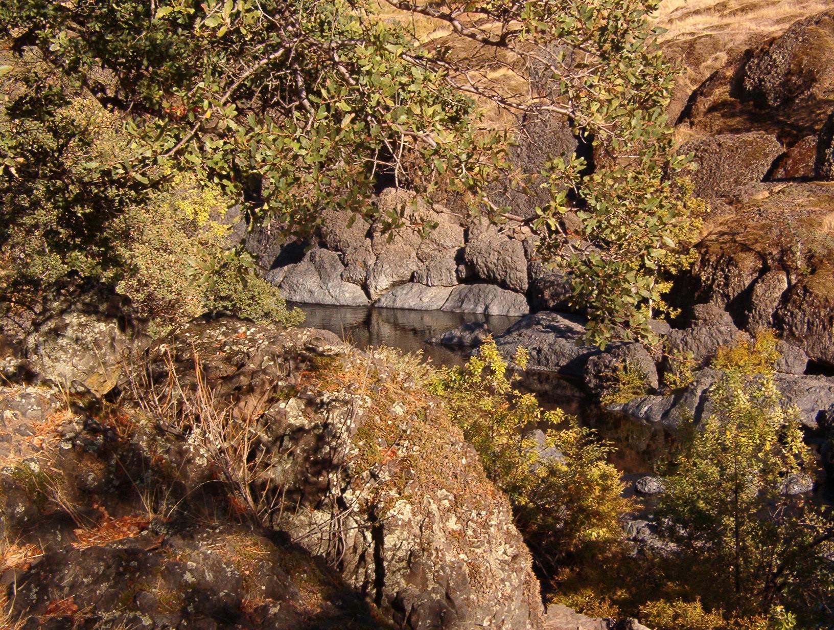
Swimming Hole
Sooo blue
Death Points the Way

_8010160.NEF
Clear Skies

Fire Material

Morning Clouds

Sky ablaze
At Diversion Dam, Bidwell Park
photographers shadow 2fer
Bidwell Park - Bear Hole
Near Honey Run Bridge
Bear Hole

Emerald Waters
Topographic Map of Wood Dr, Magalia, CA, USA
Find elevation by address:

Places near Wood Dr, Magalia, CA, USA:
14863 Upland Rd
14769 Glenwood Dr
14813 Wildlife Dr
14712 Glenwood Dr
14706 Wood Dr
Rosewood Drive
6392 Imperial Way
6475 Grandview Ave
14741 Bridger Ct
6697 Echo Glen Ln
15057 Torey Pine Rd
14787 Masterson Way
Colter Way & Skyway Road
14545 Holmwood Dr
14905 Skyway
6270 Columbine Rd
Torey Pine Road
Jack Pine Way
14823 Klamath Ct
6235 Kilgord Ct
Recent Searches:
- Elevation of Corso Fratelli Cairoli, 35, Macerata MC, Italy
- Elevation of Tallevast Rd, Sarasota, FL, USA
- Elevation of 4th St E, Sonoma, CA, USA
- Elevation of Black Hollow Rd, Pennsdale, PA, USA
- Elevation of Oakland Ave, Williamsport, PA, USA
- Elevation of Pedrógão Grande, Portugal
- Elevation of Klee Dr, Martinsburg, WV, USA
- Elevation of Via Roma, Pieranica CR, Italy
- Elevation of Tavkvetili Mountain, Georgia
- Elevation of Hartfords Bluff Cir, Mt Pleasant, SC, USA