Elevation of Imperial Way, Magalia, CA, USA
Location: United States > California > Butte County > Magalia >
Longitude: -121.59822
Latitude: 39.85029
Elevation: 790m / 2592feet
Barometric Pressure: 92KPa
Elevation Map:
Satellite Map:
Related Photos:

fungus among us... {Explore #62}

diet coke and mentos

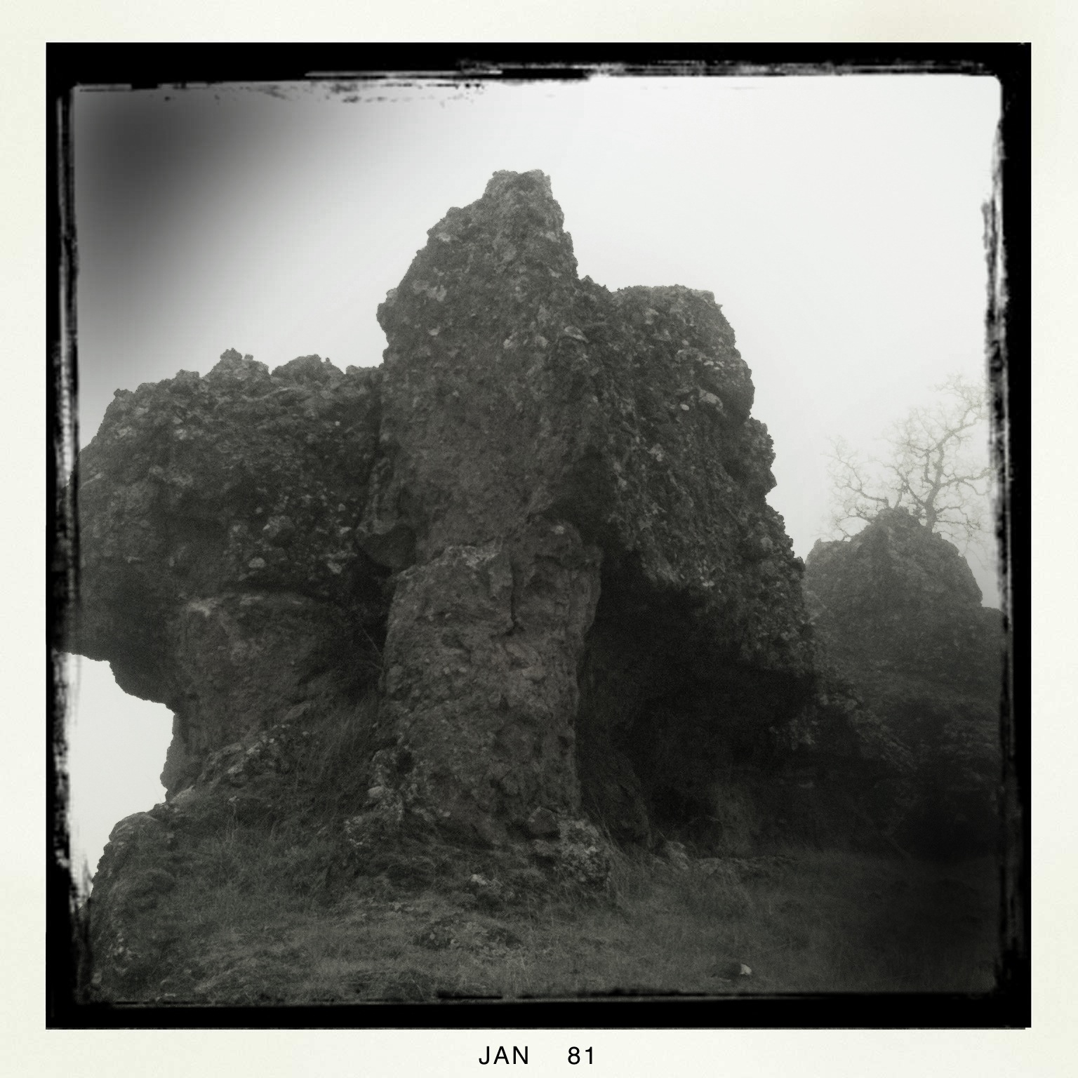
obey the earth
Gold and green

02•52 • dog nose

Christmas Nova Explosion in D Major
Feather River

spider webs of squirrels
June 12, 2008

Her Spirit

Christmas Nova Explosion in D Minor
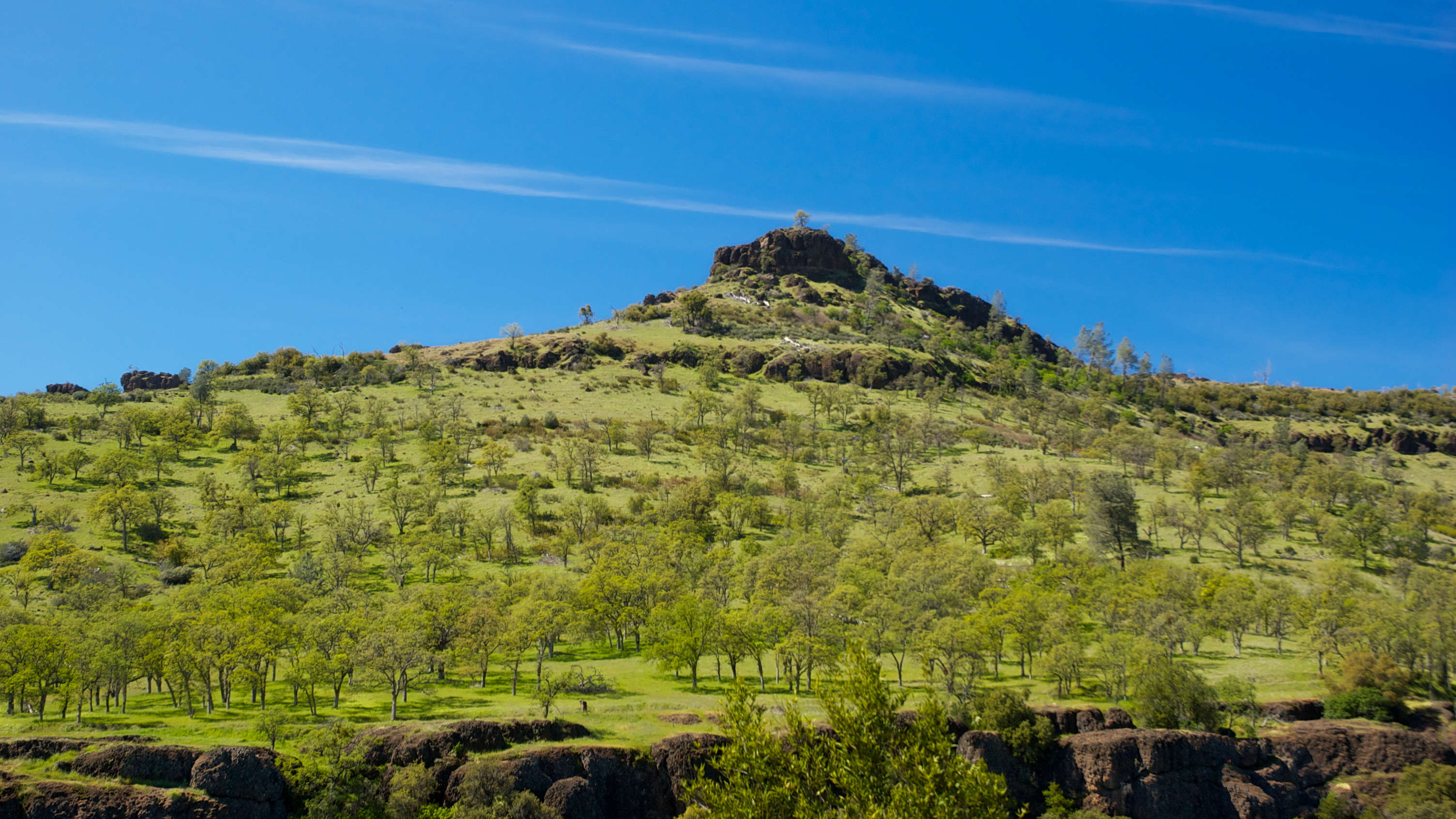
View from Old Magalia

Bridge Over the Feather River

O'B (6)

Not so bad.
Bidwell Park

Fire Material
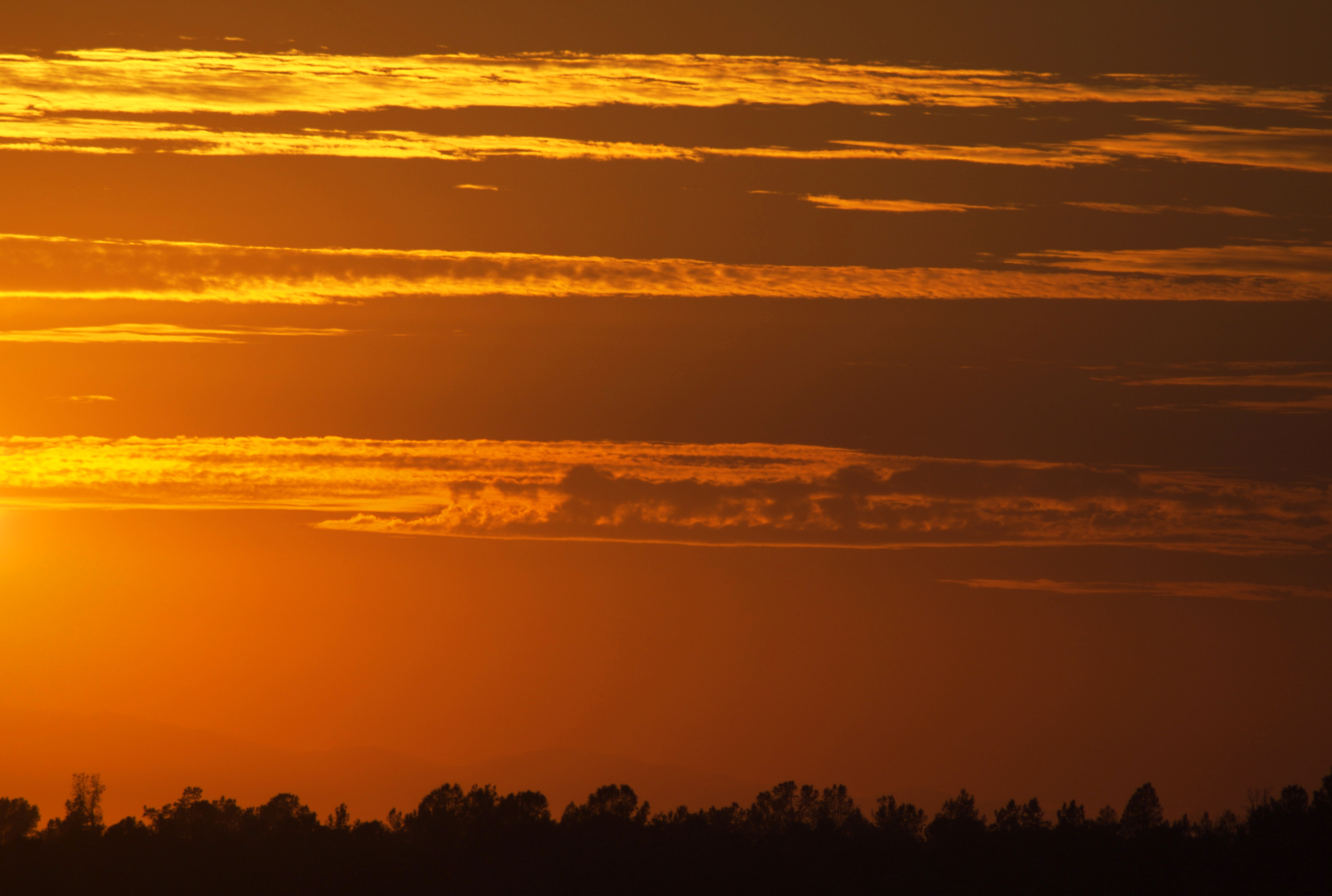
Sky ablaze
Sooo blue
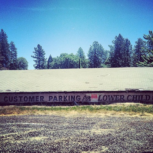
lower child?
Clear Skies
Slow Sunrise
destination: swimmin' hole.
photographers shadow 2fer
Chico Tree
Bidwell Park - Bear Hole
Near Honey Run Bridge
At Diversion Dam, Bidwell Park
Bear Hole Panoramic

Kimshew Falls
Swimming Hole
BNSF Grain Train at Cresta S-Curve
BNSF Manifest Passing Poe Power Dam

Death Points the Way
Union Pacific Manifest Along the Rocks at Pulga
Topographic Map of Imperial Way, Magalia, CA, USA
Find elevation by address:

Places near Imperial Way, Magalia, CA, USA:
15057 Torey Pine Rd
Colter Way & Skyway Road
14741 Bridger Ct
14905 Skyway
6270 Columbine Rd
14787 Masterson Way
Jack Pine Way
14823 Klamath Ct
14798 Chipwood Ct
14894 Nimshew Rd
6235 Kilgord Ct
Dalton Way
14722 Bridgeport Cir
6070 Partridge Way
14536 Asheville Dr
14816 Nimshew Rd
6092 Dana Cir
14424 Wycliff Way
6127 Dana Cir
6106 Guilford Cir
Recent Searches:
- Elevation of Corso Fratelli Cairoli, 35, Macerata MC, Italy
- Elevation of Tallevast Rd, Sarasota, FL, USA
- Elevation of 4th St E, Sonoma, CA, USA
- Elevation of Black Hollow Rd, Pennsdale, PA, USA
- Elevation of Oakland Ave, Williamsport, PA, USA
- Elevation of Pedrógão Grande, Portugal
- Elevation of Klee Dr, Martinsburg, WV, USA
- Elevation of Via Roma, Pieranica CR, Italy
- Elevation of Tavkvetili Mountain, Georgia
- Elevation of Hartfords Bluff Cir, Mt Pleasant, SC, USA