Elevation of Dalton Way, Magalia, CA, USA

Location: United States > California > Butte County > Magalia >

Longitude: -121.60901

Latitude: 39.8445019

Elevation: 791m / 2595feet

Barometric Pressure: 92KPa

Elevation Map:

elevation map of Dalton Way, Magalia, CA, USA

Satellite Map:

Satellite map of Dalton Way, Magalia, CA, USA

Related Photos:

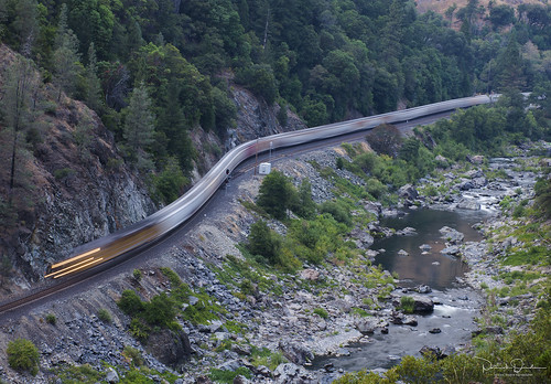
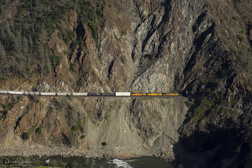
rail railroad train graintrain freighttrain cargo up unionpacific unionpacificrailroad upcanyonsubdivision pulgaca featherriver featherrivercanyon plumasnationalforest buttecounty sierranevada sierra northerncalifornia california
Changed View
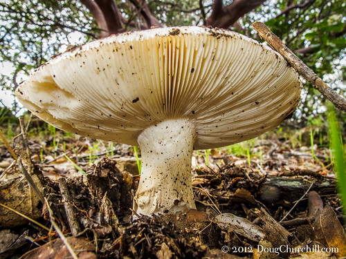
california park ca usa white foothills detail macro mushroom closeup fauna forest spectacular mushrooms outside flora diverse hiking sensitive details unitedstatesofamerica under fungi trail fungus underside backcountry urbanforest chico geology vistas macros closeups fillflash citypark municipalpark gills bidwellpark pristine bidwell undeveloped buttecounty canyonland bigchicocreek lowangleview macromondays canong12 humboldttrail
fungus among us... {Explore #62}
california b blackandwhite bw usa dog pet pets black dogs outside nose blackwhite trillian unitedstates w unitedstatesofamerica wideangle canine smell doberman chico dobie smells bidwellpark smelling canines dobermanpinscher 52weeks highangleview wideangles 1x12 highangleviews nikond800e lptg13wk2
02•52 • dog nose
california portrait photoshop dark rainbow smoke fractals christi seniorpictures spectral lovejoy bidwellpark upperpark chuckanderson bigchicocreek nopattern g9 bearhole explored genine powershotg9 lovejoybasalt
Her Spirit
christmas white tree colors lights bokeh
diet coke and mentos
chico bluffs bidwellpark buttecounty lavacap
Gold and green
trees girl leaves earth down canyon monica laying monrae01
obey the earth
christmas glass square lights crystal diamond menorah
Christmas Nova Explosion in D Minor
christmas tree lights star bokeh
Christmas Nova Explosion in D Major
sky tree silhouette branches naruto
spider webs of squirrels
california bridge usa places rivers featherriver oroville scenicshots
Bridge Over the Feather River
smoke dilo june2008 humboldtfire
June 12, 2008
california highway cowboy flickr mt state route 99 valley obrien northern 32 hdr lassen according obd80
O'B (6)
mountain snow lookout pfogold
View from Old Magalia
Grand view inside cafe
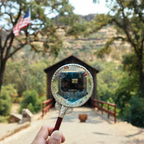
california travel bridge vacation foothills blur glass northerncalifornia rural forest vintage square photography one 1 countryside search holding focus paradise view distorted bokeh pov antique dailypic perspective creative canyon wanderlust magnifyingglass adventure explore pointofview study round theme series recreation norcal chico seek conceptual magnified spying find dailyphoto investigate circular photooftheday weeklytheme buttecounty buttecreek nationalregisterofhistoricplaces project365 buttecreekcanyon honeyrunbridge fujiprovia400x photoadaychallenge vscofilm buuckphotos buuckphotography shotonsonyrx100
Day 777 [8-5-15]: Honey Run Covered Bridge
california travel vacation forest river lenstagged unitedstatesofamerica roadtrip featherriver starred canonef24105f4l plumasnationalforest canon5dmarkii leafpeepingtrip cahighway70
Feather River
Enjoying the view
Canyon View
chico
Back view...
up5878 ac4400cte c44accte ge generalelectric diesel locomotive engine rail railroad train freighttrain up unionpacific unionpacificrailroad upcanyonsubdivision cliffs serpentine pulgaca buttecounty featherrivercanyon featherriver sierranevada northerncalifornia california
Living on the edge
landscape chico california silhouette tree outdoor nature
Peregrine Point
california railroad train rr locomotive freight bnsf featherrivercanyon dieselelectric westernpacificrailroad pulgaca
The Classic Feather River Canyon Shot
Sawmill Peak in February in shorts. 70 and sunny.
shadowrocklavasierranevadafoothillschicobuttecountycaliforniascramblebigchicocreekecologicalreserve
photographers shadow 2fer
california film beer closeup analog landscape landscapes daylight xpro unitedstates crossprocess can pbr chico grainy closeups brew e6 pabstblueribbon nikonn90s selectivefocus nikkor50mmf14d fujisensia c41
7 year itch...
Hwy 70 North Fork Feather River Bridge (Built 1932), Pulga, CA
chico bidwellpark bearhole californiaswimminghole
Bear Hole Panoramic
chico bidwellpark
Bidwell Park - Bear Hole. Ticket time!
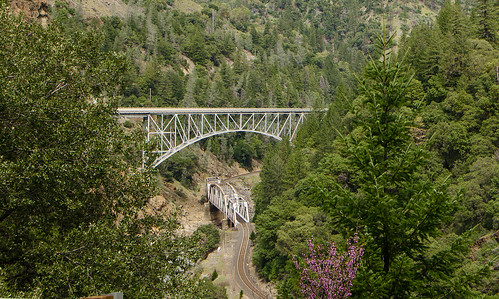
Double bridges, Feather River Canyon
california railroad mountains river union trains canyon unionpacific pulga stacks detour featherrivercanyon intermodal kmnoad
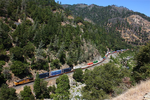
Stack Train at Pulga
chico upperpark thecreek
Near Salmon Hole, Upper Park
Swimming Hole
california chico bidwellpark bearhole
Bear Hole - Bidwell Park
happy butte mother ceremony ritual generations elders maiden herbal symposium matron crone womengathering womensgathering wewowis weavingwomenswisdom
opening ceremony
california chico bidwellpark bearhole
Bear Hole - Bidwell Park
california festival village native teepee sweatlodge concow
the meadow
california festival village native teepee sweatlodge concow
native village
california paradise unitedstates
ParadiseView-2
california festival village native teepee sweatlodge concow
the meadow
Weeping pine