Elevation of Wishram, WA, USA
Location: United States > Washington > Klickitat County >
Longitude: -120.96673
Latitude: 45.6573451
Elevation: 53m / 174feet
Barometric Pressure: 101KPa
Elevation Map:
Satellite Map:
Related Photos:
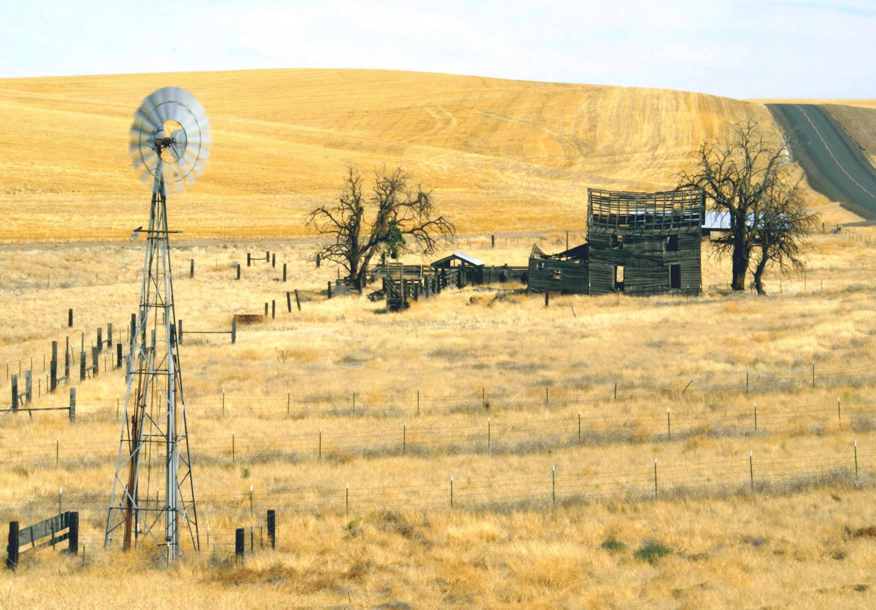
Return To The Past

Rusty Car among Flowers. (Columbia Hills, WA)
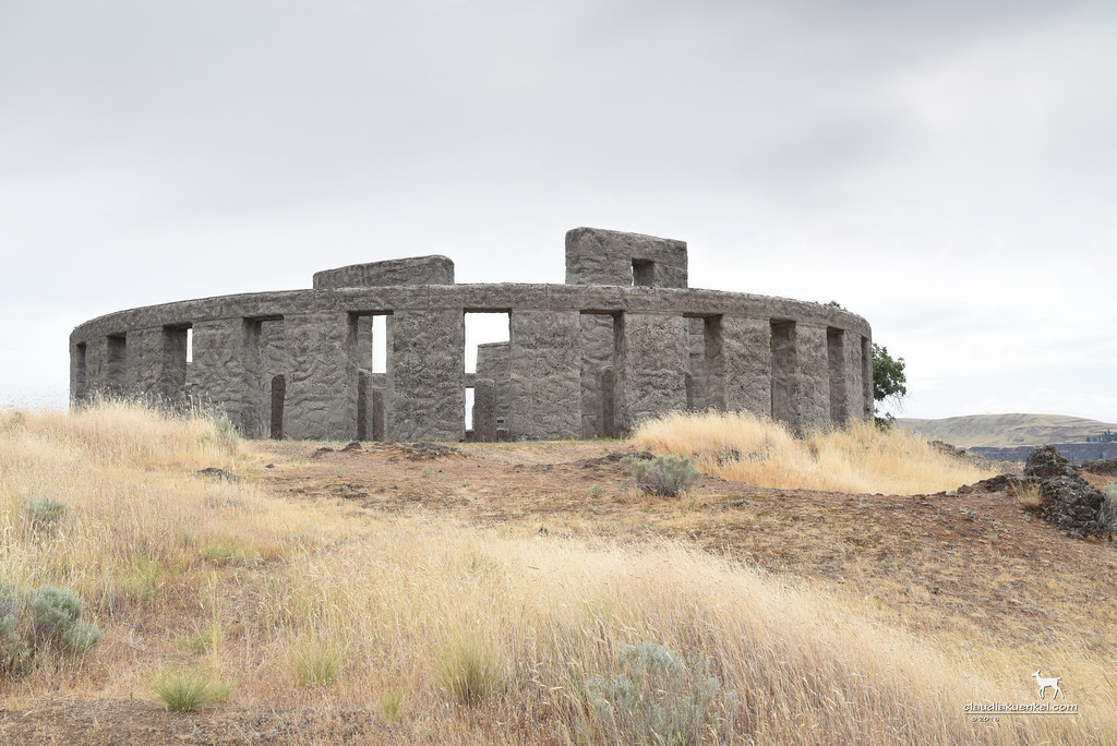
Stonehenge?

Maryhill-Columbus Cemetery
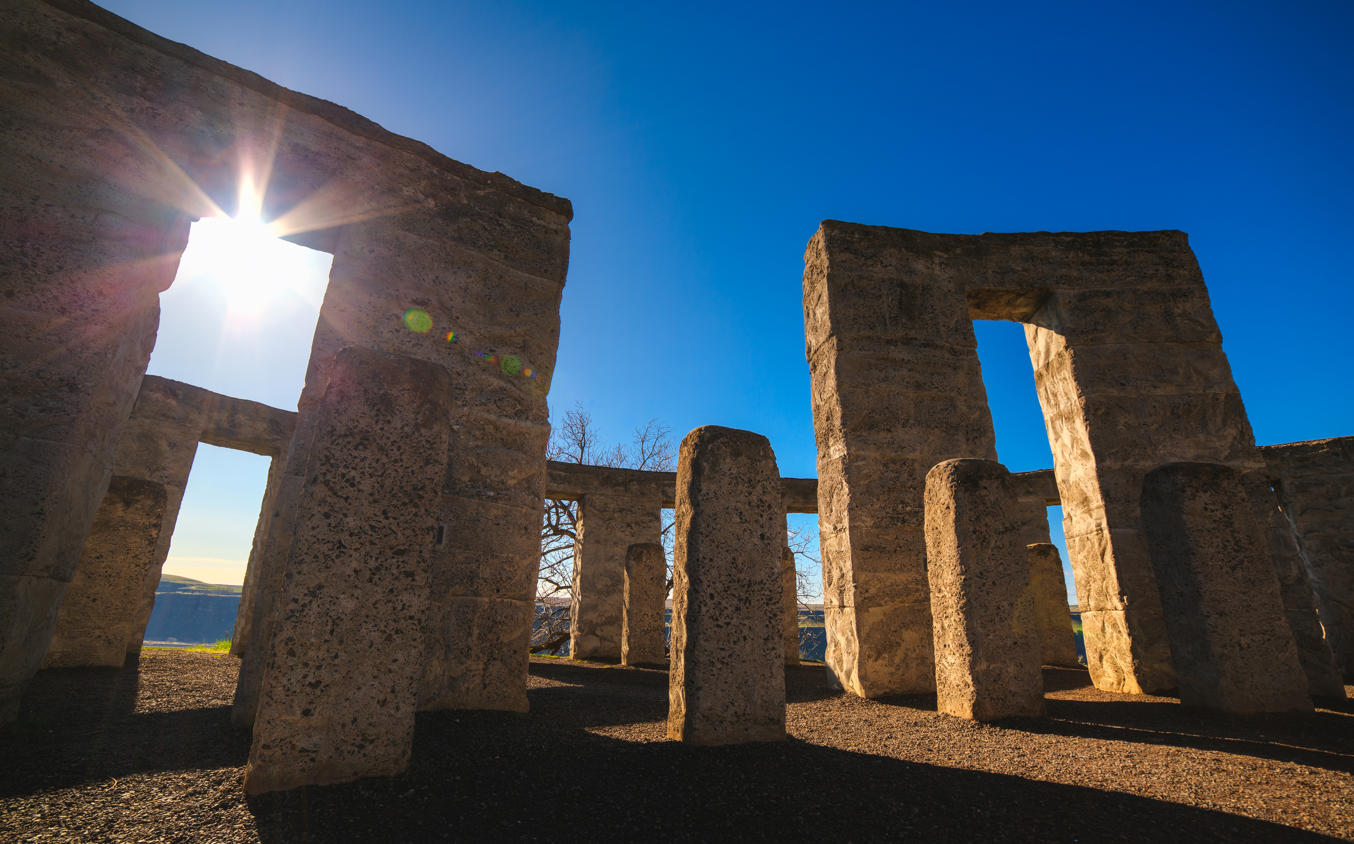
Ring of Standing Stones

An American Stonehenge
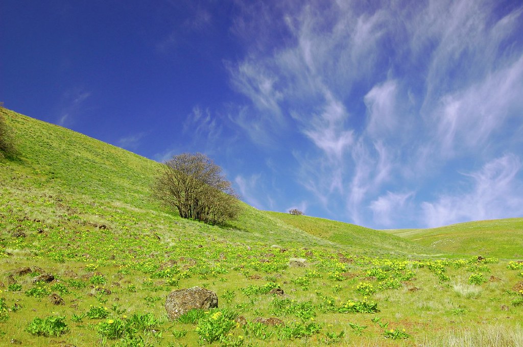
Rolling hills

Perseids at Maryhill Stonehenge
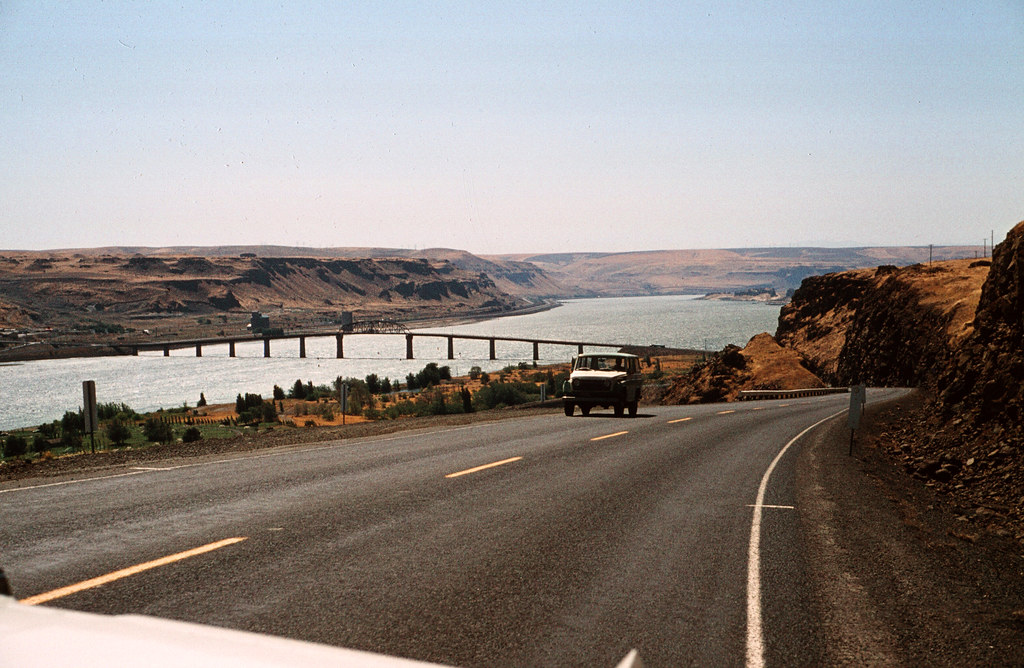
End of the Oregon Trail - The Dalles

Stone Clock
DOS22-64

Bottoms up!

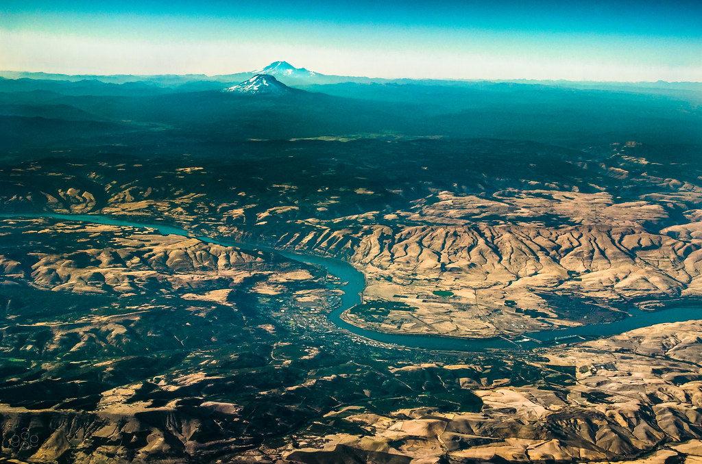
Warbonnets on the Q
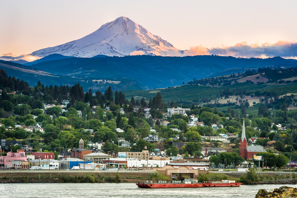
Mt. Hood towers over The Dalles
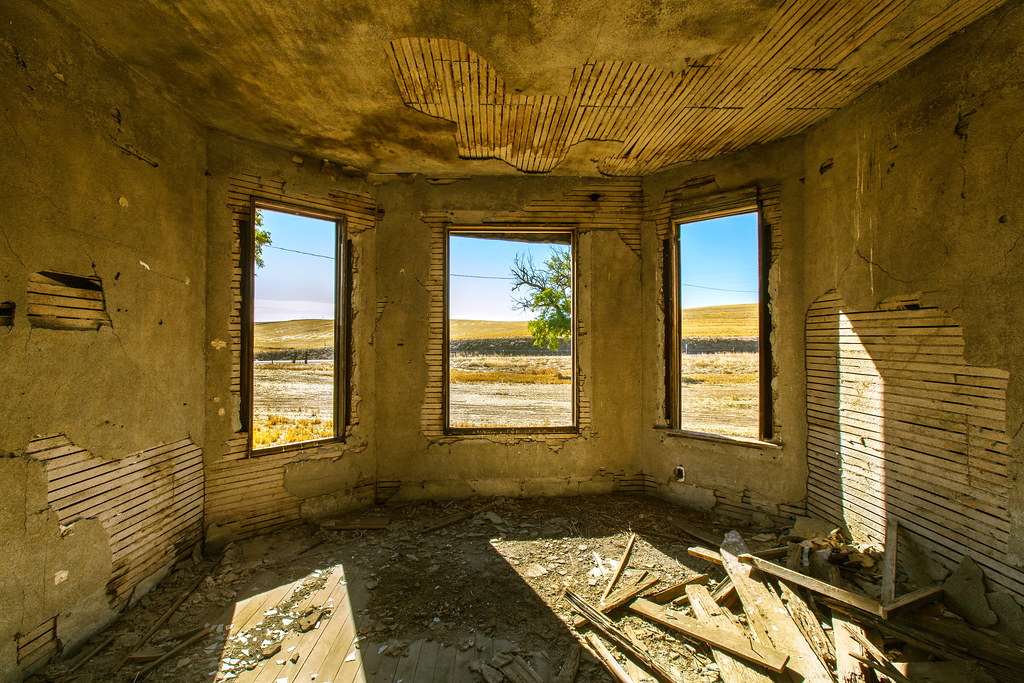
Bay Windows
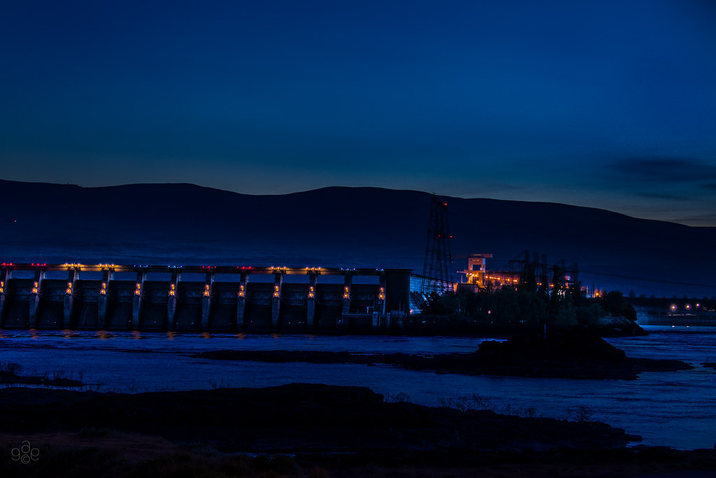
The Dalles Dam in morning blue

Springtime Bloom

Mount Hood southwest of The Dalles Bridge 6 17 2012
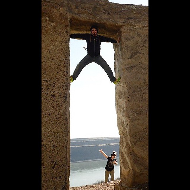
Photo by @micheallee992 just trying to get a better view

View from Maryhill Winery, Goldendale, WA - HDR
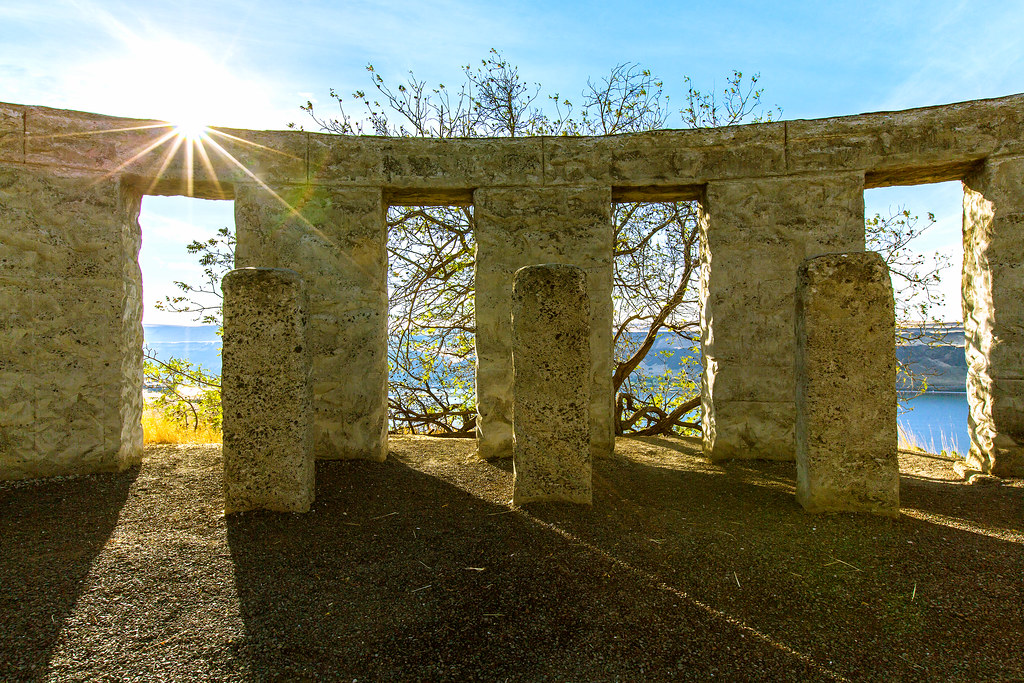
Stonehenge Morning Light
Topographic Map of Wishram, WA, USA
Find elevation by address:

Places in Wishram, WA, USA:
Places near Wishram, WA, USA:
Ravens Roost
518 Bluff Rd
Oregon Veterans Home
The Dalles Dam
425 E Knoll Dr
2735 E 12th St
2523 E 12th St
1804 Oakwood Dr
1731 E 16th St
The Dalles
1000 E 14th St
915 E 18th St
1313 Madison St
751 E 18th St
215 W 7th St
Veteran's Memorial
Pleasant Ridge Road
4200 Columbia Rd
322 W 20th St
1615 Bridge St
Recent Searches:
- Elevation of Corso Fratelli Cairoli, 35, Macerata MC, Italy
- Elevation of Tallevast Rd, Sarasota, FL, USA
- Elevation of 4th St E, Sonoma, CA, USA
- Elevation of Black Hollow Rd, Pennsdale, PA, USA
- Elevation of Oakland Ave, Williamsport, PA, USA
- Elevation of Pedrógão Grande, Portugal
- Elevation of Klee Dr, Martinsburg, WV, USA
- Elevation of Via Roma, Pieranica CR, Italy
- Elevation of Tavkvetili Mountain, Georgia
- Elevation of Hartfords Bluff Cir, Mt Pleasant, SC, USA