Elevation of Ravens Roost, Lyle, WA, USA
Location: United States > Washington > Klickitat County > Wishram >
Longitude: -120.96544
Latitude: 45.6609386
Elevation: 123m / 404feet
Barometric Pressure: 100KPa
Elevation Map:
Satellite Map:
Related Photos:
20170311_145533-01
Return To The Past

Abandoned Car at Sunrise (Dalles Mountain Ranch Park, WA)
Abandoned Yet Not Forgotten

Balsam Root + Mt Hood Golden Hour

Balsam Root + Mt Hood Golden Hour

Balsam Root + Mt Hood Golden Hour
Just an Old Car Sitting in a Field of Wildflowers

Old Car

Balsam Root + Mt Hood Sunset
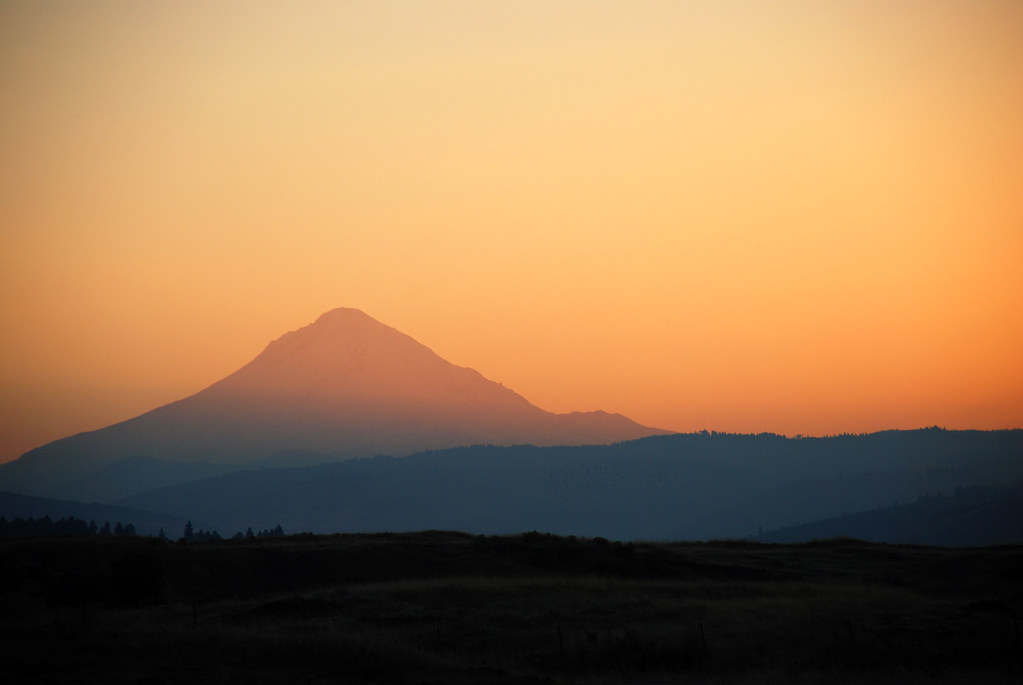
Sunset Silhouette of Mt. Hood

P4180049.jpg

Balsam Root + Mt Hood Just After Sunset
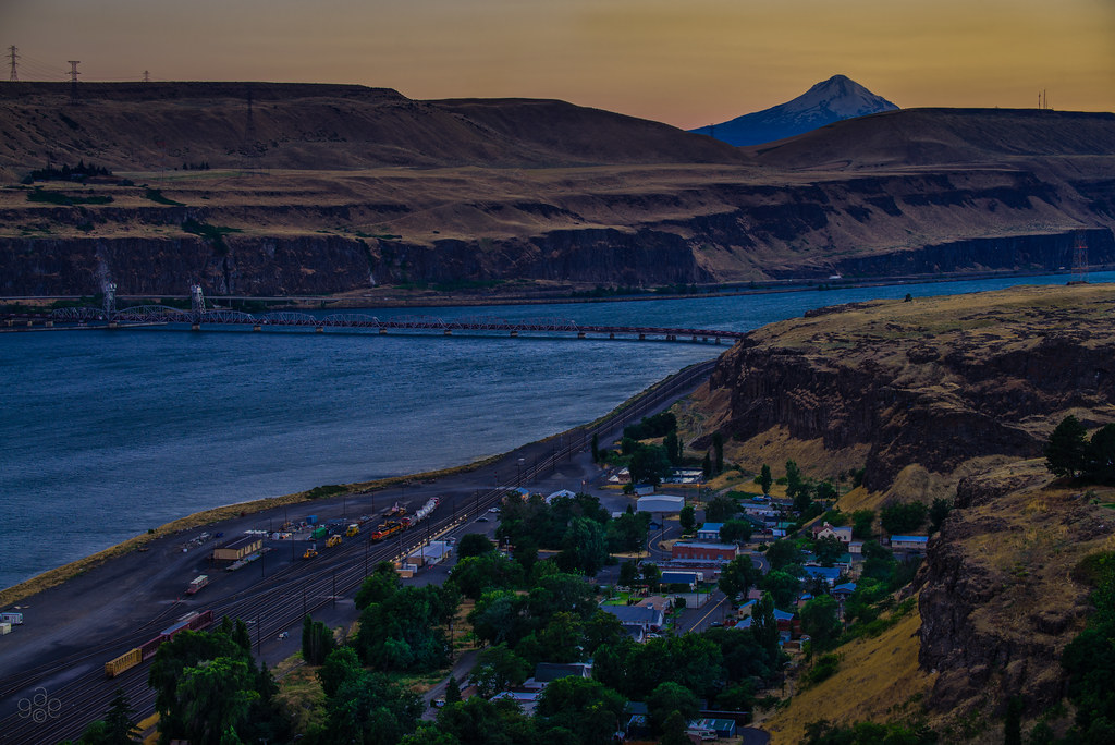
Twilight comes to Wishram
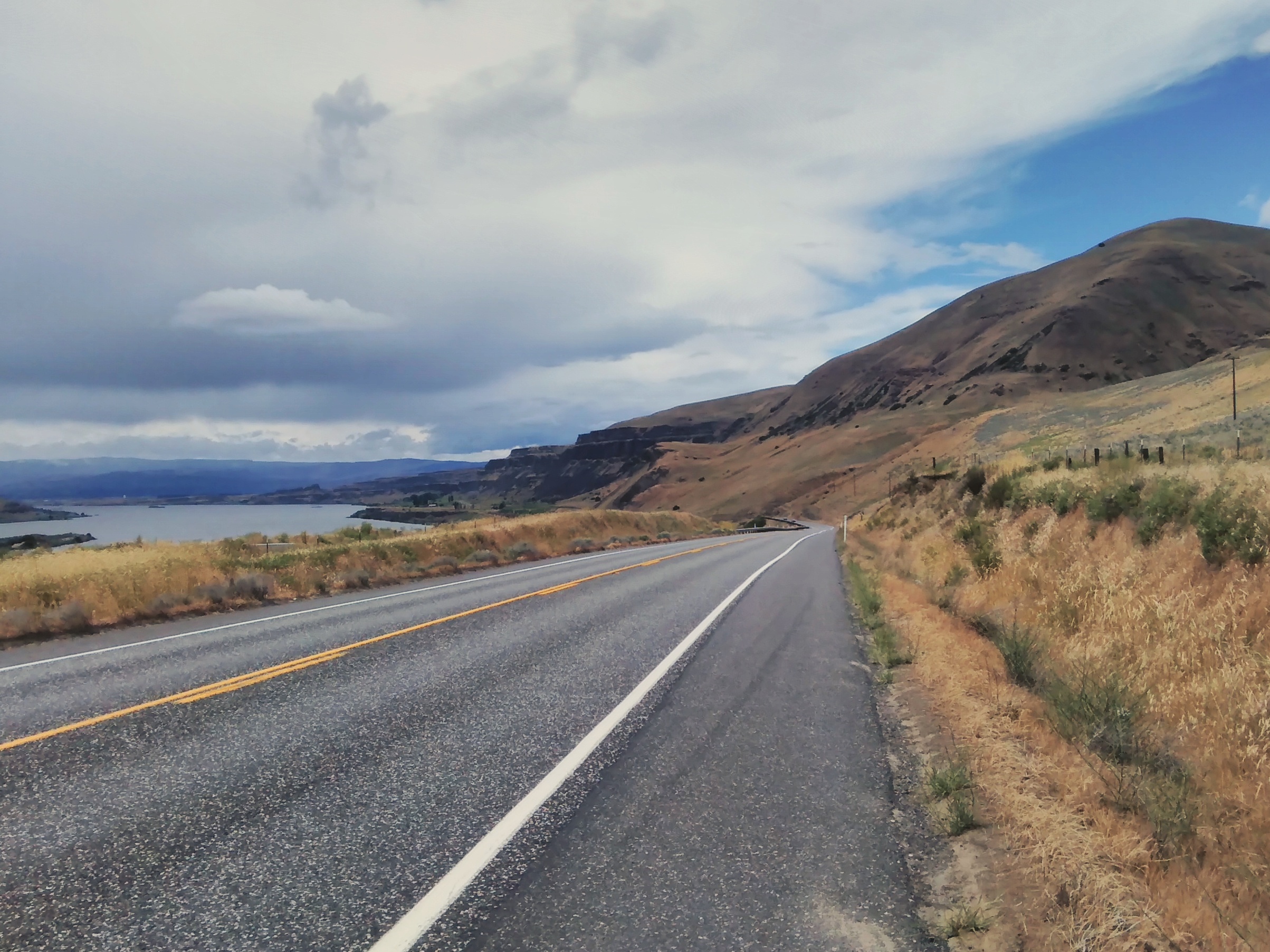
Vignettes of today's ride: 50ish miles west through the Gorge, from the John Day River to Bingen as the dry side transitions to the wet. #columbiagorge #gorgedalleseasttourjune17

Scenic Parking

Maryhill-Columbus Cemetery
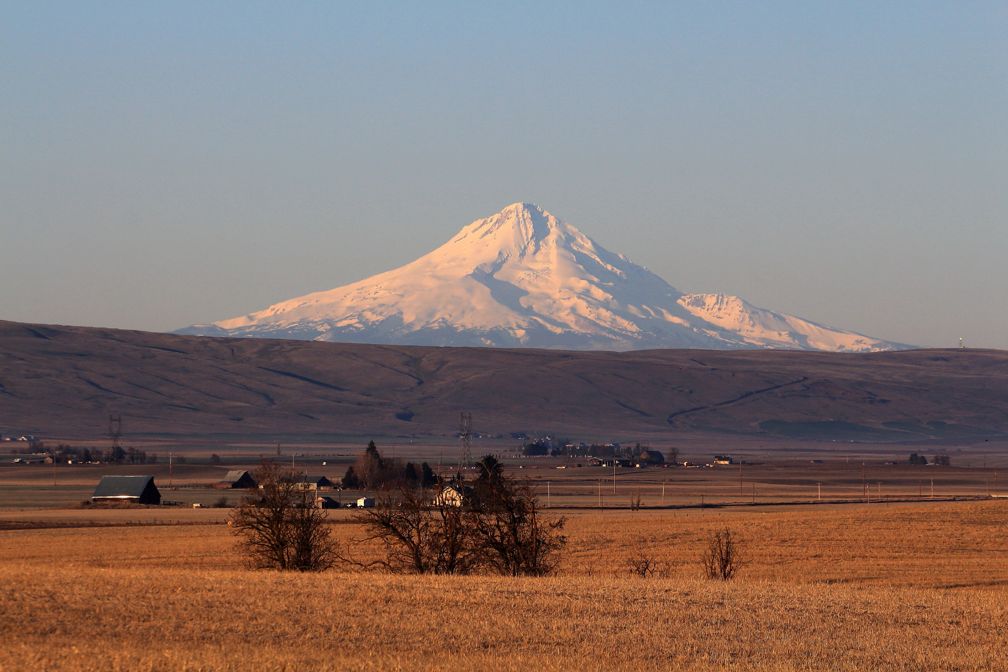
Mount Hood from Goldendale
Red barn and Mount Adams
Deschuttes river trail

Deschutes River hike 1/18-1/19 2014
Topographic Map of Ravens Roost, Lyle, WA, USA
Find elevation by address:

Places near Ravens Roost, Lyle, WA, USA:
518 Bluff Rd
Wishram
Oregon Veterans Home
The Dalles Dam
425 E Knoll Dr
2735 E 12th St
2523 E 12th St
1804 Oakwood Dr
1731 E 16th St
The Dalles
1000 E 14th St
915 E 18th St
1313 Madison St
751 E 18th St
215 W 7th St
Veteran's Memorial
4200 Columbia Rd
Pleasant Ridge Road
322 W 20th St
1615 Bridge St
Recent Searches:
- Elevation of Corso Fratelli Cairoli, 35, Macerata MC, Italy
- Elevation of Tallevast Rd, Sarasota, FL, USA
- Elevation of 4th St E, Sonoma, CA, USA
- Elevation of Black Hollow Rd, Pennsdale, PA, USA
- Elevation of Oakland Ave, Williamsport, PA, USA
- Elevation of Pedrógão Grande, Portugal
- Elevation of Klee Dr, Martinsburg, WV, USA
- Elevation of Via Roma, Pieranica CR, Italy
- Elevation of Tavkvetili Mountain, Georgia
- Elevation of Hartfords Bluff Cir, Mt Pleasant, SC, USA