Elevation of Willowby Run, Union Mills, NC, USA
Location: United States > North Carolina > Rutherford County > Camp Creek >
Longitude: -81.965867
Latitude: 35.4609895
Elevation: 300m / 984feet
Barometric Pressure: 98KPa
Elevation Map:
Satellite Map:
Related Photos:

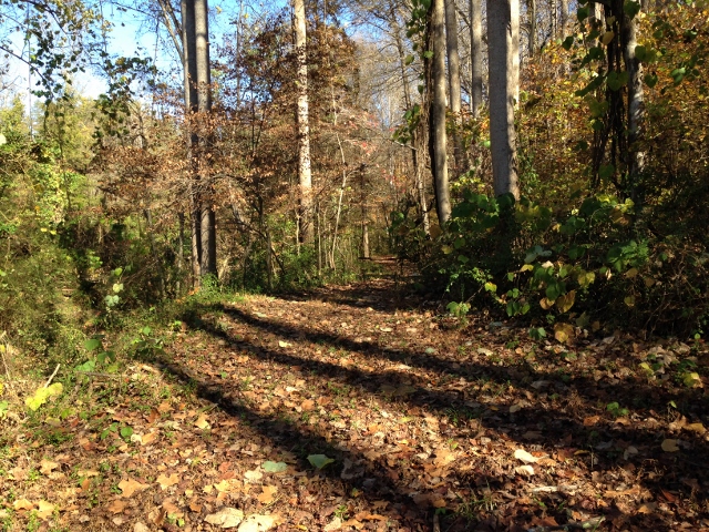
Out Back

Gypsy Gold
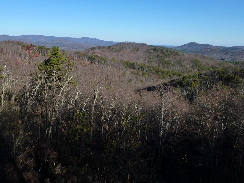
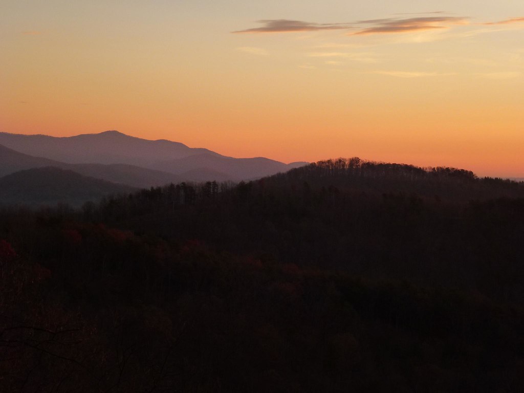
After Dinner View

Not a bad view at all and a fun hike. Base of the waterfall at Chimney Rock.
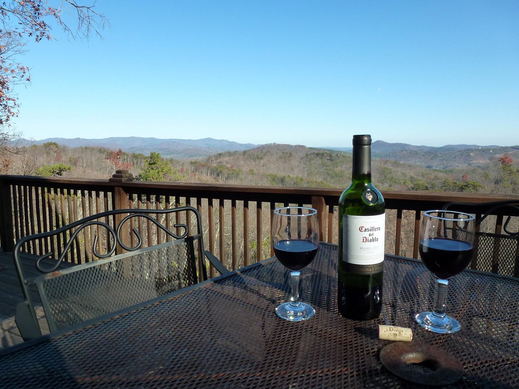
View from the Deck
View from the Deck

Train Chase [II]
IMG_2187 (640x480)
Sunrise from the Deck

Rock Railroad

IMG_2173 (640x480)
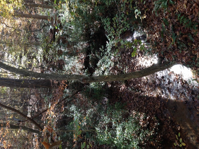
IMG_2173 (640x480)

IMG_2151 (640x480)
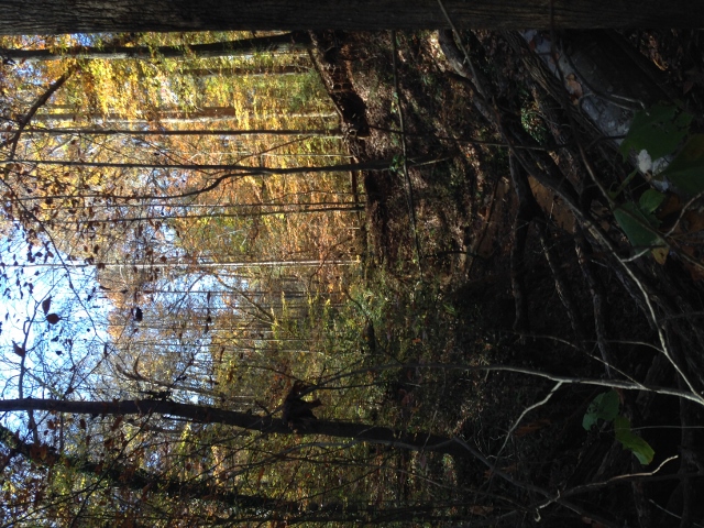
IMG_2151 (640x480)
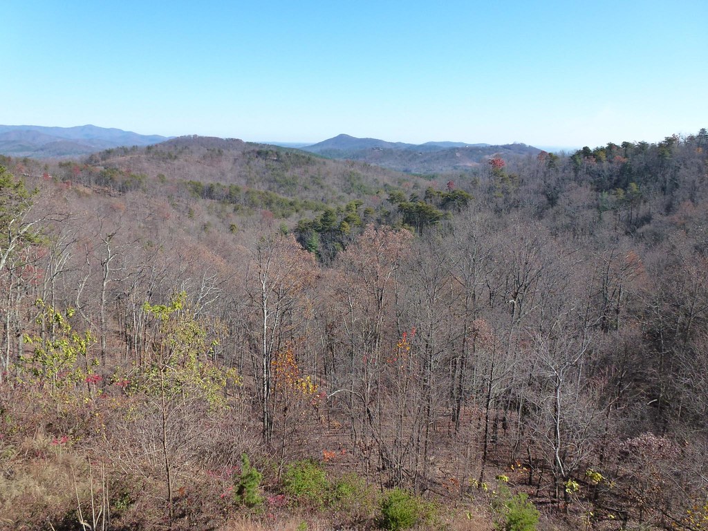
A New Day
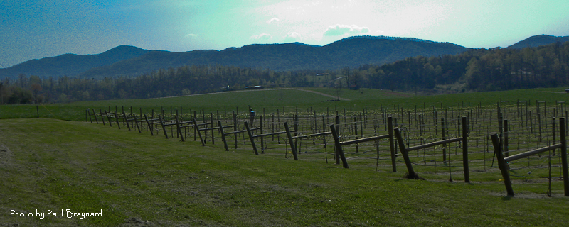
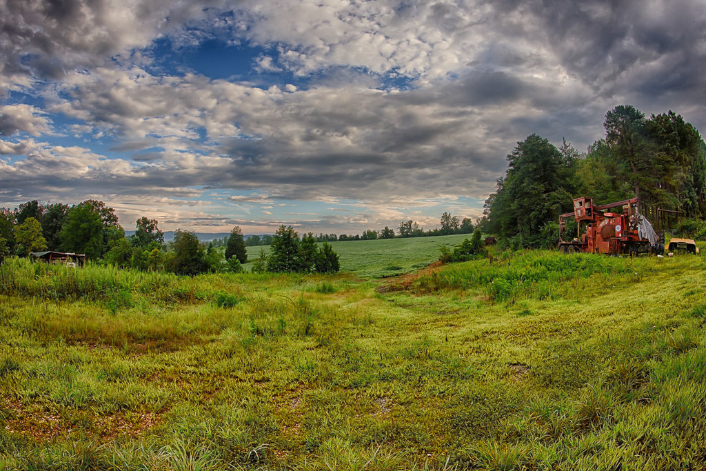
DeMariano Vineyards
Rutherfordton House
IMG_2172 (640x206)

Little towns of USA #tiltshift #tiltshiftgen #northcarolina #chimmeyrock
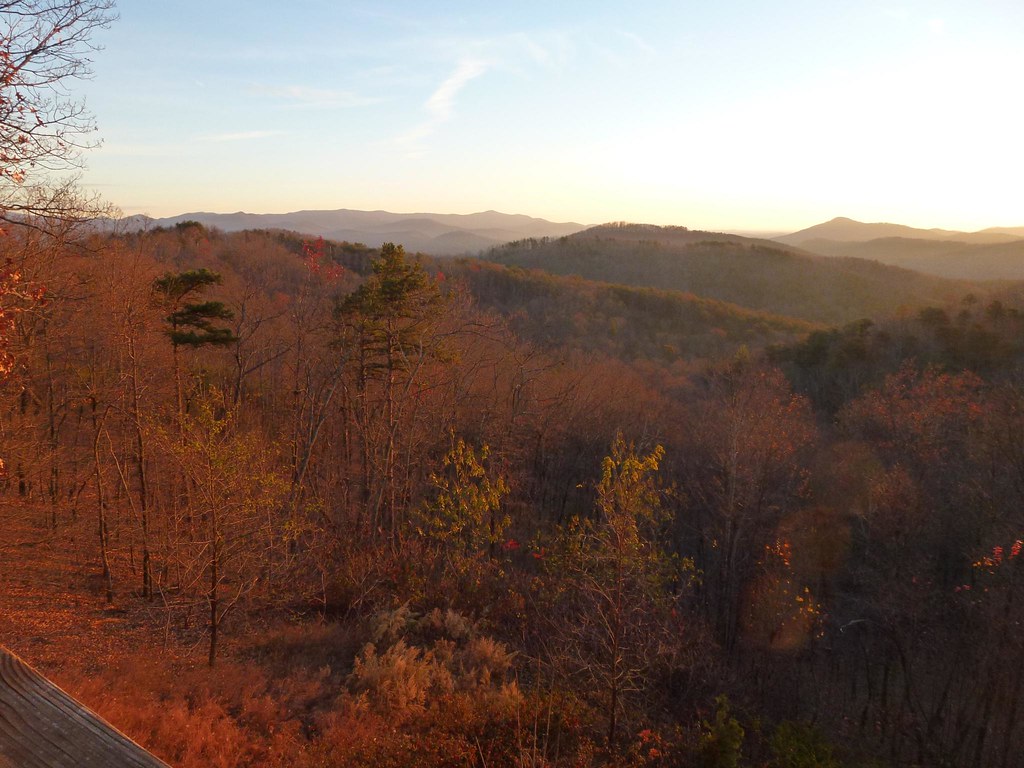
Sunrise from the Deck

DeMariano Vineyard

IMG_2166 (640x480)
IMG_2166 (640x480)
IMG_2161 (640x480)

IMG_2161 (640x480)
IMG_2186 (640x480)
IMG_2144 (640x480)
Topographic Map of Willowby Run, Union Mills, NC, USA
Find elevation by address:

Places near Willowby Run, Union Mills, NC, USA:
502 Moonlight Pass
214 Chocolate Drop Cir
214 Chocolate Drop Cir
135 Willowby Run
320 Chocolate Drop Cir
520 Widd Lawing Ln
Hearthstone Ridge
Gilkey
Oak Springs Rd, Rutherfordton, NC, USA
Union Mills
Gilkey
2619 Rock Rd
6558 Hudlow Rd
1904 Centennial Rd
Camp Creek
454 Gilmer Edwards Rd
348 Roper Loop Rd
355 Roper Loop Rd
336 Cinnamon Ridge
1142 Clearwater Pkwy
Recent Searches:
- Elevation of Corso Fratelli Cairoli, 35, Macerata MC, Italy
- Elevation of Tallevast Rd, Sarasota, FL, USA
- Elevation of 4th St E, Sonoma, CA, USA
- Elevation of Black Hollow Rd, Pennsdale, PA, USA
- Elevation of Oakland Ave, Williamsport, PA, USA
- Elevation of Pedrógão Grande, Portugal
- Elevation of Klee Dr, Martinsburg, WV, USA
- Elevation of Via Roma, Pieranica CR, Italy
- Elevation of Tavkvetili Mountain, Georgia
- Elevation of Hartfords Bluff Cir, Mt Pleasant, SC, USA