Elevation of Hearthstone Ridge, Hearthstone Dr, Union Mills, NC, USA
Location: United States > North Carolina > Rutherford County > Camp Creek > Union Mills >
Longitude: -81.962320
Latitude: 35.4509105
Elevation: 283m / 928feet
Barometric Pressure: 98KPa
Elevation Map:
Satellite Map:
Related Photos:

View from the Courthouse

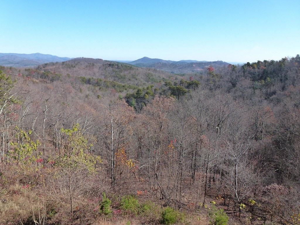
Out Back

Hardin's Drug Store Billboard - Forest City, NC

Not a bad view at all and a fun hike. Base of the waterfall at Chimney Rock.
After Dinner View
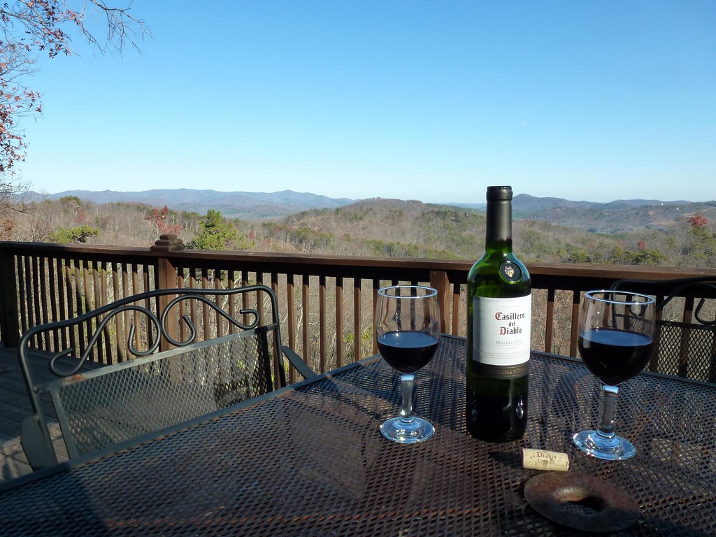
View from the Deck

View from the Deck

Train Chase [II]

IMG_2458 (640x480)

IMG_2462 (640x480)

IMG_2445 (640x480)

IMG_2447 (640x191)

A New Day

Rutherfordton House

The Grazing of the Grey

Camp Golden Valley

Camp Golden Valley

IMG_2408 (640x480)

IMG_2411 (640x480)

IMG_2310 (640x480)

IMG_2497 (640x480)

IMG_2491 (640x480)

IMG_2435 (640x480)

IMG_3944 (640x480)

IMG_2243 (640x480)

IMG_2236 (640x480)

IMG_2490 (640x480)
Topographic Map of Hearthstone Ridge, Hearthstone Dr, Union Mills, NC, USA
Find elevation by address:

Places near Hearthstone Ridge, Hearthstone Dr, Union Mills, NC, USA:
320 Chocolate Drop Cir
214 Chocolate Drop Cir
214 Chocolate Drop Cir
135 Willowby Run
Willowby Run
502 Moonlight Pass
520 Widd Lawing Ln
Gilkey
Oak Springs Rd, Rutherfordton, NC, USA
2619 Rock Rd
Gilkey
454 Gilmer Edwards Rd
Union Mills
348 Roper Loop Rd
355 Roper Loop Rd
6558 Hudlow Rd
821 Thompson Rd
1904 Centennial Rd
336 Cinnamon Ridge
1142 Clearwater Pkwy
Recent Searches:
- Elevation of Corso Fratelli Cairoli, 35, Macerata MC, Italy
- Elevation of Tallevast Rd, Sarasota, FL, USA
- Elevation of 4th St E, Sonoma, CA, USA
- Elevation of Black Hollow Rd, Pennsdale, PA, USA
- Elevation of Oakland Ave, Williamsport, PA, USA
- Elevation of Pedrógão Grande, Portugal
- Elevation of Klee Dr, Martinsburg, WV, USA
- Elevation of Via Roma, Pieranica CR, Italy
- Elevation of Tavkvetili Mountain, Georgia
- Elevation of Hartfords Bluff Cir, Mt Pleasant, SC, USA