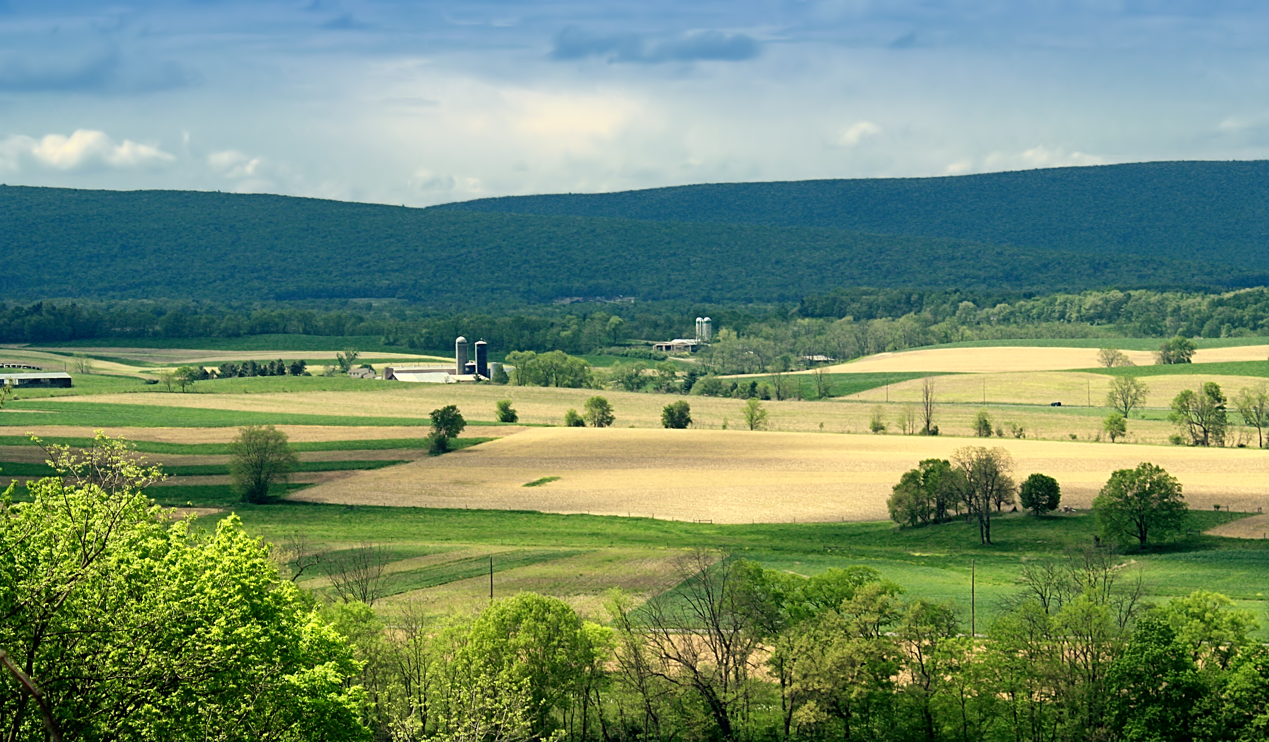
Elevation of Williamsport South / Nittany Mtn. KOA Holiday, Millers Bottom Rd, New Columbia, PA, USA
Location: United States > Pennsylvania > Union County > White Deer Township > New Columbia >
Longitude: -76.954467
Latitude: 41.0473921
Elevation: 208m / 682feet
Barometric Pressure: 99KPa
Elevation Map:
Satellite Map:
Related Photos:
Dale's Ridge Trail (2)
end of another day!!!
Watsontown Siding
Track Long View (8271_crop)
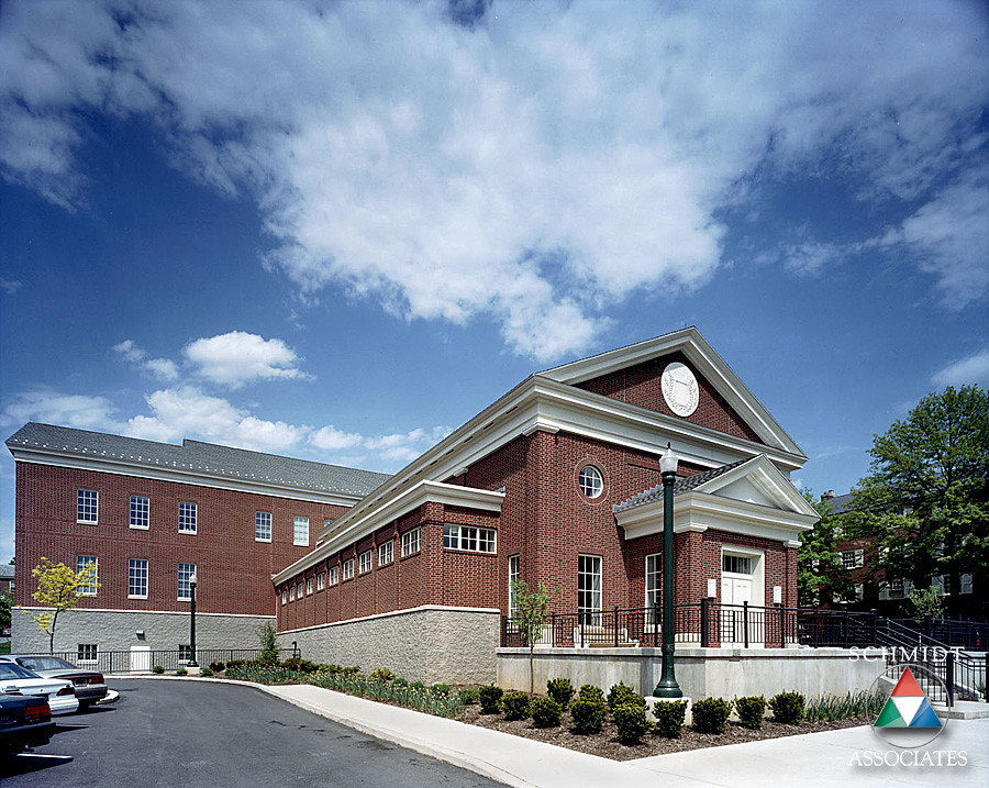
Southside View
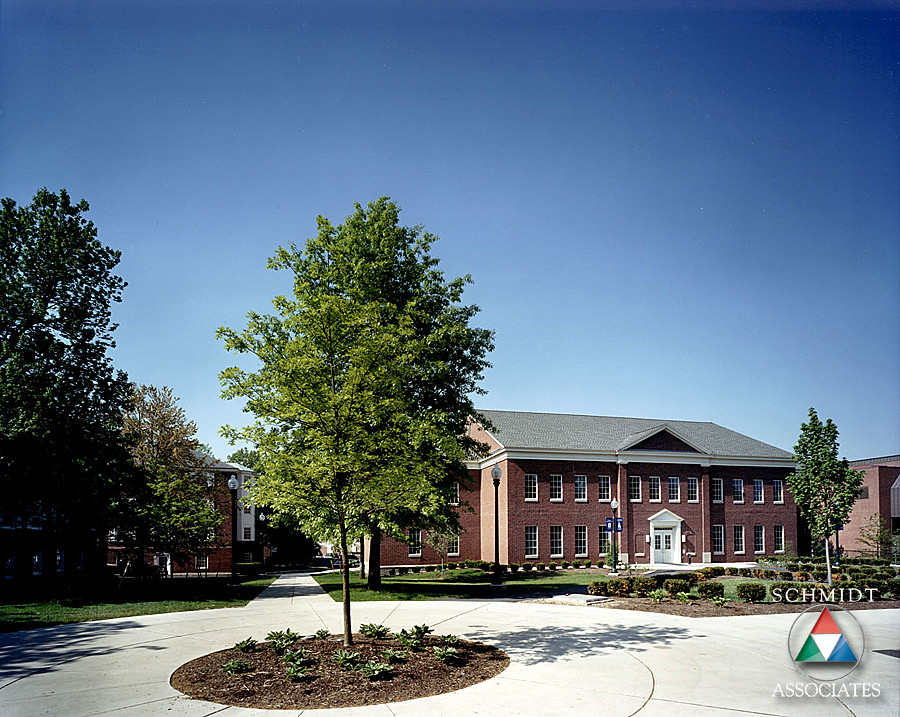
Northside View
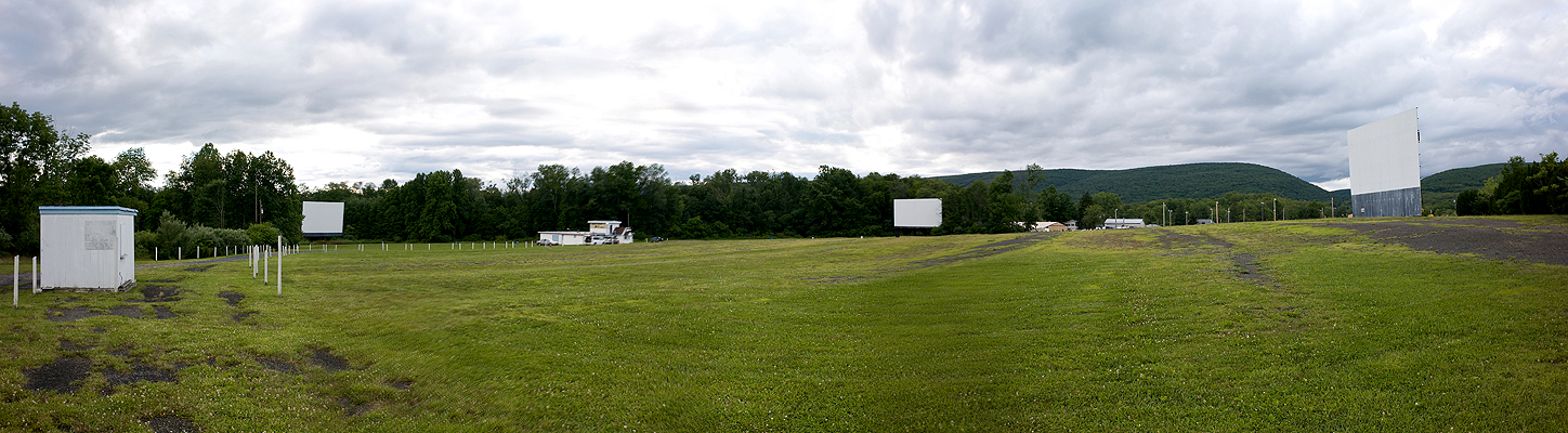
Pike Drive-In - Three Screens Panoramic Shot
Pike Drive-In - Epic II
Exterior Side View
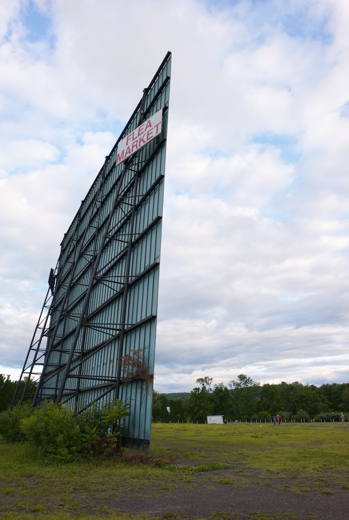
Exterior Back View
The Ridge
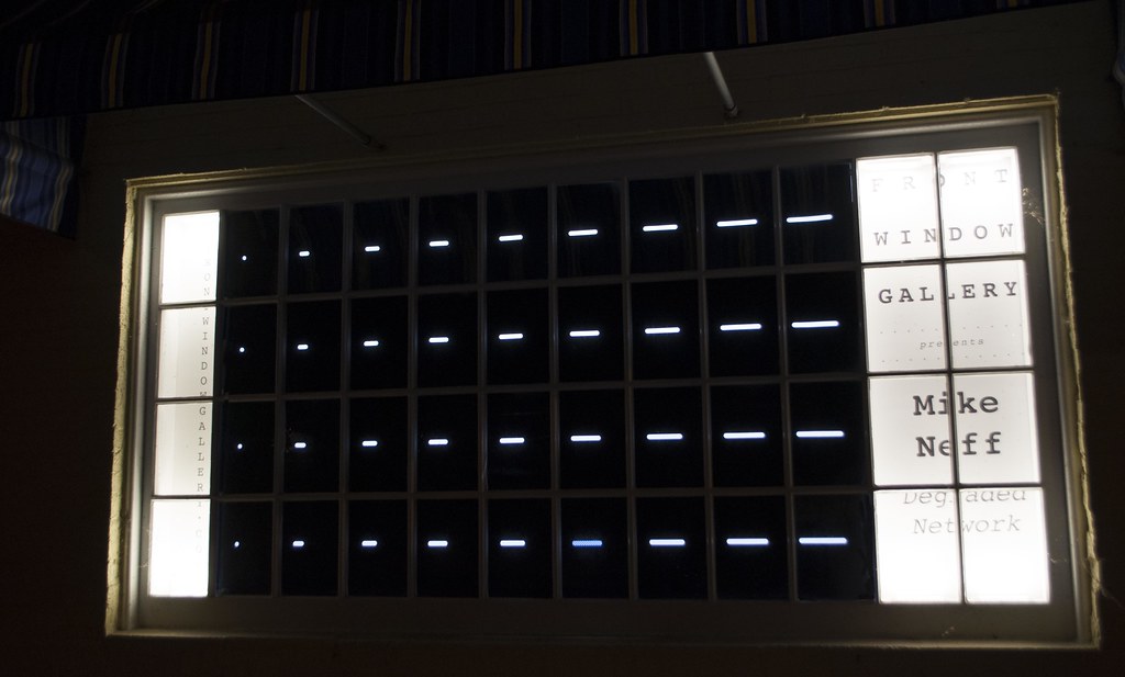
Michael Neff: Degraded Network. 2016
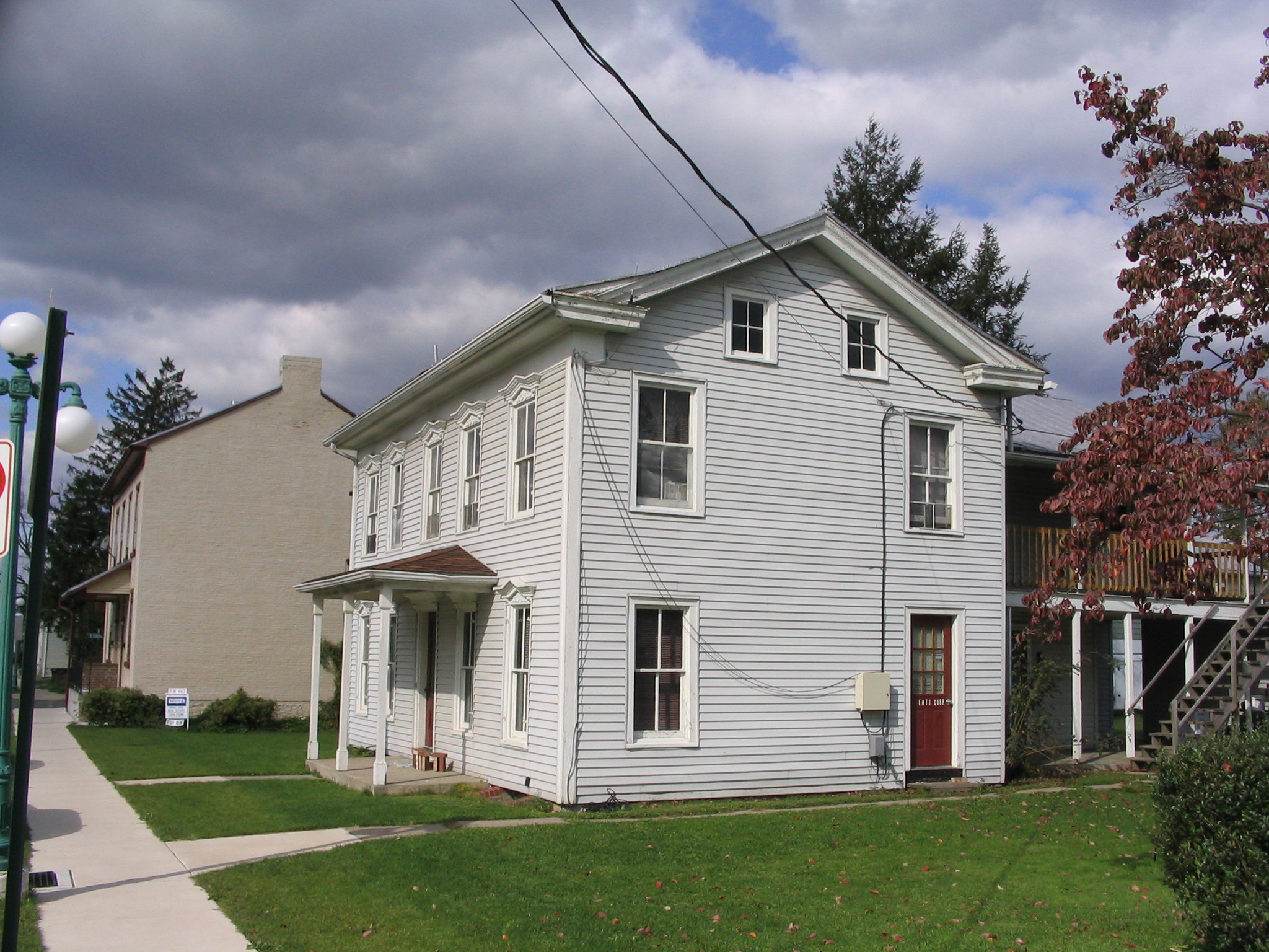
52 N 5th St

Michael Neff: Degraded Network. 2016
Michael Neff: Degraded Network. 2016
Michael Neff: Degraded Network. 2016
Michael Neff: Degraded Network. 2016
Michael Neff: Degraded Network. 2016
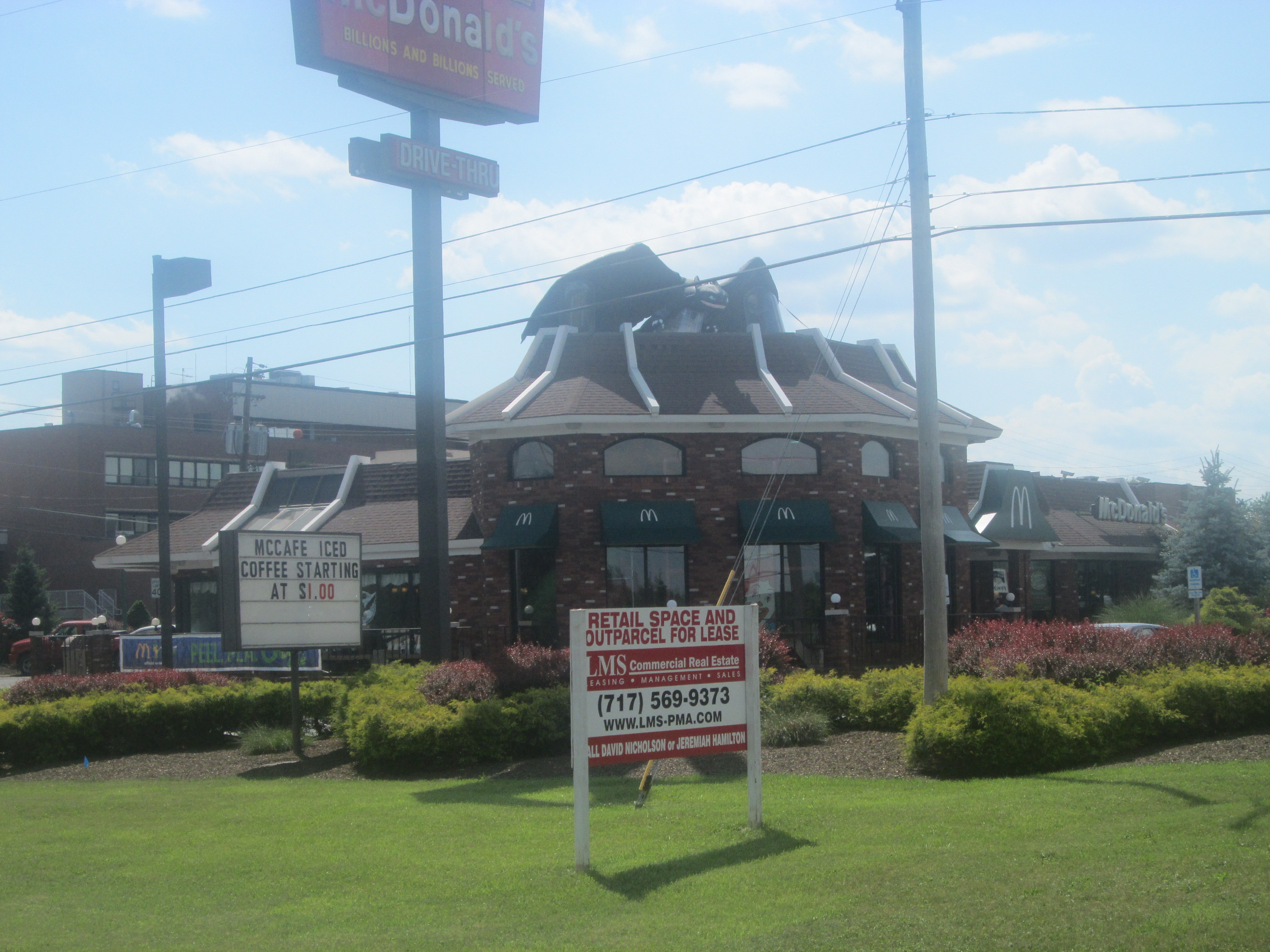
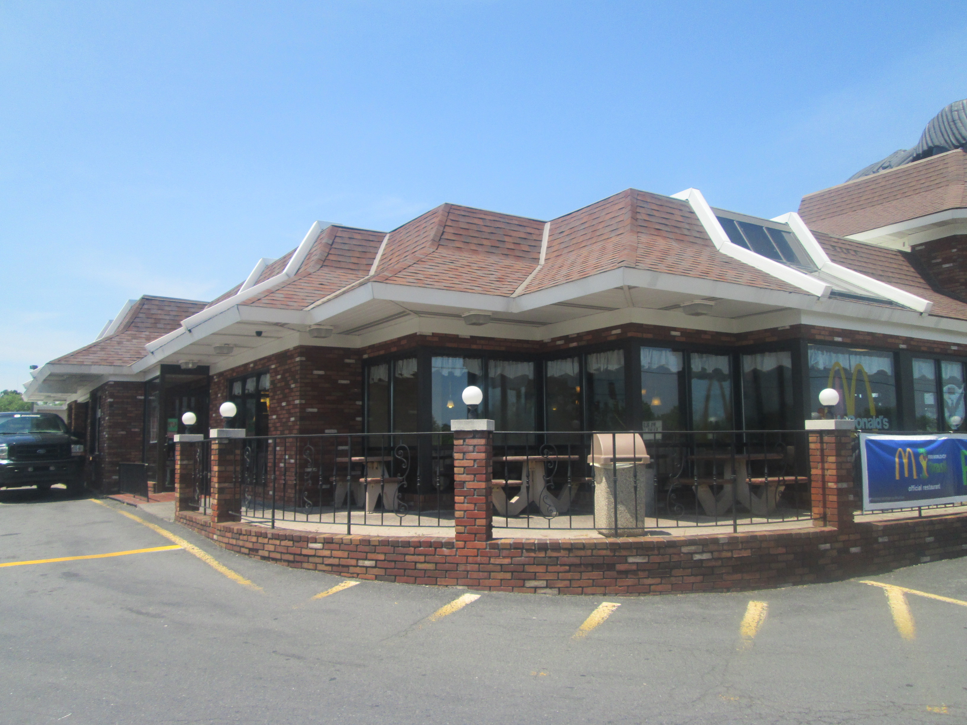
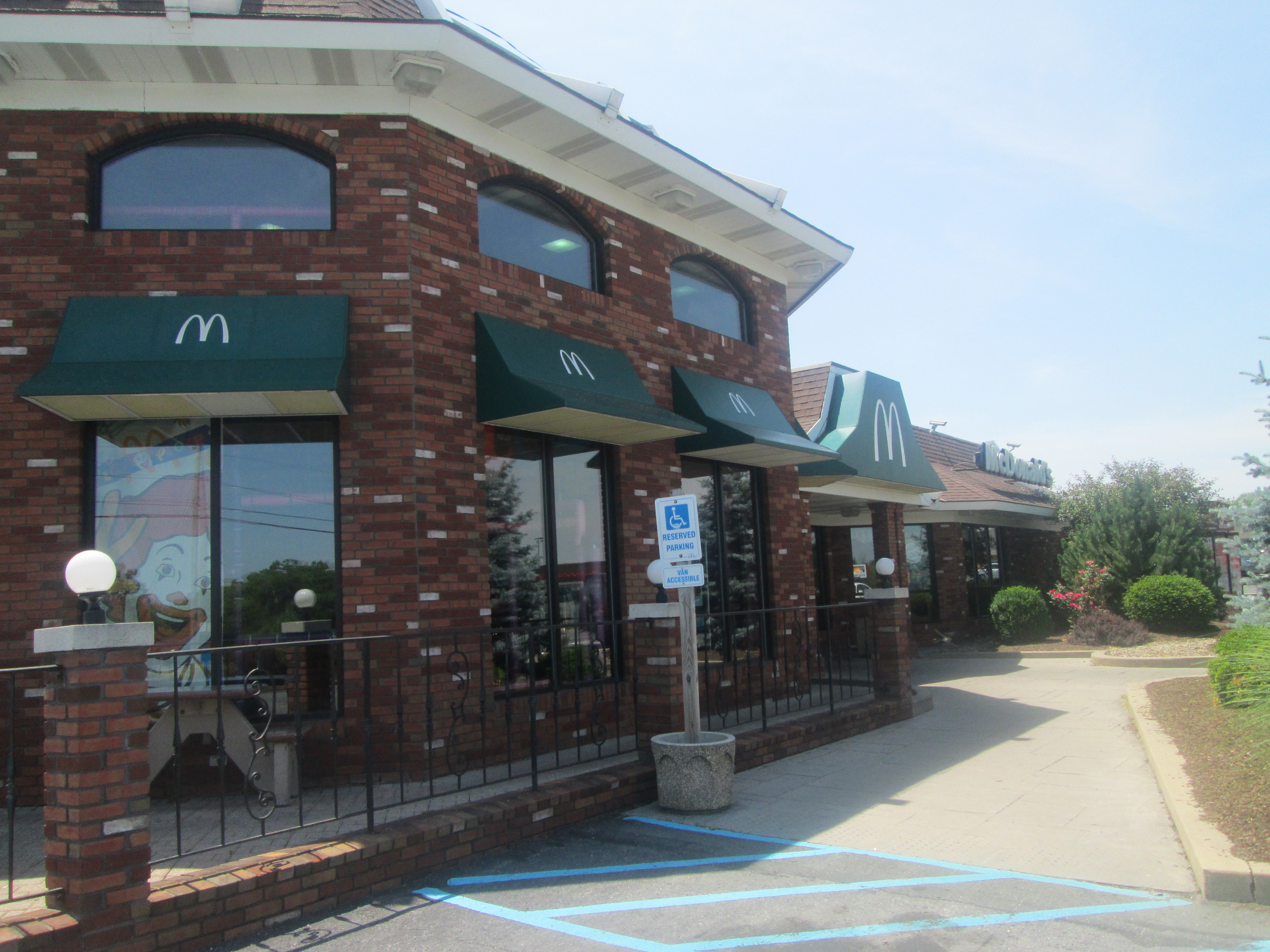
Lewisburg McDonald's (US 15 Road View)
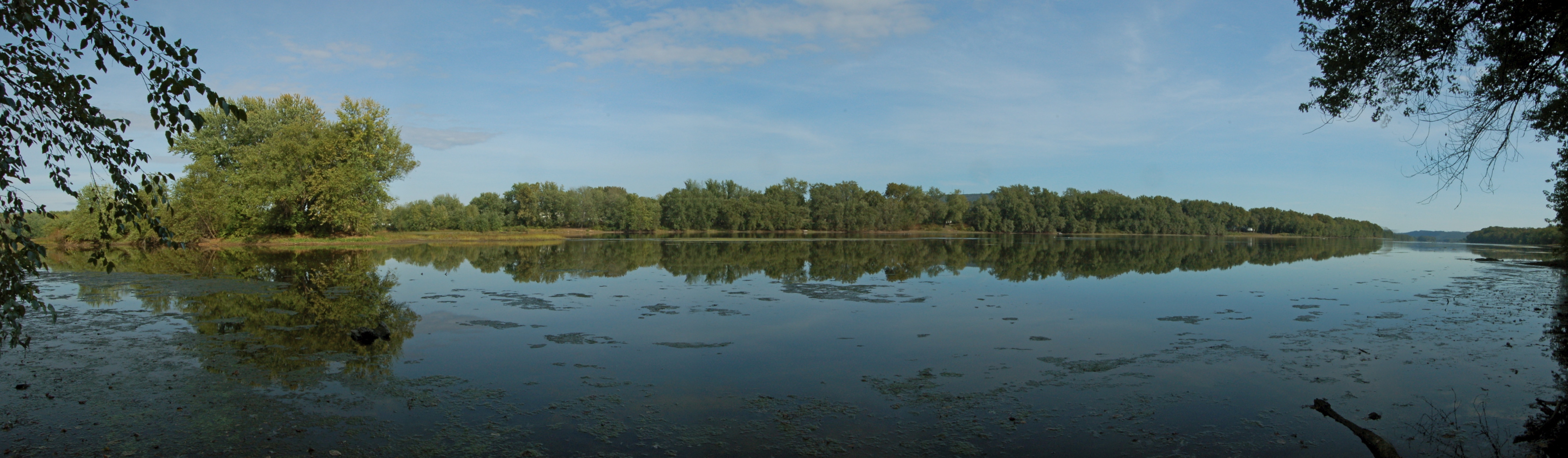
Susquehanna River near Lewisburg, PA
Topographic Map of Williamsport South / Nittany Mtn. KOA Holiday, Millers Bottom Rd, New Columbia, PA, USA
Find elevation by address:

Places near Williamsport South / Nittany Mtn. KOA Holiday, Millers Bottom Rd, New Columbia, PA, USA:
White Deer Township
Kelly Township
2375 Crossroads Dr
Dale's Ridge Trail
Allenwood
160 Commerce Park Dr
White Deer Pike, New Columbia, PA, USA
High St, West Milton, PA, USA
West Milton
New Columbia
Buffalo Valley Lutheran Village
621 Elm St
414 Elm St
911 Terrace Dr
Watsontown
Linntown
Silvertip Inc
18 N Arch St
136 N 4th St
184 E 1st St
Recent Searches:
- Elevation of Congressional Dr, Stevensville, MD, USA
- Elevation of Bellview Rd, McLean, VA, USA
- Elevation of Stage Island Rd, Chatham, MA, USA
- Elevation of Shibuya Scramble Crossing, 21 Udagawacho, Shibuya City, Tokyo -, Japan
- Elevation of Jadagoniai, Kaunas District Municipality, Lithuania
- Elevation of Pagonija rock, Kranto 7-oji g. 8"N, Kaunas, Lithuania
- Elevation of Co Rd 87, Jamestown, CO, USA
- Elevation of Tenjo, Cundinamarca, Colombia
- Elevation of Côte-des-Neiges, Montreal, QC H4A 3J6, Canada
- Elevation of Bobcat Dr, Helena, MT, USA