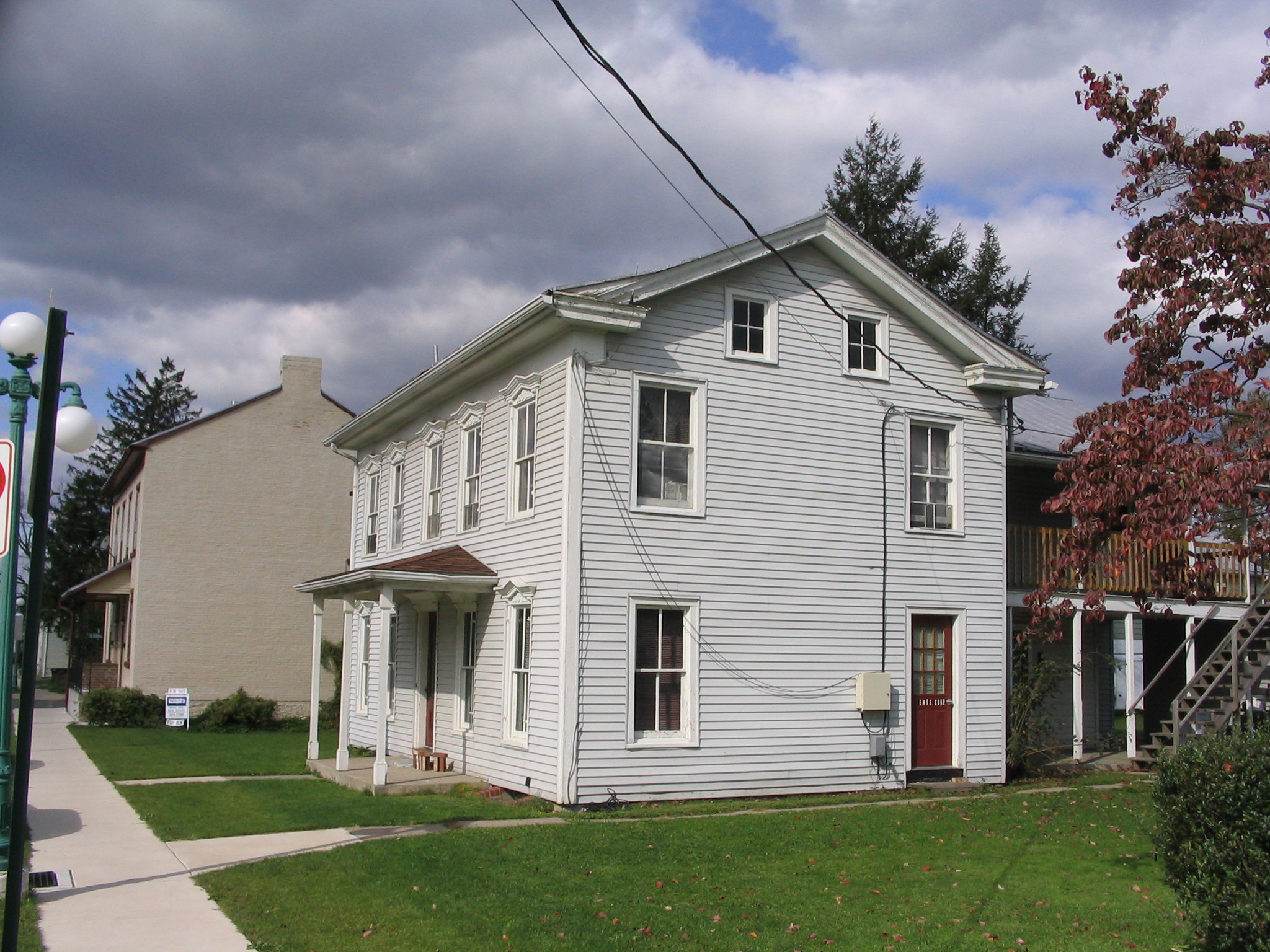
Elevation of 18 N Arch St, Milton, PA, USA
Location: United States > Pennsylvania > Northumberland County > Milton >
Longitude: -76.853312
Latitude: 41.0208691
Elevation: 142m / 466feet
Barometric Pressure: 100KPa
Elevation Map:
Satellite Map:
Related Photos:
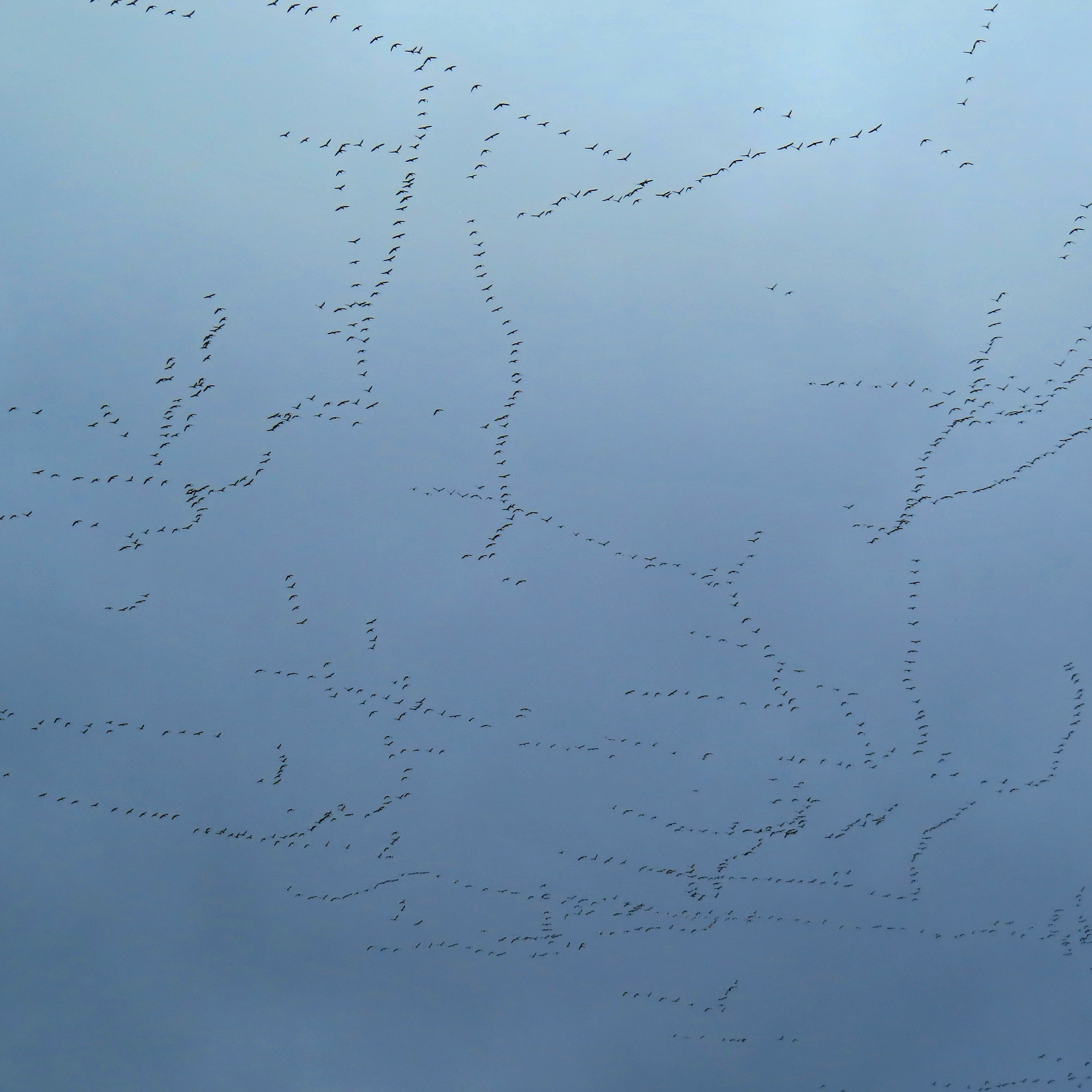
Sky patterns
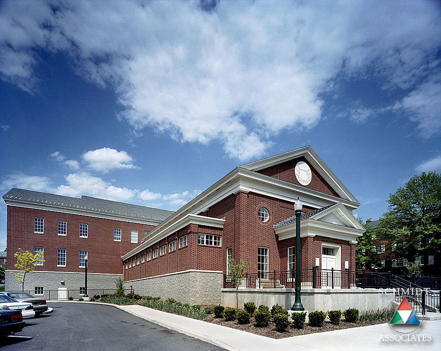
Southside View
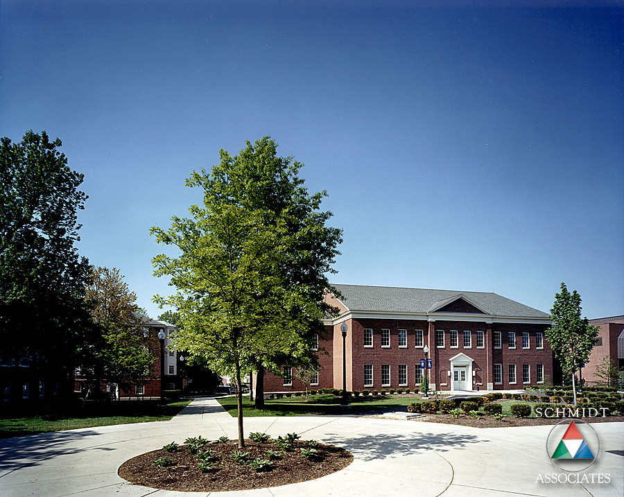
Northside View
DSCS701201.JPG

Beautiful luxuriant flower garden
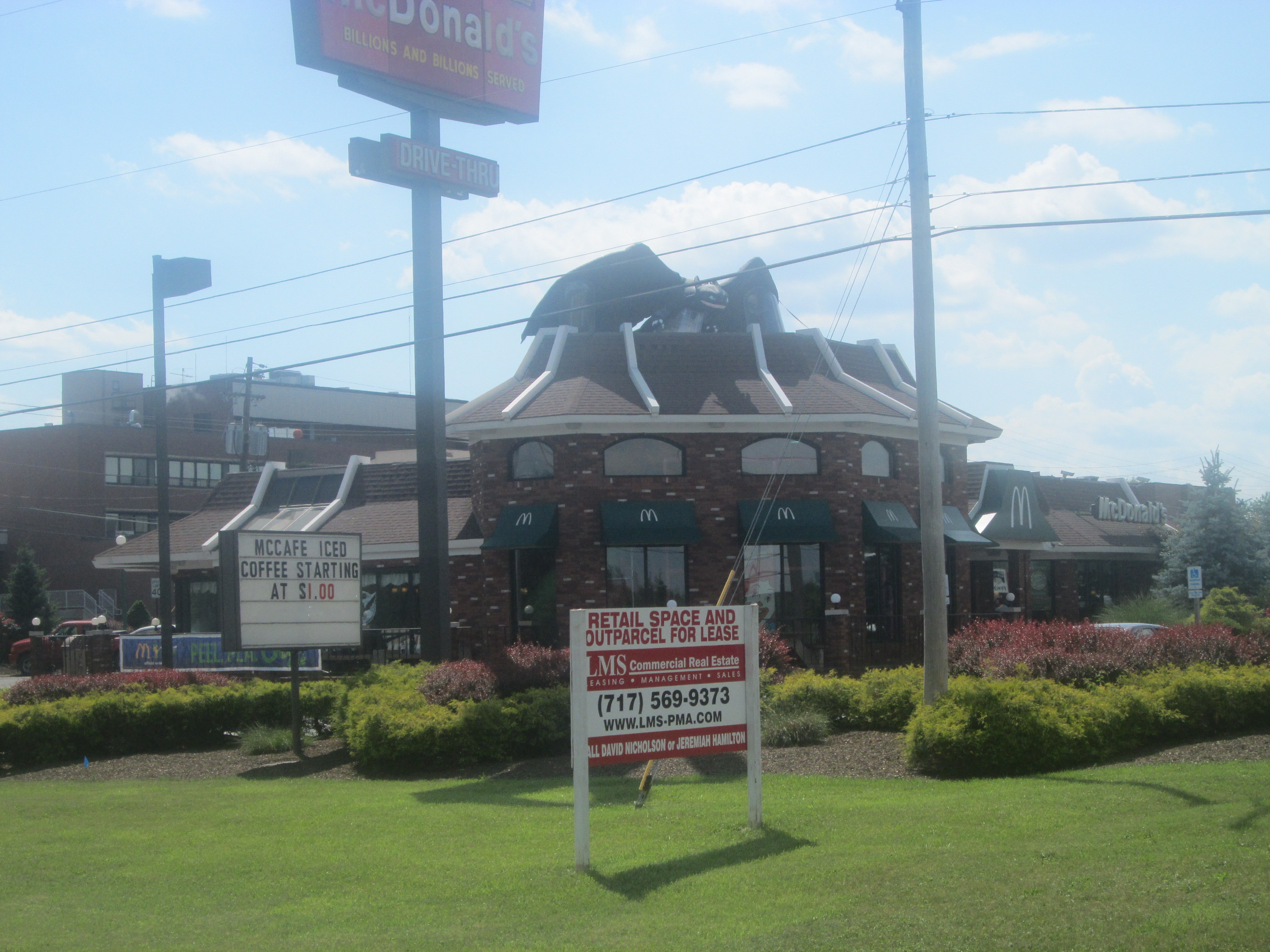
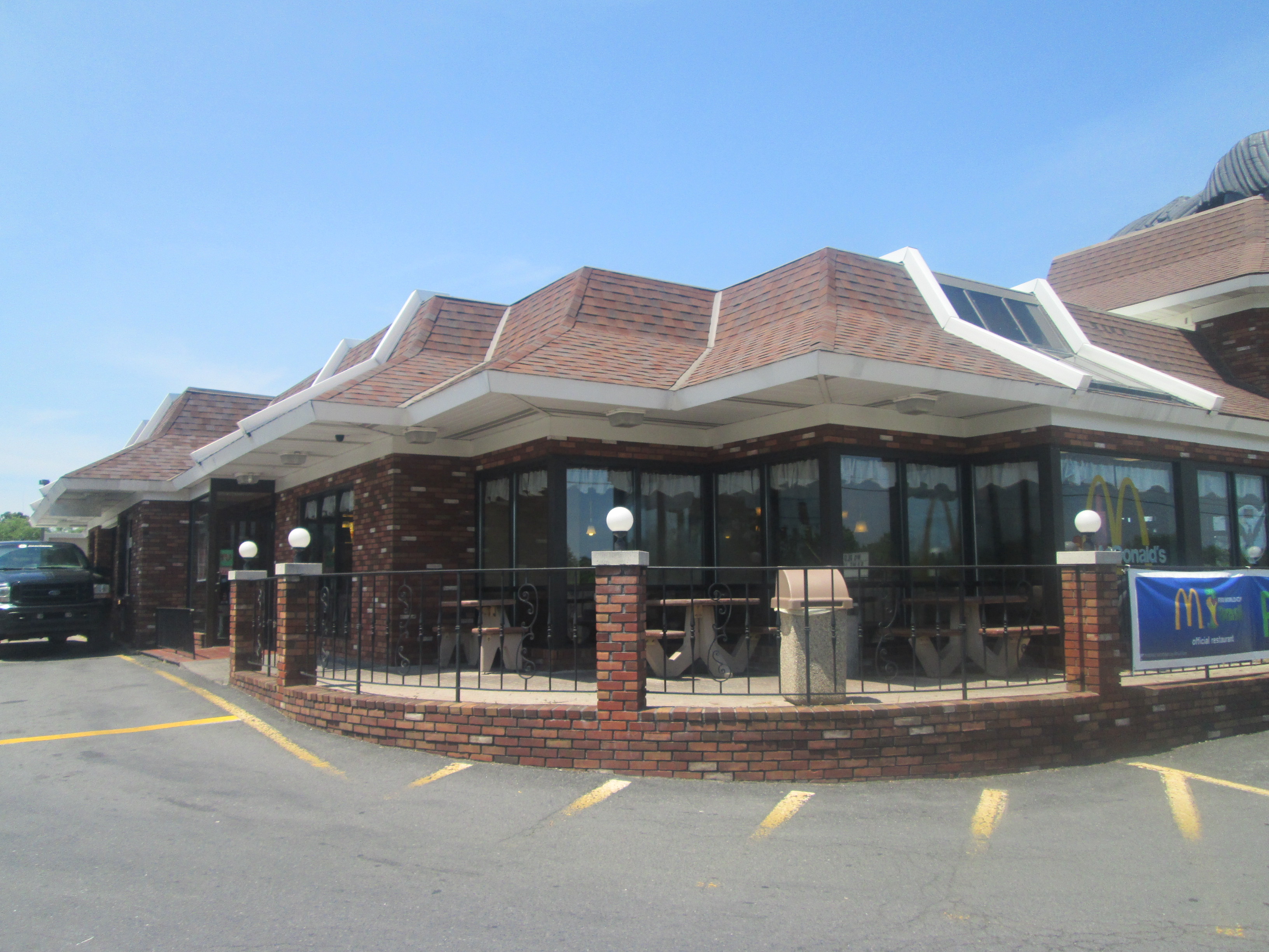
Lewisburg McDonald's (US 15 Road View)
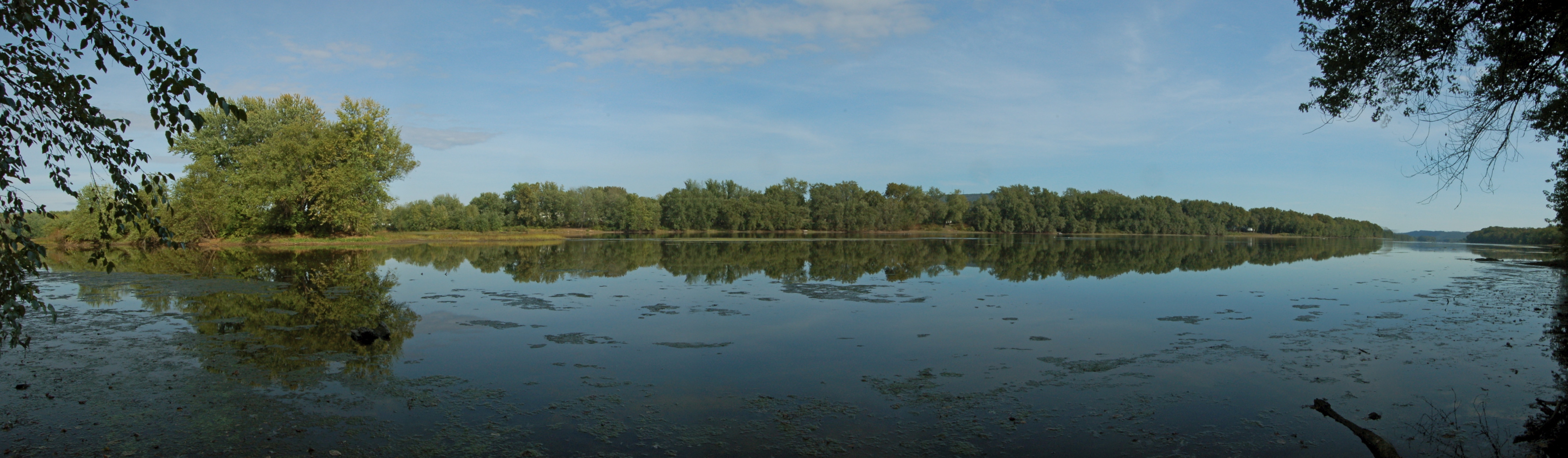
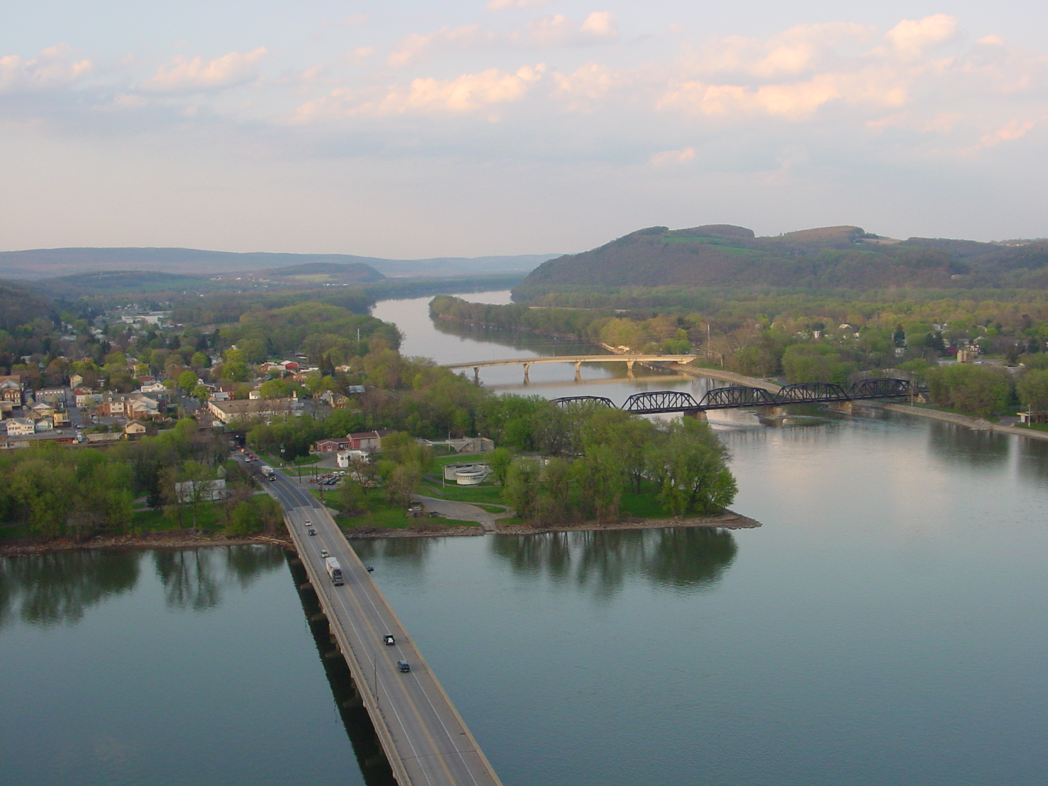
Susquehanna River near Lewisburg, PA
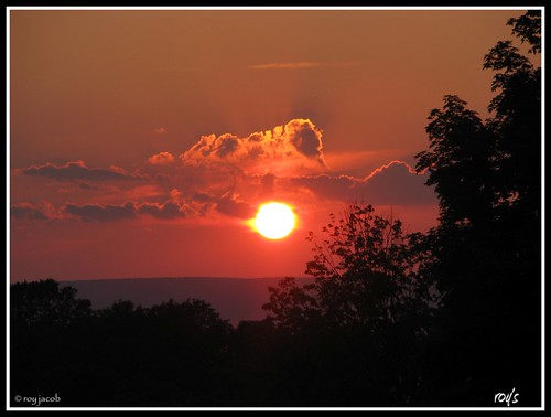
end of another day!!!
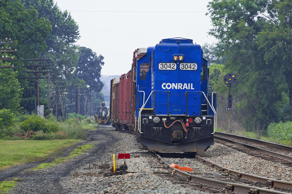
Watsontown Siding

Track Long View (8271_crop)
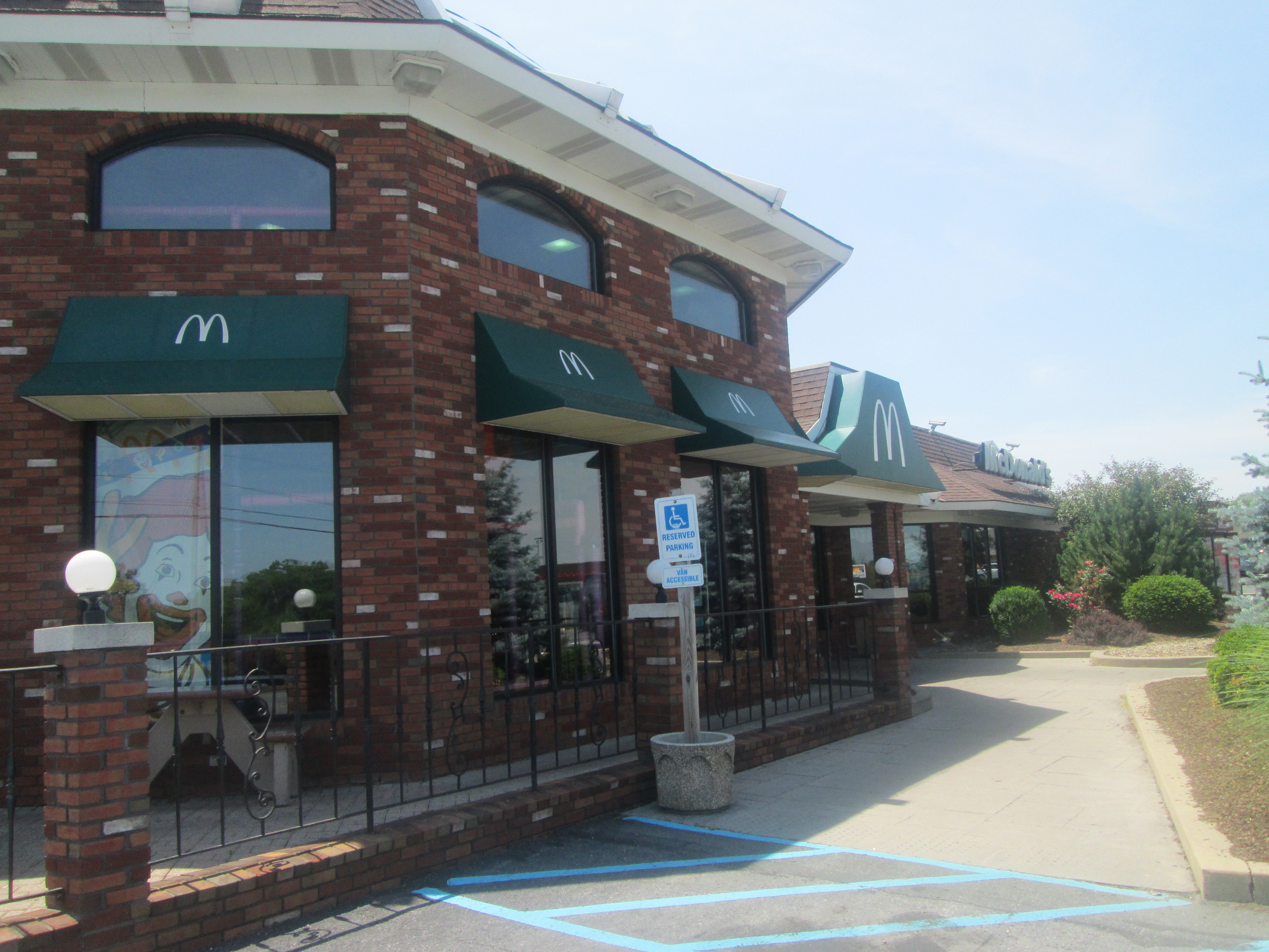
Exterior Side View
Exterior Back View
The Ridge
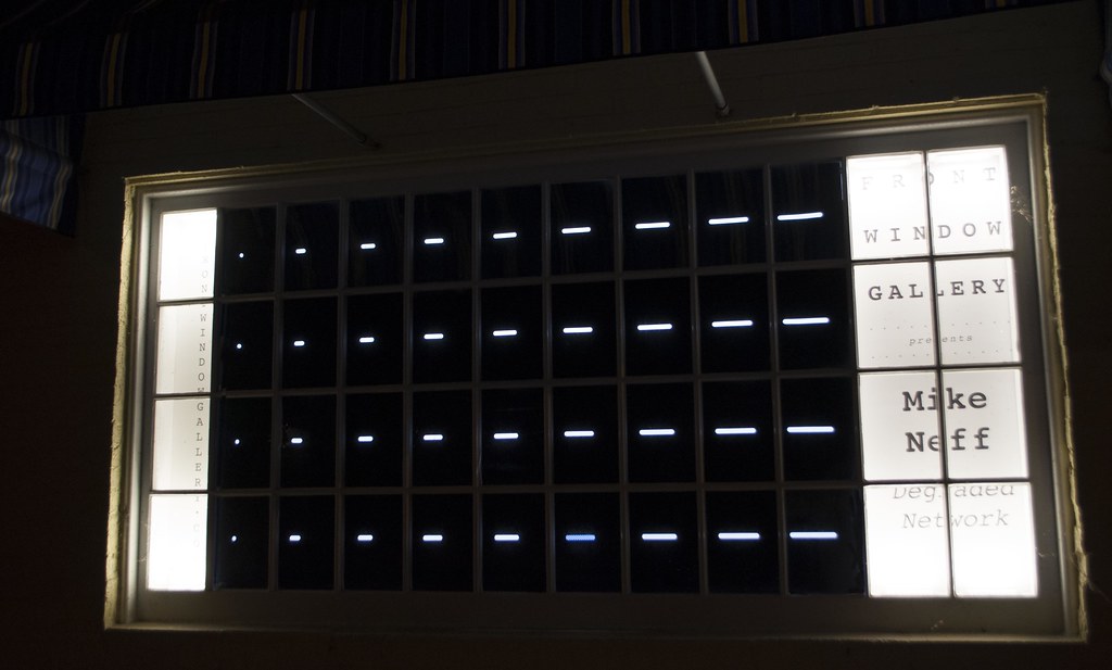
Michael Neff: Degraded Network. 2016
52 N 5th St

Michael Neff: Degraded Network. 2016
Michael Neff: Degraded Network. 2016
Michael Neff: Degraded Network. 2016
Michael Neff: Degraded Network. 2016
Michael Neff: Degraded Network. 2016
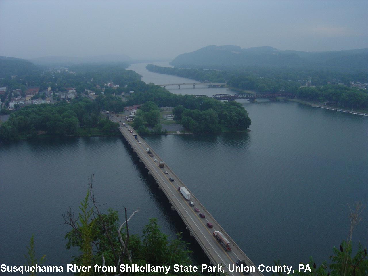
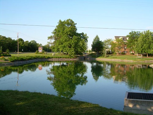
Susquehanna R- Shikellamy SP- Union Co PA
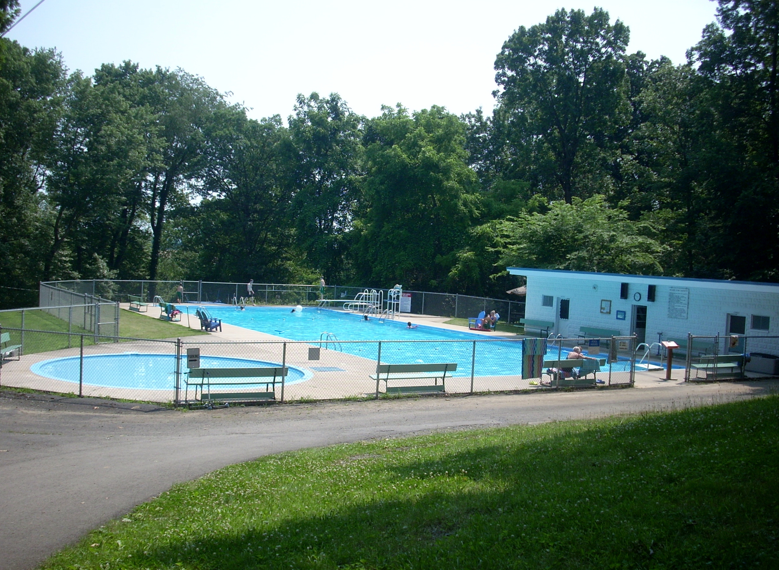
The Pool
Dale's Ridge Trail (2)

On the road to Bethlehem

Pennsylvania 08.17.08 15.26 DSC_3321
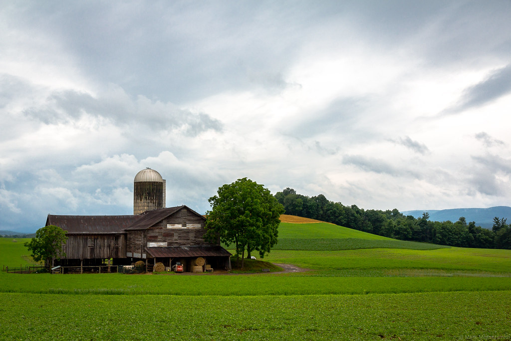
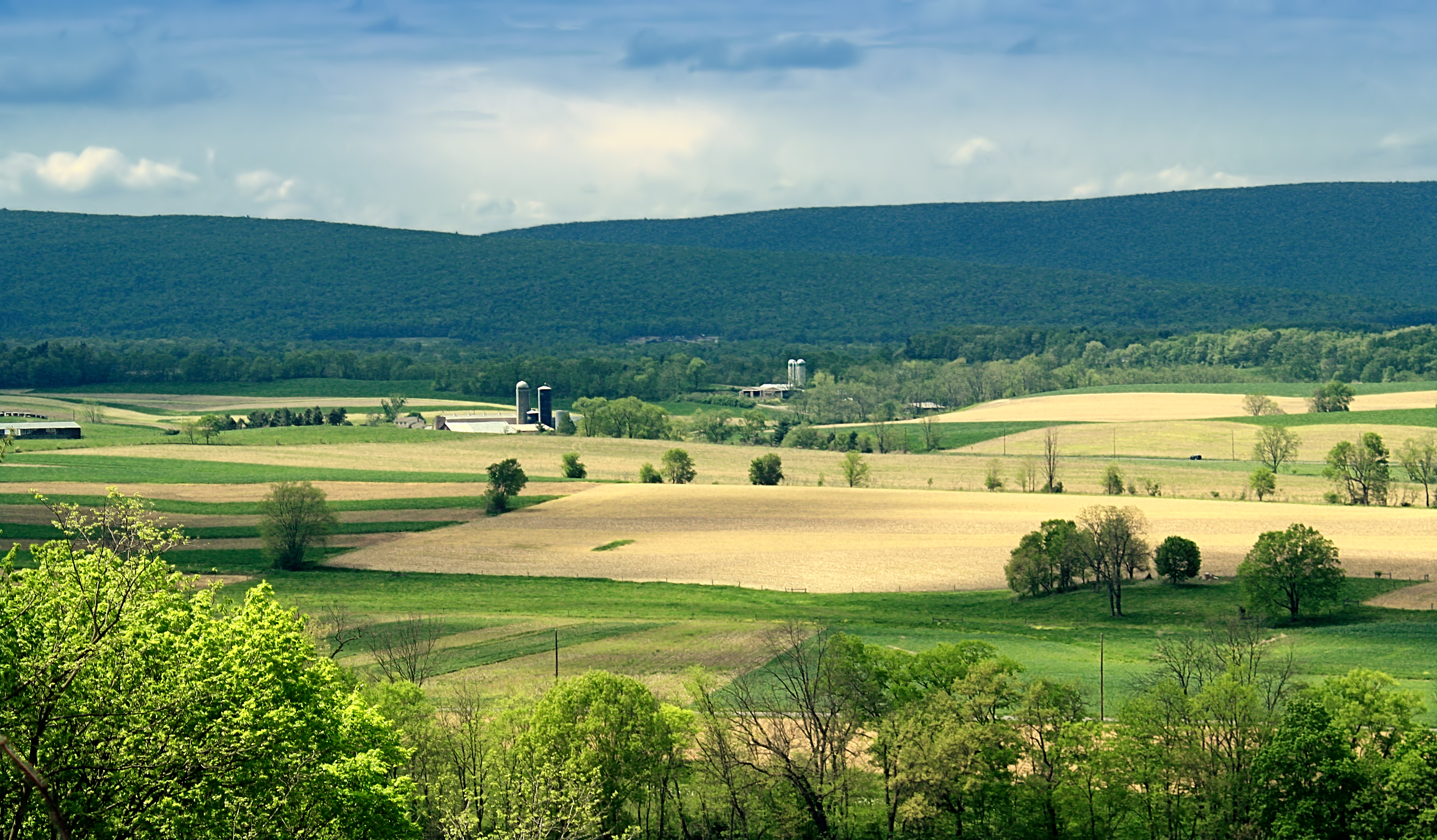
Barn and Fields, Union County, Pennsylvania, 2014

Camera Roll-139
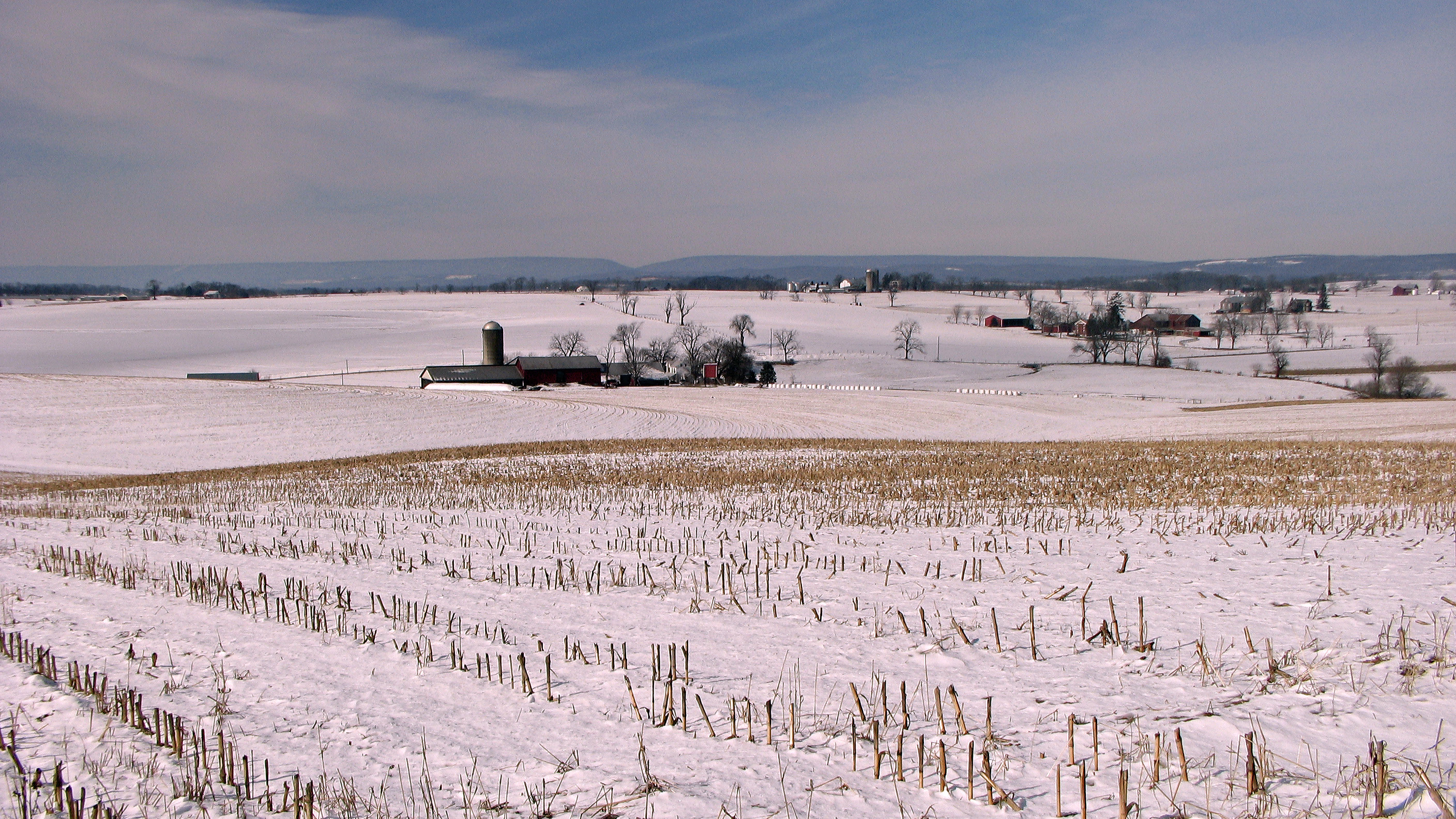
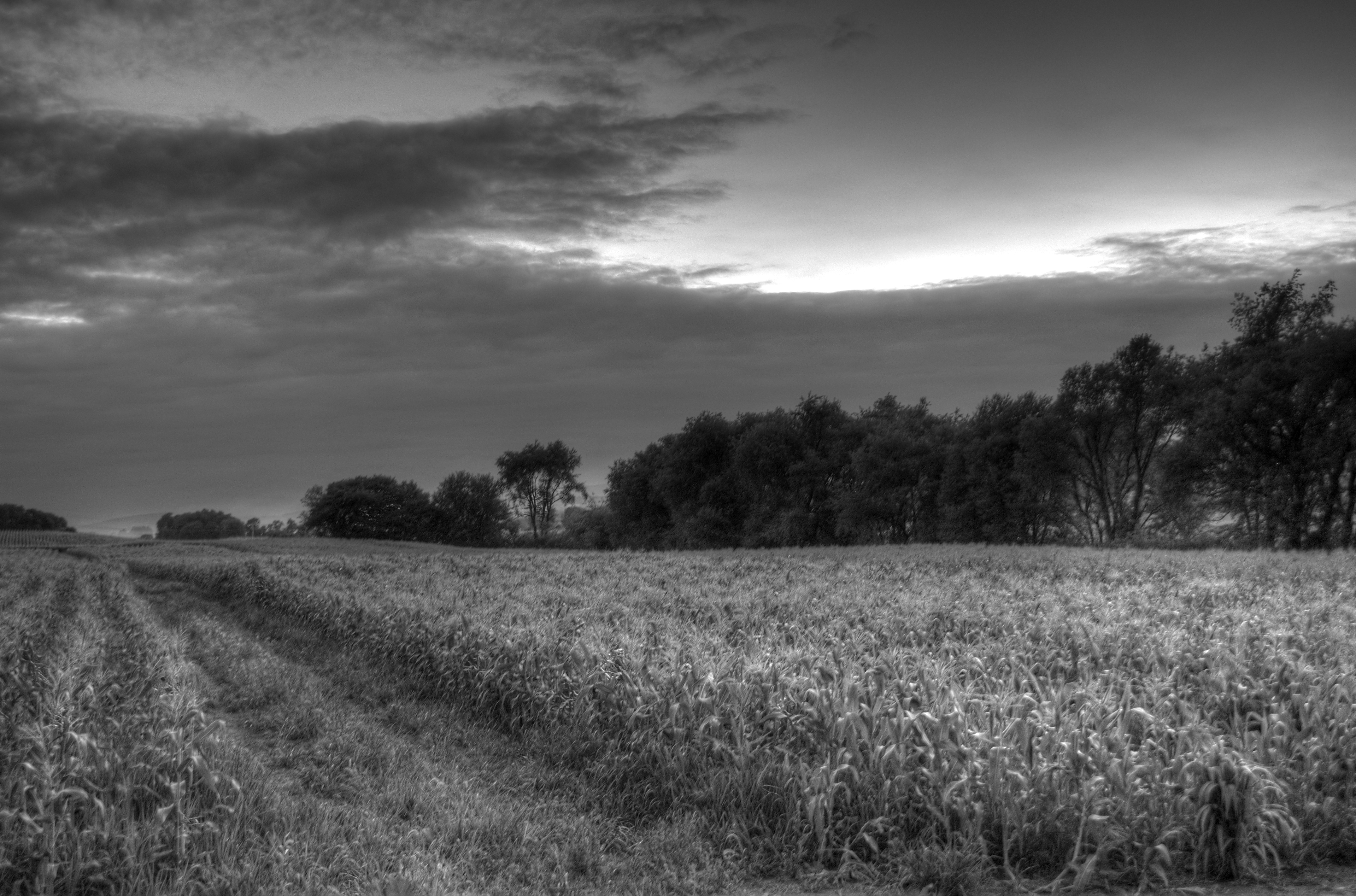
Winter fields and farms

There are Flowers In these Weeds
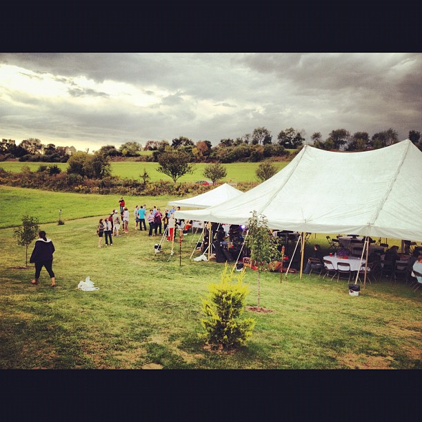
Party time #friends #weekend #fall #pennsyltucky

Sunshine after the rain
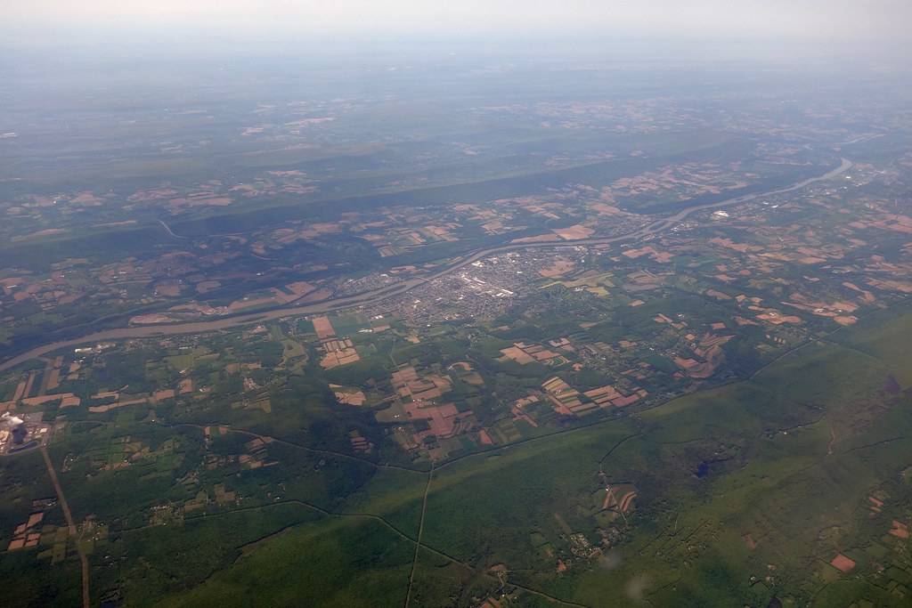
Aerial - USA (#09413)
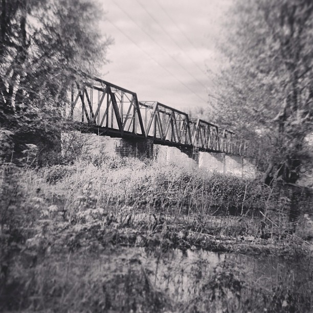
Exploring the creek. #landscape #lewisburg #bridge #country #decay #nature #water #creek #river

Bucknell University
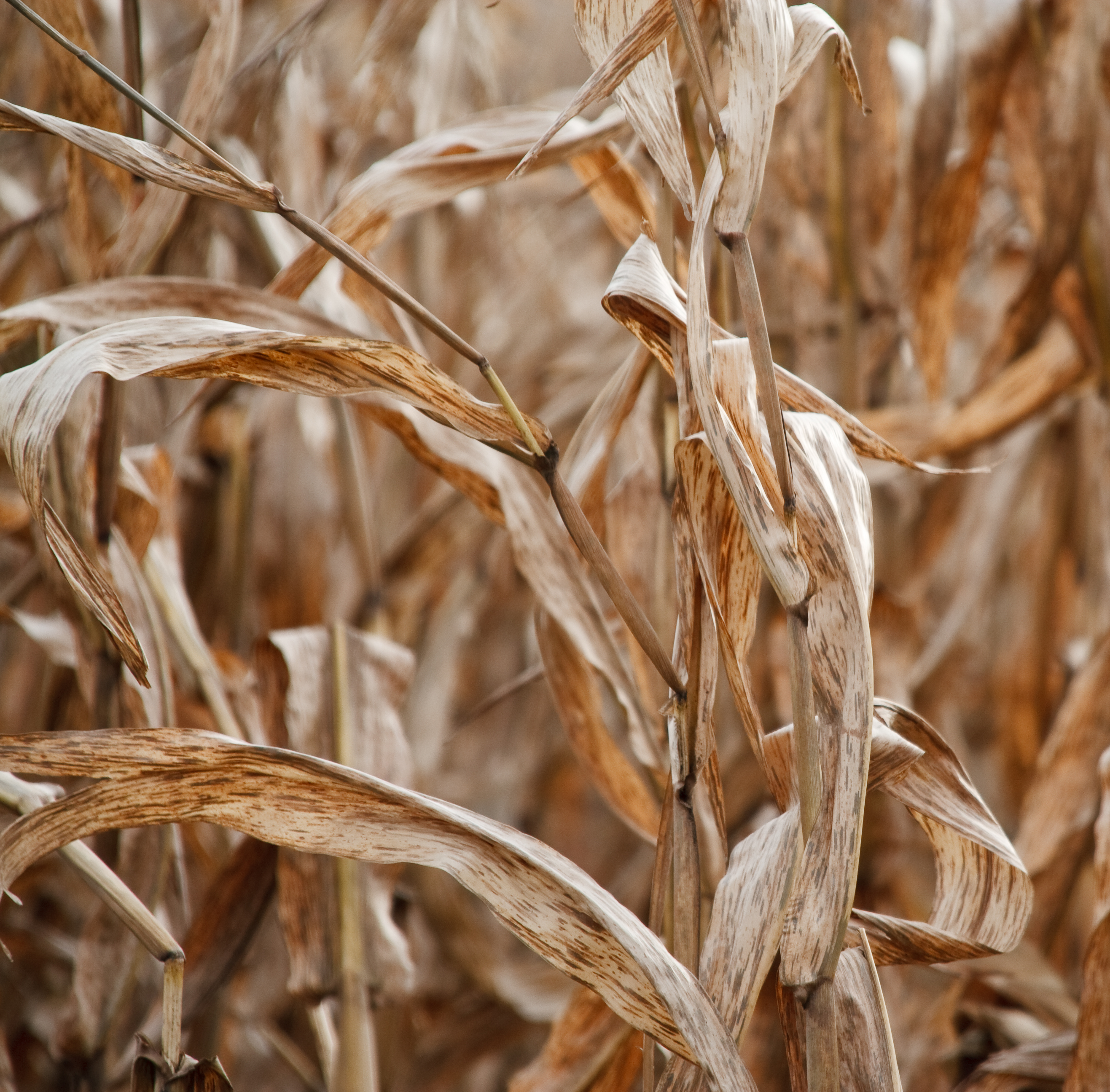
Dried corn in the field
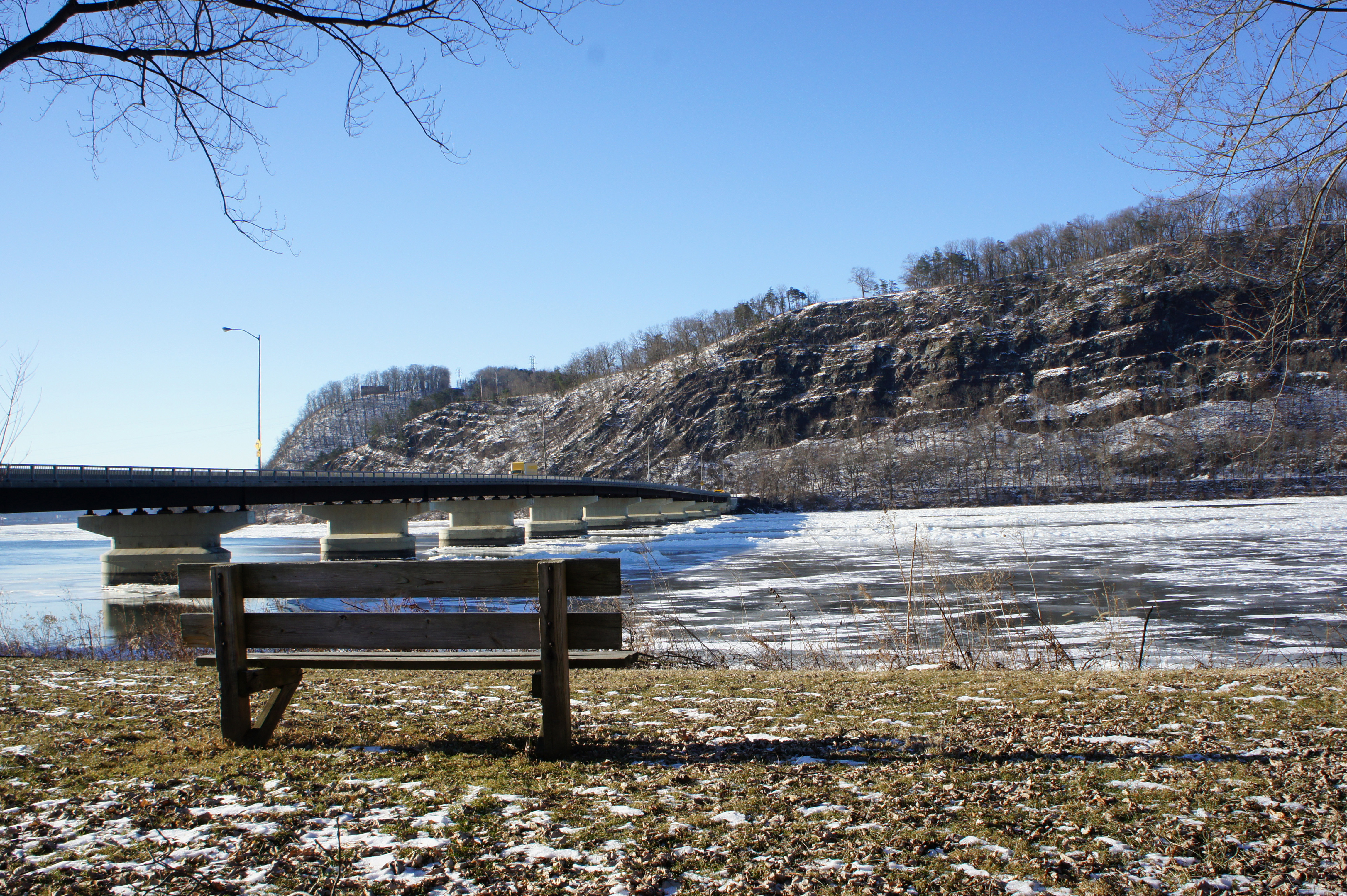
Susquehanna River 1
The Purple Cow
Susquehanna Valley Visitors Bureau
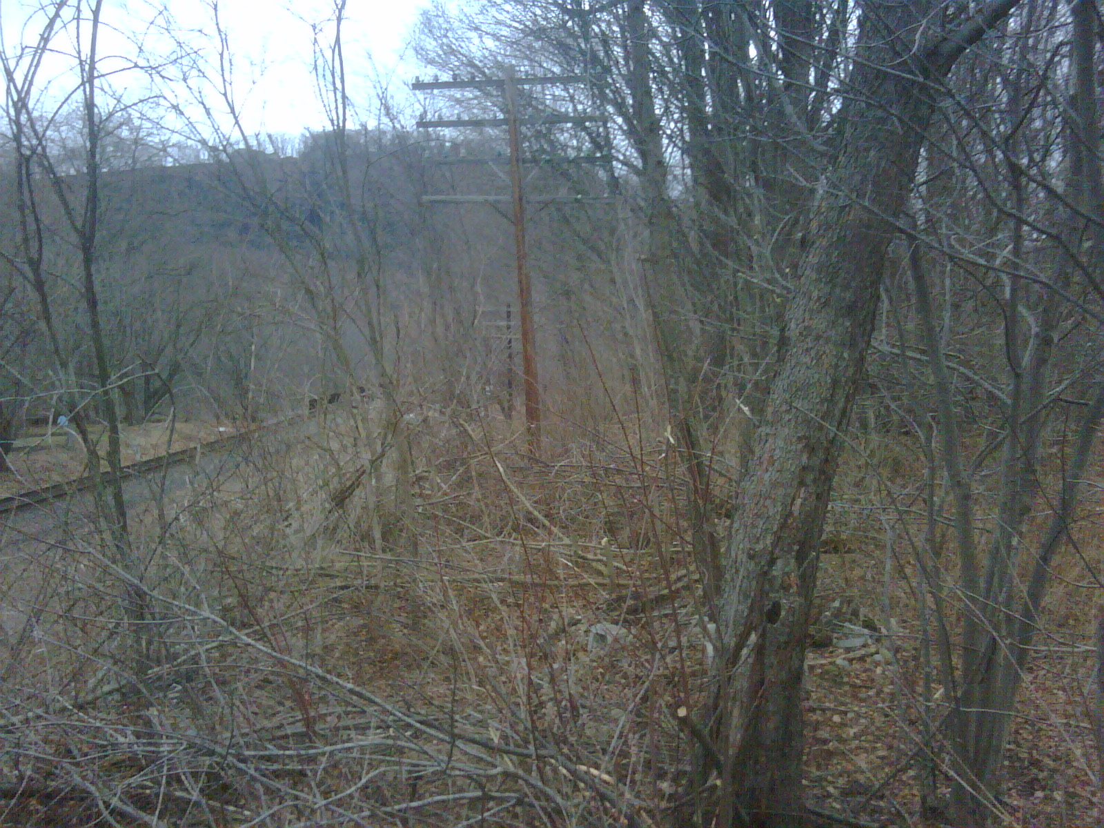
pole line south of 236 2
Happy as a Pig
Topographic Map of 18 N Arch St, Milton, PA, USA
Find elevation by address:

Places near 18 N Arch St, Milton, PA, USA:
Milton
West Milton
High St, West Milton, PA, USA
New Columbia
160 Commerce Park Dr
2375 Crossroads Dr
PA-45, Milton, PA, USA
White Deer Pike, New Columbia, PA, USA
Street Of Shops Restaurant
100 N Water St
29 St Mary St
38 N 2nd St
184 E 1st St
Lewisburg
414 Elm St
Watsontown
136 N 4th St
621 Elm St
East Chillisquaque Township
Silvertip Inc
Recent Searches:
- Elevation of Corso Fratelli Cairoli, 35, Macerata MC, Italy
- Elevation of Tallevast Rd, Sarasota, FL, USA
- Elevation of 4th St E, Sonoma, CA, USA
- Elevation of Black Hollow Rd, Pennsdale, PA, USA
- Elevation of Oakland Ave, Williamsport, PA, USA
- Elevation of Pedrógão Grande, Portugal
- Elevation of Klee Dr, Martinsburg, WV, USA
- Elevation of Via Roma, Pieranica CR, Italy
- Elevation of Tavkvetili Mountain, Georgia
- Elevation of Hartfords Bluff Cir, Mt Pleasant, SC, USA