Elevation of Elm St, Watsontown, PA, USA
Location: United States > Pennsylvania > Northumberland County >
Longitude: -76.867299
Latitude: 41.086151
Elevation: 146m / 479feet
Barometric Pressure: 100KPa
Elevation Map:
Satellite Map:
Related Photos:
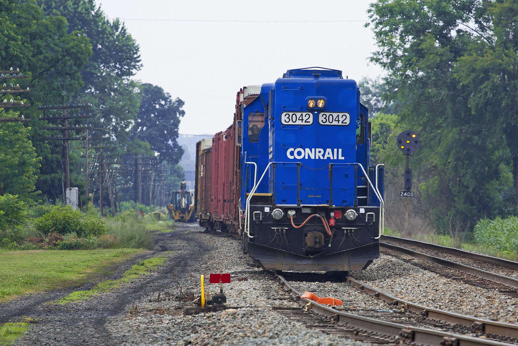
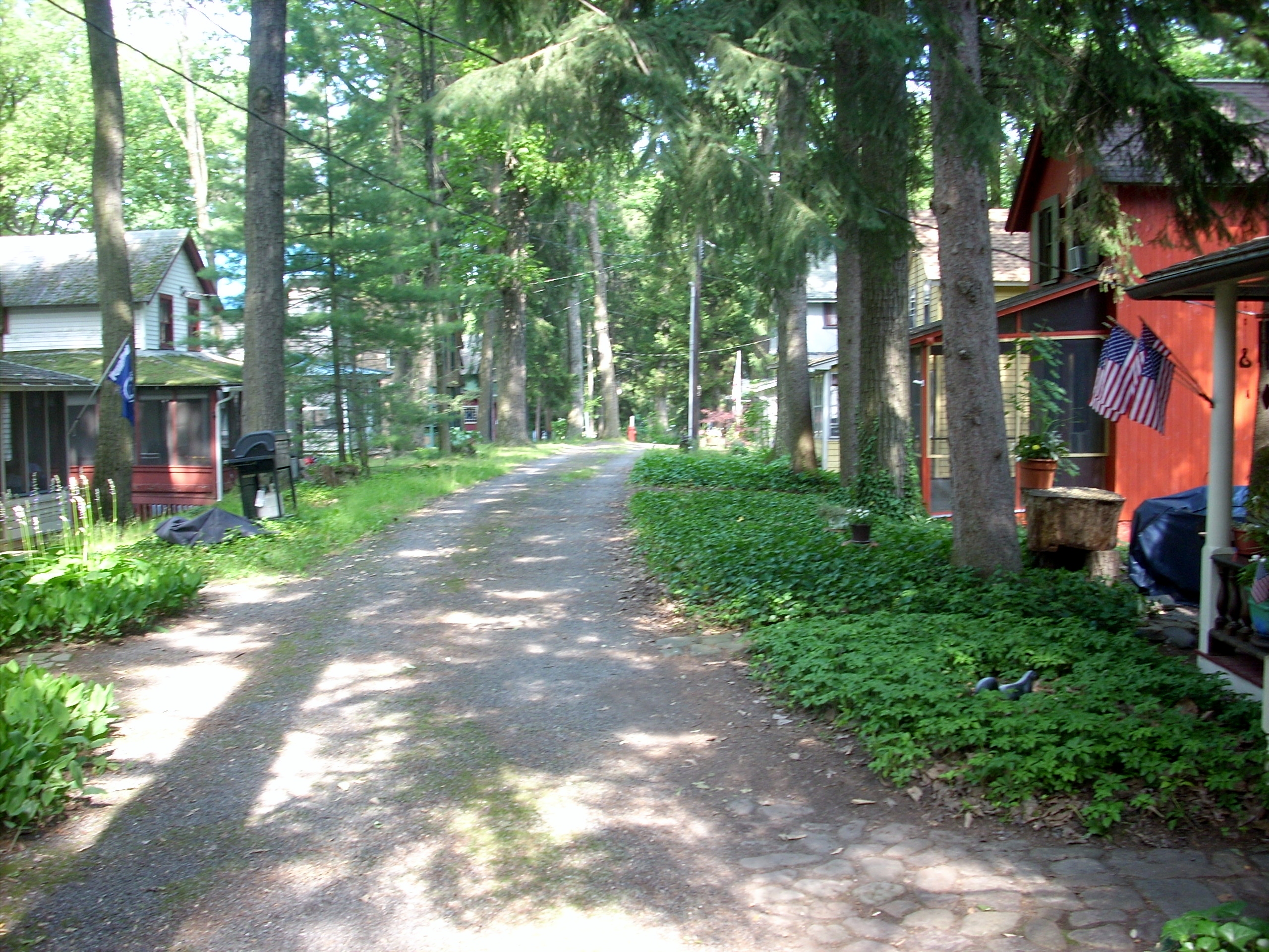
Watsontown Siding
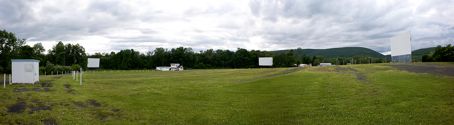
Pike Drive-In - Three Screens Panoramic Shot
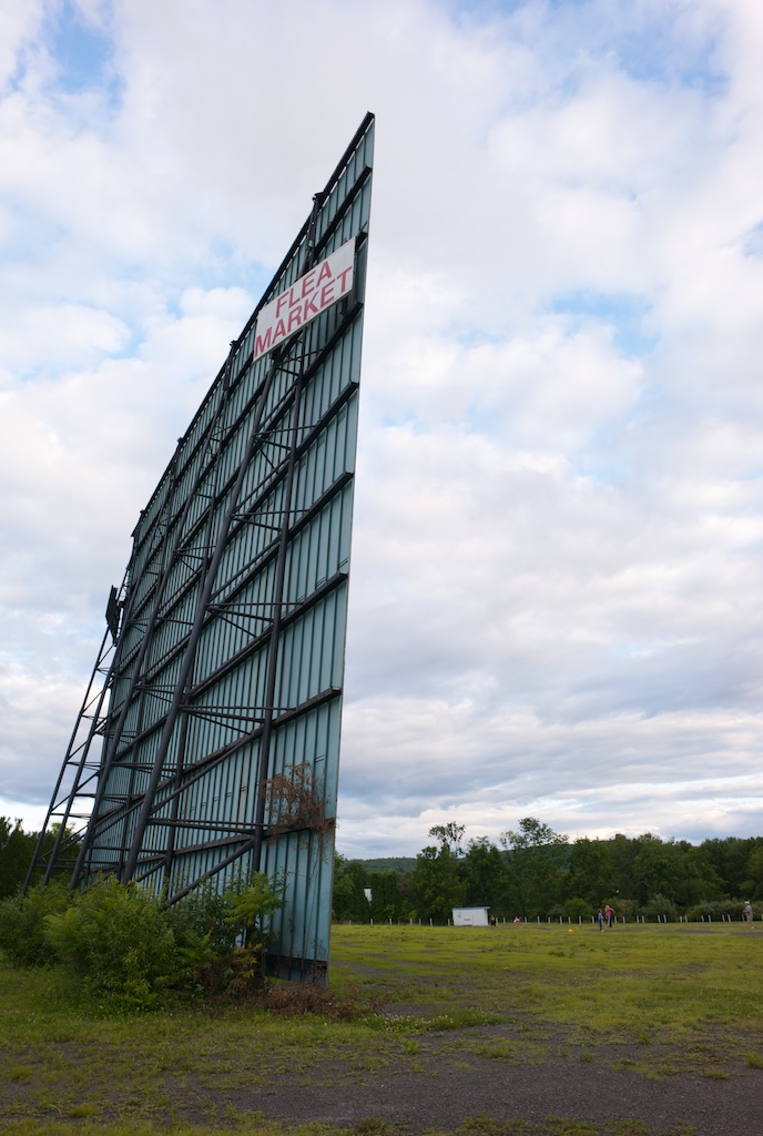
Pike Drive-In - Epic II
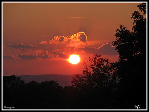
end of another day!!!
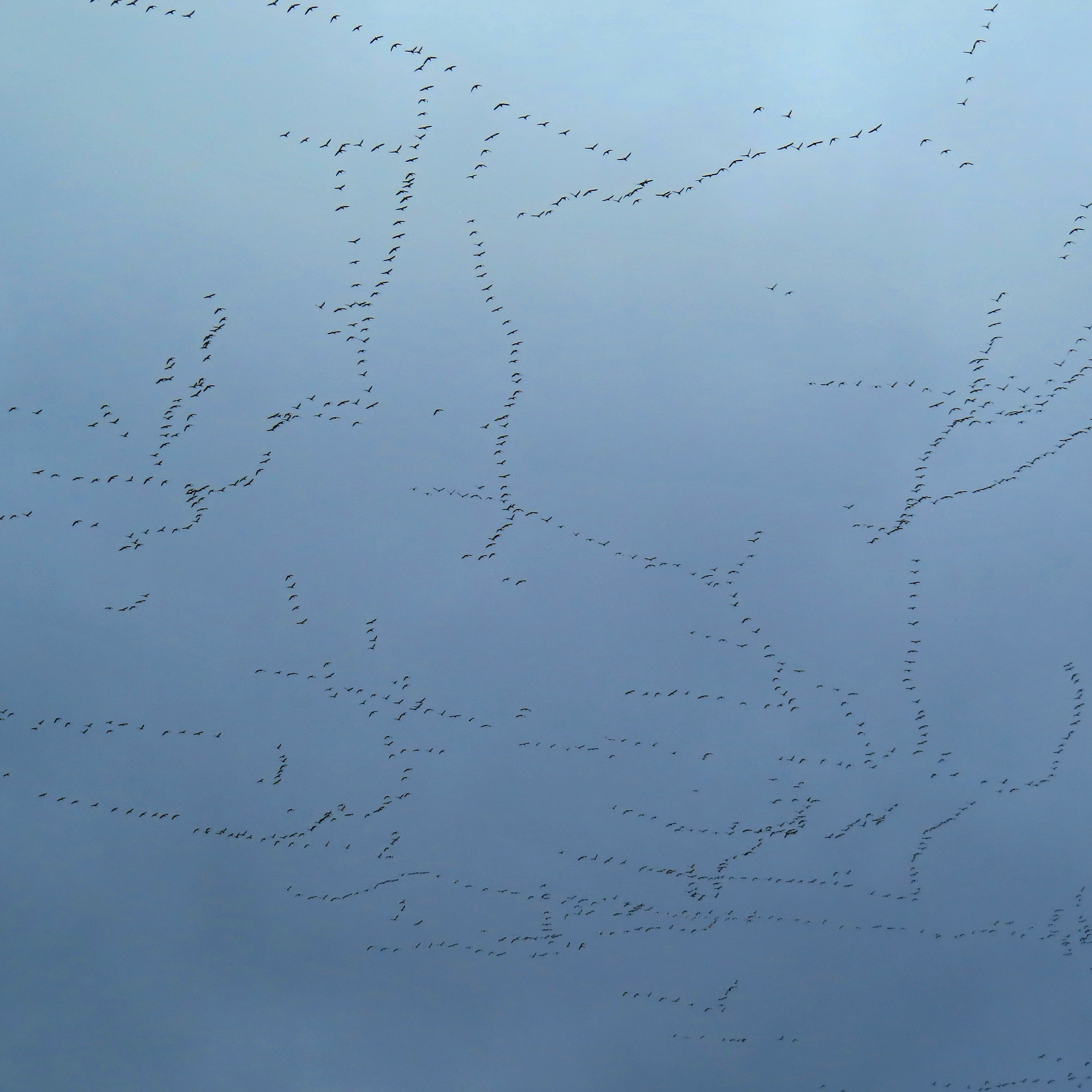
Sky patterns

Track Long View (8271_crop)
Southside View
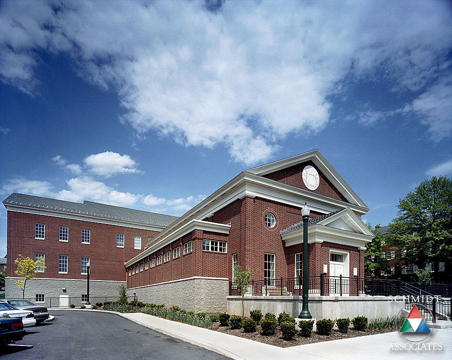
Exterior Side View
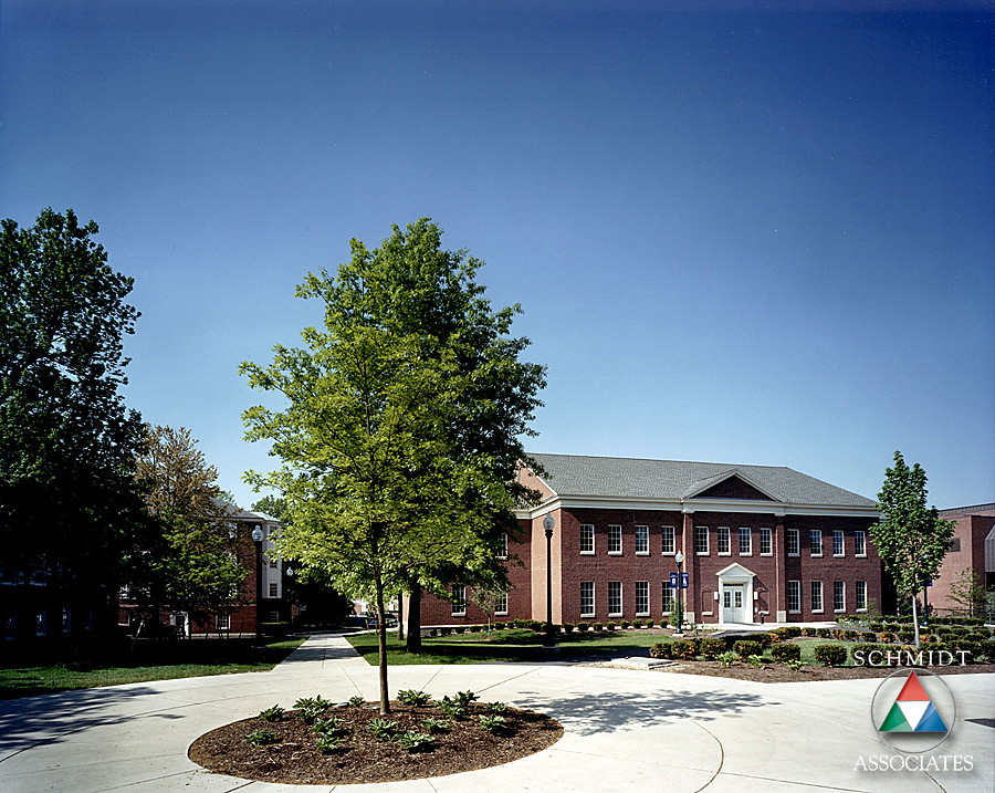
Exterior Back View
The Ridge
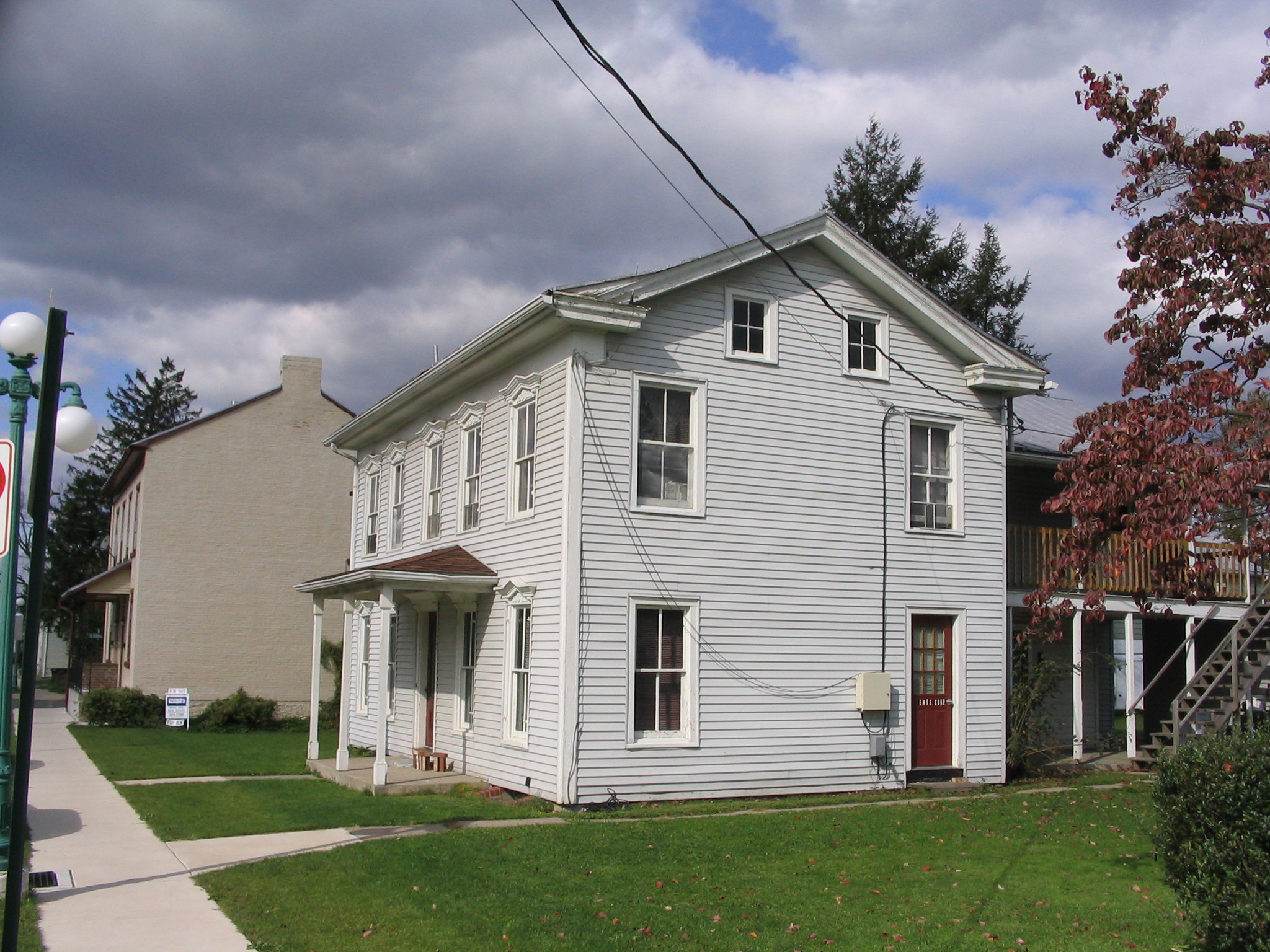
52 N 5th St

Michael Neff: Degraded Network. 2016

Michael Neff: Degraded Network. 2016

Beautiful luxuriant flower garden
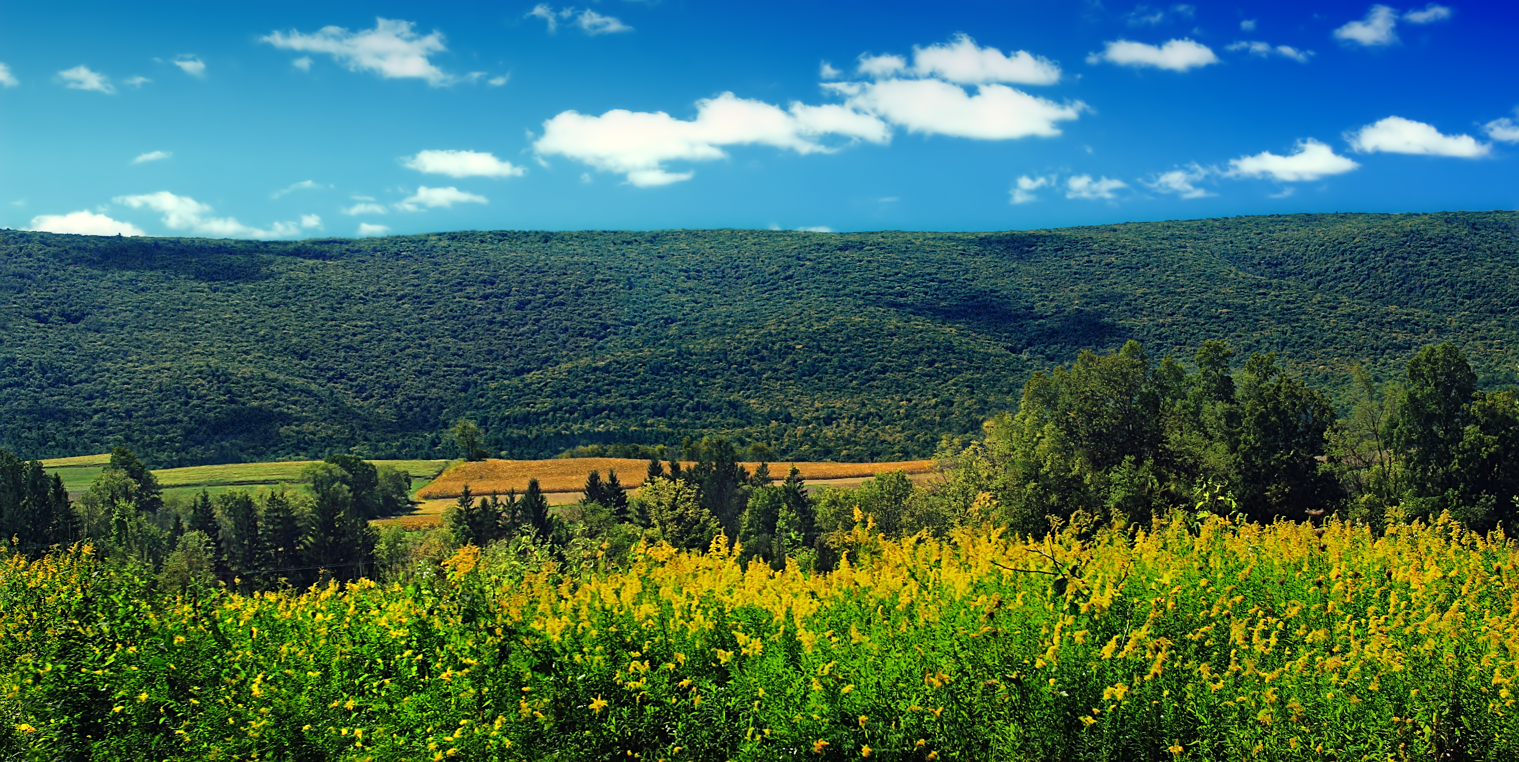
South White Deer Ridge
Michael Neff: Degraded Network. 2016

Michael Neff: Degraded Network. 2016
Michael Neff: Degraded Network. 2016
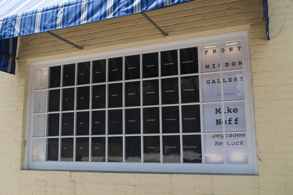
Michael Neff: Degraded Network. 2016
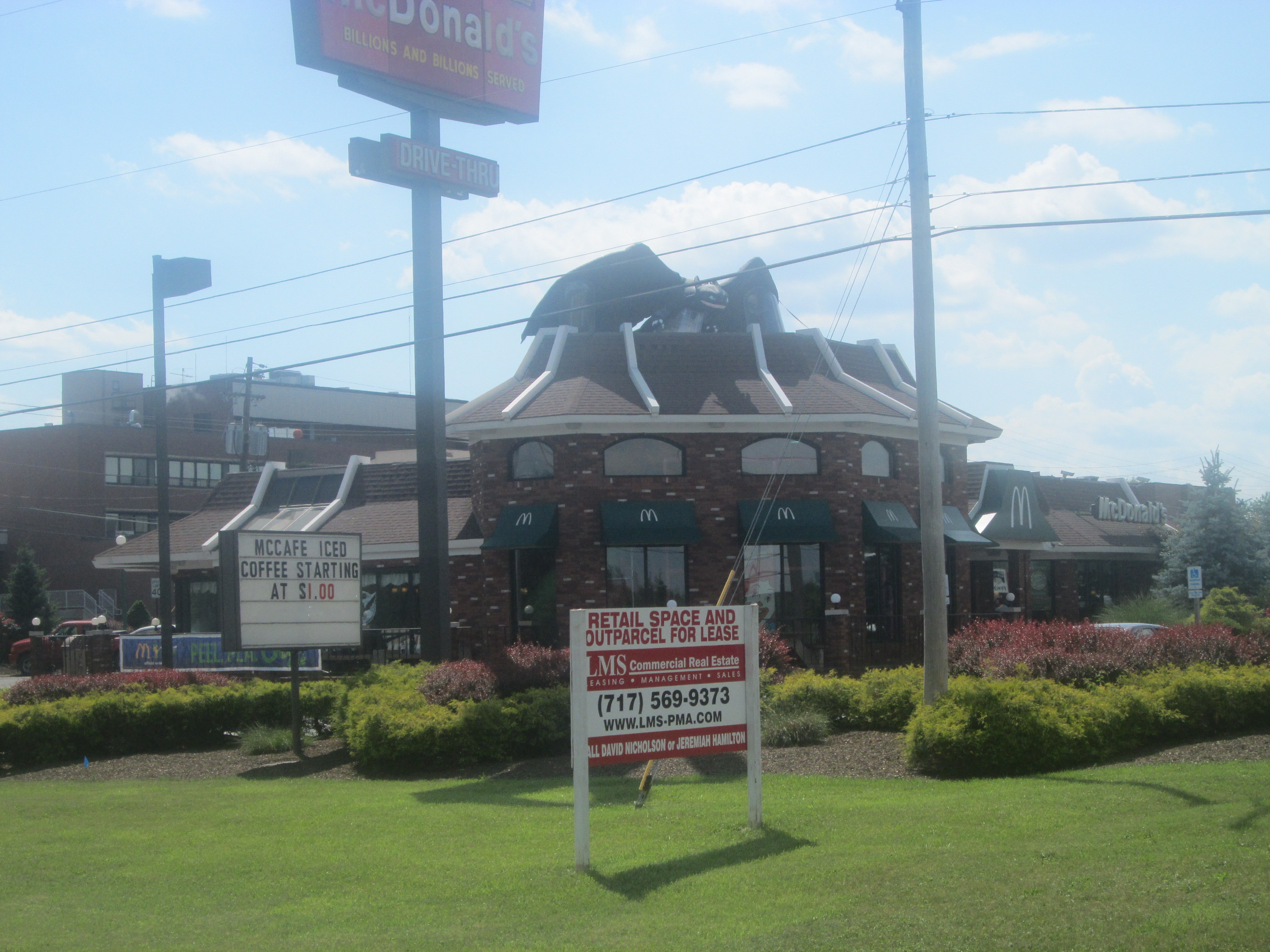
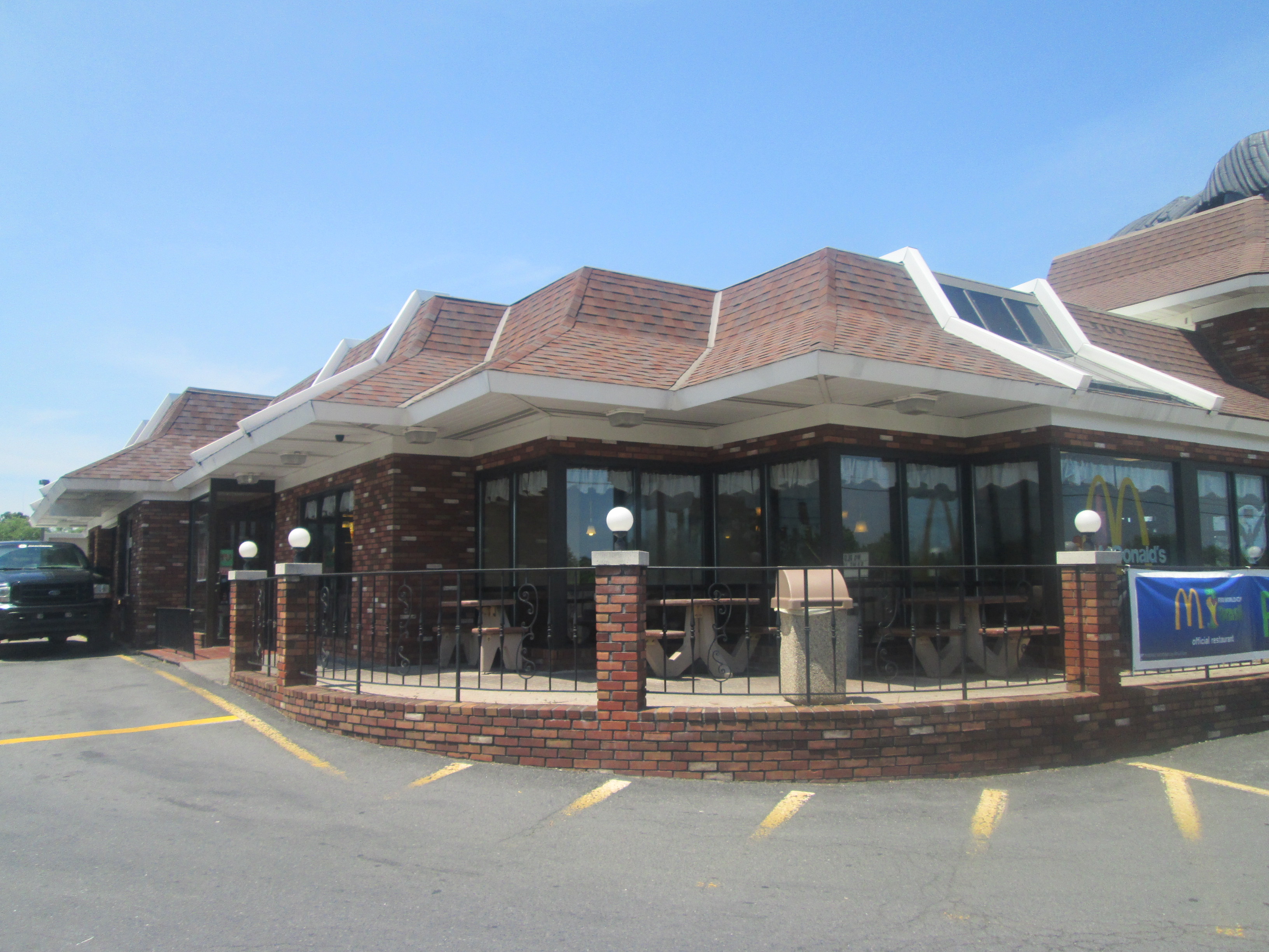
Lewisburg McDonald's (US 15 Road View)
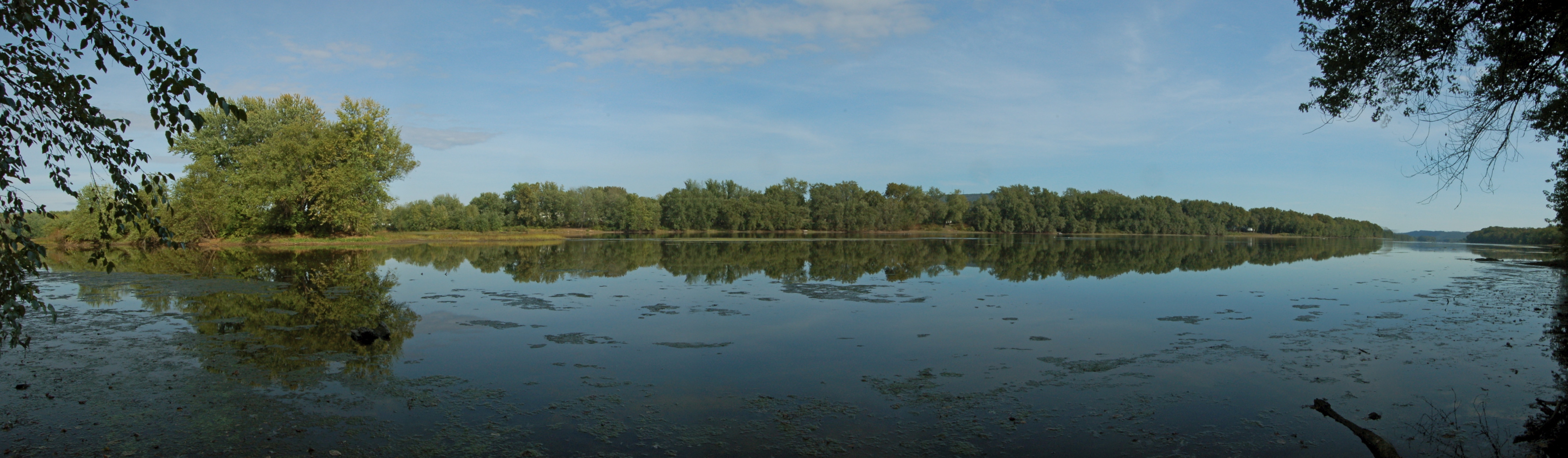
Susquehanna River near Lewisburg, PA

On the road to Bethlehem
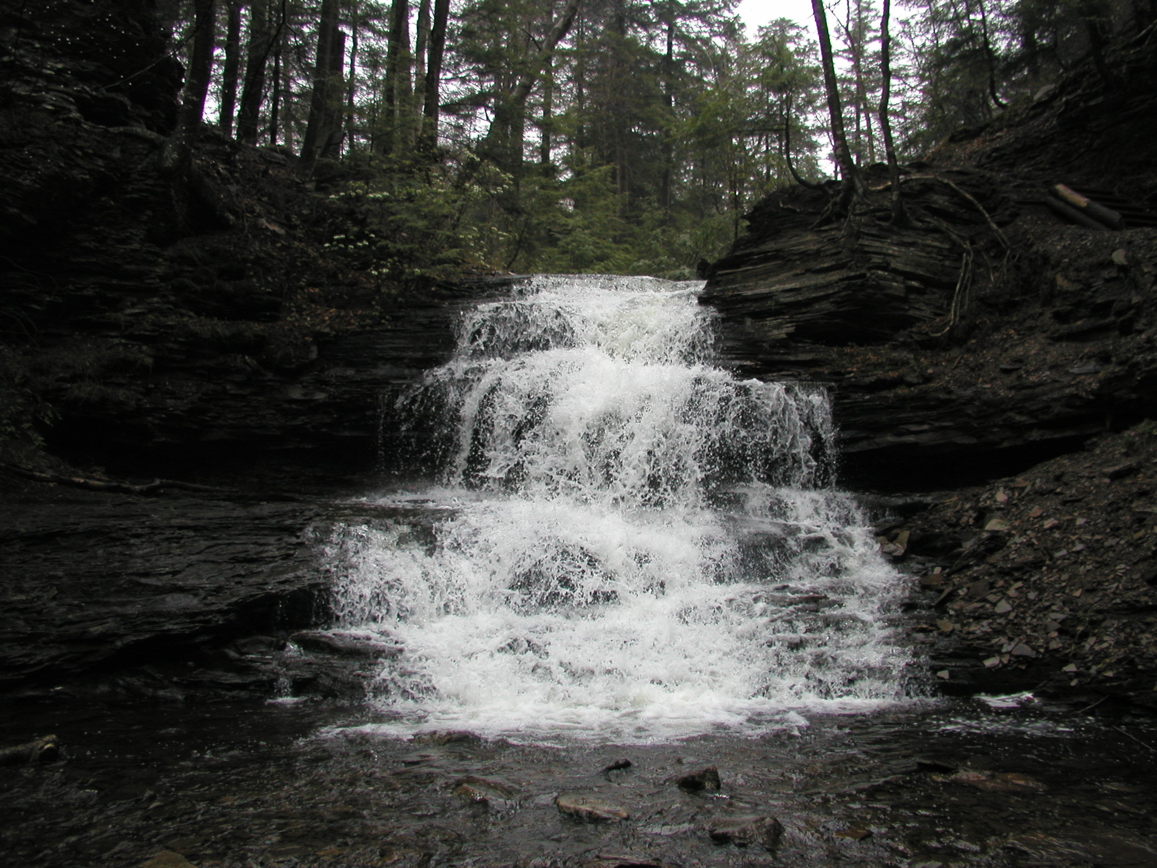
Dale's Ridge Trail (2)
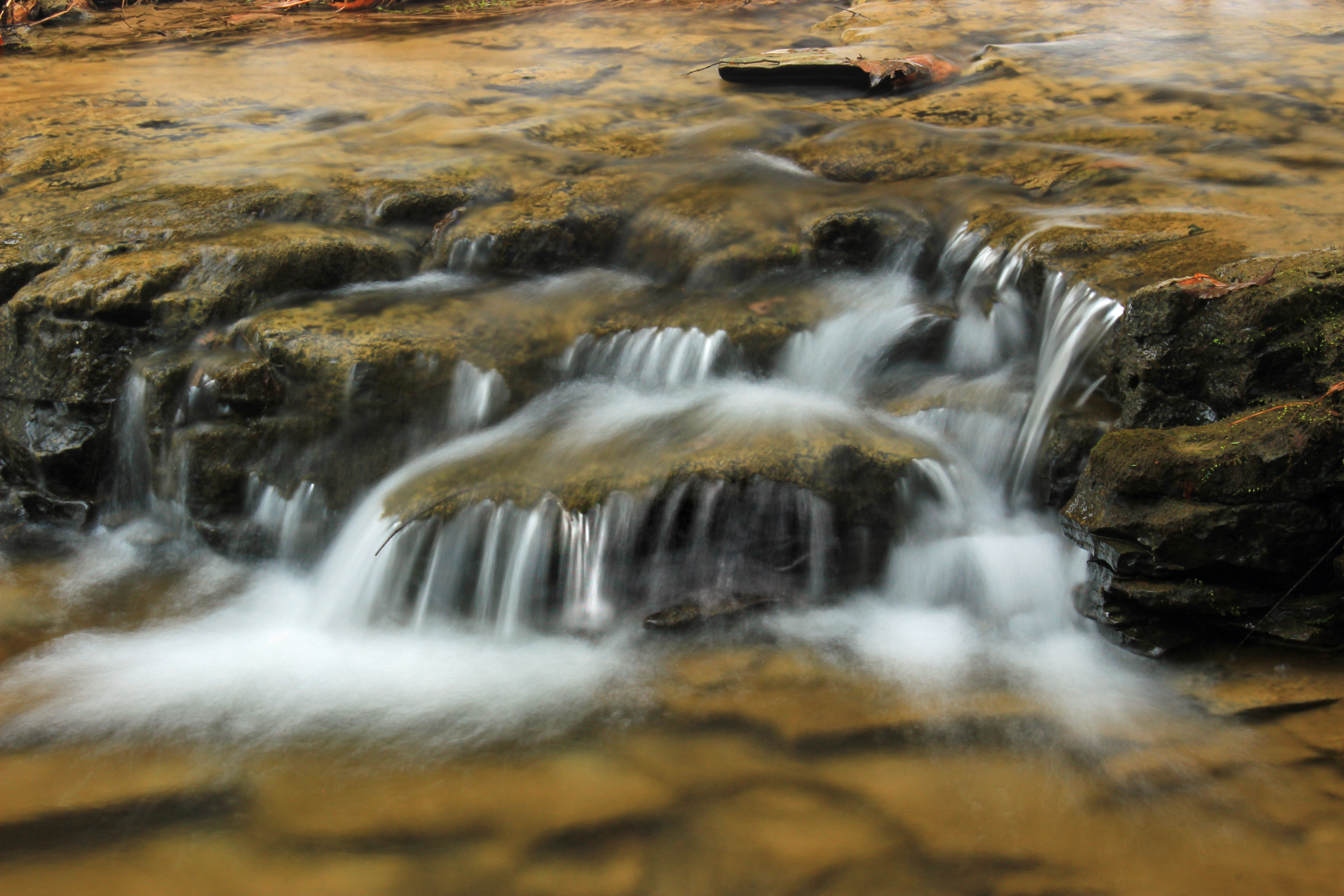
Glade Run (1)

Pennsylvania 08.17.08 15.26 DSC_3321

Wheaties. Unfiltered.
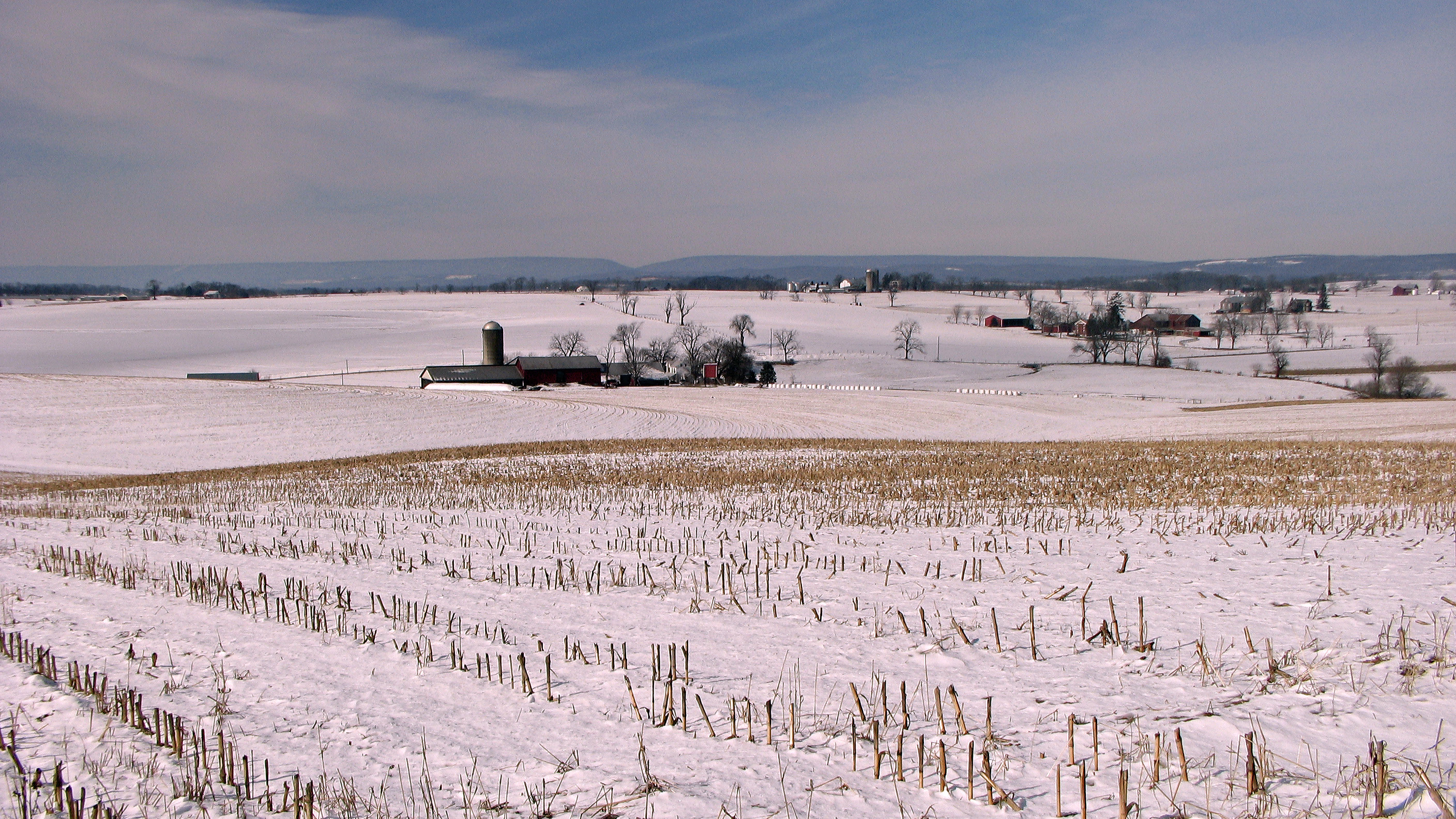
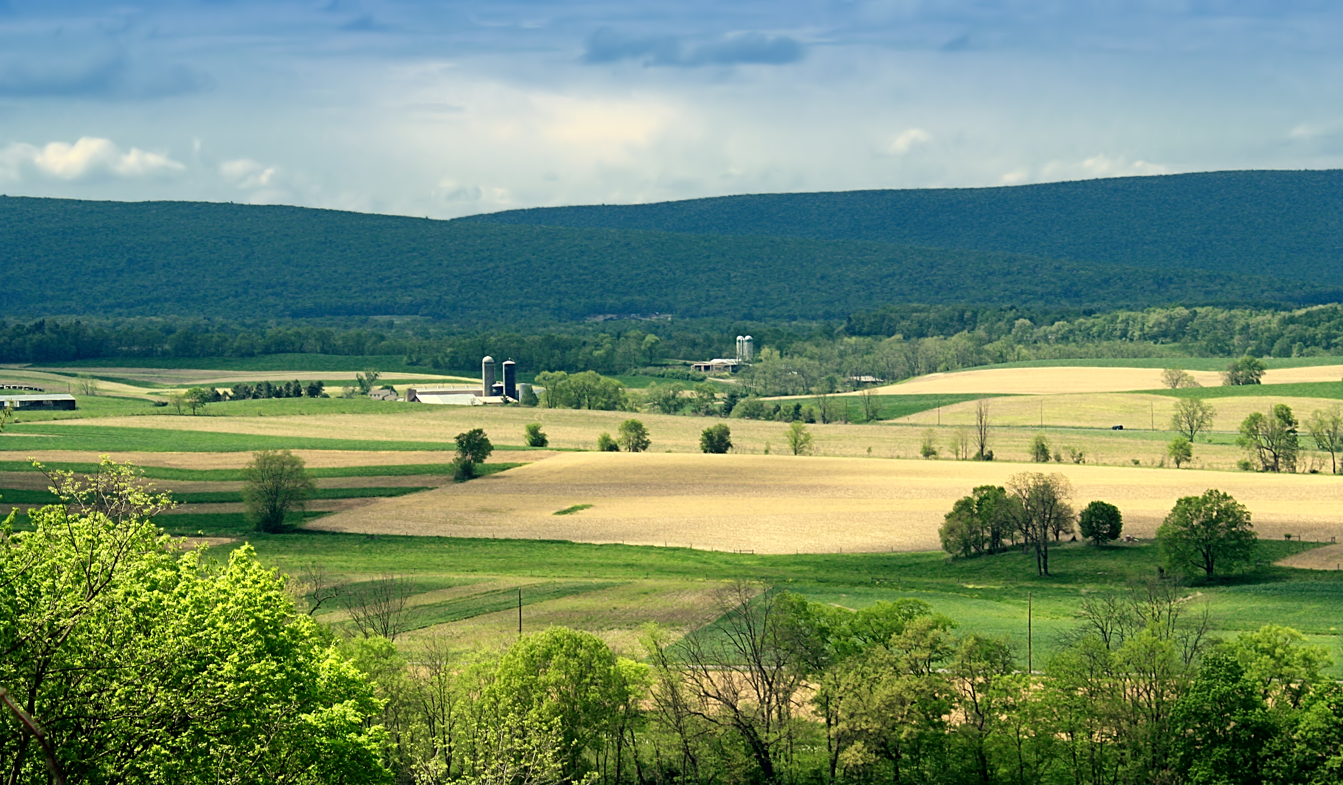
Winter fields and farms

There are Flowers In these Weeds

Camera Roll-139

Sunshine after the rain
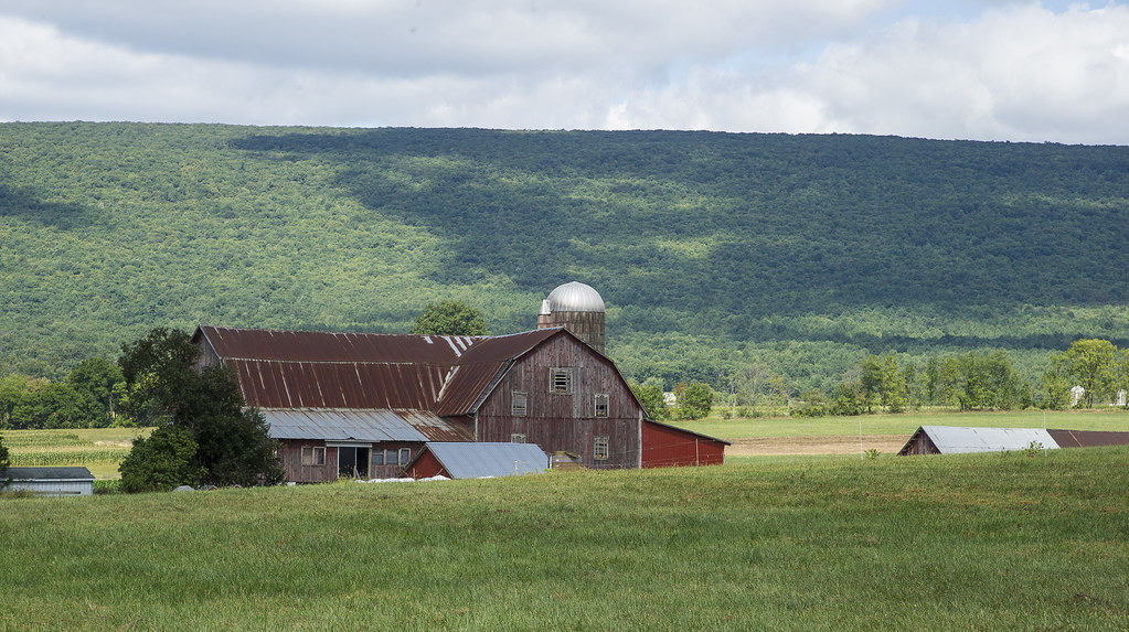
Elimsport, PA farm....

Bucknell University
Susquehanna River Valley
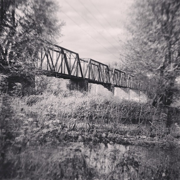
Exploring the creek. #landscape #lewisburg #bridge #country #decay #nature #water #creek #river
Susquehanna Valley Visitors Bureau
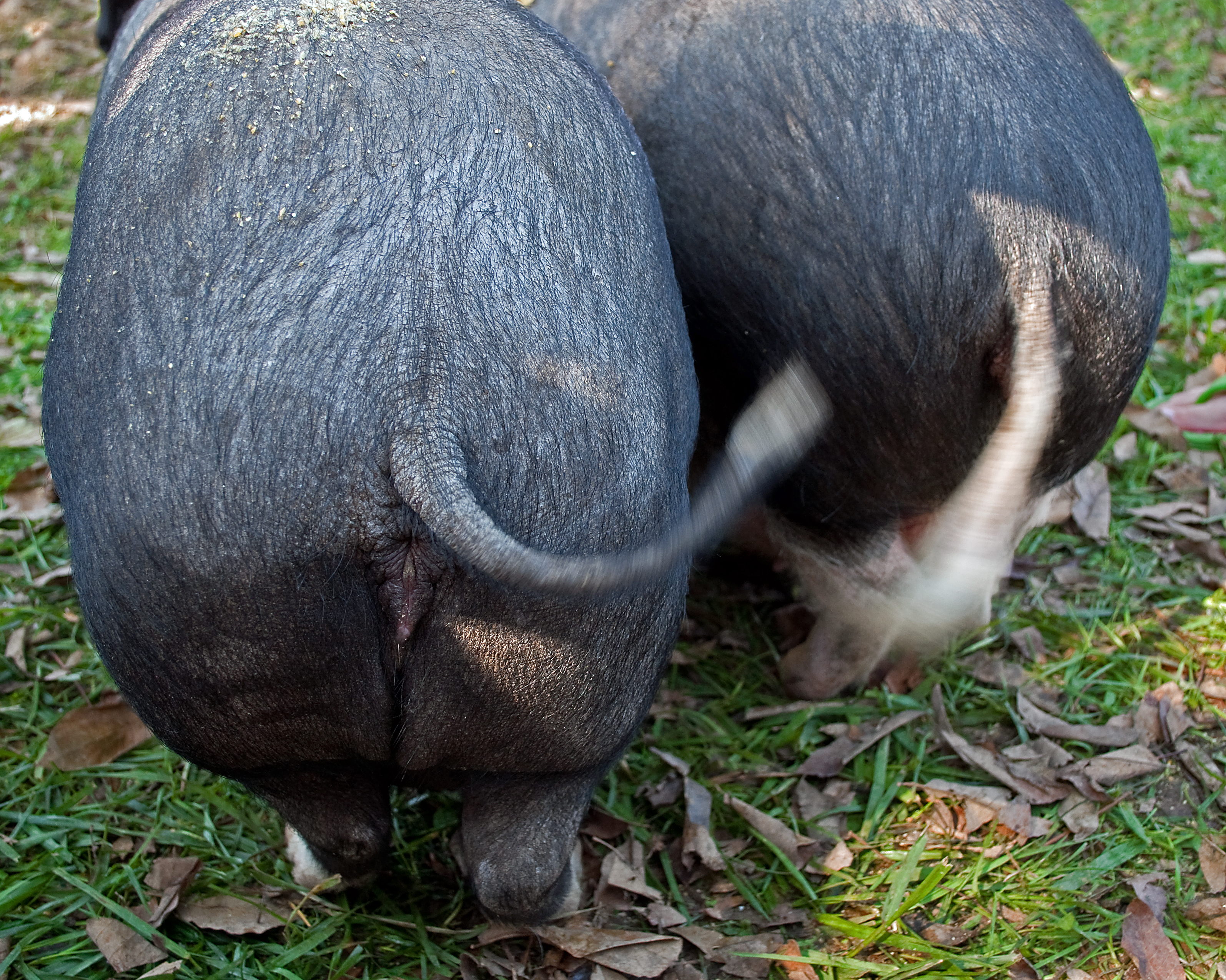
Happy as a Pig
Worlds End State Park
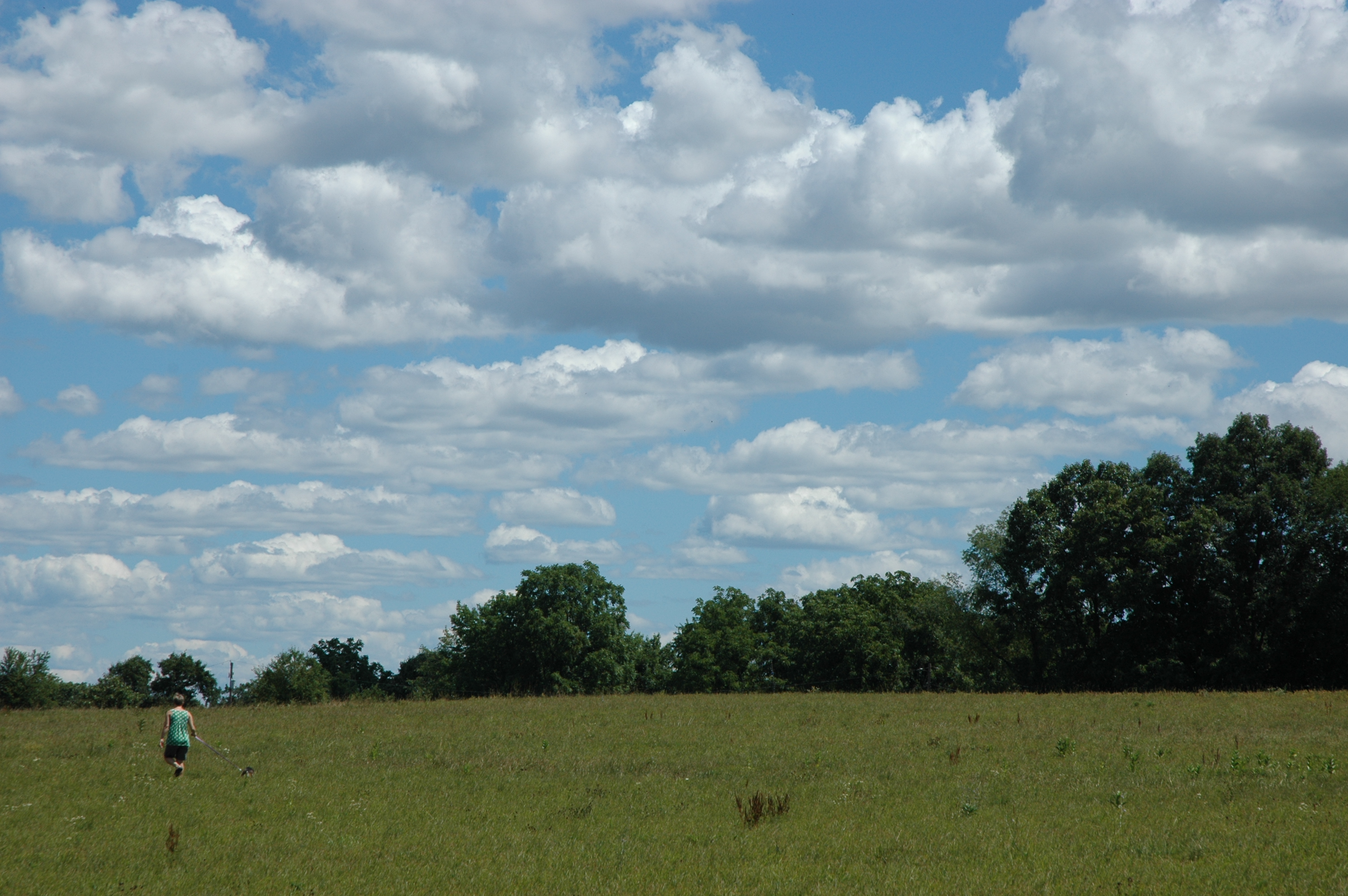
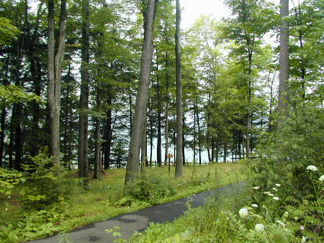
Walking the dog
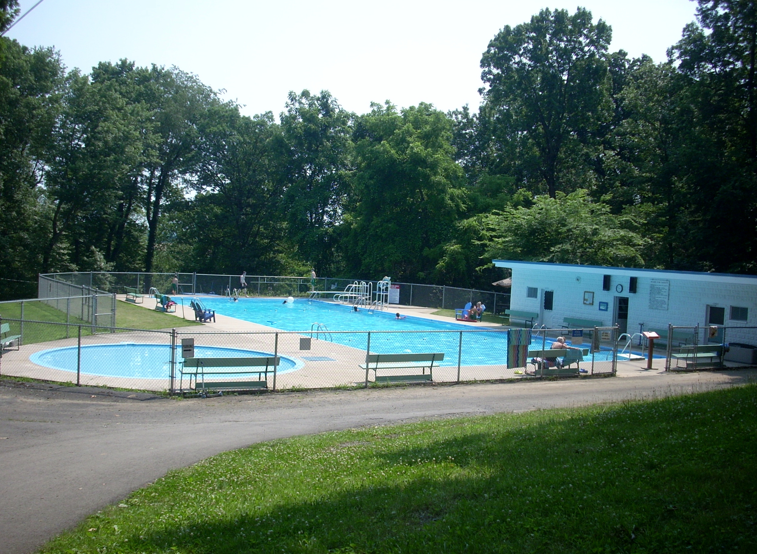
The Pool

Bucknell University Football Stadium 21 July 2007 (15)
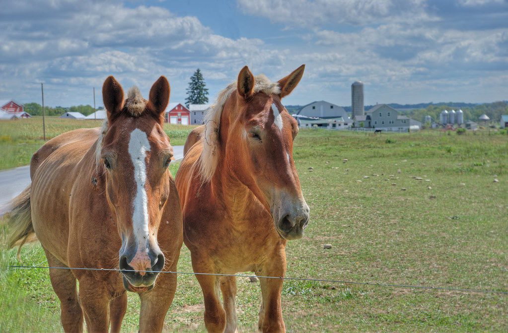
Mare & stallion....
Topographic Map of Elm St, Watsontown, PA, USA
Find elevation by address:

Places near Elm St, Watsontown, PA, USA:
414 Elm St
Watsontown
184 E 1st St
White Deer Pike, New Columbia, PA, USA
Allenwood
Delaware Township
160 Commerce Park Dr
New Columbia
West Milton
High St, West Milton, PA, USA
18 N Arch St
Milton
2375 Crossroads Dr
White Deer Township
Williamsport South / Nittany Mtn. Koa Holiday
Turbotville
Kelly Township
Lewis Township
100 N Water St
Street Of Shops Restaurant
Recent Searches:
- Elevation of Corso Fratelli Cairoli, 35, Macerata MC, Italy
- Elevation of Tallevast Rd, Sarasota, FL, USA
- Elevation of 4th St E, Sonoma, CA, USA
- Elevation of Black Hollow Rd, Pennsdale, PA, USA
- Elevation of Oakland Ave, Williamsport, PA, USA
- Elevation of Pedrógão Grande, Portugal
- Elevation of Klee Dr, Martinsburg, WV, USA
- Elevation of Via Roma, Pieranica CR, Italy
- Elevation of Tavkvetili Mountain, Georgia
- Elevation of Hartfords Bluff Cir, Mt Pleasant, SC, USA