Elevation of Wildlife Trail, Fiddletown, CA, USA

Location: United States > California > Amador County > Fiddletown >

Longitude: -120.67780

Latitude: 38.4941586

Elevation: 735m / 2411feet

Barometric Pressure: 93KPa

Elevation Map:

elevation map of Wildlife Trail, Fiddletown, CA, USA

Satellite Map:

Satellite map of Wildlife Trail, Fiddletown, CA, USA

Related Photos:

california plymouth canine sheriff lawenforcement k9 fordcrownvictoria amadorcountysheriff
Amador County K-9 Car 3-4 view
autumn orange brown fall leaves workers vines purple wine god jesus harvest grapes bible inspirational scripture
The Harvest!
california amadorcounty indiangrindingrockstatepark miwok roundhouse
Miwok Ceremonial Roundhouse, 6 of 6
california statepark travel rock geotagged indian culture historic daytrip goldcountry amadorcounty statehistoricpark
Indian Grinding Rock
california nikon jackson d200 airstream amadorcounty airforumsrally 200430classic jacksonrancheriarvpark 2011gmcduramaxdenali 40mmf28gmicro rainyviewofourairstream
Rainy view of our 2004 30' Classic Airstream
california smile pond plymouth amphibian frog villatoscanowinery
Blue-eyed Frog
california geotagged person volcano cave cavern goldcountry amadorcounty nationalnaturallandmark
Black Chasm Cavern
panorama winery amador montevina
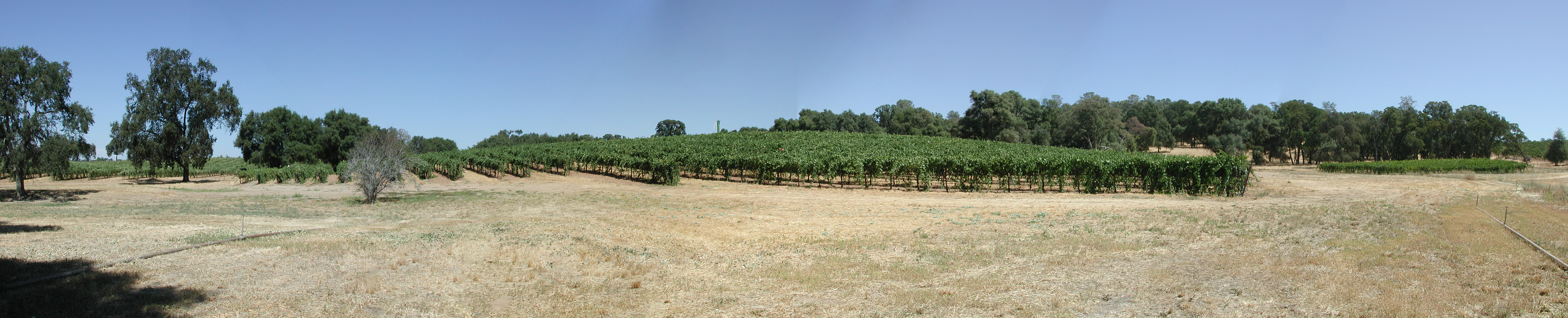
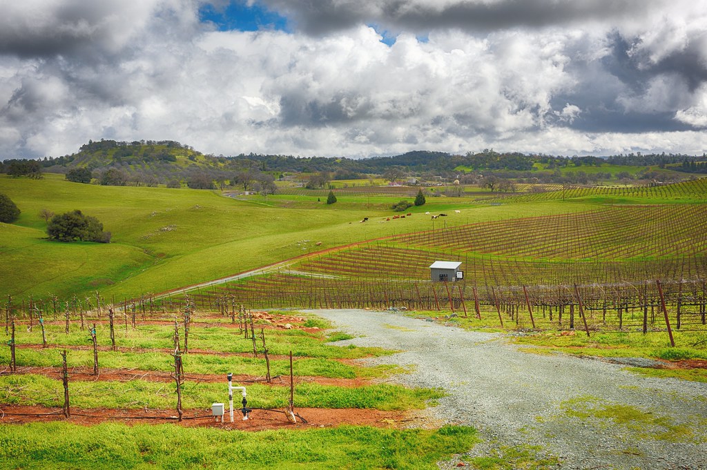
Montevina Winery Panorama
california amadorcounty indiangrindingrockstatepark miwok roundhouse
Miwok Ceremonial Roundhouse, 4 of 6
california amadorcounty indiangrindingrockstatepark miwok roundhouse
Miwok Ceremonial Roundhouse, 5 of 6
motorcycles ducati giro bianchi mv gilera agusta sfmc morini benelli motobi motogiro classicbikes vintagebikes motomelee girodcalifornia
Wide view of the America River bridge
startrails highway49 amadorcounty stbernardschurchvolcano californialongexposurefullmoon
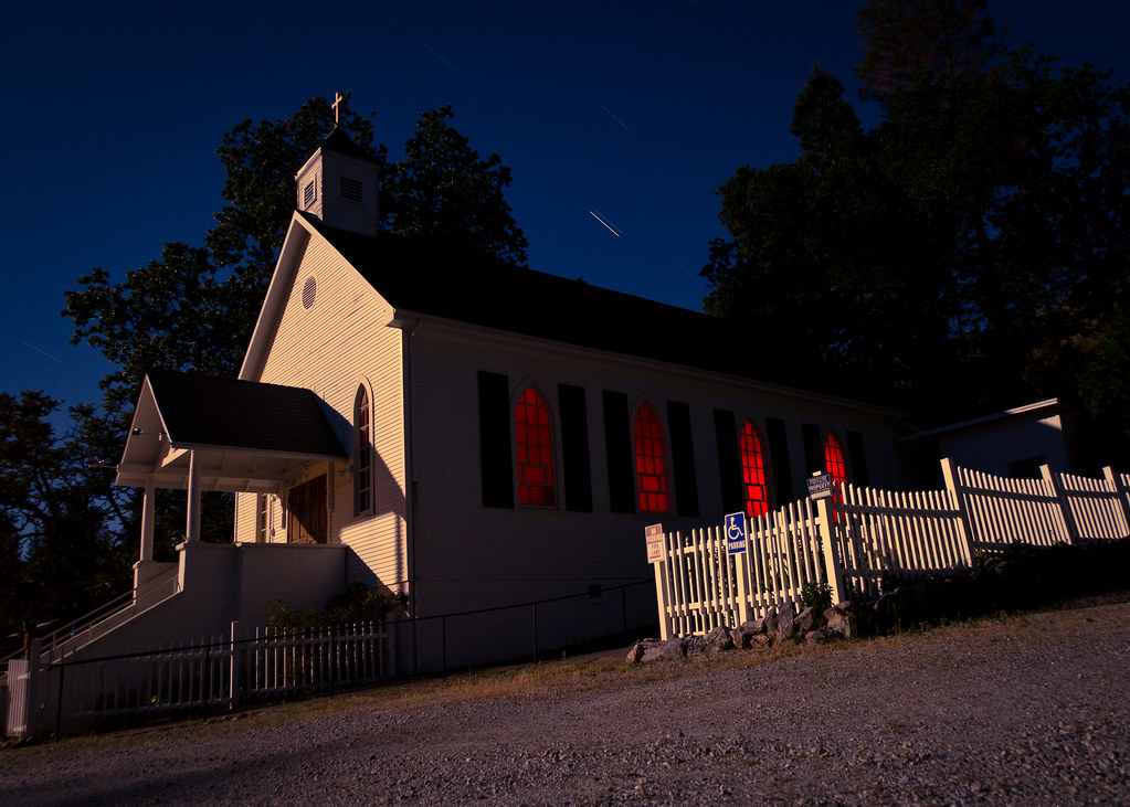
St. Bernard's Church
california amadorcounty indiangrindingrockstatepark miwok roundhouse
Miwok Ceremonial Roundhouse, 2 of 6
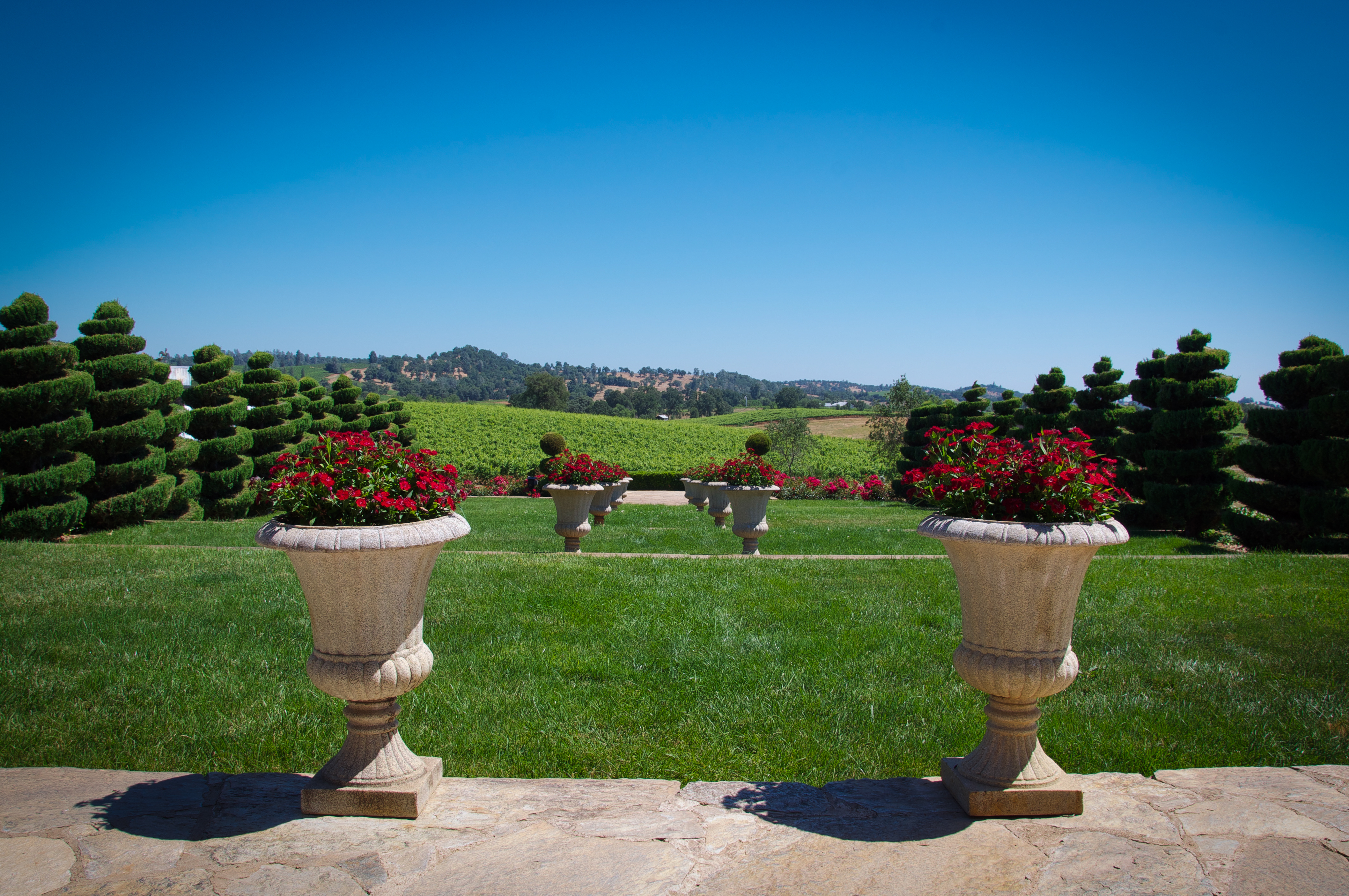
red sky plants mountain blur green nature grass vineyard view tier
Karmére Vineyard
square toaster squareformat tvp iphoneography instagramapp uploaded:by=instagram foursquare:venue=4c92aa11418ea1cdfcf9a685
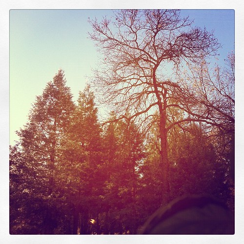
This is the view from my grandpa's front porch. I wouldn't mind waking up to this every morning. #photooftheday
wine winetasting
Vineyard view
goldcountry suttercreek westernbuildings
Hanford House
"The Truth is Out There"
travel
Nice Mountain View 1
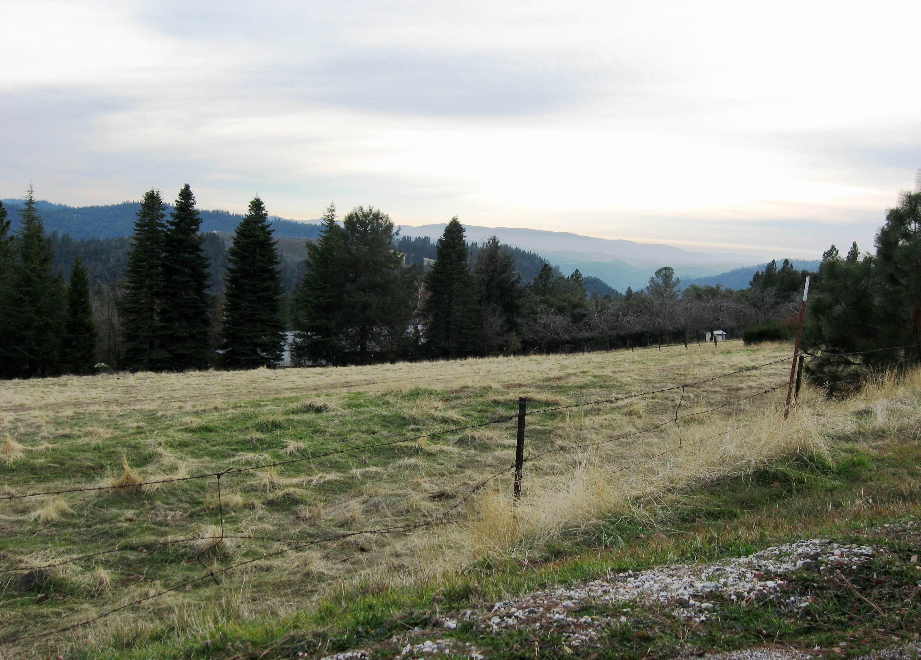
travel
Nice View 3
travel
Nice View 2
farm landscape winetasting amadorcounty california shenendoahvalley
Shenendoah Valley
clouds storm hill grapevine spring green hills hdr travel winetasting wine amadorcounty california shenendoahvalley
Shenendoah Valley
landscape water nature trees river flowing reflection reflections cosumnes somerset california fall autumn panorama panoramic wideangle
A River Runs Through It
landscape water nature trees bnw blackandwhite monochrome river flowing flow calm exposure longexposure rocks contrast stream
Calm Waters
cave cavern
Black Chasm Cave Tour
The Veins of an Oak at Sunset - Sutter Creek, CA
california sky yellow clouds landscape interestingness dry explore 129 suttercreek sfchronicle96hrs diamondclassphotographer
From Sutter Creek***
northerncalifornia norcal eldoradocounty mtaukum dagostinireservoir
D'Agostini Reservoir
california amadorcounty amador barns blackandwhite bw trees shadows light autumn canon 7d leaningladder
Protected by the shadows
california ca sky usa tree texture grass clouds hills oaktree lonetree fiddletown blueandgold
Hard To Choose
california usa foothills mountains green northerncalifornia rural spring day sony bluesky hills clear pasture valley poppy poppies rolling suttercreek amadorcounty amadorcity rx100
Outside Amador City
California Foothill Terrain, at it's best !!
california yosemite sierras sierranevada sierranevadas centralvalley
Lone Tree Near Plymouth, California
california cave
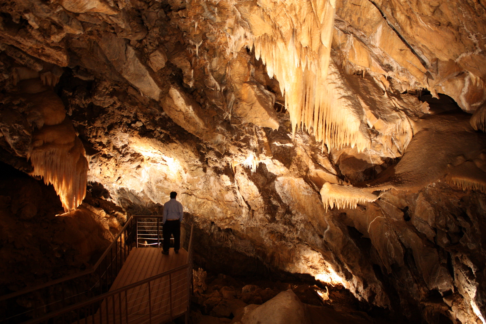
Stalactites in Black Chasm Cavern, Volcano, California
Drapery Stalactites
california lake water river fire aircraft 911 huey helicopter forestfire firefighting s60 amador wildfire dipping usda cdf spotter wildland usfs bambibucket sandfire calfire
Sand Fire July 2014 © Keith Breazeal-15
california lake water river fire aircraft 911 huey helicopter forestfire firefighting s60 amador wildfire dipping usda cdf spotter wildland usfs bambibucket sandfire calfire
Sand Fire July 2014 © Keith Breazeal-18
california lake water river fire aircraft 911 huey helicopter forestfire firefighting s60 amador wildfire dipping usda cdf spotter wildland usfs bambibucket sandfire calfire
Sand Fire July 2014 © Keith Breazeal-10
california underground volcano exploring cave caving carlsbadcaverns cavern pioneer stalactites stalagmites spelunking helictites oregoncaves amadorcounty volcanoca blackchasmcavern nationalnaturallandmark sodastraws landmarkroom californiacaves flowstones blackchasmcave helictitecrystals miwokindians falsefloors headacherock pioneercalifornia draperiesribbonsangelswingscavebaconsodastraws
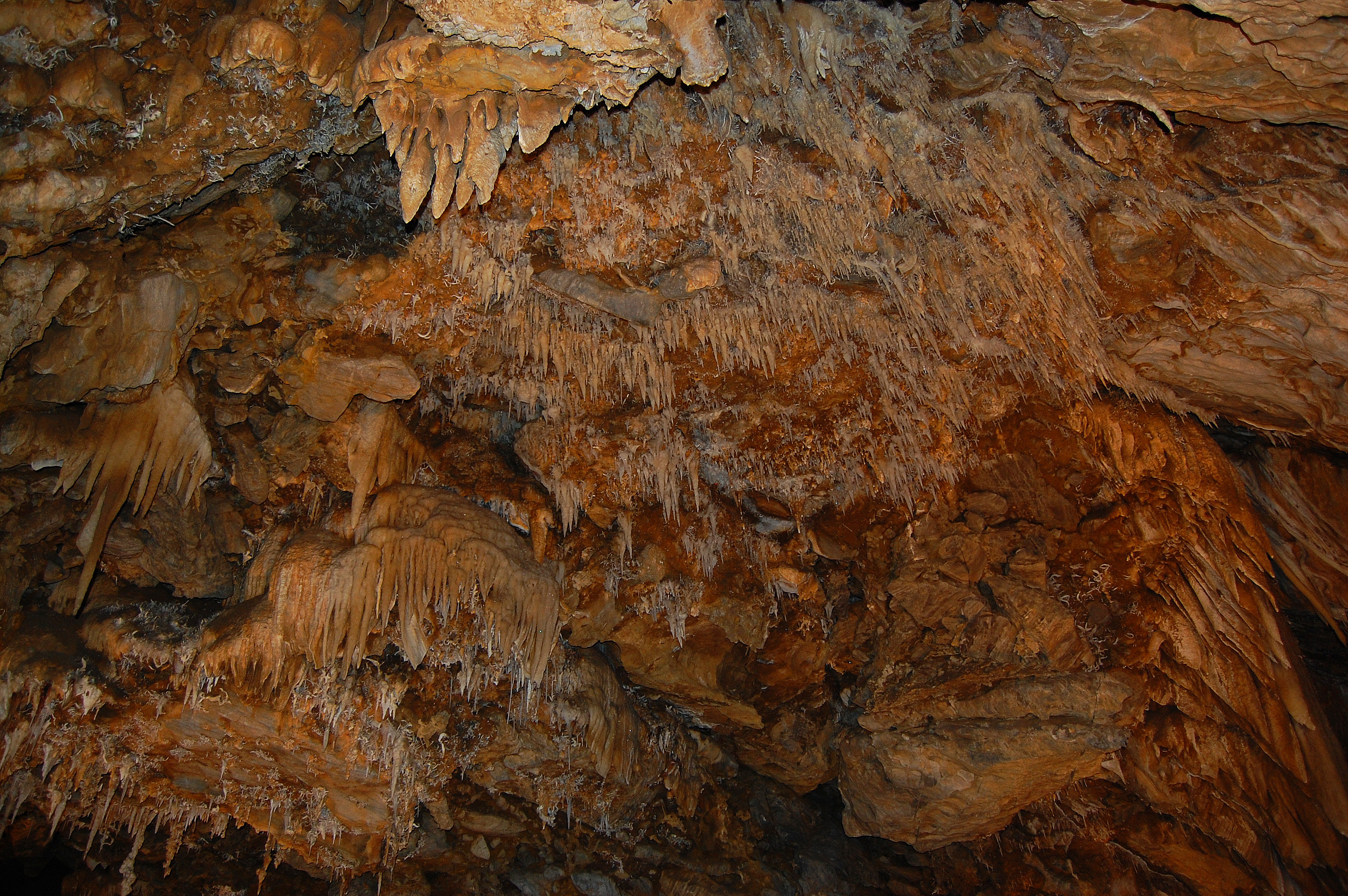
Black Chasm Cavern, National Natural Landmark