Elevation of Fiddletown, CA, USA
Location: United States > California > Amador County >
Longitude: -120.75656
Latitude: 38.5039105
Elevation: 516m / 1693feet
Barometric Pressure: 95KPa
Elevation Map:
Satellite Map:
Related Photos:
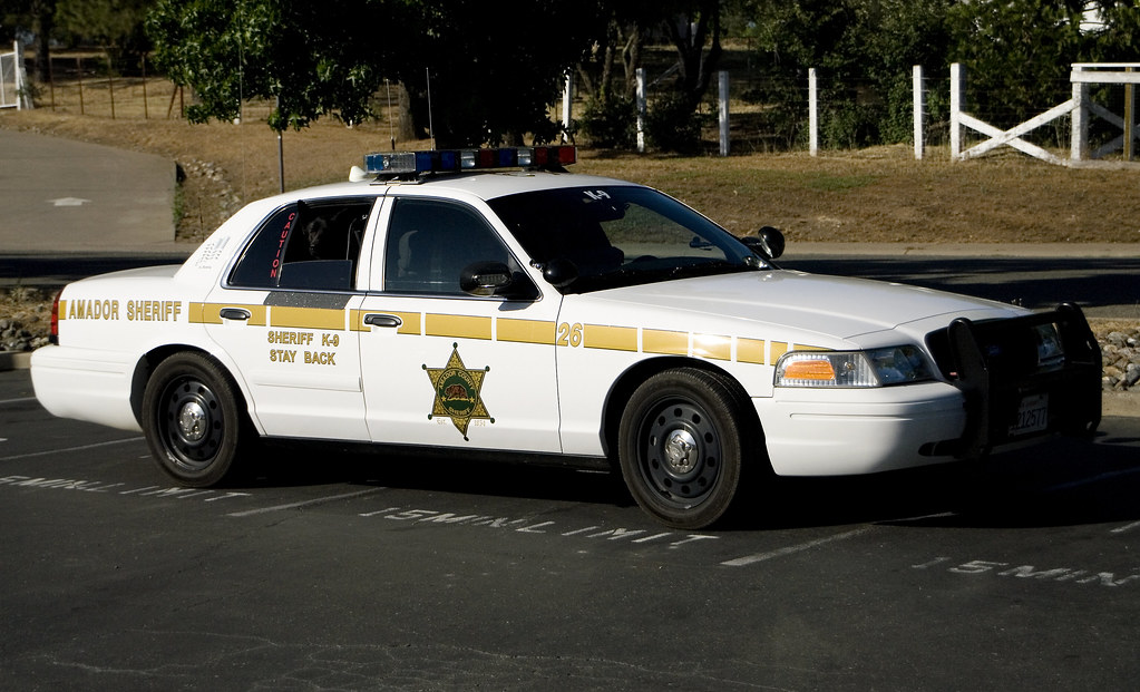
Amador County K-9 Car 3-4 view

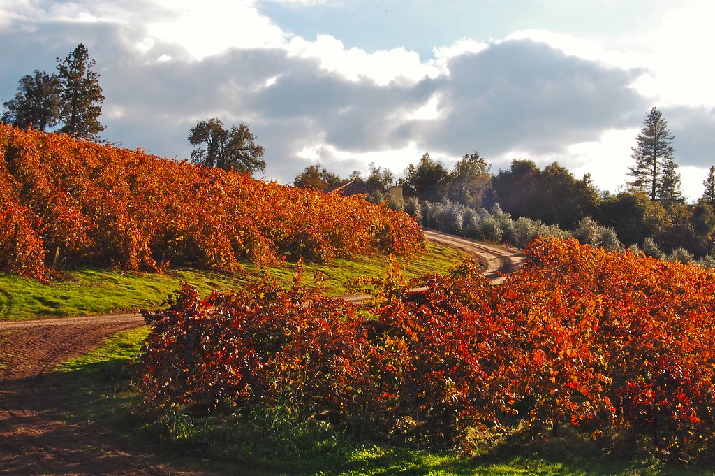
Mt. Aukum fall views
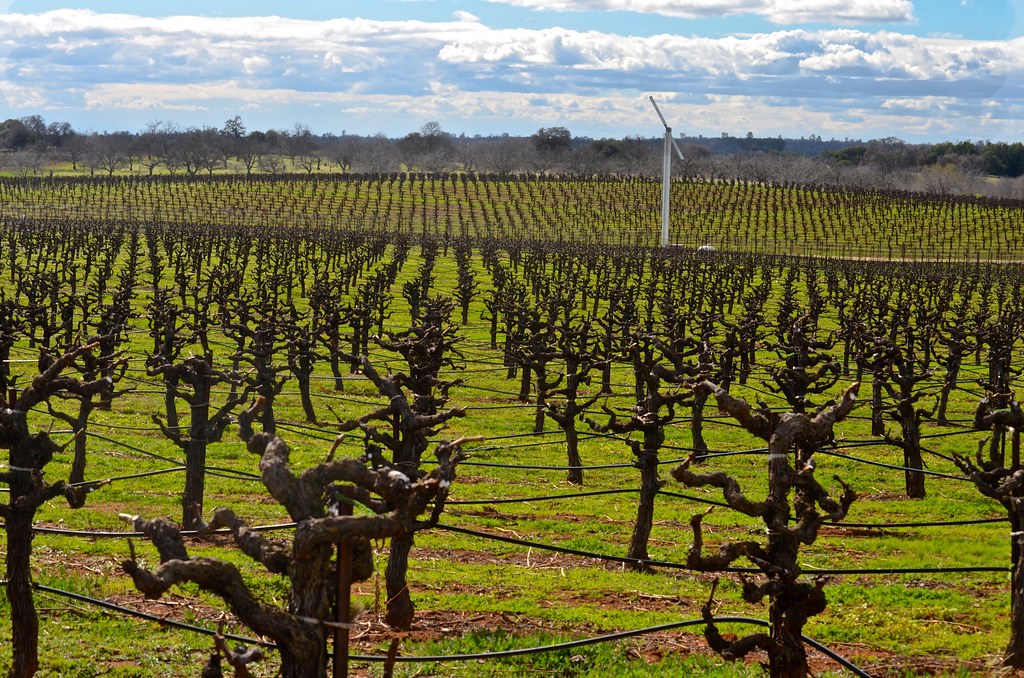
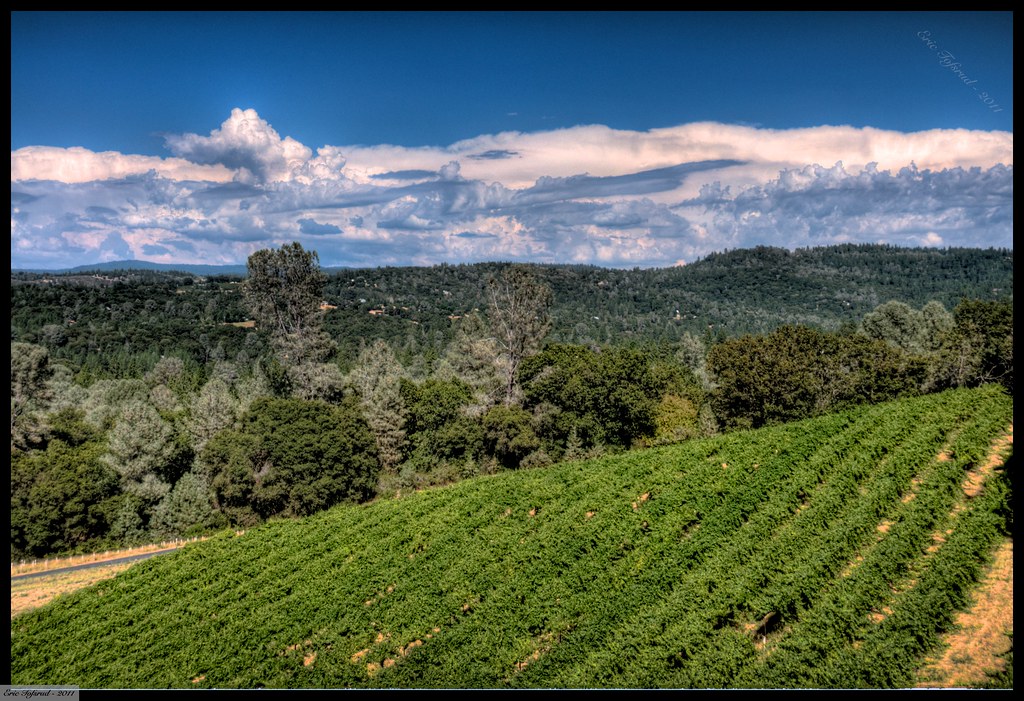
Cooper Vineyards

"The Truth is Out There"
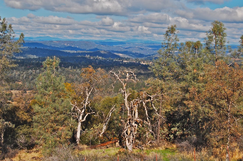
Mt. Aukum fall views

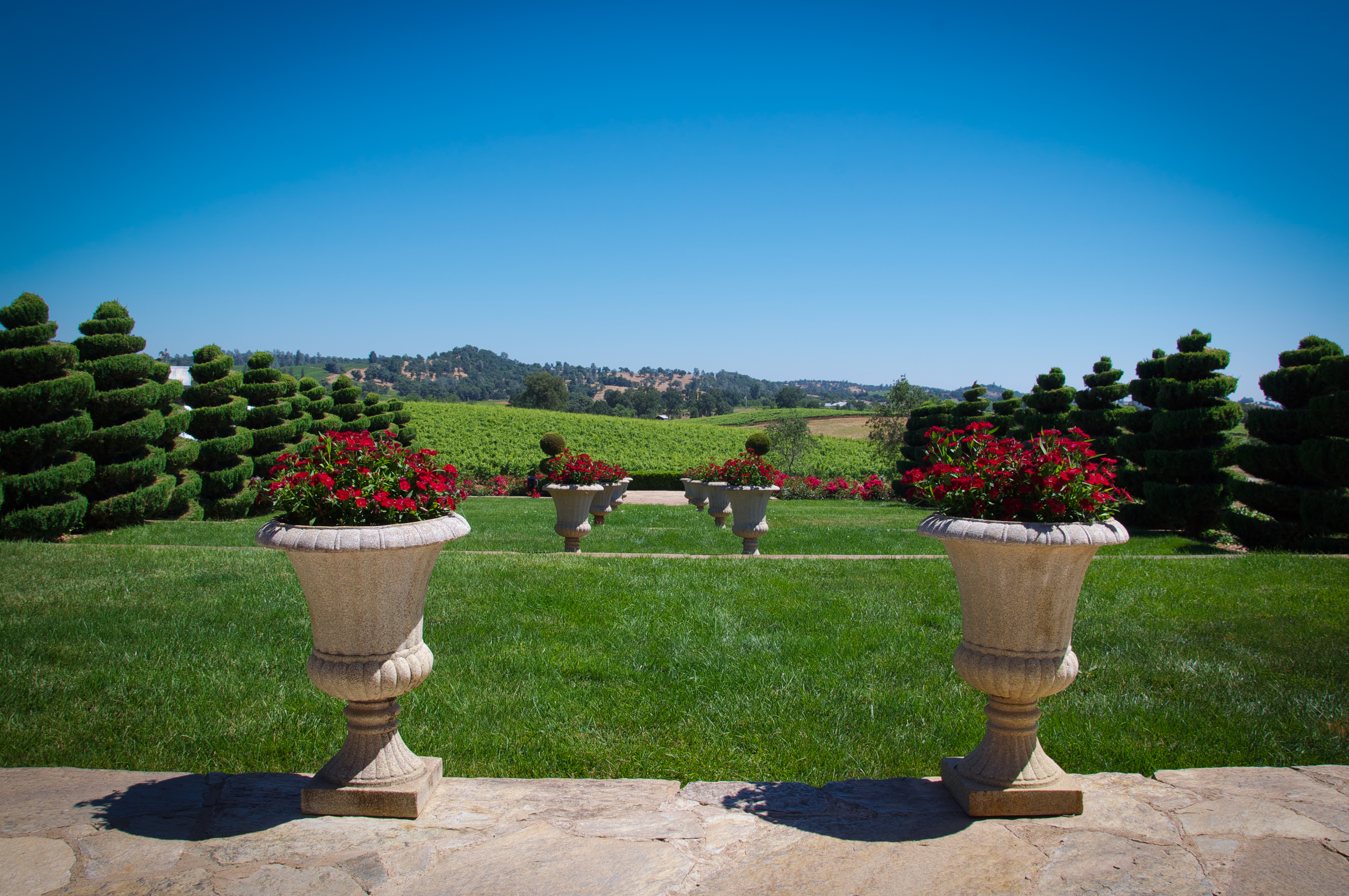
Patio views Il Gioiello tasting room
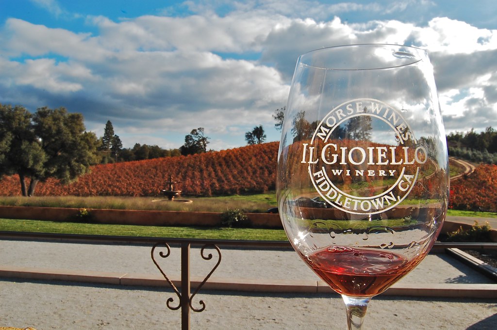
Patio views Il Gioiello tasting room

Patio views Il Gioiello tasting room
Patio views Il Gioiello tasting room

Bray Vineyards view

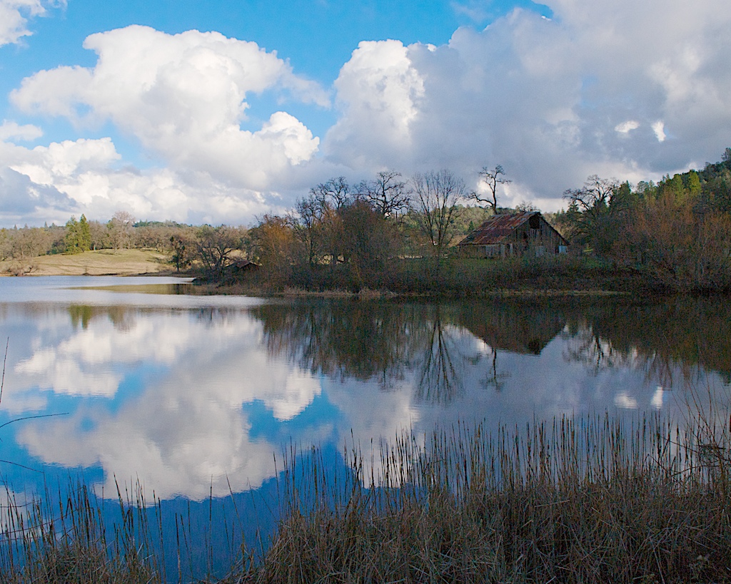
Story Winery view, fog over Cosumnes River, Almador hills, old vine hillside

Sobon Estates view

Diamond Springs Hills
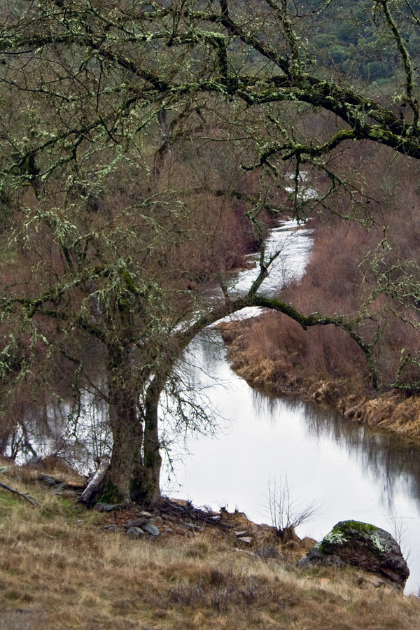
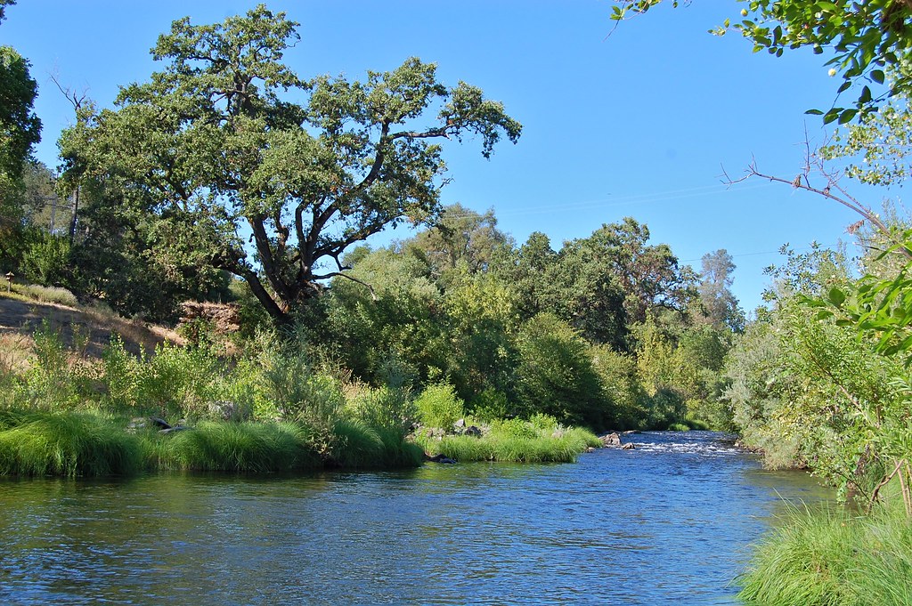
River bend

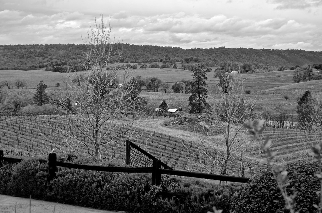
Montevina Winery Panorama
view, Helwig Winery, Amador County,
Karmére Vineyard

Sera Fina Winery View
River view
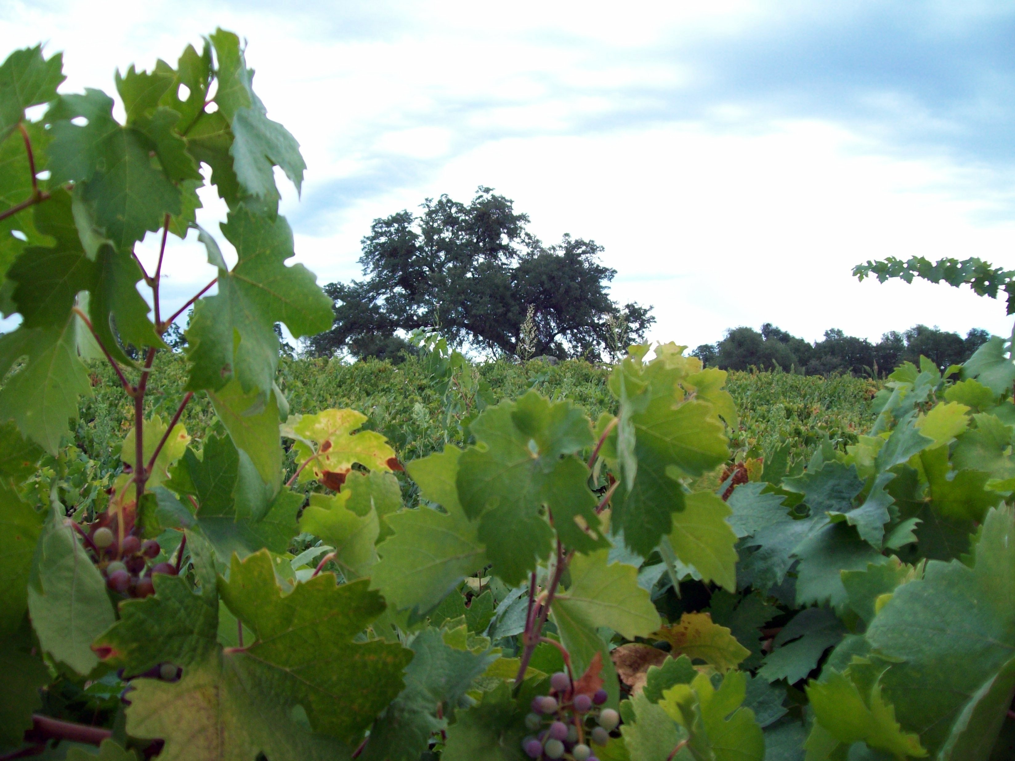
Vineyard view
Hanford House

Hard To Choose

All the World's a Sunny Day
From Sutter Creek***
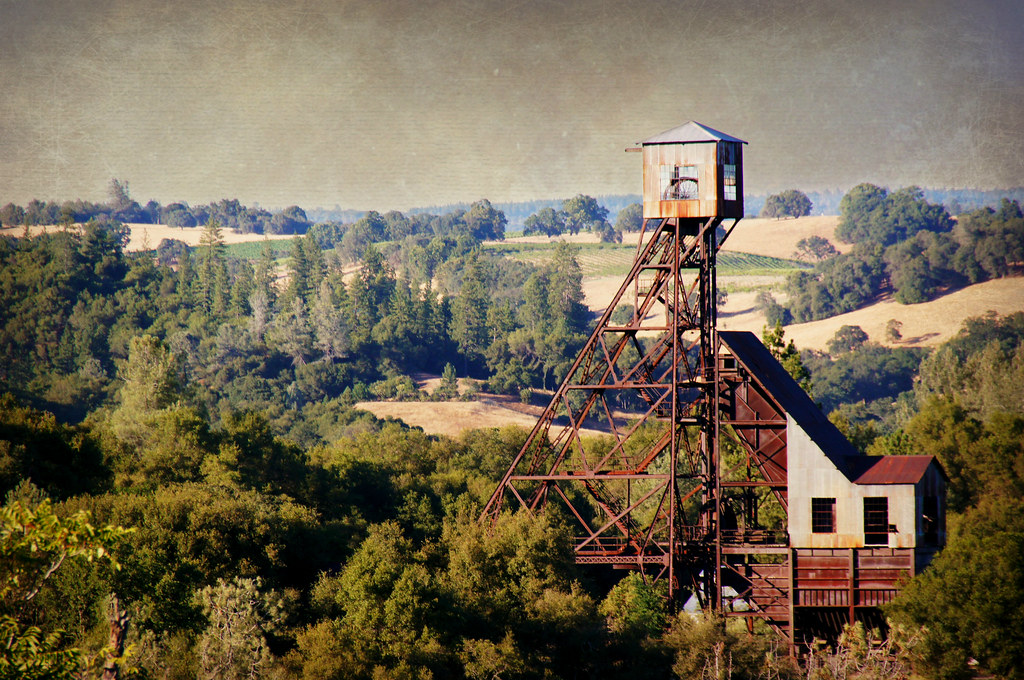
Kennedy Goldmine Headframe

Helwig Winery
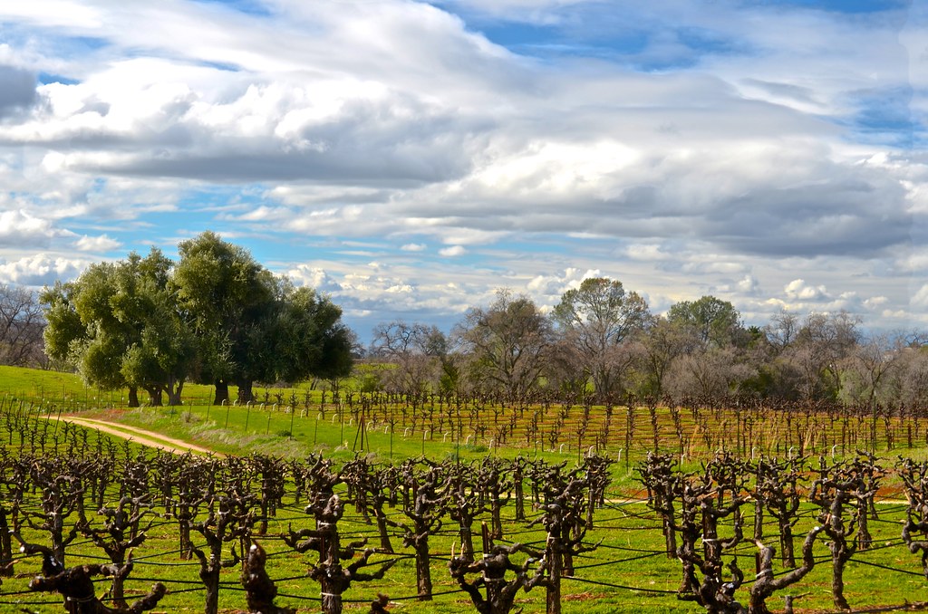
Cooper Vineyards

Golden leaves Winery, fall foliage
Outside Amador City

Camera Roll-1234

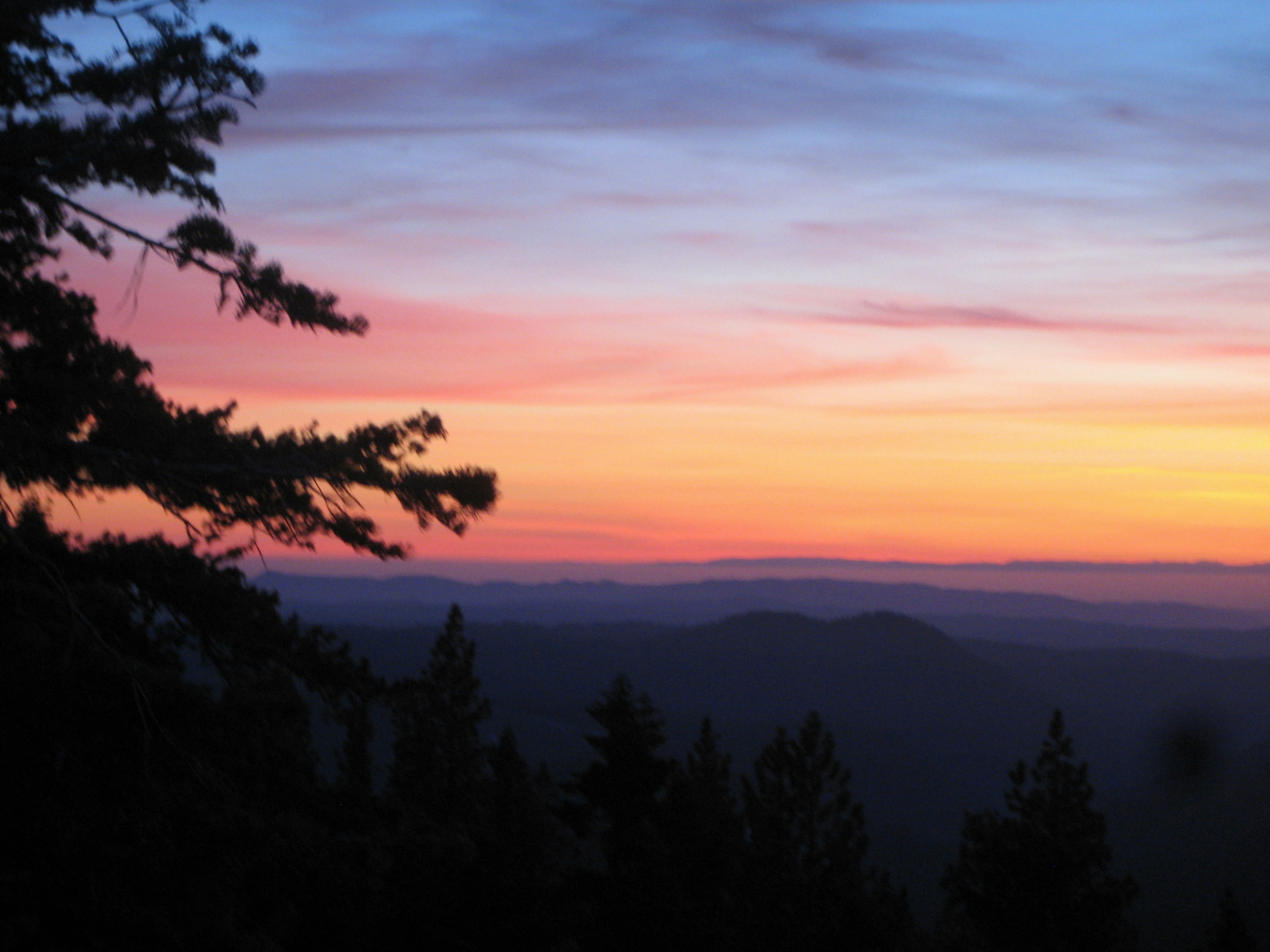
california sunset
#cows #hills #california #winter #iloveca
Camera Roll-1234
Living Color

Sand Ridge Fire area, Story Winery
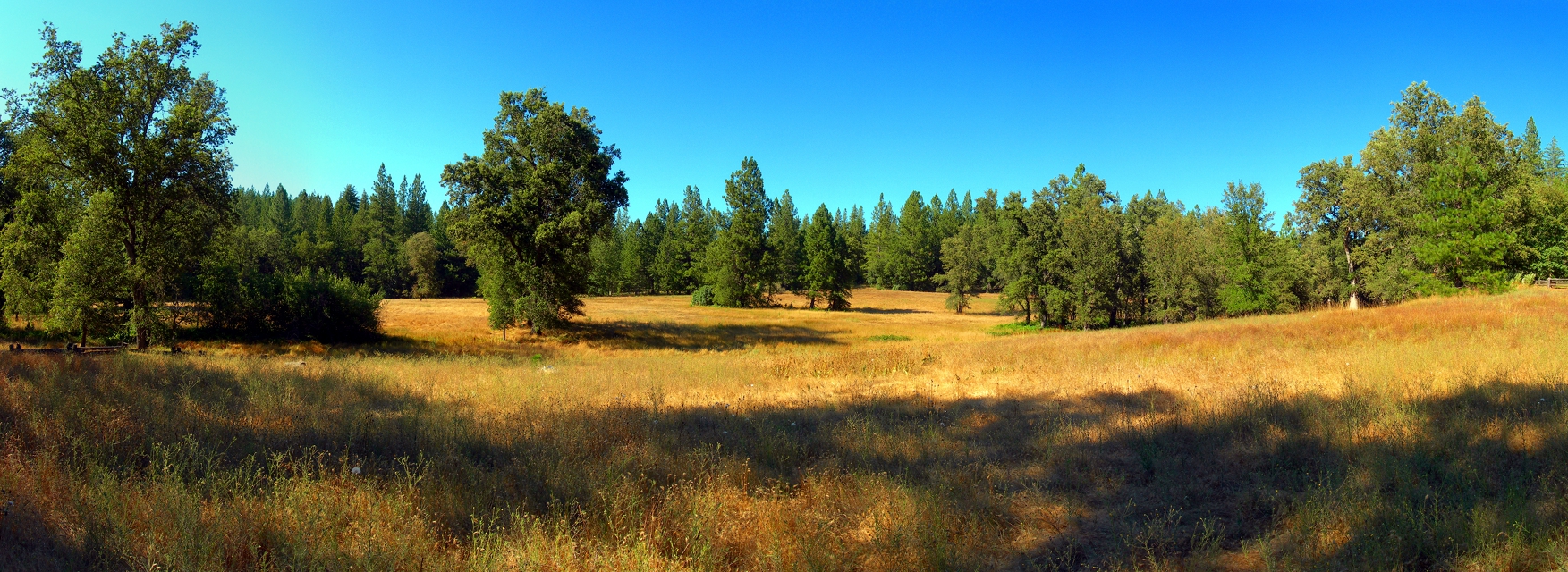
California Foothill Terrain, at it's best !!

DSCN0348-001

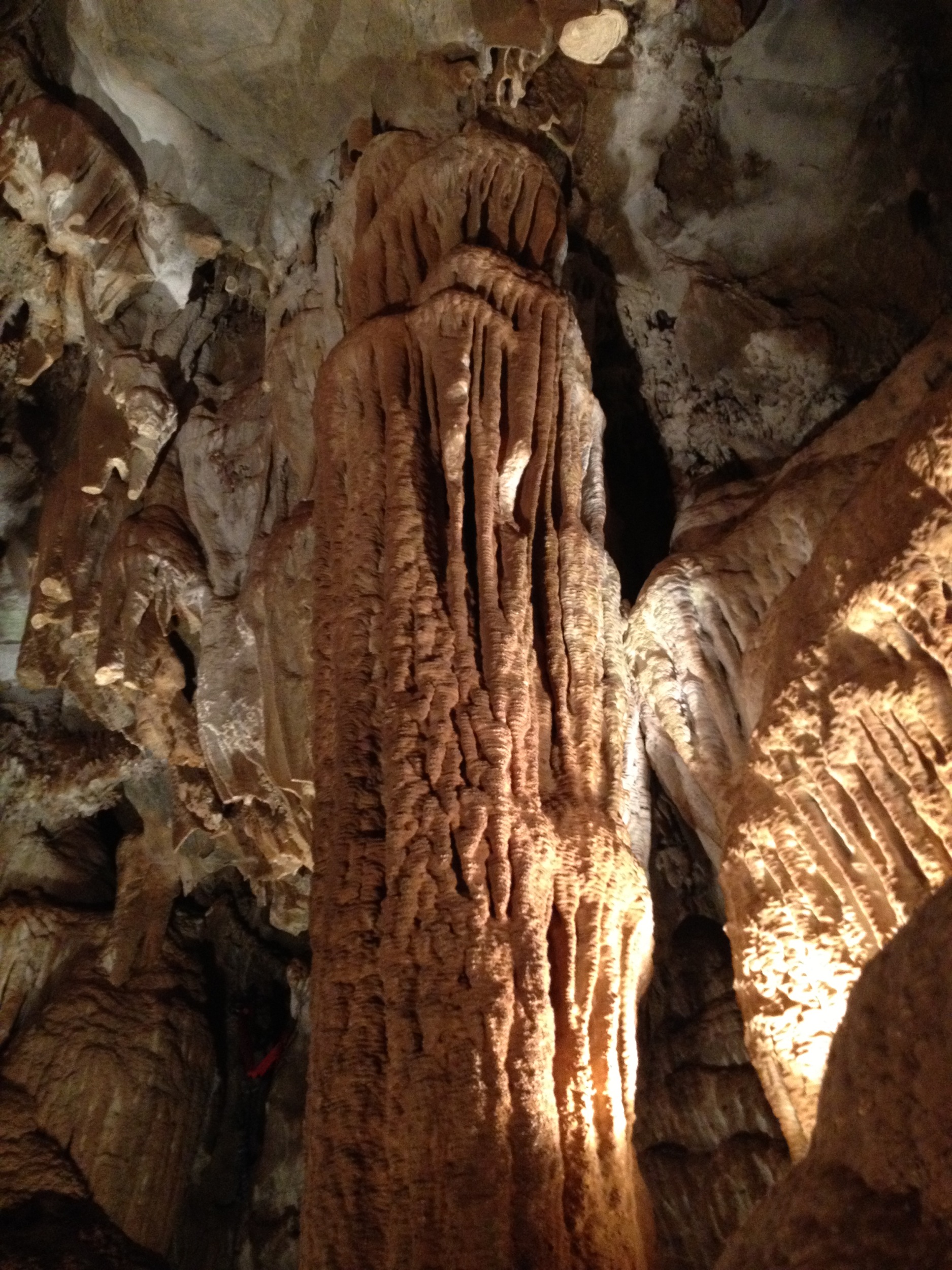
Black Chasm Cavern, Volcano, California.
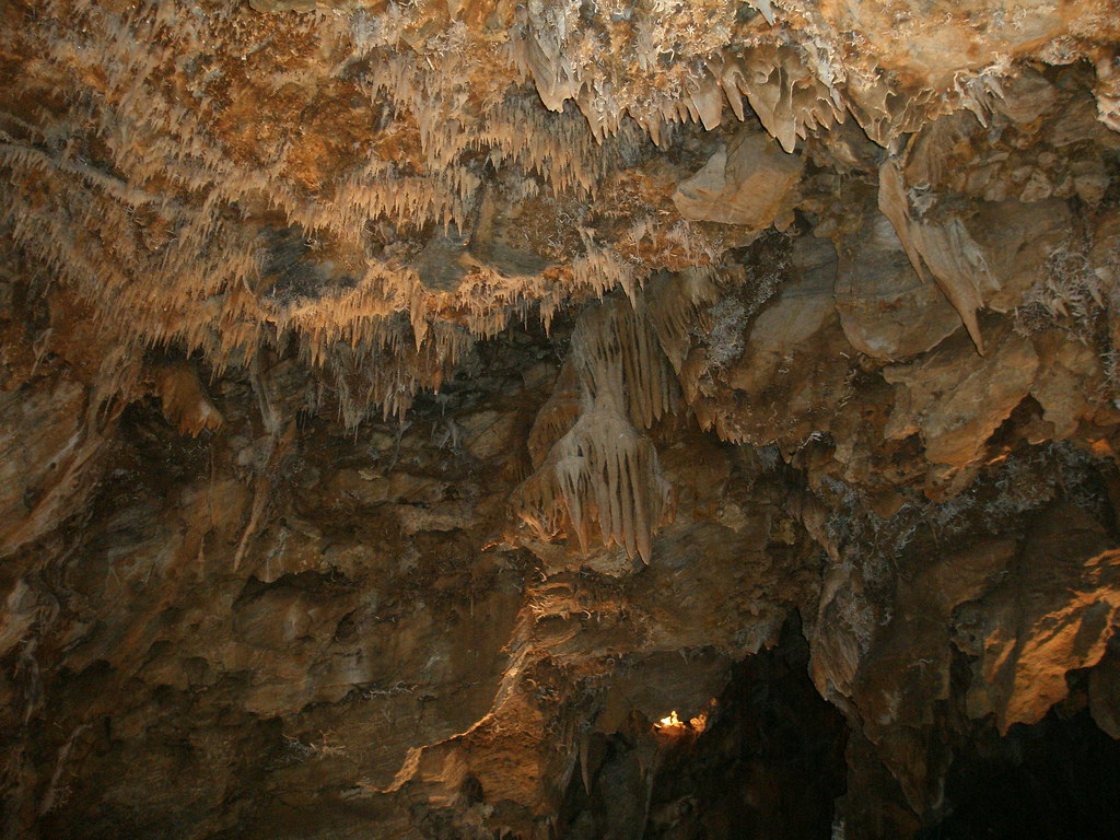
Black Chasm Caverns (35)
D'agostini Reservior, El Dorado County

Shadow Ranch, Winery view
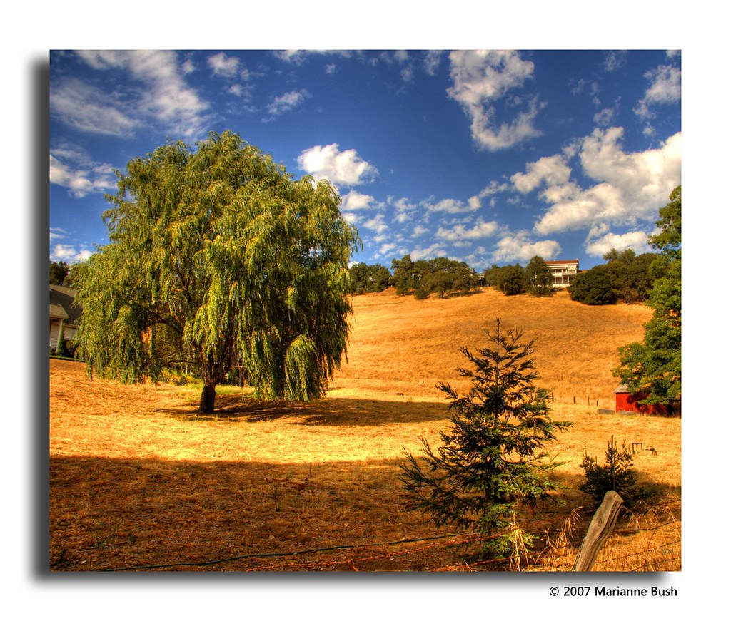
At the Edge of the Meadow
Topographic Map of Fiddletown, CA, USA
Find elevation by address:

Places in Fiddletown, CA, USA:
Fiddletown Rd, Fiddletown, CA, USA
Bridgeport School Rd, Fiddletown, CA, USA
View Circle Road
Wildlife Trail
Quartz Mountain Road North & Red Soil Lane
Cedar Pines Drive
Coyoteville
Fiddletown Road & Brockman Mill Road
Fiddletown Road & Burnt Wheel Farm Road
Fiddletown Road & Burnt Wheel Farm Road
Fiddletown Road & Hale Road
Fiddletown Road & Rolling Oaks Court
Fiddletown Road & American Flat Road
Fiddletown Road & Vineyard Lane
Fiddletown Road & Quartz Mountain Road North
Wildlife Trail
Places near Fiddletown, CA, USA:
Fiddletown Road & American Flat Road
World's Largest Fiddle
Fiddletown Rd, Fiddletown, CA, USA
Fiddletown Road & Vineyard Lane
Fiddletown Road & Quartz Mountain Road North
16045 Mt Whitney Dr
Fiddletown Road & Rolling Oaks Court
Fiddletown Road & Hale Road
13200 Shenandoah Rd
Circle Avenue
13327 Oakstream Rd
River Pines Pud
River Pines
Rock Ln, Pioneer, CA, USA
20680 Shenandoah School Rd
11970 Shenandoah Rd
20516 Bertone Dr
Mt Aukum, CA, USA
17451 Lueders Ct
6900 Bertone Dr
Recent Searches:
- Elevation of Corso Fratelli Cairoli, 35, Macerata MC, Italy
- Elevation of Tallevast Rd, Sarasota, FL, USA
- Elevation of 4th St E, Sonoma, CA, USA
- Elevation of Black Hollow Rd, Pennsdale, PA, USA
- Elevation of Oakland Ave, Williamsport, PA, USA
- Elevation of Pedrógão Grande, Portugal
- Elevation of Klee Dr, Martinsburg, WV, USA
- Elevation of Via Roma, Pieranica CR, Italy
- Elevation of Tavkvetili Mountain, Georgia
- Elevation of Hartfords Bluff Cir, Mt Pleasant, SC, USA