Elevation of Wickham Rd, Pomeroy, OH, USA
Location: United States > Ohio > Meigs County > Chester Township >
Longitude: -81.972272
Latitude: 39.0993423
Elevation: 218m / 715feet
Barometric Pressure: 99KPa
Elevation Map:
Satellite Map:
Related Photos:

Malaysian Serama

Here in December was the creek "Thomas Fork," an expression of cold wet prettiness.

Modern Game Bantam

Viewing Rocksprings
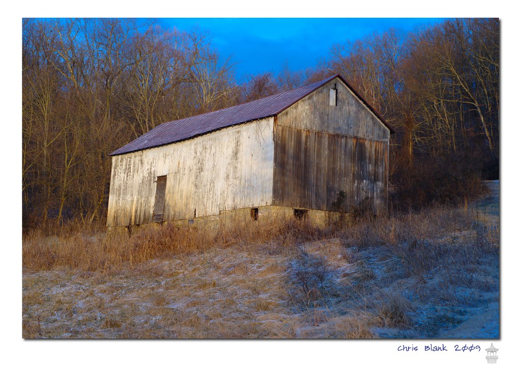
Syracuse Barn

I love that moment of orange in the sky as the sun starts to rise. My view this morning from the sunroom.

Giving you Xmasday creek scenery of Kingsbury Creek, in Meigs County Ohio, on Xmasday '13.

Horse Cave Creek is known to the local rural Meigs County Ohioans as "the Shade River drainage basin's creek nonpareil."

Pomeroy, OH 5

View from the Sun Toward the Planets

Views like this makes #exercise a little easier. #healthy #run #walk #justdoit

Campin'

Kingsbury Creek is known to the local rural Meigs County Ohioans as "the jewel of the Shade River drainage basin."

Shows the creek "Little Leading Creek" in Rutland, Ohio.

MPB 35-53-01, Meigs County, Ohio

MPB 35-53-03, Meigs County, Ohio

MPB 35-53-03, Meigs County, Ohio

Sacred Heart Catholic Church - Pomeroy, Ohio

From last night's ride. First #vette ride of the "summer". #corvette #sunset #sun

Abandoned town #abandoned #Cheshire #Ohio

Middleport Boat Access #OhioRiver

August Ohio Woods

What happened to the pretty white fluffy clouds?!?

Getting a walk in before the rain. #healthy

Sacred Hearts Church by Drone
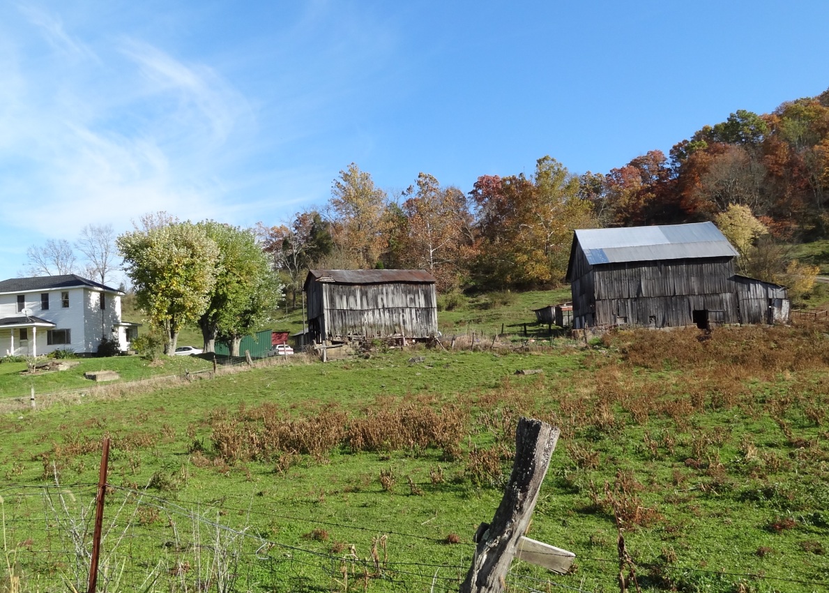
MPB 35-53-02, Meigs County, Ohio

Pomeroy, Ohio

MPB 35-53-02, Meigs County, Ohio
Topographic Map of Wickham Rd, Pomeroy, OH, USA
Find elevation by address:

Places near Wickham Rd, Pomeroy, OH, USA:
35190 Flatwoods Rd
Meigs County
Flatwoods
OH-, Pomeroy, OH, USA
34741 Rocksprings Rd
Darwin
Bedford Township
East Main Street
40221 Township Hwy 130
Pomeroy
Salisbury Township
Gold Ridge Road
20 Butternut Ave
203 Butternut Ave
205 Butternut Ave
207 Butternut Ave
306 Wetzgall St
37012 Wolfpen Rd
New Lima Rd, Rutland, OH, USA
Hill St, Middleport, OH, USA
Recent Searches:
- Elevation of Corso Fratelli Cairoli, 35, Macerata MC, Italy
- Elevation of Tallevast Rd, Sarasota, FL, USA
- Elevation of 4th St E, Sonoma, CA, USA
- Elevation of Black Hollow Rd, Pennsdale, PA, USA
- Elevation of Oakland Ave, Williamsport, PA, USA
- Elevation of Pedrógão Grande, Portugal
- Elevation of Klee Dr, Martinsburg, WV, USA
- Elevation of Via Roma, Pieranica CR, Italy
- Elevation of Tavkvetili Mountain, Georgia
- Elevation of Hartfords Bluff Cir, Mt Pleasant, SC, USA