Elevation of Rocksprings Rd, Pomeroy, OH, USA
Location: United States > Ohio > Meigs County > Salisbury Township > Pomeroy >
Longitude: -82.018420
Latitude: 39.0687343
Elevation: 189m / 620feet
Barometric Pressure: 99KPa
Elevation Map:
Satellite Map:
Related Photos:

I love that moment of orange in the sky as the sun starts to rise. My view this morning from the sunroom.

Malaysian Serama
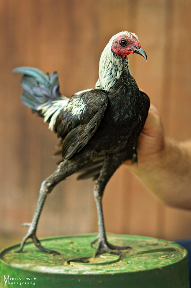
Modern Game Bantam
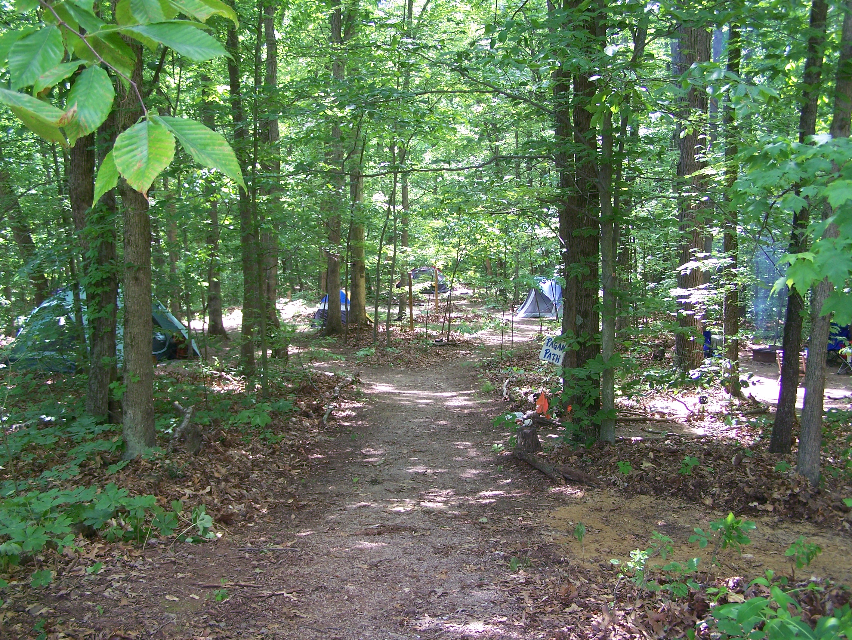
Campin'
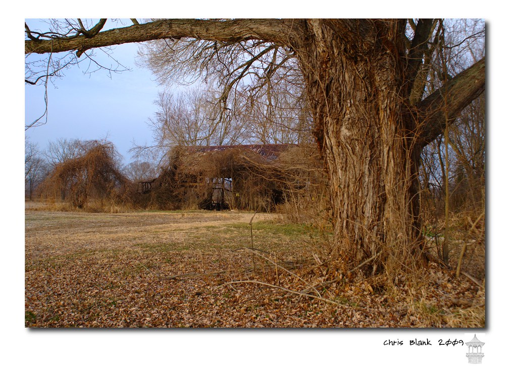
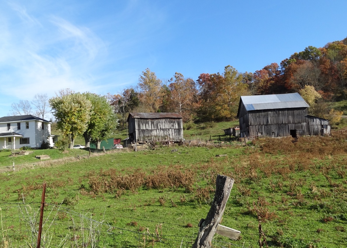
An old barn in Cheshire Ohio
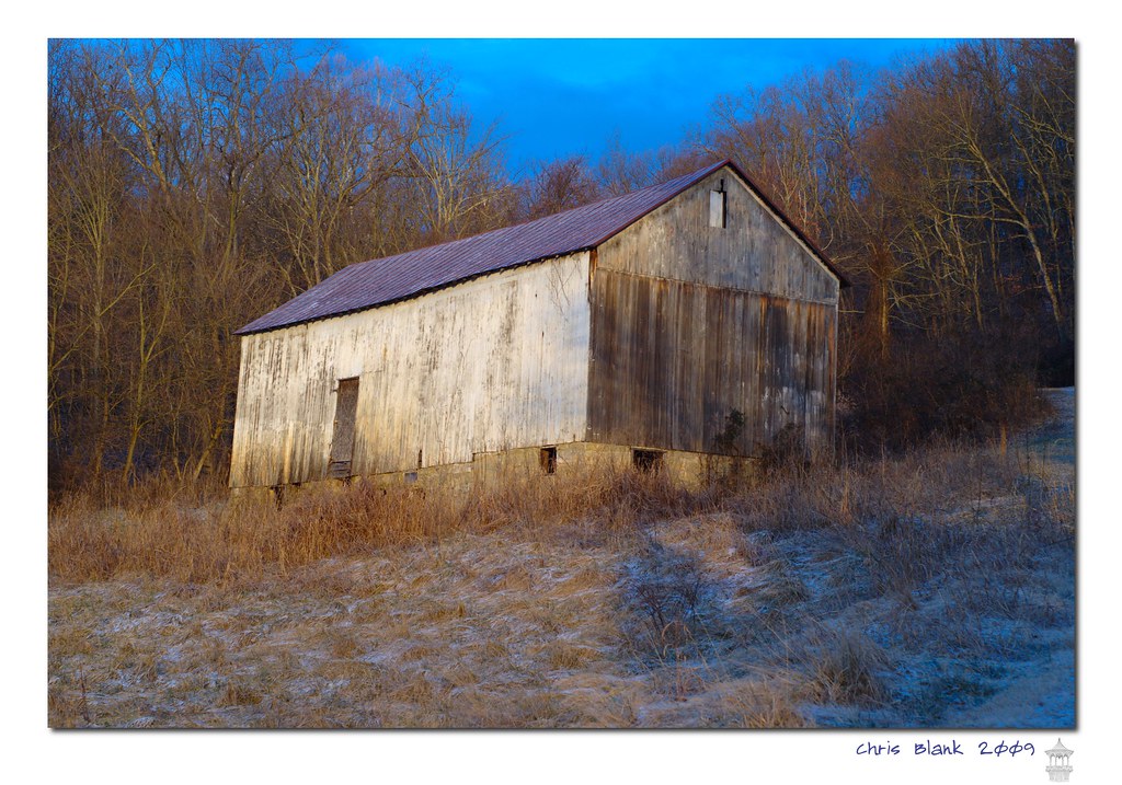
Syracuse Barn
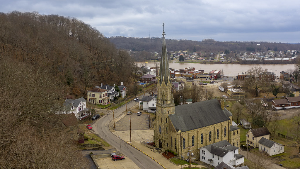
Sacred Hearts Church by Drone
Sitting here waiting for my oil to be changed and drinking my coffee...

Evening walk with Daddy

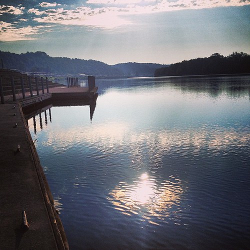
Daddy and I are having a cup of coffee and watching the river flow by.

Pomeroy-Mason Bridge

TNT Area Igloo's

From last night's ride. First #vette ride of the "summer". #corvette #sunset #sun

Beautiful #sunset ... #ohioriver #wv #newhaven #sun #skyporn

#ohioriver #newhaven #wv #river #sky #skyporn #sunset #cloud #cloudporn
McClintic Wildlife Management Area

Tonight's #sunset

#ohioriver #river #sun #sunset
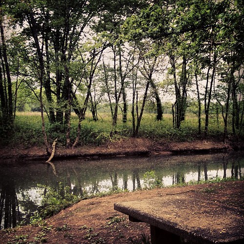
Leading Creek Water Trail

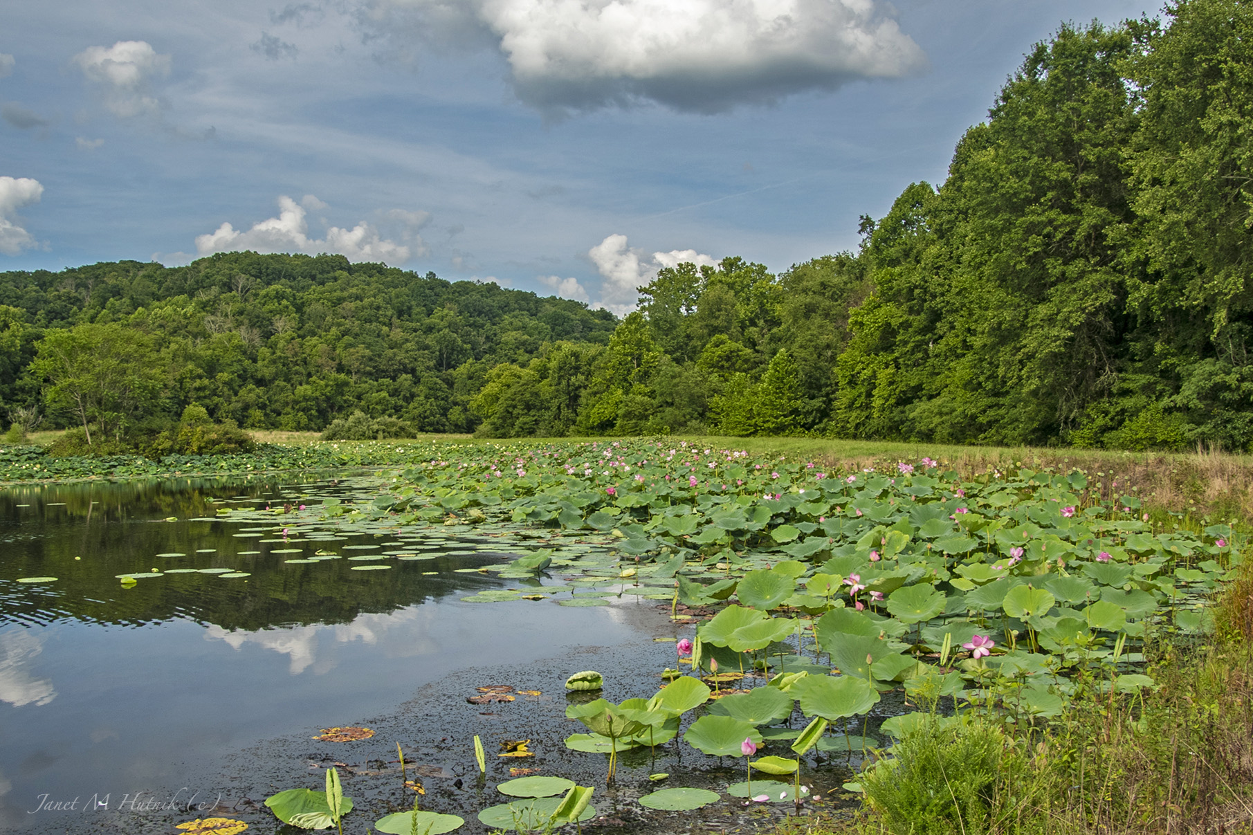
Lillies, Lillies, Lillies

Good morning #bambi! #deer #almostroadkill

Natural and man made clouds
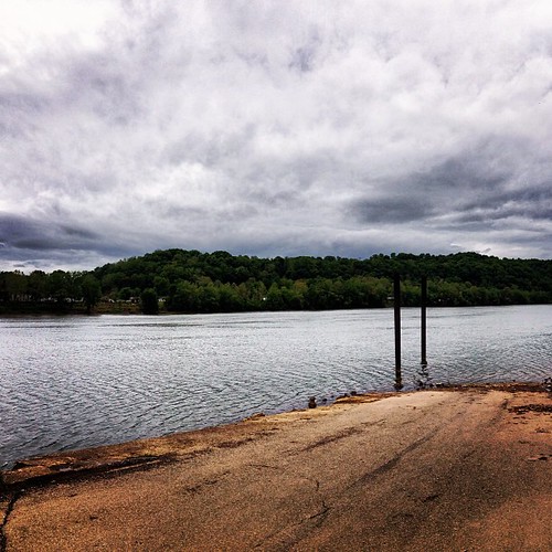
Middleport Boat Access #OhioRiver
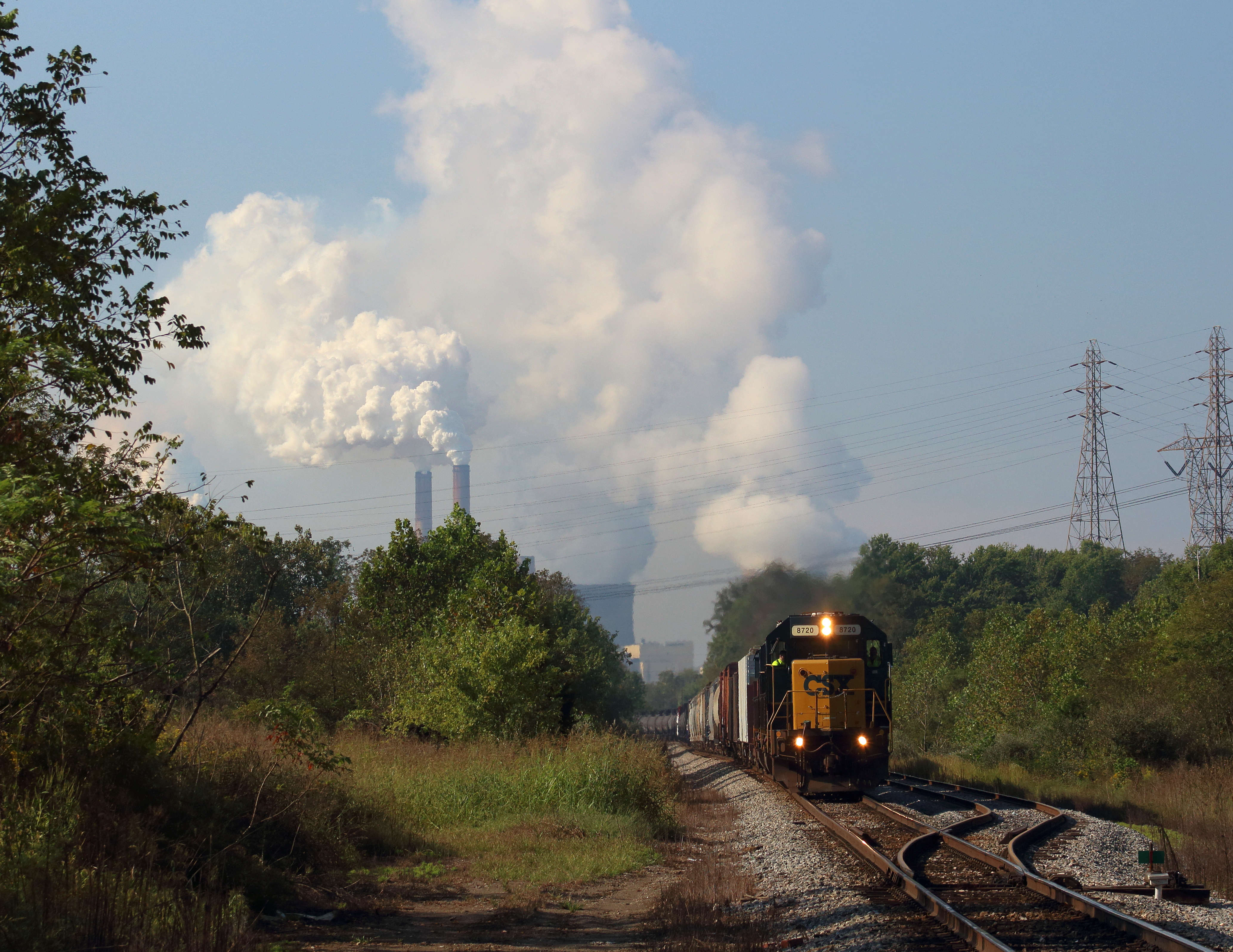
Steam over Diesel
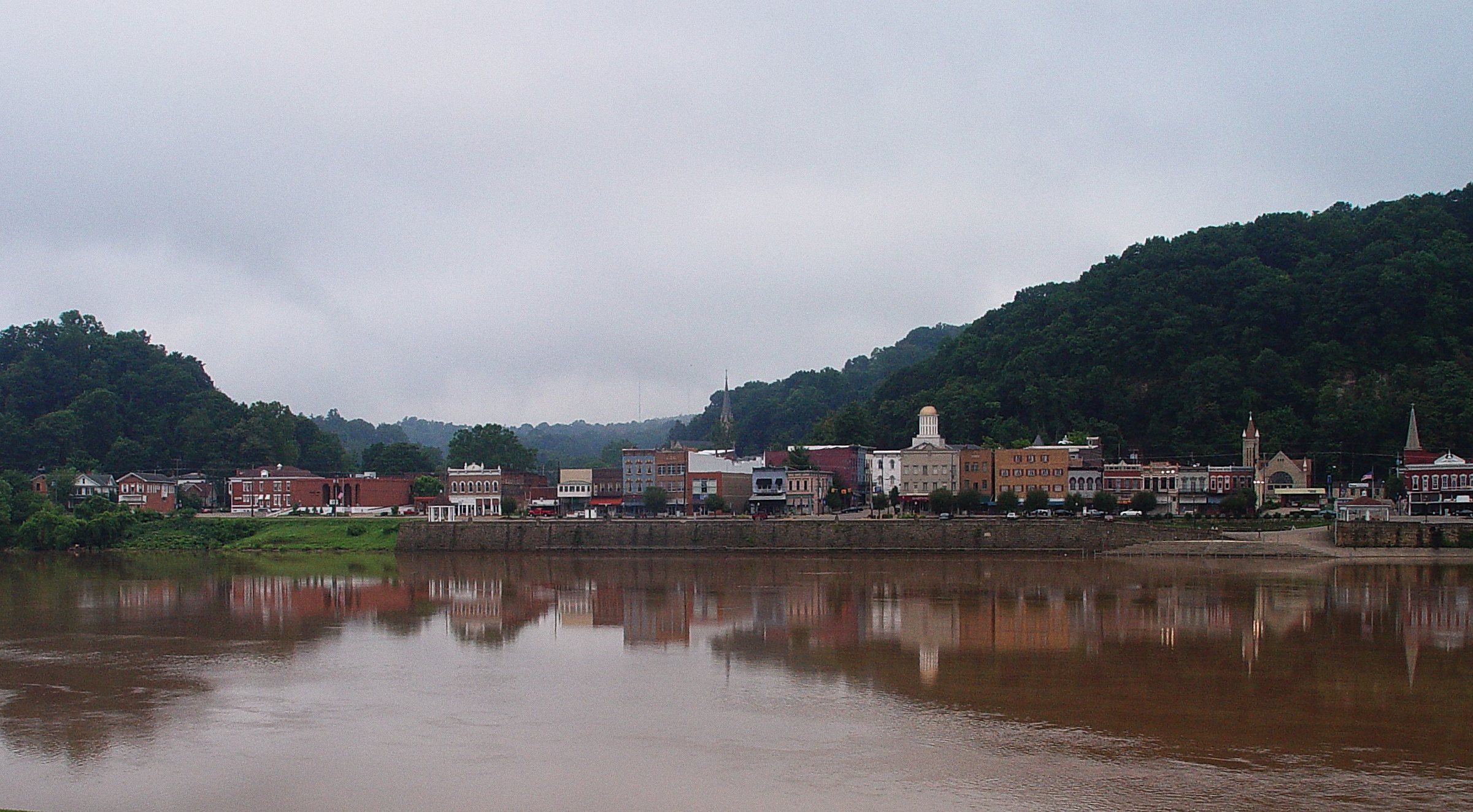
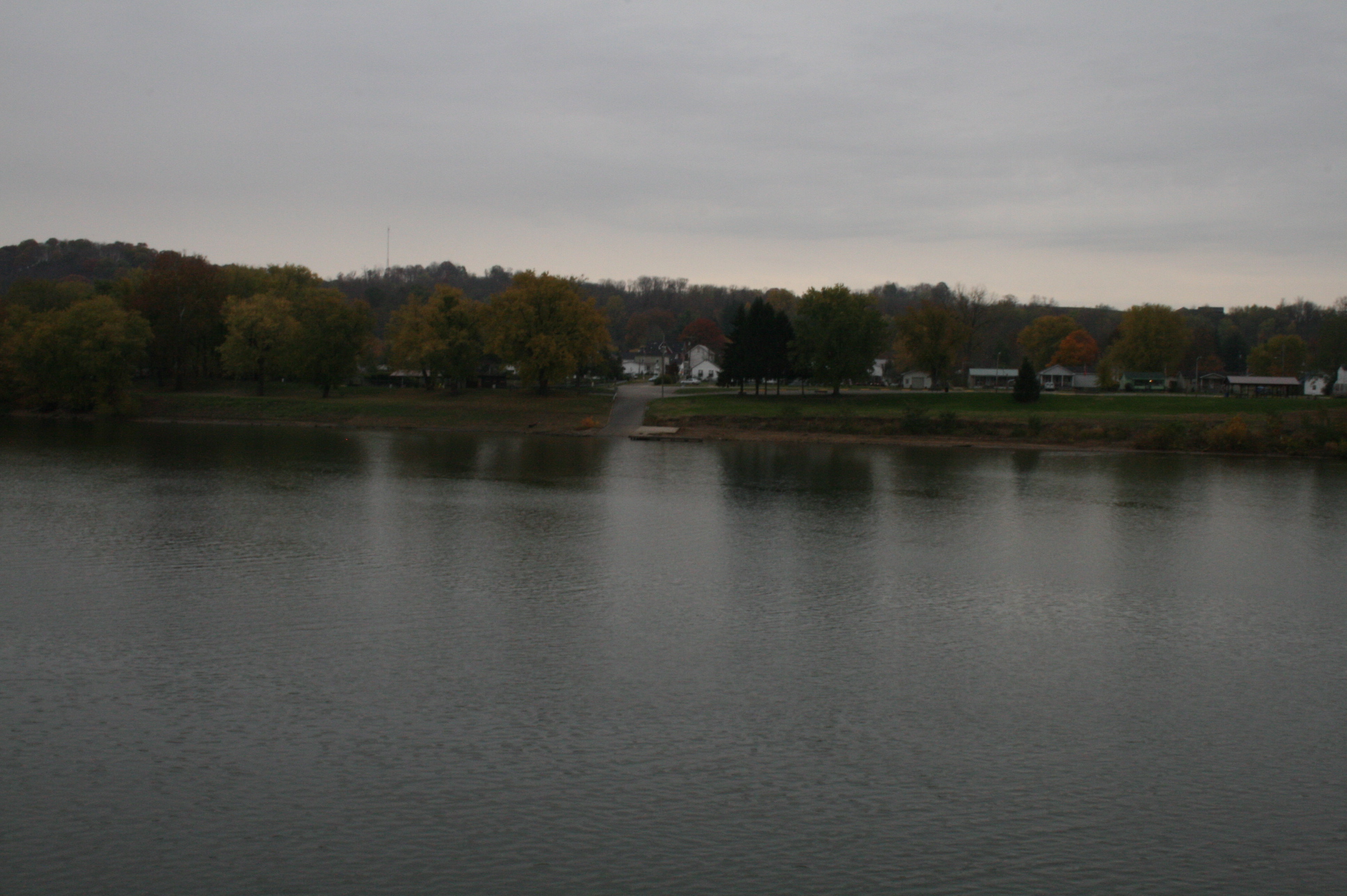
Pomeroy, Ohio
MPB 35-53-02, Meigs County, Ohio
Pomeroy, OH 5
Topographic Map of Rocksprings Rd, Pomeroy, OH, USA
Find elevation by address:

Places near Rocksprings Rd, Pomeroy, OH, USA:
Meigs County
East Main Street
35190 Flatwoods Rd
Flatwoods
Pomeroy
Salisbury Township
20 Butternut Ave
203 Butternut Ave
205 Butternut Ave
207 Butternut Ave
306 Wetzgall St
36995 Wickham Rd
37012 Wolfpen Rd
40221 Township Hwy 130
Darwin
Bedford Township
Gold Ridge Road
OH-, Pomeroy, OH, USA
New Lima Rd, Rutland, OH, USA
Hill St, Middleport, OH, USA
Recent Searches:
- Elevation of Corso Fratelli Cairoli, 35, Macerata MC, Italy
- Elevation of Tallevast Rd, Sarasota, FL, USA
- Elevation of 4th St E, Sonoma, CA, USA
- Elevation of Black Hollow Rd, Pennsdale, PA, USA
- Elevation of Oakland Ave, Williamsport, PA, USA
- Elevation of Pedrógão Grande, Portugal
- Elevation of Klee Dr, Martinsburg, WV, USA
- Elevation of Via Roma, Pieranica CR, Italy
- Elevation of Tavkvetili Mountain, Georgia
- Elevation of Hartfords Bluff Cir, Mt Pleasant, SC, USA