Elevation of Wiang Phang Kham, Mae Sai District, Chiang Rai, Thailand
Location: Wiang Phang Kham > Mae Sai District >
Longitude: 99.8851953
Latitude: 20.4316335
Elevation: 402m / 1319feet
Barometric Pressure: 97KPa
Elevation Map:
Satellite Map:
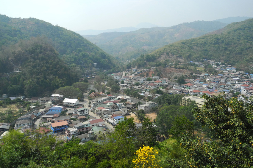
Related Photos:

Thailand IMG_9252

Temple Roof
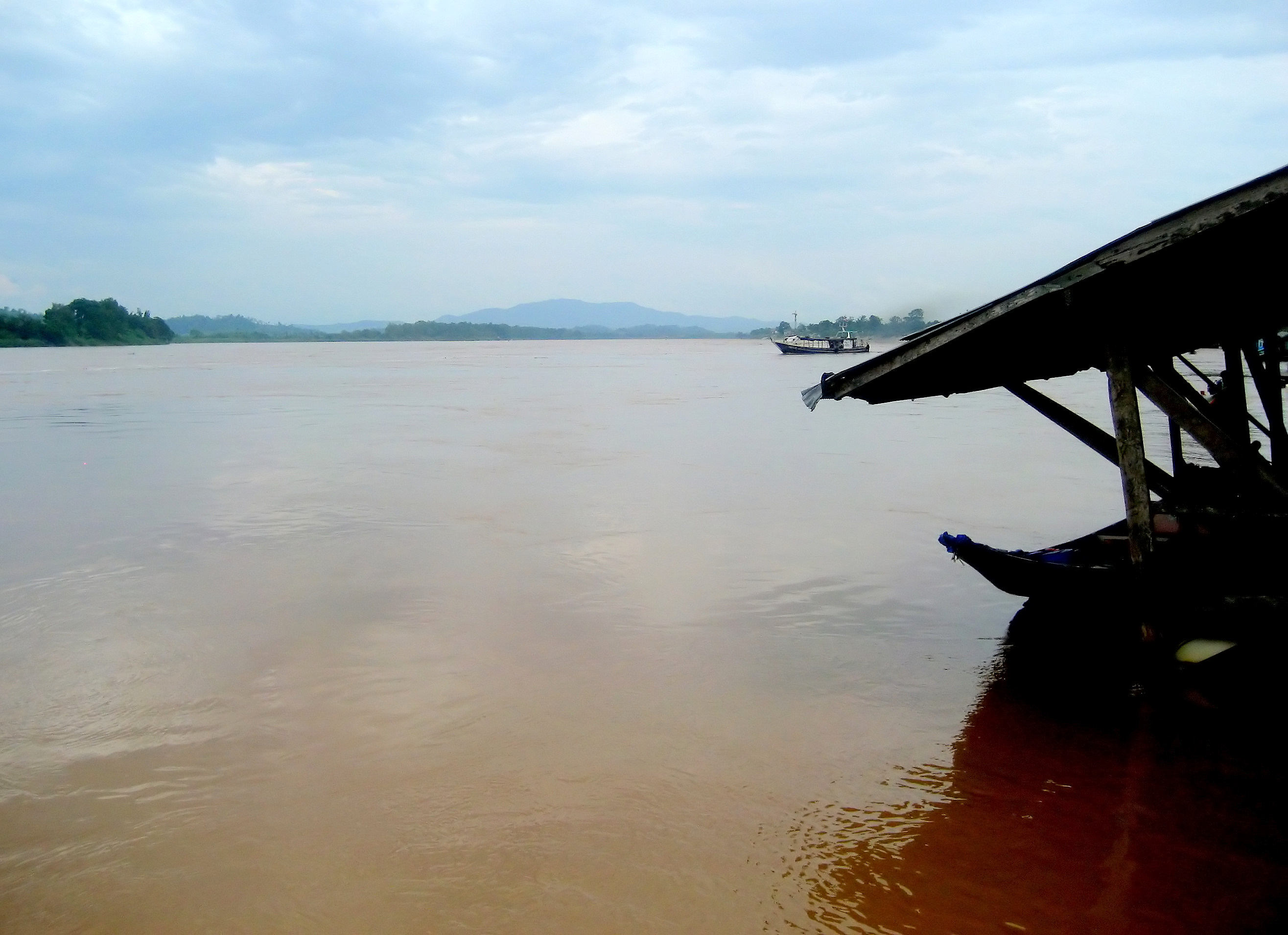
The Mighty Mekong river,,
Scorpion View 4529
Scorpion View 4537
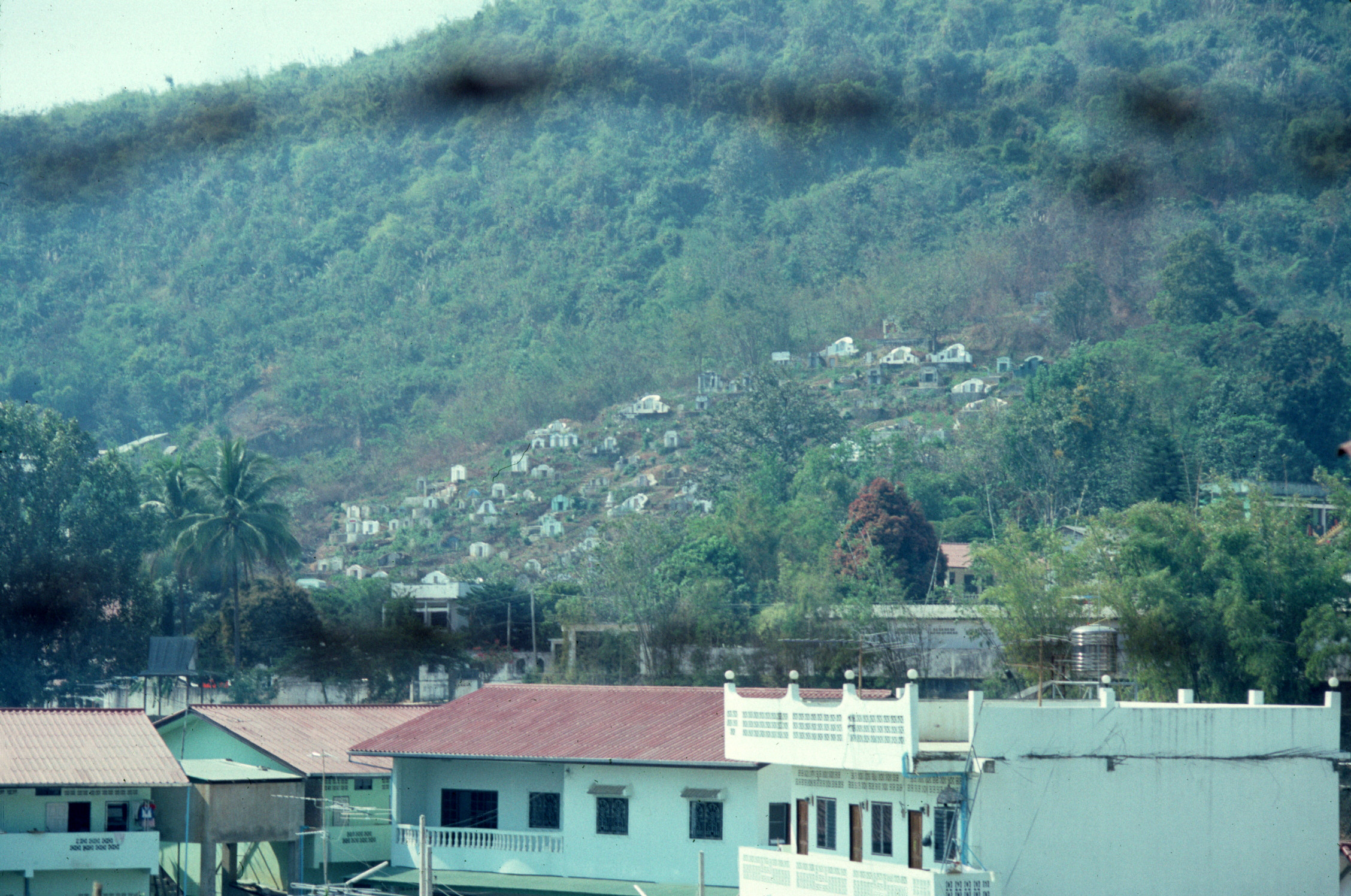
Burma - 2000 (176-09)

Thailand 2011
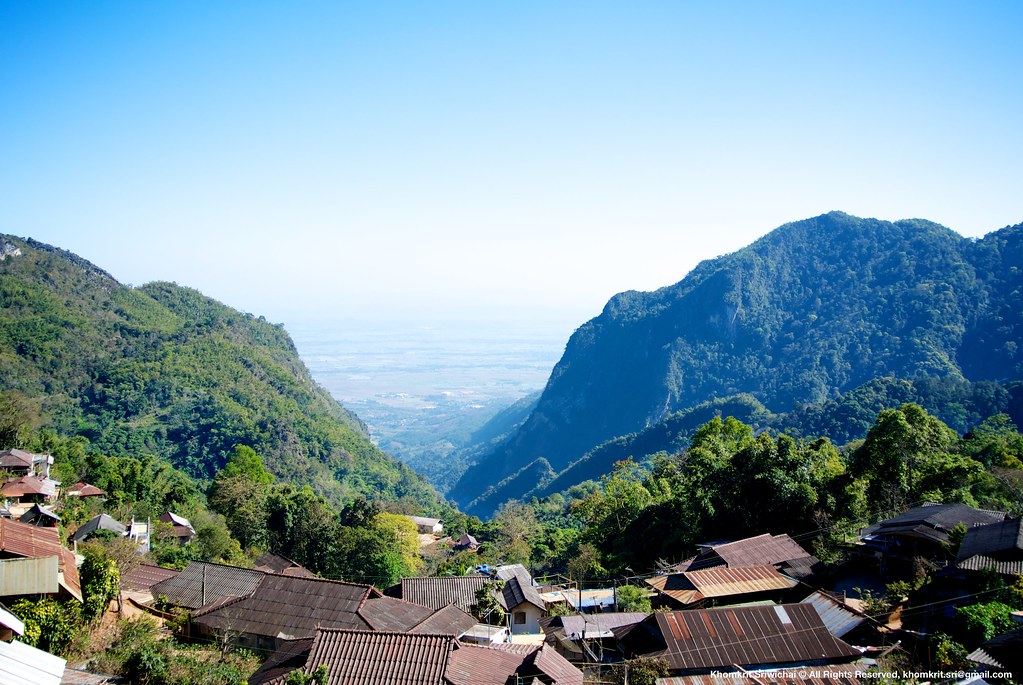
Doi Tung view
NMSP central area

Day-dreaming monkey
Statue.

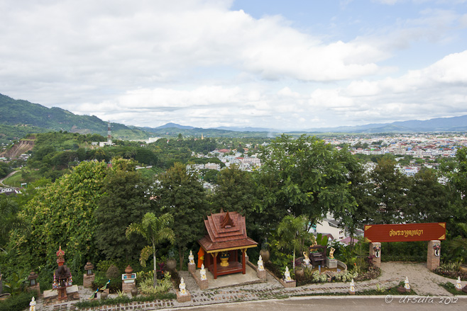
Chiang Rai
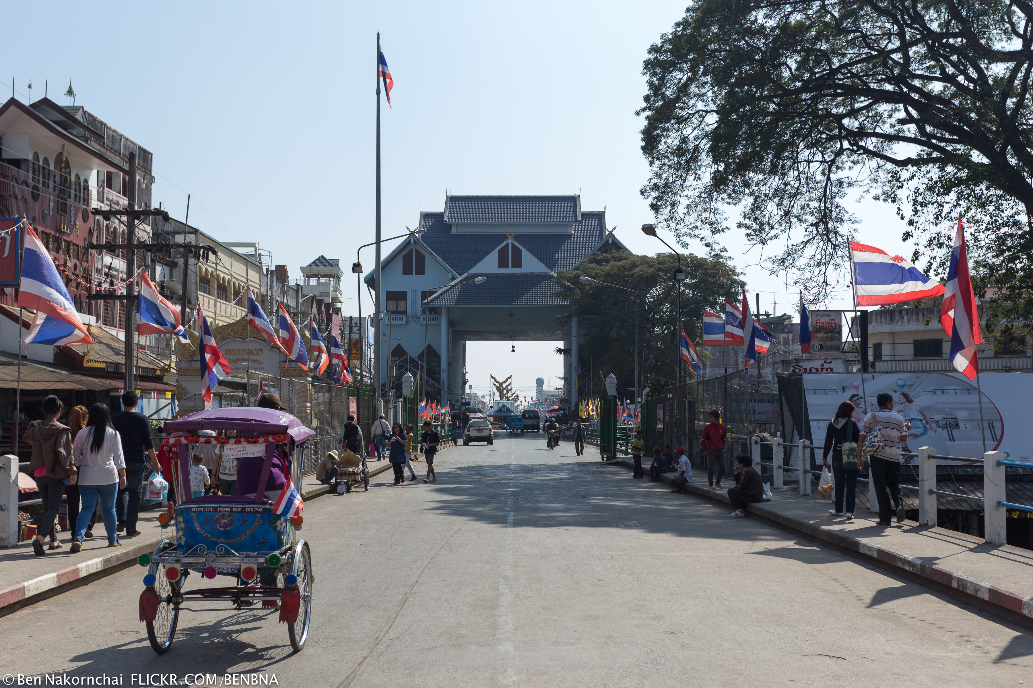
Thai-Myanmar Boundary
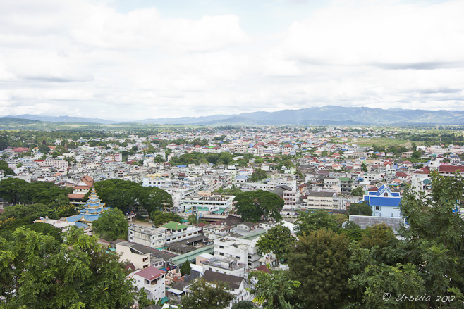
Chiang Rai
Thai-Myanmar Boundary

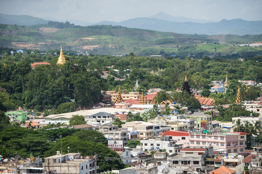
Ta Kee Lek, Chiang Rai, Thailand

26500-Measai
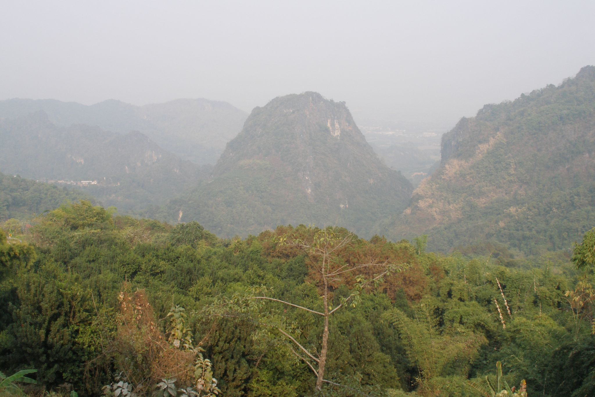
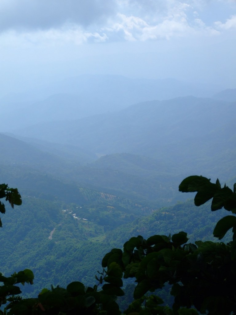
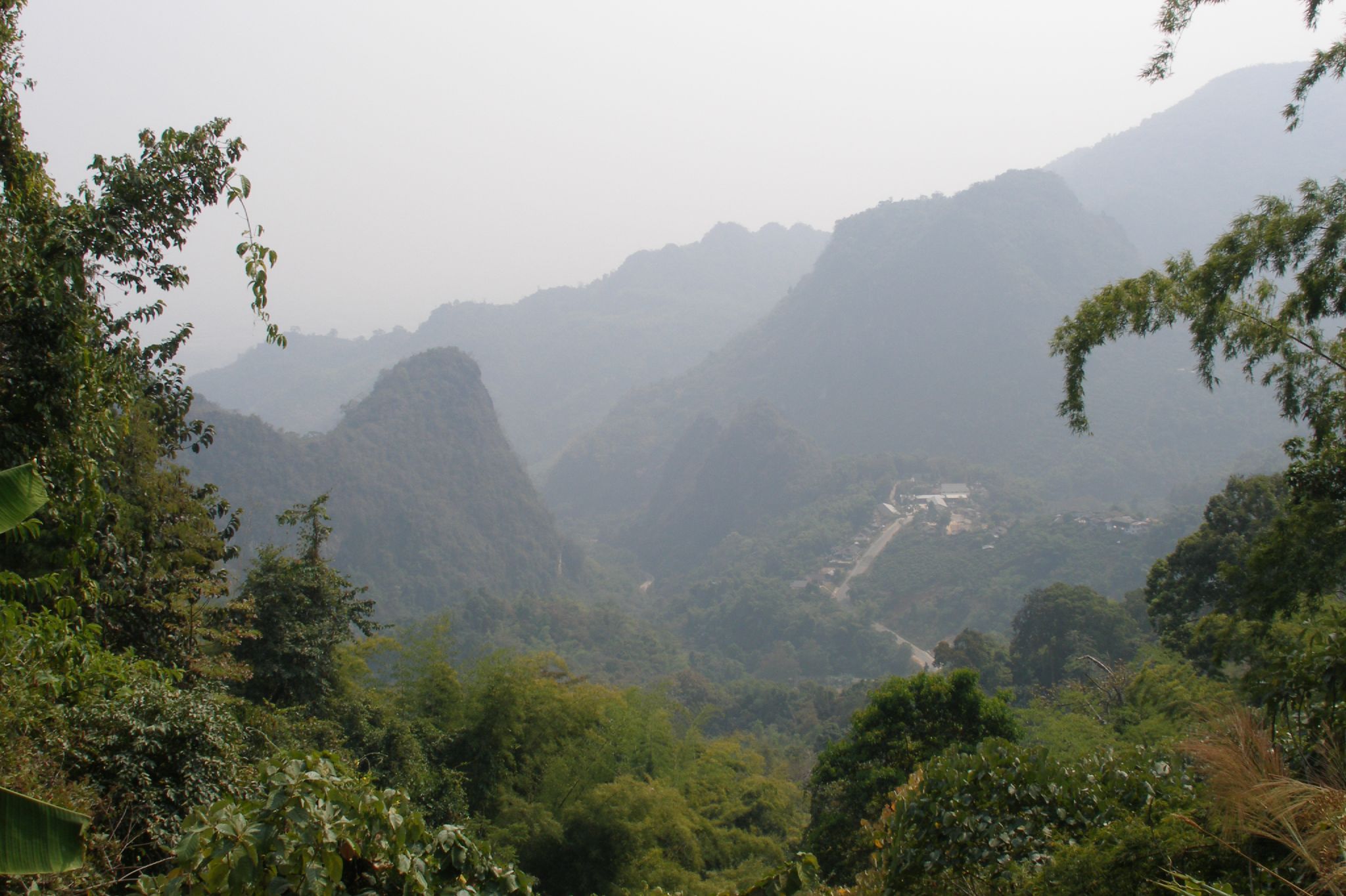
Mae Sai mountains (2007-02-310)

Triangle d'or
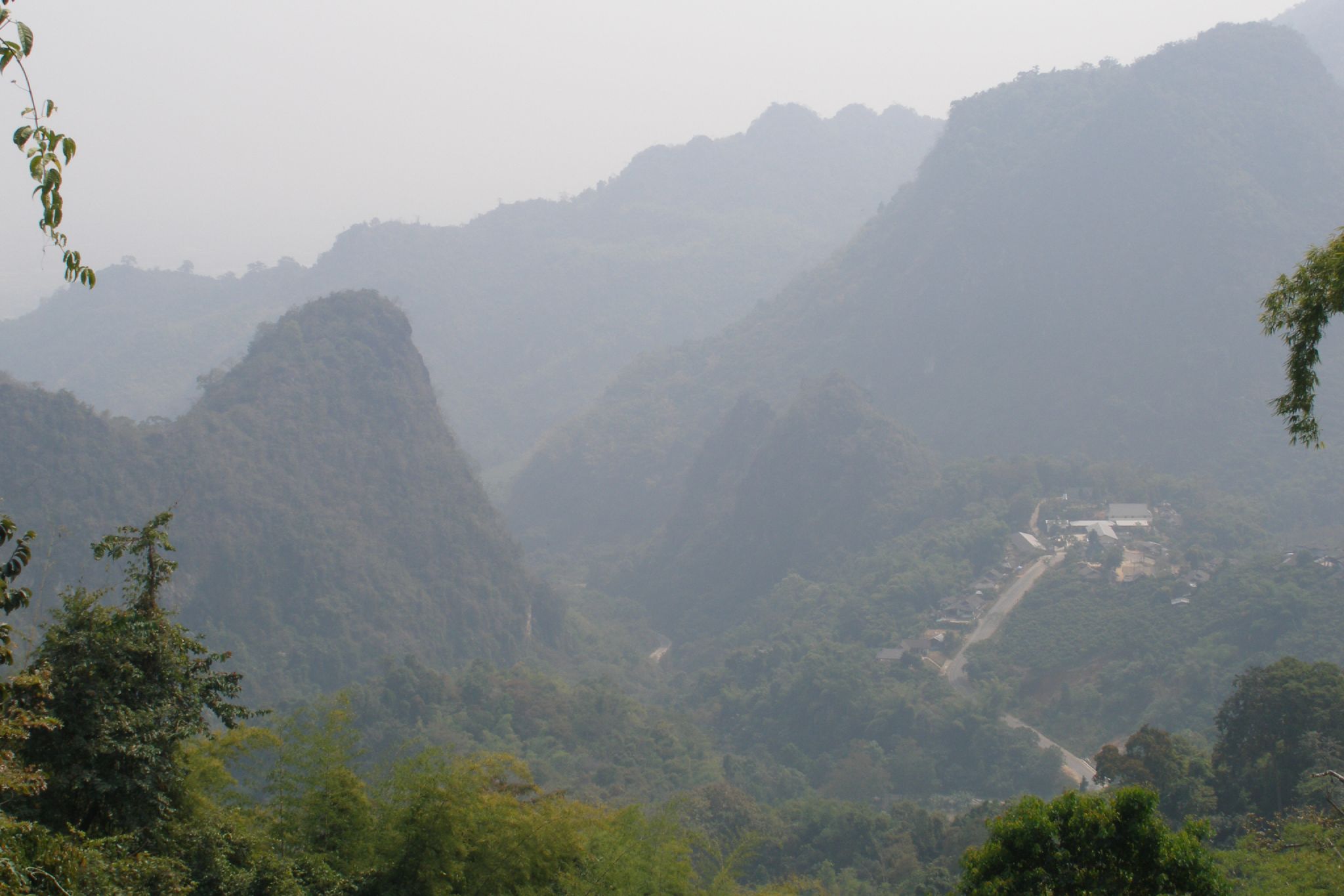
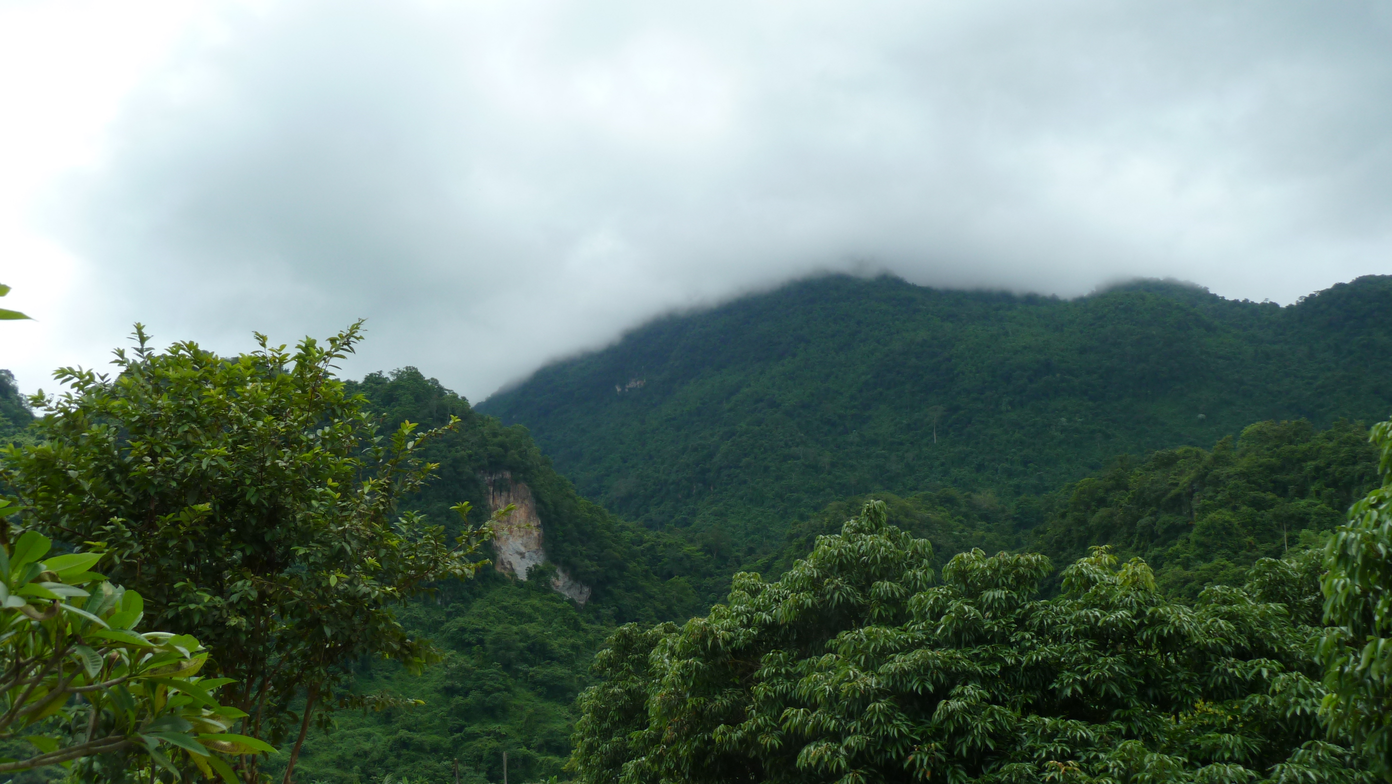
Mae Sai mountains (2007-02-307)
Mae Sai mountains (2007-02-306)
บ้านผาฮี้'s scenery
Auf dem Weg zu den Höhlen

Maar er wordt gewoon driftig doorgewerkt met rijst planten
The river between Thailand and Myanmar
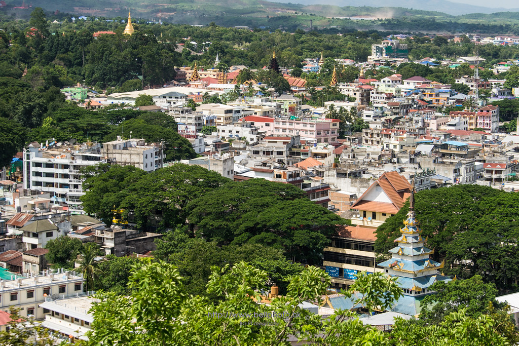
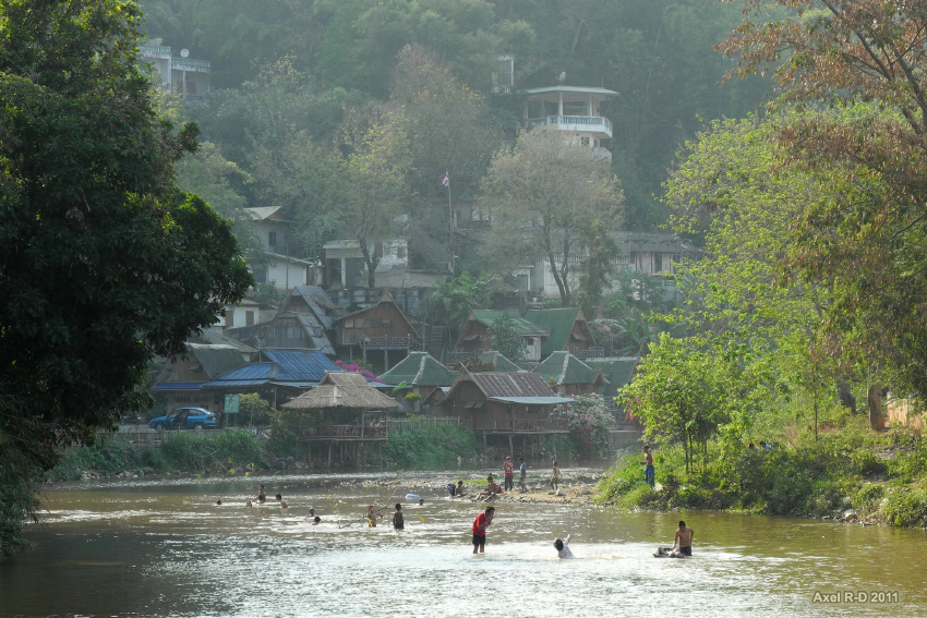
Mae Sai (Thailand) and Tachileik (Myanmar)
Topographic Map of Wiang Phang Kham, Mae Sai District, Chiang Rai, Thailand
Find elevation by address:

Places in Wiang Phang Kham, Mae Sai District, Chiang Rai, Thailand:
Places near Wiang Phang Kham, Mae Sai District, Chiang Rai, Thailand:
Mae Sai District
Tachileik
Mae Sai
Tham Luang Cave Complex
Pong Pha
Four Seasons Tented Camp Golden Triangle, Thailand
Mae Chan District
Maechan Hospital
Chiang Saen District
Karen Long Neck สถานที่ท่องเที่ยวบ้านกะเหรี่ยงคอยาว
Nang Lae
Ban Saeo
Waterford Valley Chiangrai Golf Course And Resort
Wiang Chiang Rung District
The Meteorological Station
Thanon Phahon Yothin
ศูนย์วิจัยพืชสวนเชียงราย
Wiang Chai
Chiang Khong Imigration Control Office
Wiang Chai District
Recent Searches:
- Elevation of Corso Fratelli Cairoli, 35, Macerata MC, Italy
- Elevation of Tallevast Rd, Sarasota, FL, USA
- Elevation of 4th St E, Sonoma, CA, USA
- Elevation of Black Hollow Rd, Pennsdale, PA, USA
- Elevation of Oakland Ave, Williamsport, PA, USA
- Elevation of Pedrógão Grande, Portugal
- Elevation of Klee Dr, Martinsburg, WV, USA
- Elevation of Via Roma, Pieranica CR, Italy
- Elevation of Tavkvetili Mountain, Georgia
- Elevation of Hartfords Bluff Cir, Mt Pleasant, SC, USA