Elevation of Mae Sai, Mae Sai District, Chiang Rai, Thailand
Location: Wiang Phang Kham > Mae Sai District >
Longitude: 99.9185708
Latitude: 20.4225249
Elevation: 386m / 1266feet
Barometric Pressure: 97KPa
Elevation Map:
Satellite Map:
Related Photos:

Eye on the Ball
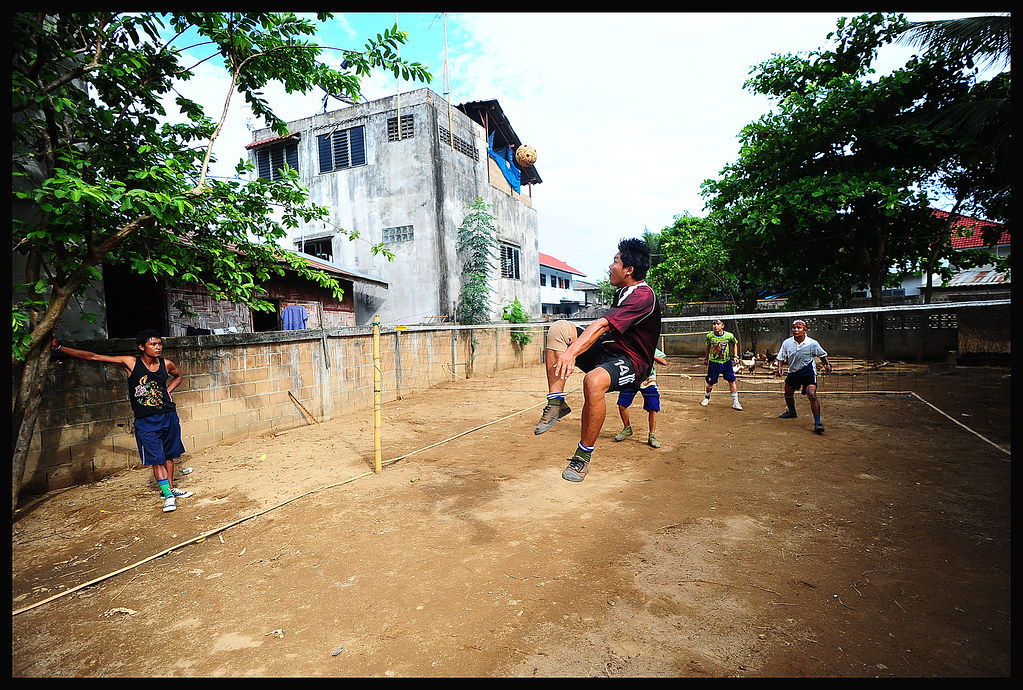
Hang Time
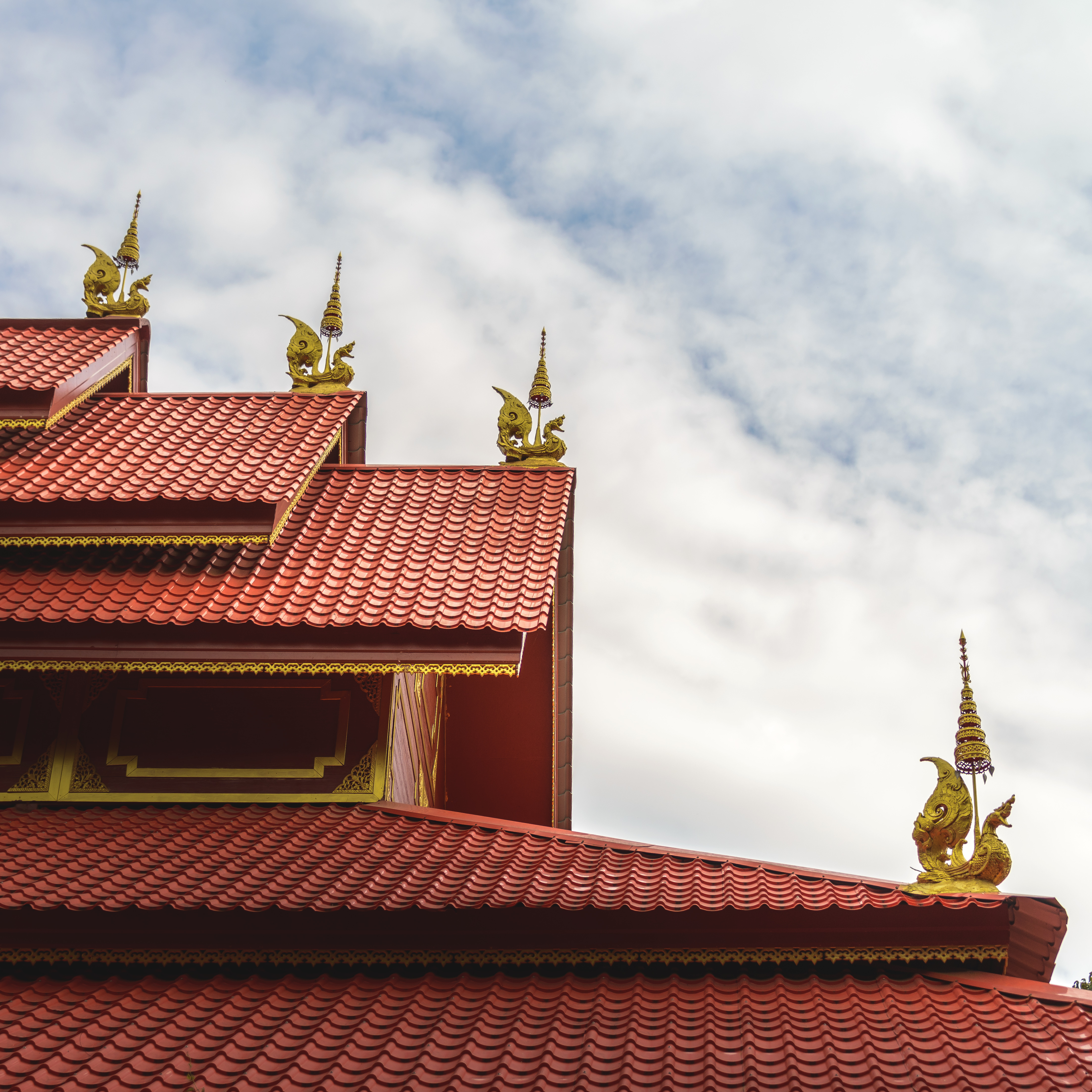
Temple Roof

Scorpion View 4537

Scorpion View 4536

Thailand/Burma border viewed from Mae Sai

Thailand IMG_9252

The Mighty Mekong river,,
Scorpion View 4529

Evening view from Hotel room

Doi Tung view

Thailand 2011

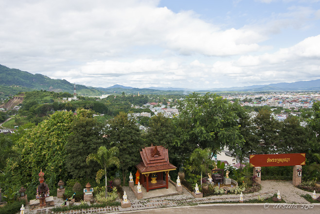
Mae Sai, bird's eye view
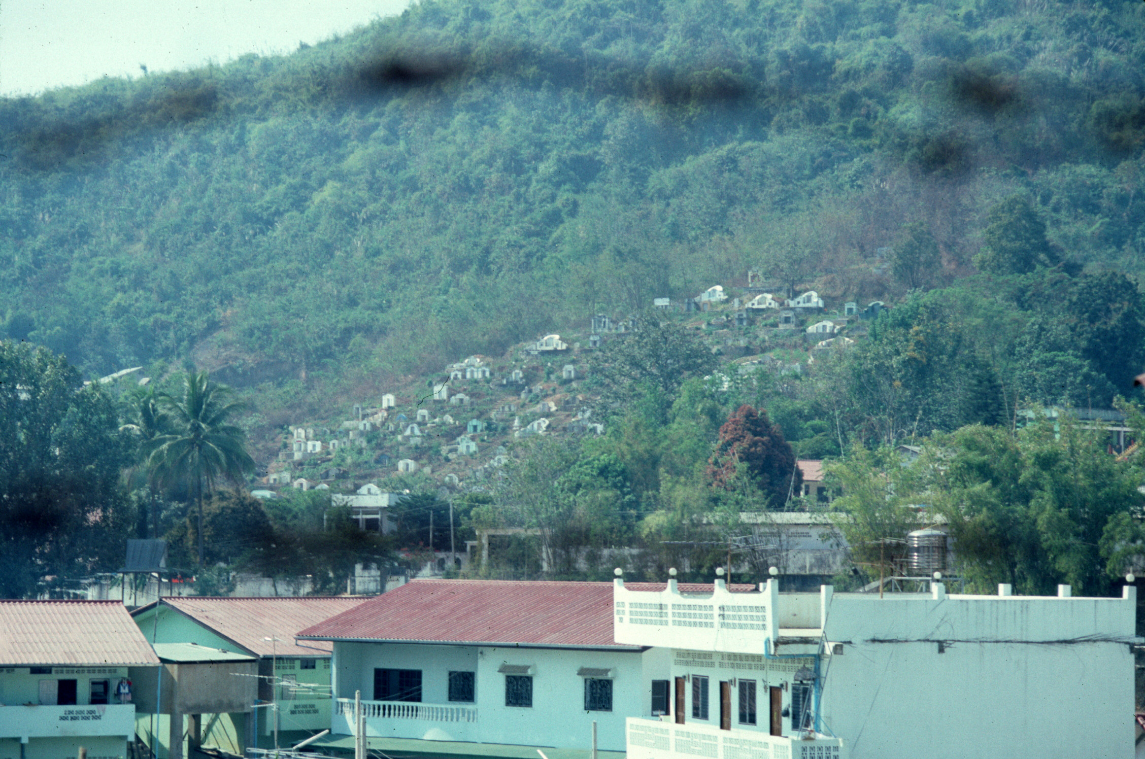
Burma - 2000 (176-09)
Topographic Map of Mae Sai, Mae Sai District, Chiang Rai, Thailand
Find elevation by address:

Places near Mae Sai, Mae Sai District, Chiang Rai, Thailand:
Wiang Phang Kham
Mae Sai District
Tachileik
Pong Pha
Tham Luang Cave Complex
Four Seasons Tented Camp Golden Triangle, Thailand
Mae Chan District
Maechan Hospital
Chiang Saen District
Ban Saeo
Karen Long Neck สถานที่ท่องเที่ยวบ้านกะเหรี่ยงคอยาว
Nang Lae
Waterford Valley Chiangrai Golf Course And Resort
Wiang Chiang Rung District
The Meteorological Station
Thanon Phahon Yothin
Chiang Khong Imigration Control Office
ศูนย์วิจัยพืชสวนเชียงราย
Huay Xai
Chiang Khong District
Recent Searches:
- Elevation of Corso Fratelli Cairoli, 35, Macerata MC, Italy
- Elevation of Tallevast Rd, Sarasota, FL, USA
- Elevation of 4th St E, Sonoma, CA, USA
- Elevation of Black Hollow Rd, Pennsdale, PA, USA
- Elevation of Oakland Ave, Williamsport, PA, USA
- Elevation of Pedrógão Grande, Portugal
- Elevation of Klee Dr, Martinsburg, WV, USA
- Elevation of Via Roma, Pieranica CR, Italy
- Elevation of Tavkvetili Mountain, Georgia
- Elevation of Hartfords Bluff Cir, Mt Pleasant, SC, USA