Elevation of White Sage Ave, Delta, UT, USA
Location: United States > Utah > Millard County > Delta >
Longitude: -112.56101
Latitude: 39.350092
Elevation: 1413m / 4636feet
Barometric Pressure: 85KPa
Elevation Map:
Satellite Map:
Related Photos:

Aerial View of DMAD Reservoir, Utah

U.S. Route 50 Utah Shoe Tree
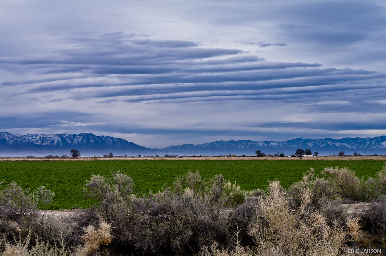
Clouds over the Pahvant Mountains, Millard County, UT
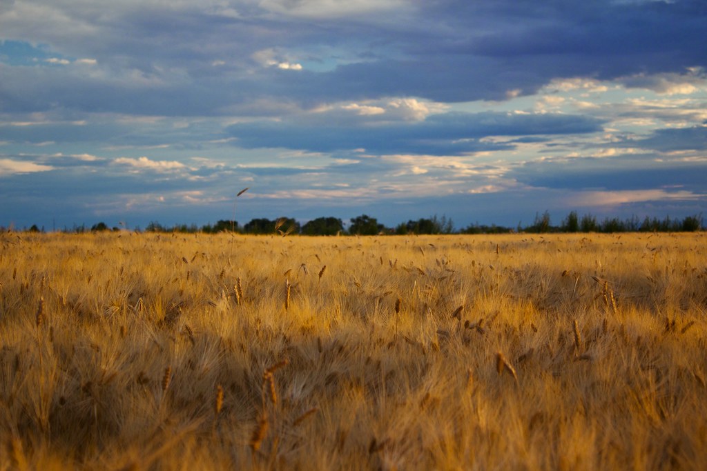
Depth of Field
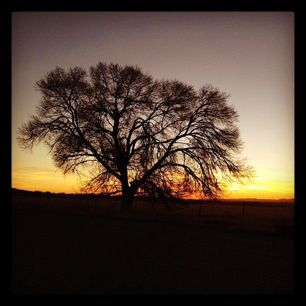
Sunset from Oak City
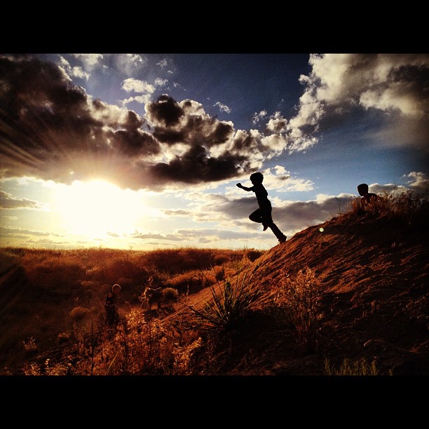
Ethan jumping off the sand dunes
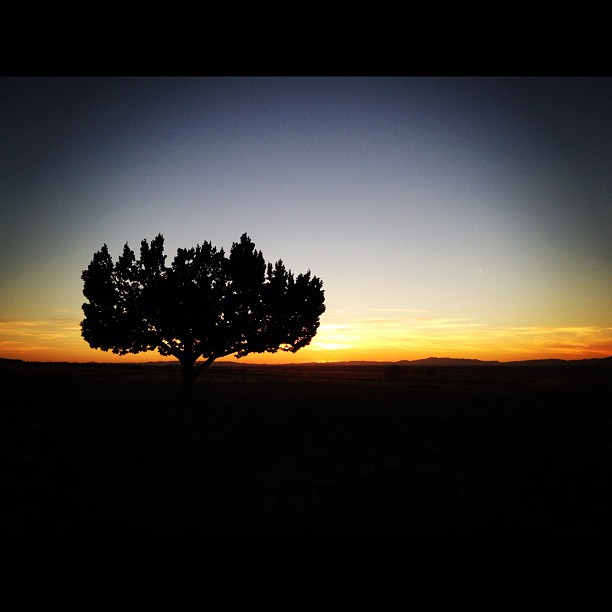
Juniper silhouette at through sunset
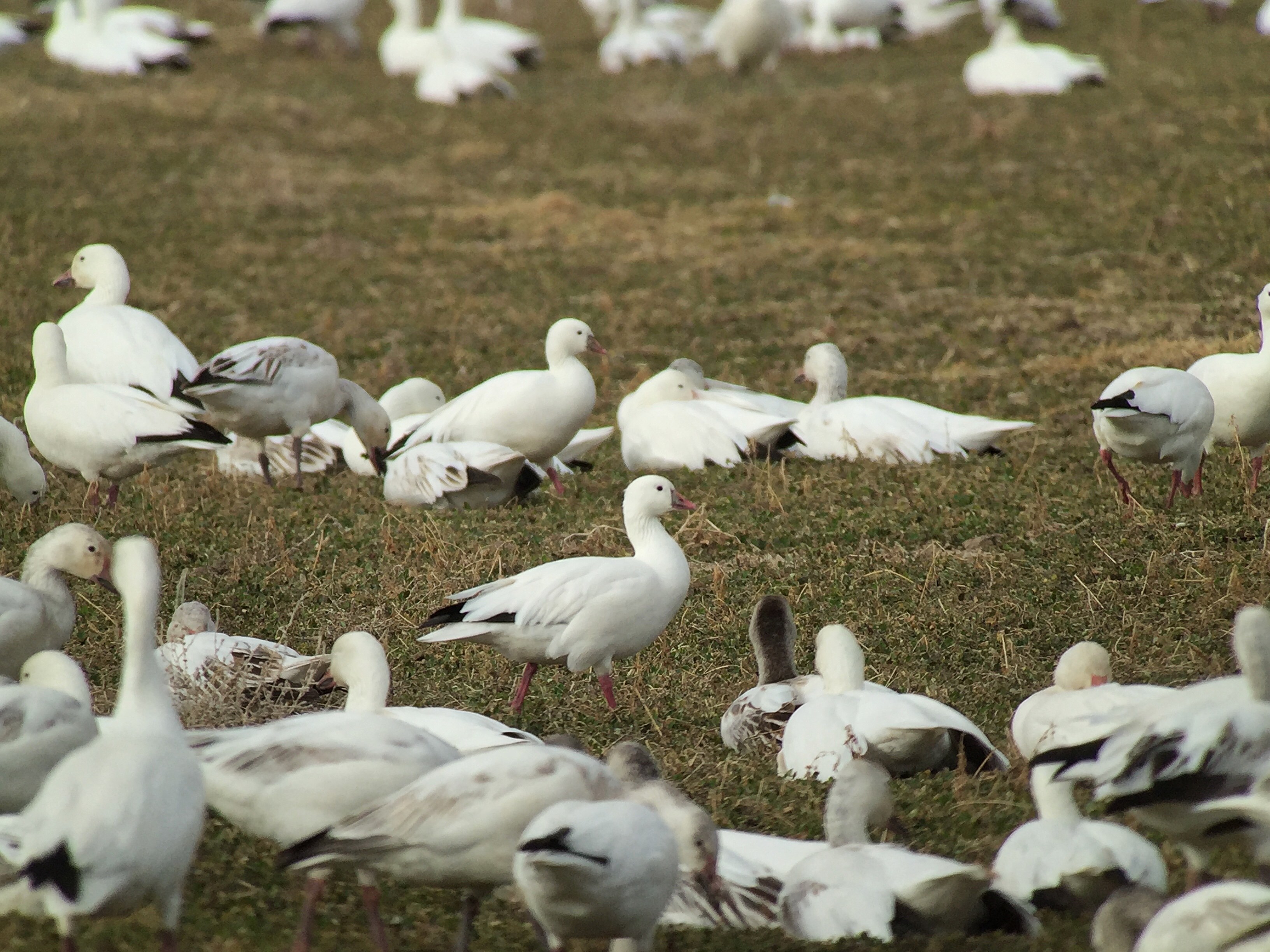
Snow Geese & Ross's Geese - Gunnison Bend Reservoir, Millard Co, UT - Feb 27, 2016
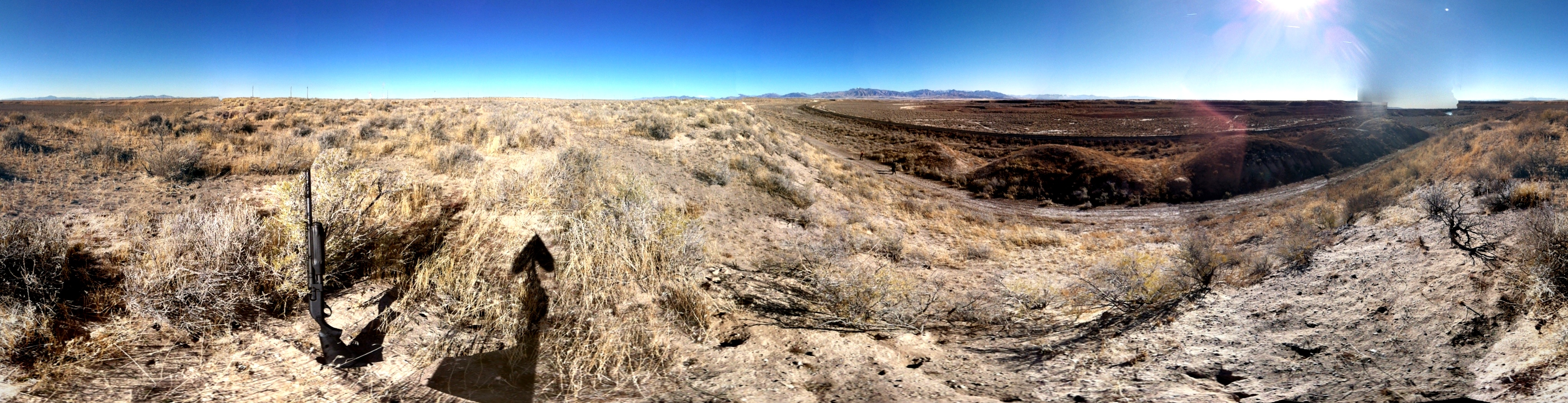
Rabbit Hunting
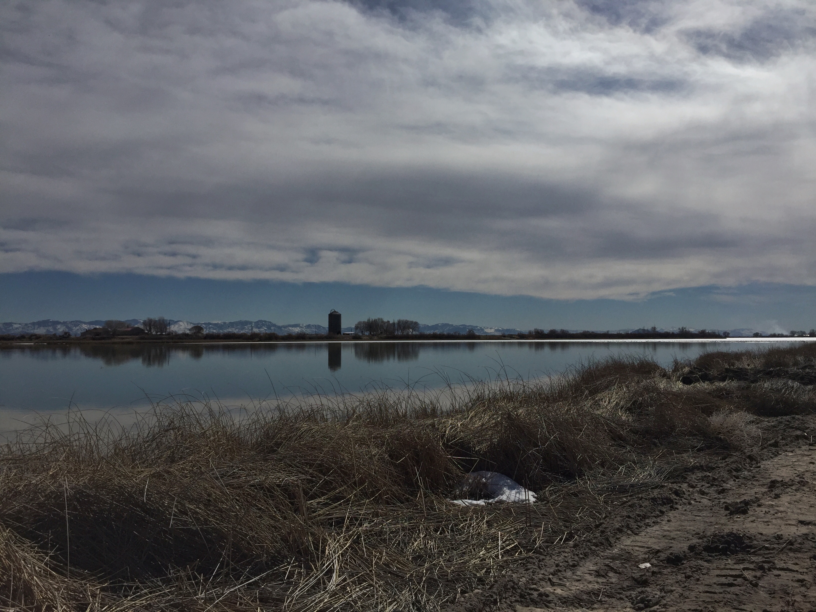
Gunnison Bend Reservoir, Millard Co, UT - Feb 27, 2016
Topographic Map of White Sage Ave, Delta, UT, USA
Find elevation by address:

Places near White Sage Ave, Delta, UT, USA:
Delta
S W, Oasis, UT, USA
94 N Main Hinckley, Hinckley, UT, USA
Millard County
Cove Fort Historic Site
Notch Peak
N Creek Rd, Beaver, UT, USA
North 100 West Street & 400 North Street
Milford
45 W Center St, Milford, UT, USA
200 S 100 W St
South 400 West Street & 400 West
South 400 West Street & 400 West
2740 Navajo Trail N
2740 Navajo Trail N
Beaver
East 300 South Street
Forest Road 149
Greenville
S W, Greenville, UT, USA
Recent Searches:
- Elevation of Corso Fratelli Cairoli, 35, Macerata MC, Italy
- Elevation of Tallevast Rd, Sarasota, FL, USA
- Elevation of 4th St E, Sonoma, CA, USA
- Elevation of Black Hollow Rd, Pennsdale, PA, USA
- Elevation of Oakland Ave, Williamsport, PA, USA
- Elevation of Pedrógão Grande, Portugal
- Elevation of Klee Dr, Martinsburg, WV, USA
- Elevation of Via Roma, Pieranica CR, Italy
- Elevation of Tavkvetili Mountain, Georgia
- Elevation of Hartfords Bluff Cir, Mt Pleasant, SC, USA