Elevation of Delta, UT, USA
Location: United States > Utah > Millard County >
Longitude: -112.57717
Latitude: 39.3521777
Elevation: 1414m / 4639feet
Barometric Pressure: 85KPa
Elevation Map:
Satellite Map:
Related Photos:

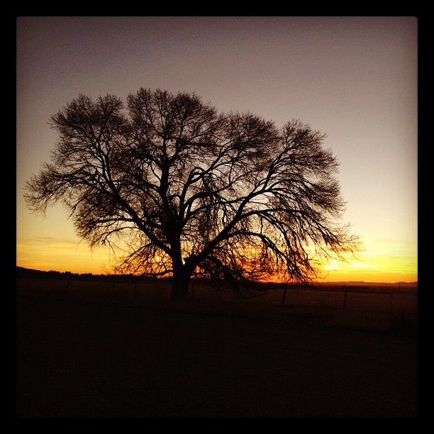
Delta Sunset HDR

Lift Off

Gamma Squadron
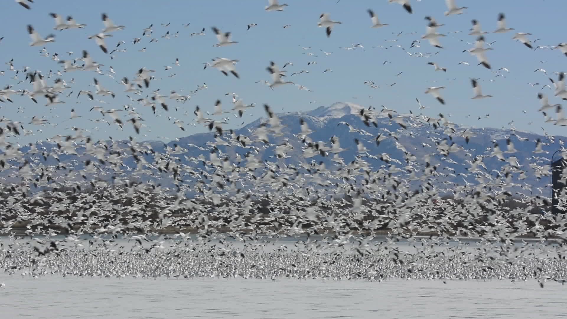
15000 Lesser Snow Geese

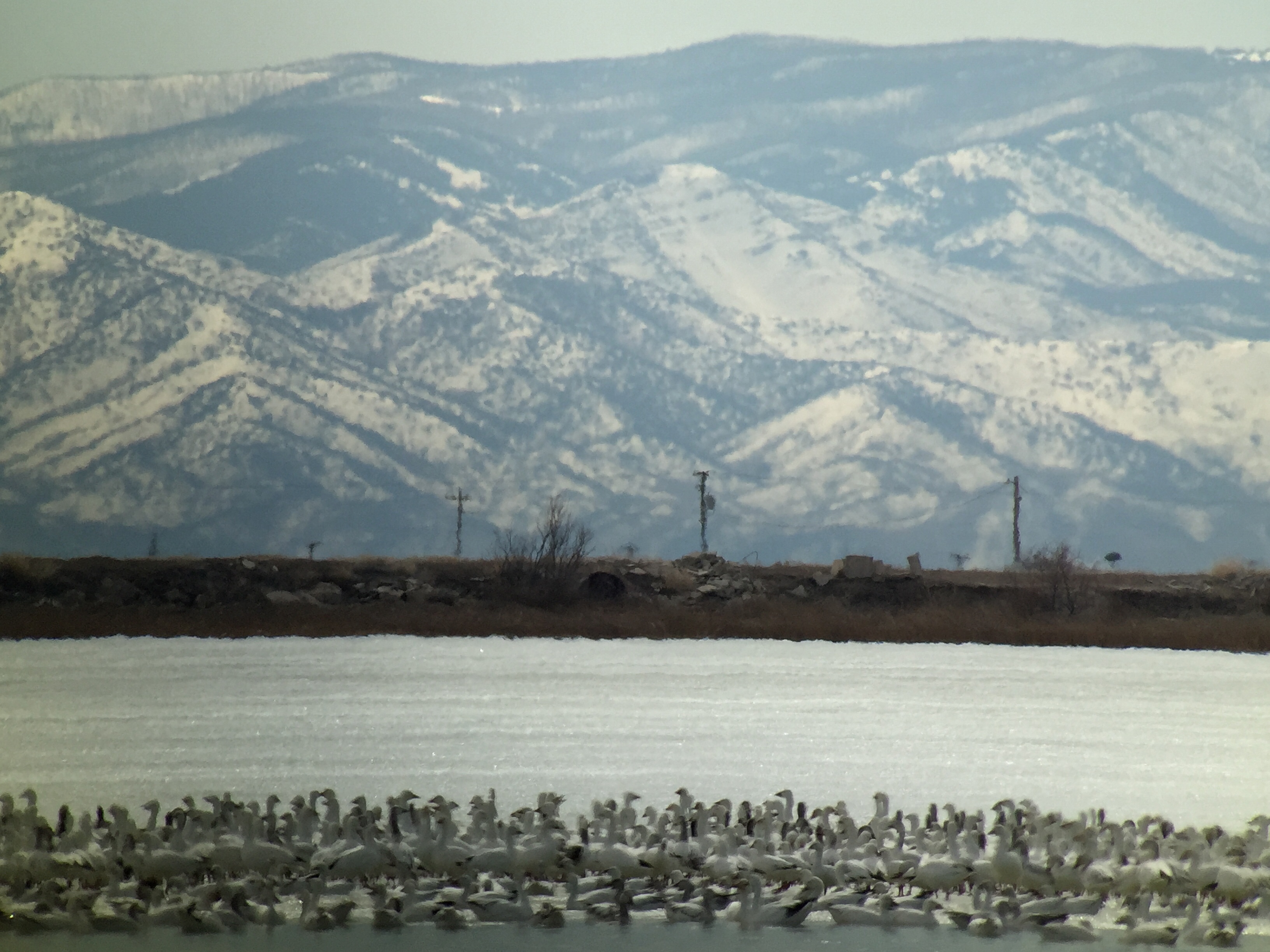
Aerial View of DMAD Reservoir, Utah
Depth of Field
Snow & Ross's Geese - Gunnison Bend Reservoir, Millard Co, UT - Feb 27, 2016
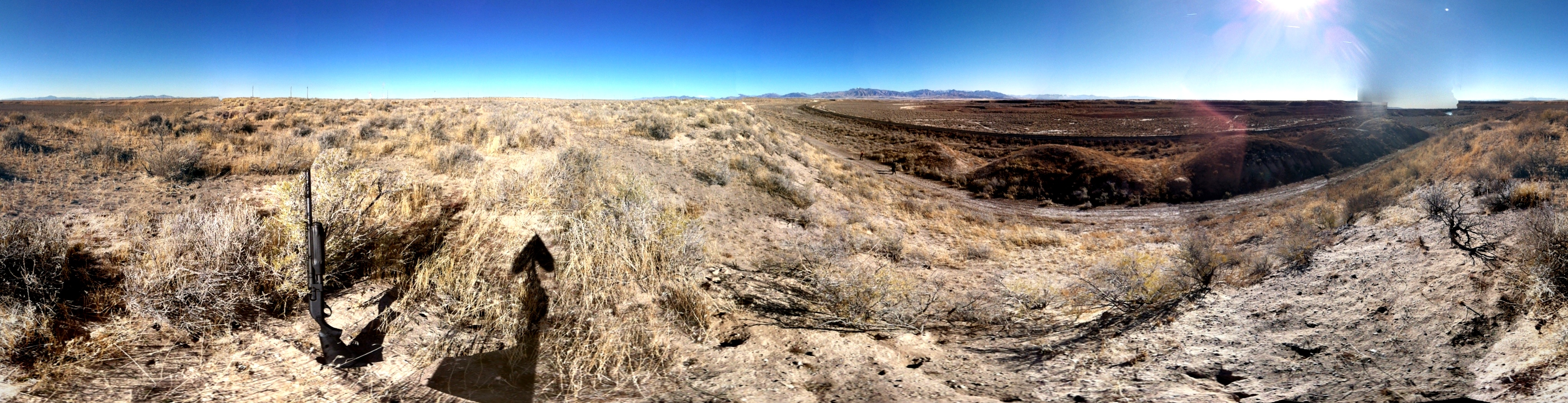
Rabbit Hunting
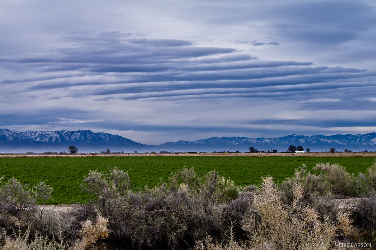
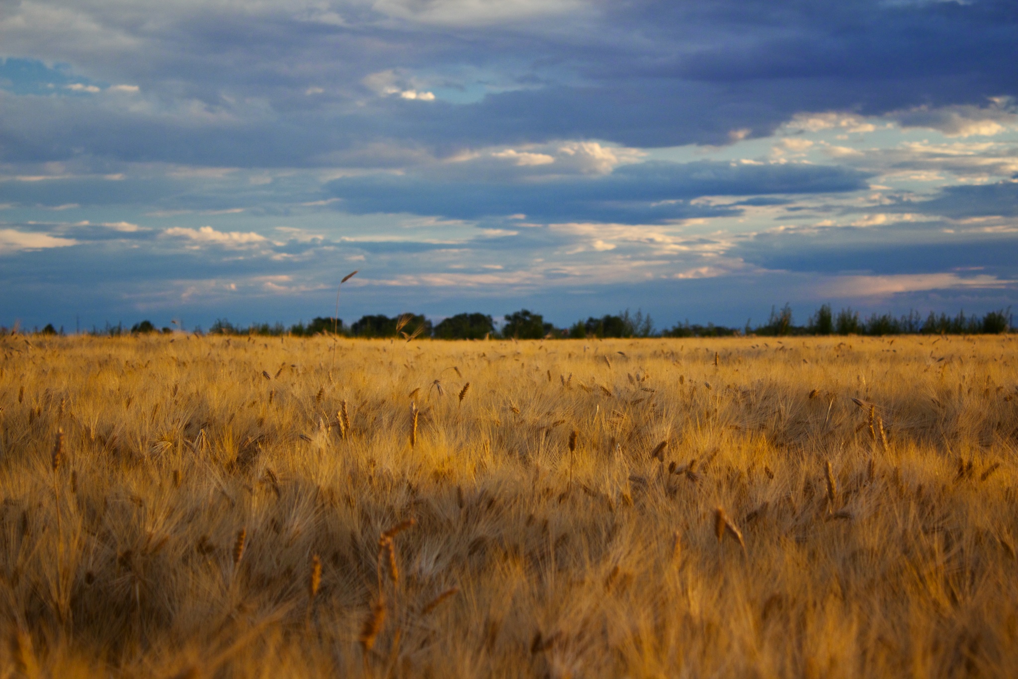
Clouds over the Pahvant Mountains, Millard County, UT
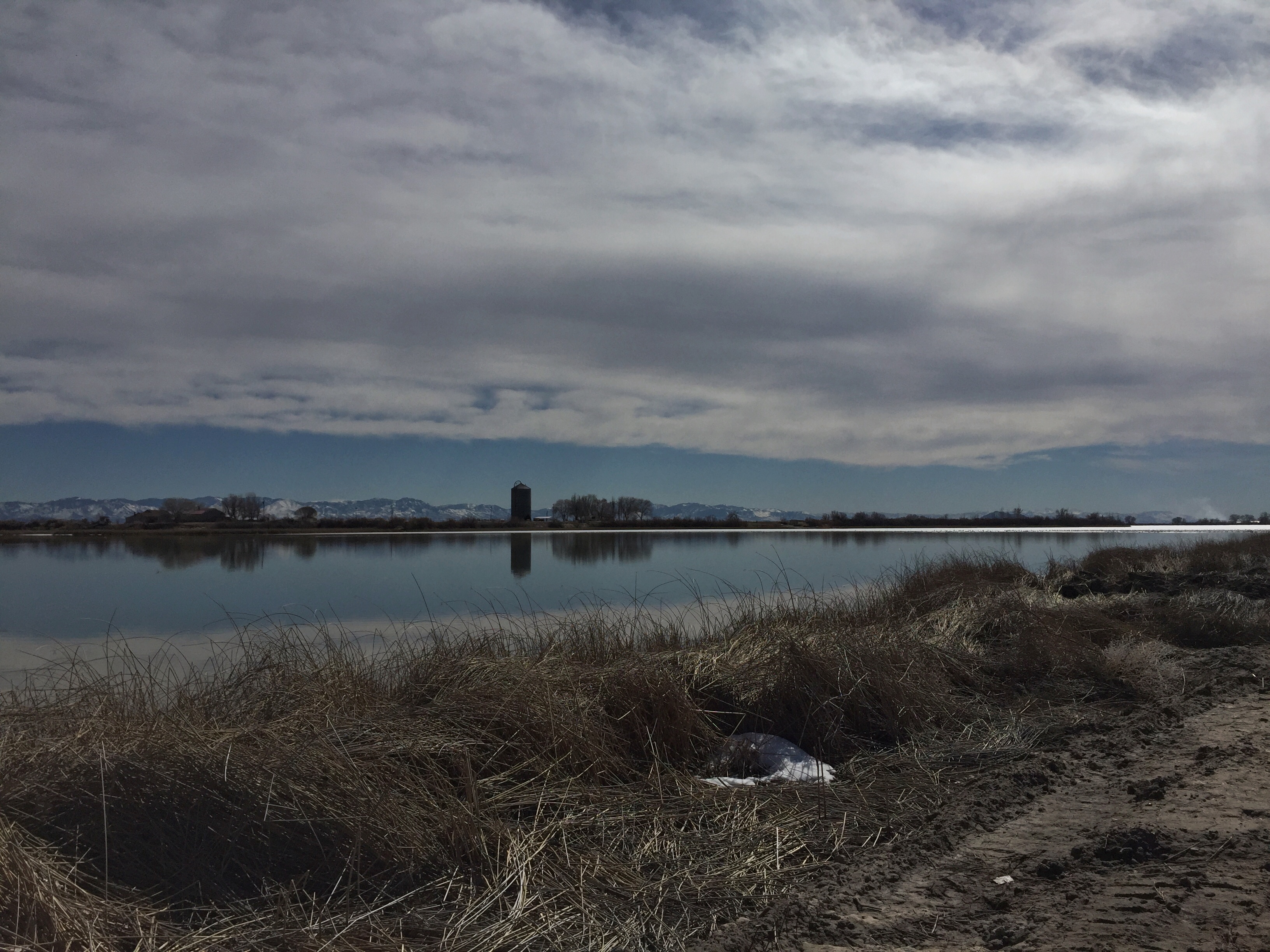
Gunnison Bend Reservoir, Millard Co, UT - Feb 27, 2016
Sunset from Oak City
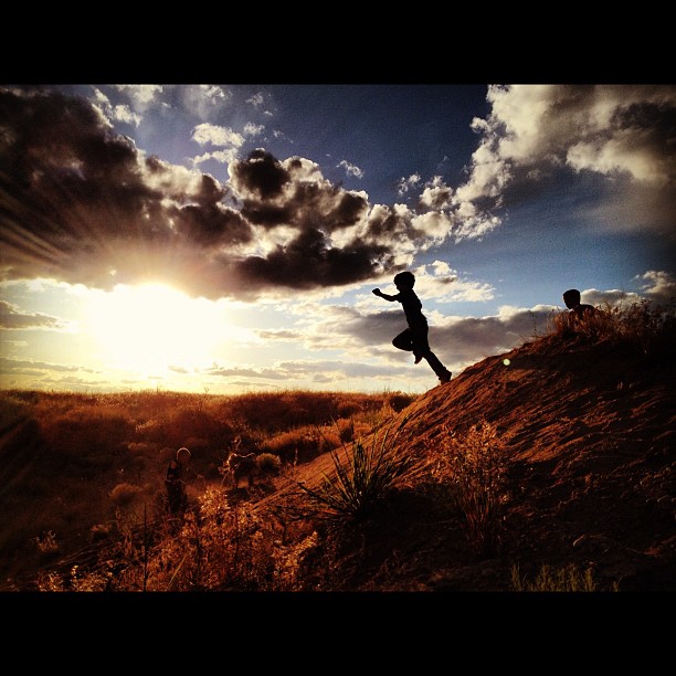
Ethan jumping off the sand dunes
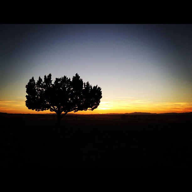
Juniper silhouette at through sunset
Topographic Map of Delta, UT, USA
Find elevation by address:

Places in Delta, UT, USA:
Places near Delta, UT, USA:
126 White Sage Ave
S W, Oasis, UT, USA
94 N Main Hinckley, Hinckley, UT, USA
Millard County
Cove Fort Historic Site
Notch Peak
N Creek Rd, Beaver, UT, USA
North 100 West Street & 400 North Street
Milford
45 W Center St, Milford, UT, USA
200 S 100 W St
South 400 West Street & 400 West
South 400 West Street & 400 West
2740 Navajo Trail N
2740 Navajo Trail N
Beaver
East 300 South Street
Forest Road 149
Greenville
S W, Greenville, UT, USA
Recent Searches:
- Elevation of Corso Fratelli Cairoli, 35, Macerata MC, Italy
- Elevation of Tallevast Rd, Sarasota, FL, USA
- Elevation of 4th St E, Sonoma, CA, USA
- Elevation of Black Hollow Rd, Pennsdale, PA, USA
- Elevation of Oakland Ave, Williamsport, PA, USA
- Elevation of Pedrógão Grande, Portugal
- Elevation of Klee Dr, Martinsburg, WV, USA
- Elevation of Via Roma, Pieranica CR, Italy
- Elevation of Tavkvetili Mountain, Georgia
- Elevation of Hartfords Bluff Cir, Mt Pleasant, SC, USA